Finished at 6pm yesterday (58 hrs). I won’t be able to a proper trip report because I lost my camera en route, and because I’m starting a thru-hike of the Canadian Rockies tomorrow so I’m tight for time. So here goes a quick one.
BMWO 2017 – NOT A GIMME
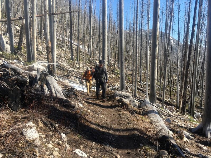
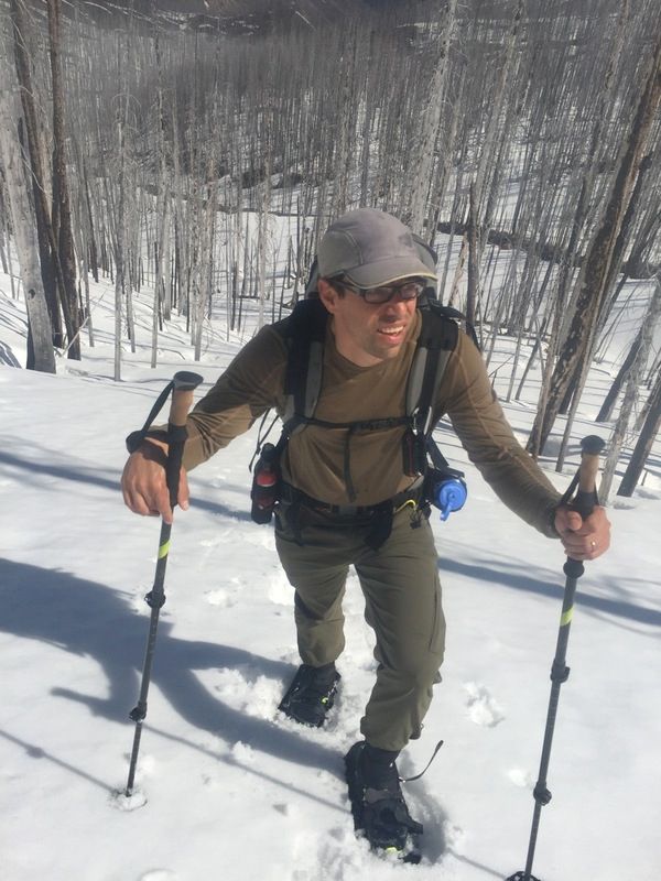
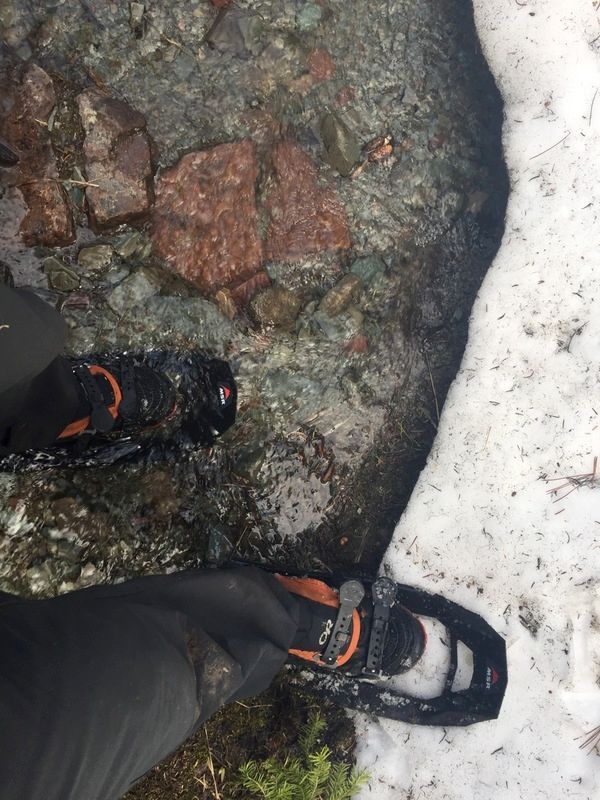
For the BMWO is an opportunity to really challenge yourself. I don’t normally hike anywhere near the fast, hard and minimal, but I like to use the BMWO as an opportunity to challenge myself and explore limits. Just doing the thing was terrifying back in 2012 and since then I’ve continued to try new things. New this year was a pair of skis, no shelter and a mere 6000 calories in the food bag. The gear list this year totalled just 16.6 lbs include 10.5 lbs of ski stuff.

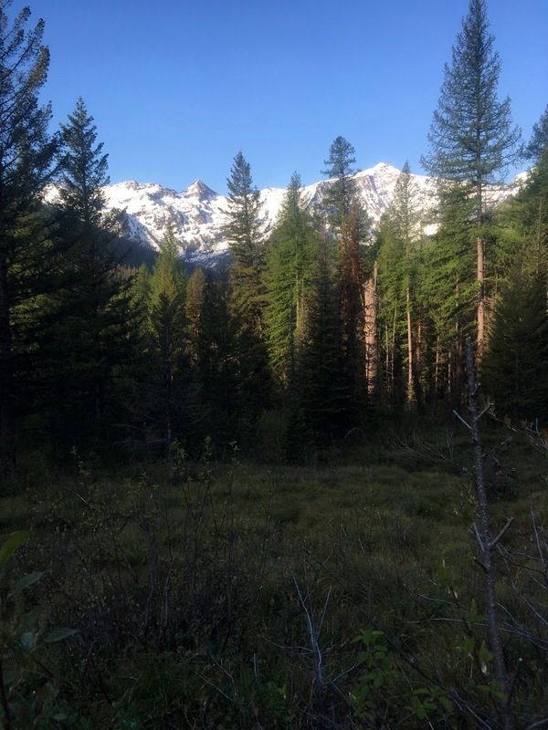
This year I planned a route suited to skis. It wasn’t really an “alpine” route, but rather one that used higher elevation trails likely to be under snow. I hoped some of the long descents would let me cover some quick miles. I also really wanted to get into the “heart” of the Bob – as far as possible from roads – which I consider to be the NF White River. In the past two BMWO’s I’ve seen gravel roads (spotted bear, mid gorge) and these have hindered the wilderness feel. So I really wanted to get into the meat of it.
Below is that route. Note that it uses 4 passes: Washboard Reef, Switchback Pass, Wall Creek and Sunday Mountain – with 3 of those around 8000′. It also front loads those passes, with 3 on the first day.
Day 1 – 39 Miles – NF Teton River to NF White River
My hope for the first day was to get over Washboard Reef, Switchback Pass and Wall Ck Pass before dark (ETA 8pm), so I didn’t have much time for slippage. If I could do that, I thought I might be able to hike all night and finish in the evening on day 2.
Things went as planned for the first 3 miles up Olney Creek, but then I couldn’t find the turn off for the trail over Washboard Reef. The actual problem here is embarrassing to admit on hindsight. On the Cairn maps the good trails are black while the sketchy ones are red/black, so it’s easy to distinguish which trails are likely to be derelict. When I planned this route on CalTopo.com using the USFS layer, I thought it was the same color system, but actually all the trails on there are black. So I had no idea I’d picked a poor trail (and quite a few more for the route).
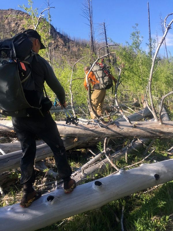
Since I couldn’t find the turn off, I just shot off cross country where the trail should be. I actually did find it a few hundred yards later and it was moderately useful for 30 minutes until the snow started. There wasn’t continuous snow until 7000′ on Washboard Reef, so I only had the skis on the for the last 20 minutes / 800′. The whole reef was heavily corniced except for one small spot near the summit, so I slipped through there and snagged an awesome 1.5 mile or so ski decent. I hummed along on the fast mile I’d done in the Bob.
Unfortunately when the snow ran out, there wasn’t a trail. I criss-crossed where it should be, but looking at the Cairn maps I realized it was a “secondary” trail – and thus potentially didn’t exist. At this moment I had my realization that I’d picked a whole bunch of these trails for my route because of the CalTopo/Cairn discrepancy. Whoops.
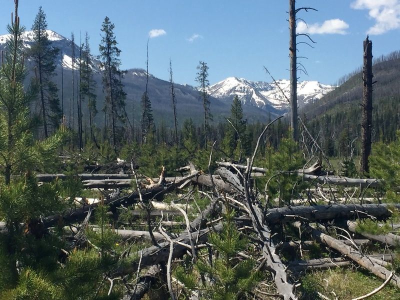
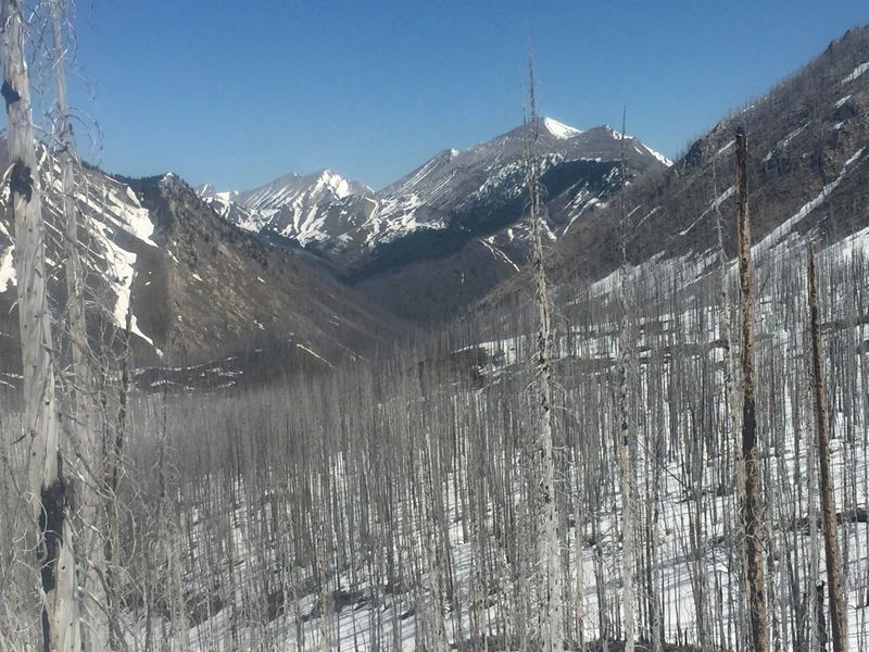
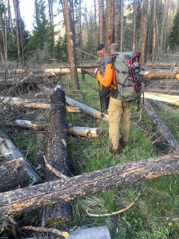
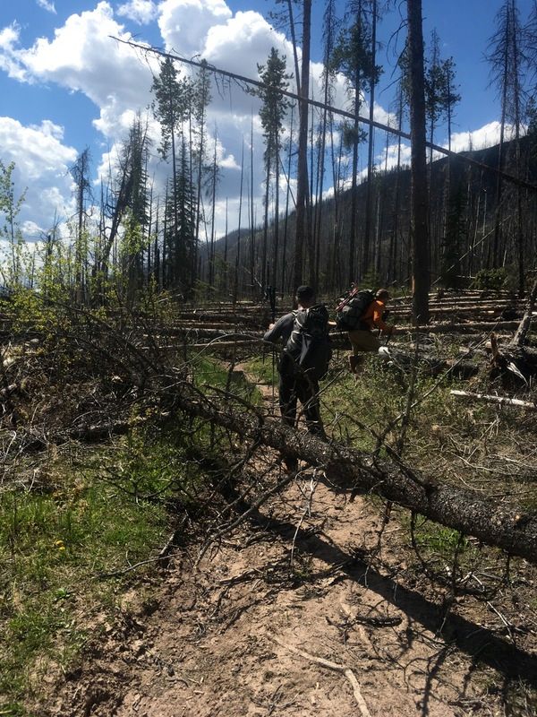
So for the rest of the 6 mile decent down Wrong Creek (aptly named) to the NF Sun River I never found a trail. The valley was burnt and the going was tough. I motored pretty hard, but it was still slow going with all the logs down from the fire so I reached the NF Sun at 1pm – an hour behind schedule.
Around this point, my left knee started to hurt and I realized I’d gone a bit too gung-ho with the log jumping and had inflamed the IT band. Knowing how bad this played out in 2012, I got nervous about the knee, but knew I had a good bail out at the Spotted Bear river.
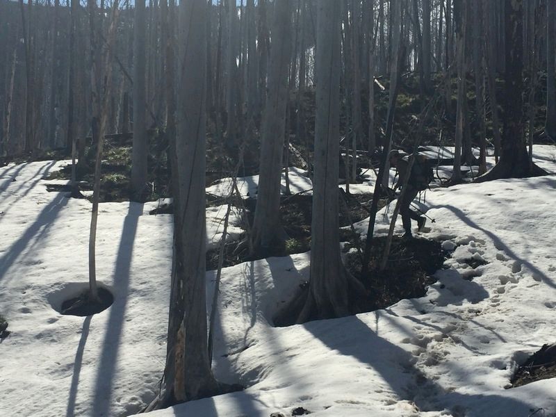
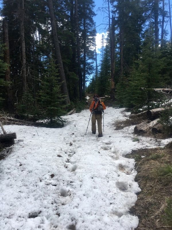
I headed up Open Creek next towards Switchback pass. I was hoping the snow would start soon so I could toss on the skis. It did actually start at 6000′ about 2-3 miles in (of 7.6 miles), but at this point I realized my plan of just picking high elevation trails and hoping to ski them wasn’t great. The skiing works well, but finding the trail gets a bit tricky and yet losing the trail can be quite bad in potentially thick forest. So it was slower than hoped as quite a few times up Open Creek I had to stop and hunt around for the trail.
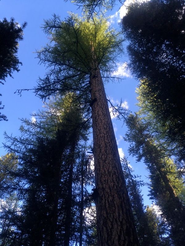
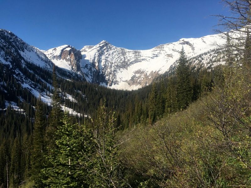
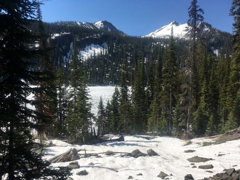
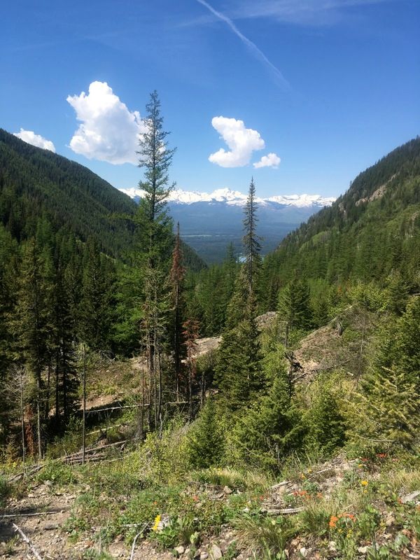
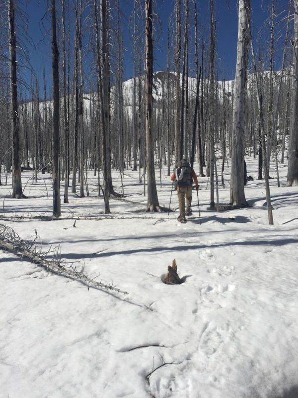
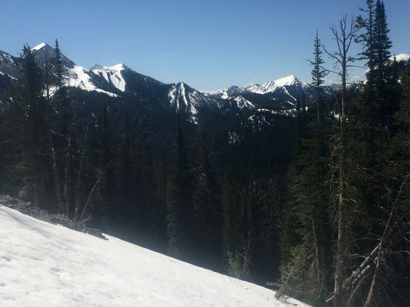
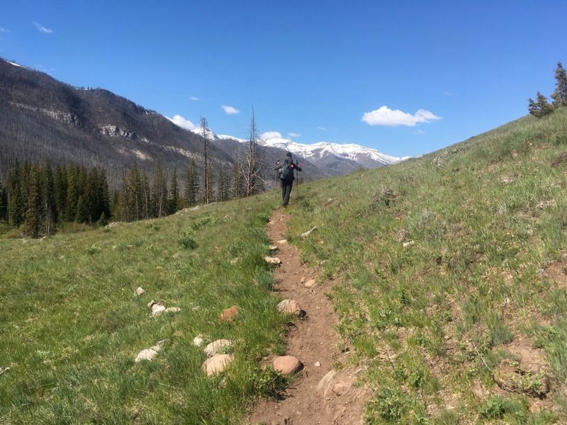
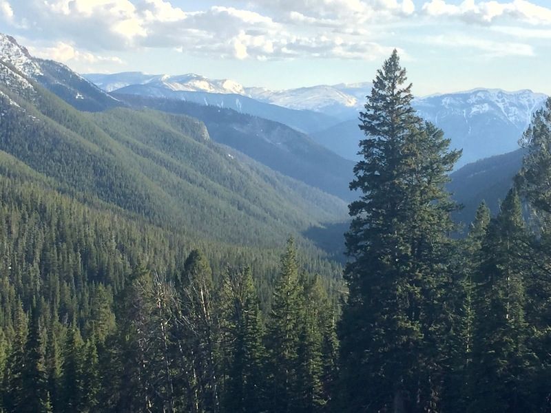
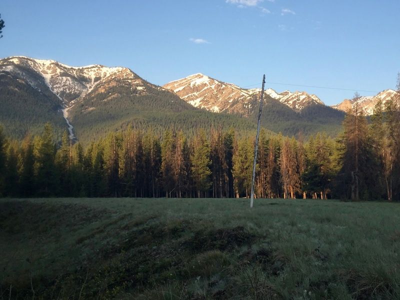
When I got into the alpine of Switchback pass, it was both awesome and extremely hot. The mid afternoon sun blazing off the snowpack had me re-applying the sunscreen and thankful I’d been drinking lots of water. Sweaty. I was slowed by the crippling heat and crested the pass at 5pm – 2hrs behind schedule because of the misadventures in Wrong Creek, trail finding time and the heat. Still, the alpine around Switchback Pass is some of the coolest in the Bob. It was great being up there and probably the only person for miles.
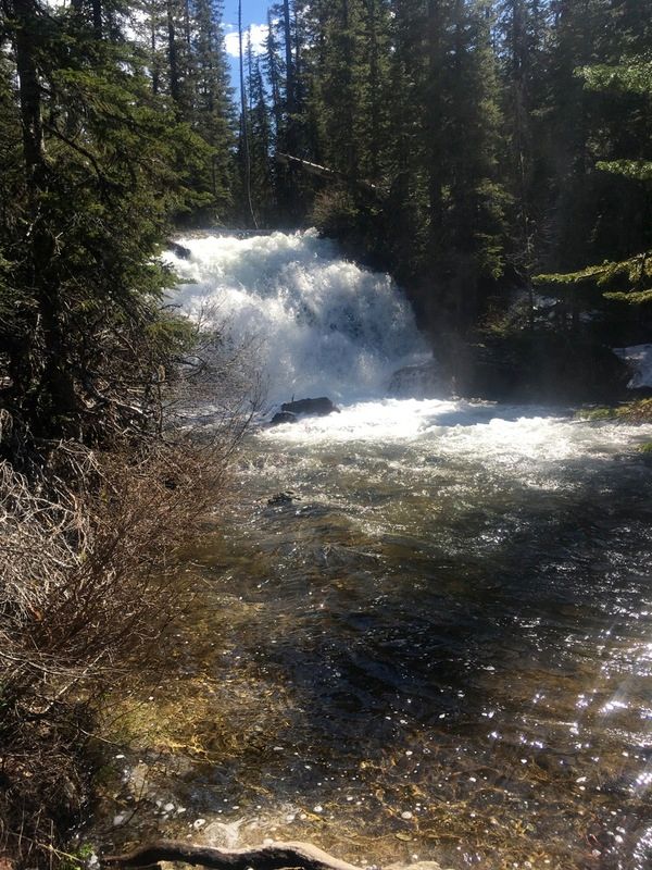
On the backside of the Switchback I cut left and took a short cut into the Hart Lake valley. It looked really good on the map and shaved several miles, but I also knew from Google Earth that the decent looked like it funnelled into a waterfall. I hesitated dropping in, because a 2 minute 1500′ decent might mean an hour’s slog back up. I got to where the valley pinched into a waterfall, took off the skis (with the snow perfectly ending here). I wondered how many unscouted shortcuts like this a man can take before eventually they get burned. Thankfully I was able to solve the bottleneck with about 100′ of 4th class down scrambling to the valley below. I cut cross country to the trail out of Hart Lake and headed for the Spotted Bear.
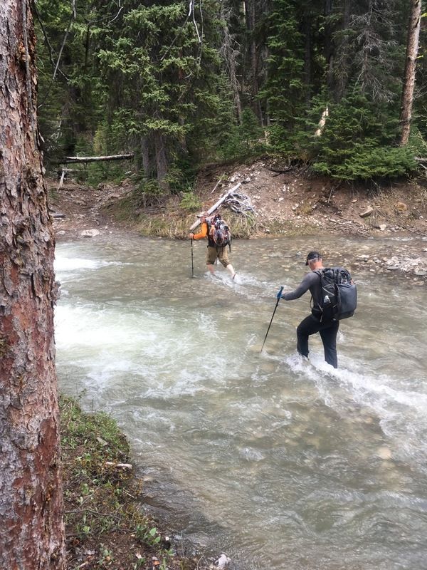
The ford across the Spotted Bear River was – perhaps naively – the section I was most worried about on the route. I forget if Dave said this, or if it popped into my head, but the words going through my mind approaching the Spotted Bear ford was that it was a “not a gimme”.
When I got there it looked deep and fast. I realized it might turn into a swim, so I took my hat off and clipped it to my pack. The river didn’t look great for swimming, with some rapids and bushes again, but I ventured out into the waters. I made slow but steady progress and once across, reckoned that if it was any harder a ford wouldn’t be possible. Later it funny to look back on those thoughts. I also thought of my knee again at this point, as now was really the only good bail option on the route. It hurt, but wasn’t too bad. I popped an Aleve and headed onwards.
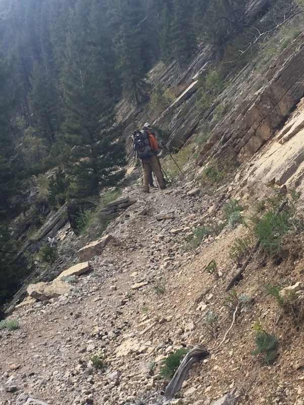
At 7pm I headed up the Wall Creek trail to the pass at 6800′, thinking how low 6800′ sounded after 2 passes around 8000′. I was still 2 hrs behind at this point, so my ETA was now 10pm at the pass. I wasn’t sure how that descent would go. Soon the snow became patchy (5100′) so I figured I’d putting the skis on soon, but it stayed patchy all the way to 6000′, which was slow. At 9:30pm I finally stopped to pull out the headlamp, eat a pepperoni stick and put on the skis. Thus far I wasn’t sure how I was doing with the small food bag, so I just grazed a few items – mini eggs, 2 bite brownies, havarti – when I felt hunger.
I crested Wall Creek Pass at 11pm and was disappointed to find bare soil on the face. I was a little worried snow would be scant, but there was none. I took the 2 mile trail down to Juliet Creek, arriving around midnight.
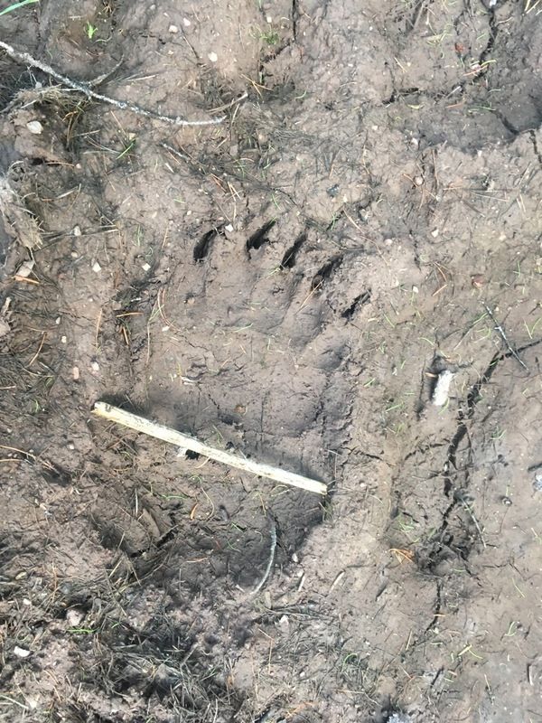
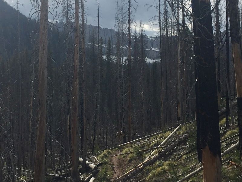
Unfortunately the snow did start in the valley bottom. It was abundant, but firm and patchy, so I kept the skis off and made slow progress as I hunted out the trail. Thankfully some elk and wolf tracks gave away it’s location in many places. I thought of the other group headed for this valley, and that I was probably doing them a big help by putting some nice tracks down the hard to discern route.
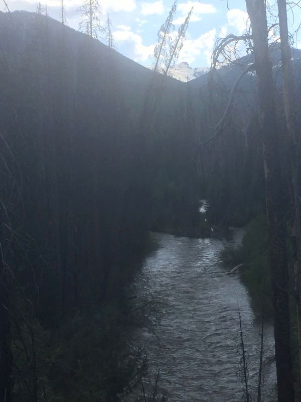
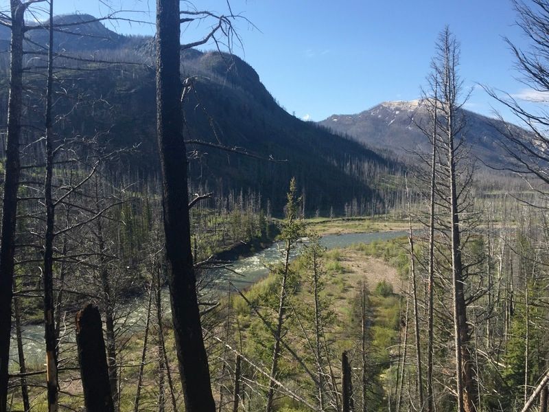
It was dark but starry at 1:30am when I did the first ford of the NF White. In the darkness it was a little terrifying but I could mostly see was I was up against. It looked a little easier than the Spotted Bear, so I went for it. Once I across, I was getting a bit sleepy and realized that the next ford a few miles downstream would be even harder. I didn’t want to do that in the dark, so I hiked 100 yards off trail to avoid any night wildlife and rolled out my sleeping mat. The lack of a shelter was mentally a bit weird, but it looked like a nice night.
Day 2 – 37 Miles – NF White River Babcock Creek
I awoke with the daylight at 5:30 and got ready for the next ford of the White River. My socks and shoes were frozen, so I skipped the frozen socks and kept my sleep socks dry for the next night.
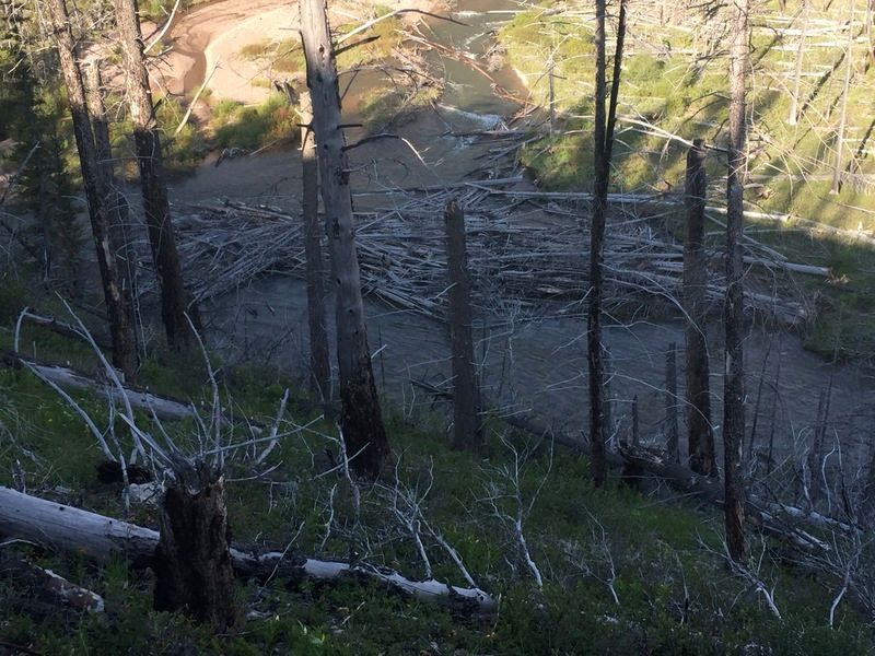
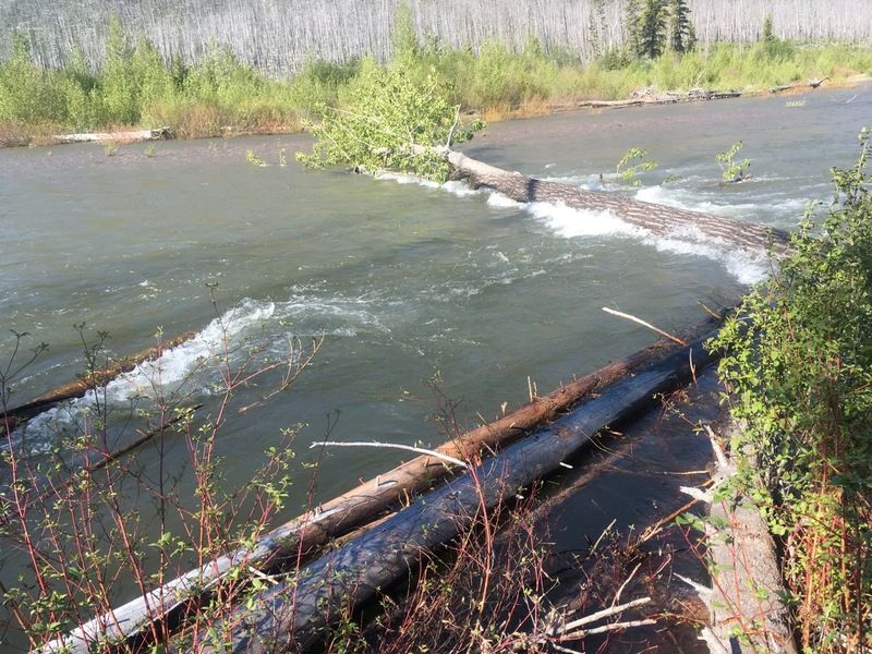
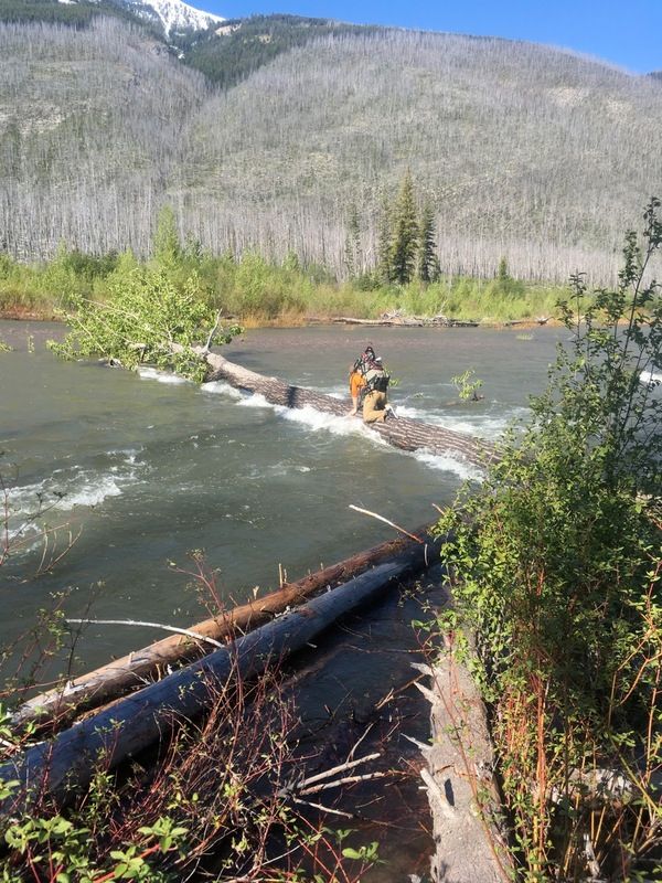
There are a few more fords of the NF White in the next couple miles, which aren’t too bad (perhaps they are just one braid of the river?), but the 4th and final ford is a doozy. The river was humming at the point. It looked at least as hard as the Spotted Bear to me. Again I suited up for a potential swim, and was aware that such a swim would likely take a while because the banks didn’t look overly conducive to being able to crawl out. Like the Spotted Bear, I made it across, but it was hard. You couldn’t ford straight across because it was so pushy – you’d lose a step downstream with each step. But I just made it.
After this, the pressure seems off. After 3 passes on day 1 I just had easy miles today. Zero passes. Just about 40 miles out the White River, up the SF Flathead and up Youngs Ck. Unfortunately the knee definitely hurt more on day 2. At this point I did all the knee stretches I know (just one) and took out my Aleve pills and counted them – 6. Hmm. I was starting to limp so I took one, figuring that working the knee more was better than the assortment of bizarre injuries that show up when you start doing big miles while compensating for something.
A few hours later I was across the South fork of the White, which was a little tricky but much easier. The left knee hurt more. I unavoidably started to limp and thought about how I should have bailed at the Spotted Bear. Exiting there now was a good 35+ miles with several hard fords, so I pressed on.
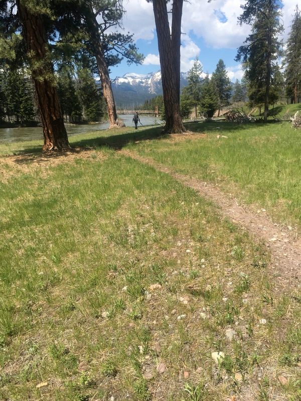
Thankfully when I reached the SF Flathead the knee improved. The river was awesome and huge. Such great country. It was super hot and the ponderosa pines where giving off that delicious vanilla pine scent that they do when it’s hot. Mmmm…. I cruised down to Big Prairie – hustling to make miles and because apparently there are no creeks until Lime Creek at Big Prairie so I was parched.
Ever since I called it a night the first night, I knew a 2 day finish was out. Actually it was already on the rocks when I was 2 hrs late to Switchback pass. So my goal for day 2 was to do enough miles than the final 3rd day felt substantially easier. I crossed the SF Flathead on the bridge, glad to not being swimming the year as the river looked massive.
A couple hours later I reached Gordon Creek. Or at least I reached where Gordon should be. I couldn’t see the creek, I could just see where the SF Flathead exited the valley, presumably after meandering into the valley mouth higher up, joining with the creek, and then exiting as one. I looked harder, thought about it, and realized this was Gordon Creek. I’d never seen Gordon Ck before so I didn’t know what to expect, but I was blown away. I thought of how unimpressed the folks would be that detour 12 miles around the Young’s ford just to find this massive “creek” in their way instead.
On the Spotted Bear and NF White I prepared to swim, but this time I really prepared. I put the trekking poles away – knowing they were likely to be lost – and replaced them with sticks, and did up the roll top tight on my pack. I felt silly for worrying about the Spotted Bear ford. As the only option, I ventured out in the water. It was above the waist and fast. I couldn’t really stand – I had just enough weight and friction to half hold my position in the water column. I was slowly sliding along the river bottom. Losing 3 feet downstream to every foot I made it progress. Thankfully the first 1/3 was the deepest, so I just kept sliding/slipping/moon-walking forward while waving my arms to stay upright. Half way across, I knew I had made it and now realized that what I thought was the upper limit of fording rivers at the Spotted Bear was actually wrong, and the true limit is actually higher – likely here at Gordon Creek, but who knows. That’s the great thing about the BMWO. I never would have thought you could ford a creek like Gordon. Looking at the gauge info, the SF Flathead was ripping at 10500 CFS at the time. Kinda funny how the hardest obstacle on the trip was one I didn’t even worry about before hand.
I did a few more miles up to Young’s Creek as the evening fell. Thinking about my off-trail plan to get over Sunday mountain from the headwaters of Babcock, the words of John rang in my mind. He said it “looked brushy” when he peered into the valley a week early. These words, combined my previously confessed error of thinking this was a good “black” trail, when it was actually a red/black “secondary” one that just degrades to end entirely about 8 miles from the pass, got me quite nervous. I realized the going would be tough, but the bail opportunities were grim because years ago I cut off the lower portion my map which contained any exit routes to the south, so if I headed up Young’s I’d be navigating blind. Turning around meant fording Gordon again, and then big miles over Holland. I wondered if I’d finally got too ambitious with the route. Funny how something that seems clever when sitting behind a keyboard, seems much more scary alone in the woods at dusk.
John’s words that it “looked brushy” rang in my mind all evening, and the trail did indeed degrade. It went into a burn zone with tons of logs down. The rate at which it was degrading had my worried. At 9:30, I had 26 miles left and was tired of log hopping with darkness falling, I pulled over for a sleep. I got 6 hours of sleep (and 2 ticks) from my 2nd night without a shelter.
Day 3 – ~25 Miles – Babcock Creek to Lake Inez
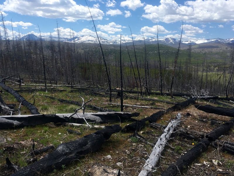
I awoke at 4:30 and headed off, jumping more logs. Thankfully the burn zone ended after a few miles and the sun came out, and I got a bit more optimistic that my foray up Babcock Ck would turn out alright.
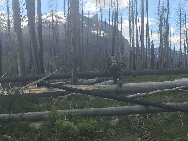
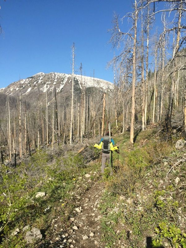
As expected, the trail eventually petered out. And when it did, it was right into a massive section of windfall. It was wild. Probably 1/2 mile where all the trees where down. I crawled, jumped, teetered and crashed for probably an hour. This is also where I lost my camera, as some branch presumably yanked it out of my velcro shut pocket via the wrist strap. I knew it was gone, as there was no way I could re-trace my route though that mess. Thankfully it was an older camera and I’d already purchased it’s replacement.
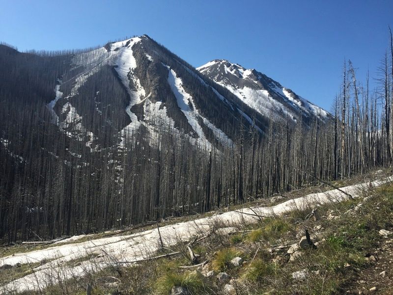
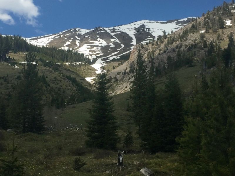
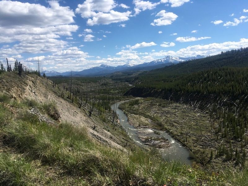
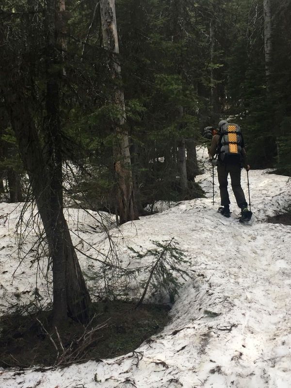
Soon after the windfall mess, I started gaining vertical up the north wall of Babcock to avoid cliffs at the valley head. I climbed from 6000′ to 7000′ and the forest opened. It was sunny, gorgeous, good travel and I was so relieved that I wasn’t going to spend the rest of my days swimming through trees in Babcock with about 300 calories in the food bag. I tossed the skis on at 7000′. So good. I cruised through the sparse sub-alpine, loving it. I dipped through a bunch of bowls, eyed my pass just south of Sunday mountain and hoped it was snowy on the back. I can ski a 40-50 degree slope, but I didn’t want to scramble down one.
At this point I looked back down Babcock valley and Young’s. Incredible. You can see maybe 20 miles to the South Fork and it’s wild to think I’d walked all that. I wish I had a picture to share. I crested the ridge – the pressure off – and found continuous snow down the ridge. I cranked it out in no time on the skis with just a 10 mile walk between me and the finish. It was 1pm.
Well Starbucks is closing, so I gotta go. The last 10 miles sucked. My blister count went from 2 to 8, but I made it. Today I’m sore. I didn’t touch on the knee thing too much on the last day, but I went through the last of the Aleve supply to walk normally that day.


 he made it to the gravel, a short, but deep ford and he was across the South Fork- amazing!