Gaia GPS
A Walk from Crested Butte
Drew Smith writes about using public transit to make the travel to, from, and between trailheads more sustainable.
DetailsHow to use Gaia GPS to Find Hidden Backcountry Routes
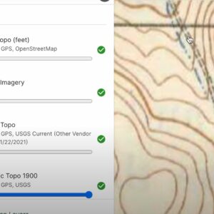
Learn Ryan Jordan’s process for discovering hidden backcountry routes by integrating current base maps, satellite imagery layers, and historical USGS maps.
DetailsHow to Use Gaia GPS Slope Angle Overlays & Satellite Imagery to Plan Off-Trail Routes
In this video, I walk through how I use slope angle overlays and satellite imagery to plan off-trail mountaineering routes, focusing on Gaia GPS as the digital mapping software.
DetailsRoute Planning Tools & Processes (Member Q&A)
Planning a route for wilderness backpacking trips in remote environments can be complicated. In this webinar, learn about route planning tools and processes that simplify planning and help you plan safe, comfortable trips in the backcountry.
DetailsGaia GPS App
Our pick for the best online trip planning, mapping, and navigation service. It offers a terrific smartphone app that can be used in the field to access maps and track…
DetailsJoin Our Community
Become a Backpacking Light Member
Forum Access
Unrestricted access to all forums, plus the ability to post and start new threads.
Premium Content
Unrestricted access to all 2,300+ articles, gear reviews, skills, stories, and more.
Community Posts
Post new content to the community including gear swaps, reviews, trip reports and more!
Online Education
Get unlimited access to all our online education (*Unlimited membership required).
Pack less. Be more. Become a member today!


