Introduction
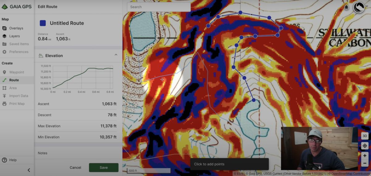
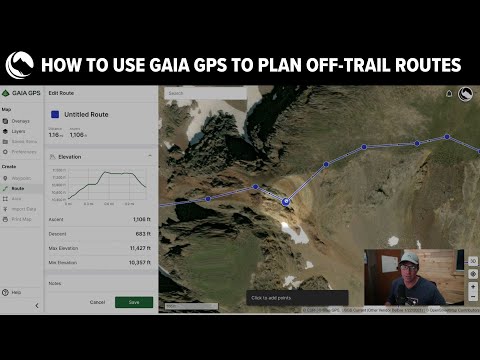
In this video, I walk through how I use slope angle overlays and satellite imagery to plan off-trail mountaineering routes. For the purpose of this demonstration, I’m using Gaia GPS, but the technique can be used with any mapping software that includes both slope angle overlays and aerial imagery map layers.
Backpacking Light Members: Enjoy a discount off your first year of a Premium Subscription to Gaia GPS!
Watch the Video
Overview of the Process
This is a summary of my process for using slope angle overlays and satellite imagery to plan off-trail mountaineering routes:
- Draw possible routes between Point A and Point B using “paths of least resistance” using slope angle layers. Pay attention to routes less than 25 degrees in steepness to minimize scrambling and excessive exposure.
- Turn on the satellite map layer and change the route points you created in Step 1 to avoid cliff bands, rock scrambles, steep snow, and other terrain that you may not be comfortable with.
- Compare your route options in terms of distance and elevation gain (use the elevation profile feature). Evaluate the crux (most difficult) sections of each route. Evaluate the terrain of each route (e.g., tundra, talus, scree, bushwhacking). Pick the route that best meets your objectives – scenery, path of least resistance, etc.
Learn More about Gaia GPS
- Master the use of Gaia GPS for planning, navigation, and tracking in our new How to Use Gaia GPS Masterclass.
- Or see our entire online course offering and learn more about trek planning, satellite communications, backcountry food planning, and more.
What’s Your Process?
I’m always curious about how other backcountry adventurers plan off-trail routes with digital mapping software. Please share your process with me in the forums below!
DISCLOSURE (Updated April 9, 2024)
- Backpacking Light does not accept compensation or donated/discounted products in exchange for product mentions or placements in editorial coverage. Some (but not all) of the links in this review may be affiliate links. If you click on one of these links and visit one of our affiliate partners (usually a retailer site), and subsequently place an order with that retailer, we receive a commission on your entire order, which varies between 3% and 15% of the purchase price. Affiliate commissions represent less than 15% of Backpacking Light's gross revenue. More than 70% of our revenue comes from Membership Fees. So if you'd really like to support our work, don't buy gear you don't need - support our consumer advocacy work and become a Member instead. Learn more about affiliate commissions, influencer marketing, and our consumer advocacy work by reading our article Stop wasting money on gear.

Discussion
Become a member to post in the forums.
Companion forum thread to: How to Use Gaia GPS Slope Angle Overlays & Satellite Imagery to Plan Off-Trail Routes
In this video, I walk through how I use slope angle overlays and satellite imagery to plan off-trail mountaineering routes, focusing on Gaia GPS as the digital mapping software.
For the back country hunters out there using OnX, they have a slope angle layer too filed under the land access category.
CalTopo also has a slope angle overlay and satellite imagery. The web page version has hi-res Google Earth imagery.
Become a member to post in the forums.