Introduction
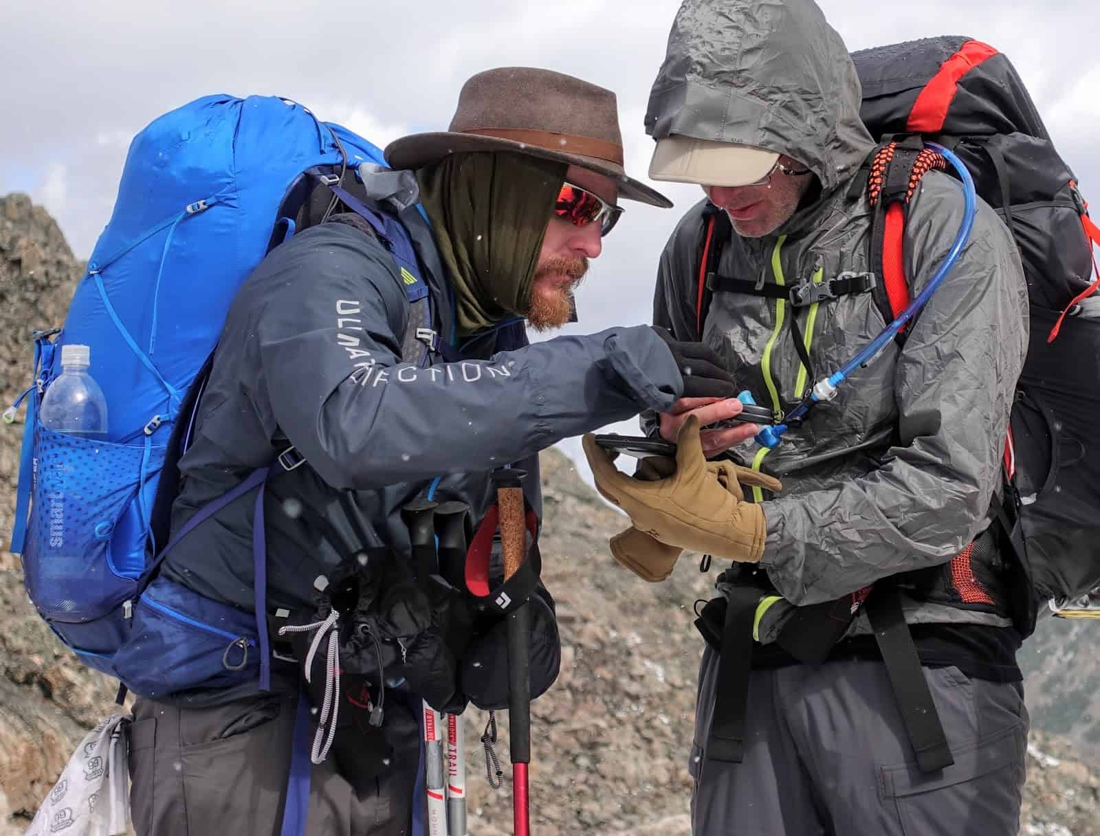
With the rise of the smartphone within the last decade there has been a corresponding rise in navigation apps. As the hardware has become more durable with longer battery life, as well as the growing affordability in solar powered chargers and battery banks, the use of a smartphone as navigation in the field has become much more practical than it has been in the past.
Category Description
For the purposes of this review, I will be looking at apps that can be found on both iOS and Android platforms. There may be some good apps that are excluded because they can only be found through one or the other but for this article, we are taking an ‘all or nothing’ approach.
Many of these apps are free but require a membership or in-app purchase in order to get the most out of the app. The apps being reviewed will include:
- All Trails
- Gaia
- Google Maps Offline
- Guthooks
- Outdoor Active
- Rambler
- REI – National Parks
- Spyglass
- Viewranger
- Yonder
This list is not comprehensive! New apps are being developed and introduced all the time. In addition, this list doesn’t include some apps that have been around for awhile (like Topo GPS) because I don’t have personal experience with them.
Feature Summary
In this review, I will be looking at what are the most important criteria for a navigation app. These features include:
- Downloadable Maps
- GPS Navigation
- Ability to Import and Export a GPX Track
- Route and Waypoint Creation
- Speed and Distance Tracker
- Altimeter
Criteria for Evaluation
Downloadable Maps
For those who plan on taking a longer hike and might not want the added weight of a battery bank or those who prefer a good old fashioned printable map, this feature is key. Being able to plan a route in the comfort of your home office and then transfer it to your phone or print it out gives more options for how to navigate during the trek.
GPS Navigation
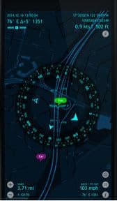
With modern cell coverage, it’s hard to find places without coverage within 50 miles of a freeway or 100 miles of a town. Even so, many of the canyons we get into or the mountains that we climb will not have any signal. This means that an app that uses your phones GPS function is far more useful than one that doesn’t.
The Ability to Import and Export a GPX Track
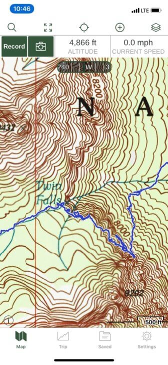
The GPX file standard has been around since 2004 and has become a vital part of every GPS unit since. GPX records your longitude and latitude in decimal degrees while elevation is recorded in meters or feet. Depending on what you are using GPX to monitor, it may be important to note that times are not recorded in local time but in Coordinated Universal Time (UTC). Simply put, this is the system that allows you to mark waypoints and share them across multiple platforms and devices. This is crucial when marking a point for a group with some members using a dedicated GPS device like the Garmin inReach Mini while others are using an app on their phone and others using printed maps.
Routes and Waypoints
When planning a short hike or a longer trek, using an established trail or bushwacking from point to point, it’s nice to know where you’re going, how you are going to get there and what points of interest are along the way. If you’re venturing into new territory, it’s nice to know where a water source can be found or where a nice camp spot might be. It can also be nice to know what hazards can be found and where they can be found along a given route. This is where routes and waypoints come in. Will an app allow you to mark a waypoint with a detailed description? Can a photo be attached to a waypoint? Will waypoints and routes automatically coordinate or are extra steps needed?
Speed/Distance Tracker
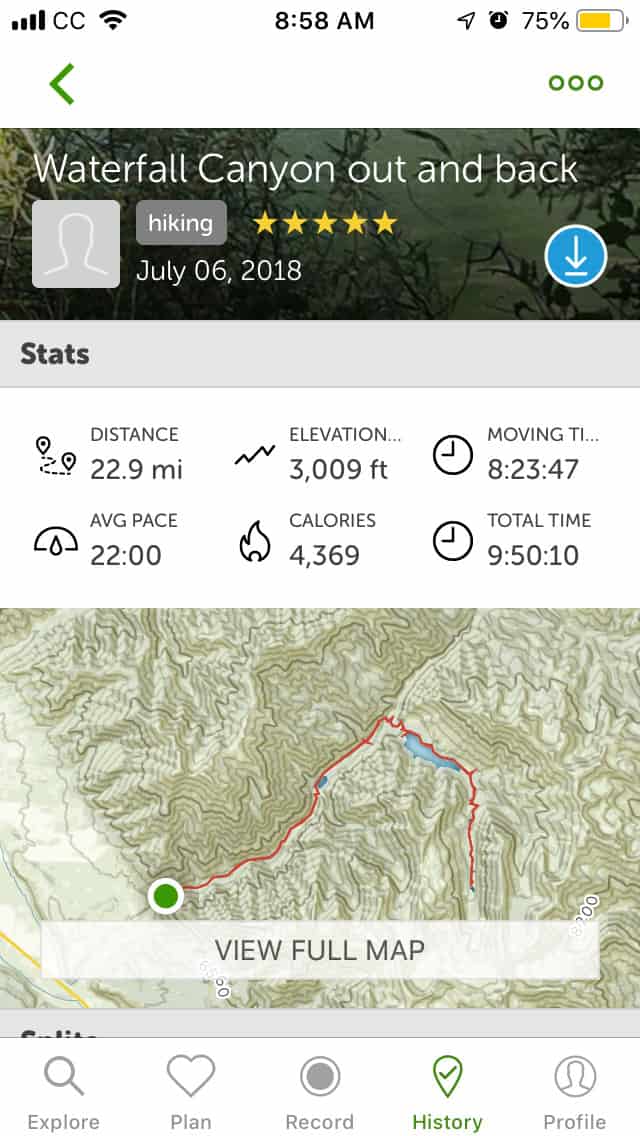
If you are doing any kind of training then this is crucial. For those of us who want a minimal amount of multifunctional gear, a navigation app that can also record speed and distance is vital. This function can also be used to predict how long it will take to get from waypoint to waypoint or how long it should take the fastest or slowest members of your group to get from point to point. A good speed and distance tracker can help you know if you need to pick up the pace or if you can take a few more pictures along the way.
Altimeter
Knowing your elevation can tell you everything from why you can’t seem to catch your breath to how much fuel to bring on a hike. Being able to easily access an accurate altitude reading can be a vital tool in staying safe while summiting a mountain while tracking elevation gain or loss is crucial for performance tracking as well as monitoring for altitude sickness.
Comparison
Scroll Right to See All Table Contents
| Downloadable Map | GPS Navigation | Compass | Import/Export GPX Trax | Routes and Waypoints | Speed Tracker | Distance Tracker | Elevation Tracker | Altimeter | Cost | |
|---|---|---|---|---|---|---|---|---|---|---|
| AllTrails | Yes | Yes | Yes | Yes | Yes | Yes | Yes | Yes | Yes | Free - $29.99 |
| Gaia | Yes | Yes | Yes | Yes | Yes | Yes | Yes | Yes | Yes | Free - $19.99 |
| Google Maps Offline | Yes | Yes | No | No | No | No | No | No | No | Free |
| Guthooks | Yes | Yes | No | No | Yes | No | No | No | No | Varies |
| Hiking Project | Yes | Yes | No | Yes | Yes | No | No | No | No | Free |
| MapMyHike | No | No | No | No | No | Yes | Yes | Yes | No | Free - $29.99 |
| Outdoor Active | Yes | Yes | Yes | Yes | Yes | Yes | Yes | Yes | Yes | Free - $8.99 |
| Ramblr | Yes | Yes | No | Yes | Yes | Yes | Yes | Yes | Yes | Free - $10.00 |
| REI - National Parks | No | Yes | Yes | No | No | No | No | No | Yes | Free |
| Spyglass | No | Yes | Yes | No | Yes | Yes | Yes | Yes | Yes | 5.99 |
| ViewRanger | Yes | Yes | Yes | Yes | Yes | Yes | Yes | Yes | No | Free - Varies |
All Trails
AllTrails allows you to record routes then access the statistics and map all in one easy to read screen. Expanding the map is as easy as a touch!
This app contains hiking, biking and running trails all around the world. All Trails boasts 50,000 trail maps as well as reviews and photos regularly updated by its millions of users. This allows dog lovers, hardcore hikers, mountain bikers, and other users to give local and valuable recommendations for everything from city park walking trails to the Continental Divide Trail and everything in between.
- With an annual membership, you can download and print customized maps. There is also a real-time satellite weather tracker. Map layer options include topo, terrain, open street maps and more.
- Without the annual subscription, you can still record and track data during hikes. This allows you to follow the adventurers who inspire you while also saving your favorite trails to challenge yourself. This feature is great for anyone interested in Fastest Known Time or Fastest Personal Time. Lastly, without a membership, your map will still show topo data during your hike.

All Trails is a powerhouse app that integrates trail reviews and beta – a benefit for some users, the added clutter may get in the way of others looking for a cleaner navigation experience. Although the interface is not as elegant as Gaia, All Trails is a strong competitor in this market and has all of the features required for a positive navigation experience. It earns our Recommended Review Rating (read more about our ratings here).
Gaia
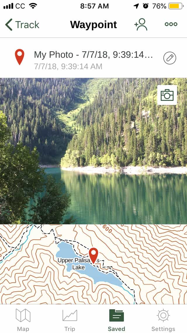
One particularly nice feature of Gaia is the ability to assign pictures as waypoints. This allowed my Brother-in-law to follow the route that I took and use a better camera to take higher quality pictures.
Gaia has been showcased in several publications including the New York Times and Outside Magazine. This app is designed to give hunters, hikers, offroaders, backcountry skiers, mountain bikers and professional guides a one-stop solution to their mapping needs.
- At the free membership level a user can research a worldwide catalog of maps but downloading for offline use is unavailable. You do still have the option of tracking vital stats such as speed, distance and, elevation and you can also record trips, add waypoints with notes and photos and share them across devices with friends and group members.
- At the “Member” level you gain access to downloadable maps including topo, road, and satellite map layers. You also keep all of the vital features of the free membership that make this app so practical in the backcountry.
- By upgrading the “Premium” membership you gain access to the following additional map sources for download:
- National Geographic Trails Illustrated
- US Hunting Maps
- IGN European Maps
- Neotreks Premium Land Use Maps
- Land Management, Elevation Shading, and Slope Analysis Overlays
 Gaia’s feature set, highly customizable display, powerful interface, frequent app updates, map layers, ease of use, and outstanding desktop/tablet trip planning features earns this app our Highly Recommended Review Rating (read more about our ratings here).
Google Maps Offline
All the familiarity of one of the most widely recognized mapping tools around the world. Although much can be said for this app, in the context of a navigation app for hikers the big draw is being able to record directions to a trailhead and even take a detailed photo of the area around a destination.
This app doesn’t support waypoints or any of the tracking functions of the other GPS apps on this list.
Guthook Guides: Hike Offline
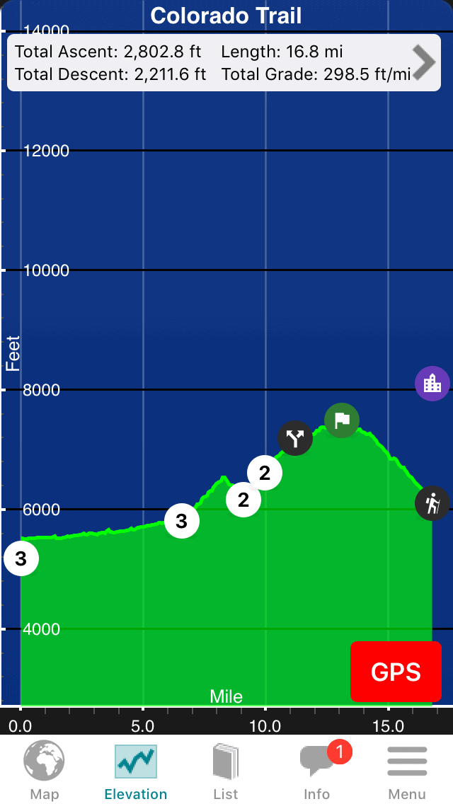
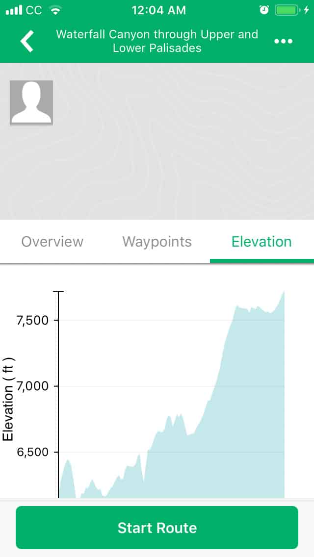
Guthook’s app shows its elevation profiles complete with waypoints, which makes planning and navigating easier.
A great app for set trails, Guthook allows you to find waypoints including camping spots, water sources, and great data for the towns that you’ll pass through on longer hikes. Users are able to update current conditions on any of these waypoints but are unable to set waypoints of their own. The elevation profile can tell you where you are along a trail and the distance to the nearest waypoint. Unfortunately, it doesn’t allow you to track your personal data. Importing and exporting GPX are also unavailable.
Map My Hike
MapMyHike’s primary screen demonstrate that it’s niche market is the fitness market, showing important workout statistics but no navigation tools.
More of a fitness tracker than a Navigation App, Map My Hike is developed by Under Armor and will give you all the data you need to optimize your performance including community challenges to help you stay motivated. It can be connected to other apps and wearables including the various Garmin and Fitbit models.
Outdoor Active
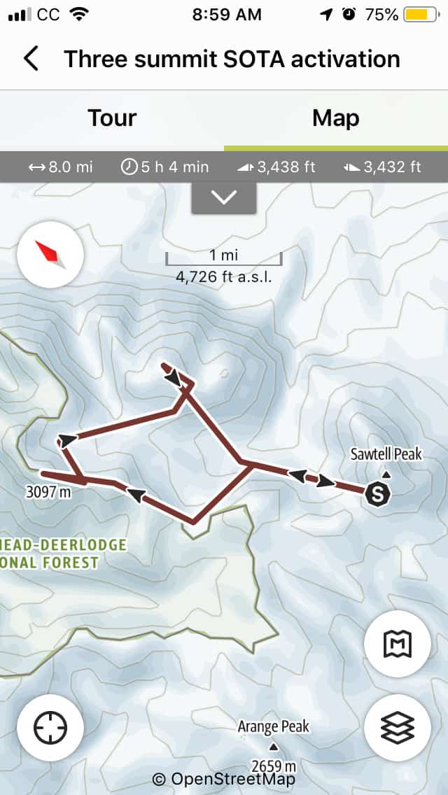
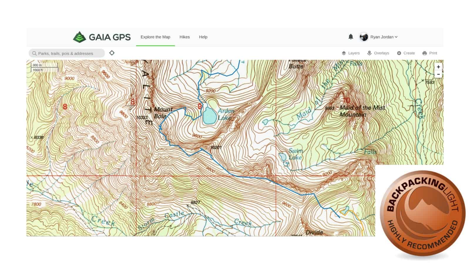
Outdoor Active’s ability to plan out a route on a desktop then seamlessly access it on your phone makes it especially nice.
Outdoor Active is designed specifically for hiking, cycling, and mountaineering. This app allows a user to plan out trips of any kind using the desktop site or the app independently or in unison. This makes sharing with friends one of the easiest parts of the planning process. In addition to the tracking and mapping features that we expect in a navigation app there are also some considerate safety features. These include an emergency call option as well as up to date weather conditions.
Ramblr

Because of the social media lean to Ramblr exploring routes from around the world is only a fingertip away.
Rambler is designed with sharing trips across social media in mind. It allows you to plan trips, track all of your vital statistics. You can also plot waypoints and attach photos as well as videos. You can also download maps based on Apple and Google map data for offline use. All of this is integrated with Facebook and Twitter to seamlessly and effortlessly share your treks across a wide range of groups and friends.
REI – National Parks
Using the same program as HikingProject, each National Park has trails and destination gems that can be sorted by activity, and difficulty.
This app contains complete trail data for many of the most popular National Parks. You can search for hikes in each park using a map display. Each park also has a “best of” list to search for hikes. Hikes can be sorted by difficulty rating, star rating, or elevation profiles. There is also community input giving insights into camping, guided tours, and best seasons to go.
REI – National Parks also comes with a real-time GPS tracker that includes an elevation profile on a terrain or satellite map. In the case of an emergency, you can also send your coordinates to rescuers.
If you want a printable map, the app can link you to nps.gov where they have a small selection to choose from.
Spyglass
Spyglass functions as a hi-tech compass that includes a sun/moon/star finder, rangefinder, sextant, inclinometer, and angular calculator in addition to the expected GPS tracker, speedometer, altimeter, and waypoint tracker.
All of the operations work in 3D with augmented reality. This allows you to track stars on a cloudy night or overlay directions and info over the camera or a printed map.
Viewranger
The overall interface is a step below its competitors – I would describe the map and elevation profile as clunky – but in the overview tab industry standard statistics are presented in an easy to interpret way.
Viewranger gives you the option of downloading maps for offline use but it uses a credit system per map or you can download bundles for a higher price. With that little caveat, you can browse maps and routes posted by some pretty credible sources such as the trekkers at Backpacker Magazine.
Like many of the other navigation apps, you can track location (which can be shared privately in real time with select friends), speed, and distance. What sets this app apart from the others is the ability to use your phone’s camera to show peak names, trails, and waypoints with the Skyview function.
Product Performance Considerations
Planning
One of the key features to consider with a navigation app is planning. The two key features for planning are the ability to import/export GPX and download maps for offline use. If you can’t plot points at home to be used in the field in offline mode then maybe you can download someone else’s route and piggyback off of their adventure. If an app won’t let you do either then it probably isn’t worth much as a navigation app.
Import/Export GPX
Alltrails, Gaia, Outdoor Active, Ramblr and Viewfinder do well in this category. Outdoor Active unfortunately has a tendency to crash when adding a photo waypoint while recording a route. Google Maps Offline has the ability to download maps for offline use but they are meant for street-level views not trail level use.
On the export end of things, it is nice to keep a record of where you’ve been for personal records or to show your friends how cool you are. Alltrails, Gaia, Outdoor Active, Rambler and Viewfinder are strong in this category as well, although they all require you to purchase an upgraded membership or pay per download.
Downloadable Map
In one way or another, all of these apps give you the chance to download maps. The feature works especially well with All Trails and Gaia who allow you to plot a trail with waypoints on your desktop and easily move them to your phone. Guthook also does well with an easily downloadable map but doesn’t give you the option of adding your own waypoints.
Tracking
It’s easy to say that you’ve been there and done that but it’s entirely different to have accurate statistics to back up your claims. It’s also nice to be able to track performance and improvement or to know that the next waterhole, campsite or summit is a specific distance away. For this, you need to accurately know your position along a route to track your speed and elevation along with distance traveled and distance to the next point.
Speed/Distance
Almost all of the apps do well in this category or they don’t track this data at all. I was able to communicate with the developers at Guthook and they are working to integrate a speed tracker in future updates.
Elevation
A tricky point is whether or not an app actually tracks your elevation or just gives an elevation profile of your route. In general, if an app will track your elevation then it will also give you an elevation profile. Conversely, just because an app gives an elevation profile doesn’t mean that your ascent or descent has been tracked. Anyone with basic math skills can work around this but for those who don’t want to do the math at the end of a long day the tracking feature is important.
Commentary and Recommendations
If you’re looking for a good all-around app for navigation purposes then All Trails and Gaia are the two to choose from. They both have easy to navigate planning and tracking features and are easy to share across platforms and devices. Gaia has an especially customizable readout that will allow you to see the information that is most important to you and not worry about the other stuff.
Gaia’s feature set, highly customizable display, powerful interface, frequent app updates, map layers, ease of use, and outstanding desktop/tablet trip planning features earns this app our Highly Recommended Review Rating.
If you are looking to do something more specific like a National Park or the Continental Divide Trail then you may want to go with Guthook or REI National Parks. Guthook is especially nice for hikers who are shy on experience in the backcountry and may need the frequently updated information that Guthook provides.
For those that are more interested in using an established social media site to share your exploits then Ramblr is for you. It has all of the tracking features with an emphasis on syncing with your social media accounts.
If you’re most interested in fitness and tracking health improvements, Map My Hike is made by Under Armour and will sync with everything from your GPS enabled shoes to your watch while Viewranger will sync with your phones health tracker app.
Related Content
- More gear info? How about our little Gear Guide about backcountry electronics that takes a look at navigation tools in more depth.
- If you want to improve your navigation skills, here is an article about navigating without map, compass, or technology.
- Check out our recent skills “short course” about how to plan off-trail routes using digital navigation tools.
- A forum thread to read for those initially opposed to futuristic, high-tech gear that compares various Garmin handheld GPS models to use of an iPhone.
Product Review Disclosure
- How we acquired these products: Product(s) discussed in this review were either acquired by the author from a retailer or otherwise provided by the manufacturer at a discount/donation with no obligation to provide media coverage or a product review to the manufacturer(s).
- We do not accept money or in-kind compensation for guaranteed media coverage: Backpacking Light does not accept compensation or donated product in exchange for guaranteed media placement or product review coverage.
- Affiliate links: Some (but not all) of the links in this review may be “affiliate” links, which means if you click on a link to one of our affiliate partners (usually a retailer site), and subsequently make a purchase with that retailer, we receive a small commission. This helps us fund our editorial projects, podcasts, instructional webinars, and more, and we appreciate it a lot! Thank you for supporting Backpacking Light!

Discussion
Become a member to post in the forums.
Companion forum thread to: Navigation & GPS App Reviews & Gear Guide
This Gear Guide features GPS App Reviews, including AllTrails, Gaia, Google Maps Offline, Guthooks, Hiking Project, MapMyHike, Outdoor Active, Ramblr, REI – National Parks, Spyglass, and ViewRanger.
I’ll put in a plug for FATMAP, whose 3D feature has been valuable in whiteout conditions while ski touring. The hi-res has been useful for precise route finding. Gaia is my day in, day out app for guiding, with FATMAP and apps like Trip Guide (Road Trip Ryan, Southwest canyoneering areas) and American Whitewater’s app for trip specific beta.
IOS users may also want to look at Topo Maps Plus. You can download lower resolution maps in the base (free) mode. Recording tracks and compass are included in the base mode, planning and access to better maps is available for a fee. I have used the base application on trips for the last year and a half, while using sites like caltopo for planning and map printout.
With all the love here for the Garmin Inreach kinda surprised not to see Garmin Basecamp included. Did learn of some others I never heard of.
In the comparison chart, it would have been convenient if a $$$ column was considered.
$$$$ is all the way to the right Jim.
Ahhh, scroll bar at the bottom of chart. Thanks Ken
I suggest you look at “OSM And Plus”. Maps are all vector based and derived from Open.Street Maps. You can download a whole country at once. Contours, hills shading are also downloadable. Maps are all updated regularly. $10 per year subscription. Imports GPX, saves way points etc. http://osmand.net
I’m surprised that you’re so dismissive of ViewRanger. Here in Europe it’s well liked despite its UI quirks and is pretty much the standard for SAR teams.
A key issue that you rather skated over is the availability of mapping. Outside of North America Gaia is very weak – nothing for the UK, France, Germany, Italy, Switzerland or Sweden, for example. ViewRanger offers access to good mapping for 23 countries, including the US and Canada.
In the UK they offer the full range from both the OS and Harvey, which makes it the standard app here.
Mapping subs are reasonable, especially compared to Garmin, which offers a more limited choice at higher cost.
Curious why Backcountry Navigator was not reviewed.
I downloaded it because I read reviews indicating that while GAIA is great on I/OS, on Android BN has worked better for some.
Elizabeth
Hi everybody, it’s nice to see so much interest in GPS apps!
Thanks for all of the recommendations for apps that I missed. In choosing apps to only review apps that worked on iOS and Android phones. With that in mind, apps like BaseCamp were excluded because it’s a desktop app. Other apps were excluded because they were for iOS or Android but not both such as Backcountry Navigator.
One of the nice things about most of these apps is that you can import or export GPX to other devices such as a Garmin inReach.
I liked a lot about ViewRanger, but Outdoor Active seemed to beat it in every category for international use. I would probably use one of those in I was outside of North America.
David
Thanks for responding, but I can’t see how Outdoor Active is in any way comparable to ViewRanger in terms of international coverage.
The OA site is pretty coy about what they offer, but so far as I can tell the Pro sub only gives you Germany, Austria and Northern Italy in addition to their base mapping, which is little better than Gaia.
ViewRanger offers quality mapping for:
Australia
Austria
Belgium
Canada
Czech Republic
Denmark
Finland
France
Germany
Great Britain
Greece
Italy
Netherlands
New Zealand
Northern Ireland
Norway
Republic of Ireland
Slovakia
Slovenia
Spain, Canaries, Madeira
Sweden
Switzerland
USA
For many of these countries they offer multiple sources, such as the OS and Harvey in the UK.
A smoother interface is pretty academic if there are no maps available for your area of interest. ViewRanger seems to knock the others out of the park for coverage.
If there’s a better app that gives similar coverage I’d love to hear about it. But failing that, I can’t see any alternative to ViewRanger for globetrotting hikers. And given that it’s used by literally hundreds of SAR teams, it’s clearly perfectly usable once you master its quirks.
I use “Maps 3D”. very comparable and comprehensive feature set.
I agree with way above Topo needs mention and I use often in conjunction with Gaia.
– points I’d like to know more about:
1) power consumption between Gaia and all trails bc even if it’s slightly worse I’ll always go with the more efficient app that doesn’t drain the phone.
2) Gaia tends to have very low quality / low pixel density print outs once you try to print. Has anyone found a way around this?
I never tried comparing power consumption, partly because I often listen to audio books while I hike and partly because nothing beats a compass for low power use. Both Gaia and AllTrails (and most of the others) work using your phones GPS so switching your phone to airplane mode can help extend battery life.
I do for sure use airplane mode
– another concept for weight savings I brought up in a different blog: in reach mini + iPod. This Is much less weight then an iPhone these days (like 4 oz savings). I’m still looking for someone that has an iPod touch and a mini to give it a shot. I would be a nice report on usability given the weight savings.
Cons would be smaller screen, smaller battery (though maybe less life given smaller screen drain on battery). There’s no gps so you wouldn’t be able to use gaia and would be locked into Garmin app. Those you could just use gps coordinates to way find on the gaia app.
I have used smartphone nav apps extensively and my experience points to 3 top apps for nav.
-Locus Maps
-Gaia
-Oruxmaps
I have found that these are the most comparable to a standalone gps unit. I know that only Gaia is offered on both Android and iOS. iOS vs Android has been debated many places, and many have their bias. Objectively, iOS has 2 major drawbacks: Cost and lack of maps for certain areas. Locus and Oruxmaps have the ability to use free maps from OpenAndroMaps.org and any other online source you want. This is HUGE for those exploring areas without developed trails/maps. Areas such as the Indian Himalaya have few maps options, yet OpenAndroMaps does have country maps and the Android apps Orux and Locus maps can use maps from many sources including google, microsoft, etc in offline, downloaded format.
iOS is quite poplar, and I understand the desire to only review options that are available on both platforms. however, I do think that many would find Locus and Orux maps very useful.
I use an android phone for outdoor nav despite having Apple products for other areas of life.
I have been trying to figure out the best navigation and tracking tools and I am very frustrated by their poor utility. Gaia seems great but will drain a big phone battery in a few hours and I can’t figure out how to change to a conservative mode (and I’m in tech)
All Trails seems to be public for all to see your photos and notes. So I don’t want to use it. It also sucks batteries dry quickly.
I’m disappointed that these key parts of the apps are not addressed in the review, making it basically worthless to users.
Become a member to post in the forums.