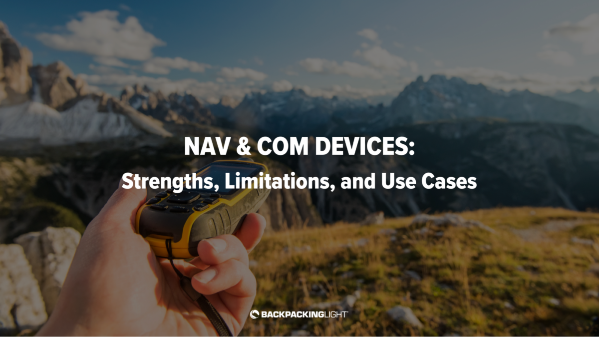
In this video, I will cover various types of navigation and communications devices, their benefits and limitations, and use case scenarios where you might use one or a combination of multiple devices.
About this Video Series
This video is a recording of a previous Member Q&A Live Stream. If you are logged in with a Premium or Unlimited Membership, you’ll see a recording of the entire live stream event. Otherwise, the video player below will show only the keynote presentation from the event.
Live Member Q&A’s can be accessed by all Basic, Premium, and Unlimited Members. Join us live next time – view the live event schedule on our Events Calendar

Leveraging technology for navigation and communication can enhance safety and enjoyment during backcountry recreation. The various devices and strategies that backpackers can utilize to enhance their safety and enjoyment, and certain use cases highlight practical applications for different pieces of equipment..
Navigation and Communication Devices:
- Maps and Compasses: Essential for traditional navigation, offering reliability without reliance on batteries or electronic signals. They require skill but connect you deeply with the environment.
- Standalone GPS Units: Offer precise location tracking and are invaluable in areas with complex geography or limited visibility. They work well in cold conditions, unaffected by smartphone limitations like battery drain or screen responsiveness.
- GPS Watches: Provide quick access to GPS data, including altitude and direction, right on your wrist. Ideal for tracking routes and monitoring physiological data during activities.
- Smartphones: Versatile devices that can replace multiple pieces of gear with the right apps for navigation, communication, and entertainment. However, their effectiveness diminishes in extreme weather, and they require careful battery management.
- Personal Locator Beacons (PLBs): Dedicated emergency devices that signal for help with one push of a button. They offer peace of mind in remote areas where other communication methods might fail.
- Satellite Messengers: Allow for two-way text communication even without cell service, making them perfect for staying in touch or getting help in non-emergency situations. They often integrate with smartphones for enhanced functionality.
- Two-Way Radios: Facilitate real-time, short-range communication between group members, crucial for coordinating activities or in case of separation.
Use Cases:
- Map and Compass: Bets for their simplicity and reliability. They foster a strong connection with the surrounding landscape and are a favorite for their no-fail nature.
- GPS Watch: Worn not just for navigation, but also to monitor physical exertion and health metrics. It’s a tool that enhances understanding of personal performance and the body’s response to different environments.
- Smartphone: While not primarily used for navigation to conserve battery, it serves as a multi-functional tool for capturing moments, reading, and emergency GPS checks, especially beneficial in fair weather conditions.
- Standalone GPS: Becomes essential in winter or when navigating complex terrains. Its reliability in adverse conditions makes it a go-to over a smartphone.
- Satellite Messenger: Carried for all trips as the main SOS and communication device. It provides a safety net for emergencies and a link to the outside world for checking in or non-urgent communications.
Choosing the right mix of technology for hiking, backpacking, and other backcountry trips depends on the activity, environment, and individual preferences. From the reliability of traditional maps and compasses to the advanced capabilities of satellite messengers, each device offers unique benefits. Combining these tools thoughtfully can create a safety and navigation system that allows the user to meet their own use case objectives related to outdoor enjoyment, preservation of the wilderness experience, navigation needs, and risk management.
Related Content
- Online Course: How to Use the Garmin inReach
- Gear Guide: Satellite Messaging Devices (“Messengers”)
<blockquote>
This video was originally presented in a Member Q&A live-stream event. Live Member Q&A’s can be accessed by all Basic, Premium, and Unlimited Members. Join us live next time – view the live event schedule on our Events Calendar.
</blockquote>

Discussion
Become a member to post in the forums.
Companion forum thread to: Navigation and Communication Devices: Strengths, Limitations, and Use Cases
In this video, I will cover various types of navigation and communications devices, their benefits and limitations, and use case scenarios where you might use one or a combination of multiple devices.
Ryan mentions that he has a standalone GPS unit that he chose for its light weight and reliability in extreme conditions. Anyone know what he is using? Otherwise, anyone have thoughts on what might be the best standalone GPS device, specifically to take the place of smartphone navigation in sub-freezing/snowy/rainy conditions?
Luke –
I’m still using a Garmin GPSMap 62s in cold weather conditions such as ice climbing at Pictured Rocks National Lakeshore. A GPS is almost an absolute must for locating ice pillars I’ve never visited before with the GPS coordinates published in the climbing guidebook. When it’s 18°F with a 25mph wind, I’d MUCH prefer manipulating the buttons on the GPSMap 62s with my gloved hand than try to fiddle with my touch screen phone.
Would I love to update to an updated GNSS receiver like the GPSMap 66sr to get a multi-band receiver with much better accuracy? Sure. But given the $499.99 upgrade cost, my 62s is “good enough” for now.
The Garmin eTrex SE may be smaller, cheaper, and lighter, but I don’t like that it doesn’t support topo maps. You can load it with waypoints and routes, so it would be usable, even for me with the activities that I want it for (see above). But having a topo map generated from Caltopo is really nice.
Can’t speak for Ryan but having used an InReach for years I would probably go with the GPSMAP 67i. That way it easily connects with my watch and iPhone as well as being a stand alone device.
Hi Luke – RJ is using a Garmin eTrex series GPS Unit.
Maps….
Best place to purchase and what is the recommended scale? Loved the article!
I noticed caltopo has 1:12,000 scale now for some maps…didn’t even think there was anything more than 1:24,000.
To overcome the cold issues with my iphone, I add a hot hands in pocket with it. I can get down to ~ -15C with no impact to the iphone’s functionality and without any increase in battery drain, for the duration of the hot hands while moving and generating body heat (8 hours).
At lower temperatures, I put my phone in a 44g Decathlon fanny pack with a hot hands, wear it in front and under my soft shell, and it’s taken the phone down to -25C for hours while moving so far, with no impact to functionality or battery drain.
I also baby my phone’s battery, applying these sorts of tips. Its 3 years old and battery health is 93%. I do this to make it more reliable when needing it for navigation out of cell coverage, and it reduces the risk my charge bank will run out of power, often letting me carry a lighter battery charger. I also use a Garmin Messenger (its light) for the reverse charge feature, SOS and messaging, which reduces the risk of runing out of battery even further.
Can’t say this will work for everyone, but it works great for me.
Become a member to post in the forums.