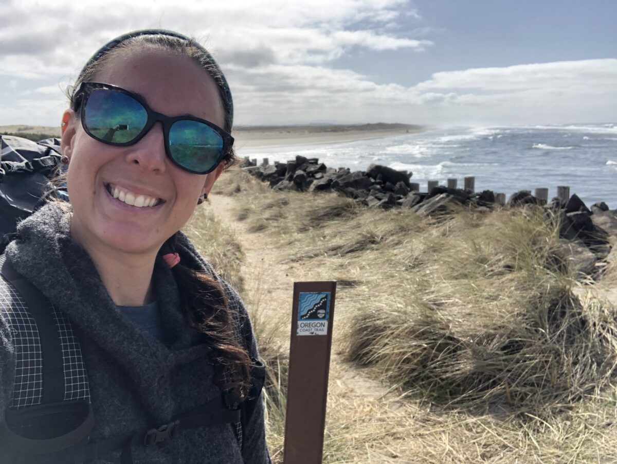
Over the past six months, I’ve been slowly picking away at the 330-mile Oregon Coast Trail. This is my first section hiking experience, and one of the most non-linear trails I’ve ever hiked. My first section was with two hiking friends, and for the most recent section I was on my own.
While I love the companionship of hiking with partners, solo trips are one of my favorite ways to backpack, and I’ve done plenty of peak-bagging trips, camping excursions, and overnights by myself. But those past solo outings were either in familiar areas or on straightforward trails. All I needed was a reliable GPS track and to remember all of my gear.
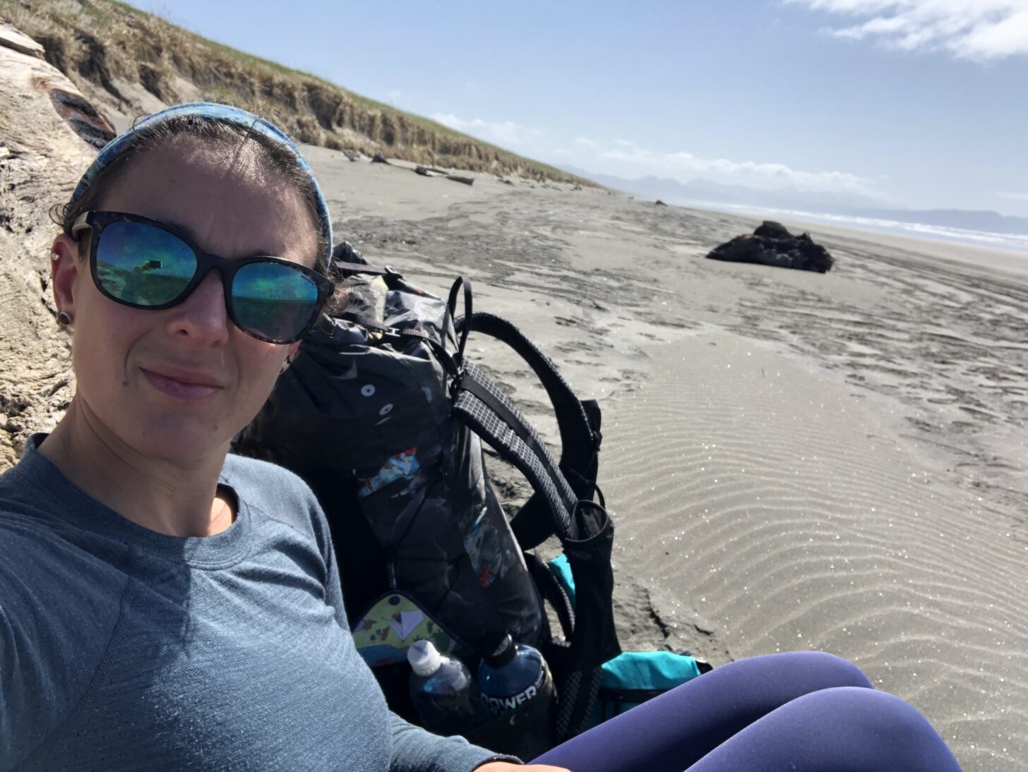
Doing this section of the Oregon Coast Trail by myself didn’t seem like too big a deal. It was a little over 50 miles and I figured on two-and-a-half days end to end. But this section required one aspect that is simply not my strong suit: planning.
I’m a highly detailed planner at home. Everything is on a list, and sometimes I make lists of my lists to keep track of what lists I’ve written. As a full-time writer and solo homeowner, planning keeps me sane and ensures I don’t drop the ball on anything from overdue invoices to draft deadlines to calling the sprinkler guy. Backpacking is my escape from this – literally and figuratively. I get out of my house and away from my routine, which also means I strive to ditch the shackles of my structured, planned existence when I hit the trail.
So yes, sometimes this means the planning falls to other people. Other times it means no one planned the trip and we’re just going to wing it. In my defense, I’ve found backpackers sometimes have the tendency to over plan before realizing they’re at the mercy of the trail, and itineraries are often set free within the first few days. As long as I know how I’m getting to the trail and the location of my first resupply, I’m all set. I don’t look at the elevation profile, I don’t obsess over the forecast, and I’m not super concerned with how I’m getting off the trail.
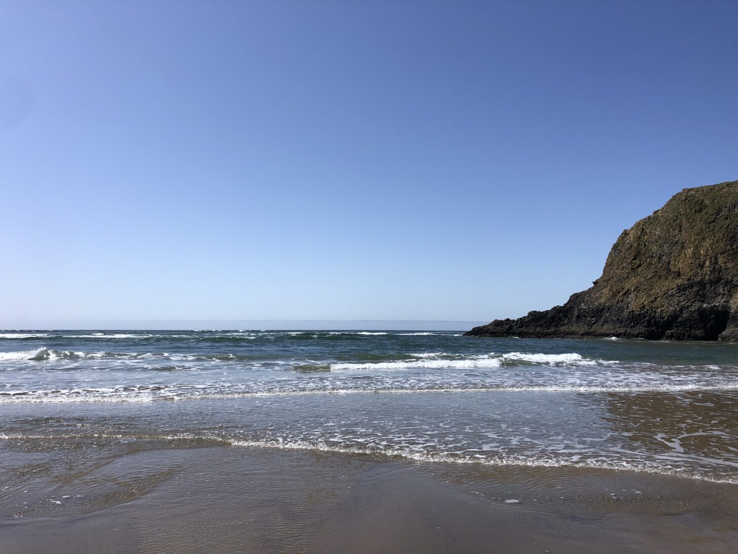
I had to put some thought into this section of the Oregon Coast Trail. The OCT is odd from start to finish. You definitely need a GPS track, as the trail wanders on and off the beach, darting through towns and into neighborhoods before picking up a few miles of trail, then back onto the beach and exiting at another seemingly random point. There are also points along the beach sections that can only be crossed at low tide, which means having a tide chart or app. Additionally, some parts of the trail are closed from a massive storm last fall that resulted in large swaths of impassable blowdowns. All in all, for a short section, there was kind of a lot to consider, at least for me.
In typical fashion, I had a work commitment right before I was supposed to get dropped off at the Northern Terminus, and didn’t pack or plan anything beforehand. I threw my standard gear into my screaming cat pack and took screenshots of the trail description page from the Oregon Coast Trail website so I wouldn’t have to try to access it with spotty service. I’d had the foresight to get a membership to the Hiiker app the day before, which is one of the only apps with a track of the OCT. As we drove in and out of service along the Oregon Coast towards Astoria, I downloaded a tides app and made sure I understood the interface. It might have been last minute, but it was more planning than I’d done for any other trip.
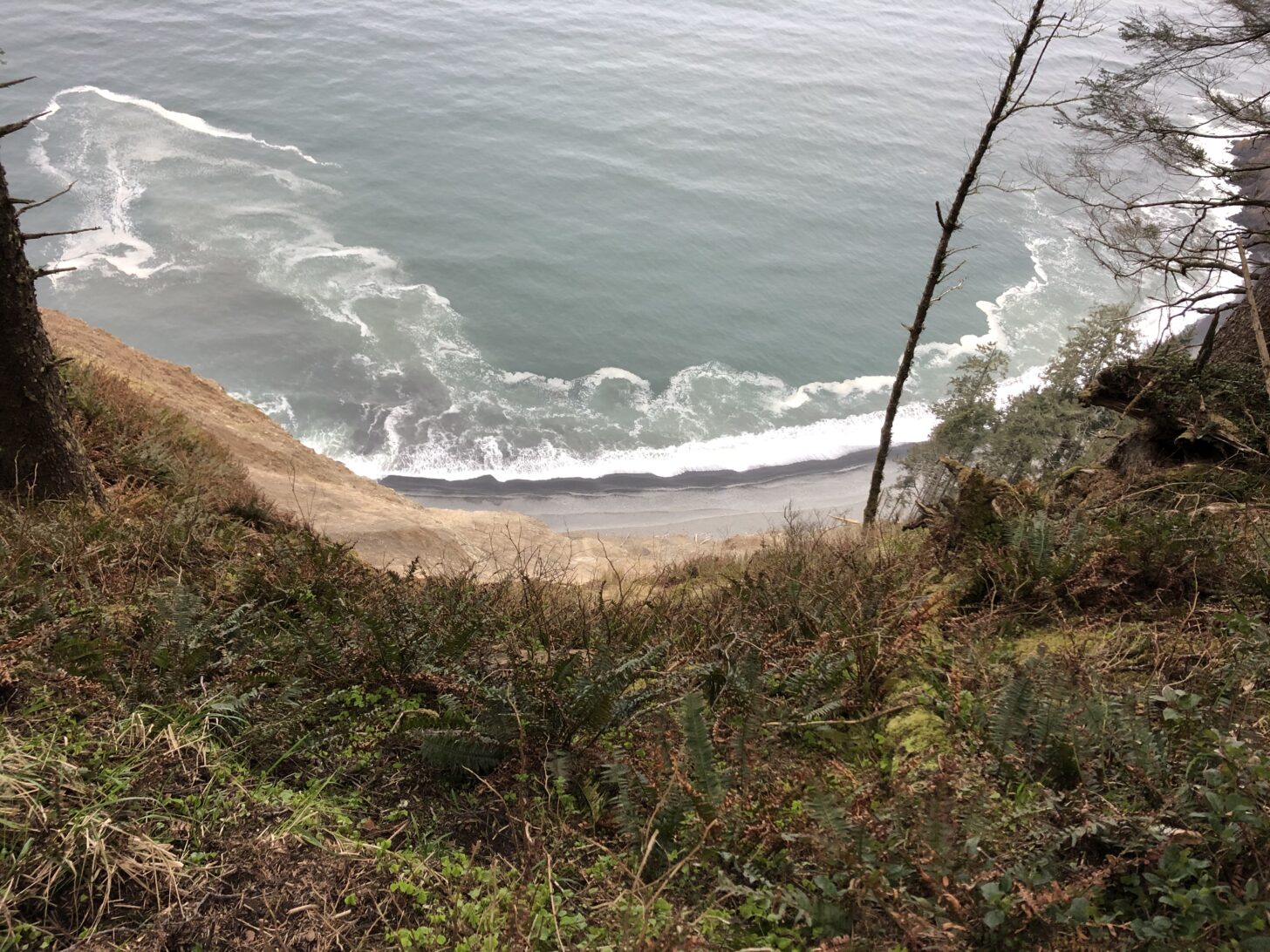
There isn’t a ton of cohesive information about the OCT – you have to piece it together from different sources. For this reason, the northern 50 miles of the OCT was good practice for me to be in charge of my own planning without risking major consequences like I would with a more remote trail. There was some navigation, some timing, and some understanding of closures and regulations, but nothing critical – and always some room for error.
I thought about the last time I was on the OCT. My friend Julia had discovered and downloaded Hiiker. I’d never downloaded the app, rather let her be in charge of telling us where to get on and off the beach. The other member of our party, Becca, had the tides app, and she kept track of when we were safe to cross certain sections of beach.
The Oregon Coast Trail is not remote – at least the northern half isn’t. But because of the afore-mentioned tides and unmarked trail sections, the OCT takes a different type of planning than a more traditional trail. You might not need to plan the timing of resupplies, as the trail hits a town at least every other day, but you do need to time certain sections based on the tides, and know where camping is or isn’t allowed.
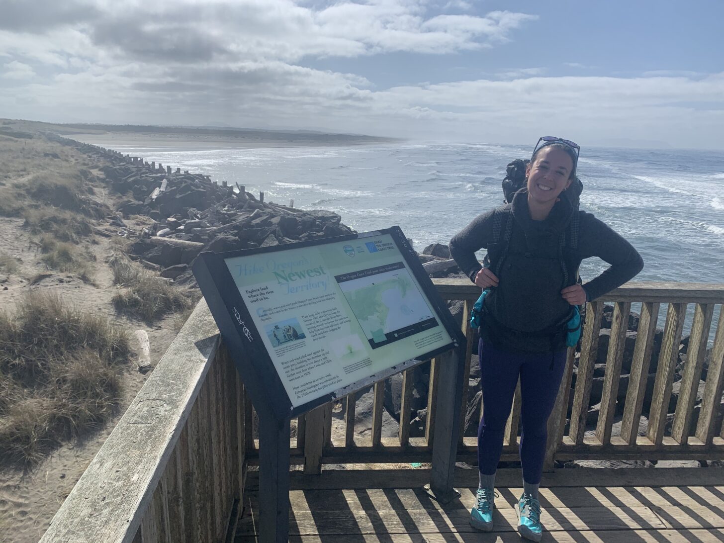
My partner Jeff shuttled me, and he waited for me to direct him to the Northern Terminus instead of mapping it himself. He is well aware of how much I drag my feet with backpacking planning, and wanted me to do the whole thing. To be quite honest, I did feel a twinge of pride at actually having located the sign on the jetty at Fort Stevens State Park. I waved goodbye as he drove away, then punched through some bushes to find an official trail marker heading towards the beach. Even these first steps are usually done by my hiking companions, so even the first half-mile of my solo trek was a good confidence boost that showed I can at least find my way onto a trail.
Most of the next several days were easy. I was glad I’d downloaded the tides app, and the Hiiker GPS track was incredibly useful. Being by myself is always a joy, and I reveled in being able to throw my pack down whenever I wanted, or keep going when I felt good. I got turned around a few times, and had some trouble figuring out where the trail picked up after unmarked intersections. With no one to confer with, I was even more proud when I figured it out each time. I did get mildly frustrated trying to figure out how to tell Jeff where I was going to end (mapping skills are not my strong suit) and then frustrated again when a trail closure stymied my last night of camping. I was able to wing it, though, and also wound up feeling confident with my abilities to adapt on the fly.
The northern section of the Oregon Coast Trail was a success, and boosted my confidence for my Colorado Trail solo later this summer. I picked the CO Trail partly for the majestic scenery and ideal distance, but also because it’s a good next step in my solo planning skills. Now that I’ve gotten the bug and am not quite so resistant to planning, there will definitely be more solo trips between now and then.
Learn More: LiteAF Curve Backpack
- Maggie mentioned her screaming cat pack. Read her write-up of Lite AF’s unique Dyneema Composite Fabric dying process here.
- Or, check out the Lite AF Curve in our gear shop.
- And make sure and read our review of the Lite AF Curve 35 L here.
Related
- Read more essays by Maggie Slepian here.
- Don’t miss Maggie’s story about her first attempt to tackle the Oregon Coast Trail.
DISCLOSURE (Updated April 9, 2024)
- Backpacking Light does not accept compensation or donated/discounted products in exchange for product mentions or placements in editorial coverage. Some (but not all) of the links in this review may be affiliate links. If you click on one of these links and visit one of our affiliate partners (usually a retailer site), and subsequently place an order with that retailer, we receive a commission on your entire order, which varies between 3% and 15% of the purchase price. Affiliate commissions represent less than 15% of Backpacking Light's gross revenue. More than 70% of our revenue comes from Membership Fees. So if you'd really like to support our work, don't buy gear you don't need - support our consumer advocacy work and become a Member instead. Learn more about affiliate commissions, influencer marketing, and our consumer advocacy work by reading our article Stop wasting money on gear.



Home › Forums › Learning Curve: I Finally Had to Plan a Backpacking Trip With No Help