Episode 33 | Digital Route Planning
Stream
Summary
In this episode of the Backpacking Light Podcast, Andrew and Ryan talk about digital route planning. There are a huge variety of digital tools out there, and all of them have different strengths and weaknesses, so the guys spend a lot of time breaking things down by software type, best uses, and pros and cons.
After that, Andrew interviews Misha Gopaul, the founder of FATMAP. They talk about the technology needed to create 3D mapping software, how FATMAP is trying to make ripples in the digital route-planning world, and the responsibilities that come with being a company operating in the outdoor space.
Finally, Ryan gives an update on the just-released Backpacking Light Trek Planning Masterclass and chats briefly about the upcoming Staff Picks article.
Outline
- Intro Conversation
- Ryan’s Guac recipe!
- Andrew is going to winter hammock camp this year
- A brief overview of Ryan’s digital tool strategy
- Some of the most common digital route planning tools
- Garmin Explore (bundled with Garmin products)
- CalTopo
- Gaia GPS
- Google Earth
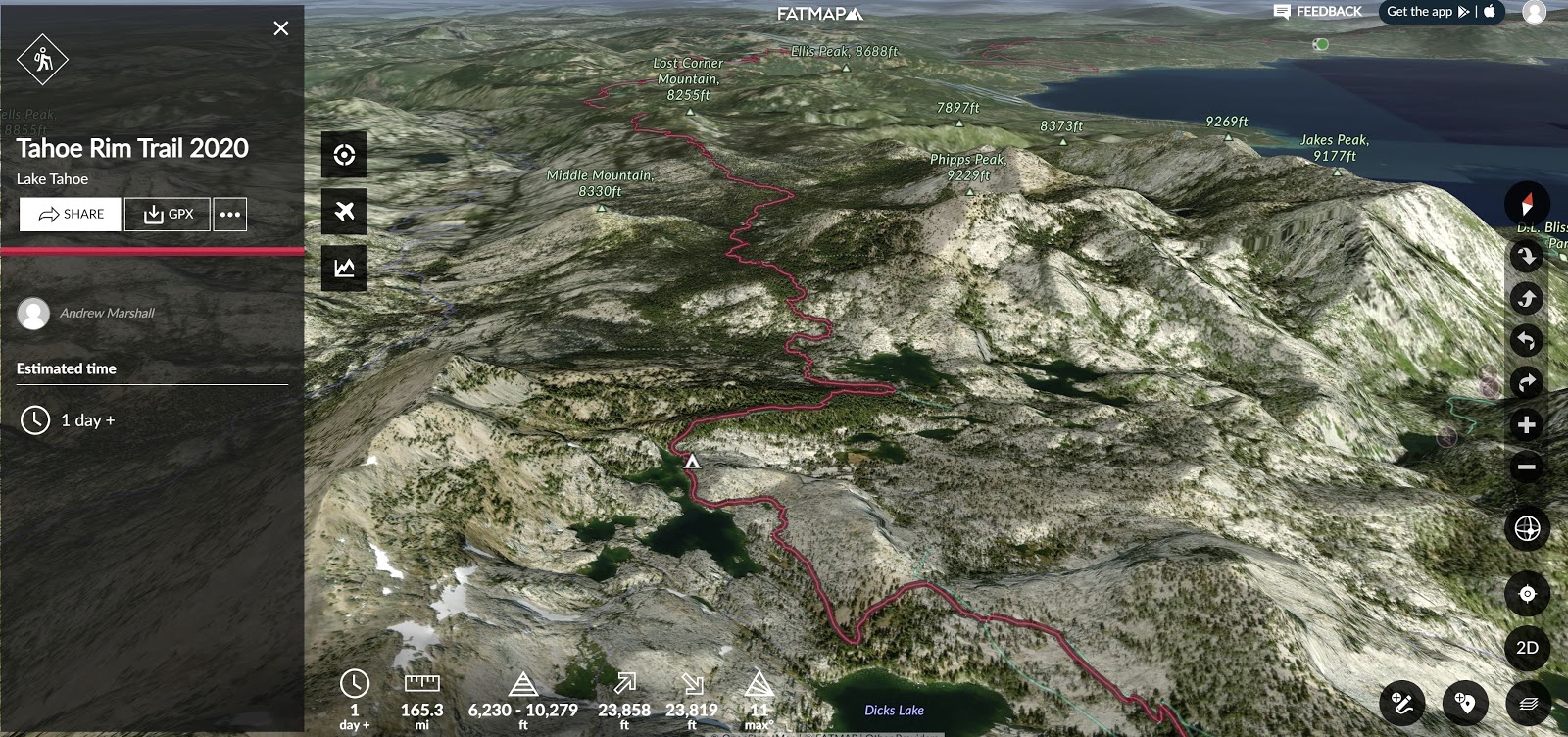
- FATMAP
- Guthook
- Planning a route from square one
- Ryan starts with Gaia GPS
- The three phases of route planning
- What sets digital route planning tools apart from map and compass
- The process doesn’t differ between paper and digital
- It’s a matter of convenience
- Segments vs. one large route
- Downsides to using digital tools
- Too much info?
- Slope angle shading + satellite imagery layers
- Information inaccuracy
- Mileage estimates
- When should you put digital tools away?
- Connection to landscape
- Speed and efficiency
- When you need to develop your skills (they always fail at some point)
- Garmin Fenix watch uses
- FATMAP Interview
- Misha Gopaul
- FATMAP’s story and Misha’s background
- Shifting outdoor market
- What does FATMAP do better than anybody else?
- FATMAP and community building
- Misha’s favorite feature in FATMAP
- Geolocating photos – a new feature coming
- Building a business: “It’s always further than it looks. It’s always taller than it looks. And it’s always harder than it looks. – Reinhold Messner
- More mountain metaphors
- Solutions to hard problems
- What’s at the heart of FATMAP?
- What’s the responsibility of outdoor companies in issues of conservation?
- FATMAP donates 1% of revenue from Explore memberships to Protect Our Winters and 1% For the Planet
- Distributing people rather than consolidating people
- Final thoughts on community building
- Trek Planning Masterclass
- A methodical framework for complex trips
- Route plan
- Equipment
- Supplies
- Strategy
- Forecasting environmental conditions
- Assessing terrain
- Creating a supply list based on knowledge of the route
- Inclement conditions and emergencies
- A methodical framework for complex trips
- Staff Picks article
- Gear that sticks around!
Resources
- Interested in a FATMAP membership? They are giving all listeners a one-month free trial to FATMAP Explore. Click here to redeem.
- Take our Trek Planning Masterclass. Improving your planning will lead to more fun in the backcountry!
Related Content
- Check out last year’s Staff Picks article
- The Navigation episode of our podcast pairs nicely with this episode.
- Take a look at our Navigation and GPS App Reviews and Gear Guide article.
How to Subscribe
Apple Podcasts | Spotify | RSS
More Episodes
Backpacking Light Podcast Index
Credits
Executive Producer - Backpacking Light; Show Director and Host - Ryan Jordan; Producer - Chase Jordan; Theme music: Look for Me in the Mountains written by Chris Cunningham and Ryan Jordan, performed by Chris Cunningham (acoustic guitar, lead and harmony vocals, harmonica), Chad Langford (upright bass), and Tom Murphy (mandolin), produced by Basecamp Studios in Bozeman, Montana.
Feedback / Tips / Questions
podcast@backpackinglight.com
More Backpacking Light
Sign up for the Newsletter. Become a Backpacking Light Member.
Disclosure
Sponsorship Policy: Backpacking Light does not accept compensation or donated/discounted products in exchange for product mentions or placements in editorial coverage, including any podcast episode content not excplicitly identified as sponsored content. Some (but not all) of the links in these show notes may be affiliate links. Learn more about affiliate commissions, influencer marketing, and our consumer advocacy work by reading our article Stop wasting money on gear.

Discussion
Become a member to post in the forums.
Companion forum thread to: Episode 33 | Digital Route Planning
Andrew and Ryan discuss some digital tools useful for planning your route effectively. Also: An interview with FATMAP founder Misha Gopaul.
Great episode. I thought it was really interesting (and admirable) that FATMAP was trying to configure the algorithms to try and disperse use and not “promote” trails/routes that are the most popular (and thus being the most impacted).
I was waiting to hear discussion about inaccuracies of elevation gain, but only heard about mileage inaccuracy. Any experiences on that? Elevation gain can be an important factor in estimating the effort needed for a section.
I’ve noted some drastically poor results (tested on graded public roads to reduce “noise” effects) from GaiaGPS on this and the company appears to acknowledge the weakness, but there isn’t much hope for improvement. I guess it’s more profitable to add “features” than improve quality because they already have your subscription.
Become a member to post in the forums.