
Learning how to use the Garmin inReach Mini without a smartphone is an essential skill to learn for device owners.
A smartphone paired to a Garmin inReach Mini satellite communicator certainly enhances the experience of using the device. It’s easier to type a message on a smartphone keyboard than on the Mini “keyboard” (sic). In addition, using a smartphone paired to the inReach Mini provides a more robust mapping-navigation experience, since the inReach Mini is not a mapping GPS unit.
However, as I wrote in this week’s Founder’s Journal:
“My phone generally stays off throughout the day unless I need to send a message (which I rarely do while hiking) or I need to consult digital maps on the Gaia GPS app on off-trail routes. I still like a small paper map and a real camera. There’s tactile satisfaction at using a paper map and a camera for photography rather than using a smartphone.
And this brings me to the main point of today’s letter – why I choose to use a Garmin inReach Mini 2 vs. a sat-connected brick like the Zoleo or BivyStick.”
- from the May 19, 2022 issue of the Founder’s Journal, an email newsletter written by Backpacking Light owner/founder Ryan Jordan sent 1-2x per month to Backpacking Light email newsletter subscribers.
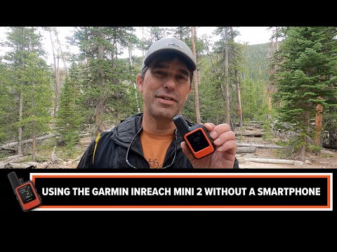
In the video below, I highlight some of the ways I use the Garmin inReach Mini 2 as a standalone device during the day if and when I’m not using my smartphone (e.g., while hiking on trails where I don’t need to refer to my mapping app very often).
These are the features I regularly use when my smartphone is off and packed away and not paired with my Garmin inReach Mini 2:
- marking waypoints
- sending preset messages
- monitoring and reading incoming messages
- using the digital compass
- requesting and reviewing incoming weather updates
- determining location coordinates (I pair this info with my paper map)
- starting and stopping tracking
Watch the video:
Related
- Article/Video: First Looks Review of the Garmin inReach Mini 2, inReach Mini 1 vs. 2 comparison, and video interview with Chip Noble, Senior Product Manager at Garmin
- Online Course: How to Use the Garmin inReach Masterclass, now updated with new modules for inReach Mini 2 users
Questions for discussion in the forum below
- Do you keep your smartphone on during the day while hiking? Why or why not?
- For Garmin inReach Mini or Mini 2 users: are there other functions you use in addition to the ones outlined above that you use regularly when your inReach is not paired to your smartphone?

Discussion
Become a member to post in the forums.
Companion forum thread to: How to use the Garmin inReach Mini without a smartphone
Learning how to use the Garmin inReach Mini (or Mini 2) satellite communicator without a smartphone opens up opportunities for overall battery management and more efficient messaging, navigation, and tracking.
Just got an inReach Mini 2 and planned to use it for messaging and as an old school handheld GPS unit. For this latter use case I can add waypoints prior to hitting the trails, then I get updates on the distance to landmarks etc. I also use the GPS tracking feature. The battery life of the Mini 2 is fantastic and I can do continuous tracking for multiple days without recharging.
However, this last use case is not working for me. When I track long duration activities (multiple hours up to full day) the Mini 2 stores the track but it is then lost when I later connect to my phone. Anyone else caught this bug? It seems that when I track for multiple hours the Mini 2 somehow looses pairing with my phone. Have encountered this at least two times.
Wow. The InReach Mini 2 looks much more usable without a phone. I didn’t realize the menu system had improved that much.
I plan my routes in Caltopo and have started using the Create Points feature to add a point every kilometre on the route. The points start at 0 and are prefixed with “KM”. The route and points are printed to paper and exported to Garmin Explore and inReach Mini 2. Comparing the points on the paper map and the inReach makes It’s easy to identify my location on the paper map.
Caltopo print output
Interestingly, the points also appear on MapShare on mobile (routes or activities don’t appear on MapShare on mobile/they appear fine on a computer), making it easier for people to follow along too.
MapShare doesn’t show routes or activities on mobile, but does show points.
Become a member to post in the forums.