Topic

Good early season Sierra trip?


Forum Posting

A Membership is required to post in the forums. Login or become a member to post in the member forums!

Home Forums Campfire Trip Planning Good early season Sierra trip?

Viewing 24 posts - 26 through 49 (of 49 total)
  • Author
    Posts
  • #3404154
    Justin Baker
    BPL Member

    @justin_baker

    Locale: Santa Rosa, CA

    This is the thread I was referencing: https://backpackinglight.com/forums/topic/76644/

    Creek crossings have me more worried than anything else this time of year. It’s hard to know what a creek will be like if you haven’t seen it in early season or know someone who has. I will likely skip tehipite for now but want to see it some time. I don’t mind warm weather later in the season, I can usually tolerate 90 degree hikes.

    #3404162
    Billy Ray
    Spectator

    @rosyfinch

    Locale: the mountains

    Just because that trip report does not complain about the ‘trail’ does not mean it was good. Sometimes guys just want to brag about how good it was. Sometimes people just forget to include everything. You could P-mail the author and ask about the trail being overgrown, etc. Also, it appears they just went down to the bottom and back out without hiking up canyon. Hiking up canyon would require crossing several side streams which it appears they did not.

    billy

    #3404166
    Aaron Sorensen
    BPL Member

    @awsorensen

    Locale: South of Forester Pass

    Something easy to get to would be up around 10 lakes off 120.

    You could link up some other trails along the way.

    Check “Sierra Mapper” for some great trial trip planning.

    #3404236
    Paul Wagner
    BPL Member

    @balzaccom

    Locale: Wine Country

    The data seems to get updated daily at the very least…

    #3404284
    Mario Caceres
    BPL Member

    @mariocaceres

    Locale: San Francisco

    Justin, I think it’s wise not to attempt to ford the Middle Fork of the King River (Simpson Meadows) early in the season, specially this year.  I crossed it last year at the end of July and water level was above mid thigh (I’m 5’9″).  I crossed  it early on the day and as you know last year was a dry year.

    #3404960
    Justin Baker
    BPL Member

    @justin_baker

    Locale: Santa Rosa, CA

    I have 4 days free next week and I’m strongly considering doing Rae Lakes. I’m assuming glen pass will be sketchy this time of year. Planning on getting to the lakes and then turning around. I’m still not totally sure what I’m doing yet. I think I will save tehipite for later in the year.

    #3404966
    Mario Caceres
    BPL Member

    @mariocaceres

    Locale: San Francisco

    Justin, this is the snow coverage along Rae Lakes Loop (Orange line) as of today according to National Operational Hydrologic Remote Sensing Center.  I have used their data only once on the field on an overnight to Emigrant Lake and found their data pretty good.  Take this data with a grain of salt but definitely better than just a wild guess of what conditions may be.

    #3405075
    Ralph Burgess
    BPL Member

    @ralphbge

    If you’re doing Glen, I’d take crampons and ice axe unless you have definition report that they are not needed.  Steep slopes, it can be treacherous until the PCTers have pounded out a clear path.

    #3405110
    Billy Ray
    Spectator

    @rosyfinch

    Locale: the mountains

    I bet after Memorial Day weekend it will be boot tracked.

    Might get over easier than you think… but I’d at least take microspikes and poles…

    billy

    #3405144
    Justin Baker
    BPL Member

    @justin_baker

    Locale: Santa Rosa, CA

    If I could get over glen pass safely that would make the trip great. I have some microspikes to and an axe. I know the basics of self arresting but have never practiced it myself. Useful for chopping steps at least? Or would it be better to have a pole in my hand? The steepest snow I have been on was white river pass in early june.

    #3405536
    Justin Baker
    BPL Member

    @justin_baker

    Locale: Santa Rosa, CA

    Mario, that link you sent me that opens in google earth is very useful. How do they measure the snow depth? Laser beams from space?

    #3405543
    Billy Ray
    Spectator

    @rosyfinch

    Locale: the mountains

    “If I could get over glen pass safely that would make the trip great.”

    Strategically, it would be best to do that loop counter clockwise. That way you would be going up the south facing snow fields in the morning before they soften too much… and the north facing slopes in the afternoon, after they have softened a bit.

    If you haven’t used an ice axe before or practiced self-arrest, getting your first experience solo with a backpack on, without instruction is not a good idea. You might be okay… but… If there is ice hard enough for needing an ice axe than you should have real crampons and not micro spikes.

    If you insist on doing this solo, then my recommendation is to go slow and with the attitude that if it gets scary you will back off and return the way you came. It may be that it is boot tracked already and easy… or many not. You need to use extremely good judgement.

    billy

    #3405547
    Hiking Malto
    BPL Member

    @gg-man

    There have already been PCT hikers over Glen, I would expect a well worn path by the time you go. ( A lot of early hikers this year.)

    Other good early season.
    1) Hetch Hetchy area. A loop up to Tilden lake is cool, I did it on snowshoes in the winter.
    2) agree with Grand Canyon loop. I did that in May several years ago, incredible area.
    3) while I love hiking into the heart of the Sierra via Flornece Lake, I wouldn’t do it early season. You will have an interesting stream crossing over evolution and plenty of snow at Evolution Lake.
    4) Want to play in snow. My favorite Sierra snow entry is via Kearsarge Pass. You can do a great loop up over Junction Pass, down center basin and over Kearsarge. See my trip report here. https://backpackinglight.com/forums/topic/32242/
    5) from Yosemite Valley hike up to Merced Lake and the upper Merced. A lot of cool areas to explore. You can loop over Red peak pass for a loop.

    Enjoy your trip.

    PS. I have done Glen Pass twice in the snow, Rae Lakes and PCT 2011. It is easier than it looks from the south. I would do it CCW because you can either glissando or do a fast descent depending on the conditions. Pay attention to the runout.

    #3405558
    Justin Baker
    BPL Member

    @justin_baker

    Locale: Santa Rosa, CA

    Billy, my reason for going clockwise is so that I can see Rae lakes and if glen pass is too sketchy, I can always back out. My main goal is to get up to Rae Lakes. I might just get to rae lakes and the altitude will hit me and I wont feel up to getting over Glen pass. Counter clockwise if glen is too sketchy I don’t get to see Rae Lakes.s. I have been through bubbs creek and the kearsarge basin area twice before so that would be less satisfying. I also would prefer the longer approach for acclimating. But I understand your reasoning. Do you think there would be enough snow for postholing on the south side? Some PCT instagram pics are showing some clear (im assuming south facing) slopes.

    #3405561
    Billy Ray
    Spectator

    @rosyfinch

    Locale: the mountains

    South slopes will have some dry ground this time of year… but probably just in places due to rocks heating up and/or places where the storm winds last winter would not allow a great depth of snow. There will be a lot of snow to trudge though and while it is easy to be concerned about the icy north slope, there is also the concern that if you go clock wise that by the time you hit the sunny south slopes you could be postholing in up to your waist in places. That’s why we go the south facing slopes in the morning and the north facing in the afternoon this time of year. This potential is exacerbated by the warming trend this week. And while you can be seriously hurt or killed by falling on an icy slope you can also be seriously hurt or killed  by punching through soft south facing snow into underground streams/snow melt… or punching through and just breaking your ankle or leg… I understand your logic for clockwise, but from a snow and ice perspective it is MUCH better to hit the south facing snow before it gets too soft and the north facing after it has softened up… going clockwise you will hit both at the worst time of day and potentially increase your odds of trouble. On the other hand… could be boot tracked and easy. Best thing in all circumstances it to back off if it’s scary and beyond your experience. Hope you have a great time.

    billy

    billy

    #3405570
    Mario Caceres
    BPL Member

    @mariocaceres

    Locale: San Francisco

    Justin, you said “How do they measure the snow depth? Laser beams from space?”.

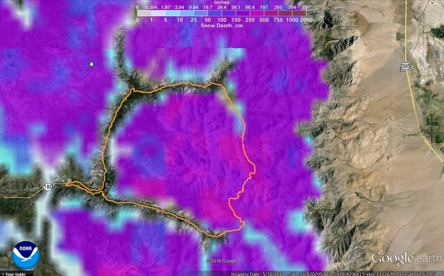
    Basically yes, similar to GPS technology. They use satellites and computer models to estimate snow levels, etc.  So As I said before take this data with a grain of salt.

    Back to your planned trip, this page from PCT.org is a good compilation of folks doing the PCT and can give an idea where they are now.  You will need to scroll down as many reports as you can to get a better overall picture but a quick overview tells me that actually not that many people have made it thru Glen pass yet, or at least those that have made it are not too active in social media or blogging their trip.

    In your initial post, you mentioned you wanted to get some experience with early spring / snow travel.  To be honest I’m not sure Rae Lakes Loop in current conditions is it.  It will take you a couple of days to get to the good stuff, and then it will be time to head back (assuming you have 4 days and Glenn proves too challenging to cross over for someone without much experience with snow travel).  Unless you find a beaten path along the JMT, expect to make much slower progress on that section, so 4 days may not be enough if you are hoping to complete the loop.

    In this report of trail conditions from SEKI, “…Visitor reported making it to the Woods Creek Junction on the JMT. Hiked in snow from Upper Paradise Valley on. Visitor did not have snowshoes or any other special winter gear and was able to hike with relative ease. Turned around at Woods Creek Junction because conditions intensified, with deep snow (3+ feet), and colder temperatures (freezing or below). “.  Yes, this is from a couple of weeks ago (5/13) but as you probably know if you have been following the weather in that area there has been some storms passing thru.

    As others have mentioned, there are other options around Yosemite Hwy 120 that will put you right into the snow / early spring conditions from the beginning.

    My 2 cents.  have fun out there.

    #3405578
    Ken Thompson
    BPL Member

    @here

    Locale: Right there

    Check the weather. Heat wave next week. Predicting 110 in Chico on Saturday. Creeks will be high all around. Be safe and have a great time.

    #3405591
    Justin Baker
    BPL Member

    @justin_baker

    Locale: Santa Rosa, CA

    Thanks for the advice everyone. I am still considering my options. I’m planning on leaving tomorrow. If I did do the Rae Lakes loop, assuming I decided to go over glen pass, my itinerary would be taking 2 days to get to Rae Lakes, taking a full day to get over Glen Pass and down into the bubbs creek canyon, and then getting back to roads end on the 4th day.

    The grand canyon of the tolumne has me interested but it doesn’t look like it would be an early season challenge. Normally I would go to emigrant out of crabtree but I’ve already done the early season thing there twice recently.

    It looks like the rae lakes loop doesn’t have any unbridged crossings. Is that correct?

    #3405603
    Justin Baker
    BPL Member

    @justin_baker

    Locale: Santa Rosa, CA

    Now that I have thought things through, I think I am going to skip rae lakes and head to tolumne. I’m getting a bit carried away here, I’m not in my best physical shape now and altitude can hit me hard sometimes. Should be plenty of opportunity to challenge myself in yosemite with easier terrain.

    #3405684
    jscott
    BPL Member

    @book

    Locale: Northern California

    Hiking Malto’s suggestion #5 is good–no big river crossings and probably snow only through the Red Peak area. finding the pass over Red Peak can be a bit challenging though. Really great country.

    You could also go out of Tuolumne and go over Vogelsang, then follow the high trail into Triple Divide–where you would meet up with the Reds Peak junction–then go down to Merced lake and loop back to Tuolumne. But the Lyell Fork will be raging and it can be a bit intimidating. There’s a better crossing just up from the trail but it’s a bit deeper and faster than it looks. Be careful!

    for that matter, you could also go over Donohue down to Merced, then loop back up through Sunrise and back out to Tuolumne. Again, no real problematic river crossings.


    #3405909
    Justin Baker
    BPL Member

    @justin_baker

    Locale: Santa Rosa, CA

    Anybody know if the mosquitoes will be bad in the grand canyon of the tolumne?

    #3405926
    jscott
    BPL Member

    @book

    Locale: Northern California

    Probably.

    But it’s the rattlesnakes in Pate Valley that you really need to watch for.

    Seriously, this is a great hike. Waterwheel should be spectacular.

    Be ready for the climb back up to Whitewolf if you’re not going on to Hetch Hetchy. But your pack should be nice and light by then!

    #3407025
    Justin Baker
    BPL Member

    @justin_baker

    Locale: Santa Rosa, CA

    I ended up doing the grand canyon of the tolumne. I’m very glad I did, it was probably the best backpacking trip I’ve been on. The water flow was insane and the lower elevations were beautiful. Mosquitoes were bad in the lower elevations but they could have been worse. Glen allulin valley was completely flooded in some parts. Register Creek is flowing way to hard to cross at the trail. You have to walk upstream a ways to find a log crossing. It involves some bushwacking, rock hopping, and log vaulting. If you fall off the log crossing at the current flows you will most likely die, but it’s a solid log to cross.

    I was a little reluctant to do it because I was craving some snow, but I decided I didn’t want to deal with carrying microspikes, an axe, and choosing between snowshoes or postholing. There was really that much snow in tolumne.

    #3407028
    jscott
    BPL Member

    @book

    Locale: Northern California

    Great to hear that you liked this beautiful hike. One year I showed up in Tuolumne ready to go over Vogelsang and saw how much snow there was. then I spoke with a group that had tried to come in from Reds Meadows and they were very discouraged and discouraging–they’d abandoned their hike. Like you I didn’t want to spend my days post holing. So I hiked the Grand Canyon, which I’d always avoided because I like altitude. But it’s a great trip!

    sounds like you didn’t meet any rattlers too! Glad you made it through that nasty river crossing. I hate those things…

    p.s. I’ve been over Voglesang and other passes in the snow lots–Vogelsang especially–but for me too much is too much.

Viewing 24 posts - 26 through 49 (of 49 total)
  • You must be logged in to reply to this topic.
Forum Posting

A Membership is required to post in the forums. Login or become a member to post in the member forums!

Get the Newsletter

Get our free Handbook and Receive our weekly newsletter to see what's new at Backpacking Light!

Gear Research & Discovery Tools


Loading...