The source data for the ortho imagery used by Caltopo and Gaia are different. I think Caltopo use Google Earth imagery while Gaia has other sources, maybe Bing, maybe a mix. Up here the quality of each varies from place to place so I’ll find myself switching between programs when route planning to get the best view. It’s always a downer to find they have taken the pictures during winter, everything is just white!
Topic
Gaia GPS vs Avenza
Become a member to post in the forums.
- This topic has 30 replies, 19 voices, and was last updated 5 years, 9 months ago by
 .
.
I use Gaia for both work and backpacking. It has tons of layers and capabilities and I use it as a stewardship director and natural resources manager at a land trust. I use Gaia to track monitoring visits, violations, invasive species, tracks, you name it. This work requires far more capability than planning a backpacking route which works well. Gaia has very good customer support and a large library of videos that help with all sorts of things. I highly recommend it.
I also sometimes use OnX, which is primarily geared for hunting. However, it is a very clean ans simple user interface and has a better data set for the Adirondacks mountains where I hike most often.
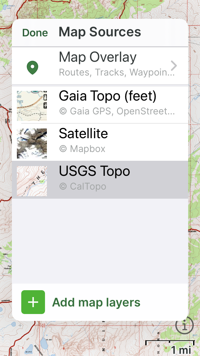
Also bear in mind you can upload CalTopo maps into Gaia…
Not sure how much better a gps watch is or how ‘bad’ phones GPS is. All of my iPhones for the last 4 years can put me within 1-2 feet of where I actually am on the trail, sometimes exactly. I don’t need more accurate than that.
Only bad GPS I have encountered in phones was android from a few years back.
I guess a clarification is in order: when I say GPS performance I mean generating a GPS track.
For *my* purposes where I almost always track my hikes and other activities, the Suunto Ambit3 Peak runs circles around any smartphone paired with any app.
Through experience I’ve learned not to turn tracking on with any phone app: the constant GPS use drains the battery very fast especially in areas with tree canopies or in canyons.
I do carry a phone with me but I never turn tracking on given my experience; my watch works perfectly for that.
When I’m uncertain about my exact location I just have to press a couple of buttons on my watch – I always keep the the printed topo map for the day handy. Often I just need to know my altitude for which I simply need to look at my watch.
On backpacking trips the Suunto Ambit3 Peak can go multiple days on a single charge (with the right settings).
This is not a knock on the apps but more a fact of the “platform” (Android, iOS and the underlying hardware). It’s not a design goal for a smartphone to provide that kind of performance for good reason: less than 5% of the target market even knows to care about this…..
I guess I hit a nerve among the Gaia/Apple crowd…. ;). Apple fanboys get so excited any time they hear anything negative about “their” brand…… ;) I know a few…..I hike/run with them all the time.
I know they are not available for Iphone, but by far my favorite gps apps are Caltopo, Locus maps and Oruxmaps. These all allow for using downloaded maps from caltopo plus, in my opinion are much better than Gaia. From everything I can tell, Gaia is more popular simply because they have an iPhone app.
Become a member to post in the forums.
advertisementYour privacy is protected: We do not transmit your user data to third-party ad platforms or advertisers, and we do not host third-party tracking pixels. Backpacking Light serves ads on its own custom, native, and internal platform.
 New Ultralight ShelterFreestanding silpoly shelter for lightweight adventures.