Topic
Glacier National Park WOW!!!!!
Forum Posting
A Membership is required to post in the forums. Login or become a member to post in the member forums!
Home › Forums › Campfire › Member Trip Reports › Glacier National Park WOW!!!!!
- This topic is empty.
-
AuthorPosts
-
Sep 5, 2012 at 10:01 pm #1293756
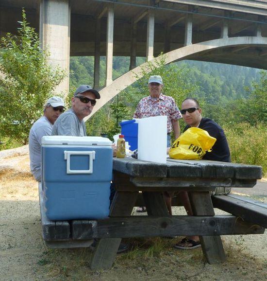
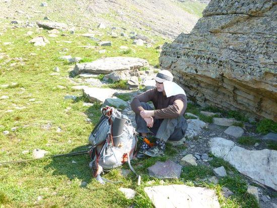
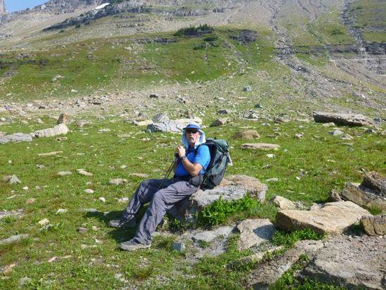
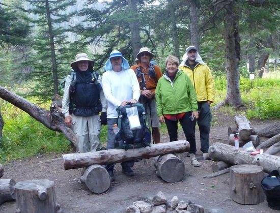
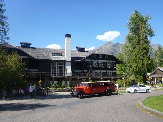
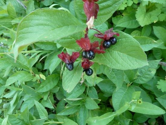
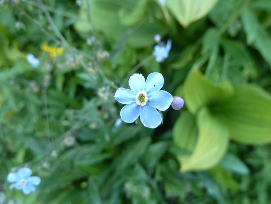
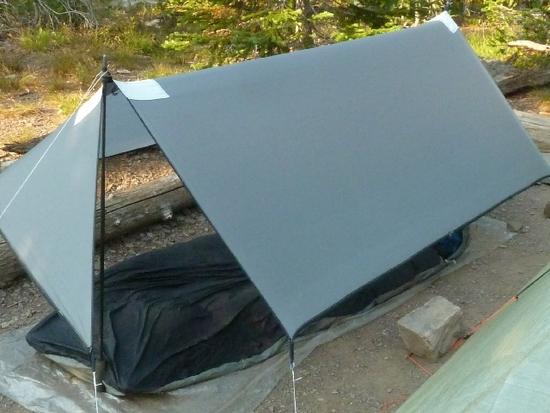
I don't even know where to start. This trip, and plannig, started for me about 2 years ago and finnaly came true last week. I want to say thanks to the members before me that have posted pics and videos, one of whom was David Chenault, you have an amazing backyard to play in. This is going to be my new play ground, when ever I can afford the time and money to get out there. This trip originaly started with 8 people going, but after some people bowing out due to jobs and other constraints, we ended up with 4 total, this worked out to be the magic number. The 4 that went were, Marc Eldredge, his brother Rick, David Wage and myself. I left my house on Aug. 24th at 5:30 am and drove to Davids house in Modesto to meet up with everyone else. When I got there everyone one was accounted for and ready to start this journey. We left Modesto and headed for my sisters house in Madras Oregon where we would spend our first night. When we arrived we had a nice BBQ dinner waiting for us (Thanks sis) and beds for everyone, plus showers! The next morning we were off to Montana, oh I forgot to mention, on the way up the 99 fwy we hit smokey skies from Redding Ca. all the way to Oregon due to wild fires, when we passed Mt Shasta you could barley see it, or the lake. We got to the Glacier Park and found that all the sites were full, but we kept checking untill we found one, then we rolled out the bivy's in the dark and went to sleep. The next morning Marc payed for our site and we went to pick up the permit, and check out the park since our hike didn't start until Mon. This gave us a chance to try out the free park shuttle, have some breakfest, coffee, and of course some Huckkelberry icecream. YUUUUMMMMMM!!! Dave and I would drive the car to the loop and park it there, so after our hike we could drive it to the lodge where we would all spend the night. We took the shuttle back which was very nice and clean, and it gave us a chance to site see. Mon. morning we hopped on the non stop shuttle to Logans Pass to start our hike on the Highline trail. Now for some pictures.
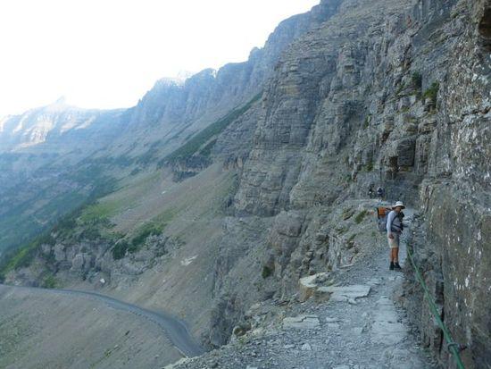
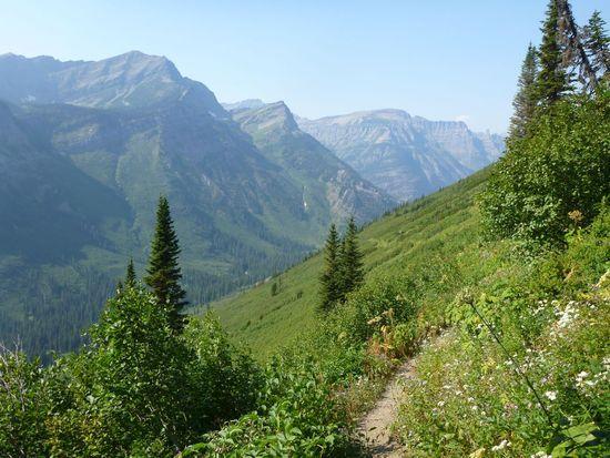
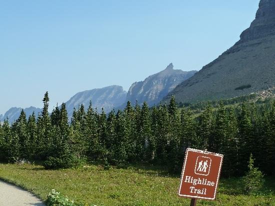
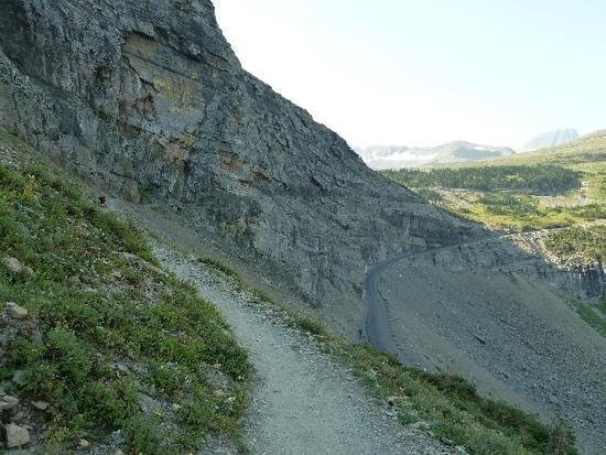
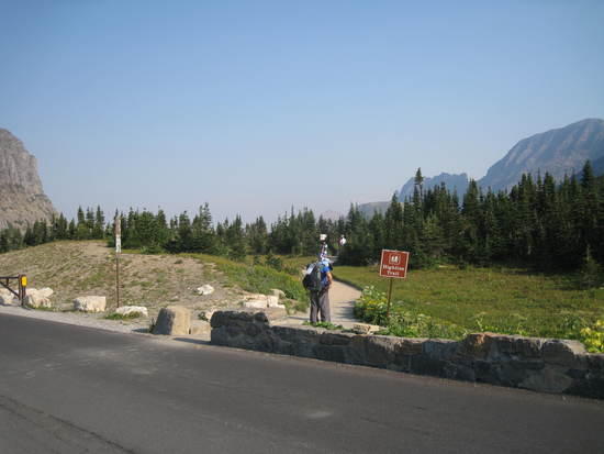
This is the start to the Highline trail.
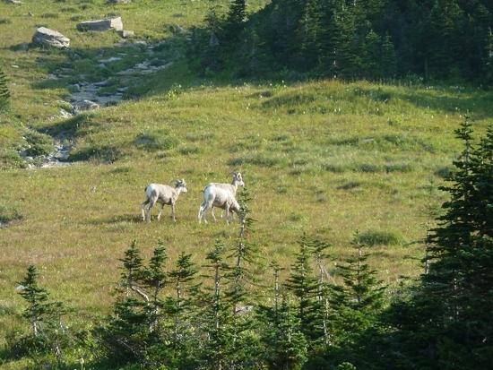
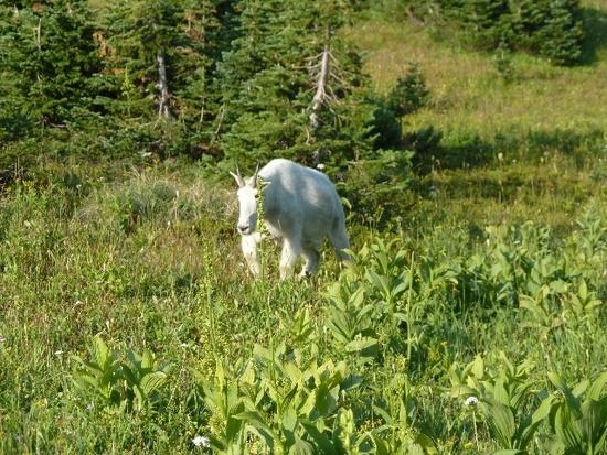
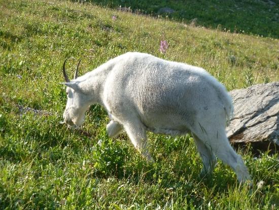
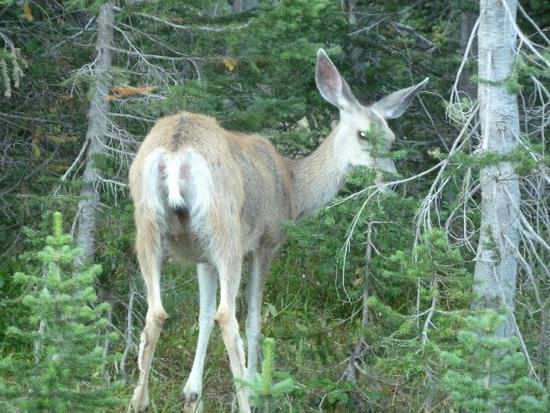
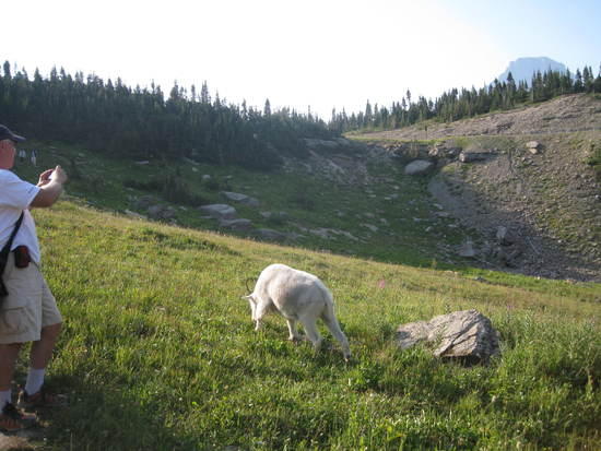
Right off the bat we seen Rams and Mountain goats.
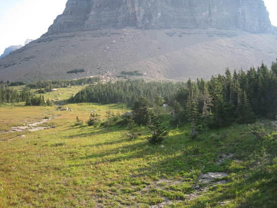
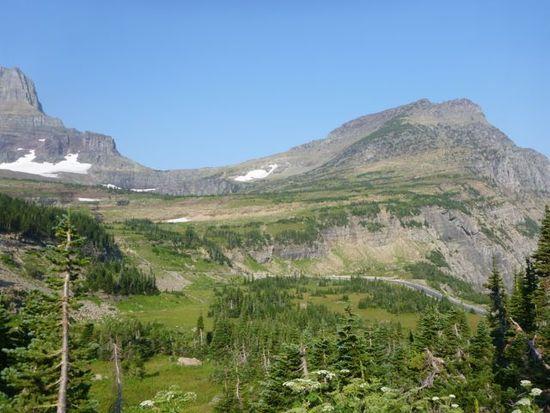
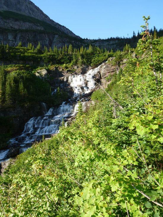
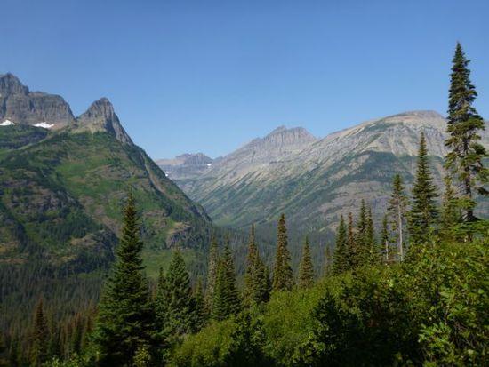
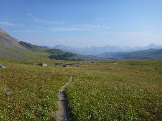
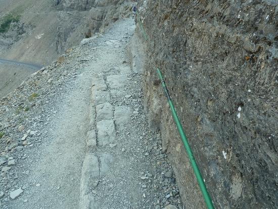
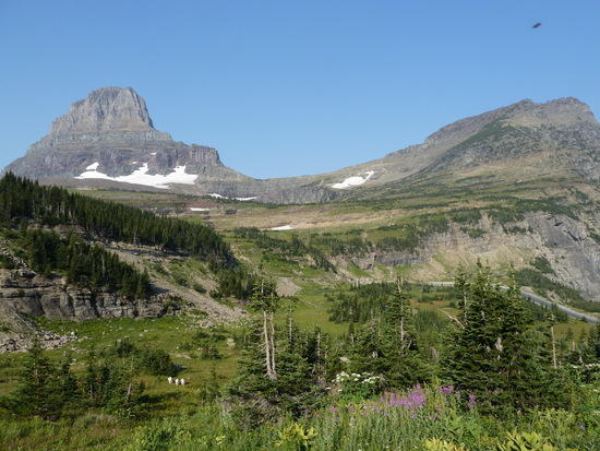
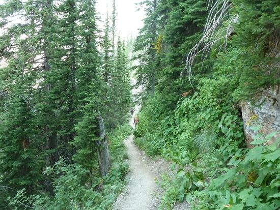
Our first look at the Highline trail.
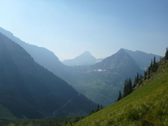
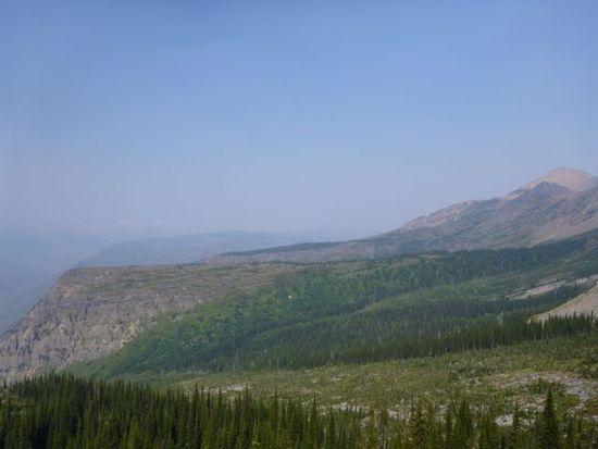
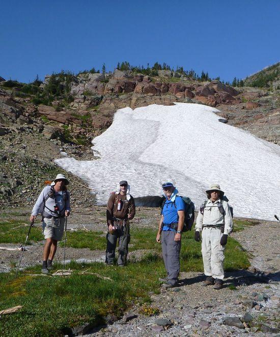
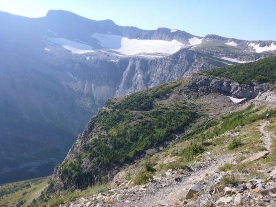
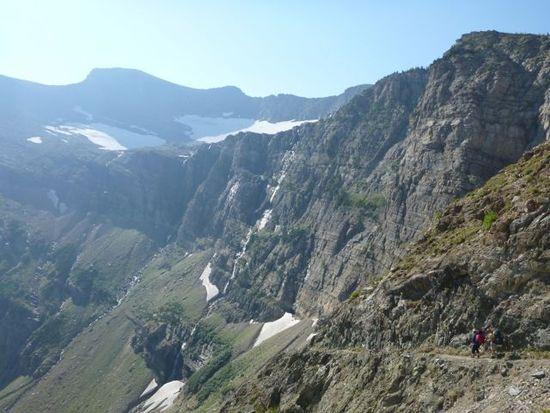
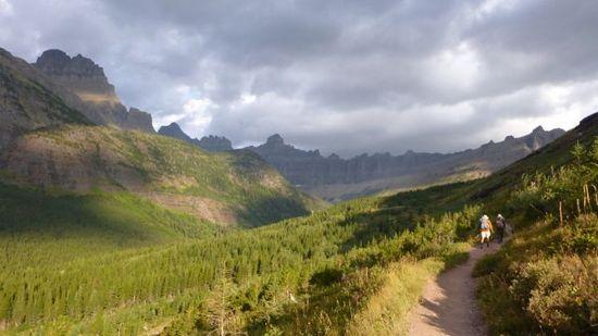
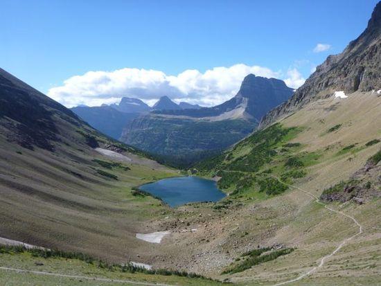
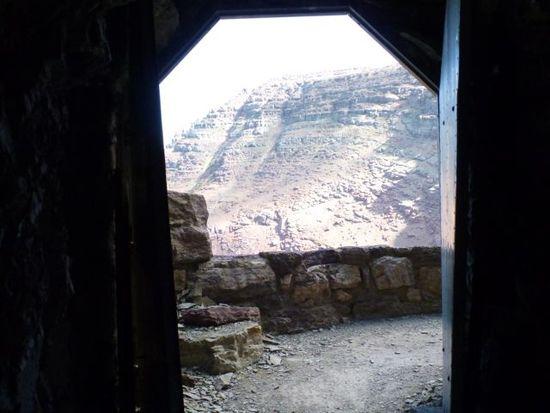
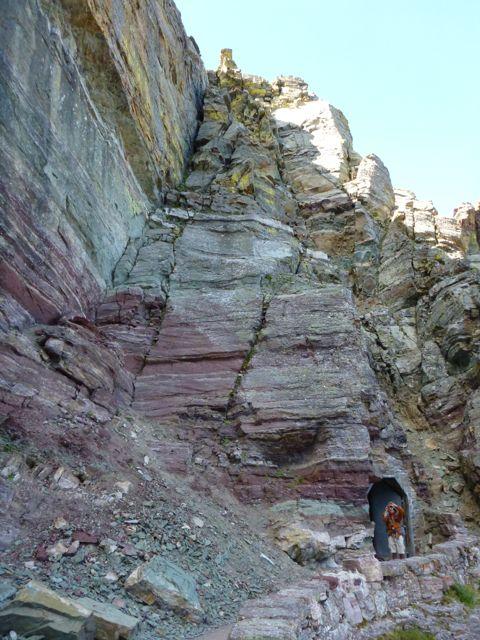
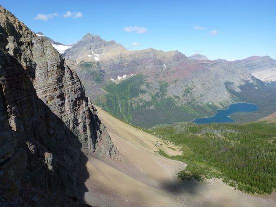
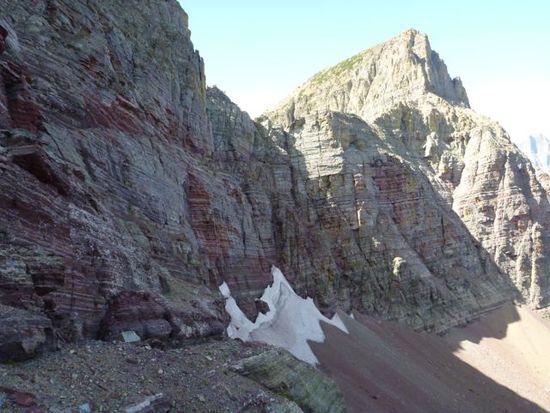
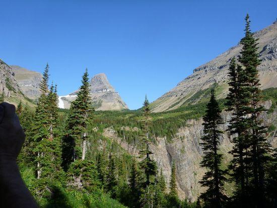
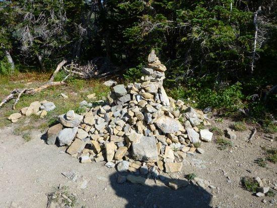
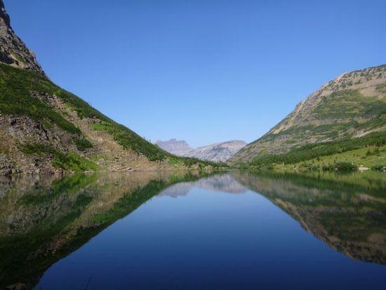
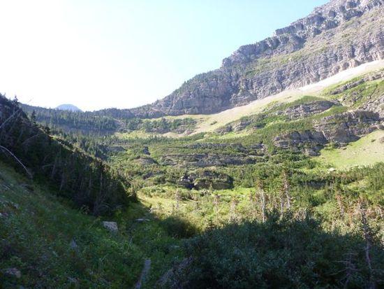
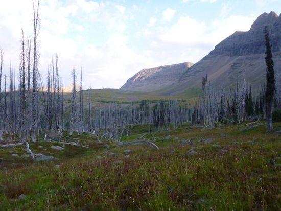
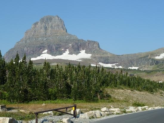
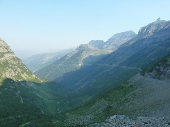
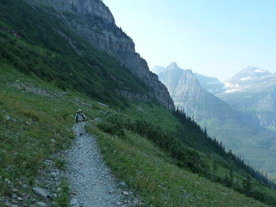
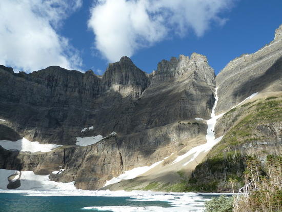
I fast foward to these 2 pics just to give you an idea of whats in store.
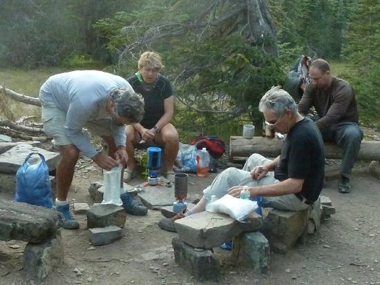
I'll post more pics later this week, I need to resize alot of them first. I'm sure once the guys see I've posted they well start posting thier pics also. I hope everyone enjoys them, but they just don't due the Park justice.
Sep 5, 2012 at 11:35 pm #1909551After a long drive we finally made it to Apgar and set up camp. Next morning we went to the permit station and got our permit. We then decided to take the car to the loop so it would be there when we hiked out. Lazed around the rest of the afternoon and got up early the next morning to catch the shuttle to Logan Pass. Started to hike about 9:00AM or so. The smoke from a fire in the Bob had drifted north and hazed up our view which was kind of a bummer.
Our lunch next to the Sacramento River.
Fireworks at Jack's sisters.
Sunrise from the porch of the Lighthouse.
Duomid with a Stealth Nano porch.
Trailhead at Logan Pass
Sheep at the start of the hike.
Looking across from the cable.
The cable along the Highline Trail.
Our hazy day.
Dave on a little break
Same with Jack
Looking toward Granite Park.
Our camp at Granite Park. A little cramped.
My kind of outhouse.
Back side of Granite Park Chalet.
Looking toward Swiftcurrent Pass.
A growing Cairn at the top of Swiftcurrent Pass. Kick this one down.
Rick, Dave, Jack and Marc.
Looking toward Bullhead, Redrock and Fishercap lakes.
The Swiftcurrent Pass Trail.
More Swiftcurrent Pass Trail.
Nice swimmming hole at the bottom of the pass.
Swiftcurrent Motor Inn. Nice dinner.
Nice sunrise with a little cloud cover and a couple of drops.
Was nice hiking in the cool morning with the clouds.
Along the Ptarmigan Trail.
Heading for the Ptarmigan Tunnel.
Looking down on Ptarmigan Lake from the entrance to the tunnel.
Marc and Rick at the southern entrance to the tunnel.
The interior of the tunnel. This was quite the work.
Looking out the north door.
Looking down the Ptarmigan Trail from the tunnel.
This is Elizabeth Lake. We will camp on the far side.
The northern door of the tunnel.
The cliff over the northern door.
Cliff face to the left of the northern door with part of Elizabeth Lake.
Down the Ptarmigan Trail.
More of the trail along the cliff.
Elizabeth Lake from farther down the trail.
Look up toward the trail along the cliff.
More Elizabeth Lake.
Looking toward Helen Lake and Ahearn Pass. Don't know how Dave C. did that one.
Getting closer to Elizabeth Lake.
Getting closer and closer.
Bridge to the campground at Elizabeth Lake Foot.
Dave and Jack having a little dinner.
North on Elizabeth Lake.
Dawn Mist Falls. Too bad the sun wasn't shining on them.
Rick, Jack, Dave and Marc along Glenns Lake. The swim felt good after walking through the Thimbleberry jungle.
Mt. Merritt from our swim on Glenns Lake.
Marc, Jack, Rick, Barry and Dave. We had met Barry in the permit office. We couldn't figure who was stalking who.
Falls on the way to Stony Indian Pass.
The Thimbleberry jungle. This is what we had encountered on the previous days hike and what we would encounter below Stony Indian Lake and up the Waterton Valley Trail.
Wahcheechee Mountain on the west side of Stony Indian Pass.
Another cairn at Stony Indian Pass. Kick this one down.
Stony Indian Lake from the pass.
Stony Indian Lake looking south.
Back toward Stony Indian Pass.
Looking toward the Waterton Valley.
Jack, Rick, Marc and Dave at the Patrol Cabin.
The Waterton Valley looking north.
Remnants of a structure overlooking Fifty Mountain.
Toward Fifty Mountain.
Back toward the ruined structure.
Along Flat Top Creek.
The loop. Greeted by the smell of burning brake pads.
Lake McDonald Lodge.
Lake McDonald.
On the long drive south.Sep 6, 2012 at 9:52 pm #1909927Great write up and pictures Jack and Marc. I look forward to the rest from Jack. Does someone know the story of the remains of the structure on top of Kootinai Pass (9th picture up from the bottom of Marc's post)? The Park staff at Apgar could only speculate on the history.
Thanks Jack for putting this memorable trip together. Marc, Rick and Jack were all great company on the trail but not always in the car. I'm looking forward to the next one!
Sep 6, 2012 at 9:59 pm #1909930Nice going guys!
"Marc, Rick and Jack were all great company on the trail but not always in the car."
We can only imagine,lol.Sep 7, 2012 at 4:41 pm #1910191Glad ya'll had fun, and excellent weather. We had record rain in June and for that reason the thimbleberry jungle was a bit taller than usual.
The "ruins" north of 50Mtn, and up on Swiftcurrent, are the remains of old trail shelter cabins. There were a number of them back ~100 years ago, but for a variety of reasons only the one on Gunsight Pass has survived.
I took out that cairn at Stoney back in July! Will have to get it again on Sunday.
Sep 7, 2012 at 4:46 pm #1910192Wow indeed! Gorgeous. Fun. Sorry I missed it!
Sep 7, 2012 at 5:40 pm #1910206Looks like an awesome trip! Glad you all had a great time and made it back safely.
Sep 7, 2012 at 6:46 pm #1910224Stand by the grey stone when the thrush knocks…
Great trip, great pictures.
Sep 7, 2012 at 7:02 pm #1910227Excellent pictures and TR..You guys are awesome!!!!
Sep 11, 2012 at 4:49 pm #1911382What an AMAZING trip! I did Glacier a bunch of years back. Only got in a few days. My buddy and I are planning a trip up there sometime soon.
Glacier is one of the most amazing places on earth!
Thanks for the pics and report.
Sep 11, 2012 at 6:16 pm #1911407Fantastic hike and photos! Thanks for sharing.
Sep 11, 2012 at 8:30 pm #1911453Rick and David waiting to load up on the non stop shuttle to Logans Pass
We seen these right off the bat.
Does anyone know what these are, and are they eatable?
What are these?
Here comes Marc.
Lots of butterflys on this trip.
Our first casmp spot. Rick is in front with Barry in the back, David is to the right and Marc is up front lower right. This is where the dear kept stealing everything that wasn't bolted down.
Someones been doing laundry, watch out for that dear!
This was the camp spot, the way the regulations state, your group of 4 must be on one pad, that made for a tight squeeze. From the left to right, My MYOG tarp new design, Marcs/Ricks Dou Mid I think, and Davids Contrail.
My dinner for the night, home made spaghetti with Quinoa pasta dehydrated at home.
Heres the thief!
More pics later.
Sep 11, 2012 at 9:24 pm #1911467The red ones are twisted stalk, the dark ones are twinberry. Both are edible, the first tastes ok, the second quite bad (IMO). Best stick with hucks, thimbleberries, and raspberries (there was a great patch between Francis and Hawksbill this weekend).
Sep 11, 2012 at 10:01 pm #1911475Thanks for local info Dave. Do you have any more information why the shelters on 50 mountain and Swiftcurrent were destroyed? I am assuming they were taken down because nature would have needed a long time to move some of the large boulders used in their construction.
Sep 13, 2012 at 3:49 pm #1912062It was part of the general move by the NPS in the 60s and 70s towards managing the park as Wilderness. In the 70s they apparently tried to stop using chainsaws for trail work away from the front country, but gave up. Using axes and crosscuts would have required too many extra bodies hired.
Comparing the Glacier of a century ago to today is fascinating. Back then GTTSR didn't exist, and most people arrived on a train and toured the park on horseback. There were considerably more miles of maintained trail than there are today, and semi-permanent tent camps in all sorts of places.
Sep 13, 2012 at 3:58 pm #1912069Don't get me wrong…I do love the Aussie bush/walks/mountains etc and am very fortunate to enjoy what we have……but geez… you guys have got some seriously great countryside…
absolutely spectacular. The more threads I read on BPL, the more I want to get over there and do some hiking.
Cheers
Jase in Melbourne, AustraliaSep 13, 2012 at 4:15 pm #1912073Dave's correct. In the early 1900s, the railroad built several inconic hotels in many of the Nat'l Parks. The idea was to lure tourists to ride their rails to see the sights. In Glacier N.P. there was a network of a dozen or so chalets and tent camps, which were strategically located about one day's horseback ride from one to the next. Some were constructed of wood only, some of stone and wood, and others were primarily made of stone. Over the decades, forest fires took out a number of the wooden structures, while several of the stone chalets were spared. This depended upon whether they were located in thick forest, or if they were located in rather open areas (with great views).
In the early 1930s, the Going-to-the-Sun Road was completed, which allowed tourists to see the essence of the Park from their automobiles. Interest in riding horses around in the Park dropped off. Today, the only extant chalets are Granite Park and Sperry. Both are well worth a stay. The Granite Park Chalet is cheaper, and it offers a way to cook your own meals in their well equipped kitchen, with their propane stove and cold water plumbing. The Sperry Chalet is run differently. They provide nice meals, including a hiker's lunch bag, but they frown on you setting up your own canister stove for your FBC meal. They charge nearly double what Granite Park does. By the way, both chalets have paper-thin walls, so don't plan to stay there during your honeymoon.
Sep 13, 2012 at 7:31 pm #1912110There was a chalet at Gunsight Lake on the shore right where the BC campground is now. I think it survived 2-3 years before an avalanche took it out.
Sep 13, 2012 at 7:36 pm #1912113Great pics. The ones with the trail stretching the length of the valley (or cliff) gives a perspective of what it's like to hike it. To me anyways.
Sep 13, 2012 at 9:25 pm #1912134Wow, Dave–what a site for a chalet. It's the only glimpse I've had of Almost-a-Dog Mountain, which is my all-time favorite peak name. I can't quite see where an avalanche chute would threaten the foot of the lake, though. I wonder where that chalet was located, exactly.
Sep 14, 2012 at 12:23 am #1912150Awesome trip. I must go there. Thanks for sharing.
Sep 14, 2012 at 9:14 am #1912198"I wonder where that chalet was located, exactly."
Pics: http://nplas.org/gunsight.html You could fish right off the porch. Great website generally.
Sep 14, 2012 at 10:18 am #1912220Thanks for the link, Dave. I see now how an avalanche could have taken out the chalet. The actual campsite (now) would probably be far enough away from that slope of Mt. Jackson.
-
AuthorPosts
- You must be logged in to reply to this topic.
Forum Posting
A Membership is required to post in the forums. Login or become a member to post in the member forums!
Our Community Posts are Moderated
Backpacking Light community posts are moderated and here to foster helpful and positive discussions about lightweight backpacking. Please be mindful of our values and boundaries and review our Community Guidelines prior to posting.
Get the Newsletter
Gear Research & Discovery Tools
- Browse our curated Gear Shop
- See the latest Gear Deals and Sales
- Our Recommendations
- Search for Gear on Sale with the Gear Finder
- Used Gear Swap
- Member Gear Reviews and BPL Gear Review Articles
- Browse by Gear Type or Brand.