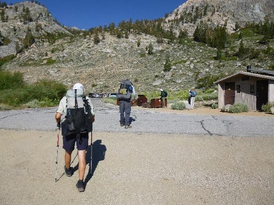
Well it's time for another trip into SEKI for me this year. This time I was joined by Jack Elliot, Justin (a new comer to BPL and a rising star!), Marc Eldridge, Rick Eldridge, Adam Criswell and myself. We all started off on the 4th of July embarking on an 8 hour drive to Onion Valley trailhead. Rick and Marc were gracious enough to drive themselves while Justin and I picked up Adam at the ole In And Out in Manteca. After finally arriving, it was clear, this was going to be a special hike with a fantastic bunch. Campsite secured, we settled down for a good night sleep and the car shuttle move to our destination, Shepherd Pass. A few things struck me on this hike. First, this was the earliest that I have ever been up at this elevation. In years past, the snow would still be melting in the high country, but due to our mild winter, our melt happened much quicker. Secondly, this trip would have the most mildest weather I have ever encountered on a Sierra hike. Highs on Wednesday through Saturday were in the high 70's. Wow! The two things that I personally came away with from this hike was that I could hike effectively with my diabetes. The second thing I came away with is that hiking with my body being much lighter made it much easier…I have lost 35 pounds over the last 8 months. Oh and third….I ate meals 3 times a day plus snacking…I have learned my lesson..eat up!!!!!!!! This trip really pushed my comfort level and I think maybe the others too. The trip was an amazing re-affirmation as to why I love The Sierras so much. Firstly I want to thank Tom Kirchner for his ever so detailed information. The lake that he suggested for us on our last night was fantastic. It had amazing views of The Great Western Divide. Secondly, I want to thank my hiking crew for such great company and memories. THANK YOU!
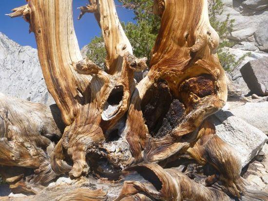
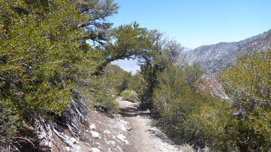
Tree coming up Kearsarge Pass Trail

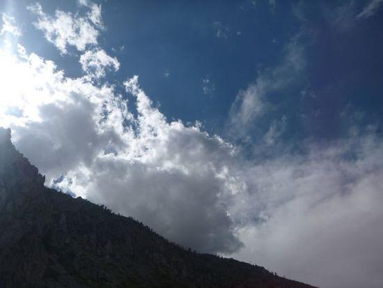
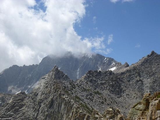
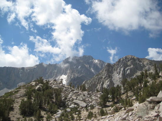
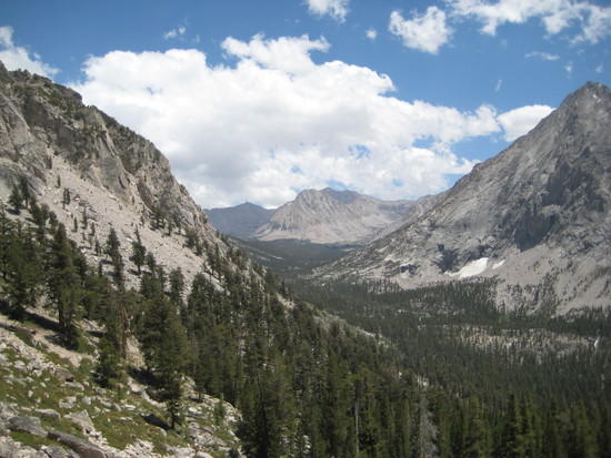
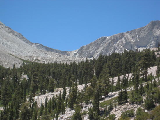
clouds over The Crest….A low came in from Mexico and provided much cloud cover over our whole trip
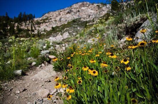
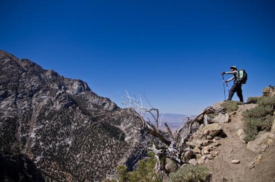
Heart Lake, pretty explanatory. Heading up Kearsarge Pass

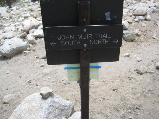
JMT Sign
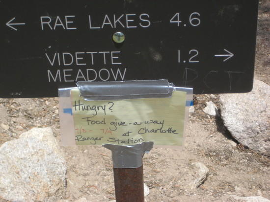
Free Food??? I AM SOOO THERE…Wait! I am not going there…. that is uphill from here….never mind!
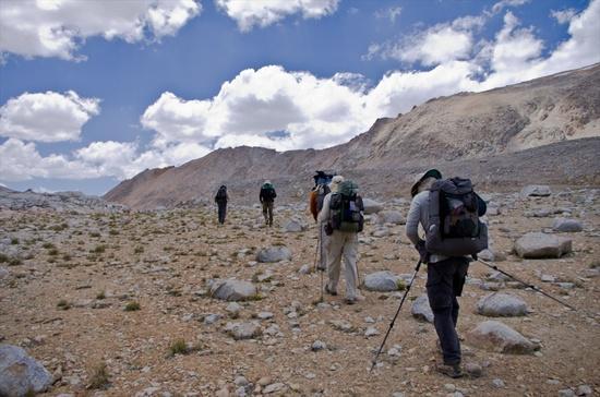
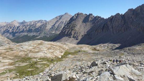
Looking At where we are going…Bubbs Crk. Headwaters
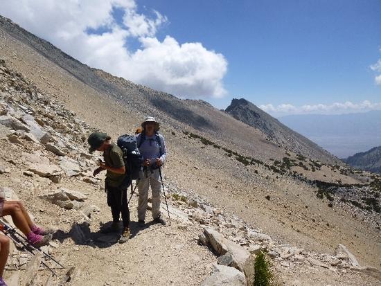
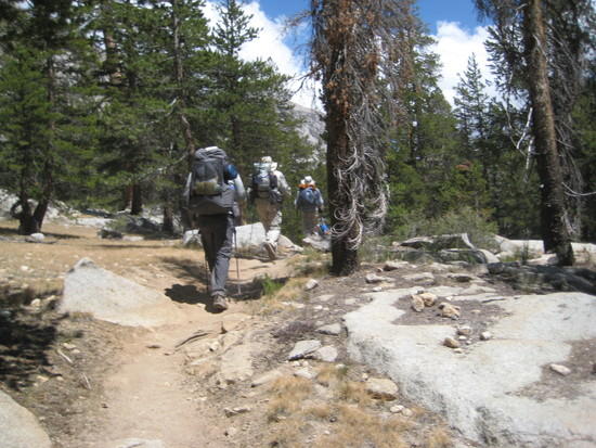
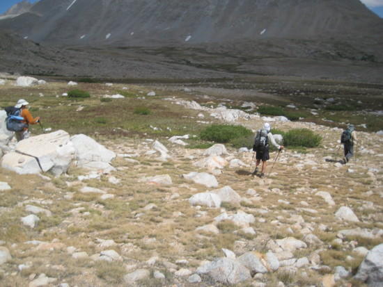
The 3 Crew Challenge heading towards the Center Basin Jct. where we will spend the night
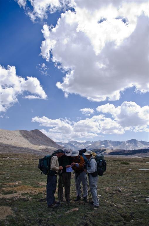
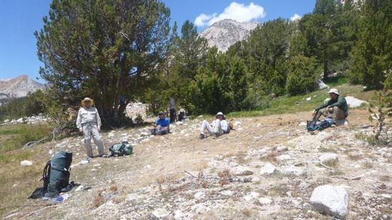
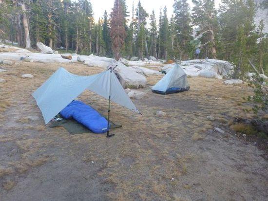
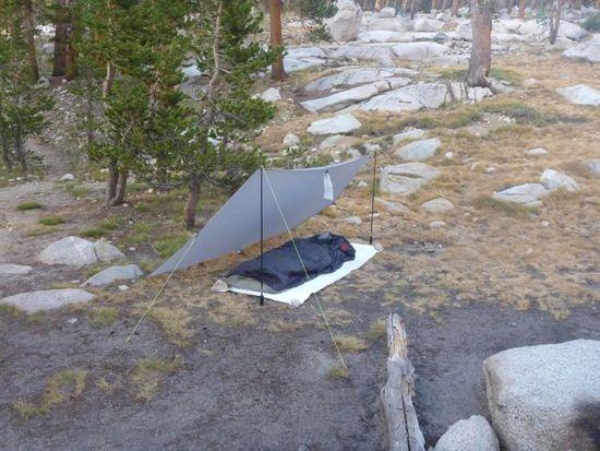
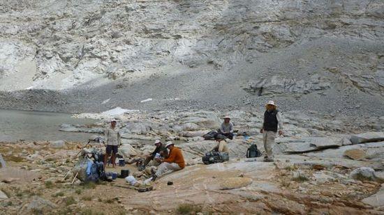
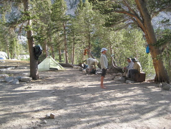
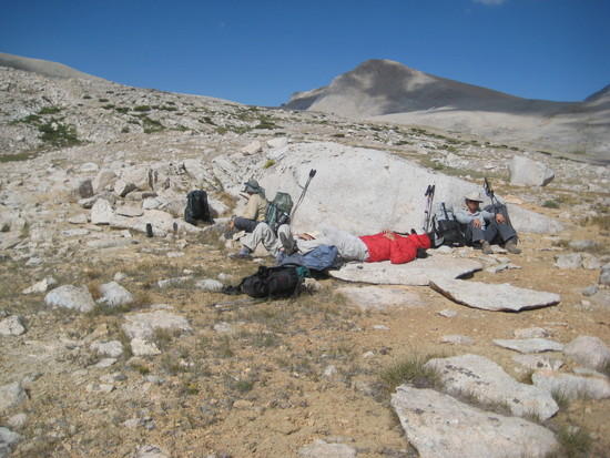
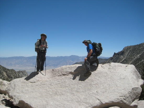
Crew at camp talking the finer points of Cuban fiber
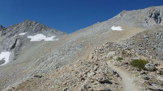
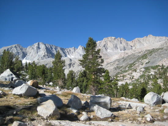
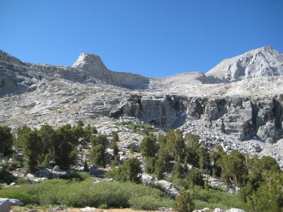
looking at our next days destination…..Forester Pass
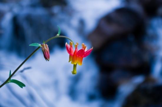
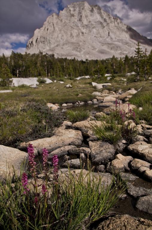
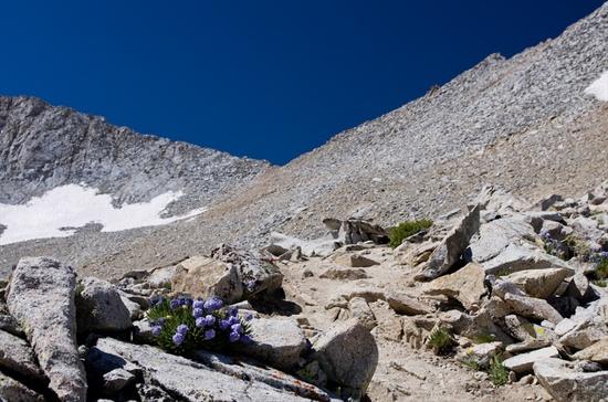
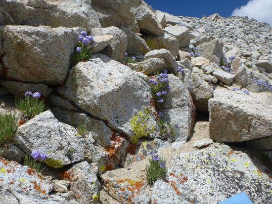
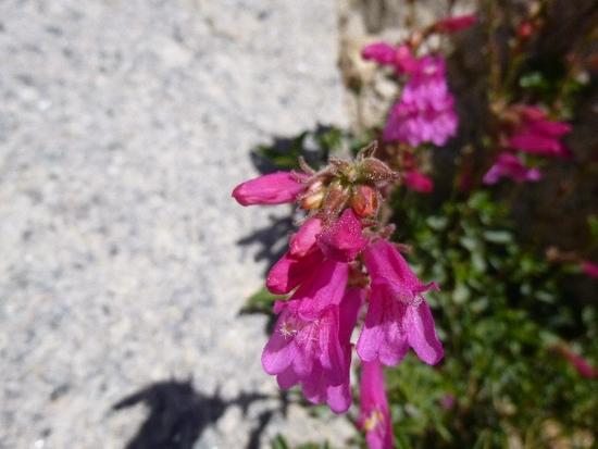
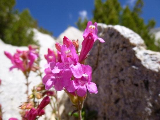
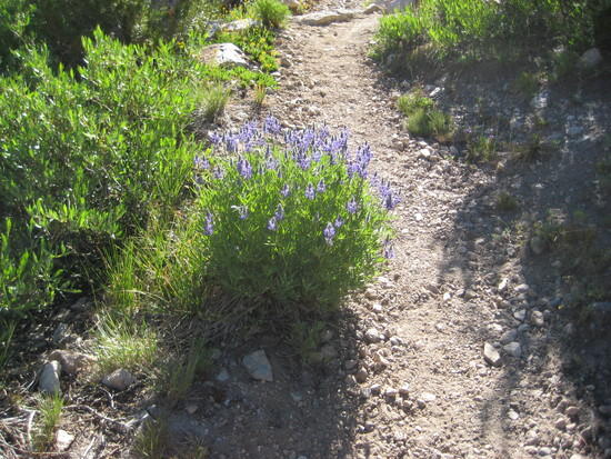
Flowers on the way to Forester Pass
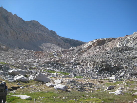
Looking up at where we are going
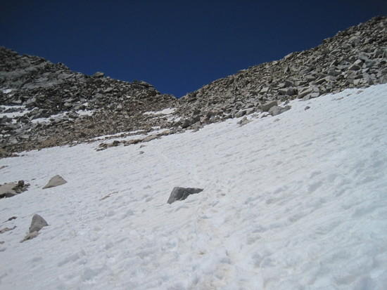
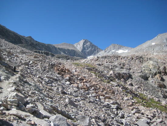
Heading up Forester Pass
Junction Peak
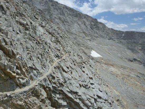
Switchbacks

Doing it punk rock style….
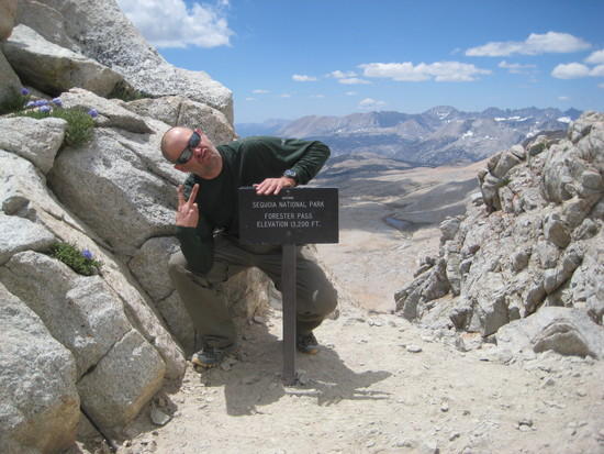
Behind the sign. Looking down
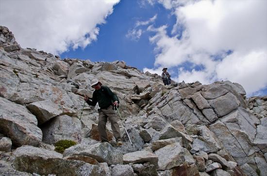
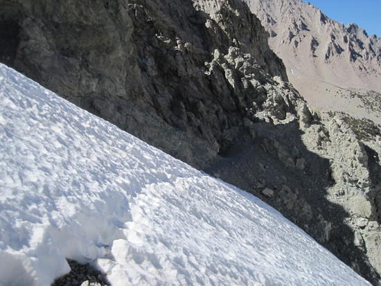
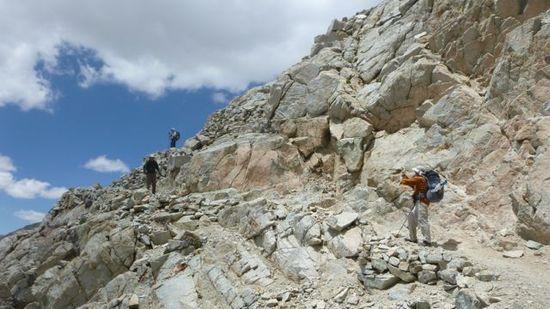
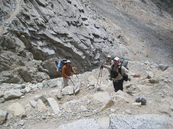
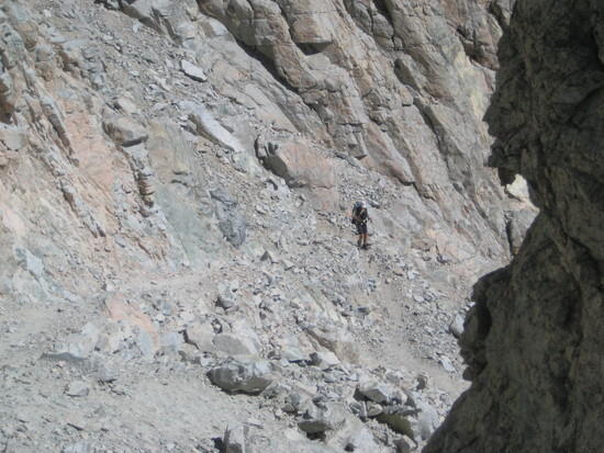
The crew hiking down Forester's south side
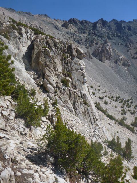
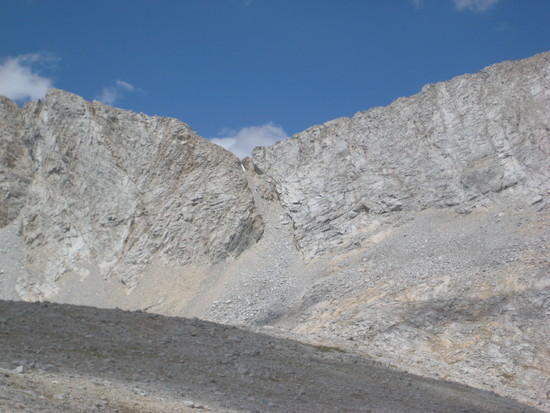
Stark beauty

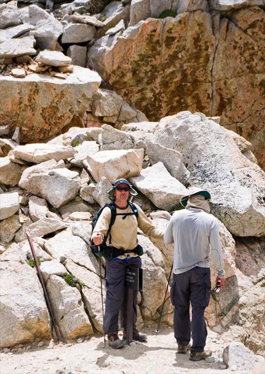
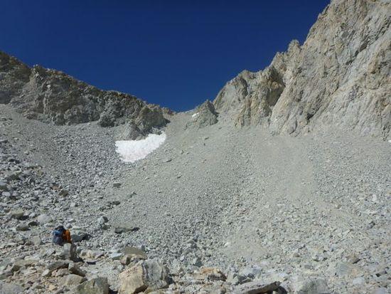
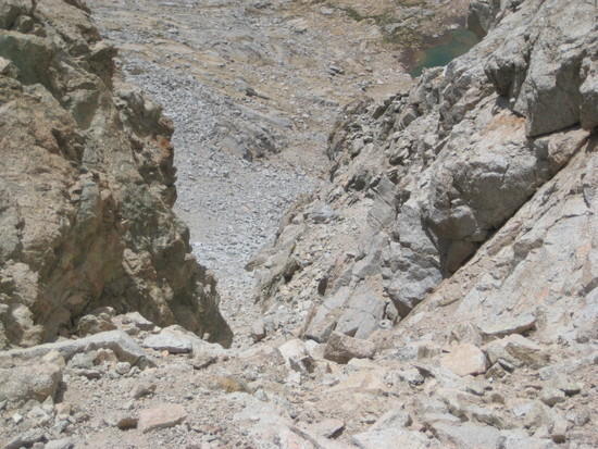
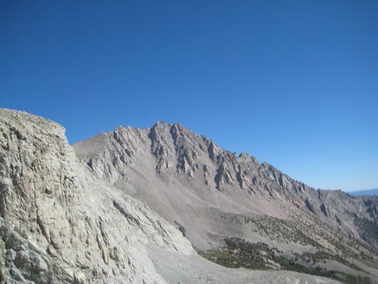
Looking back at Forester…the actual notch is the one in the middle with a little snow in it. It is hard to imagine a pass going through this area. My gratitude to the hard working guys back in the 30's that built this. Your Govt. money hard at work!
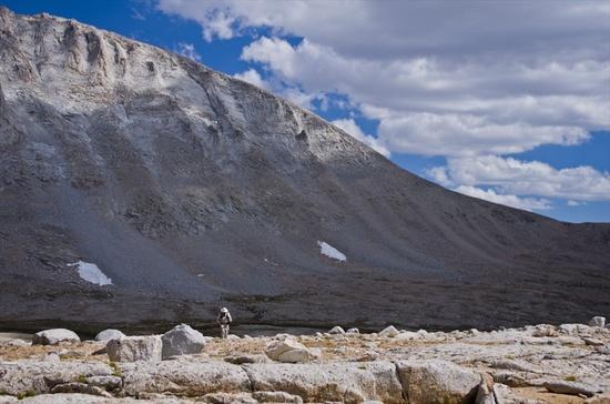
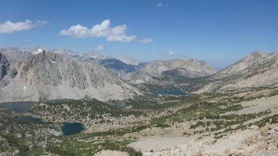
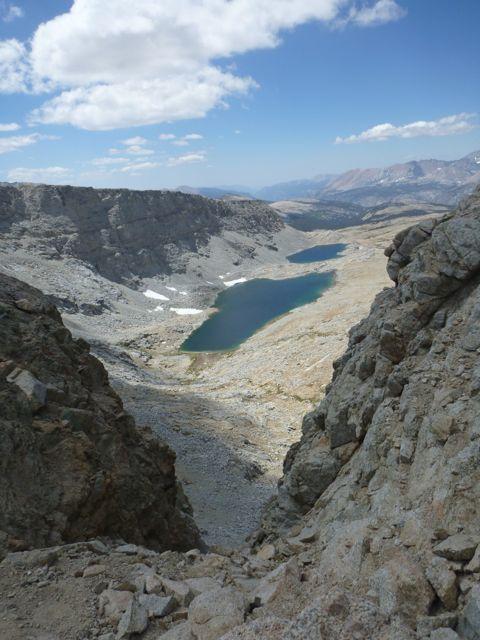
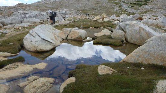
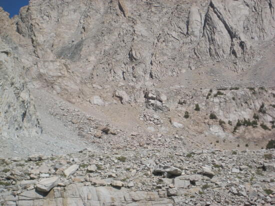
Heading towards an unmaned lake near Diamond Mesa
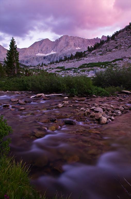
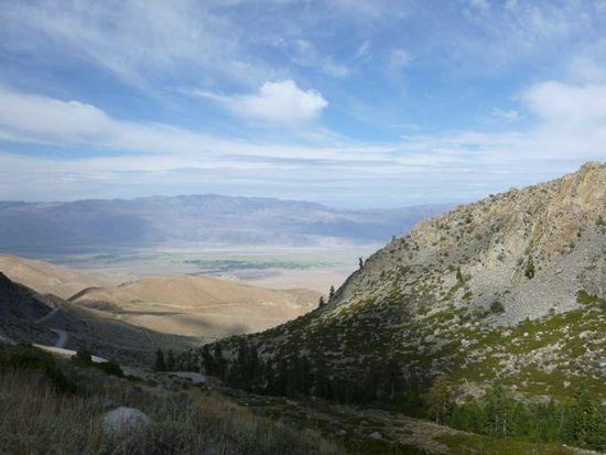
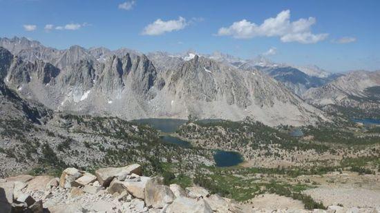
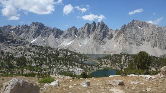
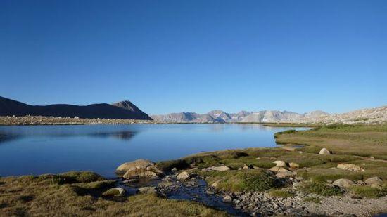
Great Western Divide

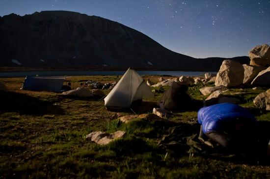
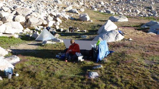
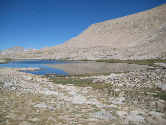
After finding the lake we needed to find shelter from the wind. We opted to stay at this lake instead of Tyndall Crk. Ranger Station. The wind had me a little apprehensive. But as the evening progressed, it died down and we found a nice spot across the lake. We had a great view of The Great Western Divide and a little bit of the Kern Kaweah Div.

Does anyone know the name of the peak in the middle. It looks like a finger pointing up??

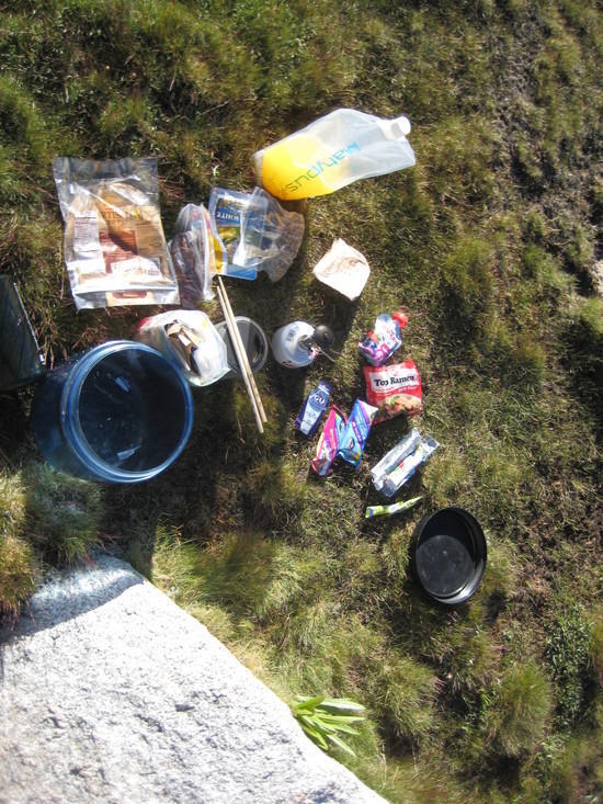
Last days food….I actually packed the correct amount!
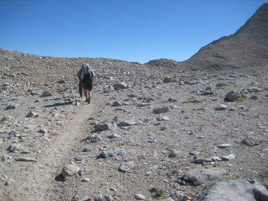
Heading east up Shepherd Pass
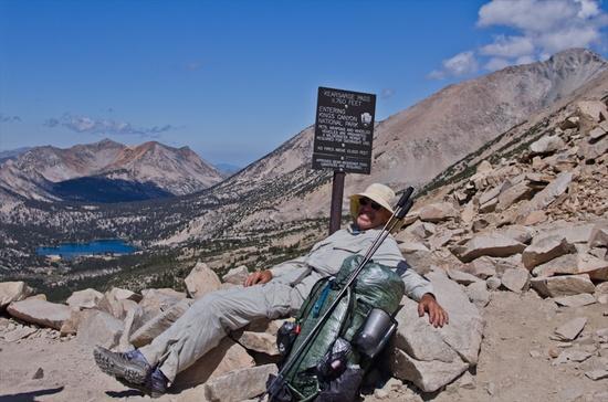
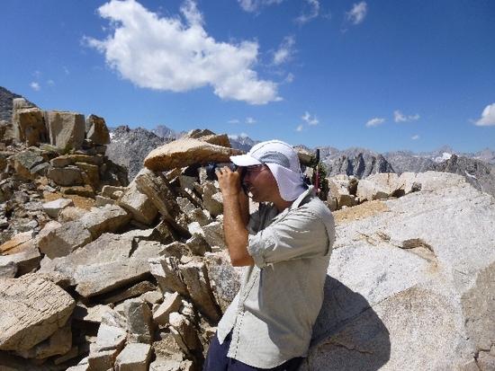
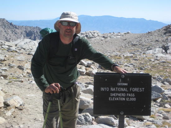
Me at Shepherd Pass
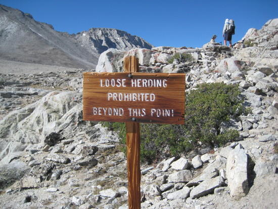
"Stop sign" or "stock sign"…In a few minutes I would be heading down Shepherd Pass and wonder why anyone would bring a horse or cattle up this pass…insane!
Mt. Tyndall

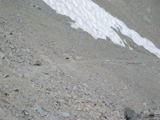
Adam is the first in our group to head down. Sketchy to say the least. Love it!

Funny how grown men become boys when they are in the mountains. Justin and Jack having some fun going down the trail
looking back at where we had come from
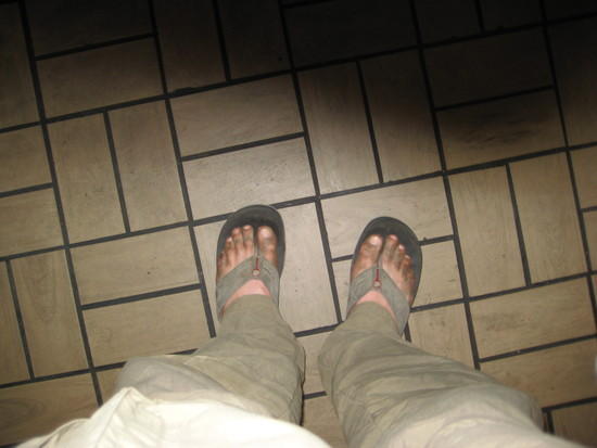
Dirty feet at Carls Jr.
The last day turned into a death march. After coming down Shepherd Pass, we took a break at Anvil Camp and had some lunch and quenched our thirst. The plan was to hike down to Mahogany Flats and get up early Sunday to hike out, beat the heat and get home at at decent hour. Welllll…….. once we got to Mahogany Flats there was only exposed sites with no shade. It was hot as heck so we decided to push on to the next water source which was below the saddle where you start hiking up again. Marc and Rick met up with us and the decision was made to hike out to the trailhead. We started to hike up this saddle and we came to realize that this is the dip where you have to gain 500 feet. Ohhhhh this killed me!!!!!!!!! But soon we gained the saddle and were back to descending. This part would take us all the way back down to the valley floor. After each bend I would start thinking about when will the canyon open up and this hike would end. As we started hiking next to the creek I knew we were close. Then, all of a sudden, I come across the stock/hiker divide trail. As we hike a few minutes I see car rooftops!!!!!!!!!!!! I yelled at huge YEAH!!!!!!!!! Made it!
Post pictures and laughs happend!
Post hike….Since we got out at 5pm the decision I made was to drive home. In turn I would drop off Adam and Justin and be home around 3am…..welllll no.
As we turn onto Highway 395 North, we noticed the heavy traffic heading south. Interesting. Then right before Big Pine the traffic comes to a complete stop. Fire….The highway was closed and they were letting some traffic through escorted. As I look up I see a huge fire in the Taboose Pass region. That is a bummer. We got to Bishop and met Marc and Rick for dinner at Carls Jr. which was my diabetes traeat for 36 miles in 3 days. I did order a much needed salad with my burger just to let you know. The drive was fun and the company was great. I got home at FOUR IN THE MORNING! Wow was I tired!