


EVENT MOVED TO HENRY COE STATE PARK FEBRUARY 17-19 2012
Topic
Become a member to post in the forums.
EVENT MOVED TO HENRY COE STATE PARK FEBRUARY 17-19 2012
here we go again lol
Well the location is fine, but for those traveling from the south that is an added 3-4 hours of driving
jack and i will have to leave thursday instead of friday LOL
but rest assured when the who wants to go list comes up we will be on it hehe
Hey! You can't have two 'annual' events in the same year! :)
I now realize it is past Feb already! Ha Ha- I'm such a …
I estimate this thread will break the record for most pages of any other on BPL.
I am so excited already. Can't wait.
I was thinking maybe we could have a little more gear highlighting, like we talked about. Maybe favorite new gear of the year? Lightest kits? Most innovative? Something like that? It'd also be very very cool if some real, tangible BPL products were raffled off.
Ken T, are we car camping one night and hiking in the next?
I plan on coming. This area will be new for me.
Sam,
Just wanted to say thank you for BPL's & your contribution to the event.
Was really generous of you all to put something into the pot to make the event more fun.
A ton of photos are up now and I have gotten to the point where the Stove Burn Off is now documented.
And yes, this might be the longest, more rediculous thread in history.
I am all for moving it North…maybe some sort of rotation from North, Bay Area-ish, and Southern Cal.
Moving it around might allow people from boarding areas of the State to join…like WA/OR, etc?
-Tony
I like the idea of a new place, but I also like the idea of keeping it easy for SF and LA people to both attend without too much trouble. Henry Coe seemed to work well for that. Big Sur / Ventana would too.
Also, near a major airport seems to be a must based on this year, but I think Cache creek isn't too hard to get to from Sacramento airport.
I leave it in the good hands of Ken and Ken.
EVENT MOVED TO HENRY COE STATE PARK FEB. 17-19 2012
Ken, I like your idea and a new place is always welcomed. For what it is worth I was looking at it from a middle of the state persepective. I know that you have a long drive as well as the Southern CA folks. Just thinking out loud
"estimate this thread will break the record for most pages of any other on BPL"
ahhhh Sam, ya think!
Oh and thanks for donating the BPL gift cards, that was most appreciated!
Ken, I have done some work on this and this is something that could really work. It is not too far away from the Bay Area, and yes it does add to others travel time from the south. But if it is on a 3 day weekend like Presidents' Day Weekend, then this just might work. I wanna look into this more…..
On a side note, I can come up through Napa or Sonoma and do some wine tasting along the way….I like that!
EVENT MOVED TO HENRY COE STATE PARK FEB. 17-19 2012

Which way are you thinking of going in? I don't know this area at all, but what I found on the web was Redbud Trail or Judge Davis Trail, both going to Wilson Valley. Has anyone been in there?
From trip reports posted, it looks beautiful – may be worth missing work for (I'm scheduled for 2 performances that weekend)!
EVENT MOVED TO HENRY COE
Depending
according to yolohiker.org:
Judge Davis trail: "…follow this old fire road all the way to Cache Creek. … Cache creek is impassable during high water, so the creek marks the end of this trail. If the water is low enough, you can get to the Wilson Valley and continue on the Redbud Trail. "
according to calipidder.com:
"The Redbud Trail starts just off of Highway 20 about ten miles east of Clearlake. It is about 2.5 miles to Baton Flat, and there the trail crosses the creek. The flow of the creek is not just dependent on recent rains – it is also regulated via the dam upstream. Because of this the water level is unpredictable. I’ve seen it nearly dry (May 2009) as well as 50 yards wide and chest deep (May 2010)."
This may be alarmist (remember the weather forecast for 9 inches of snow at Coe???) but maybe you can check this out? It sounds like you can get a little ways in to Wilson Valley on the Judge Davis trail before you hit Cache Creek, but if the above is accurate, we might not be able to cross Cache Creek in winter from the west on the Redbud trail, even if the south fork is crossable at Baton Flat.
Woot! Woot! Wilson was my suggestion on that little form thingy!
Some tidbits…
– Is it really 3-4 hours more of a drive? It's closer to I-5, which should make access faster for a lot of people in socal…
– I doubt that there is camping at the trailhead. Don't remember. There is a large group capable campground on the road, down the river though.
– I've also heard of the dam release flow problem in Cache Creek. Don't know enough about it though.
7 month warning.
What? BPL annual extravaganza
When? February 17-19 Presidents' Day Weekend.
Where? HENRY COE STATE PARK
Who? BPLr's and their ilk
Why? Because it's so dang fun!
Comment? Feel free.

Well Damn. With that much of a warning, there's really no reason I can't make this one. Perhaps with another bottle of Japanese Scotch….
That'll make you a repeat offender. Our numbers are growing…
Then I will be a 4 time repeater…………..nice!
I want to see if canoeing in to the campsite is feasible!
Become a member to post in the forums.
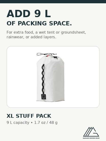 XL Stuff PackLightweight stuff pack designed to secure to the top of your backpack for carrying wet gear, extra food, rainwear, or layers.
 © Beartooth Media Group Inc.
 Loading...