Episode 132 | Satellite Messenger Weather Forecasts

Episode Summary
Ryan Jordan explains how satellite messenger weather forecasts work, what data providers power them (Vaisala Xweather for ZOLEO and meteoblue for Garmin inReach), how global models get downscaled to your exact location, and how to interpret the results in real terrain. Use these tools as probabilistic guidance, not guarantees, and integrate them with field observations for safer decision-making.
Listen Now
together with Vaer

Today’s episode of the Backpacking Light Podcast is sponsored by Vaer Watches. A Vaer watch is an expedition-worthy, made in the USA, reliable, rugged, and beautiful timepiece that earns its place on your wrist and in your gear kit.
Show Notes:
Chapter Markers
- 00:00 Sponsor pre-roll – Vaer Watches
- 00:43 Host intro
- 00:56 News & Events – LNT livestream (Sep 17) + Unlimited member perk
- 02:06 Newsletter promo (why it’s different; what you’ll learn)
- 03:31 Sponsor segment – Vaer C5 Tactical Field Solar Watch
- 05:01 Feature starts – Why forecasts matter in the backcountry
- 09:17 How satellite forecasts are created (NWP → provider downscaling → device/app)
- 12:44 ZOLEO + Xweather: workflow, “hyperlocal” claims, costs, pros/cons
- 16:17 Garmin inReach + meteoblue: multi-model blending, package, costs, pros/cons
- 19:40 How point-location forecasts are built (interpolation, lapse rates, orographic precip, wind adjustments, DEMs)
- 29:12 What this means in the field (trends vs. hyperlocal events; “100 m” claims)
- 30:21 How to read forecasts: temps, precip probabilities, winds, cloud cover
- 38:58 Outro + CTAs (LNT, show notes, membership)
Key Takeaways
- Models behind your forecast: GFS (~13 km) and ECMWF IFS (~9 km) feed providers who downscale/interpolate to your coordinates.
- Providers & devices:
- ZOLEO → Vaisala Xweather: downscales from global models; “hyperlocal” presentation in app; weather requests count as one message.
- Garmin inReach → meteoblue: multi-model blend; standardized 8-day package; marine data included where relevant; weather requests count as one message.
- Limits to expect: Satellite bandwidth forces text-only, simplified outputs. Treat values as central estimates, not certainties.
- Interpretation tips:
- Temps: Expect ±5 °F variability with terrain and aspect; valleys drain cold air at night.
- Precip: A “30% chance” = 30% probability of measurable precip in the period (low confidence).
- Wind: Gusts often ~40% higher than sustained speeds; direction changes are more reliable than speed magnitudes.
- Cloud cover: >60–70% usually means reduced daytime heating and less nighttime cooling.
- Professional mindset: Plan for the worst reasonable case, and constantly reconcile the forecast with real-time observations (sky, wind, clouds).
Links & Mentions
Featured Gear
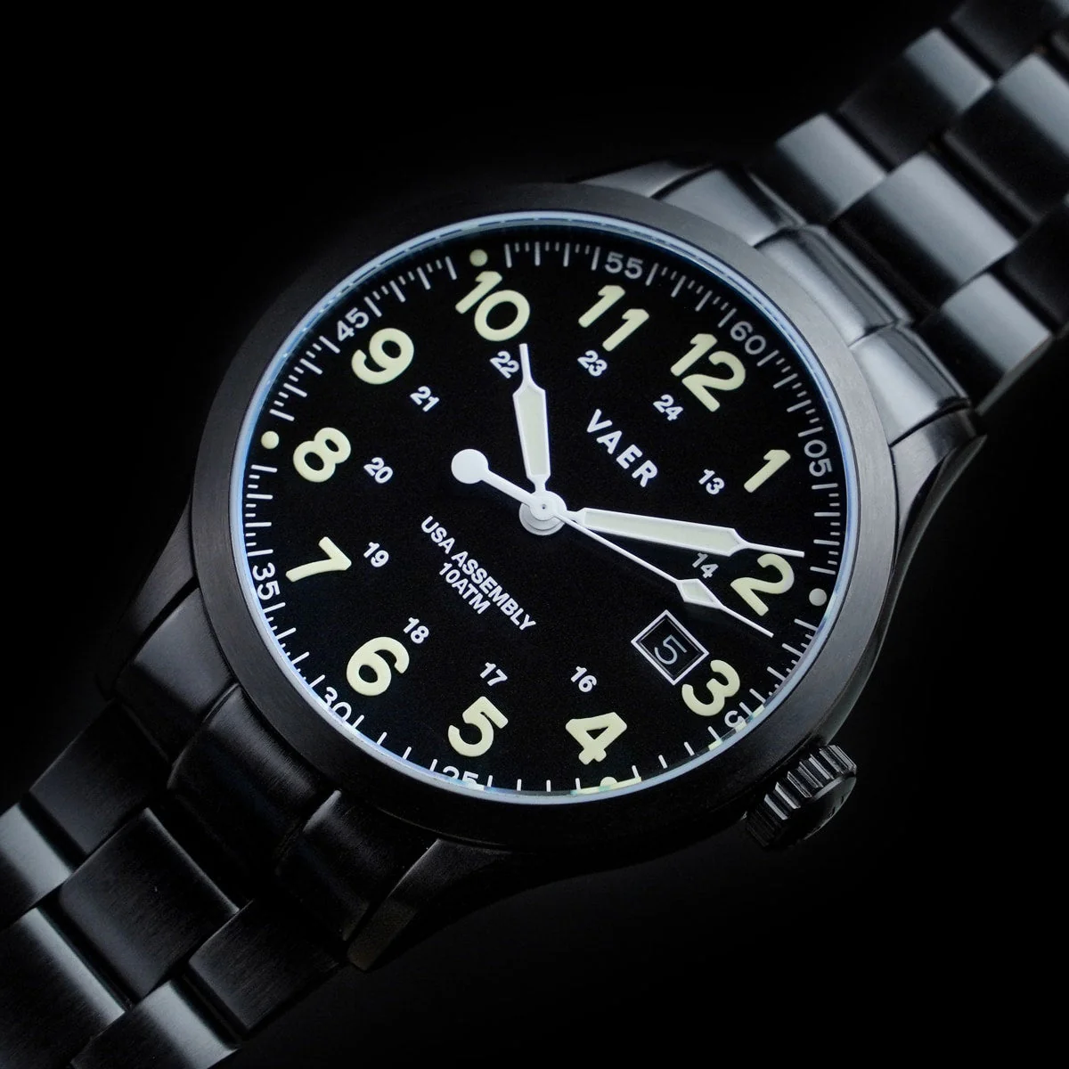
The Vaer C5 Tactical Field Solar features a sapphire face cover, 316L stainless steel body, and a Japanese Epson VS-42 solar-powered movement that provides up to six months of power reserve at high precision. The watch is water-resistant up to 10 ATM (100 meters), offers a blacked-out aesthetic with exceptional lume performance, ensuring readability in low-light conditions.
Featured Events
Leave No Trace — What recent recreation ecology tells us about LNT best practices (Livestream, Sep 17, 2025)
- Enrollment Info
- Unlimited Members: access included. Learn more about membership.
Get the Newsletter
Our newsletter isn’t just marketing — it’s a unique part of our content ecosystem that often breaks news first on gear, tech, and philosophy before it hits articles, guides, podcasts, or courses. It’s free, quick to join, and designed to make you a smarter, more confident hiker.

Discussion
Become a member to post in the forums.
Companion forum thread to: Episode 132 | Satellite Messenger Weather Forecasts
In Episode 132 of the Backpacking Light Podcast we talk about satellite messenger weather forecasts.
on an inreach, if you send “wxnow” to wx2inreach@gmail.com it will send back a message with the weather for the next week
it must use the noaa forecast. for the location you sent the message from
I have it set as one of my presets so I only have to pay for the return message with the weather
Thanks! This is one of the most informative podcasts for me. I’ve always suspected that’s kinda sorta how they worked, but glad to know the details. (I use an inReach frequently in the backcountry, where I’m not only far from cell coverage but far from any weather stations at all.)
Thanks Phil!
wx2inreach (“wxnow”) uses NWS data, which for point-forecasts, should offer terrain-adjusted accuracy. Probably not as statistically comprehensive as meteoblue, but likely reasonable.
Another option is mgrey, which like wx2inreach also offers some unique instructions you can send with your message to request a more tailored forecast, and for those of you in Scandinavia, accesses weather data from MET.
I was on a trip where wxnow said there was a 30% chance of rain on each of Tuesday night, Wednesday, and Wednesday night.
What actually happened was steady rain Tuesday night and Wednesday, early Wednesday night it stopped raining quite a bit worse than the forecast.
On the other hand, it didn’t rain all the days the forecast said there was 0% or 10% chance of rain.
The forecast is useful but not perfect.
There’s a similar error for Max and min temp.
Jerry – there’s a lot of misunderstanding about what that 30% actually means, I discussed this briefly in the podcast episode:
So in this context: was the forecast actually accurate?
I’d argue that the inacurracy of the forecast was that it actually rained on Wed morning, and the forecast (I assume) was 0% rain on Wednesday during the day.
Yeah, that’s my understanding.
There’s a 30% chance of measureable rain on each of of Tuesday night, Wednesday, and Wednesday night.
Actually, there was measureable rain on each of those three periods.
I have no problem with that innaccuracy, that’s just how good we are at predicting.
When i look with my PC, it also says how many inches of precip are predicted, that’s even more useful.
During the day, if it rains less than 0.1 inch, then it doesn’t much matter.
During the night, if it’s more than about 0.01 inch I’ll put my tent up. So the percent chance of measureable rain is probably just what I want
Thanks for this incredibly informative episode. I’ve been using an InReach since 2015 (back when it was owned by DeLorme) and I’ve never heard a more detailed description of how these forecasts work. There have been a couple of times pulling a weather report on a trip changed our plans, and now I know more about how to read the forecasts from my InReach.
Become a member to post in the forums.