Topic

Wind Rivers questions

Viewing 25 posts - 26 through 50 (of 50 total)
John Vance BPL Member
PostedJul 14, 2016 at 10:18 pm

Sorry, I was referencing Bonneville Lake 10,828.  The col I have been over is located at the north end of East Fork that drops down to Sheila Lake – 11,015.  I have not traversed the ridge between East Fork and Baptiste.

The East Fork side has always appeared to be a feasible route and looking from the Baptiste side when I was last there two years ago, it seemed a more plausible route to the ridge.  The big “if” would be the short traverse along the ridge linking the two to get up and over.  Both sides seemed to be the most difficult just below the ridge but based on similar terrain and contours in other areas I would say it is plausible.

i have had to turn back from routes that at first blush seemed a likely possibility, and I have also gotten through when it seemed impossible.  I always enjoy the adventure regardless.

PostedJul 15, 2016 at 4:32 am

Thanks for the clarification John. I think I’m gonna try that proposed route. As you said, the contours between the East Fork/Sheila Lake col and the Sheila/Baptiste col don’t look too bad along the north side of the ridge running west from peak 12,229. The crux may be how to get down to Baptiste from the Sheila/Baptiste col, but going SSE immediately after that col and then NE from there to the gradual slopes south of Mount Lander looks to be the most feasible route.

Brad Rogers BPL Member
PostedJul 15, 2016 at 8:11 am

I too was looking at the wrong pass. The one you are looking at looks possible though the base map is partially obscured by the thick red reservation boundary.

Please report back on your findings and stay safe.

PostedJul 16, 2016 at 10:00 am

Thanks for the help John and Brad! I’ll be in the Winds in two weeks, so I’ll let you know how it went when I get back.

PostedJul 31, 2016 at 10:39 pm

Not to hijack, but heading to Dickinson Park TH on Aug 20th.  Hoping to go over Washakie pass, into the basin under Pyramid Peakj/Midsummer Dome, down and over to Shadow lake, up Texas Pass and into the Cirque, then out Lizard Head Meadows back to Dickinson Park.   Any reports from this area recently?

Brad Rogers BPL Member
PostedAug 1, 2016 at 7:04 am

No recent report but we will be close to that area about the same time. We are starting at Big Sandy and going north to Middle Fork Lake, through Bonneville Basin over Bonneville Raid Col into Desilation Valley then over Hailey Pass cutting up the valley and going over the pass to Macon Lake Pass then past Washakie Lake over Illinois Pass and Texas Pass into the Cirque then out Jackass Pass and back to Big Sandy.

You might try the outdoor shop in Pinedale. They generally have good reports. Have fun!!

Sean B BPL Member
PostedAug 3, 2016 at 6:49 am

What is everyone using for weather forecasts? I am seeing varying lows for the wind river range using google search (the weather that displays on google page if I search wind river range weather), climbing weather, NWS, NOAA, etc. If you don’t mind linking where you think is the most accurate that would be great. I am seeing everything from lows in the upper teens to low 40s. I will be prepared for the lowest possible but want to know what I should expect.


Thanks.

Brad Rogers BPL Member
PostedAug 3, 2016 at 7:17 am

For long range planning I use the average temps for Pinedale ~7200ft and subtract 3.3*F for each 1000ft in elevation. As it gets closer I use the Accweather long range forecast for Pinedale (it goes out for over a month- how you do that with any accuracy I don’t know) and use the same subtraction method. When it gets close enough I have had good luck with the NOAA pinpoint forecast that will give you a forecast for any area you click on the map. It is already adjusted for elevation.

I have had low temps as high as 45 and as low as 20 the last week of August and know it certainly can get colder. I would be prepared for at least 20*F depending on the elevation.

Sean B BPL Member
PostedAug 3, 2016 at 10:19 am

Thank you Brad. I am planning for lows of 20 or below (I have a WM 20 bag I am bringing) but hoping for low 40s at night. I will check out the NOAA pinpoint.

Randy Nelson BPL Member
PostedAug 4, 2016 at 12:34 pm

Heads up. Fires restrictions are now in place in the Winds. That should mean no alky or esbit stoves based on the wording and it definitely means no twig stoves. 5 years ago there were restrictions in place and I called the ranger station and they said alky stoves were OK. I was very clear about it and they said, yes, they could be used. I suggest calling if you have any questions. You’ll notice these 2 have different wording for stoves. I’m going into WRIR where there currently are no restrictions but they said to call back and check just before my trip.


http://www.fs.usda.gov/detail/btnf/news-events/?cid=FSEPRD512921

http://gacc.nifc.gov/gbcc/dispatch/wy-tdc/documents/information/education-prevention/restrictions/BT_Order_0403-561.pdf


PostedAug 8, 2016 at 8:36 am

I’ve read several old threads on the subjects of bear cans vs hangs, etc.  Having trouble deciding if a hang is feasible in the area I’m planning (see post above), or if I should spring for the extra $ and weight of a Vault.  Thoughts?

Sean B BPL Member
PostedAug 8, 2016 at 8:42 am

My understanding is bear bags can be hung from rock faces in the WRR and this is what most people do. That said, based on the pictures I have seen of peoples “bear hangs” they are poorly executed and are certainly not legal according to the regulations (see Exhibit A, 3C for proper food hang here http://www.fs.usda.gov/Internet/FSE_DOCUMENTS/fseprd506953.pdf). I am mostly referring to the 4ft away from the structure part.

I am bringing a BV500 on my trip next week.

Randy Nelson BPL Member
PostedAug 8, 2016 at 1:34 pm

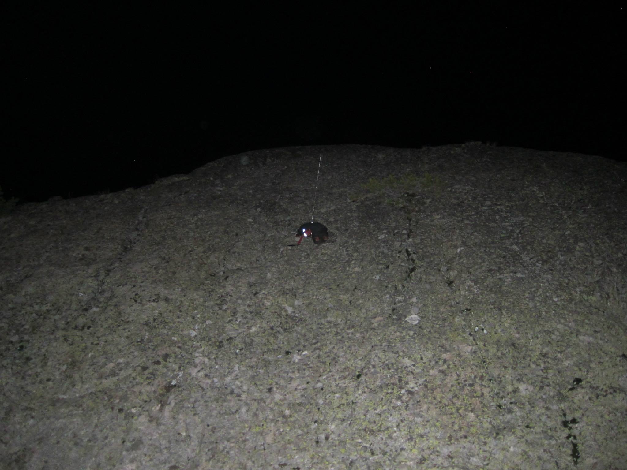
I’ve done rock hangs a couple of times but usually do tree hangs. For the most part, you’re either going to be around trees or some big rocks. It sometimes takes a bit of looking to find good trees but I keep that in mind when considering campsites. And I need 2 trees for the first part of a trip. I hang my food bag and my dog’s pack with his food separately. Too heavy to do both together. Personally, I only use a bear can when it’s required. Here’s a rock hang from a few years ago.


Brad Rogers BPL Member
PostedAug 8, 2016 at 5:03 pm

My first trip to the winds I hung my food, but it wasn’t always easy and I am not sure my hang was always bear “proof”.  My last couple of trips I have brought a canister.   Most of my camps are at 10,500-11,000feet and trees are few and far between, at least ones that I could hang on.  I used rock faces most of the time and by the end of the week, my food bag (z packs blast) was fairly abraded from the granite.

You can hang if you are willing to seek out the right spots and it does save you the weight, or you can carry the weight and camp wherever you want.  Nothing wrong with either method.

For what its worth the only bear sign I have seen was some scat at Ranger Park.


PostedAug 11, 2016 at 1:15 pm

Sorry, one more quick question:  When planning on starting the Bears Ears trail, at Dickinson Park TH, can you camp there, at the TH overnight, or must one go south to the campground?

PostedAug 11, 2016 at 3:12 pm

Aimee,


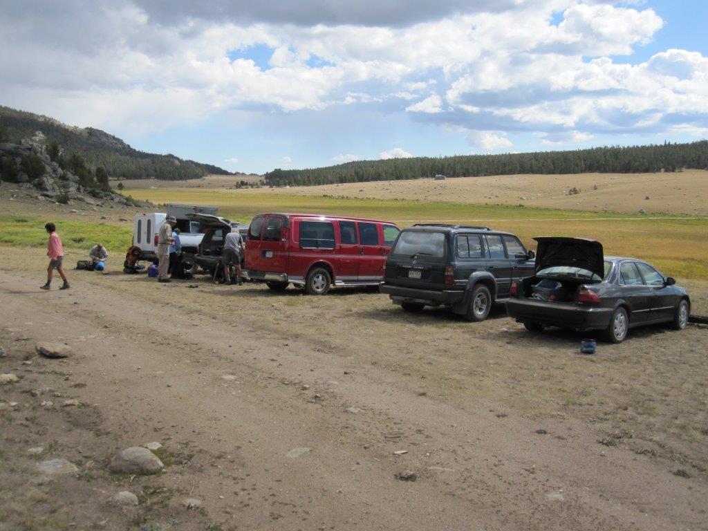
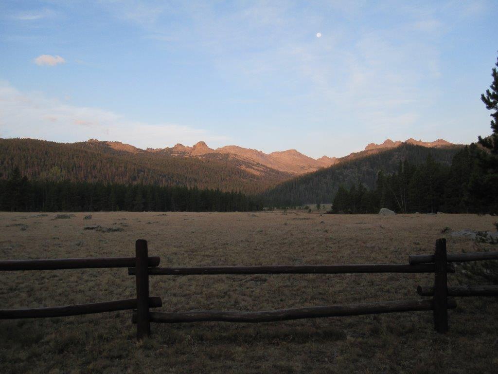
I’m not sure about the legitimacy of camping at the trail head but it is doubtful anybody would be there to kick you out :)  There is plenty of flat ground next to the parking area.  As I recall the land on the other side of the parking lot is forested.


Edit to state that this photo and the above description describes and shows the Smith Lake TH, not Bears Ears TH.


The nearby campground is pleasant enough and the views are nice.  If memory serves me correctly there is no available water and the cost was $0.  There was also a food storage locker.


In case you have not investigated the Wind River Indian Reservation requirements, i.e., driving to the trail head, you should review this old thread:  https://backpackinglight.com/forums/topic/59790/

PostedAug 14, 2016 at 3:02 pm

Aimee,


My apology, I added some confusion to the discussion.  The photo shows the trail head at the end of the road where the Smith Lake trail starts.  I have not traveled the Bears Ears Trail.  I will try to edit  my previous post.


PostedAug 14, 2016 at 5:02 pm

Thanks.  I have some very specific questions I would like to ask  someone who has started at the Dickinson Park trailhead and traveled to Valentine or Dutch Oven lake. If someone has, would you please PM me so we can talk?

Sean B BPL Member
PostedAug 19, 2016 at 4:43 pm

Just got back to SLC after spending Sat- Thurs in the WRR and it was unbelievable. I will try to post some pics in the trip report forum in the next week or so. Thanks to everyone on this thread (and others) for the information provided. I’ll definitely be heading back.

Randy Nelson BPL Member
PostedAug 21, 2016 at 9:23 am

Glad you had a great time Sean. Have a good trip Brad. I’m still 3 weeks away from mine. Wish it was tomorrow.

Brad Rogers BPL Member
PostedSep 9, 2016 at 7:31 pm

Just to report back I had a great trip and we went over 9 passes (6 off trail).


Randy Nelson BPL Member
PostedSep 9, 2016 at 8:51 pm

Nice! We’re leaving in the morning to drive up. Looks like it could get pretty chilly. As long as there’s less rain than last year, I’ll be happy.


Brad Rogers BPL Member
PostedSep 9, 2016 at 9:09 pm

It was much drier than I remember in 2014 or 2012.  We got some snow showers but overall had good pretty good weather.  We had some nights in the twenties, but nothing too bad.


I hope you have a great trip!

Viewing 25 posts - 26 through 50 (of 50 total)
Loading...