Joshua Tree: California Riding and Hiking Trail 37.5 miles
Link for Tom Harrison Joshua Tree National Park Map
https://www.nps.gov/jotr/index.htm
Joshua Tree National Park Website
March 16th to March 18th, 2018
Daytime Temperatures: 60F to 40F
Night Time Temperatures: 35F to 28F
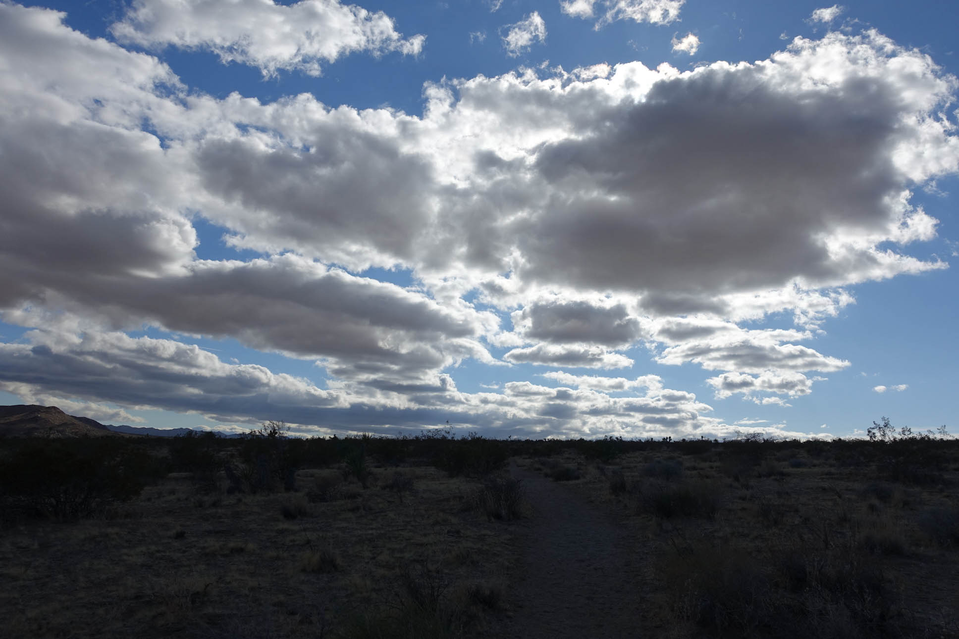
Sunny to Overcast with Cool Daytime Breezes that required wind shirt and gloves while hiking
https://backpackinglight.com/forums/topic/joshua-tree-crht/
Link to Jeremy’s Trip Report
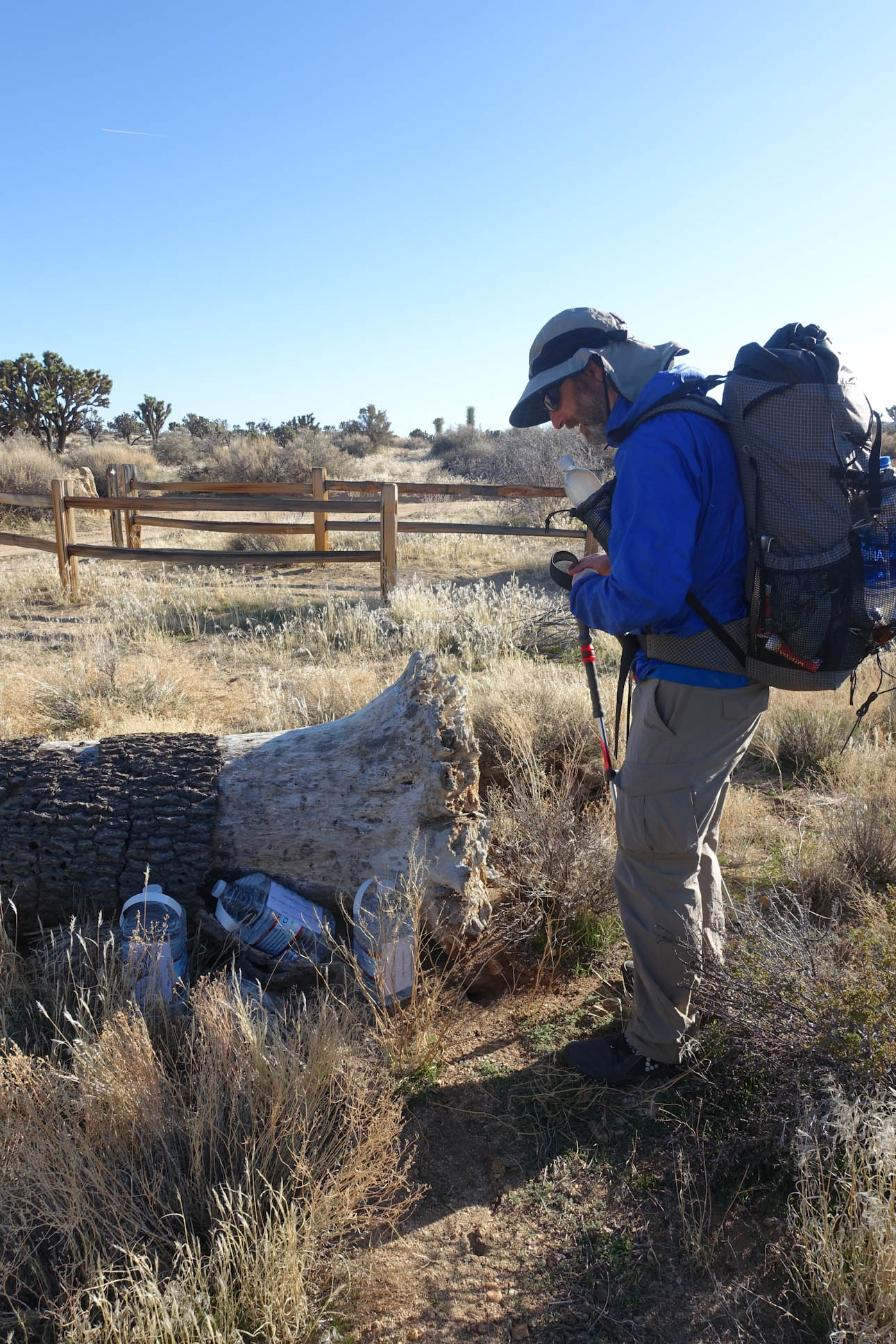
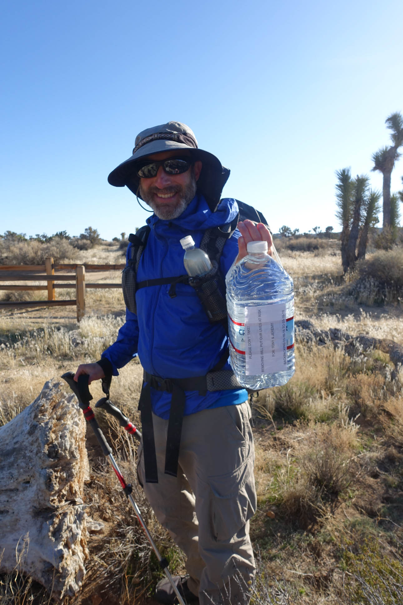
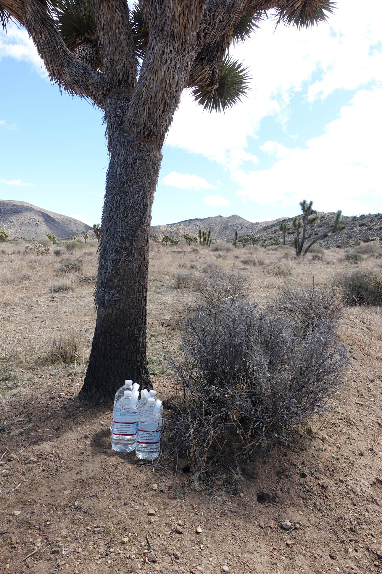
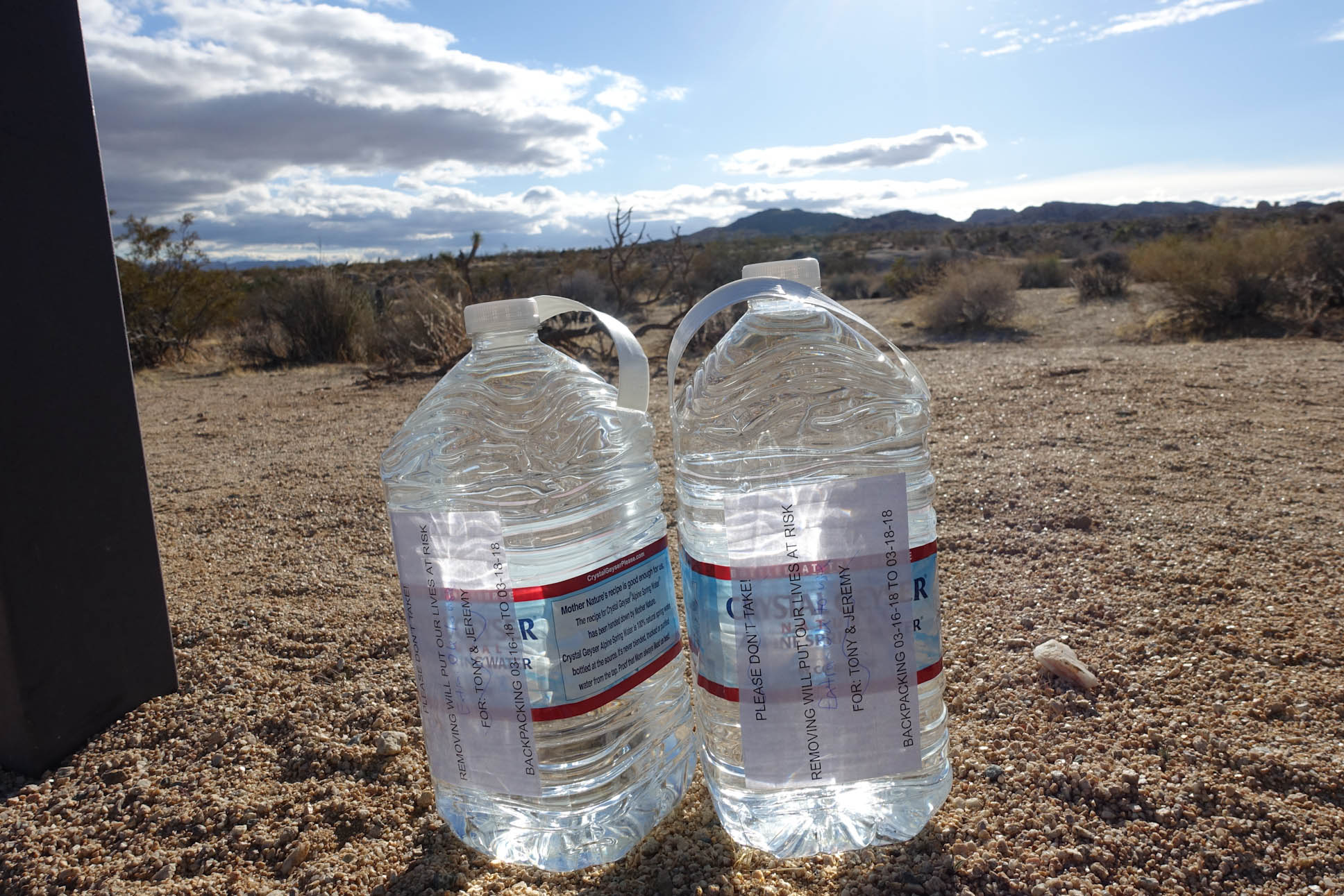
Jeremy recaps, “There’s no water on the trail, so the next morning, we dropped caches along the route. After an awesome breakfast at Country Kitchen in Joshua Tree. We ended up dropping three caches. One at Upper Covington Flat (taking the La Contenta Road about 7 miles to get there), one at Key’s Road, and one at the road that goes south to Cottonwood Springs. Then we drove to the North Entrance, left the car, and took an Uber back to Black Rock Campground, where the trail began.”
Day 1, starting at around 2pm, we hiked about 10 miles. The weather had been nice the day before, but it was pretty windy and chilly. I think high temps for the day were around 60 F. (Per Jeremy)
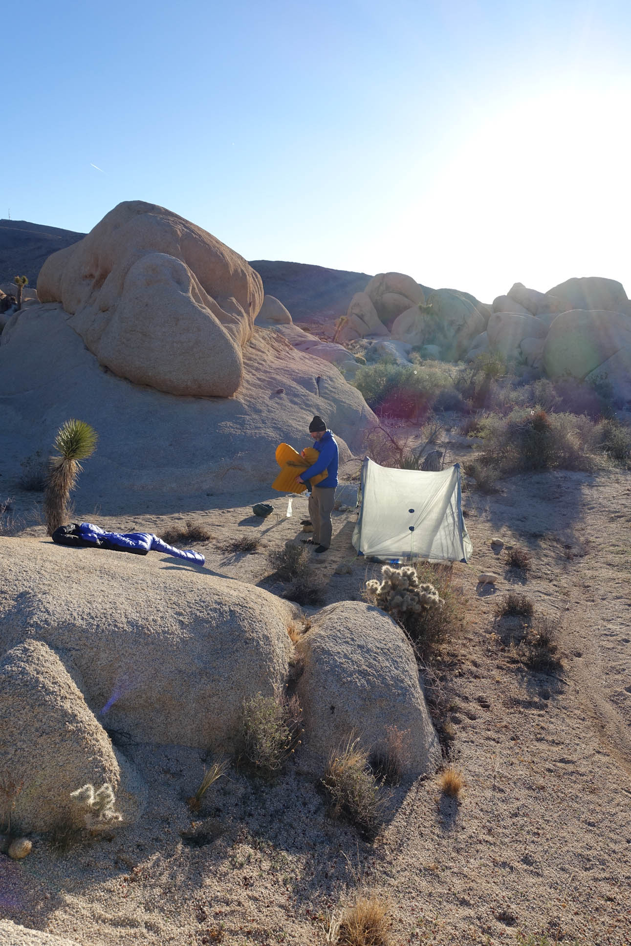
Black Rock Trail Head 1:18pm on March the 16th
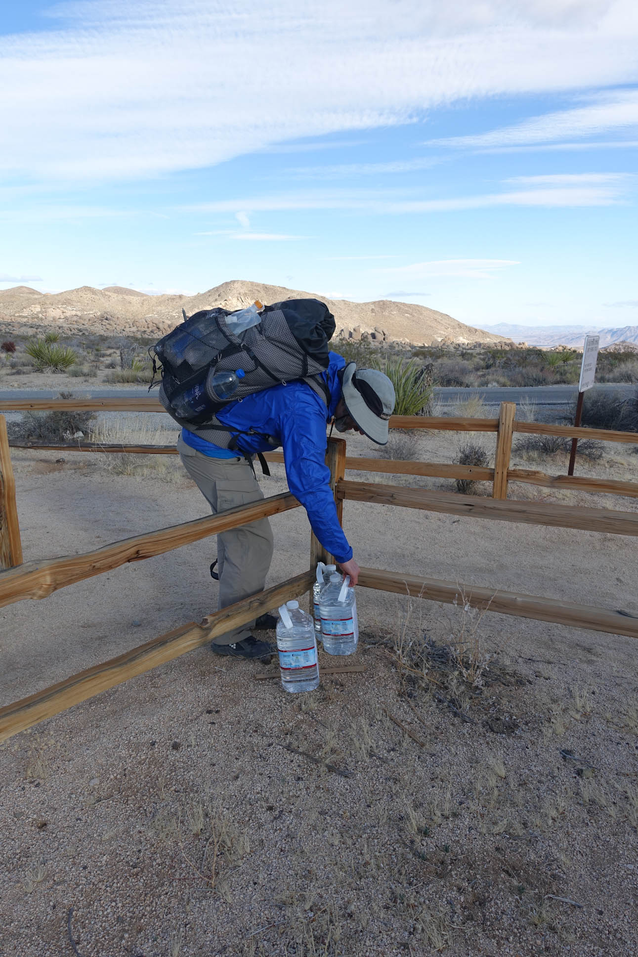
After driving around to drop off 12 gallons of water over 3 caches, we took an Uber ride from the North Entrance to the Black Rock Trail Head. We drove to the Visitor’s Center just outside the North Entrance where Jeremy was able to get a cell phone signal to summon an Uber driver who followed us into the park where we parked my car at the backpacker’s dirt parking lot at the North End of the trail. This worked out great for us as the Uber ride cost us about $35. We had seen a taxi cab in town that was charging $2.50 per mile. Probably saved us a good $40-$50 by taking Uber. Our driver, Greg , was a real character who arrive in an older Saturn car. Full of charm and easy to laugh, he gave us an informal tour of the surrounding area that we drove by on our way to the trail head.

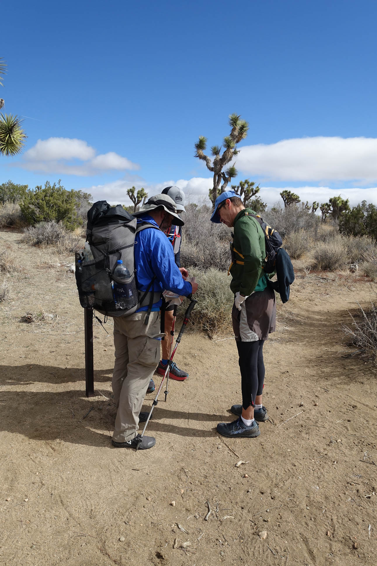
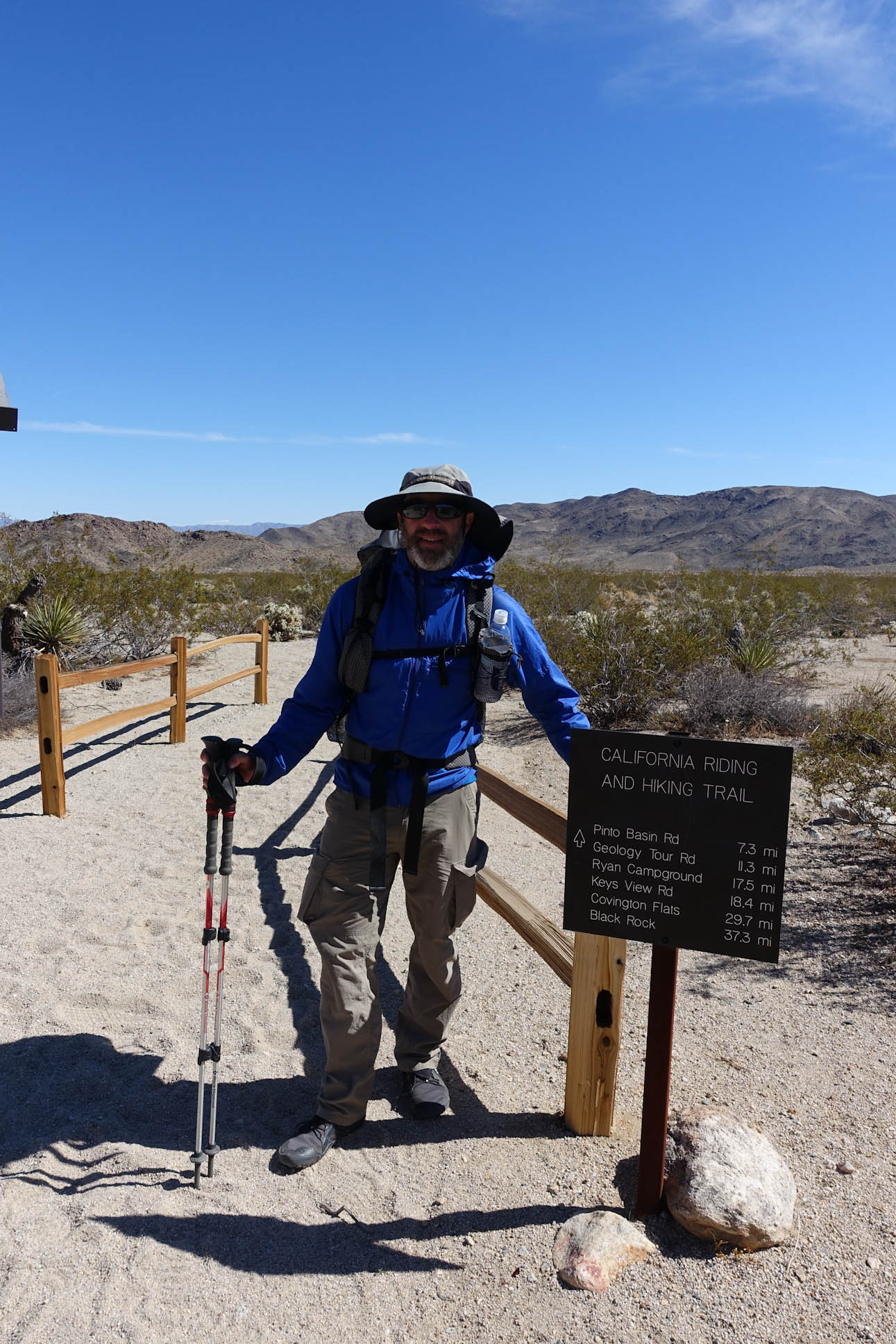
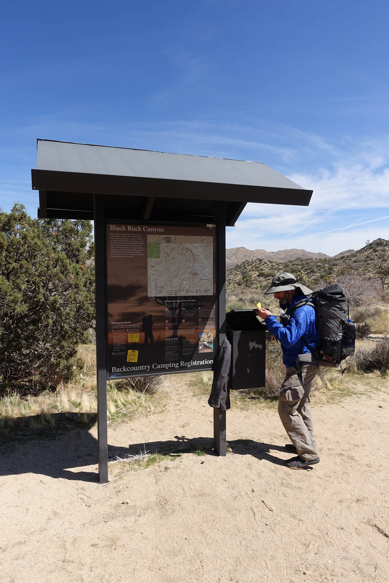
Waiting to get onto the trail
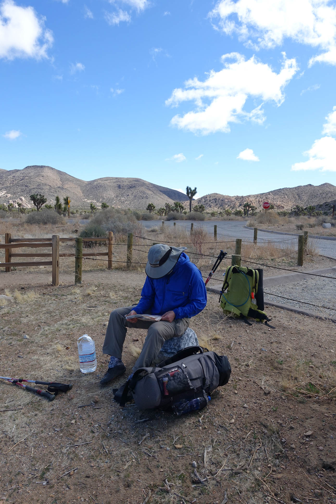
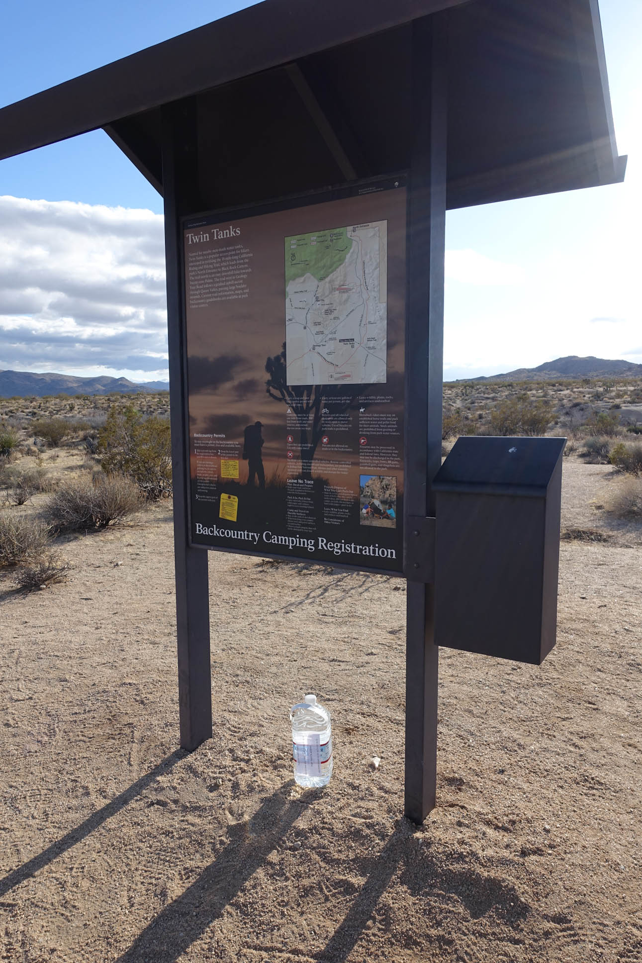
After we filled out our permit and checked with the Ranger’s Station to see if my car might get towed away, we were ready to hit the trail. (we forgot to get a permit/tag on my car. We were assured that as long as the permit we filled out had my license plate on the registration and park entrance fees had been paid, we would be fine).

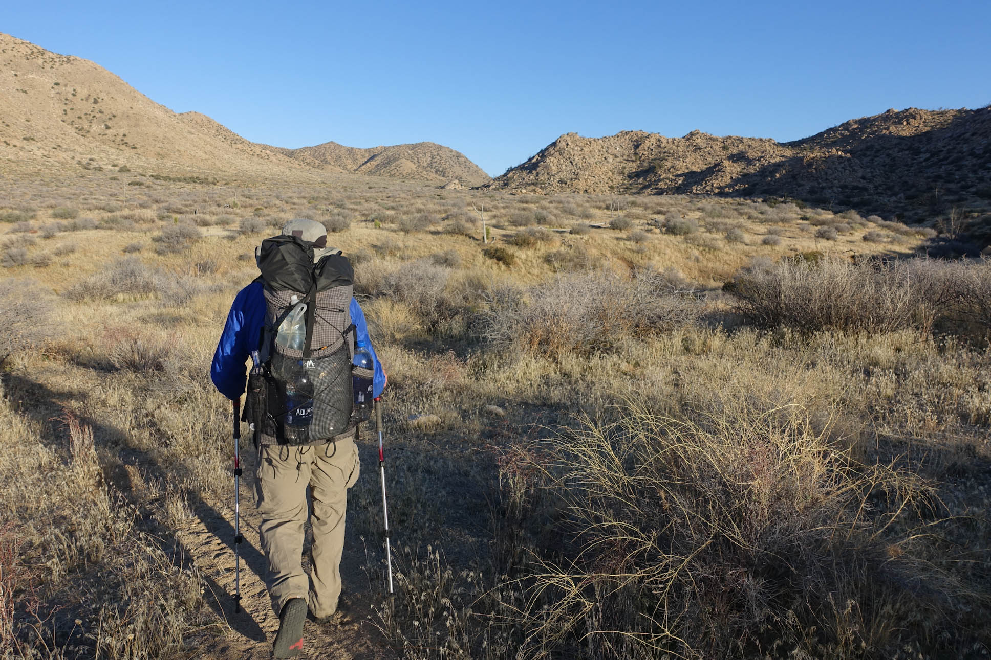
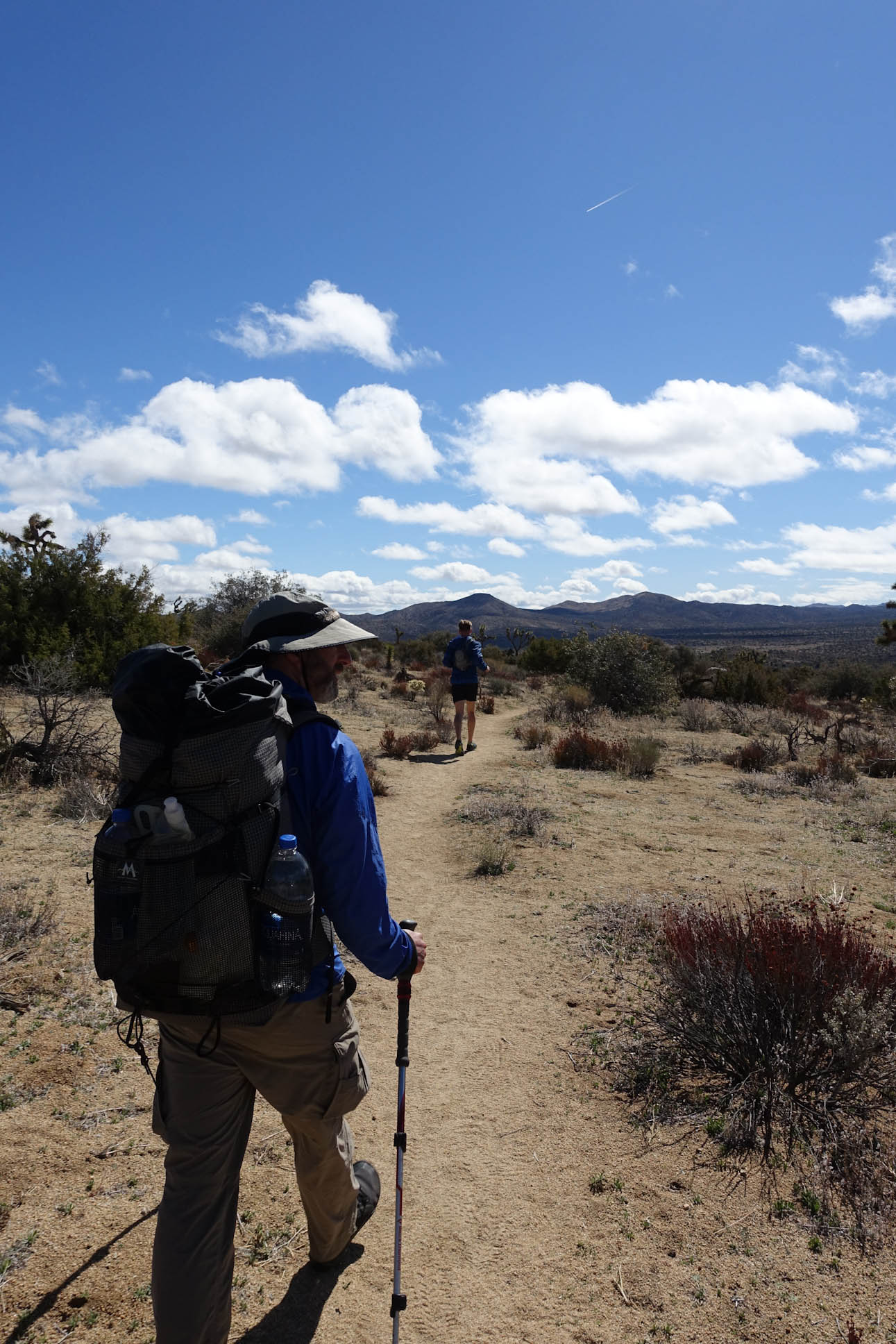
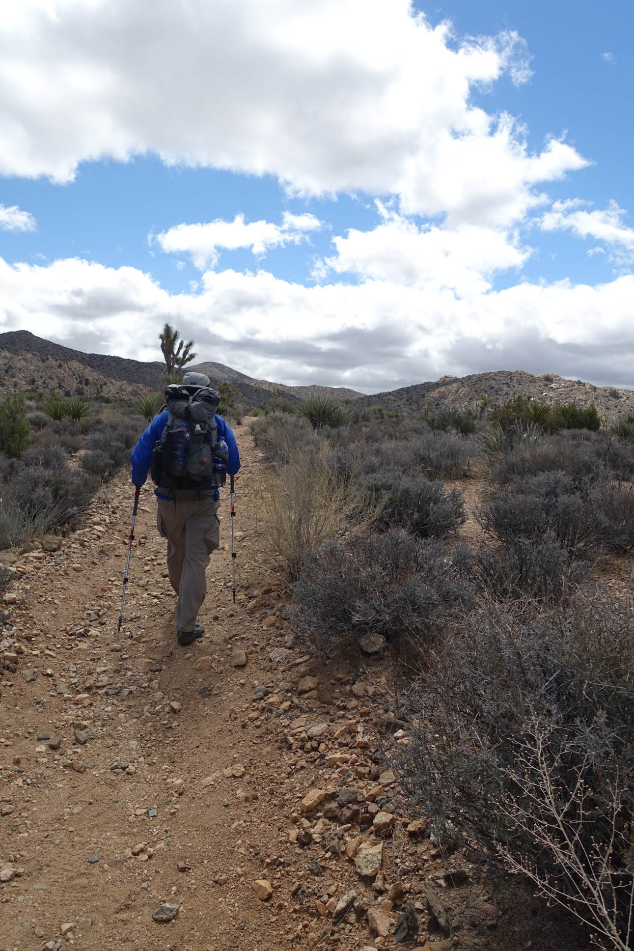
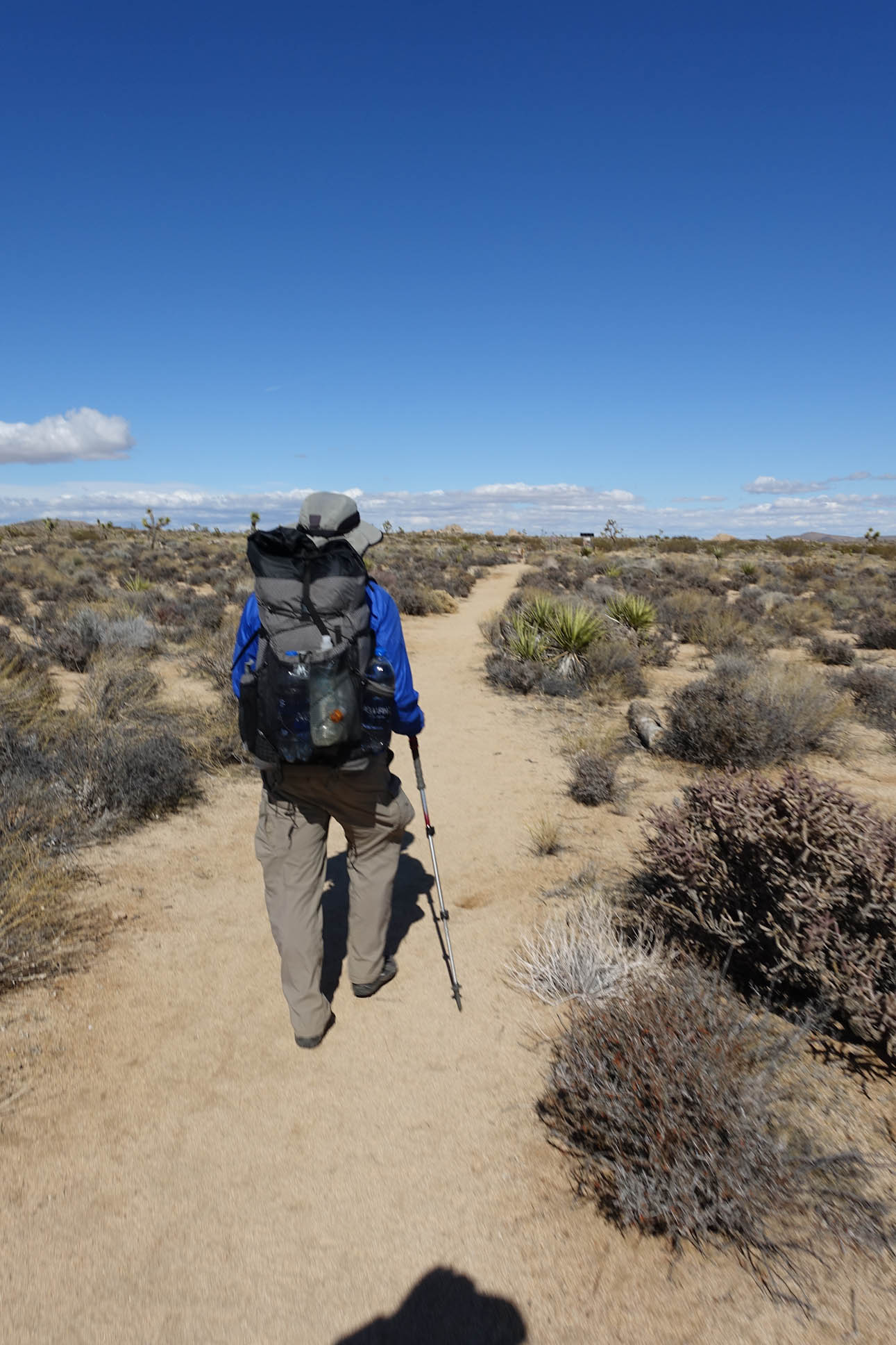
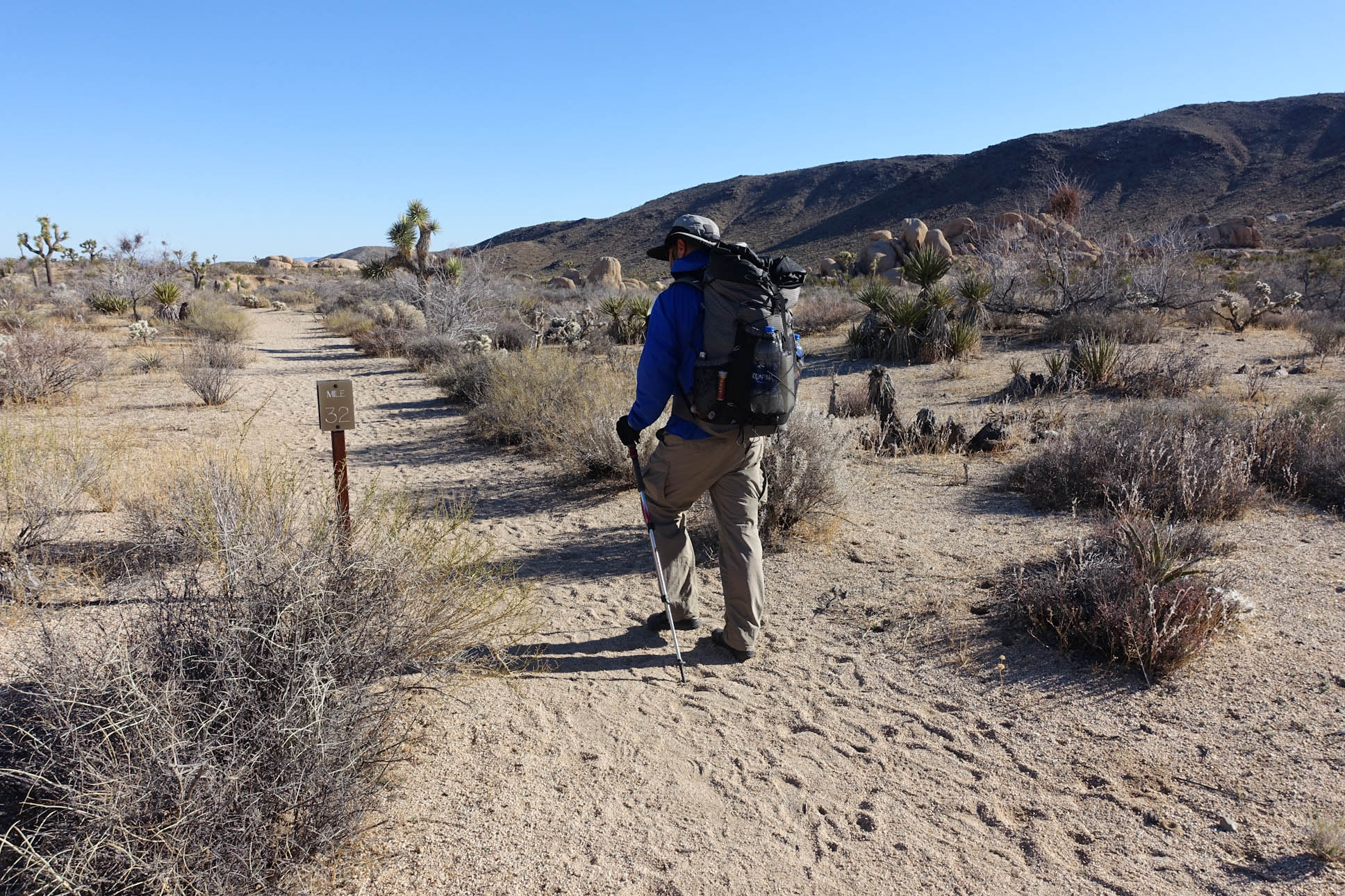
We started out carrying about 4 Liters of water each, though we only had to hike about 7 miles to our first water cache. We both were very cautious about how much water we carried. Often, we were easily carrying double the amount we needed, if not more. Our packs were light, so we did not mind the few extra pounds for the comfort of knowing that we would not run dry on the trail.

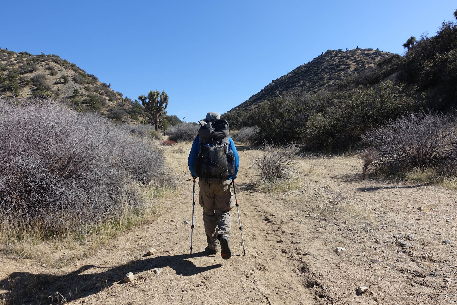
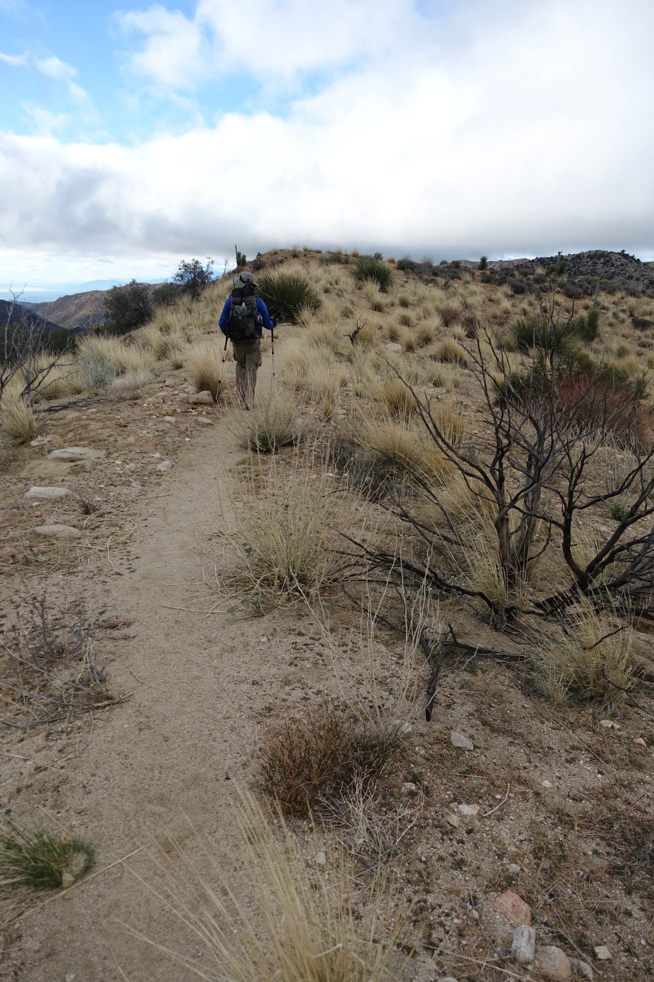
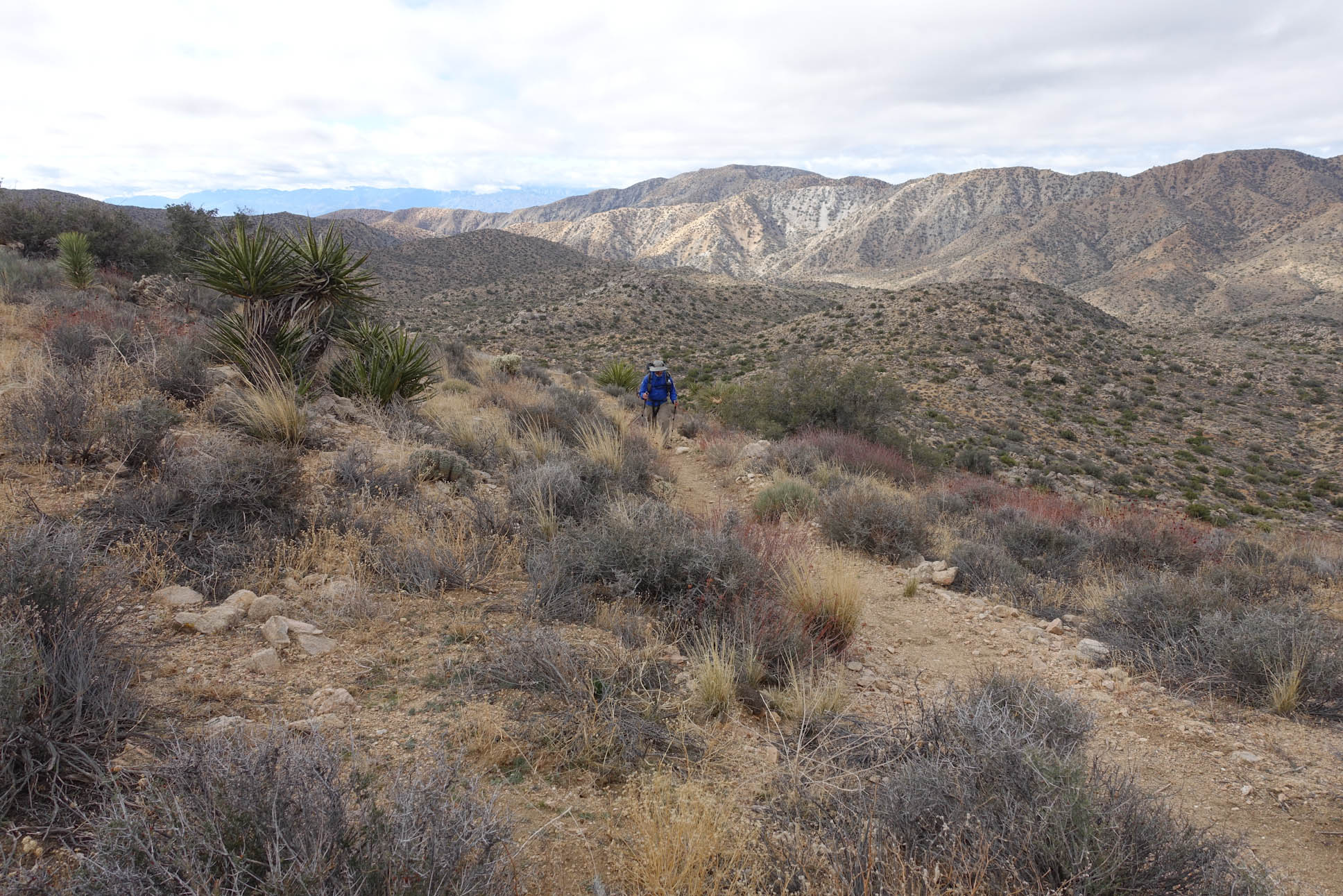
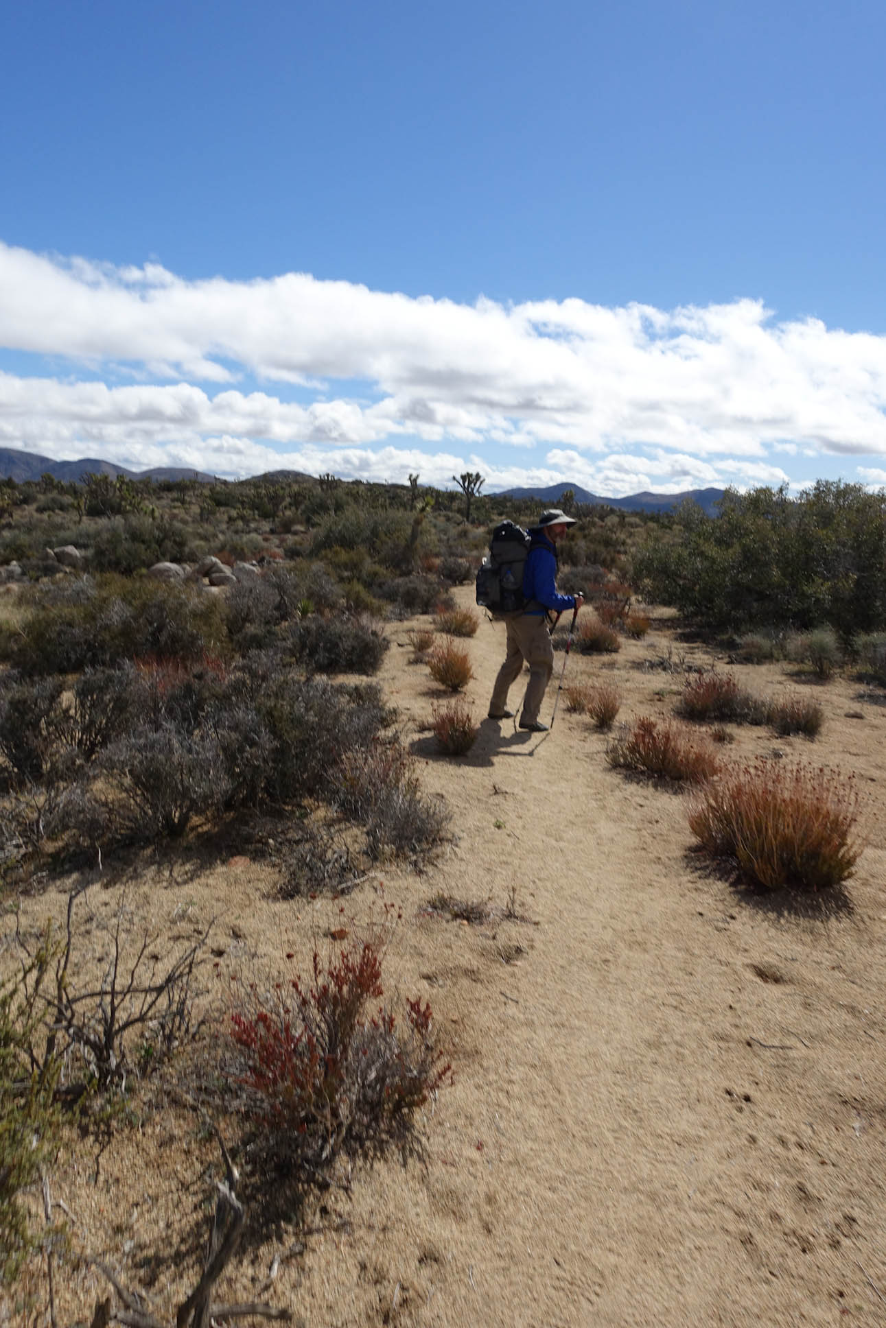
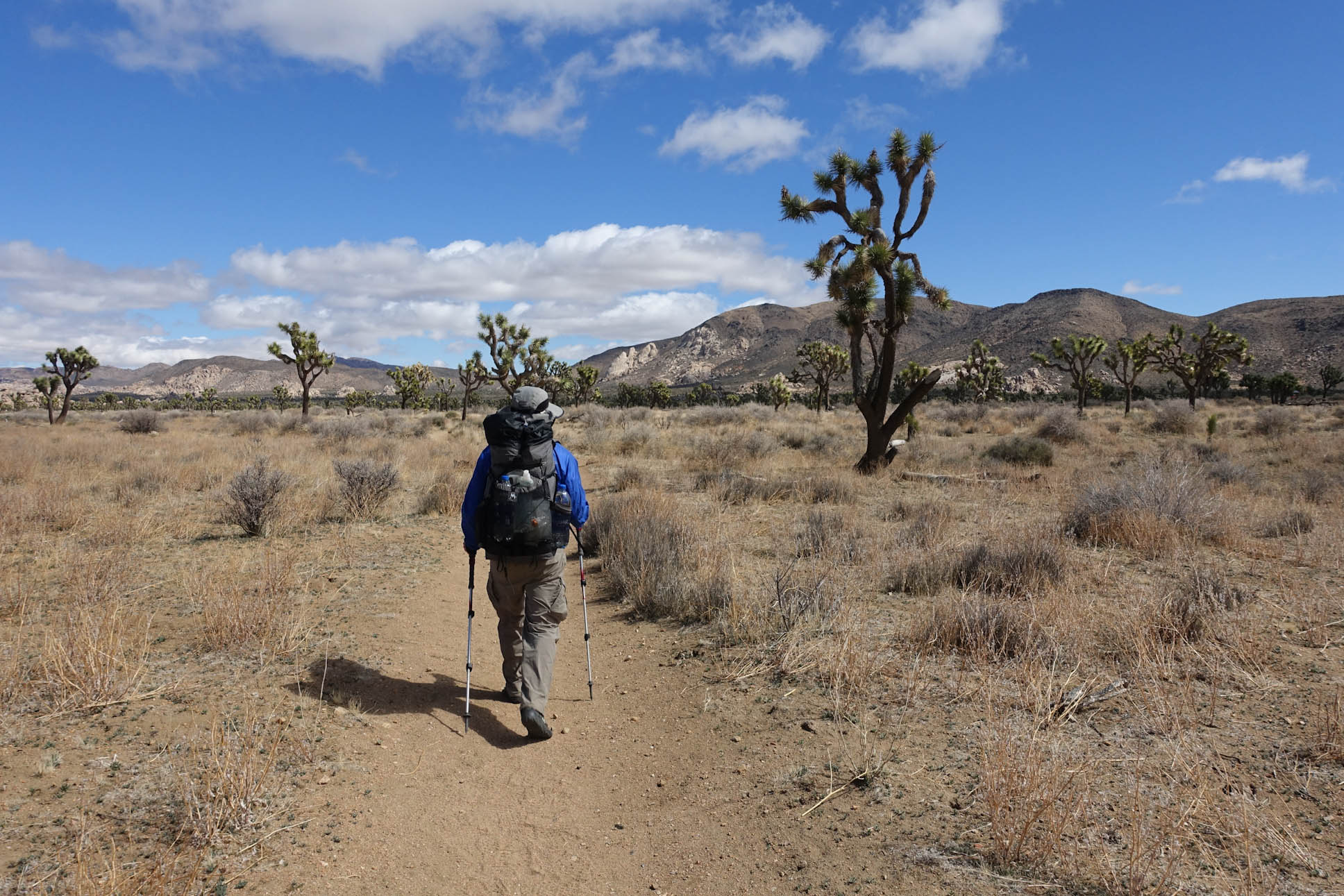
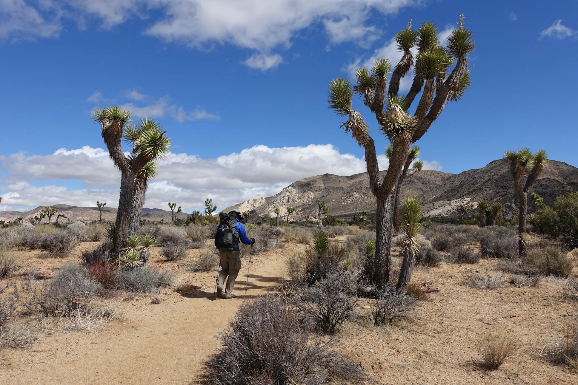
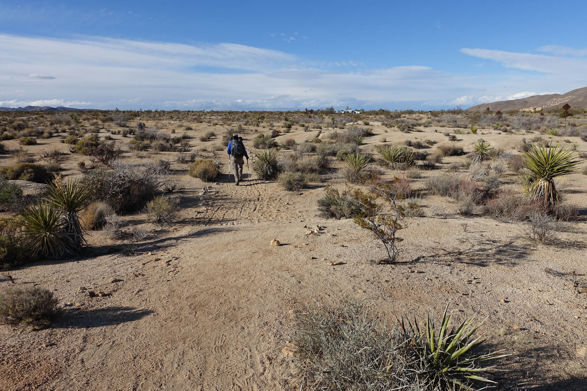
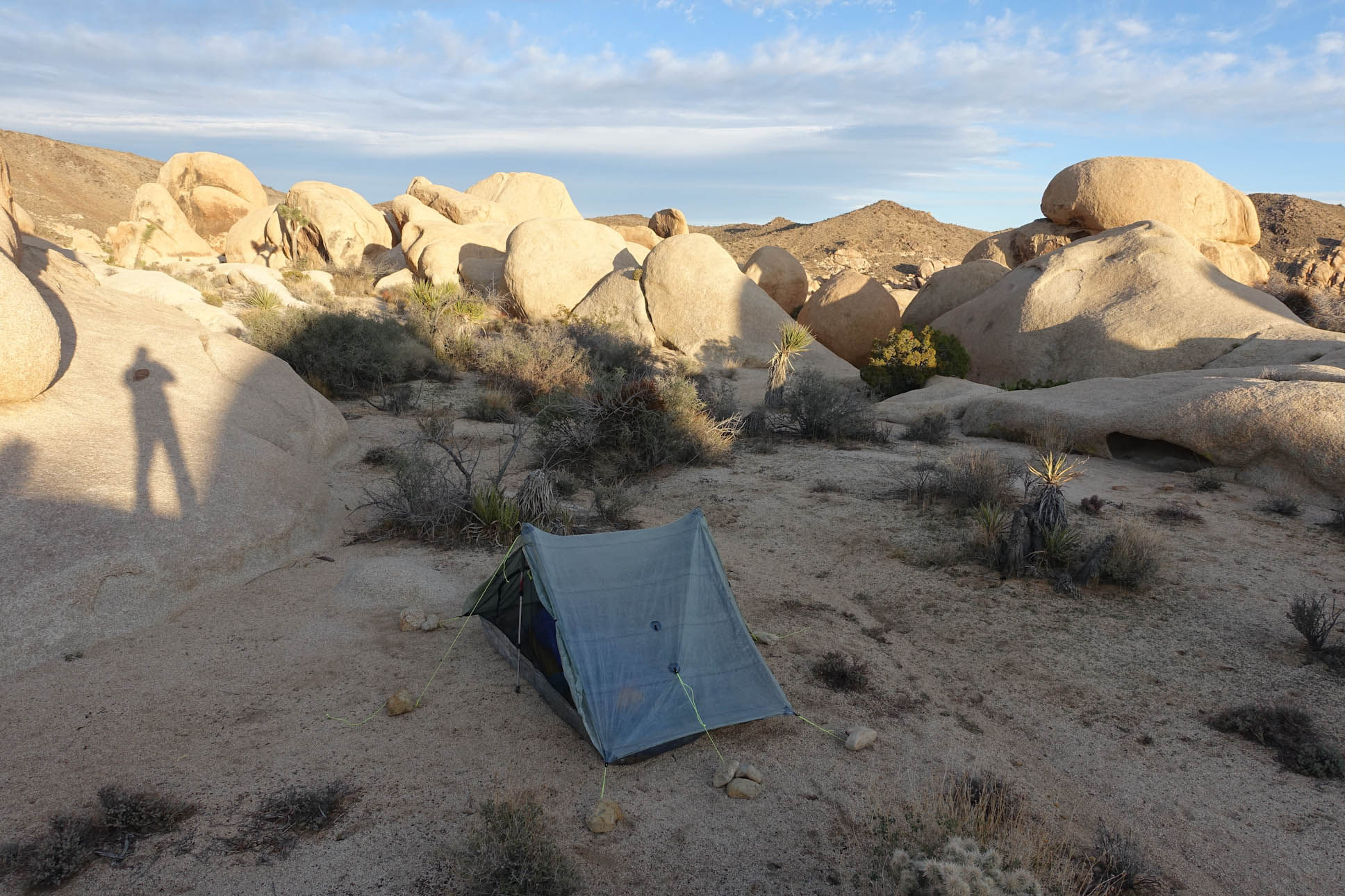
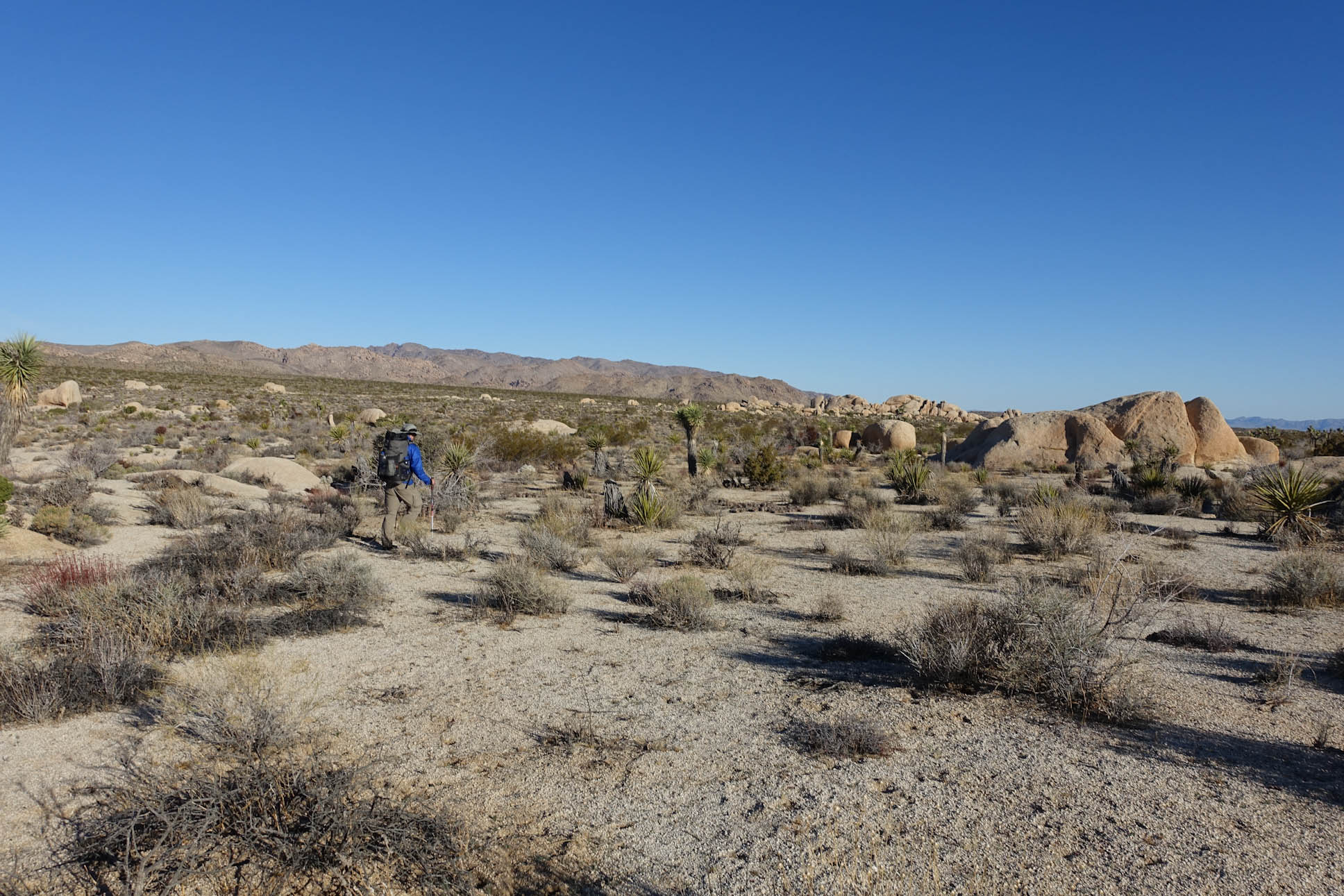
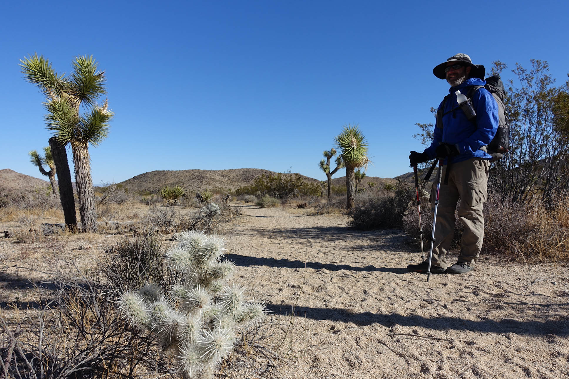
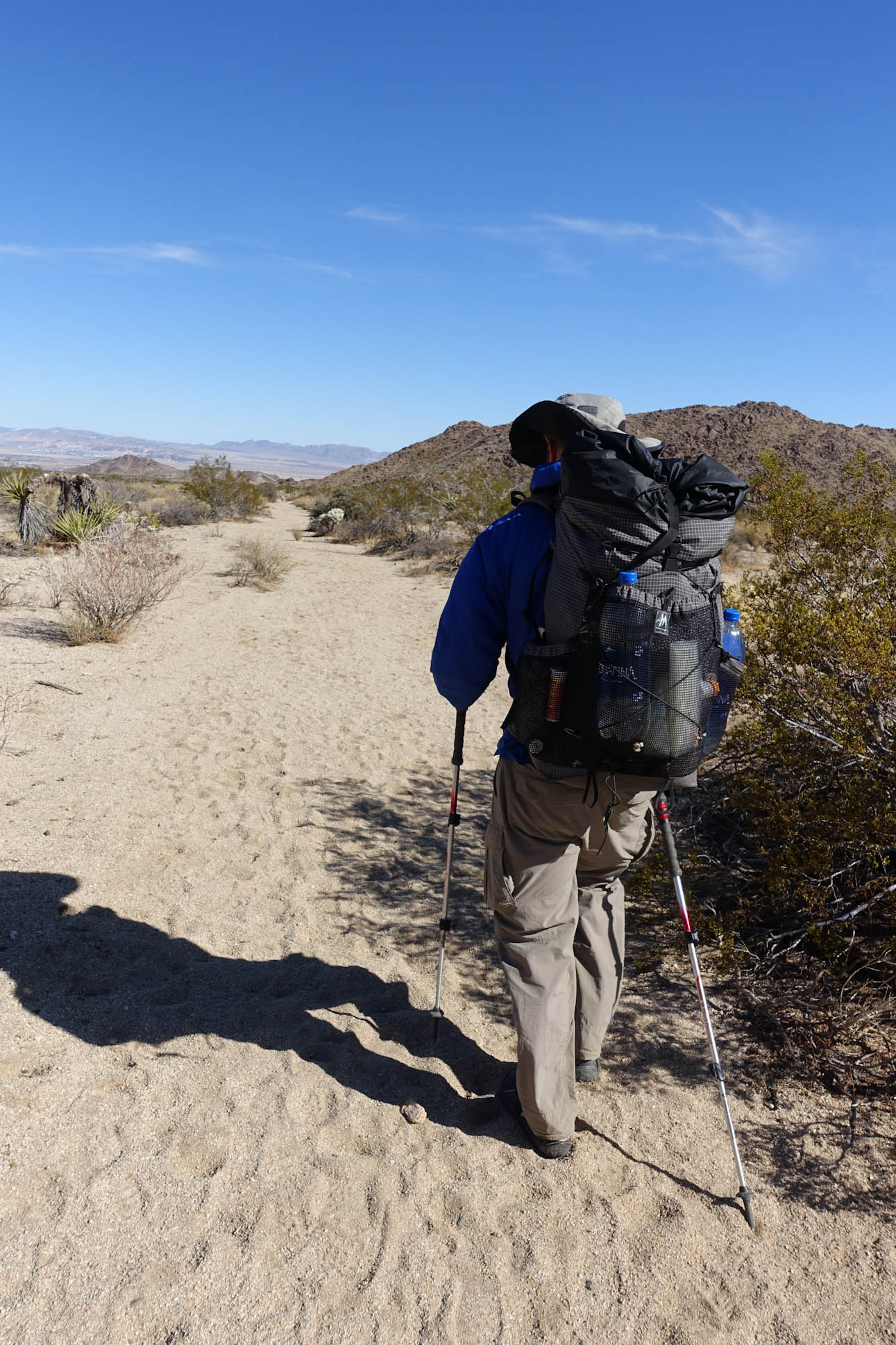
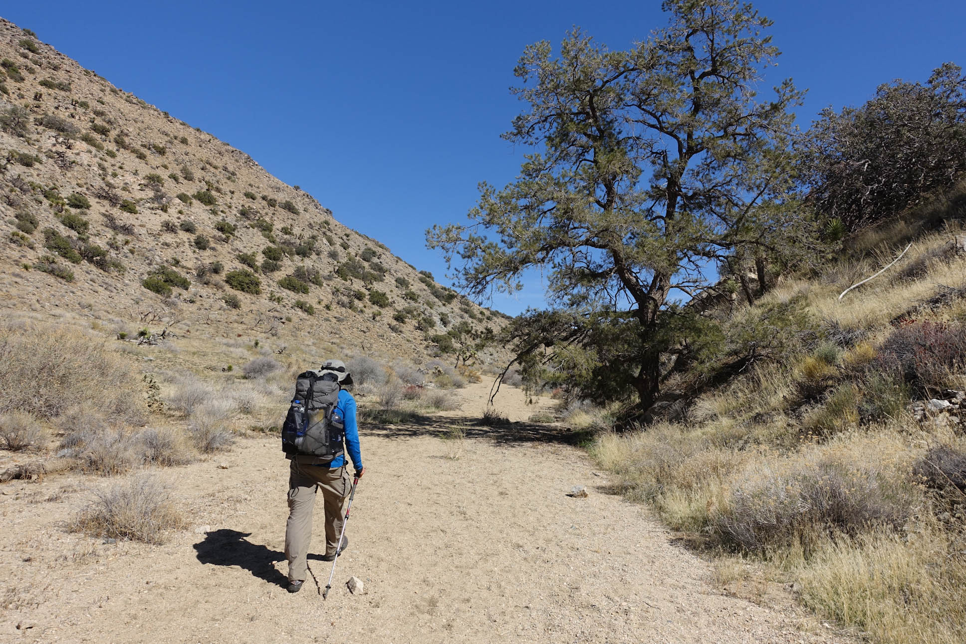
Getting out on the trail in a new environment
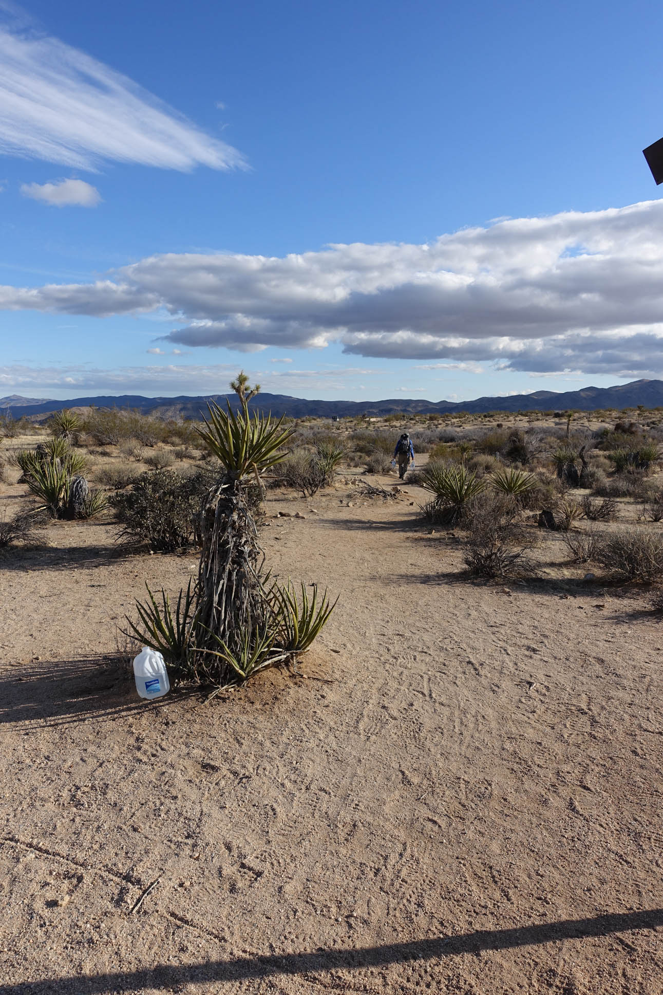
Jeremy had been to Joshua Tree two or three times previously, but had not done a multi day desert hike of this distance before. For me, this was all new as I had never been to the desert before.

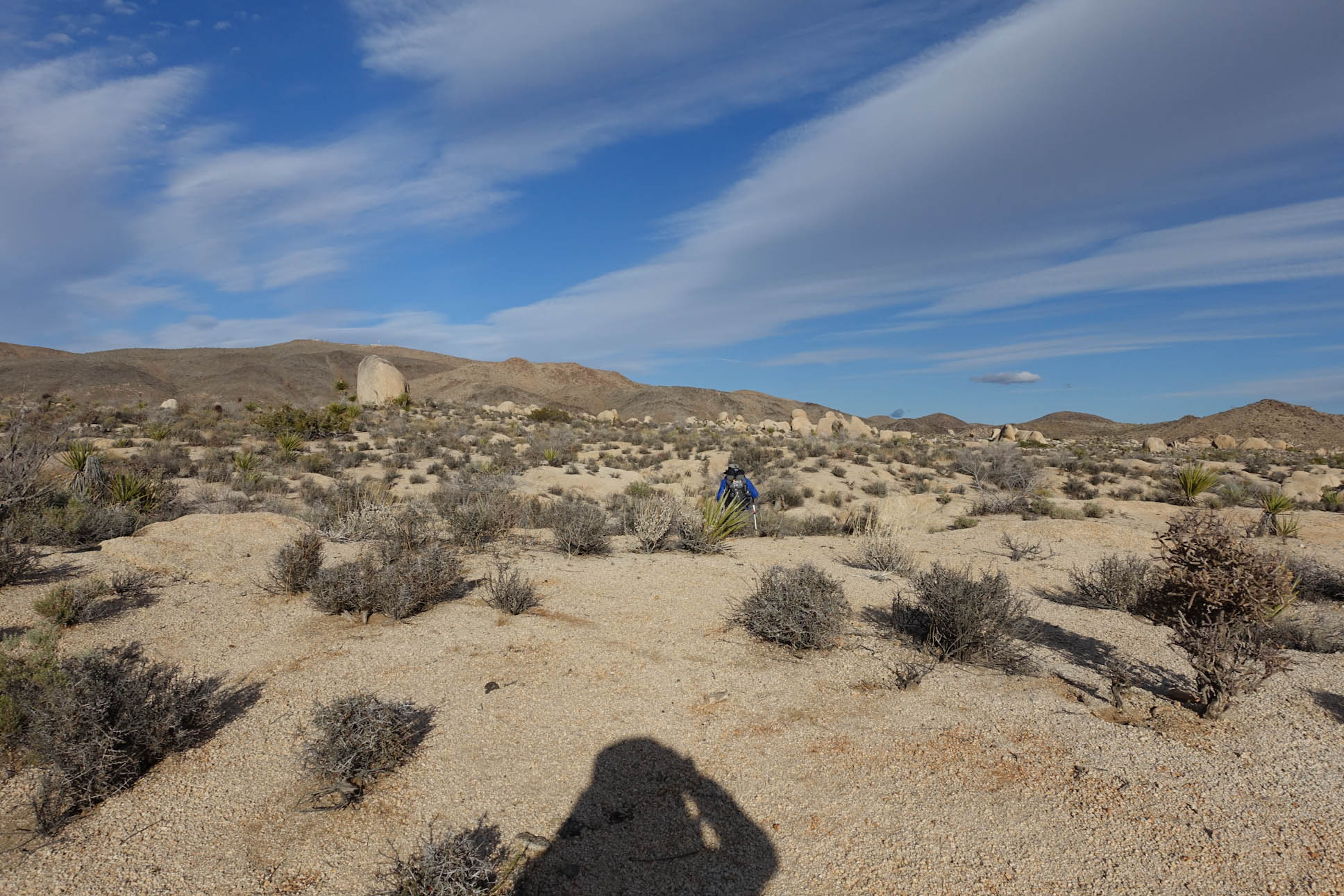
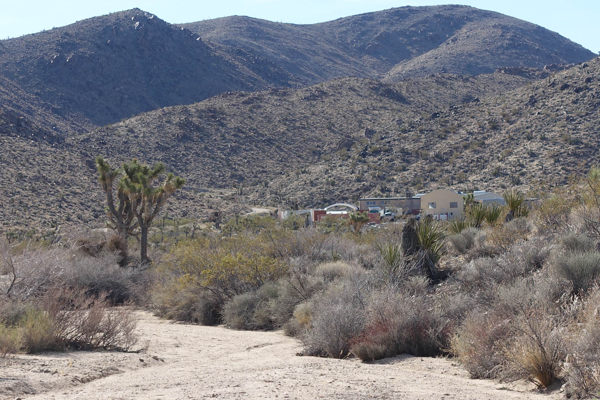
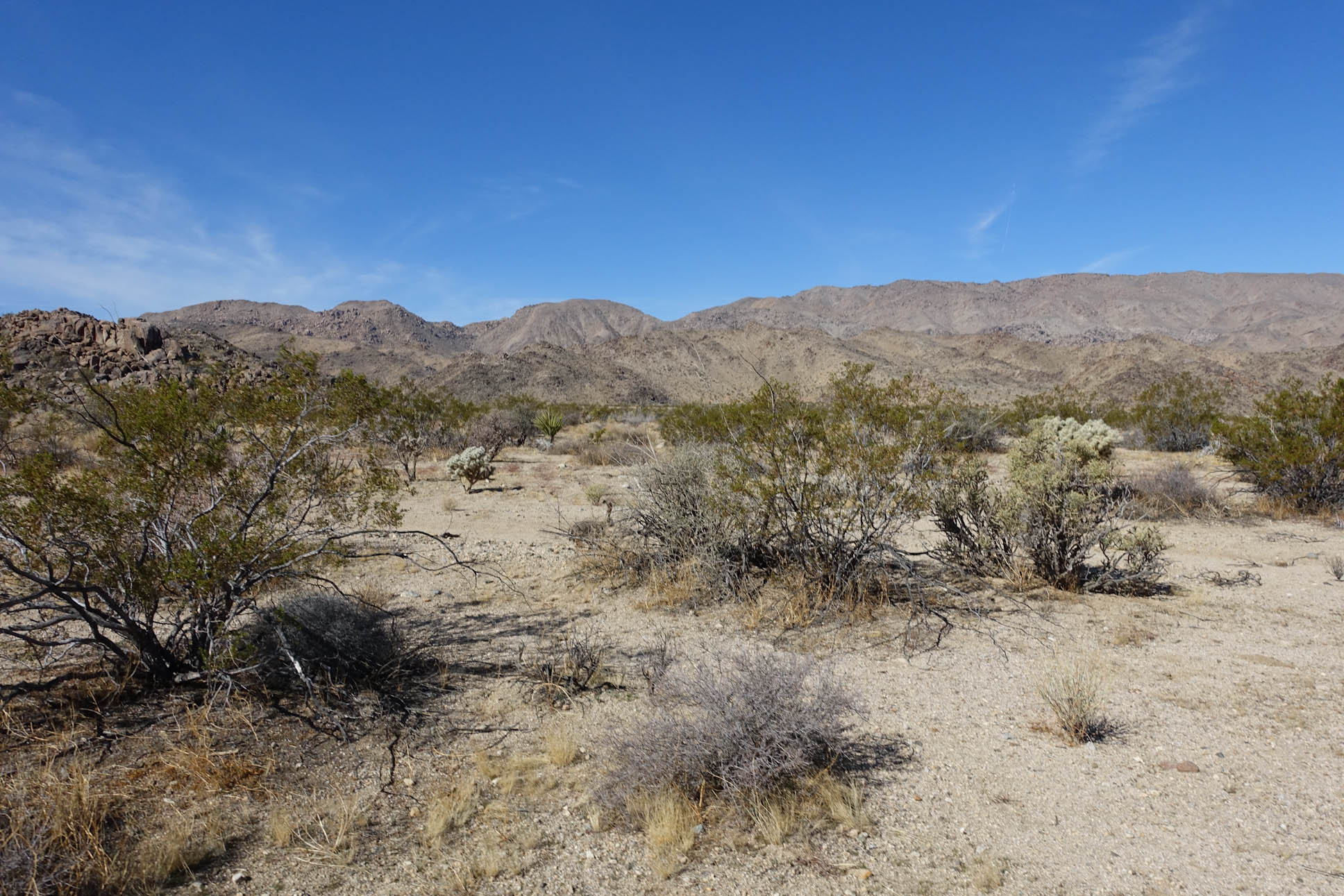
After a short distance, we went off trail to crest a small ridge. We were essentially parallel to Highway 62. From here we could see the civilization that we were leaving behind

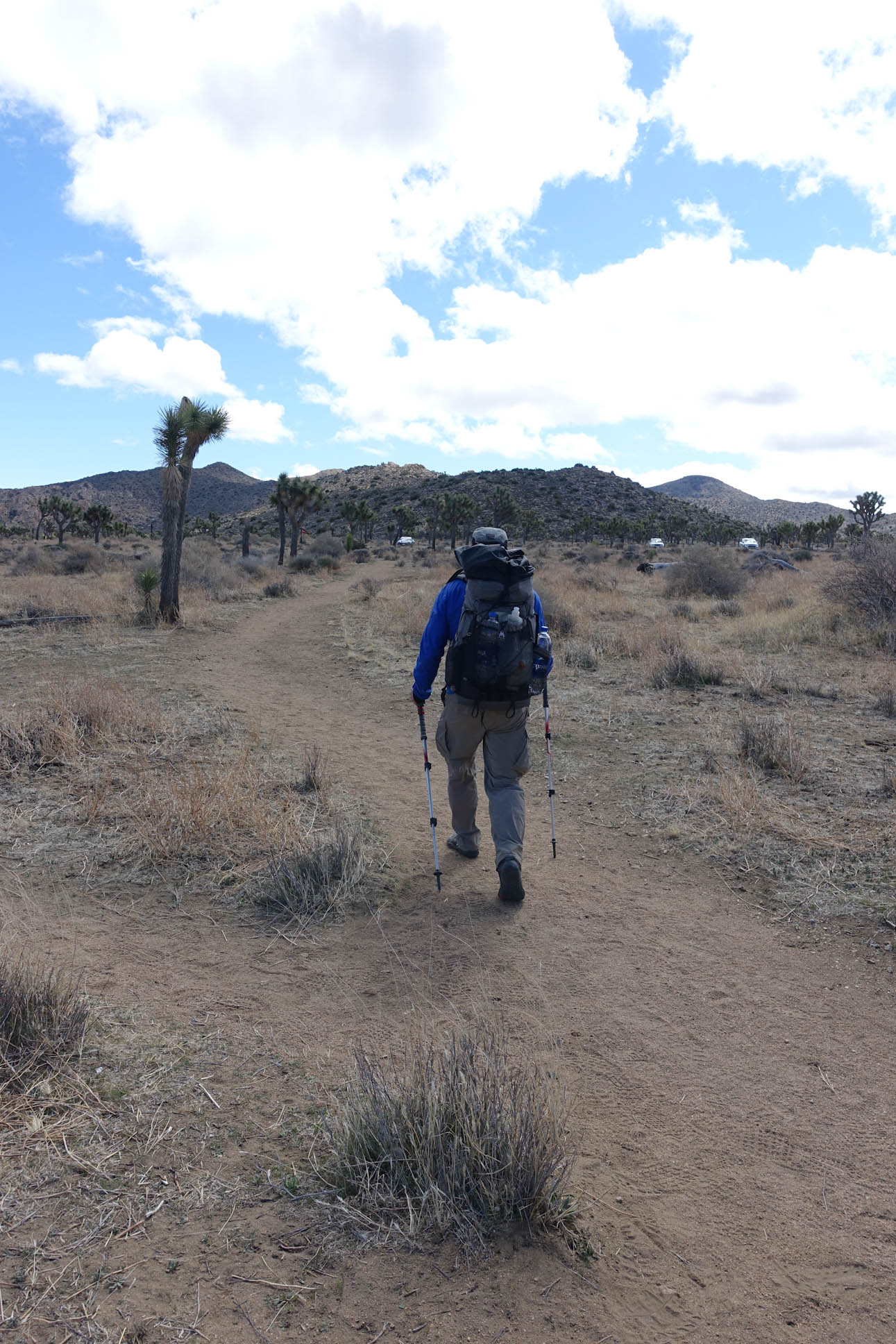
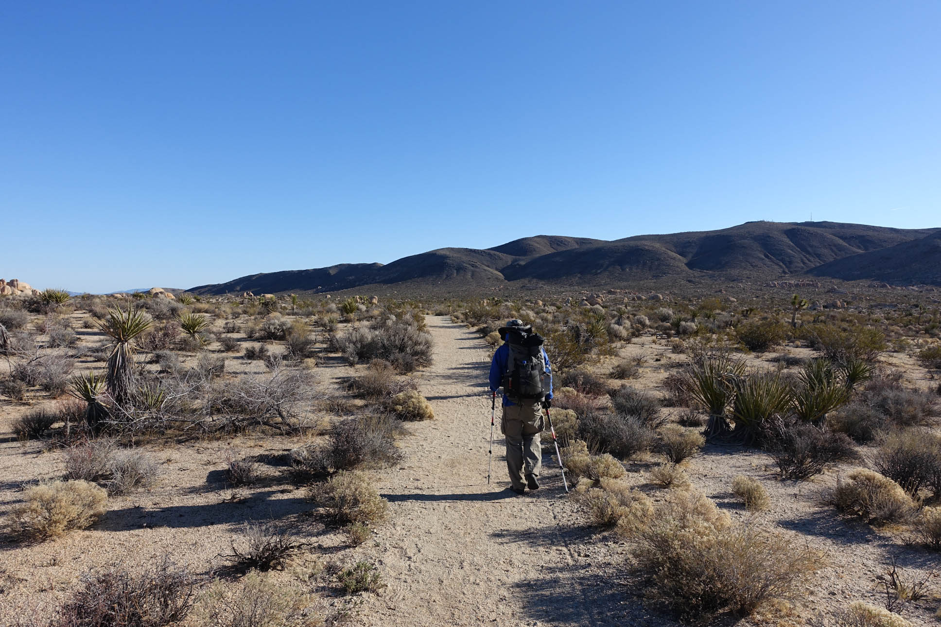
Heading down to get back on to the trail

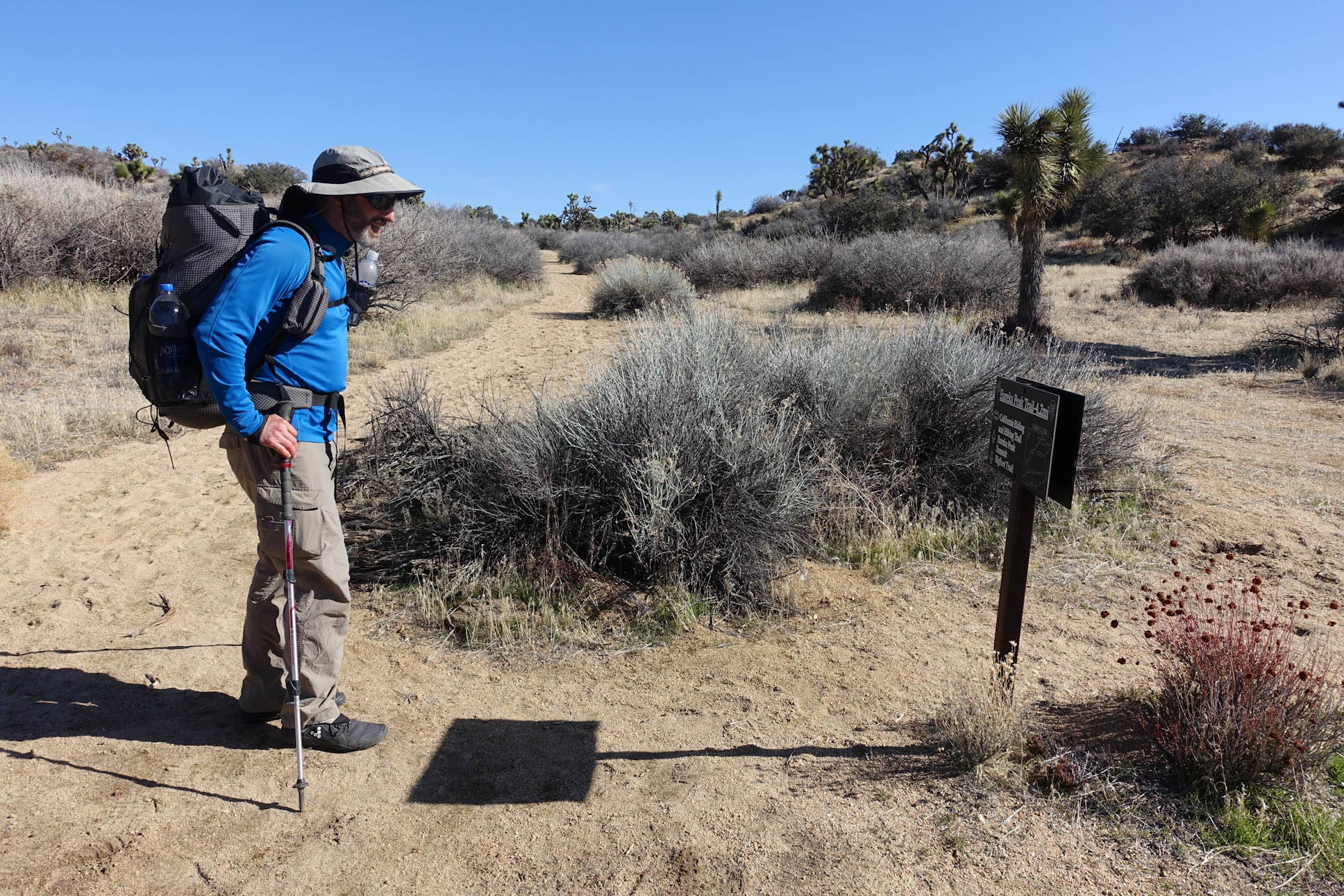
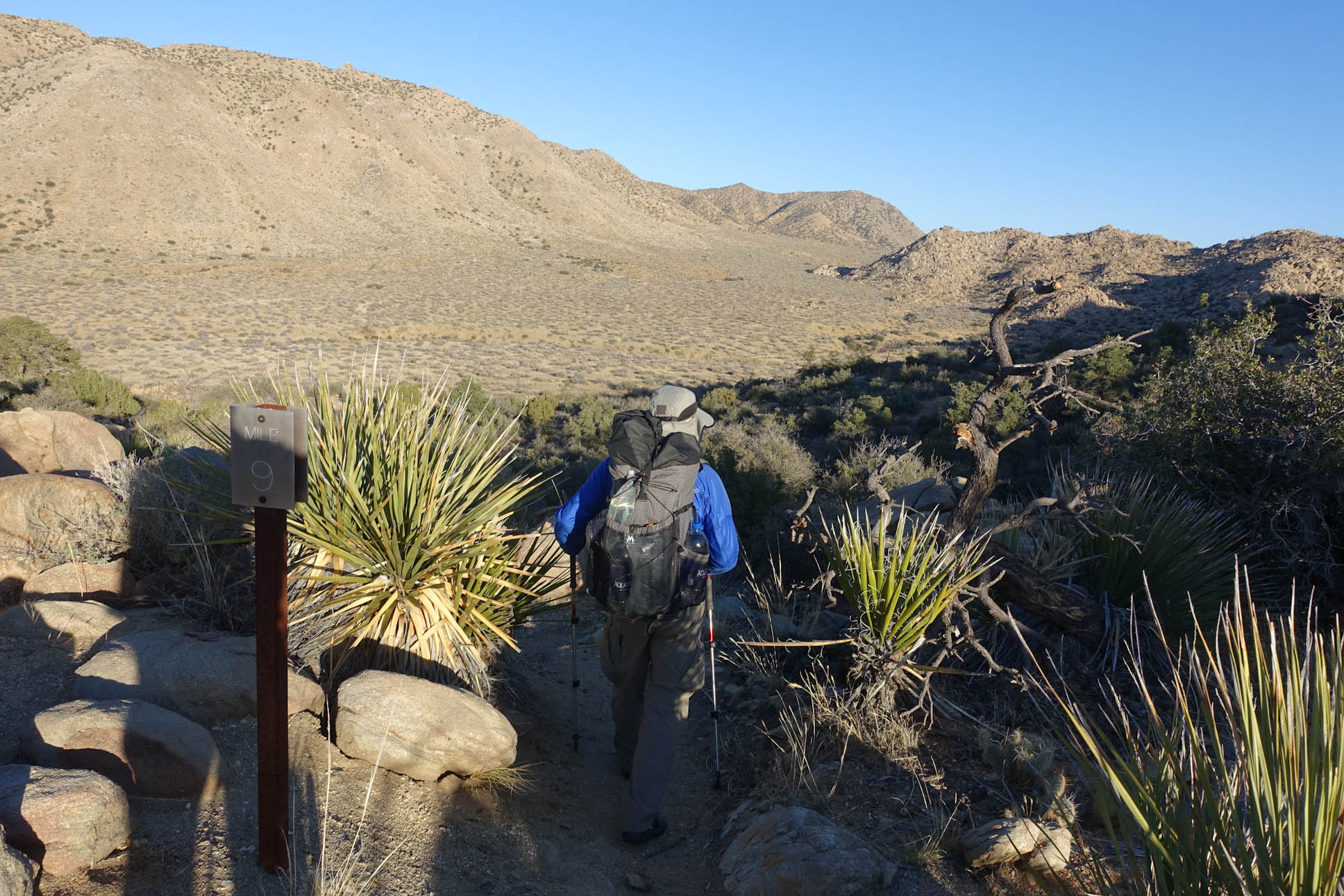
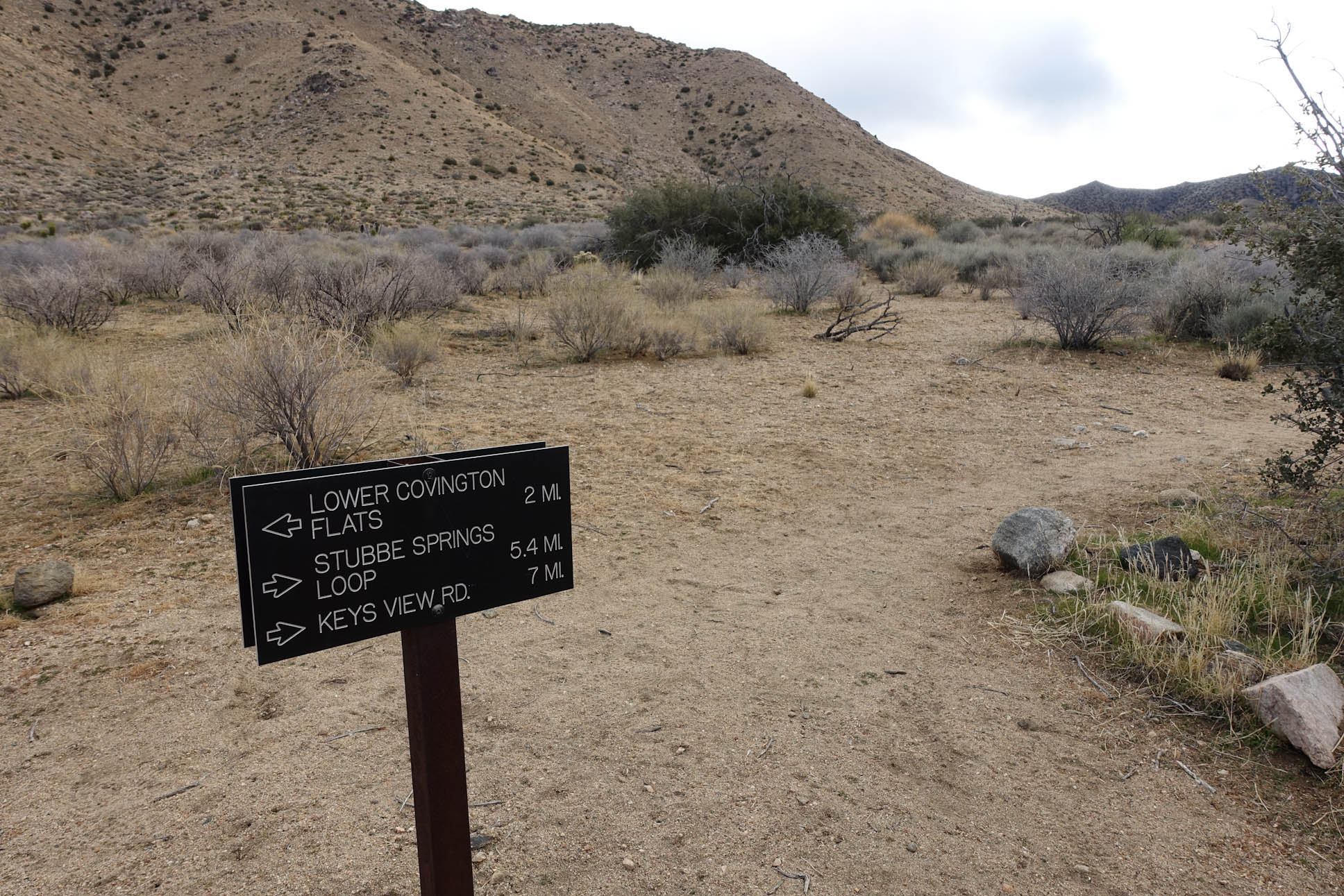
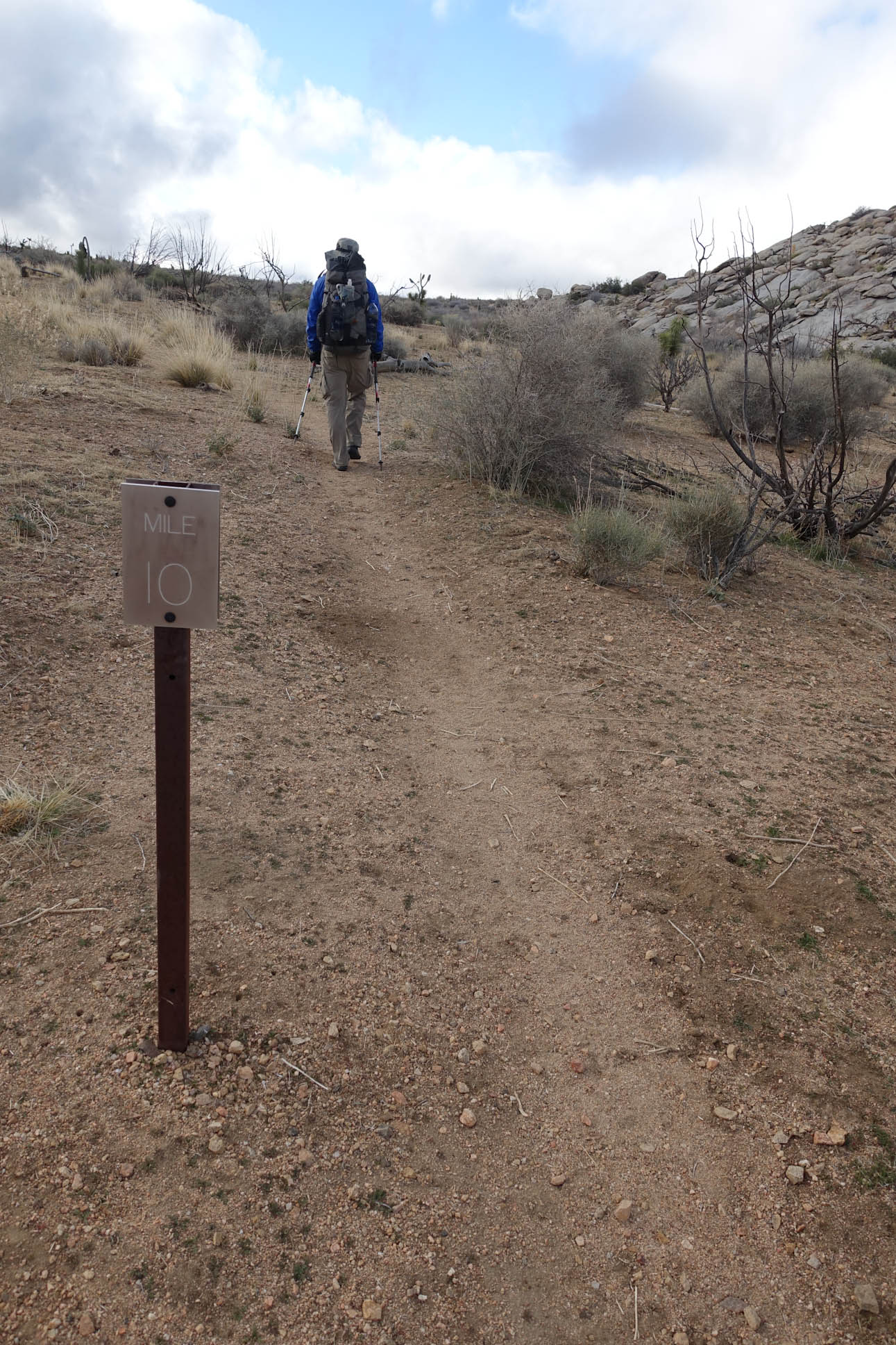
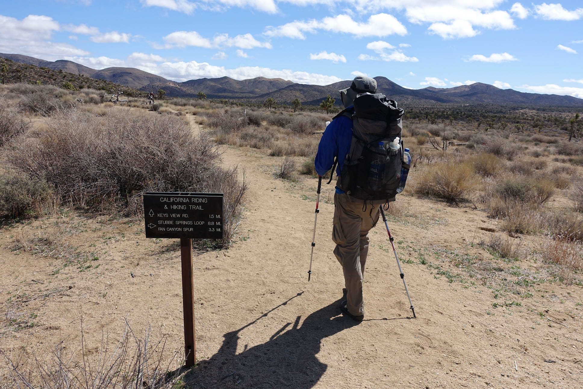
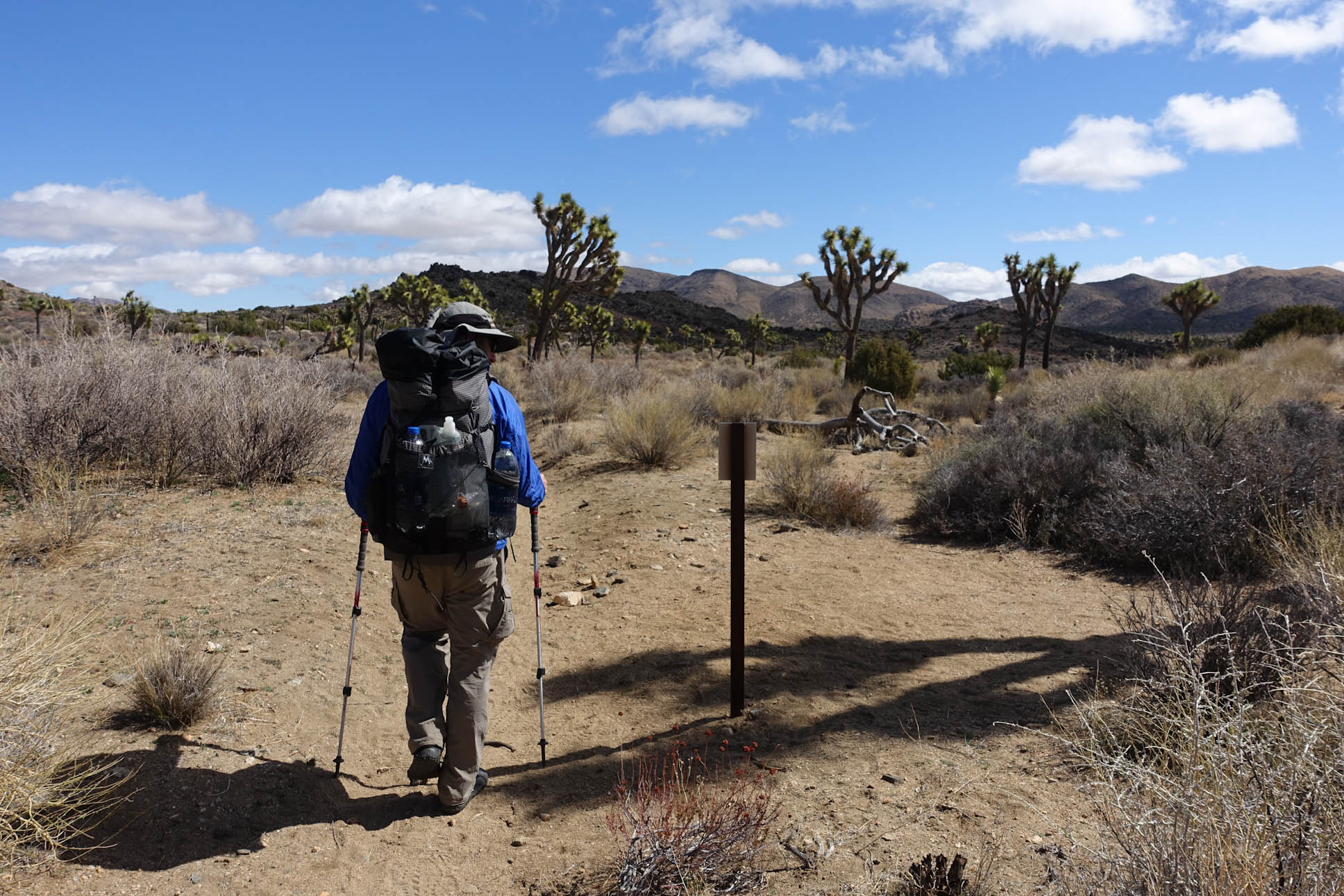
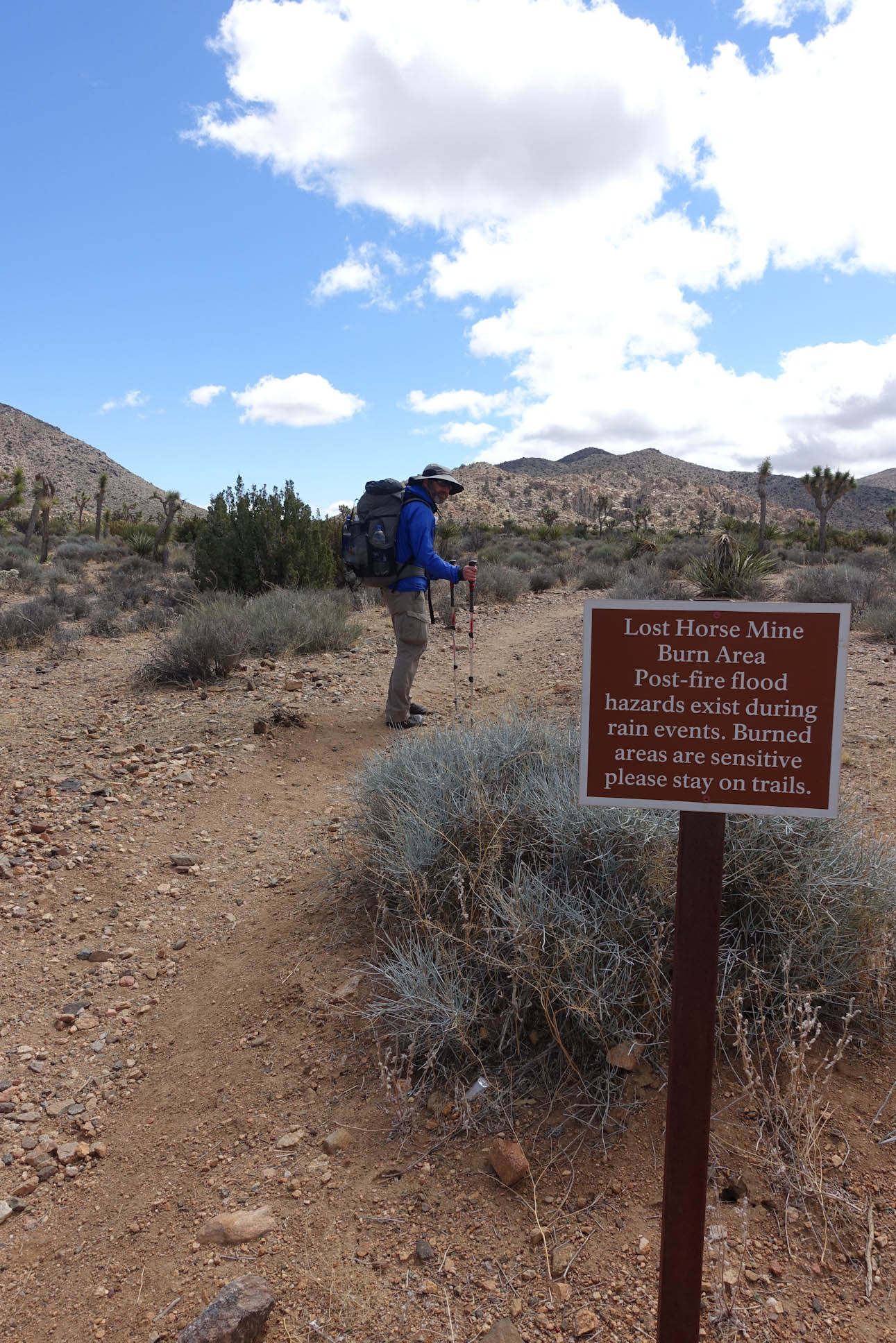
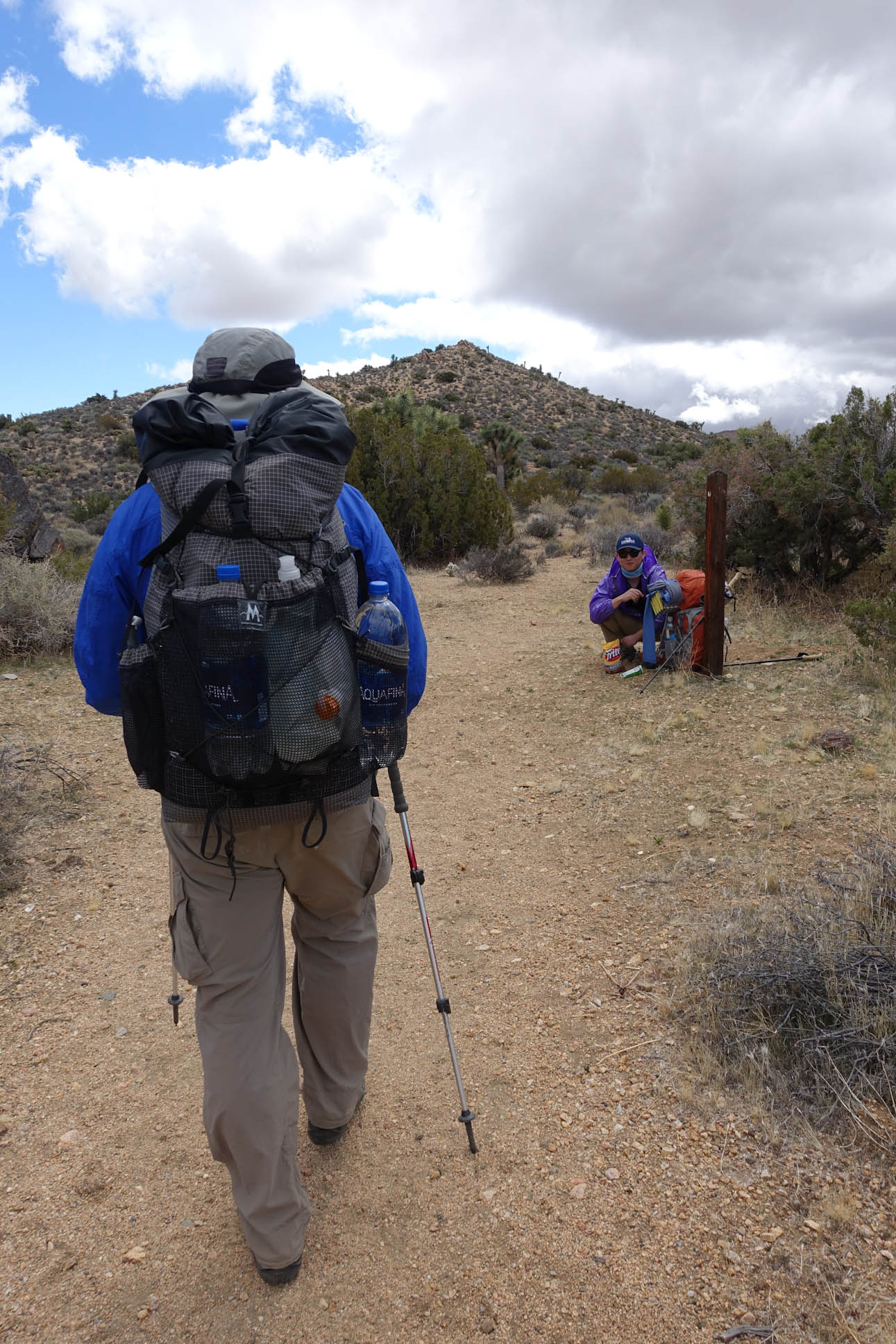
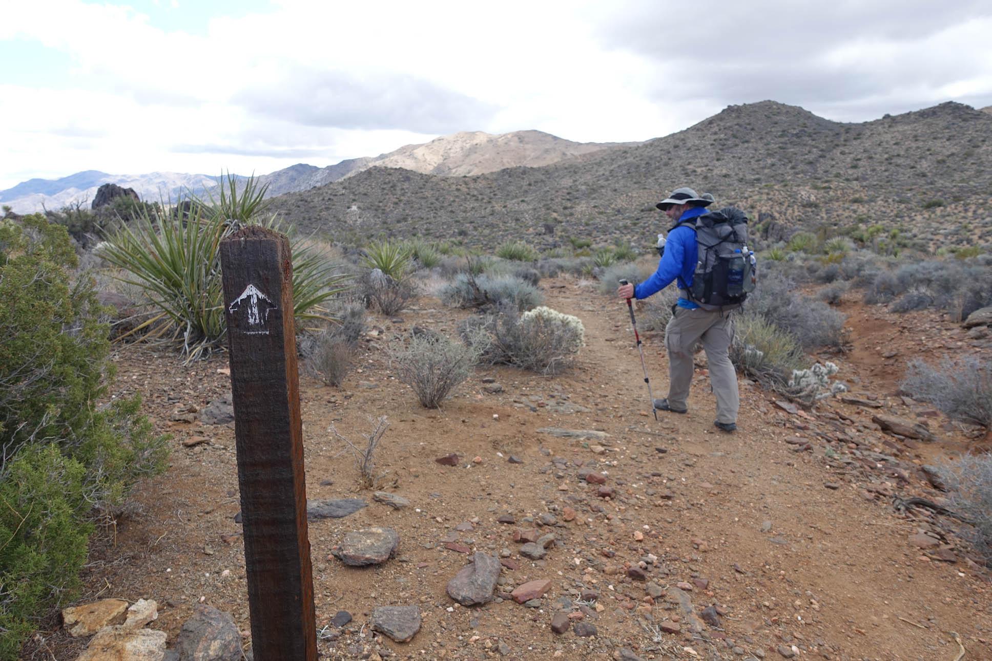
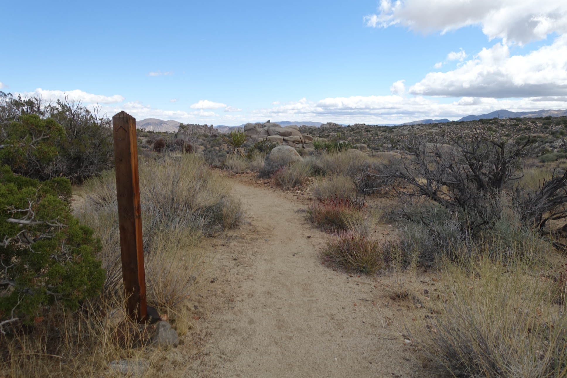
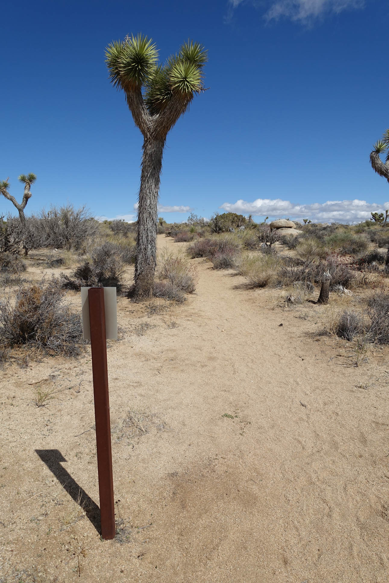
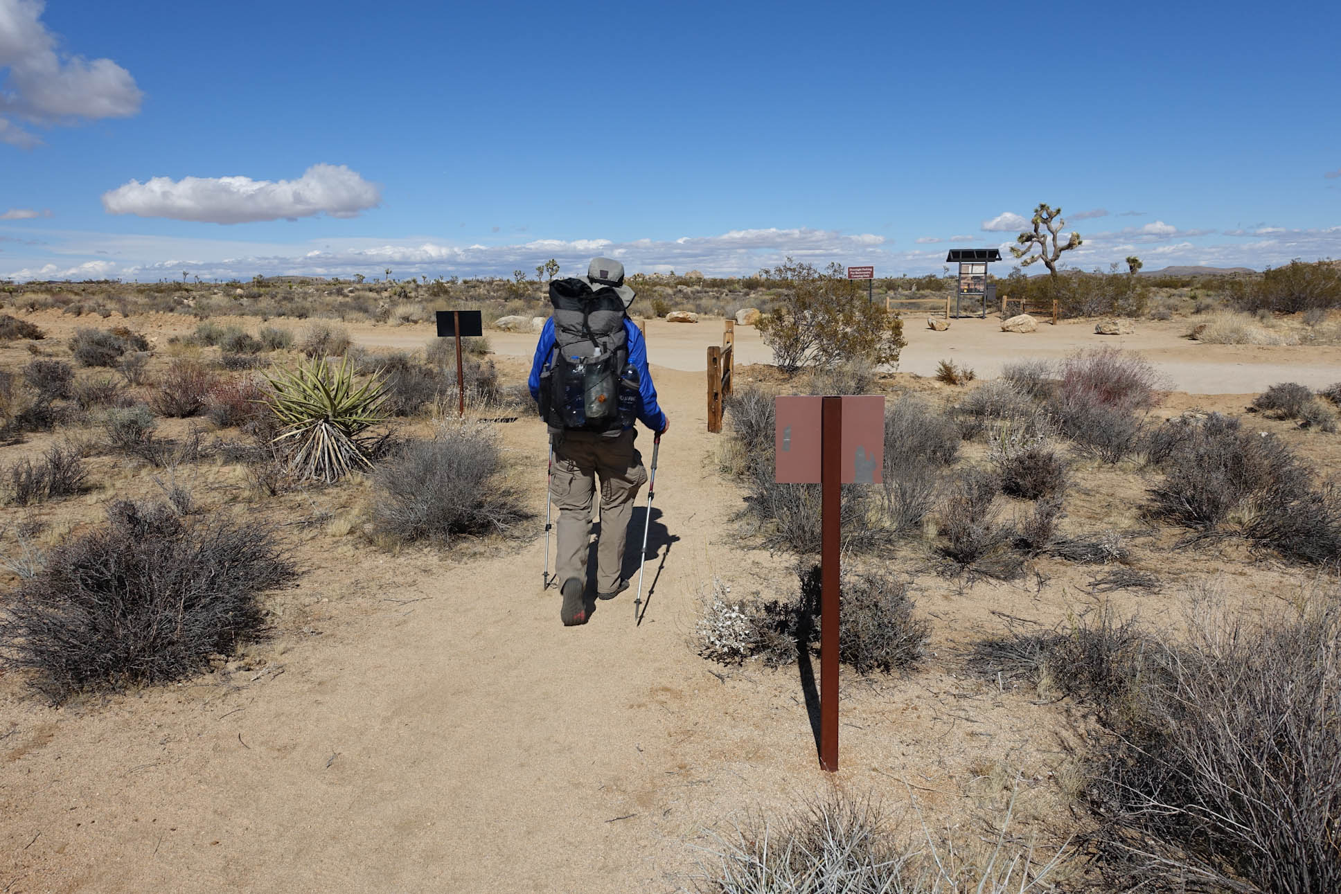
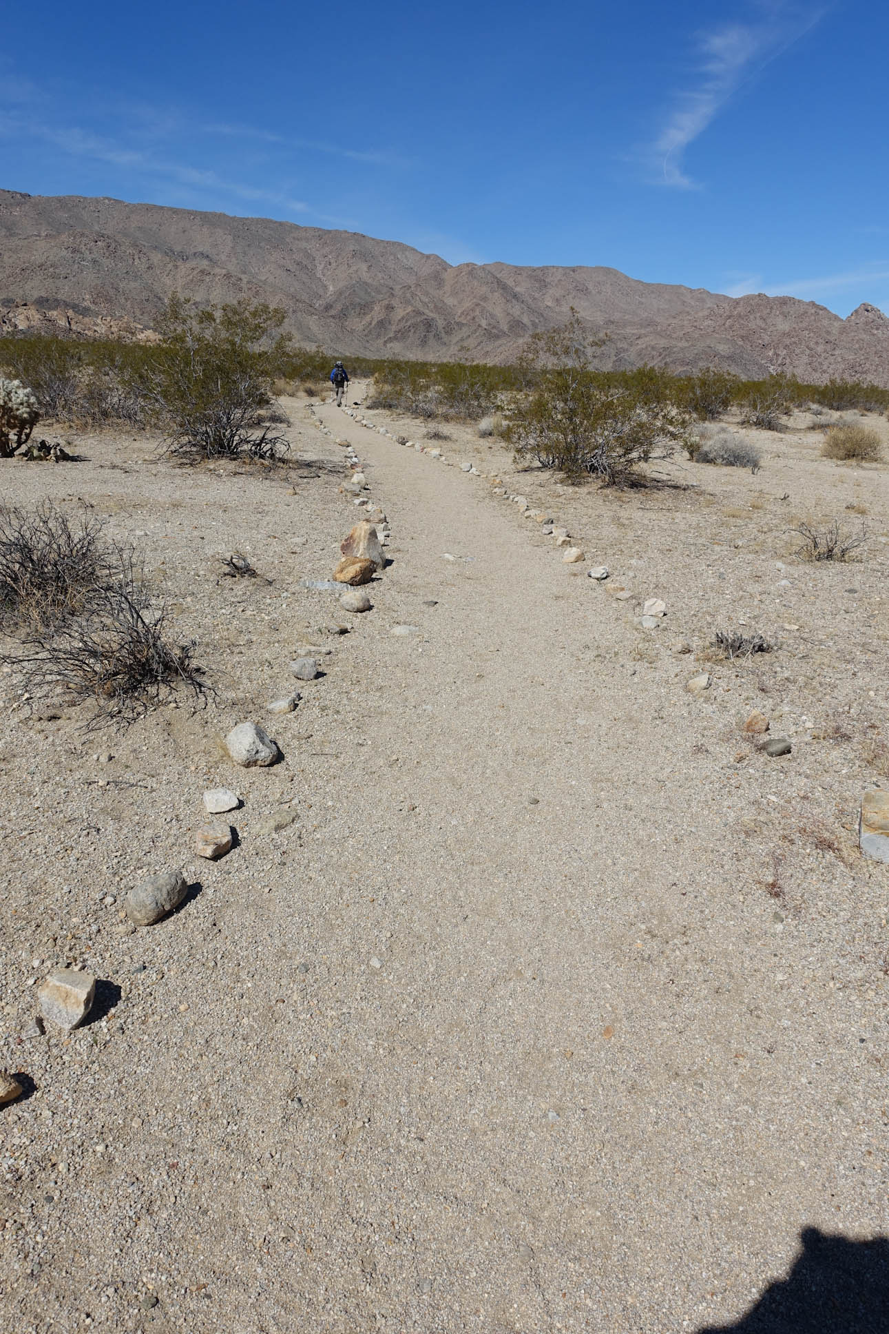
Jeremy initially thought that these mile marker signs were a bit silly, but we came to appreciate them as they assured us that we were on the right path. There were many times other named or nameless trails cut across our path. These mile markers let us know that we had not strayed.

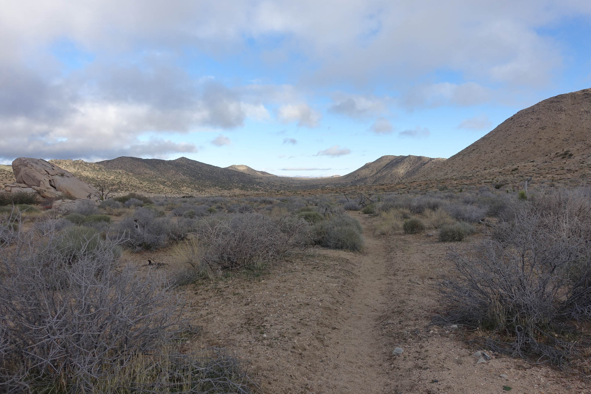
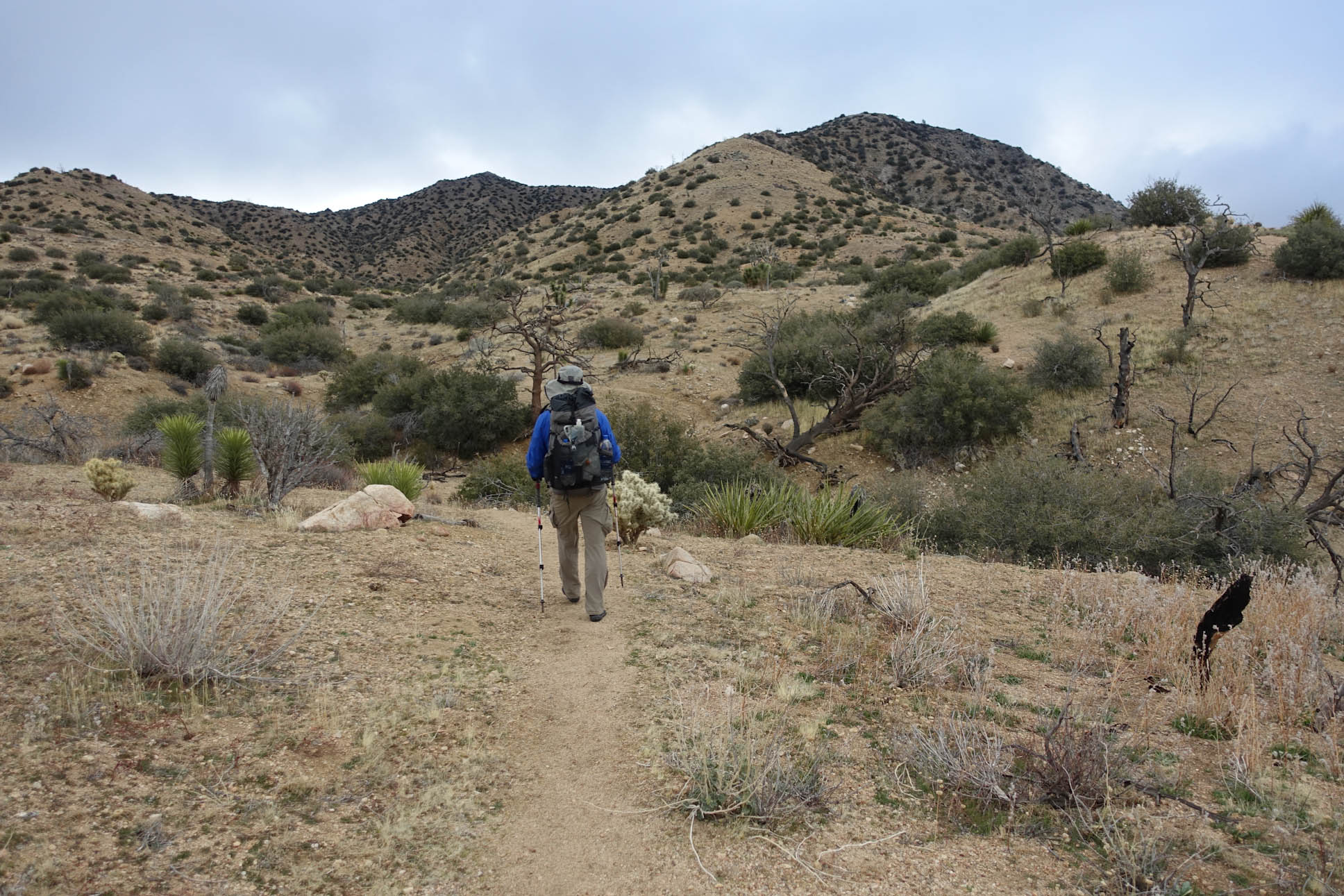
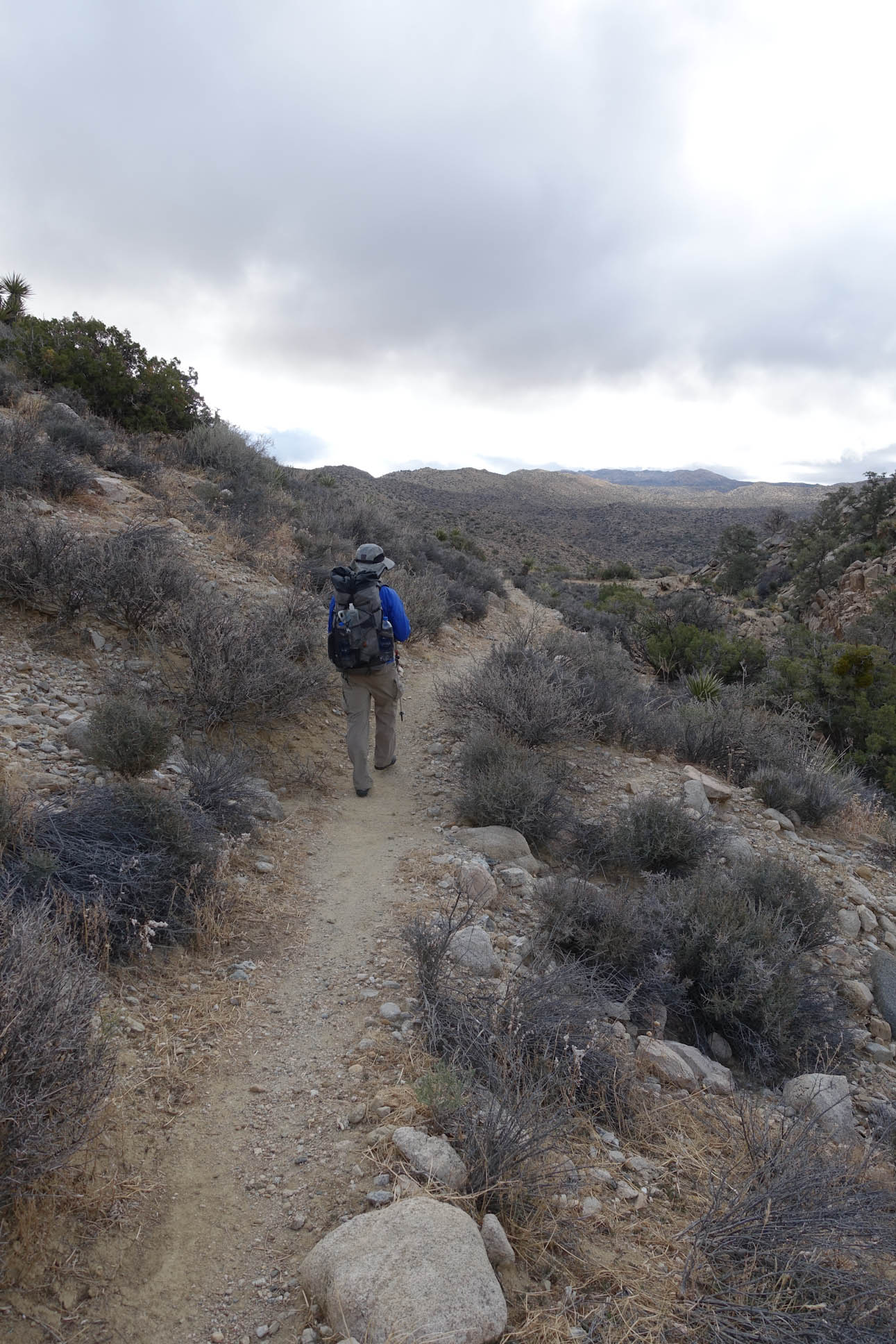
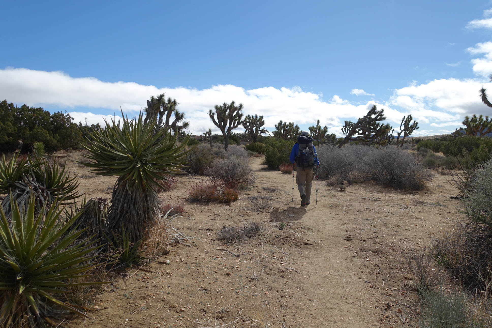
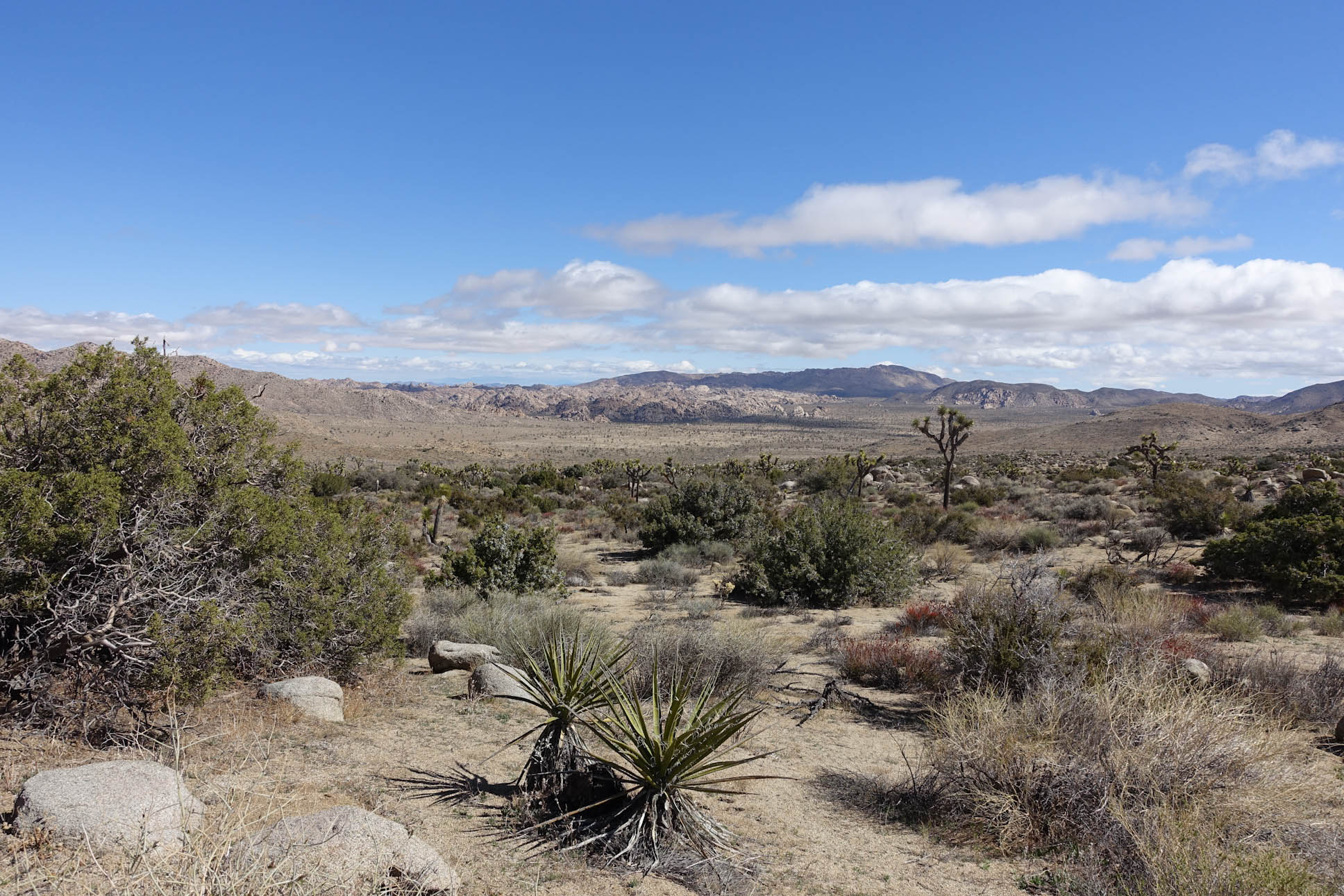
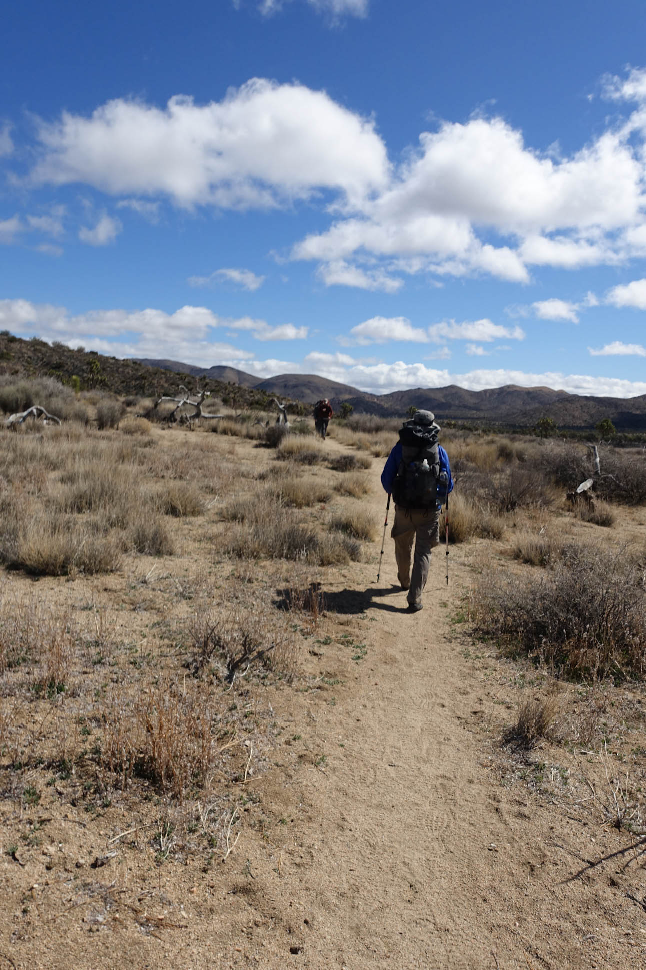
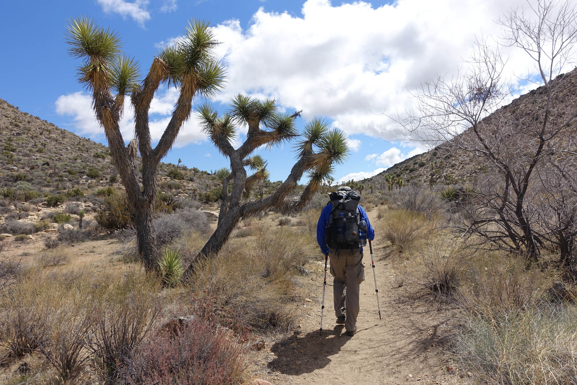
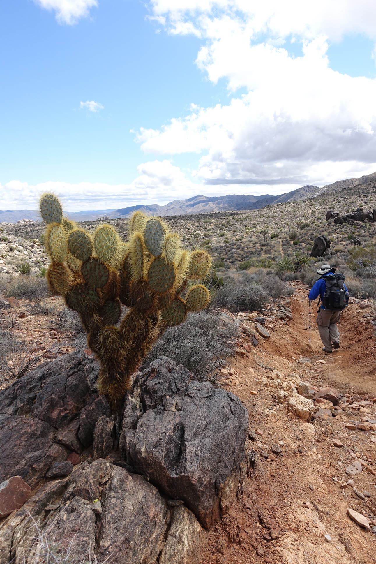
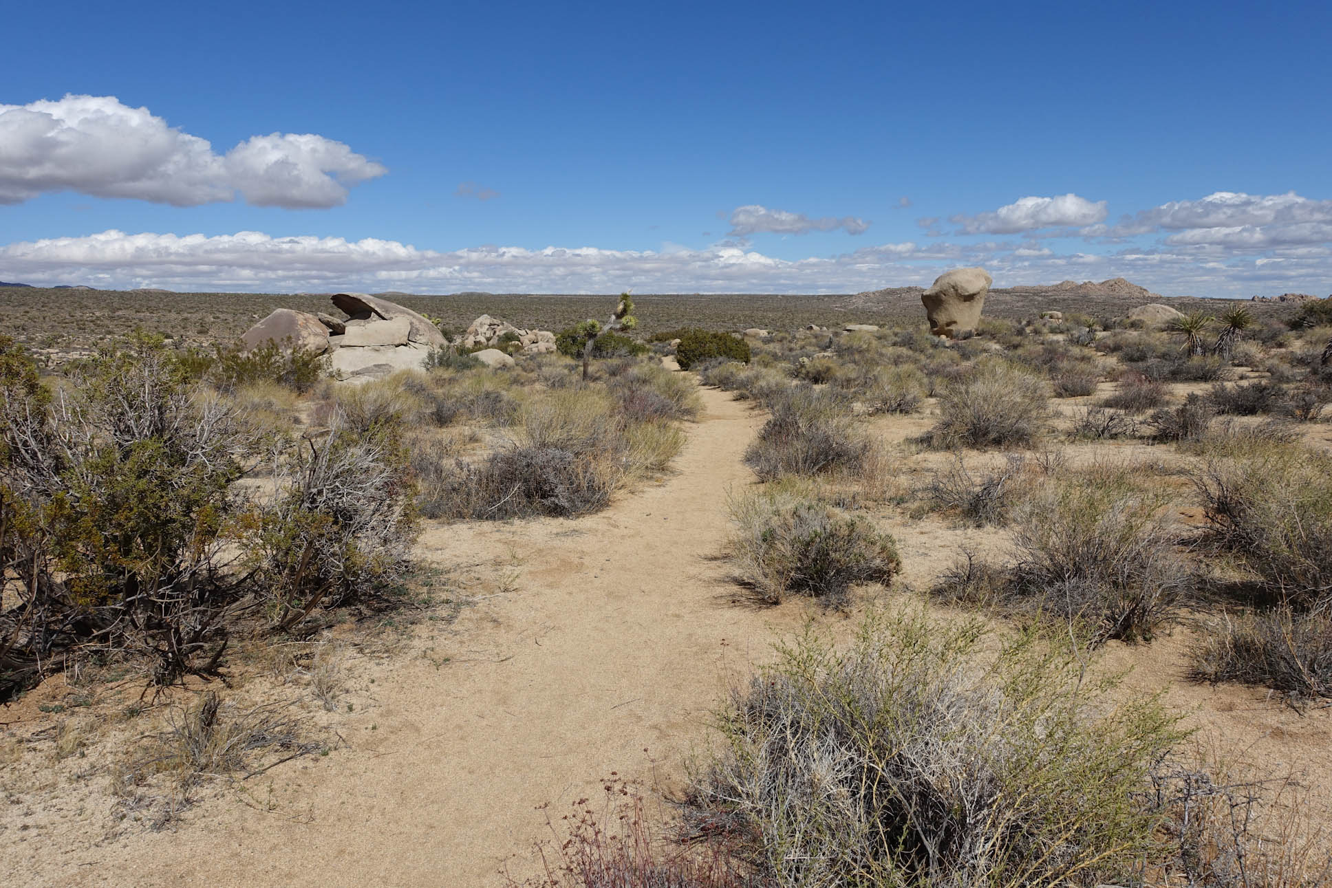
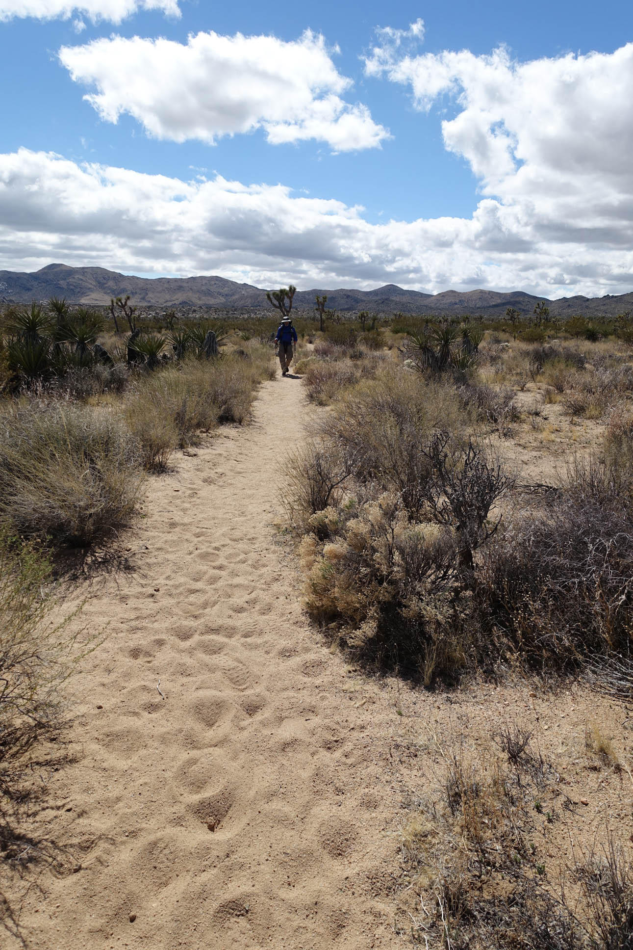
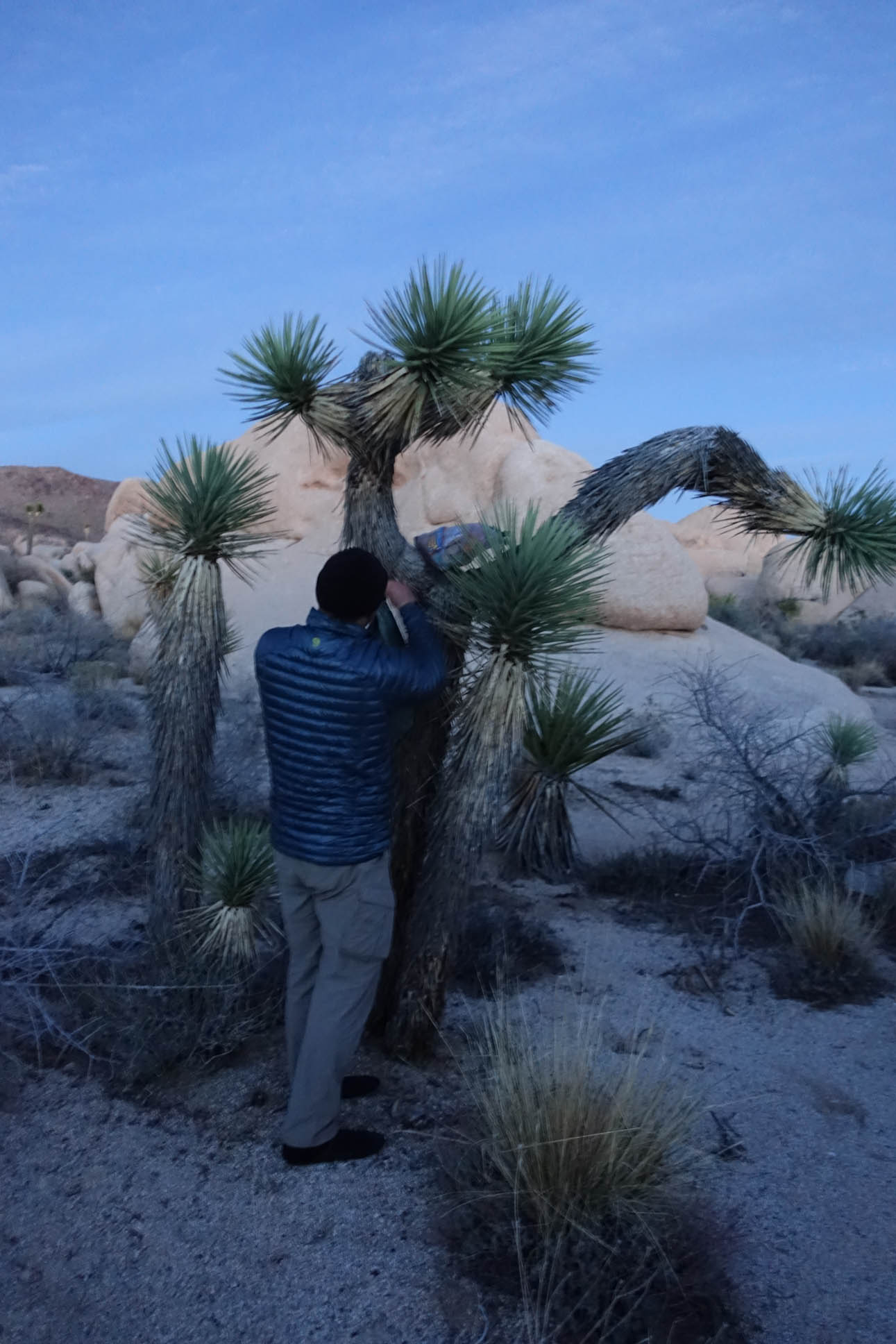
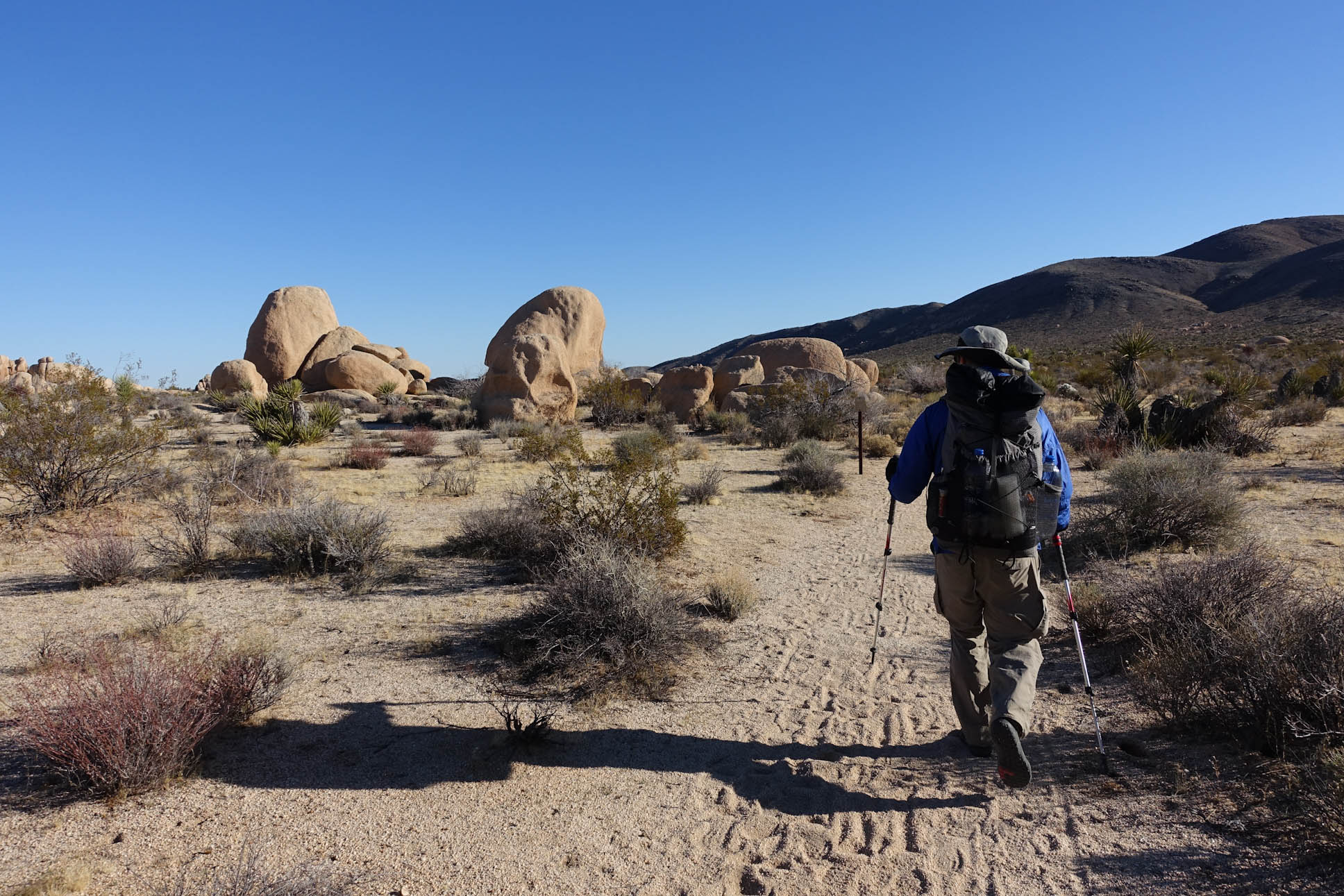
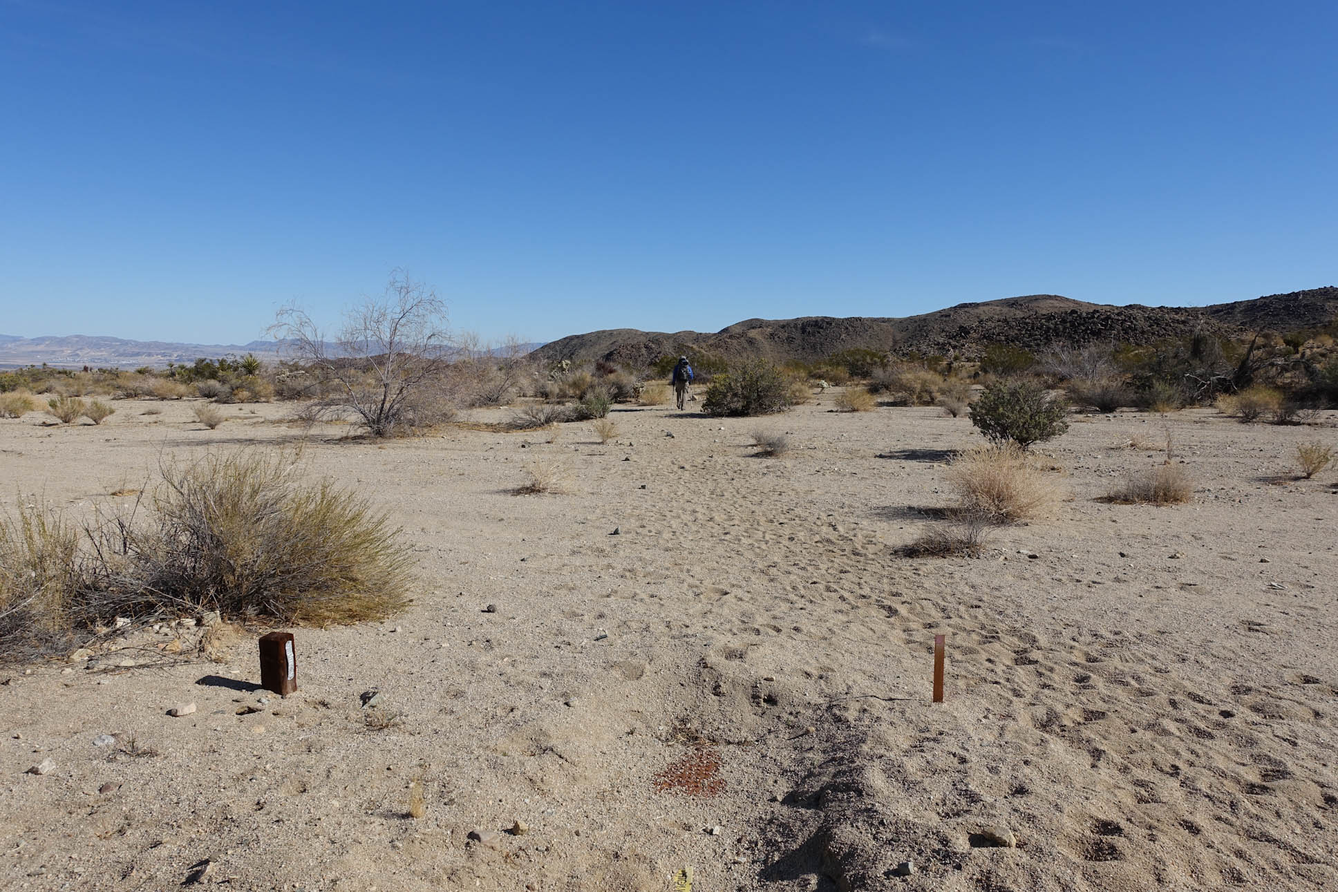
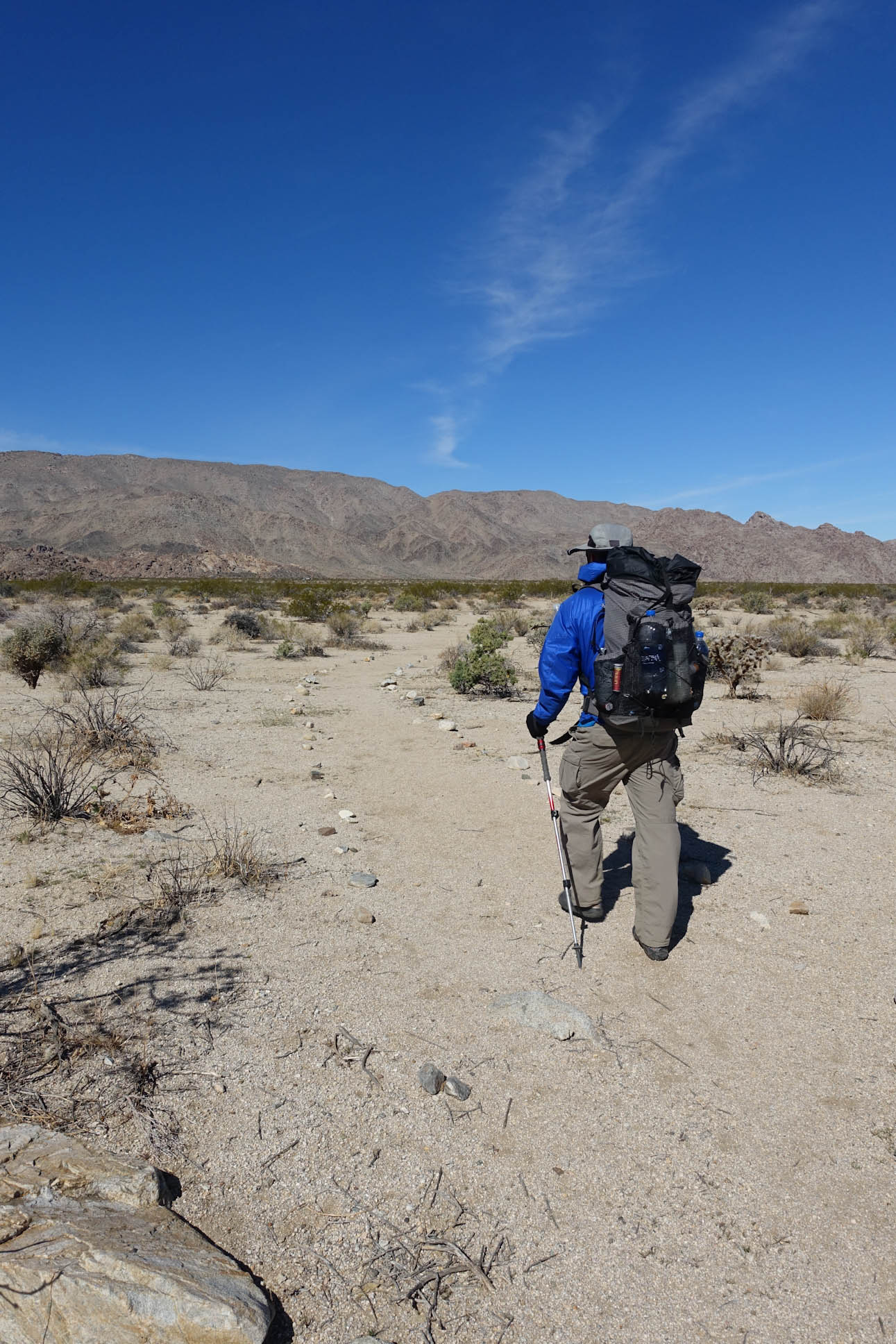
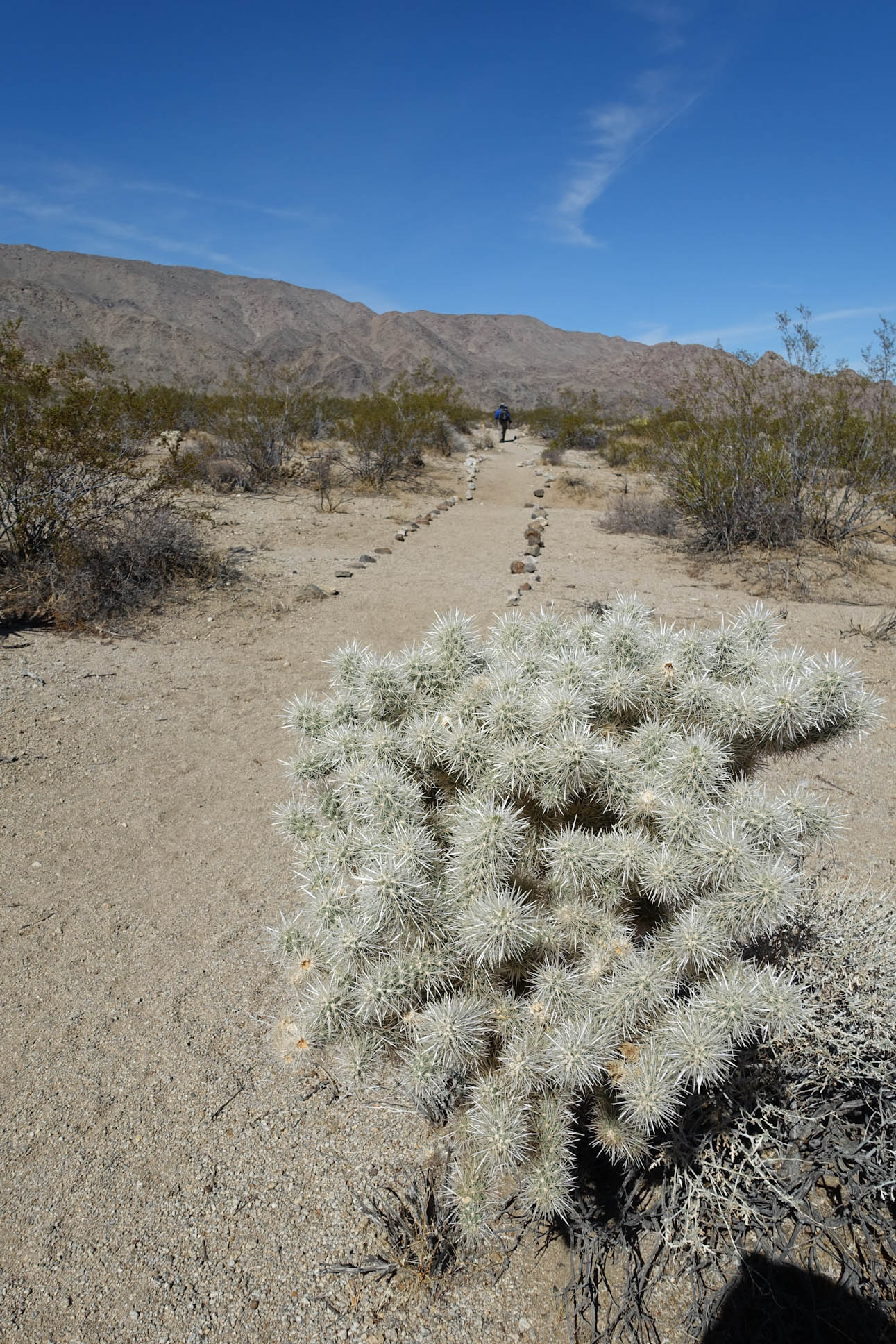
Working our way deeper into the trail and further away from civilization

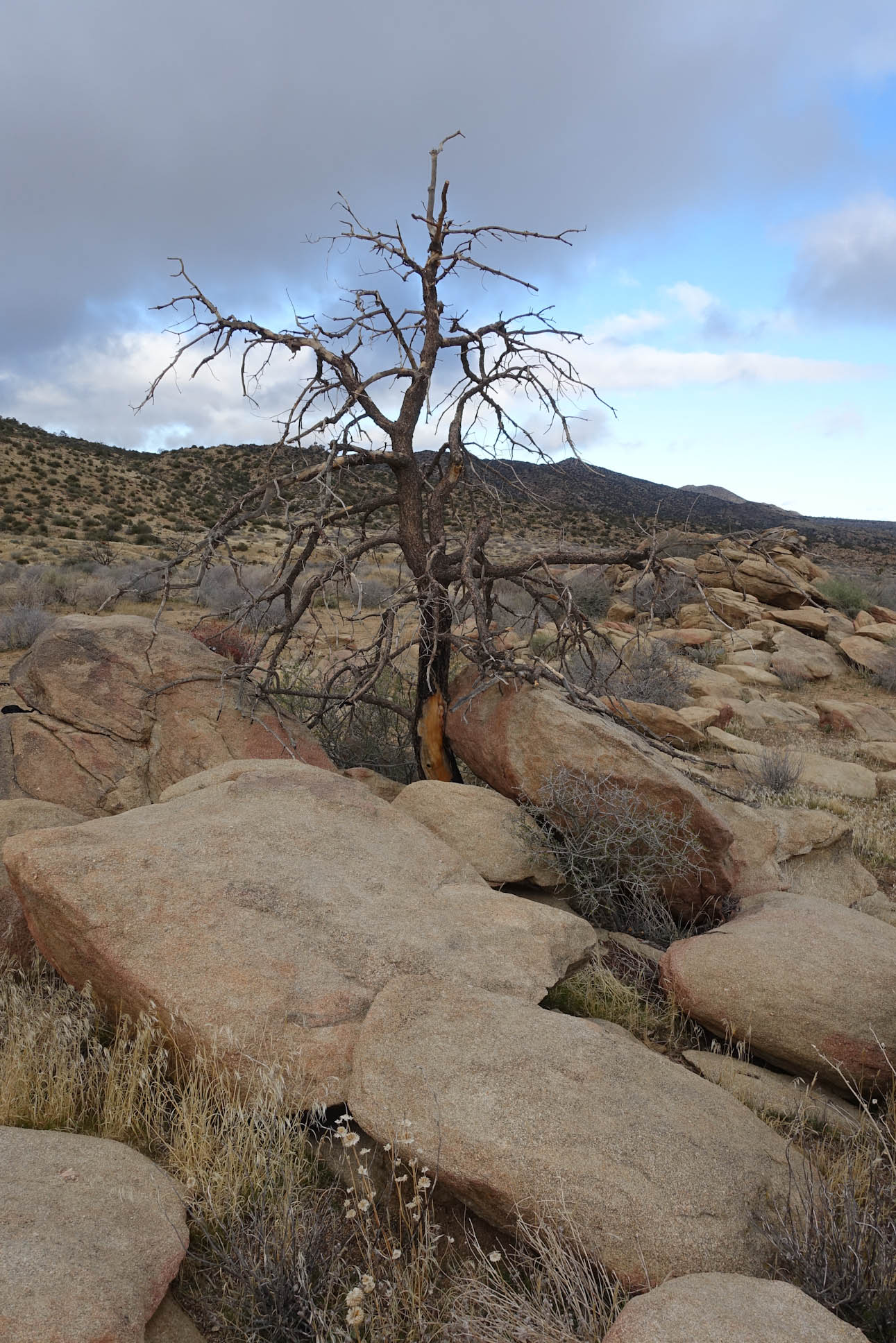
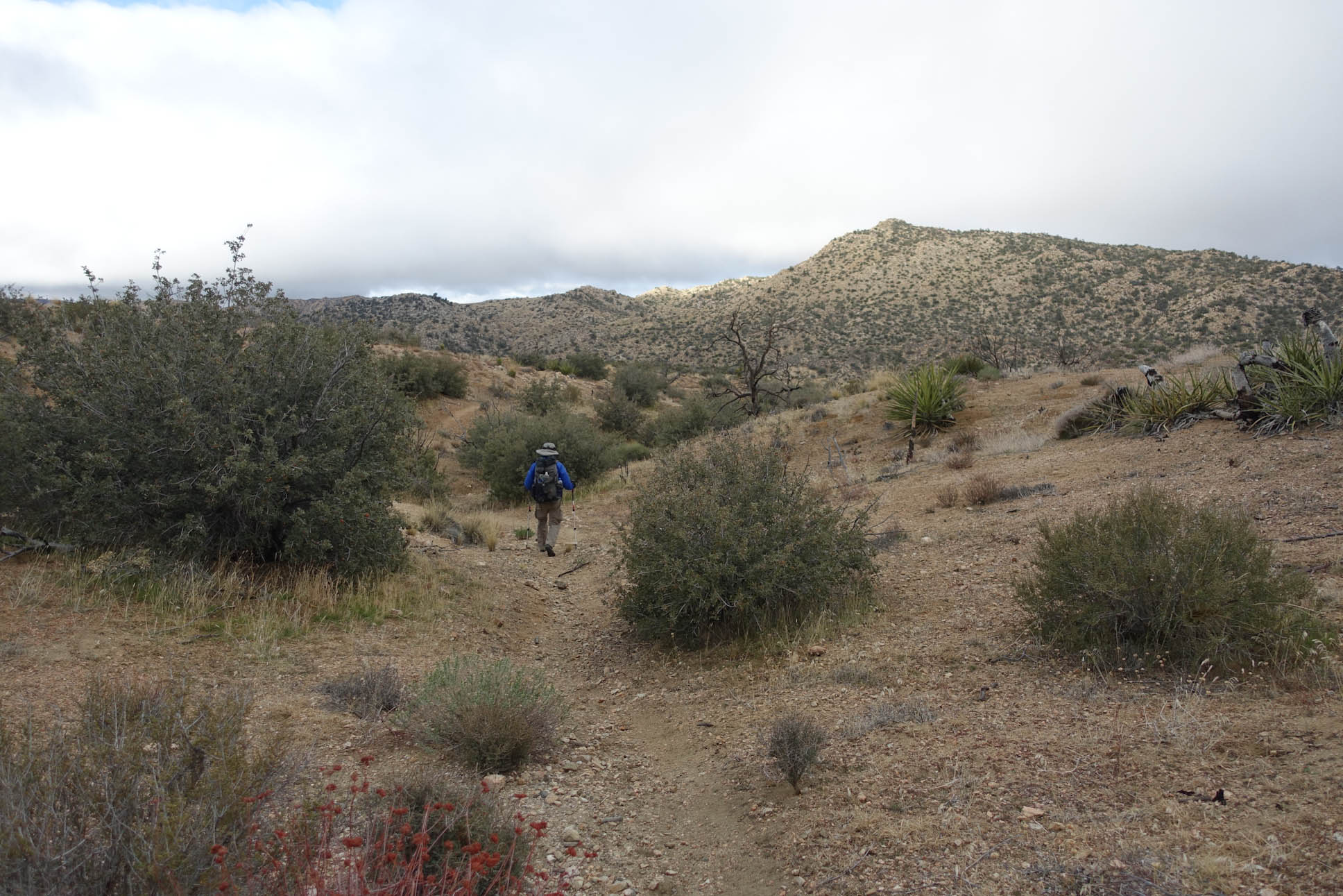
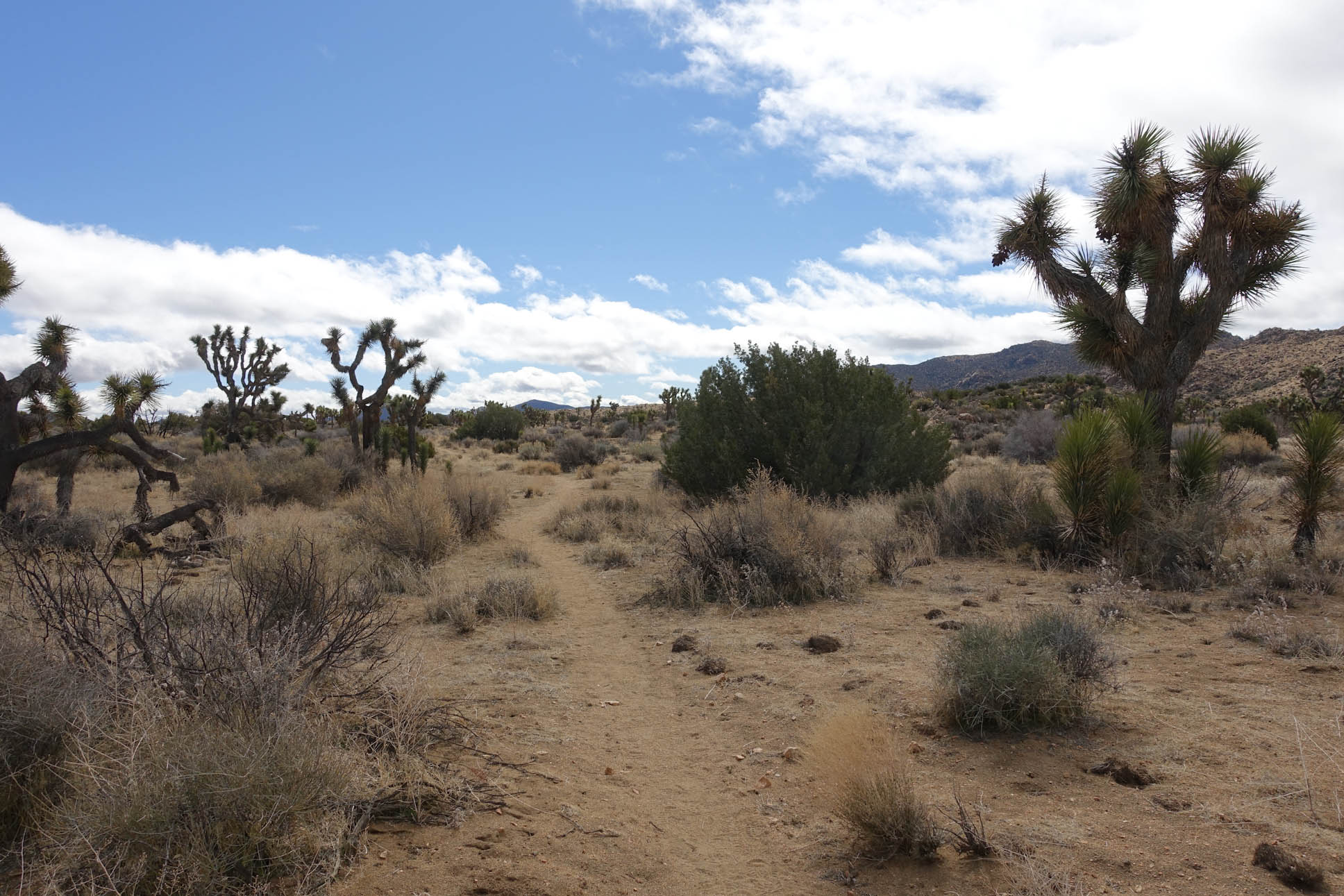
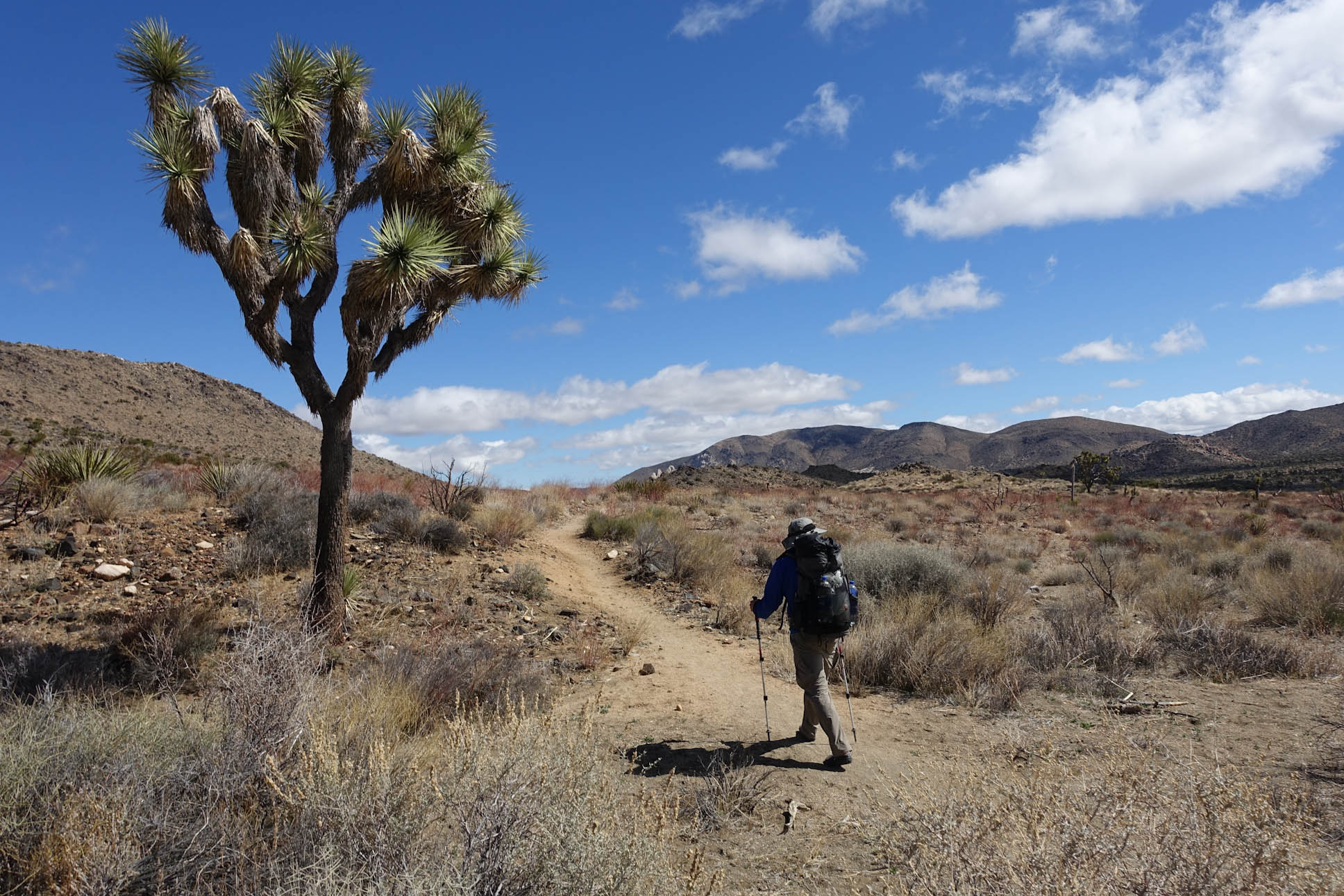
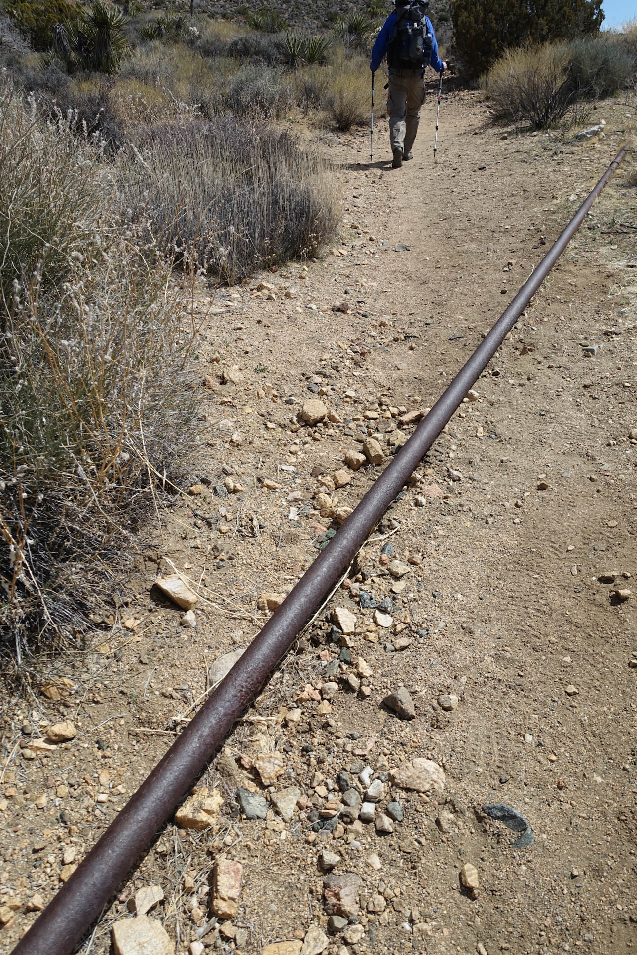
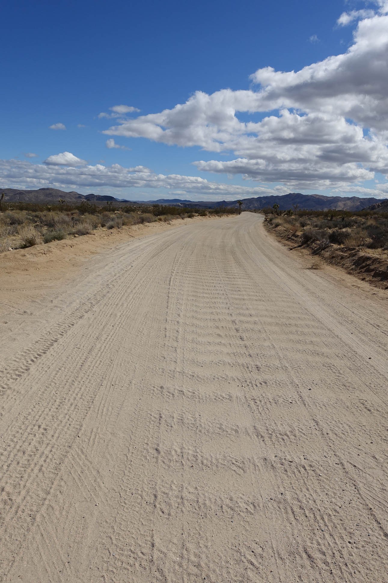
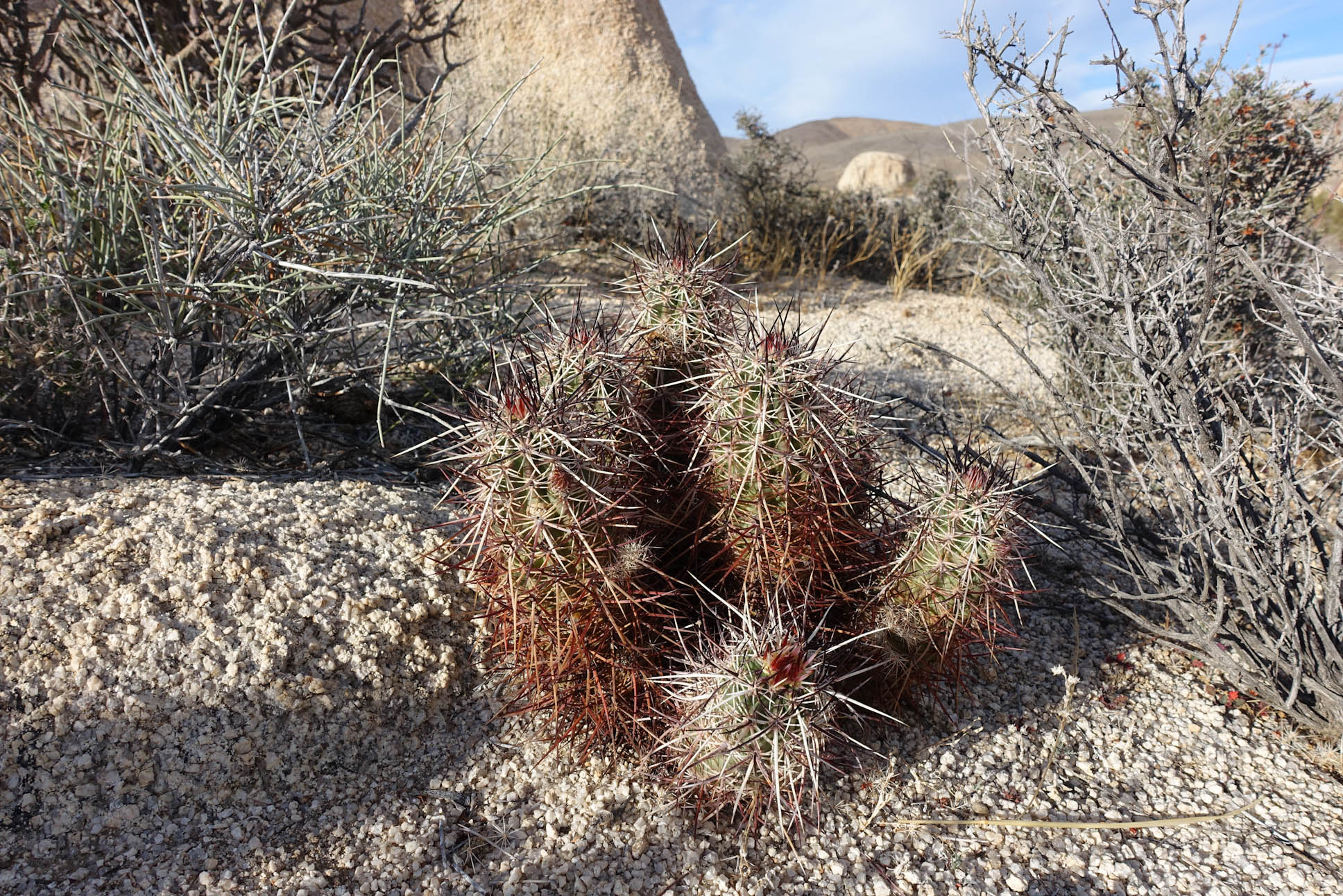
Much of the early part of the trail was simply following washes….dried, sandy river bed that created natural walk ways that were easy to follow.
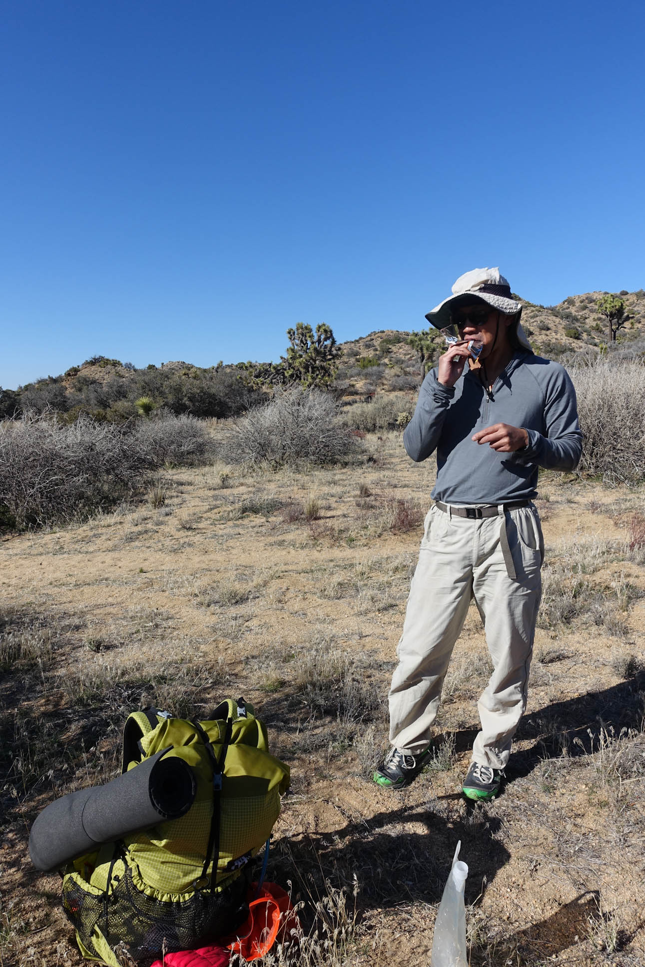
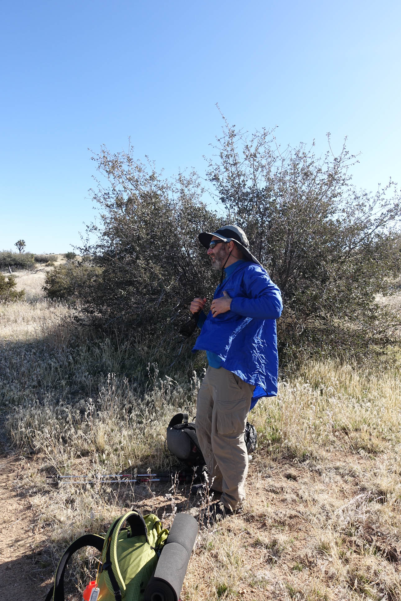
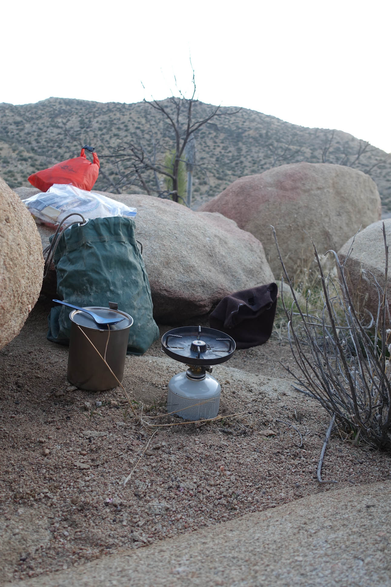
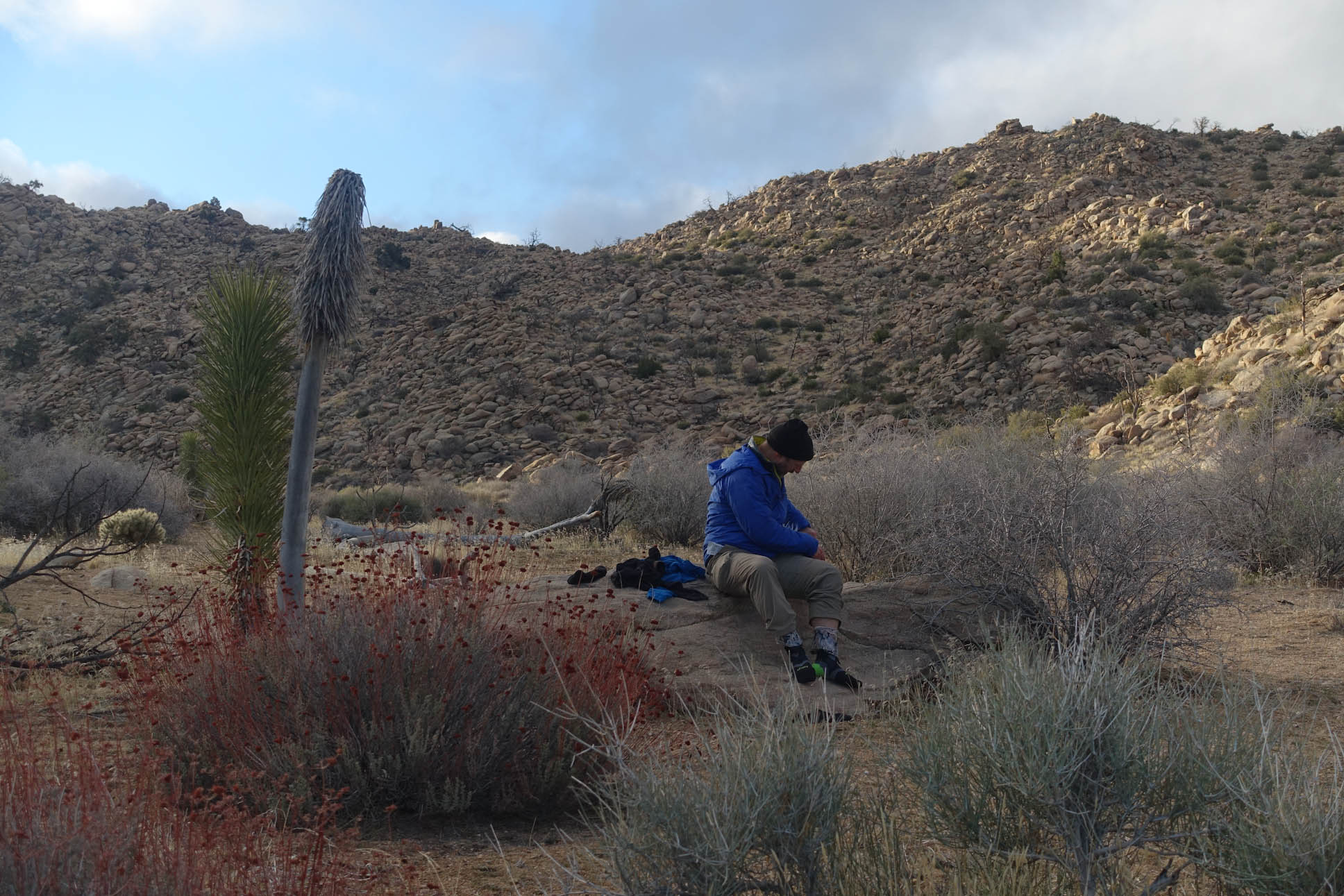
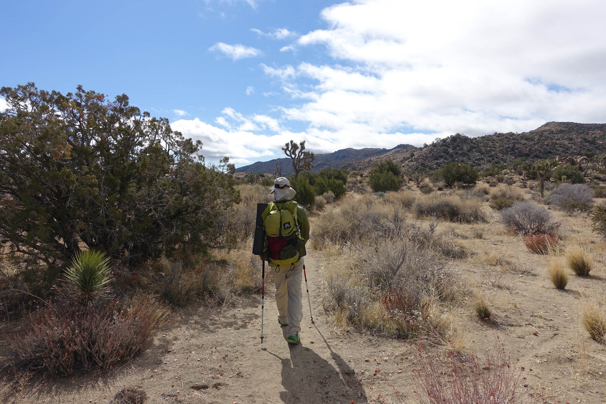
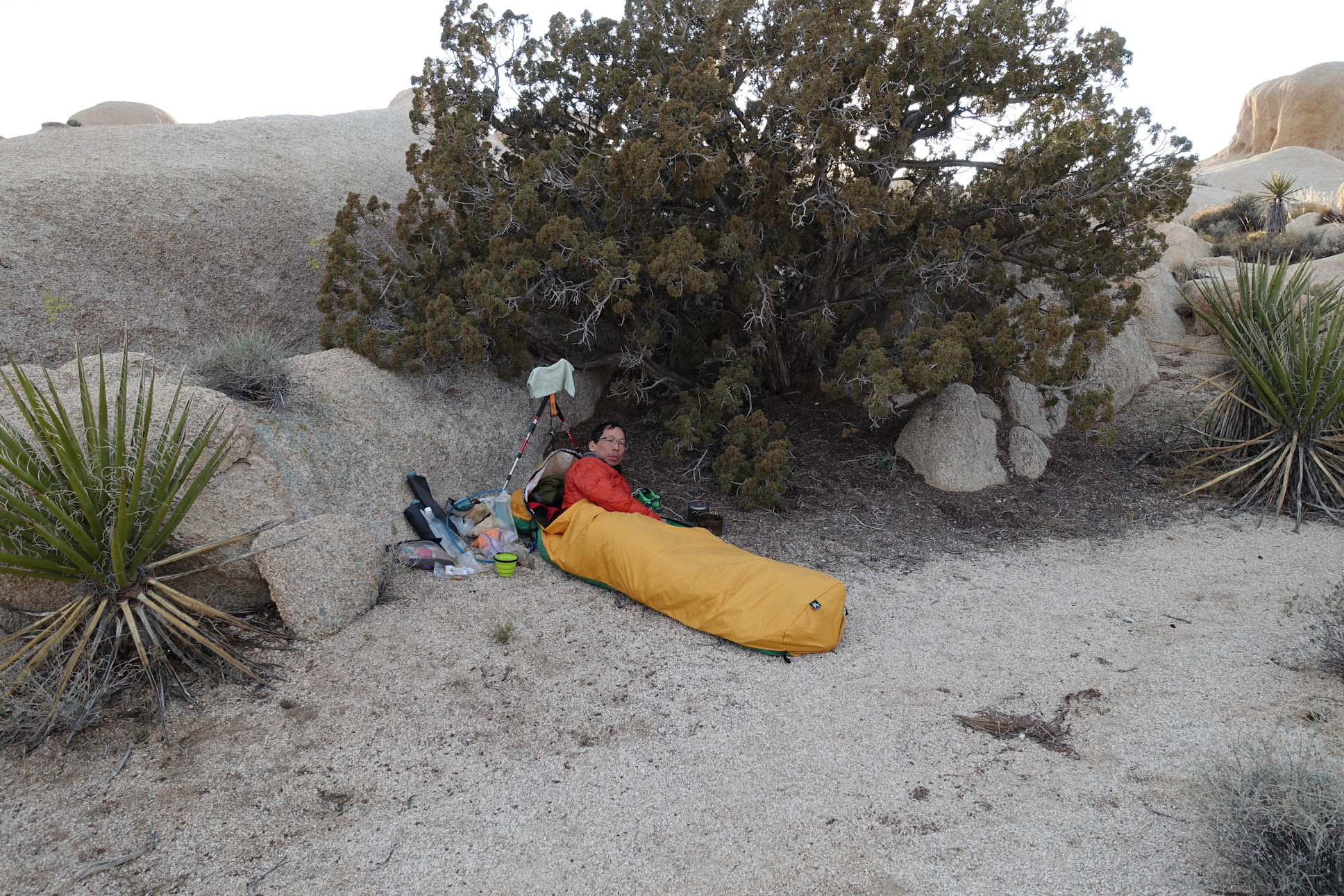
A Shady Spot for a Snack Break…..the sun was out, but the temperatures were mild. Essentially perfect weather for hiking. Cool enough to prevent you from sweating while hiking at a good pace. Sunglasses were as important as having a wind shirt and gloves.
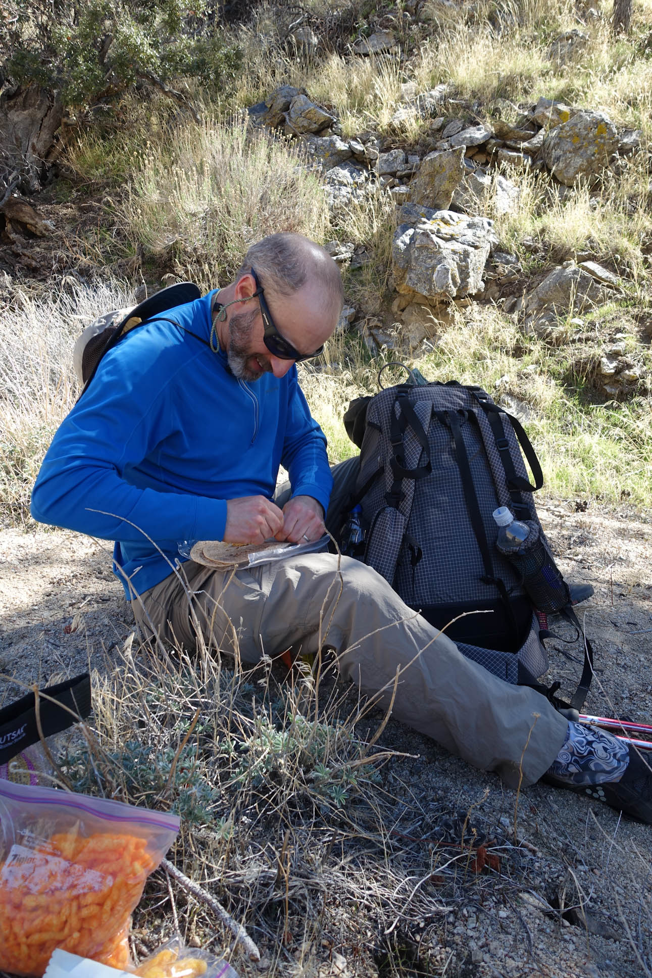
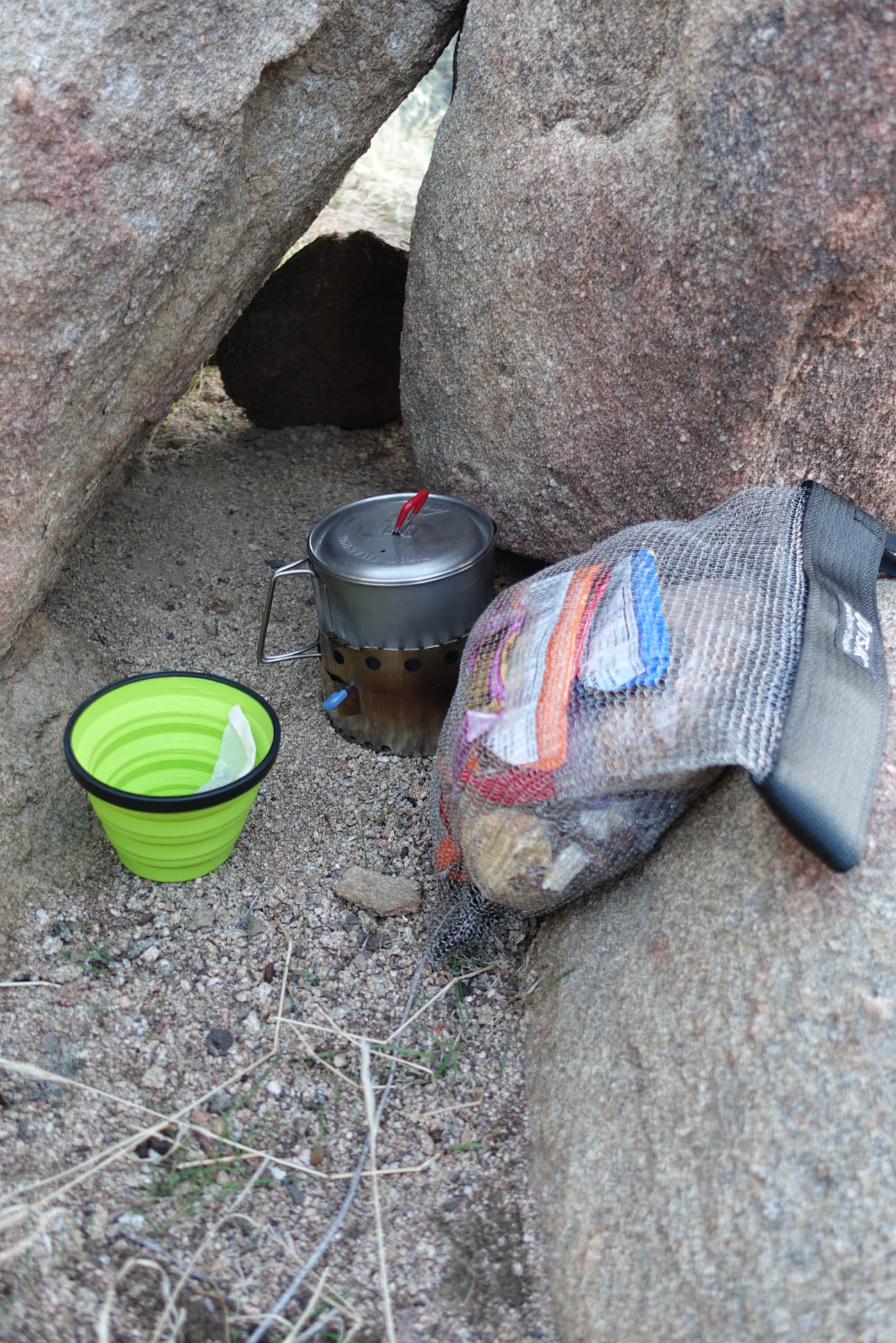
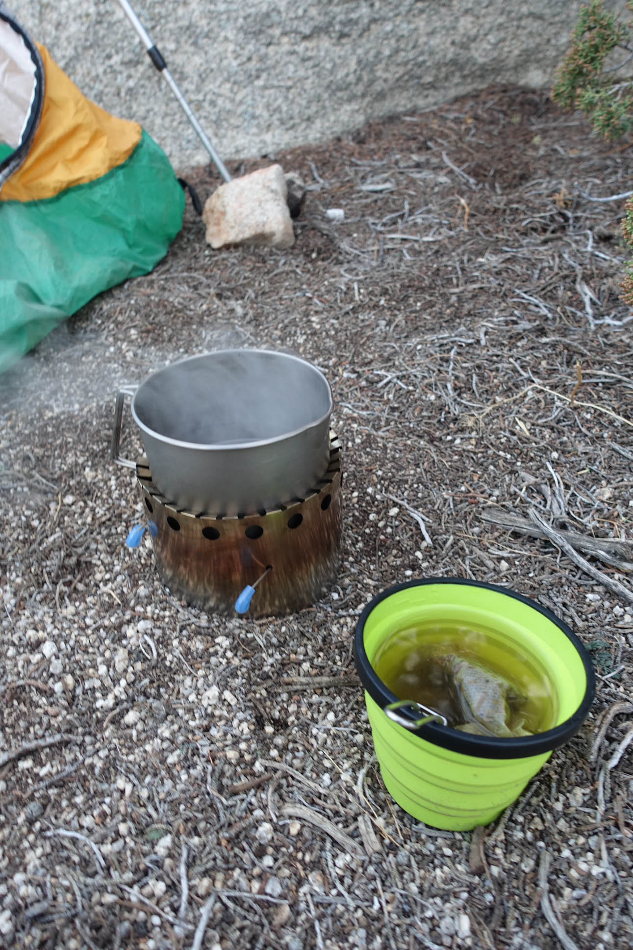
Healthy food for Jeremy….Cheetos for me because I cannot get enough Yellow Dye #5 in my diet
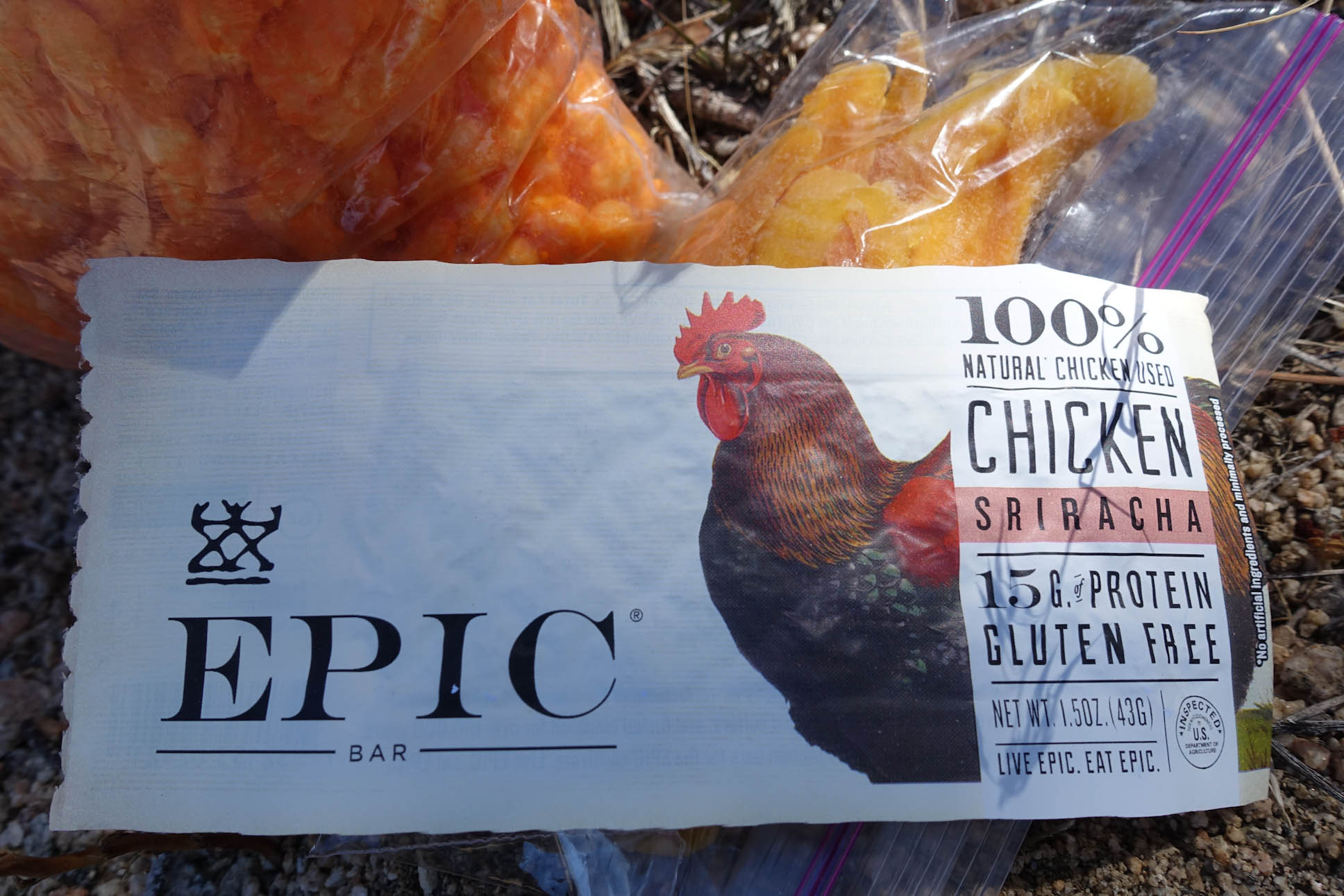
Jeremy’s Chicken Bar…never seen one of these before
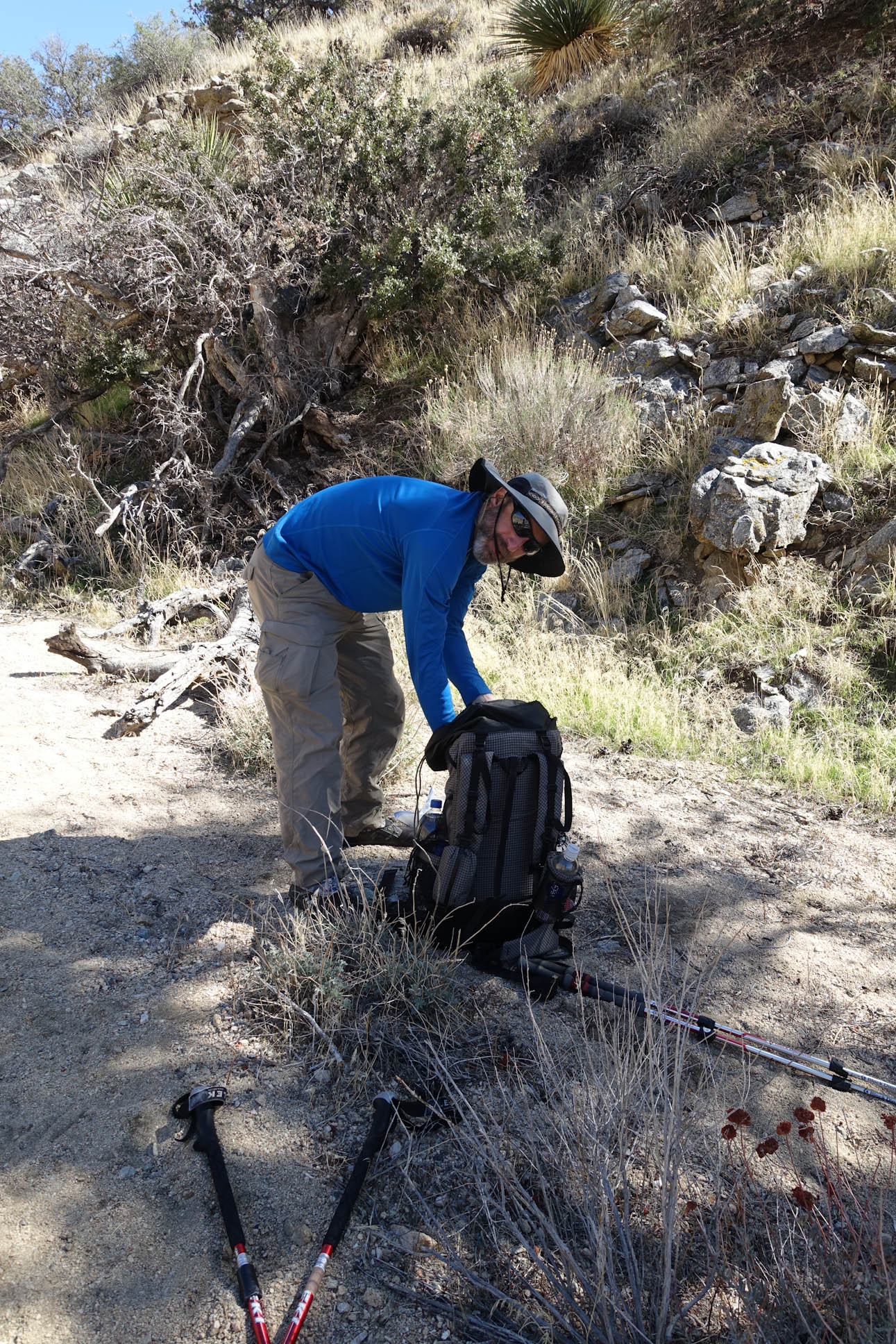
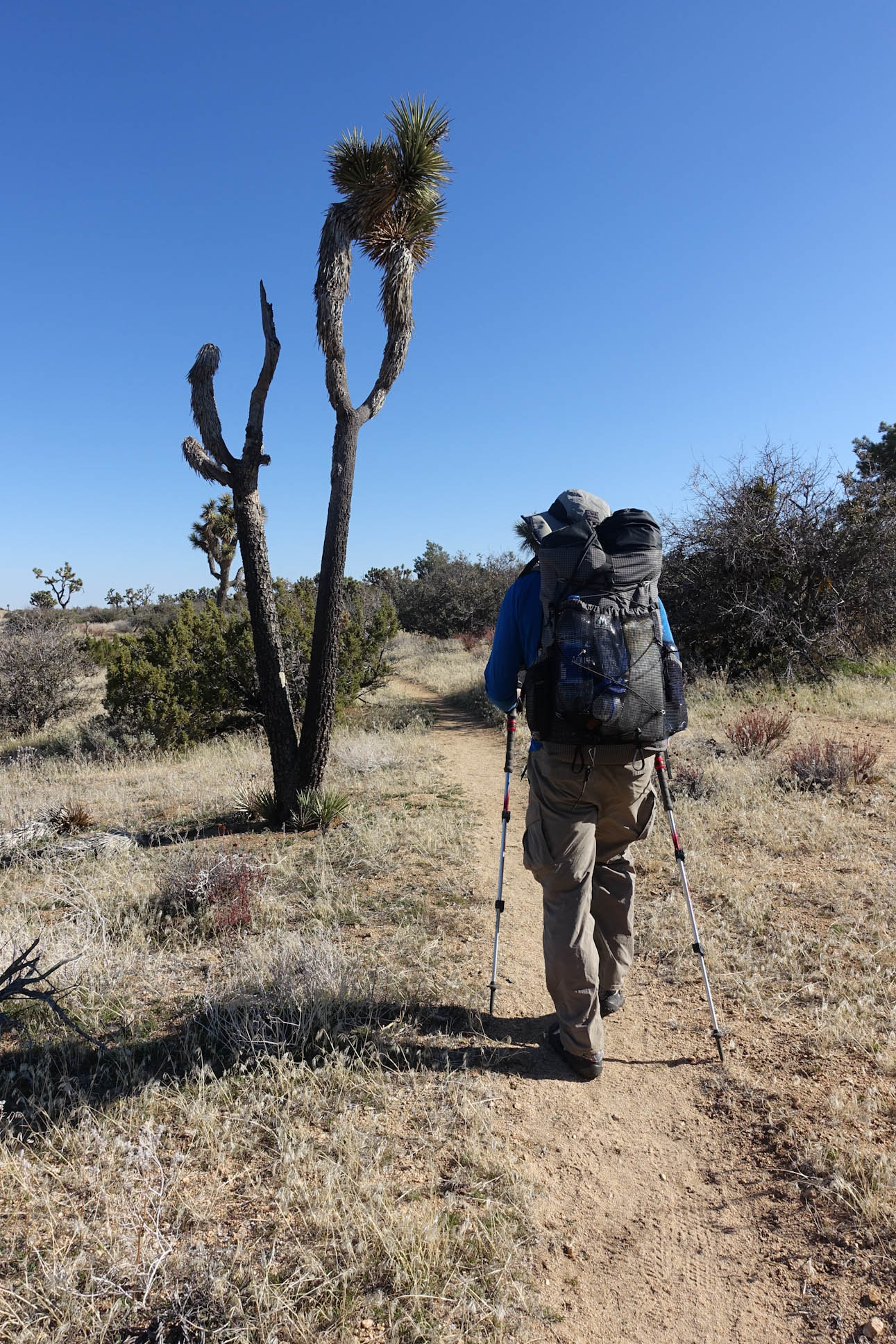
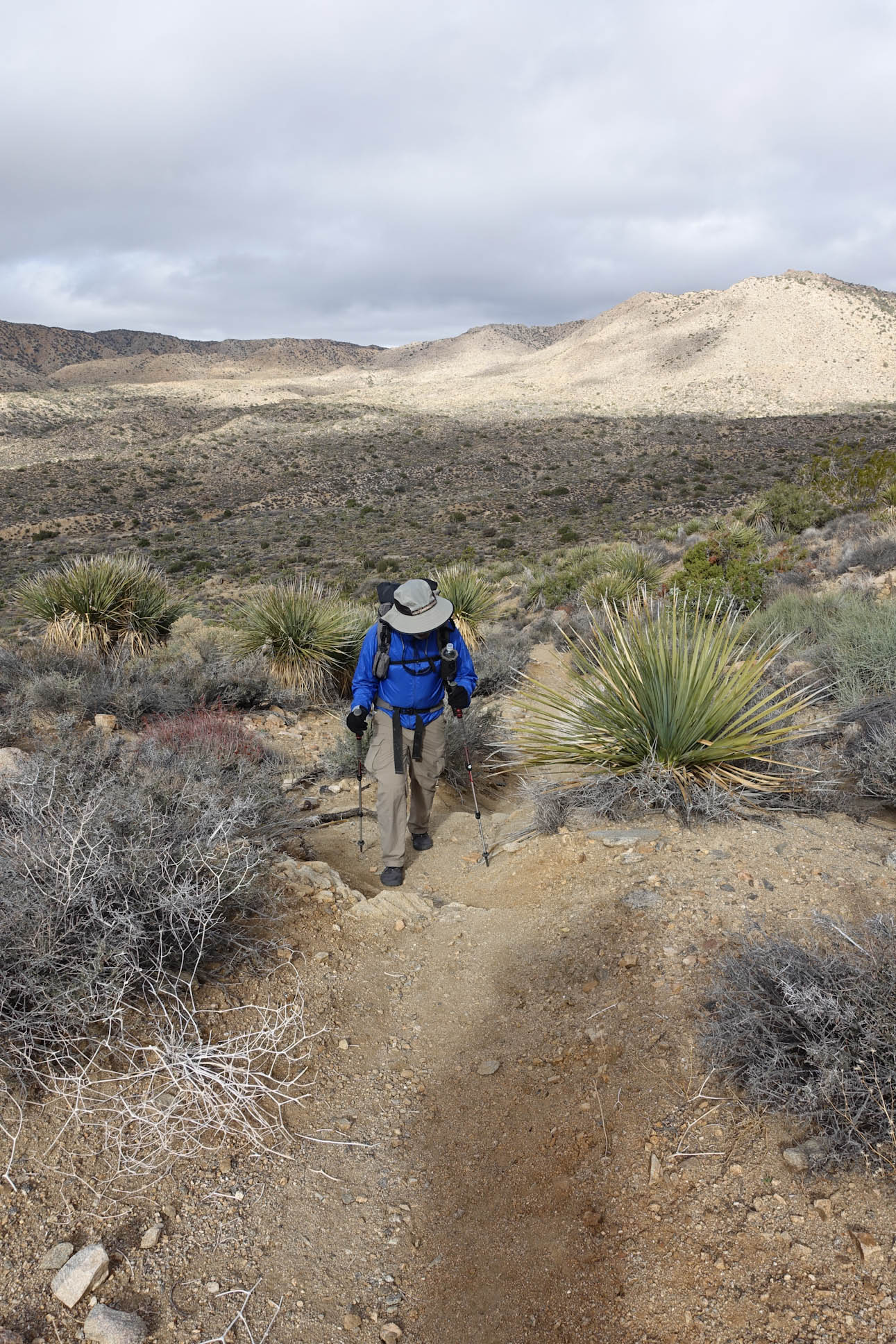
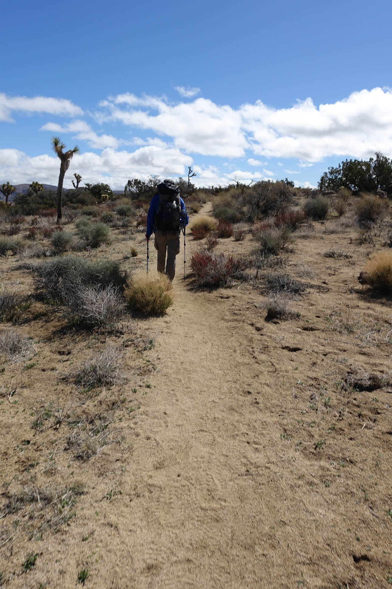
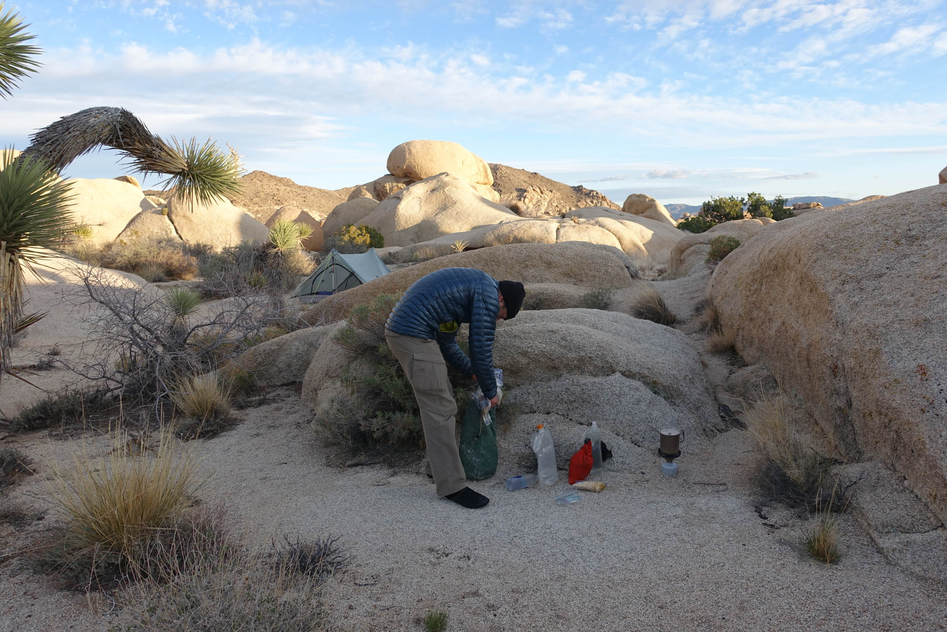
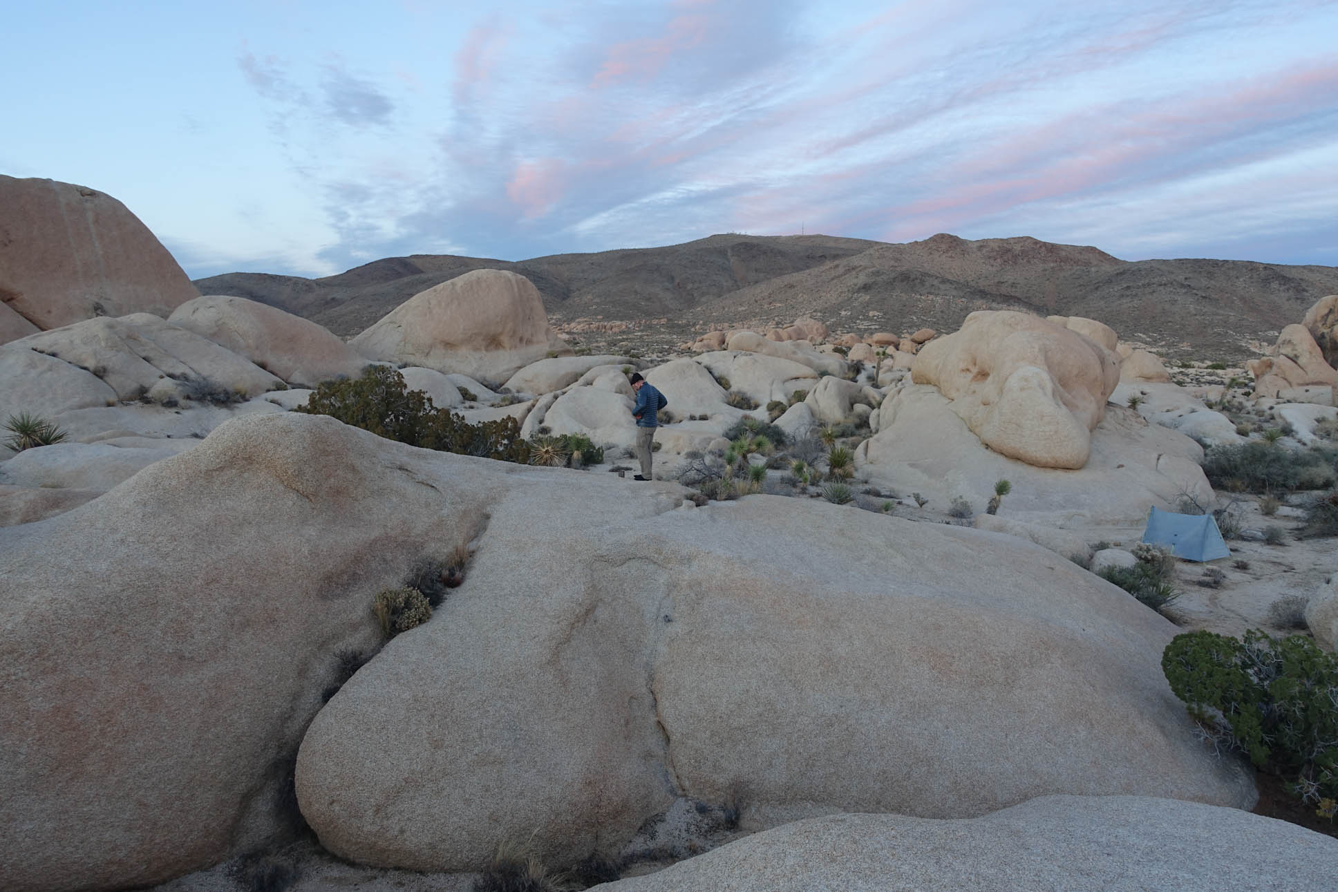
Packing up and moving out

Jeremy and I both have Mountain Laurel Design Exodus Packs with the Full Suspension Upgrades
https://mountainlaureldesigns.com/product/exodus-57l/
Link to Mountain Laurel Designs
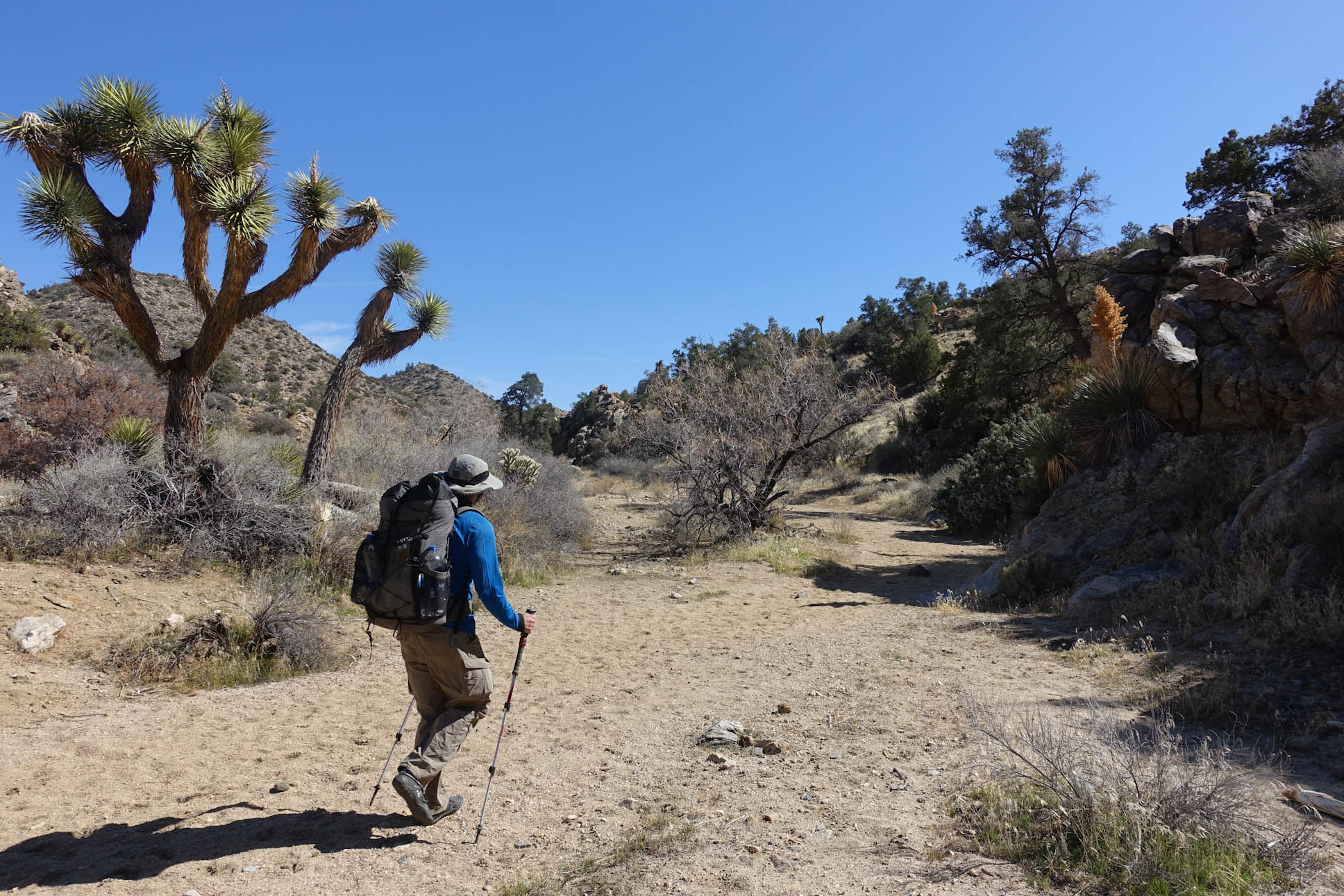
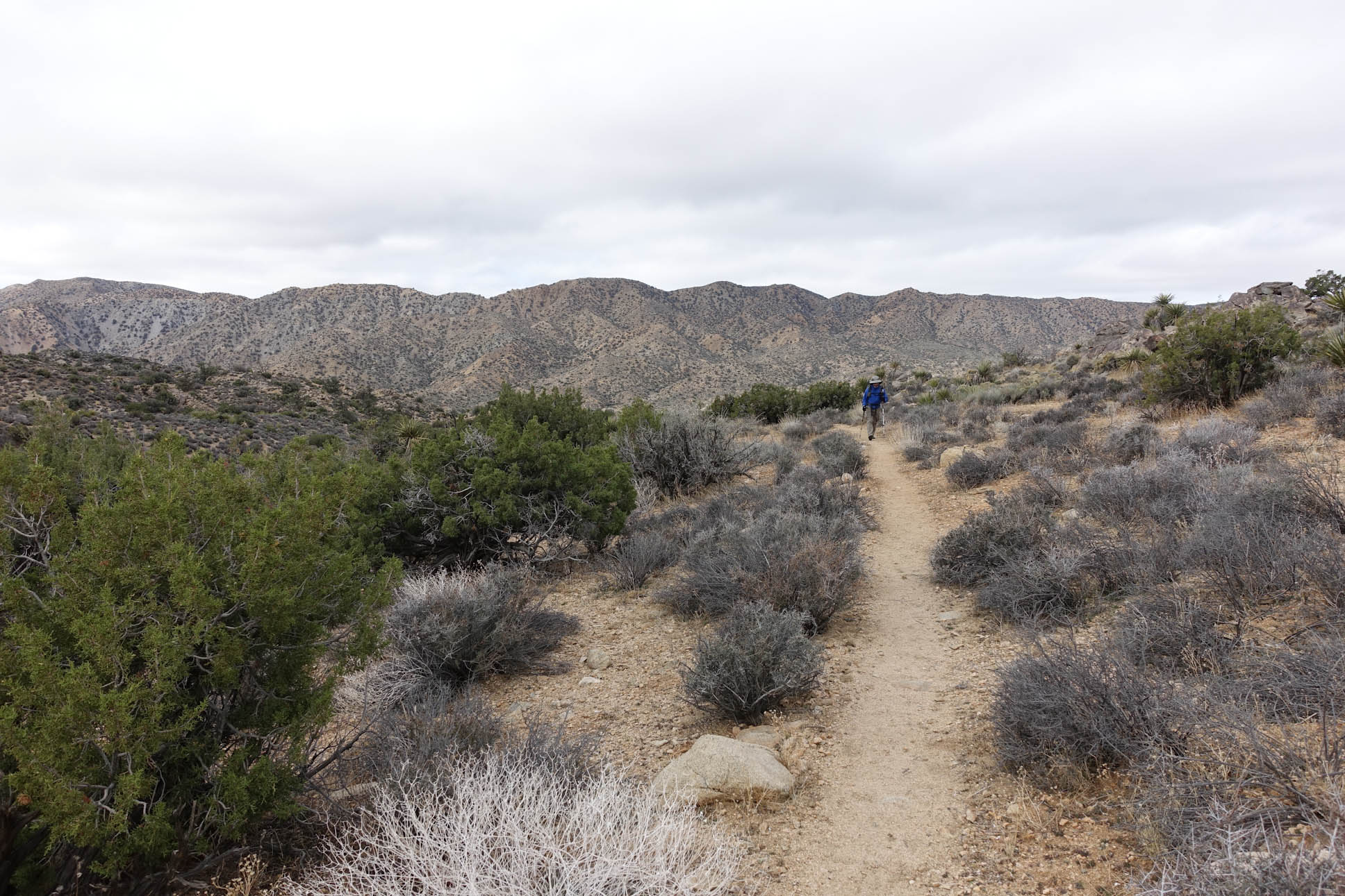
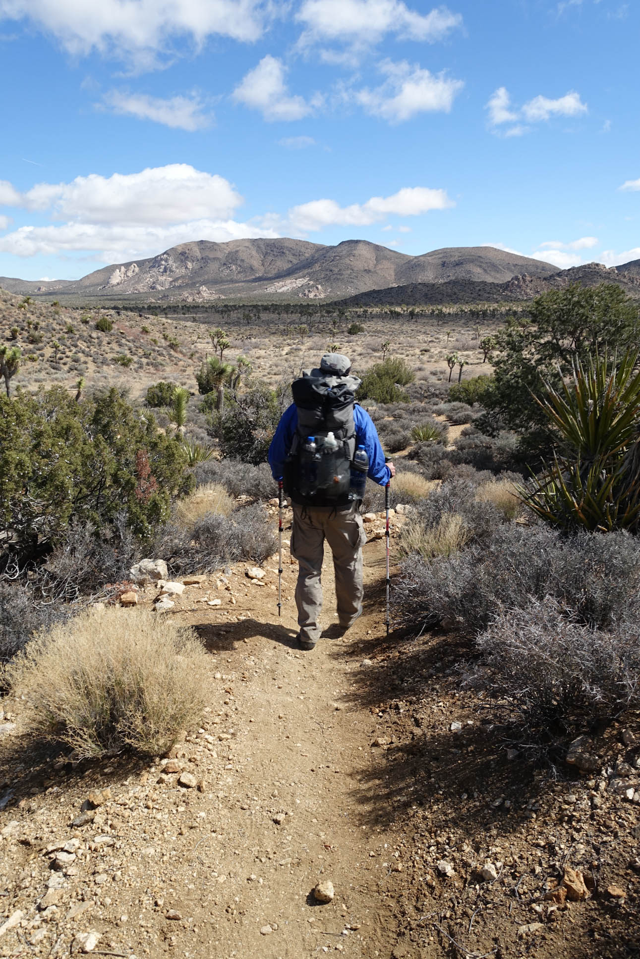
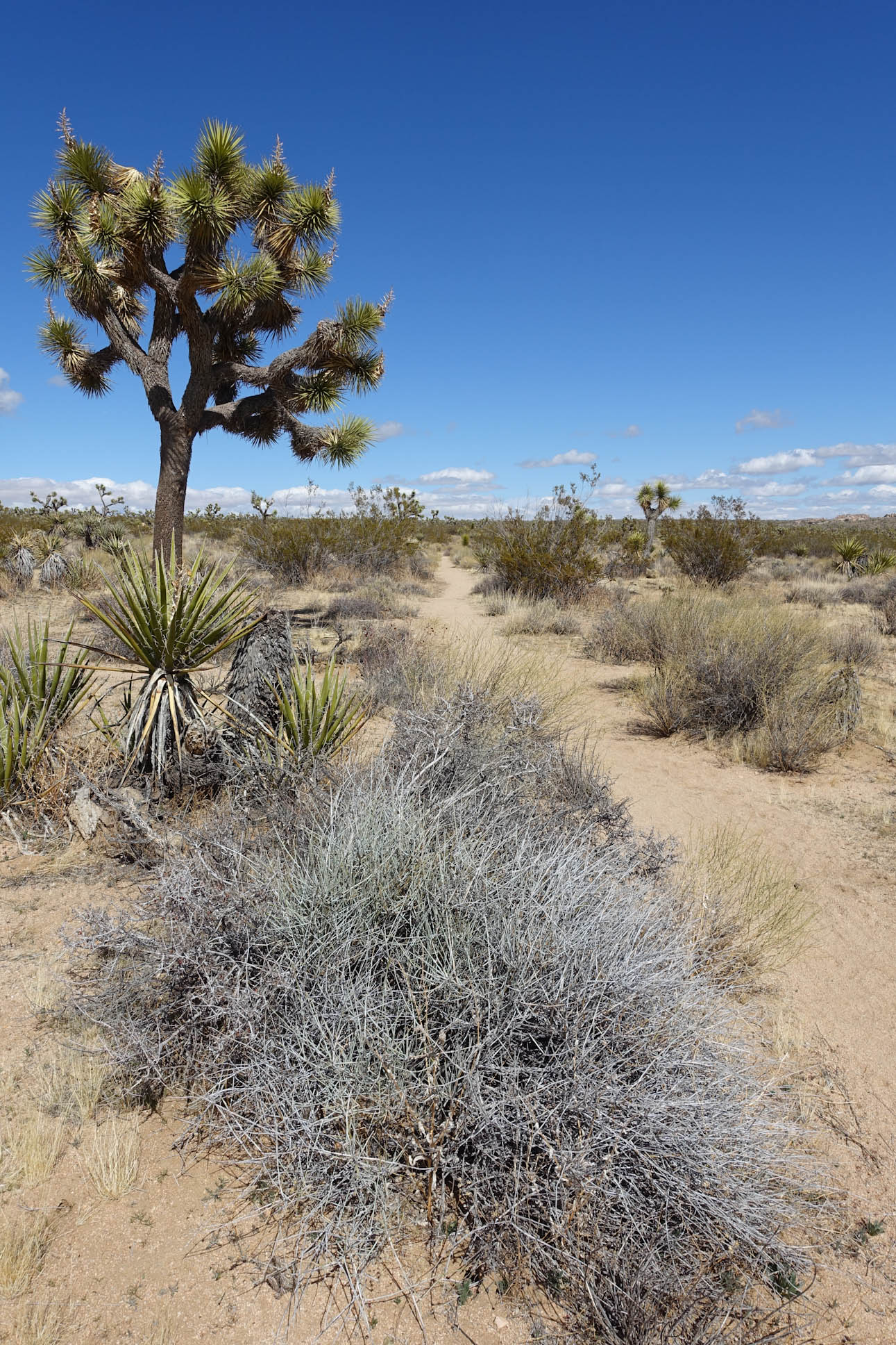
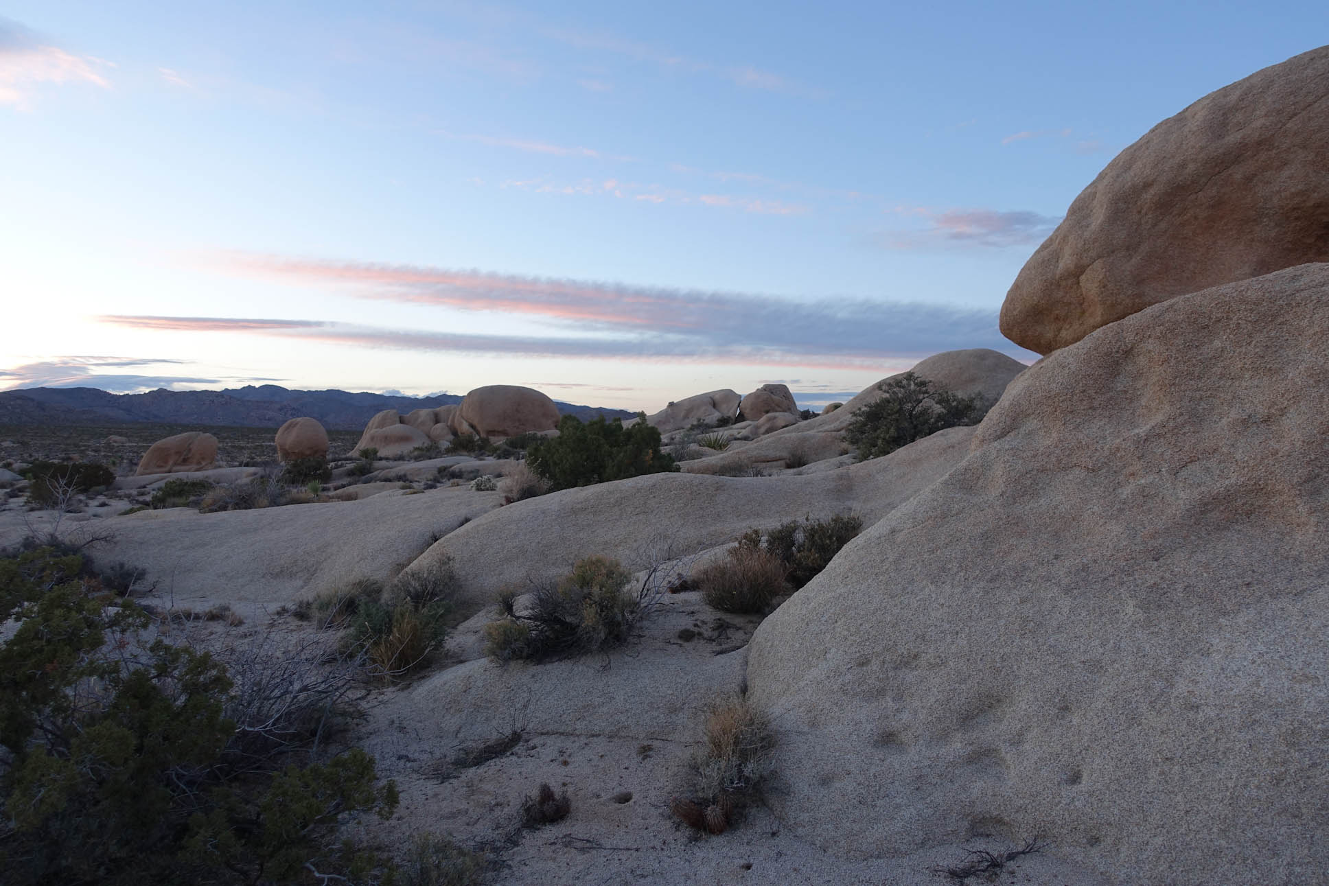
Joshua Tree along the Wash….the trail this afternoon would be a slow rise of about 1,000 ft over 7 miles, which made for a pretty gentle and easy trail.
Day 2 we hiked 21 miles. Started at about 8 in the morning and hiked until about 6 pm. It was pretty darn cold most of the day. Clouds and sun off and on, but never really warmed up above the mid 50s at best. (Per Jeremy)
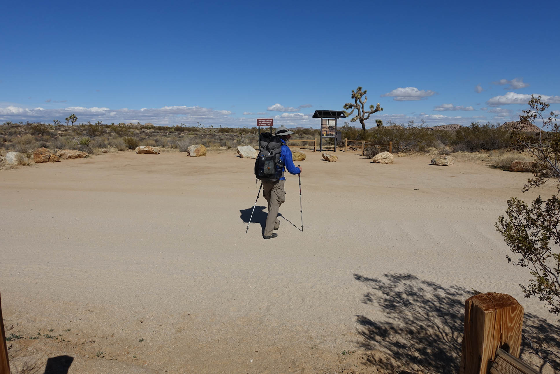
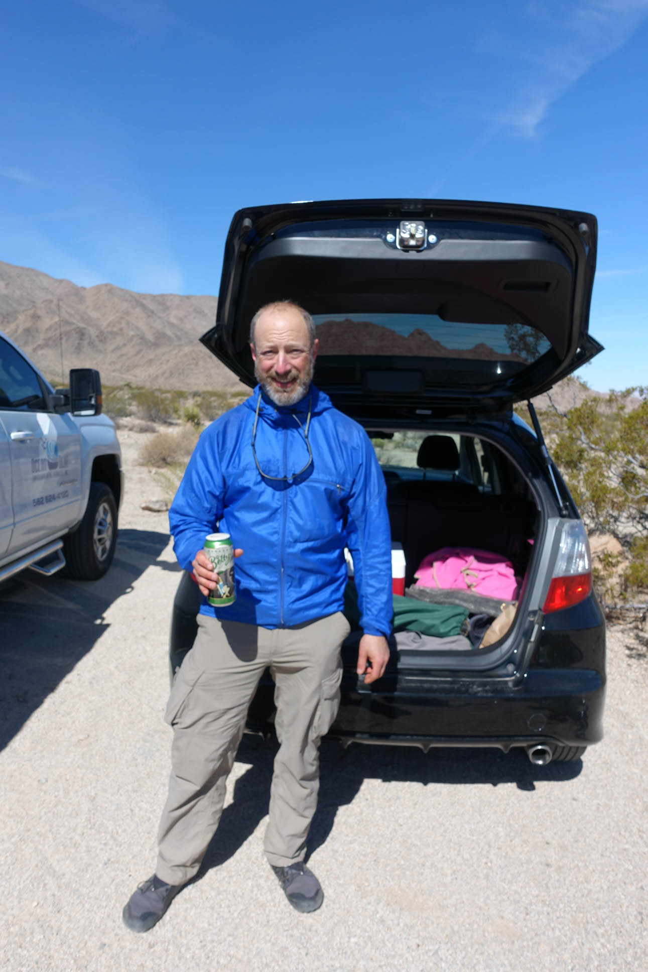
Day 3 We finished the hike with about 6.5 miles and made it to the North entrance backcountry trailhead parking by around 11 a.m. (Per Jeremy)