


I have been playing with tracking waypoints with both a SPOT3 and GAIA. How does one use the data from these sources to create the Google 3D views?
Topic
Become a member to post in the forums.
.
I have been playing with tracking waypoints with both a SPOT3 and GAIA. How does one use the data from these sources to create the Google 3D views?

By “Google 3D views” are you referring to imaging available in Google Earth? If so:
Most likely your devices export GPX files. Google Earth likes KML files. Thus, a conversion is needed. There are many free GPX to KML converters available, like this: GPX 2 KML.

As Alex mentioned, to import waypoints to Google earth, it needs to be in kml. Use the gpx to kml converter if you have saved them in gpx format.
If you are on Android, you can use oruxmaps to save points and tracks as either gpx or kml.
If you save kml data to Google drive, you can then use the Google earth mobile app to view it.
If your data is in some other format, try converting it using gpsbabel.
Google Earth will import gpx, loc, etc and other files directly. Menu option Tools -> GPS then choose file or Garmin etc if you have a device connected to the computer running Google Earth.
Once imported, you can view your tracks, waypoints etc in Google Earth or you can export it as a kml track etc.
“Google Earth will import gpx, loc, etc and other files directly.”
Wow, it does. File>open works too. Thanks!
I’m pretty sure this wasn’t always the case though. GE must have been updated to allow native support for GPX files, right? “Can I get a witness?!”
Definitely new feature. Very nice to have. And good to know. Thanks pedestrian!
“Definitely new feature. Very nice to have. And good to know. Thanks pedestrian!”
You’re welcome – been using it for at least 2 years now….maybe 3. It is easily overlooked as it was only available under the Tools -> GPS menu in earlier versions of Google Earth.
Become a member to post in the forums.
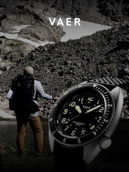 Vaer C4 Tactical Field SolarDurable timepiece for wilderness users - 20ATM (200m) water resistance, 120-click bezel, 316L SS casing, sapphire glass, solar-powered, Epson VS-42 Japanese movement, C3 Lume, USA assembly.
 © Beartooth Media Group Inc.
 Loading...