Trip report from our community trip Oct 31 – Nov 2, 2025.
- Locale: Colorado, Southeastern RMNP
- Route overview: a mostly off-trail circumnavigation of several alpine lake basins; our route stayed in the 10,600 ft to 12,000 ft elevation bands – near and above treeline; distance around 20 miles, total elevation gain about 5 to 6k.
- Terrain: about 5 miles of trail at the beginning, 8 miles of trail at the end, a mile or so of trail in the middle, some “unmaintained use paths” near treeline, and a bit of forest bushwhacking, alpine meadows/tundra, talus, and a couple of high elevation passes.
- Weather: low temps down to 19 °F, high temps in the 30s and 40s; steady winds (20 to 30 mph) with stronger gusts, almost continuously for our first two days, then it abated a bit by the morning of day 3.
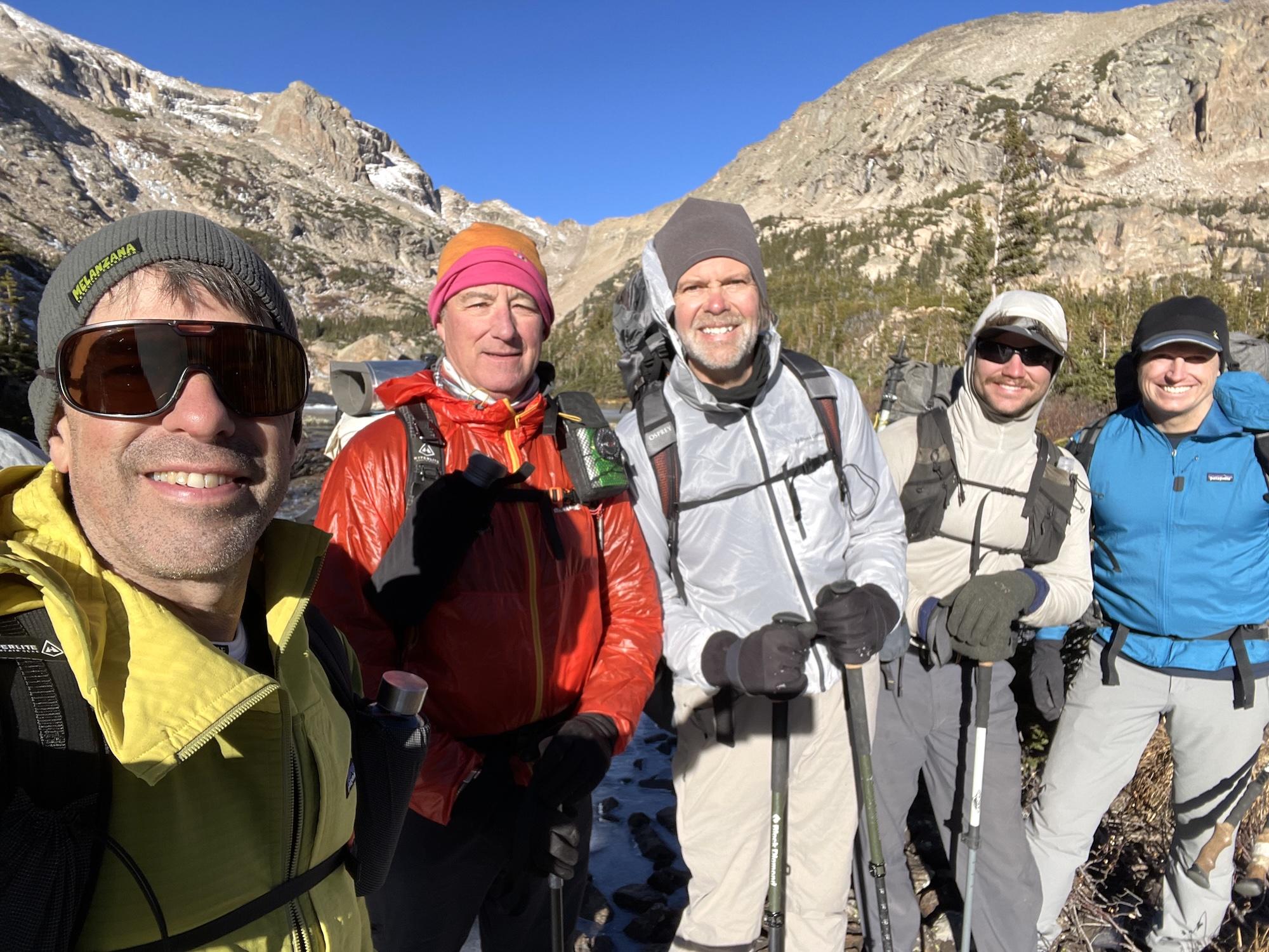
The group L to R: Ryan, Jeff, Ian, Scott, Tyler (Leo not shown)
Vignettes:


