


Topic
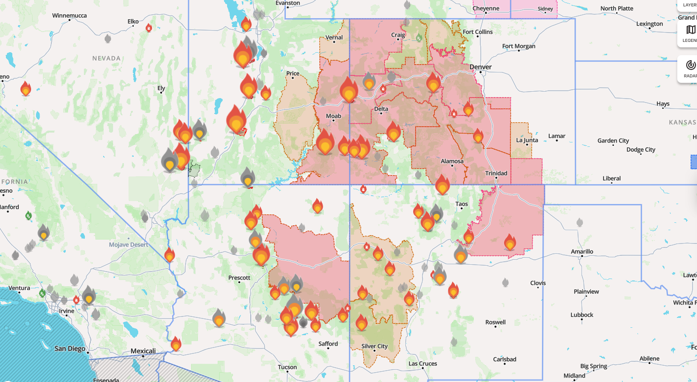
Active Wildfire Map
Become a member to post in the forums.
- This topic has 14 replies, 7 voices, and was last updated 2 months ago by
 .
.
Viewing 15 posts - 1 through 15 (of 15 total)

FYI – I use Watch Duty online and as an app. Living in Southern California, it is almost a must to have. My 2 cents.

I use ventusky to see where smoke is. You may have to click on “PM2.5”. If you click on “play” it will show you the smoke forecast for the next few days…
https://www.ventusky.com/air-quality-map/pm25#p=45.4;-117.7;4

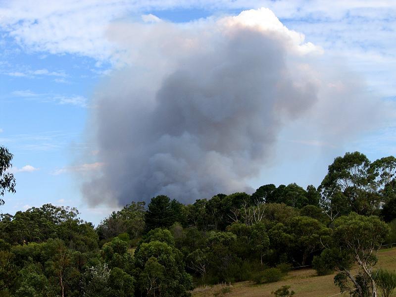
They can be ‘exciting’.
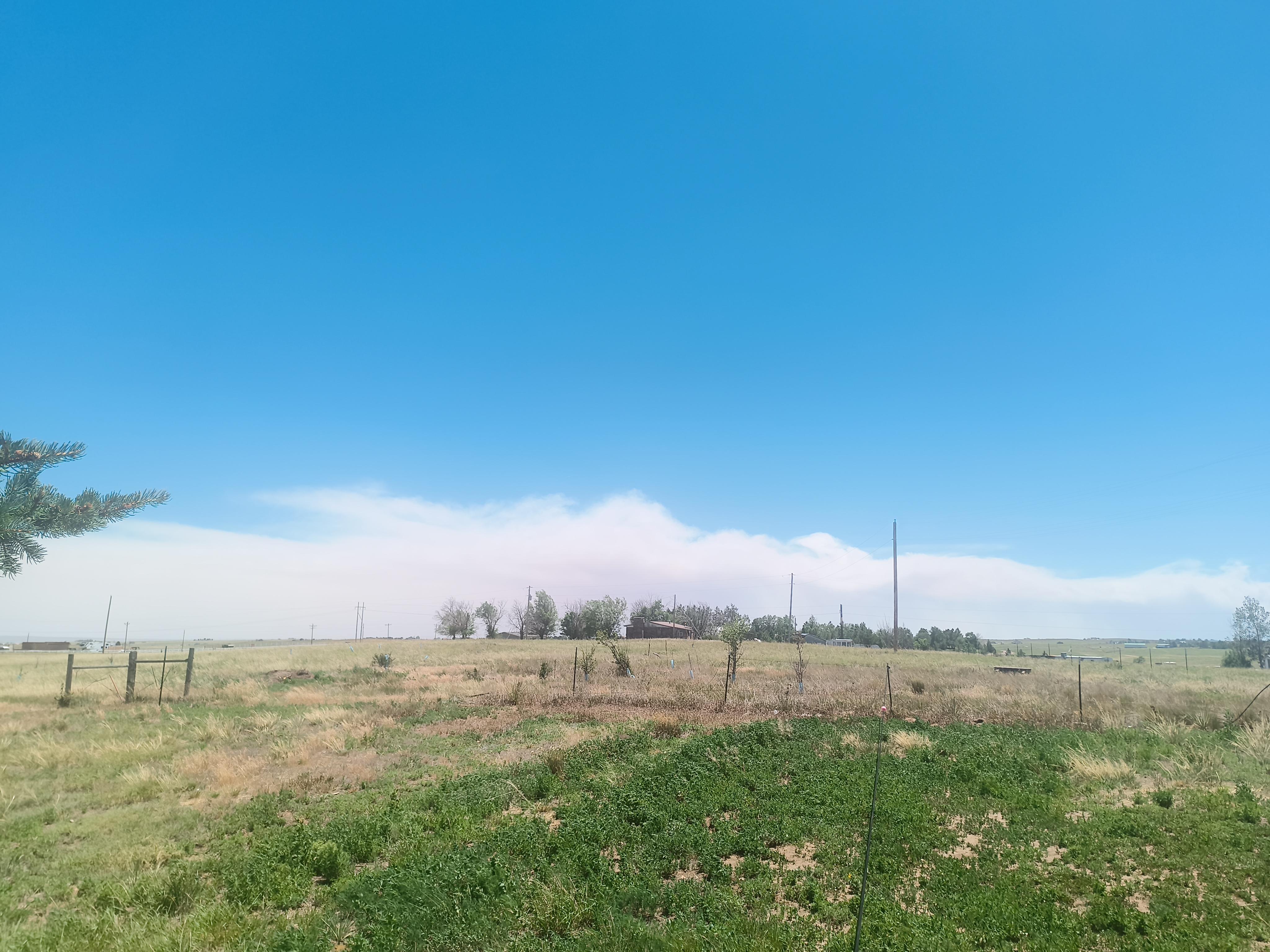
Just starting. From our backyard.
But which way is the wind blowing???
Cheers

For Canada and US from UBC, shows current fires and current and forecasted smoke.
I’m getting smoke from two directions. Putting off some trips, but I’m far from it and have little to complain about. Only concern for those in its way. A reminder to get my mowing done.

Looking at David D’s link, it’s amazing how many fires and how much smoke there is in Canada.
It looks like half the area of the country is smoky.
The Jasper fire threw enough smoke to make it a serious health advisory to spend much time outdoors all the way over here near the Ontario/Quebec border, and it lasted days with the sun largely obscured
It seems like it does that every summer now, huge fires in Canada.
In Portland we had one year, 2020, that the smoke was really terrible. Here it is coming in my direction, soon overtaken by it.
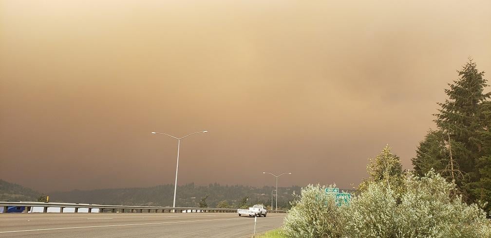
In Portland we had one year, 2020,
Looks like you got hit hard. Lots of fires in California that year. The smoke went into Canada, then back down into Colorado. The whole southwest got hit pretty good. There was just a small pocket around San Diego where it was clear.
For smoke I use Fire.airnow.gov and click to display smoke layers. It shows where individual large plumes are and how they overlap. Thank you Jerry for Ventusky. I hadn’t seen that before, and it gives a good graphical image (though with a lousy underlying map).
Windy.com also shows pm 2.5 layer but I’ve lately seen some lack of correlation with the big fires. . . .
We here in the Las Vegas valley often get smoke from Cali. It can be fairly thick sometimes with horrible air quality ratings. Even indoors you can smell it and that’s from a few hundred miles away.
Viewing 15 posts - 1 through 15 (of 15 total)
Become a member to post in the forums.
advertisementYour privacy is protected: We do not transmit your user data to third-party ad platforms or advertisers, and we do not host third-party tracking pixels. Backpacking Light serves ads on its own custom, native, and internal platform.
 Brynje Mesh BaselayersBrynje baselayers use open mesh construction to move moisture away from the skin, create insulating air pockets, and help regulate body temperature across changing conditions and activity levels.
