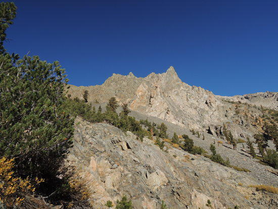
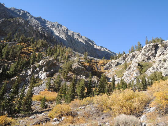
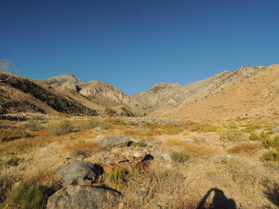
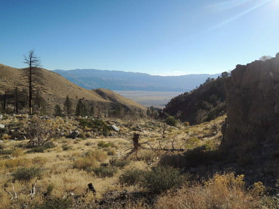
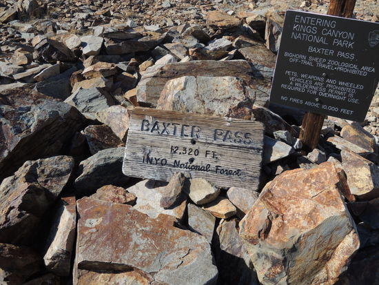
BAXTER PASS 10/6-7
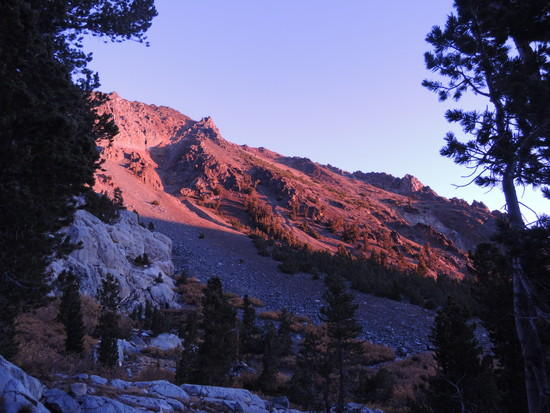
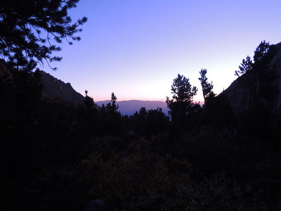
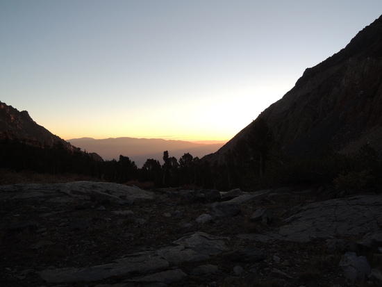
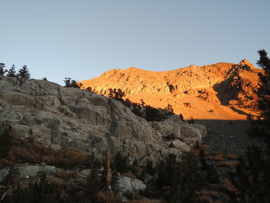
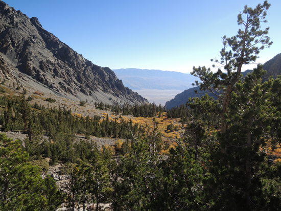
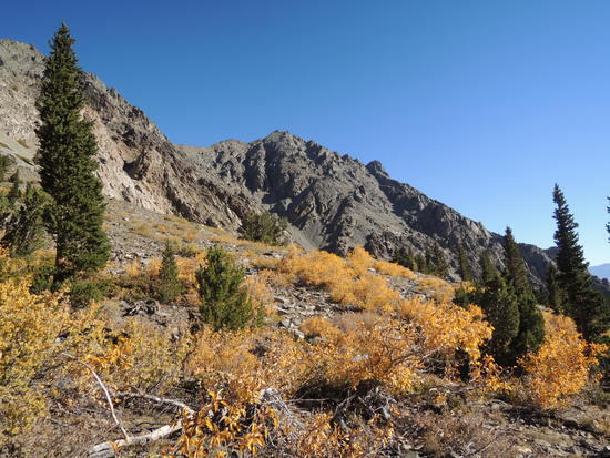
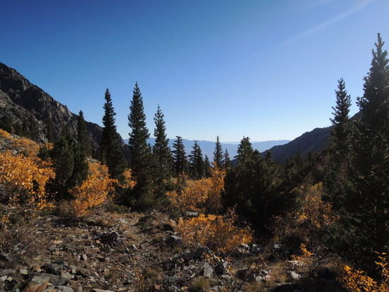
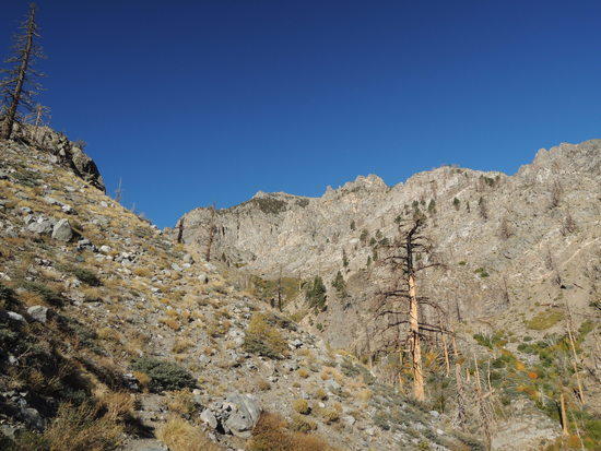
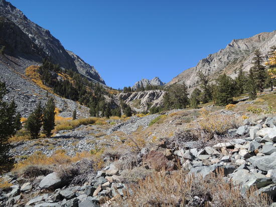
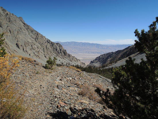
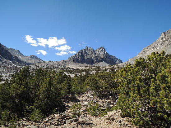
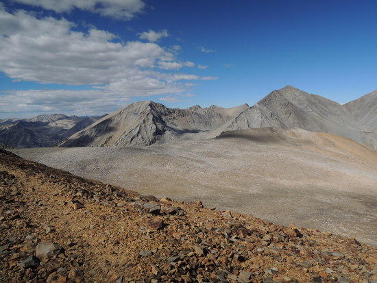
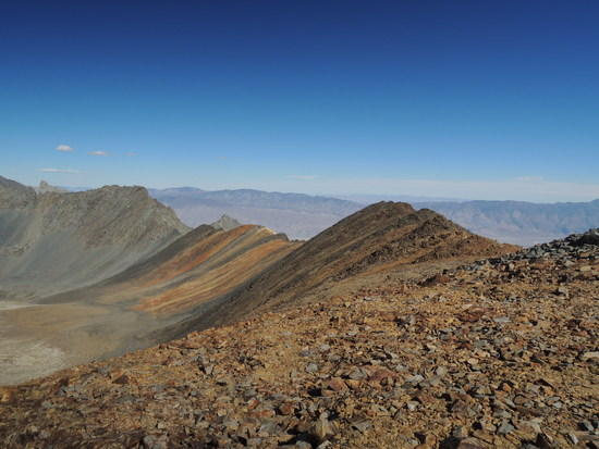
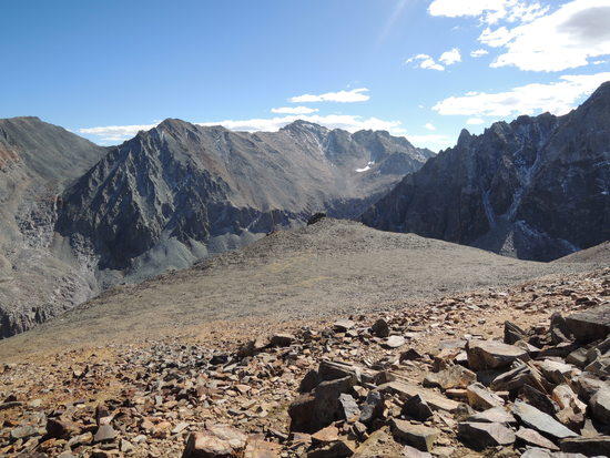
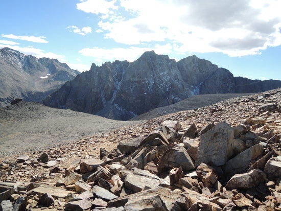
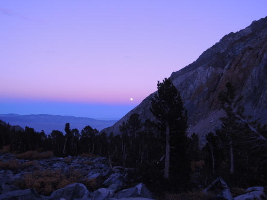
I thought I was done for the year after 3 great trips, having tested my wife's forbearance greatly in the process, but bluebird skies and Indian Summer weather stoked a primal longing deep within to be on the move in high places. My beloved sensed my inner turmoil and said to me one night over dinner, "Go, do what you need to do". And so I found myself moving briskly up the Baxter Pass trail on a warm, sunny October morning, filled with anticipation of the challenging hike ahead. Baxter Pass, an unmaintained trail that gains 6300' in 8 miles, is arguably the toughest trail approach on the East Side. It had long been on my short list of hikes, but always seemed to get put off because it didn't lead to any destination on the other side that interested me. So, I finally decided to make it a destination in itself as a 3 day out and back hike, to cap off an already very rewarding season. The plan was to hike up to Summit Meadow at 10,800', acclimatize overnight, day hike up to the pass and possibly down to Baxter Lakes the next day, and exit on day 3. But, as is so often the case in the mountains, things did not go according to plan. I was carrying a new Casio watch with an altimeter which proved to be less reliable than I anticipated. I recalibrated it at the trail head and, since the barometer was reading stable under cloudless skies, figured that should suffice until I reached the pass. My plan was to use it to tell me when I had reached Summit Meadow, where I intended to camp. In the event, by the time I reached the meadow, unbeknownst to me the altimeter was reading low. So, I blew right on thru Summit Meadow and continued on in search of a meadow that was now behind me. I checked my altimeter again when I crested the last rise that could have concealed a meadow and found myself in a desolate cirque well above timberline. With a sinking feeling, I checked the altimeter, feeling somewhat sheepish for not having done so sooner. It read ~11,300'. It was just before 2 PM, and I realized I had a decision to make: Either descend to the first decent campsite in the trees, or keep going and hope I could get up and back down before dark. I was already somewhat tired from 6 hours on a fairly rough trail and concerned about descending over unstable rock at dusk. But I also knew that if I went down, I would probably not have what it took to come back up again the next day; so, I decided to go for it. When I started moving again, a second wind seemed to kick in, not uncommon for me at altitude, and I cruised on up to the pass in a little over half an hour. To my surprise, when I checked the altimeter at the pass, a known altitude reference point, I belatedly discovered that it was reading over 300 feet low. Everything made sense then, and I relaxed a bit. The relatively rapid ascent of what turned out to be only 700' to the pass had left me in good shape, time wise, so I hung around a few more minutes enjoying the expansive views. The first ~1,000' of the descent required a lot of concentration and a slow pace, due to very loose rock on the trail. It wasn't exposed or life threatening, but a slip could have easily resulted in a disabling injury, and I was tired and alone. With a recalibrated altimeter Summit Meadow, not really much of a meadow at all, was easy to locate, and I was greatly relieved when I found a decent place to bivy just as the sun was disappearing behind the ridge line, above. It had been a long day and I was beyond ready to get some food in my belly and climb into my bag. When I awoke the next morning, it was a new day and I was a new man. I lingered over a cup of coffee, enjoying a beautiful sunrise, then packed up and headed down a trail that proved much easier to follow descending than ascending due to a better overview of the frequent areas where it was overgrown with brush. Still, it took almost as long to get down as it had to come up; the Baxter Pass trail is one that shouldn't be rushed, nor is there any need to. Like its peers, Shepherd, Taboose, and Sawmill Passes, it runs thru magnificent terrain which is well worth pausing to enjoy from time to time. I could not have asked for a better end to one of my best seasons in many years.
DAY 1
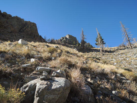
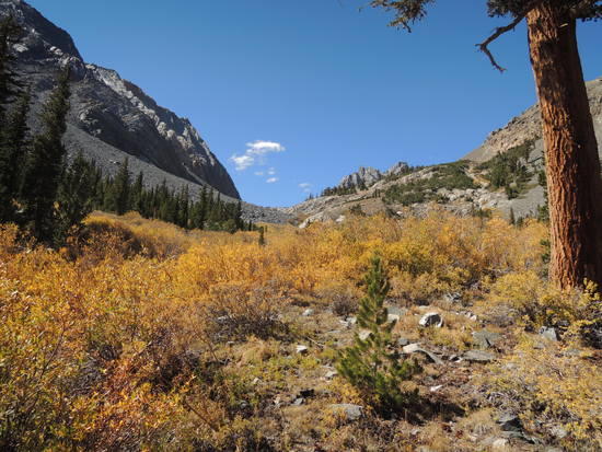
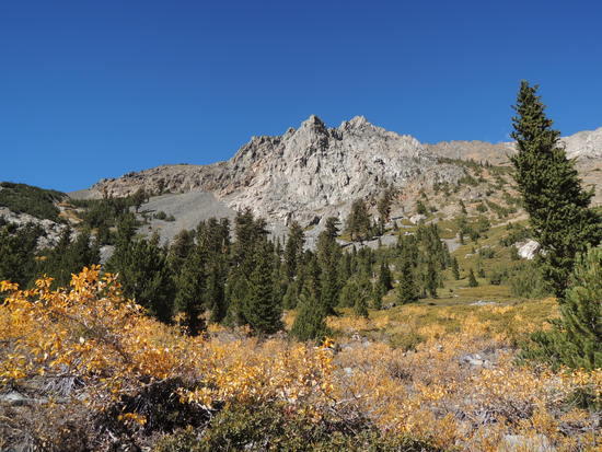
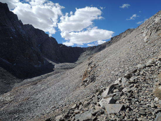
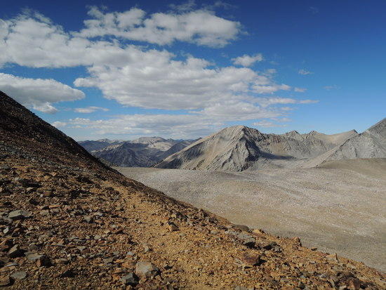
DAY 2