Respect for Joshua Tree (Dec 29-31, 2010)
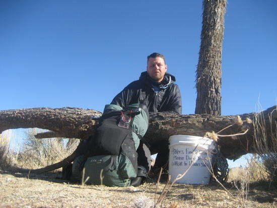
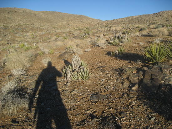
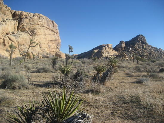
Wednesday morning, A couple miles in from Joshua Tree’s West Entrance, I pull over, grab my bucket, rope and water bottle from the truck, and put my first footprint on Joshua Tree sand. Water Cache. This will be the perfect opportunity to test my compass skills. So instead of picking a conspicuous boulder pile, I walk away from any obvious features and into the sea of Joshua Trees. Lash the rope to the bucket’s handle, go twice around the base of a tree, pull hard, and make it fast to the bucket’s other handle with three half hitches. Drag a fallen Joshua over and lift the heavy side onto the bucket. Done. (Thanks to Thom for tips on caching my water)
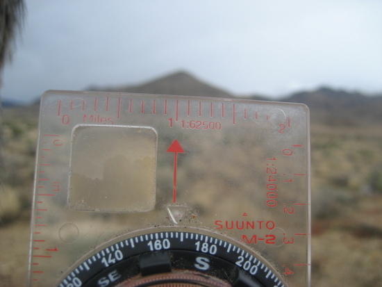
Now to make sure I can find my water tomorrow. I pull out my trusty compass, point the arrow at the big pyramid-shaped peak to the south and spin the compass dial until the “Red is in the Shed”. 168 degrees. I found two more obvious peaks and took compass bearings on them as well, triangulation. Then, I double-checked everything by starting over and repeating the whole process. At this point I should have been done and heading to the trailhead, but no. All of my readings were different the second time around. Where did I go wrong? Okay, slow down, start over. Wow, in three attempts I got three different bearings on a single target! Then it hit me…magnetic interference! I removed my wristwatch, got the compass measurements that I needed and with renewed excitement, ran for the truck. Lost a lot of time, gained a little wisdom.
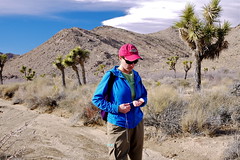
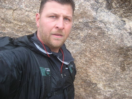
Two hours late, I pull into the backcountry parking lot near Ryan campground and snap the mandatory kick-off photo. Boots on the ground baby, boots on the ground.

Heading north on the California Riding and Hiking Trail, it’s like 9-something miles to Upper Covington Flats. I should be able to make it up there and explore a bit before coming back down to camp near the base of Quail Mountain. By noon I started noticing the wind seemed very shifty and unstable, but I enjoyed the brisk air, passing showers, and fast-moving cloud highway above.
What I did not know was that later in the evening the National Weather Service would be posting a weather advisory: “URGENT…FREEZE WARNING IN EFFECT…WINDS BETWEEN 30 AND 40 MPH…ESPECIALLY ACROSS JOSHUA TREE NATIONAL PARK…GUSTS BETWEEN 40 AND 58 MPH…15 TO 20 DEGREES IN THE MOUNTAINS…”
Past Stubby Springs, showers came faster, winds pushed harder. No rain gear on this one, so sustained rain will cut my hike short and force an early camp. A couple miles later and it was clear, the rain is in my baselayer now and not slowing, the wind is clearly too much for my tarp in open ground. I Hustled up a rocky point and saw good looking boulder cover down slope to the north, this marks the end of trail hiking for this trip. Running got me there faster and served to keep me warm in the freezing 30 mile wind. Bright sunny patches were quickly chased out of the broad open valley below by cloud shadows that came barreling over the ridge.
Boulder piles looked like great wind blocks, but I found this not to be the case. In rivers, boulders cause acceleration of water except for a small pocket just downstream, but wind doesn’t flow in one direction like a river. I found the sheltered side of a good boulder pile and sat low, only to get sandblasted from another side by a fierce, howling gale.
The Junipers offered some shelter, so I picked a tucked-in spot and began the fun process of fighting the wind while pitching a storm worthy shelter out of flat piece of sil on soft desert soil. During winter I sometimes carry a small notepad to pass the long winter nights, here’s a piece from that night: [12am The wind is unrelenting. Whipping the tarp, beating it like a drum, filling it with pressurized air, pulling hard at the guy loops, then suddenly smashing it down onto me. I look up and I don’t know why the tarp is still there after seven hours of gails.]
This went on all night. Lulls in the wind were occupied with the pitter patter of freezing rain and I started shivering around 4:30. I told myself that by 5 I need to get moving to warm up and to keep from losing more time, but the wind boomed and threatened to rip the tarp through the Junipers if I start pulling stakes. At 7, I couldn’t wait anymore and managed to get the tarp safely into my pack by laying on it as I pulled stakes. I laughed a bit at how stupid I must have looked until the cold bit me in the ass and I made a run for it, without even noticing I missed my morning coffee. 21 degrees.

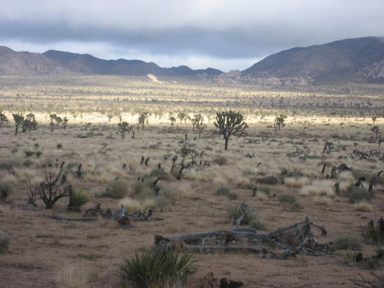
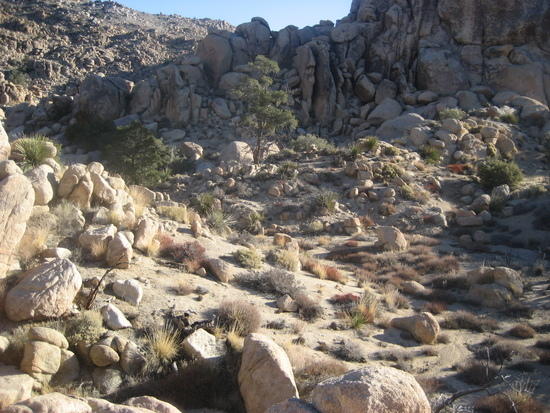
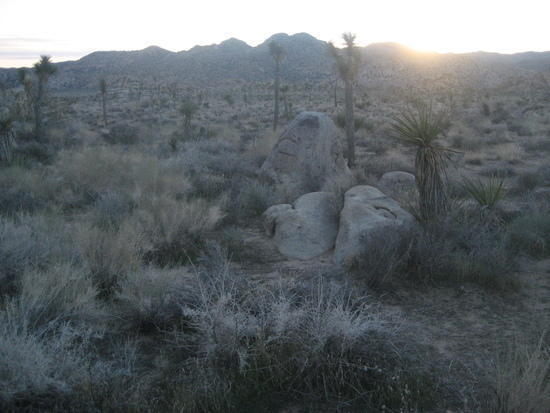
Looking back along the wash, up to the little green knoll where I almost blew away.

Thursday was windy and cold all day, but skies were blue. I used every shred of clothing at some point in the day, my bandana kept my lips and nose from stinging. The rest of my trip would be cross country through paradise.
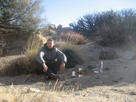
Later that day I arrived back at Quail Springs. Along the way I rambled well up into the rocky gullies and flushed a lot of rabbit and quail, but luckily for them I had plenty of instant potatoes to eat. It was time to see if I could indeed find my water. I set my compass to 168 degrees, pointed the arrow at that same peak to the south and walked west across the valley until the peak was again at 168 degrees. Then I added 180 to 168 for my back bearing, 348 degrees. I swung my compass northward to exactly 348 degrees, now my arrow was pointing directly at my water. Following my compass arrow, I walked until my two other cross-bearings also came into line, and I stopped. 100 feet away I spotted my water. Searching a 100 foot radius is not bad when you’re thirsty and your water is lost in a one-mile haystack!
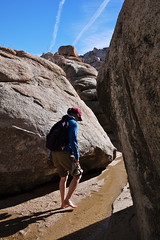
East, cross-country, past the Boy Scout Trail


Clear skies all day, the wind finally calmed in the evening. I knew this meant it would be colder but at least no chance of rain so I wont need my tarp. I picked a sheltered cove tucked into the Wonderland of Rocks area by 6pm, ate a big potato and sausage supper and slid into my bivy. Mid 20’s by 6pm, I hunkered down for a long night.
At 10pm, I woke up shivering harder than ever, and found that the bivy had somehow flopped over onto my face. I curled my toes back and forth to warm them up but they feel stiff and don’t move easily. When I tried doing crunches, a thin sheet of ice flaked off my bivy and gradually slipped onto my face. My arms were locked away inside my bivy with my Ultra20 buttoned and cinched tight around my neck, so I was unable to stop the ice from sliding down my neck and having its way with me. I must have breathed into my bivy for hours because there was ice inside my bivy on all sides, down to about my elbows. To stay warm now would take extraordinary measures, crunches all night or maybe tuck into a slot in the boulders and build a fire. Instead, I calculated the miles back to my truck, maybe 2 miles of bush and 6 miles of road. It took two minutes to get up, force my feet into my stiff frozen shoes, stuff the bivy, polycro, and foam into my pack and rip the food from the pinyon tree. A moment later my headlight was searching the spiny brush ahead for a path west. My gauge read 16 degrees. It sucks I had to bail out, but it was exciting too. I took in the cold mountain air, dazzling stars, and coyote songs. This turned out to be one of my favorite sections of the whole hike. I found the road, turned my headlight off and finished the 8 miles back to my truck by 1am, pretty much elated. The adventure I’d hoped for was delivered in full measure.