Hi I just got back from Rea Lakes tonight.
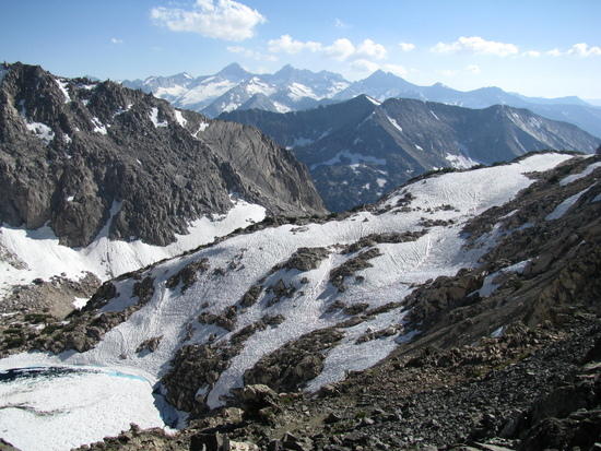
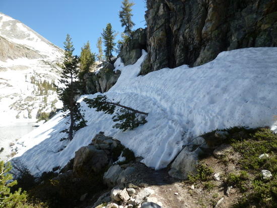
There is snow from 1/4 mile below dollar lake.
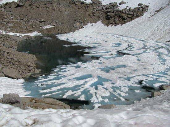
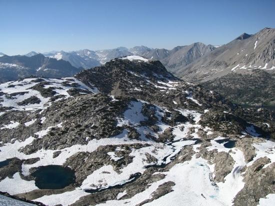
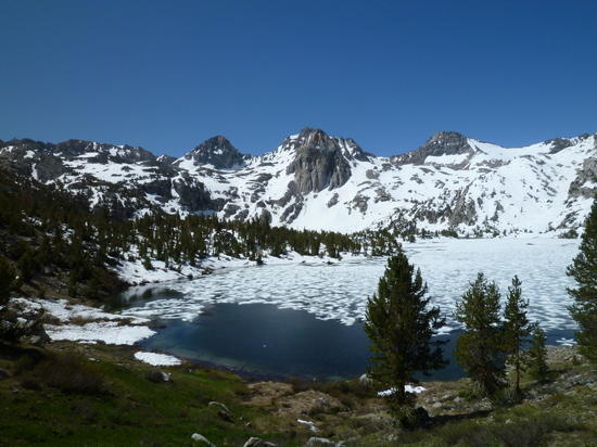
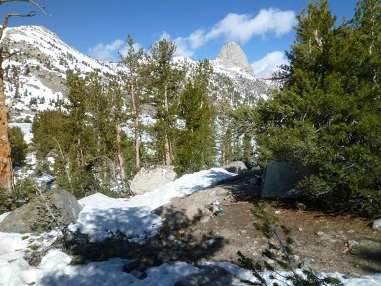
Rea Lakes are 50% frozen. Not a lot of areas to camp clear of snow.
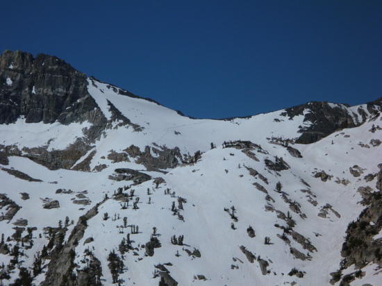
Glen Pass is covered with lots of snow from the top to the base.
PCT and JMT hikers were coming down.
Two Hikers are coming down the Pass.
Bring snow climbing gear and GPS so you can find the trail. It was mostly guess work from dollar lake up.
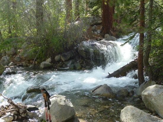
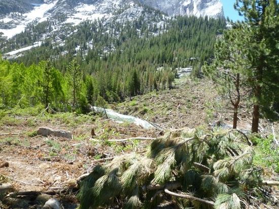
There is a lot of tree blow downs above the Upper Paradise Valley bridge. Snow avalanches knocked down trees over the trail in 2 areas. Between the downed trees and snow it added over an hour to the hike up to Rea Lakes.
I turned around at the base of the pass. I think you would have better luck if you went up Bubbs Creek and down into Rea Lakes.
Camp at Rea Lakes
Glen Pass

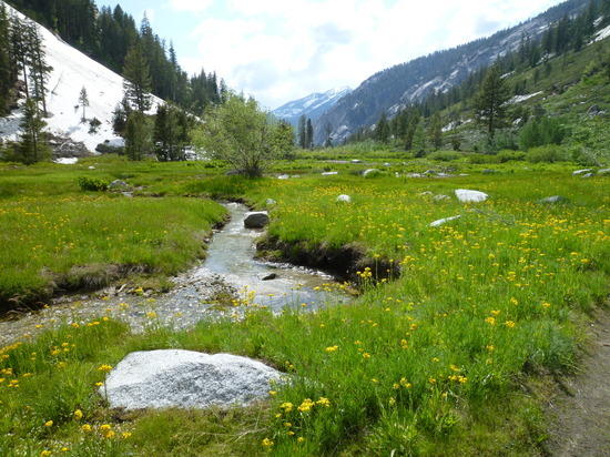
Castle Dome Meadows
Jerry