Free USGS maps at http://libremap.org/data/
Topic
Mapping Software & TOPO!
Become a member to post in the forums.
- This topic is empty.
Bret,
I indicated a whole range of things, and you are right that (effectively) full-scale editing of underlying stuff won't happen. I just wanted to show the whole range of things. I don't want to give up on what they could easily supply, though, just because perfection is unlikely.
One thing that I should think *could* happen, though, is to allow the user at least one include file. They already have the ability to merge TPO files. All my request would require is that they dynamically merge my include file(s) with the tpo file they are going to use anyway.
That will not solve any aesthetic issues. It would, however, solve most of the merge problems. And that is the biggest obstacle to really effective sharing.
The other thing I should think would be easy for them to allow is for the user to add symbols. At least in the first cut, they would not even have to provide a symbol editor — just allow the user to supply his own bitmap (or whatever format), using his own tool.
— MV
> Sam, tell that guy to pay for more bandwidth already. Who's he coding for, his shelter mates? jk
The Appalachian Mountain Club :)
One last followup, as my posts are becoming a little less relevant.
This forum thread compares NG Topo maps to AccuWeather maps:
Looks like Accuweather maps are vector based after all. So it is in the same vein as Garmin's 24K Topo series, not the NG Topo series.
Become a member to post in the forums.
advertisementYour privacy is protected: We do not transmit your user data to third-party ad platforms or advertisers, and we do not host third-party tracking pixels. Backpacking Light serves ads on its own custom, native, and internal platform.
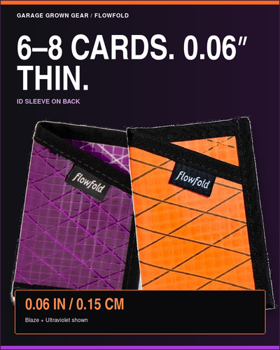 Minimalist Card HolderSlim card holder made from recycled sailcloth. Weighs just 0.5 oz.