This was a great long weekend in an underutilized central Colorado wilderness area, where we circumnavigated one of the most famous geological formations in the state, “The Cs”, approaching via a southern valley, climbing to a prominent pass, hiking across a high ridgeline over the area’s eponymous peak, and its broad shoulders, and returning via a trail-less basin.
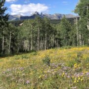
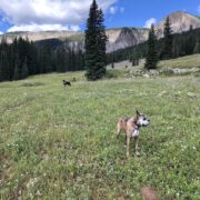
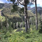
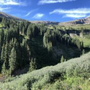
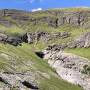
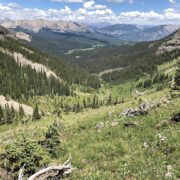
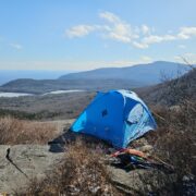
Climbing slightly from the trailhead at about 9000′, the Cs were visible through Aspen forest and wildflowers [1] and the trail gradually rose through pines and spruce [2]. Making our way past some high elevation cattle around south of the Cs, we climbed a valley, passing up a chance to camp at a scenic lake [3] and eventually found a mediocre campsite with a spectacular view [4]. You may notice that I could not find a very level spot for the tent, so unfortunately the dogs were rolling on top of me all night.
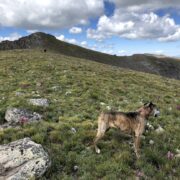
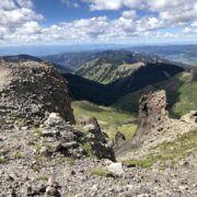
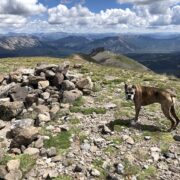
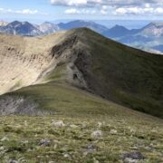
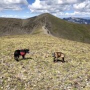
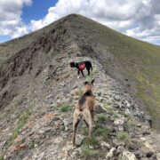
The next morning we continued up the valley [5] and started the climb to the pass, passing from evergreens into flower-strewn tundra at about 11,000′ [6]. Looking back as we climbed, a different view of the Cs was visible [7]. Reaching the pass at about 12,500′, and after a short break for a snack, we started toward the first high point [8] through uncommon fuchsia Indian Paintbrush. Reaching that high point at about 12,900′ we saw yet another view of the Cs [9] as well as panoramic views in other directions [10]. We then continued across a high tundra ridgeline to the peak at 13,100′ [11]. From the peak, the Cs are seen down the ridge [12], and the final section of the ridge is visible to the third high point [13]. At first it was lovely tundra and flowers [14], but soon narrowed to a nervewracking knife edge [15] that tested my trust in my dogs’ footing, especially my old-timer. It’s hard to capture in photos, and to be honest, I wasn’t taking photos when we were at the crux. I’ve learned it’s best to just let them do their thing, but I’d be lying if I said I wasn’t holding my breath a few times.
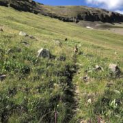
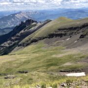
Once across the ridge to the final high point, we looked back at the Cs and down on the basin that we would be descending [16]. Views in other directions were also spectacular from there [17]. At that point, I tried to find the trail marked on the Gaia Topo (but not on a USGS quad), but I wasn’t able to find any cairns or track. Not a big deal really, since it was straightforward to pick our way down through the tundra and rocks. At various point, I used GPS to navigate to the marked trail, and never found anything beyond a faint game trail that soon died out. At one point, the “trail” was clearly tracking a steep boulder-filled ravine that was prominent in satellite photos, but nothing you would attempt to walk down. Ultimately, I gave up on finding the trail in that section, and just enjoyed the 1500′ descent. We saw hundreds of elk, a waterfall [18] and the valley below [19]. Looking back up, the large steep basin was lovely and green [20]. Again, while the setting was scenic and clean water plentiful, a square meter of level ground was not to be found.
The next morning, facing several miles through a steep forested area, I made another effort to find the Gaia Topo trail, which was supposedly running along the main creek near our campsite. I found something plausibly resembling a trail, but after a while, it was clearly diverging from the trail marked on the Gaia map. So I backtracked, and yet attempted again to find the trail near a water crossing. Again, I found something plausible, but it soon degenerated into a faint track that led me into dense forest, totally surrounded by deadfall and boulders. At that point, I had convinced myself beyond any doubt that the Gaia trail did not exist, and turned to plan B. Making the best of the situation, we followed a seasonal drainage to the main creek, and the main creek to the valley, where I found a cattle trail. That was an easy sentence to type, but two taxing hours for gray-face Zelda and me. Max was fine, he lives to explore. It would have been a lot easier if I had known that no trail existed, since I would have just made my own off-trail route from the beginning. Frankly, I was just lucky that I didn’t choose to do the route in the opposite direction, since I probably would have given up because the forecast afternoon thunderstorms limited my time on the ridgeline to early in the day.
In the valley, back on a trail, we ran into the rancher who runs his high elevation cattle in that part of the wilderness, and has roamed the area on horseback for 50+ years. I told him my route, and he confirmed that there has never been a trail in that basin, except for the one I found in the lower part, which was his trail. Very friendly guy, he told me about another adjacent basin with a large herd of wild sheep, which would also be a good future trip.











Home › Forums › Flowers and Castles in central Colorado … or How I learned to distrust Gaia