Country United States
State Colorado
Area Wilderness in NW Colorado (details by PM)
Trip Month (06) – June
Report / Notes
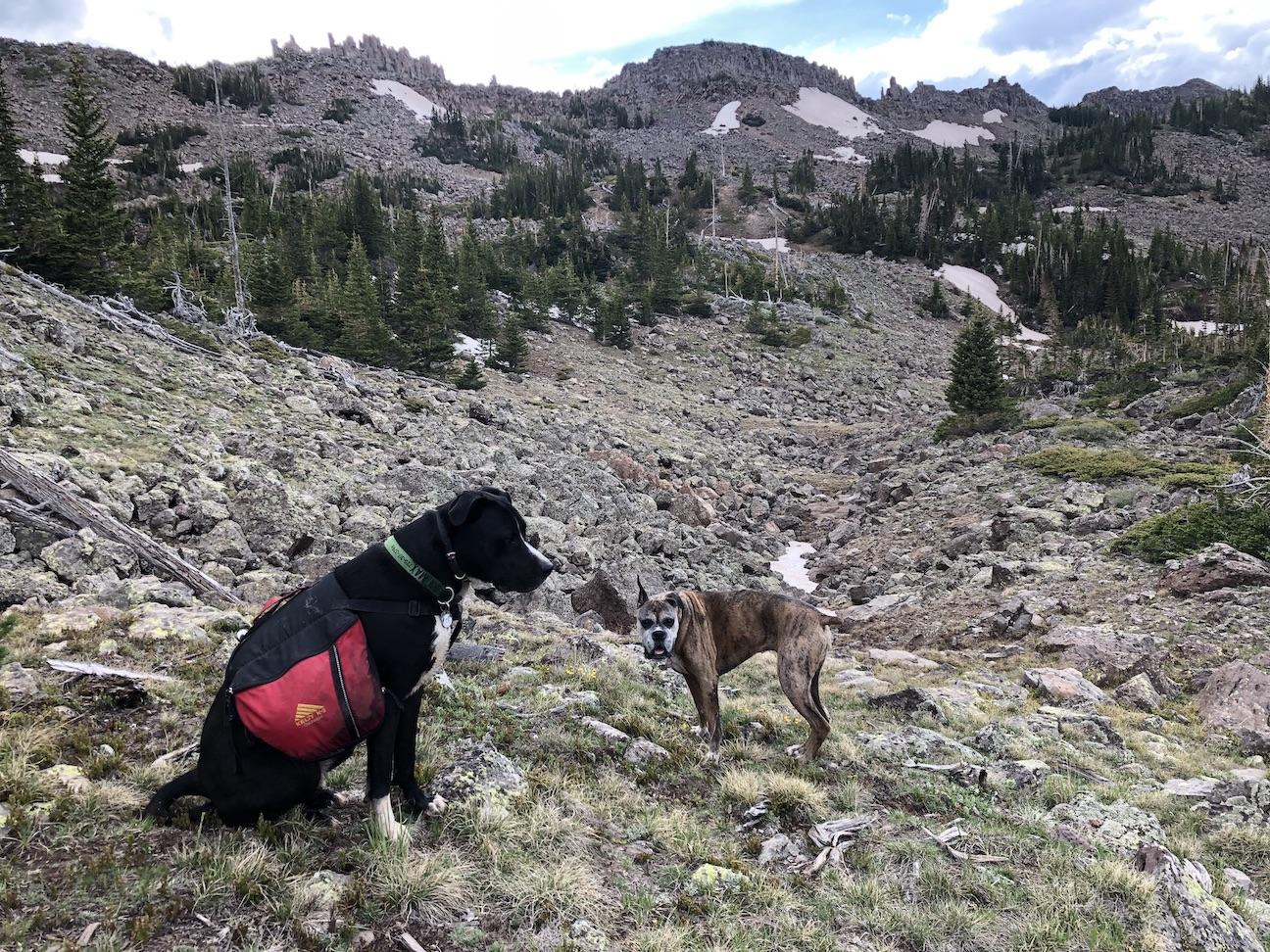
Last weekend I took Zelda and Max on one of my favorite two-nighters. This loop connects two dead-end trails via an off-trail section. It’s only a little over 20 miles with several ups and downs between 9,600′ and 11,700′. I parked on the road between the two trailheads to break up the unpleasant (2-3 mile) road-walking section. We saw plenty of elk and marmots, a mother moose with twin babies, but no people.
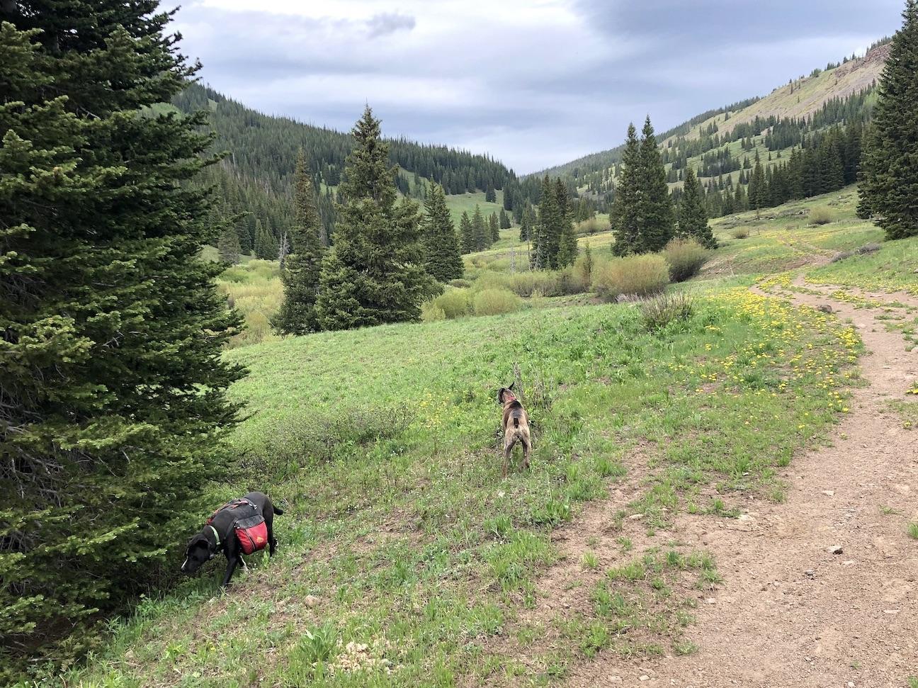
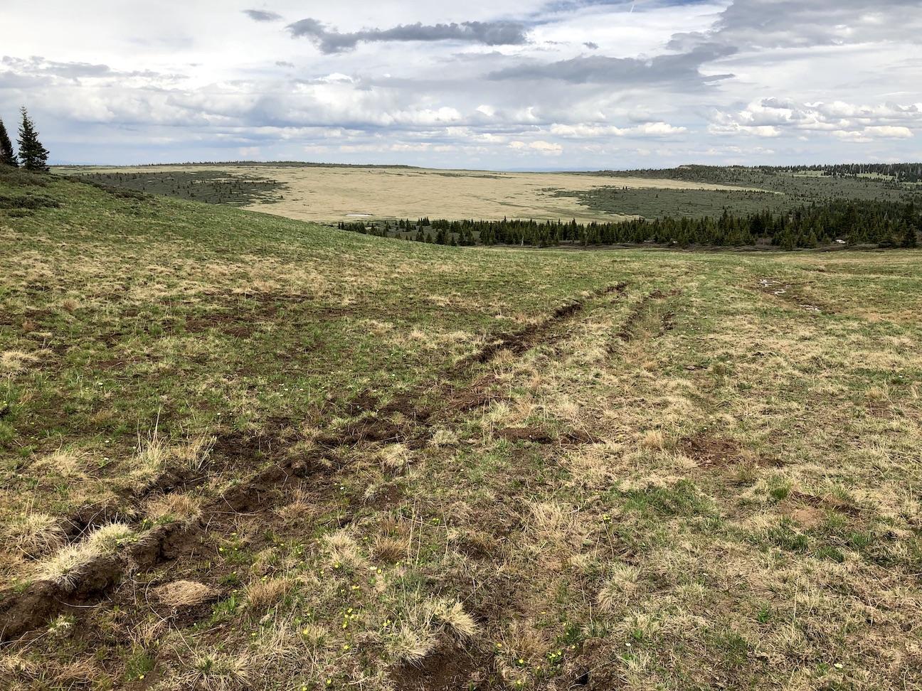
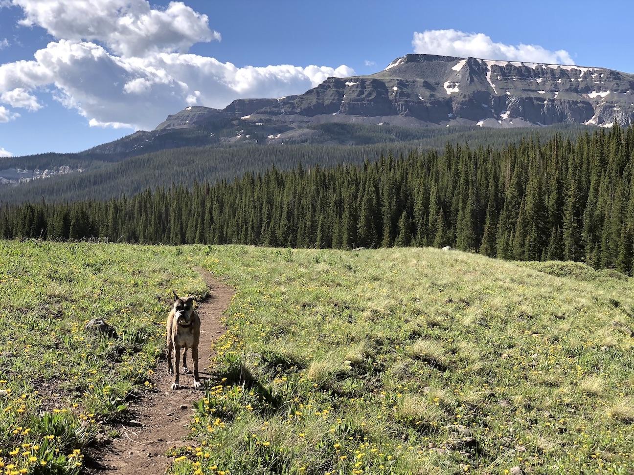
The first trail heads north up a scenic valley (#1). Climbing out of the valley after a few miles, the trail emerges at 11k feet onto one of the massive plateaus for which the wilderness is famous (#2). After wandering across the plateau, the trail dives down into a basin bordered by sheer cliffs on the other side (feature photo) … and abruptly ends.
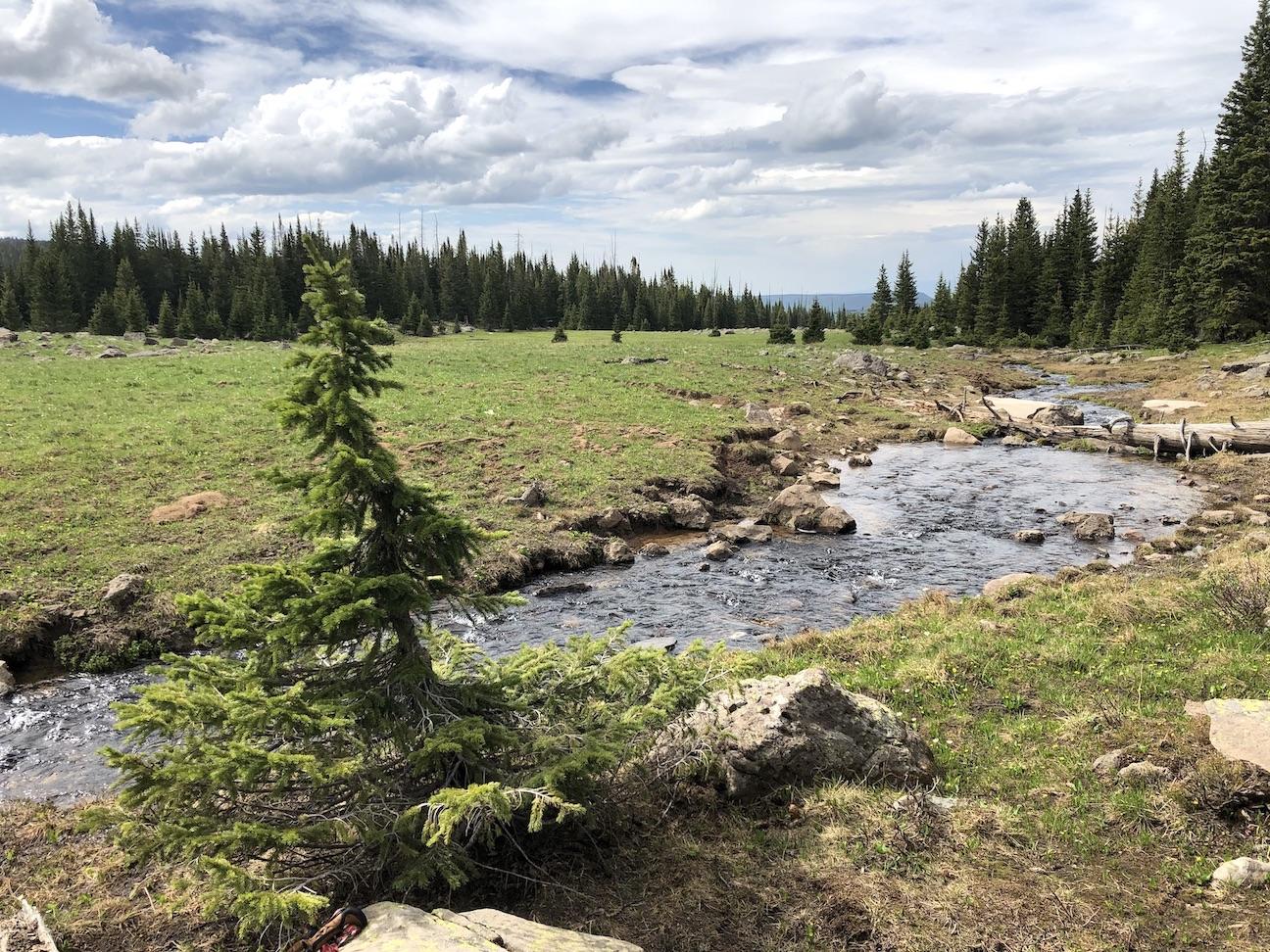
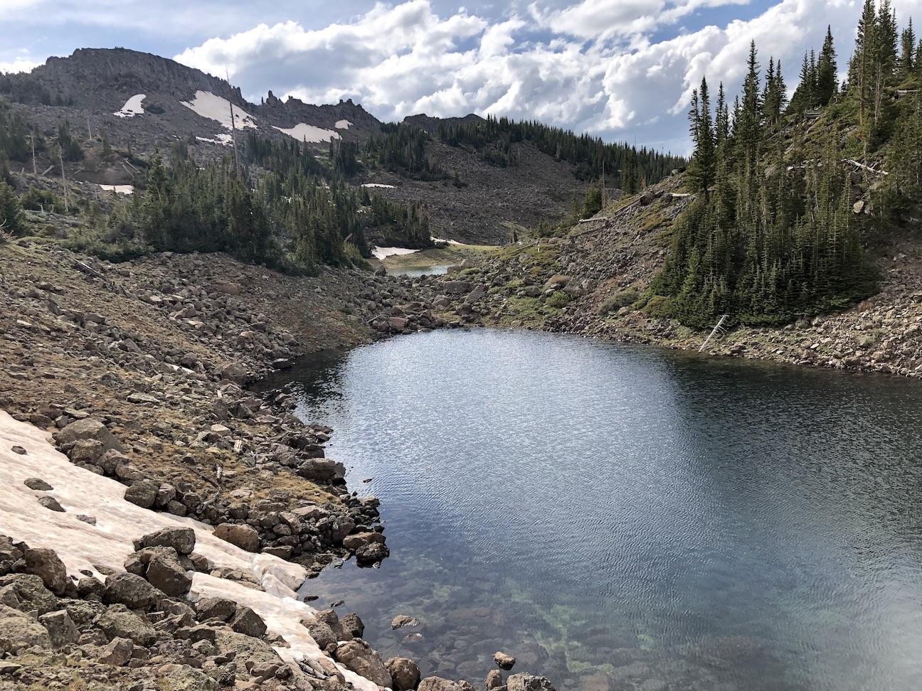
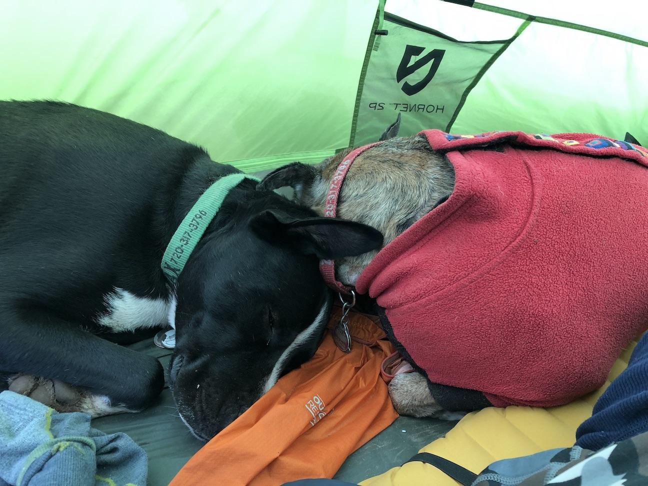
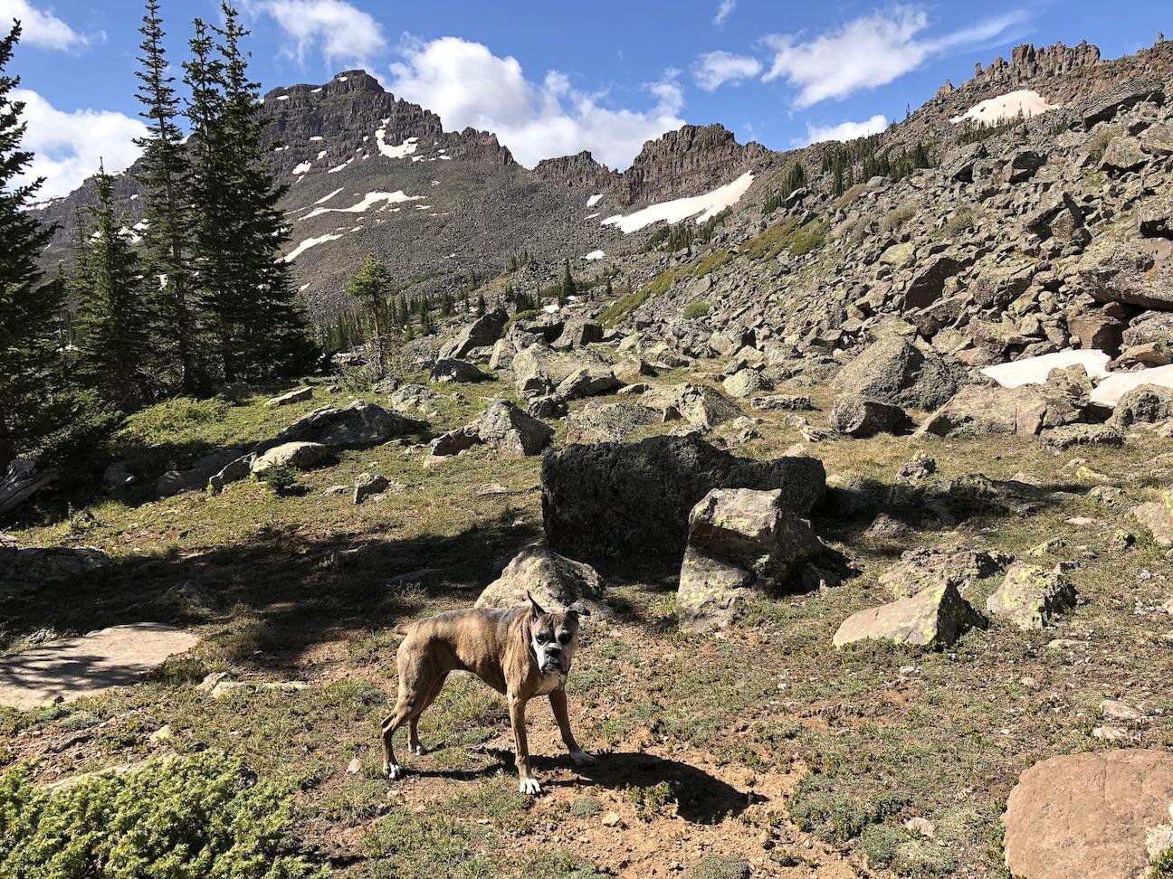
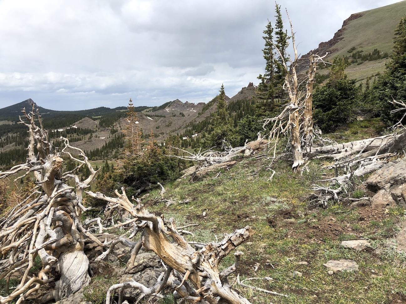
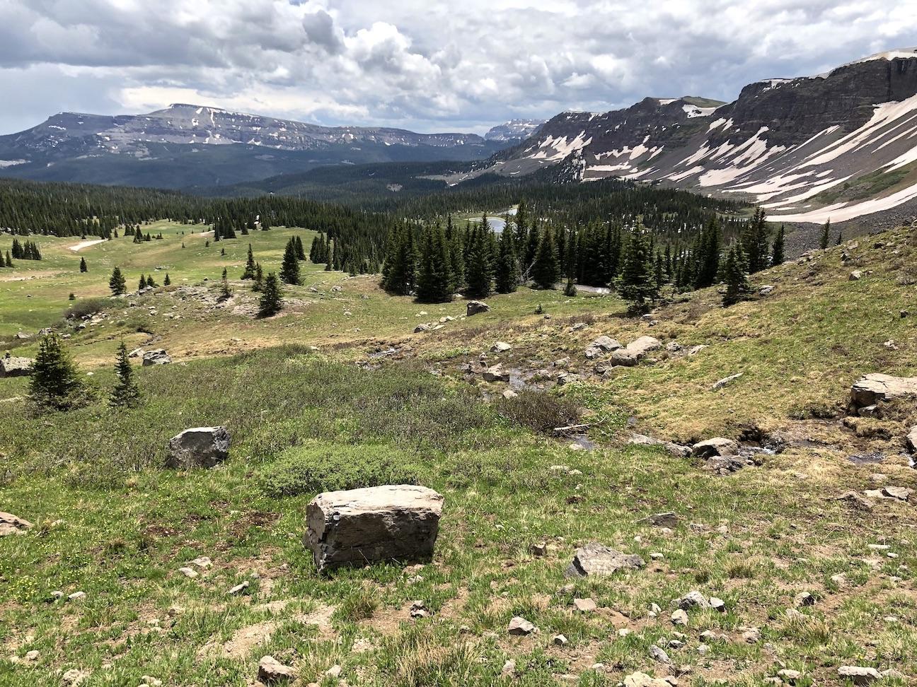
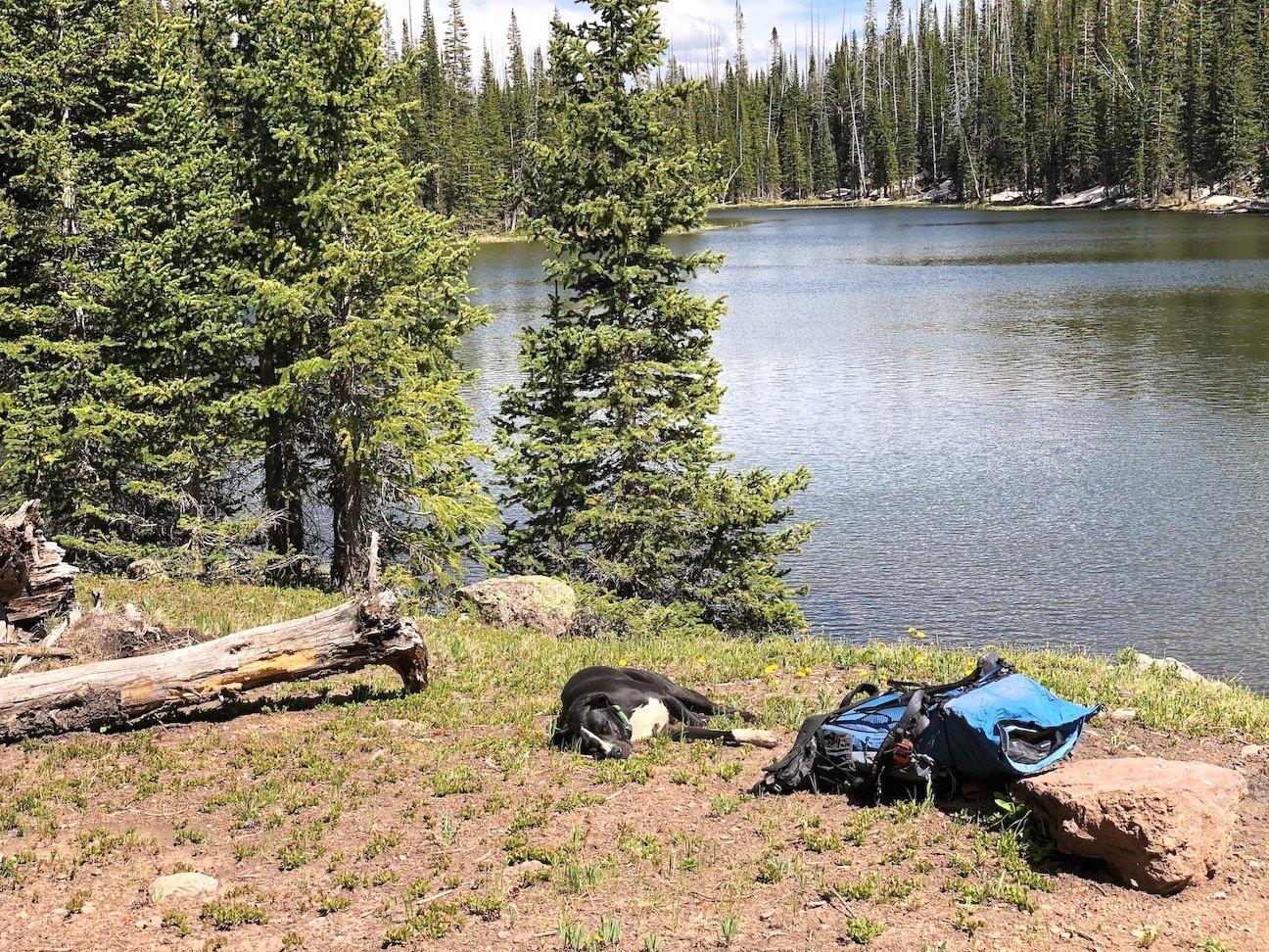
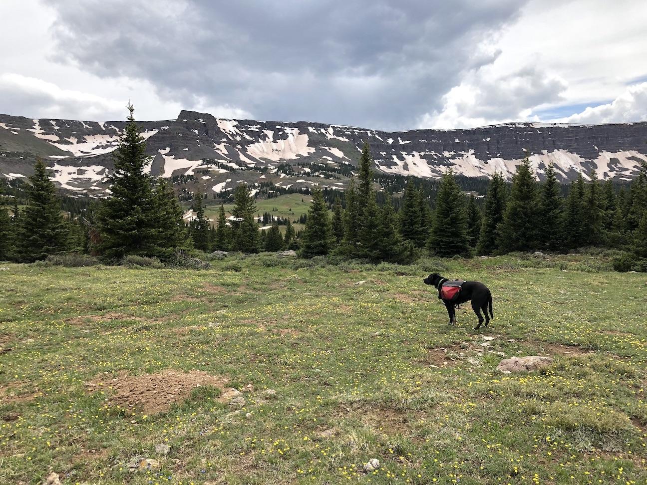
The unnamed trail-less basin is one of my favorite places, with creeks, lakes, meadows, and craggy scenery everywhere you look (#3, #4, #5). On a quad it looks flat, but there is actually a lot of undulation, which makes route-finding unexpectedly tricky. I have been here a number of times and have learned my way around, but my first few times here I often took wrong turns, ran into obstacles and had to backtrack. We camped on a grassy knoll between two craggy lakes, and spent a very windy night in the tent (#6).
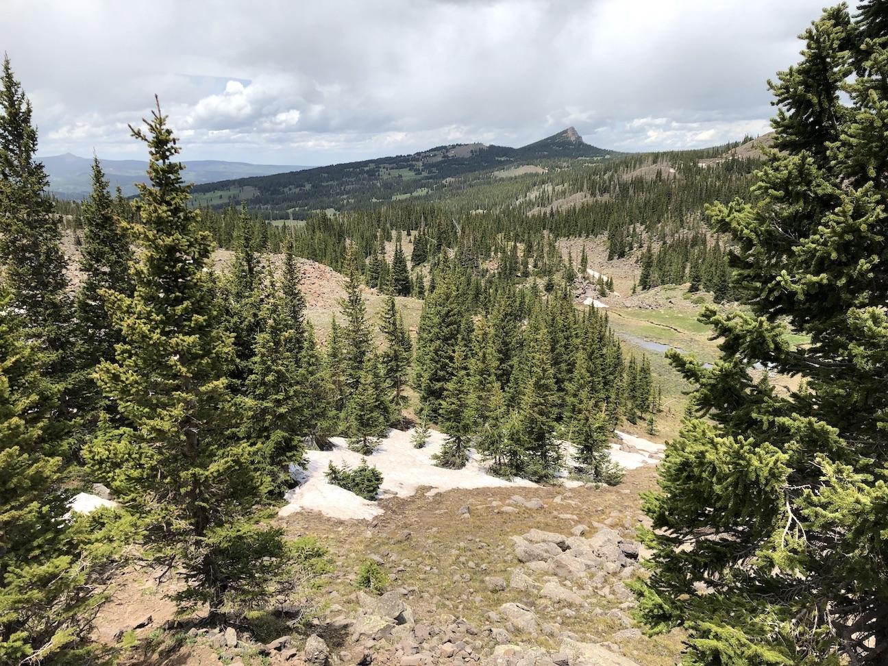
In the morning, we gradually climbed from the lake through forest to make our way around a long sawtooth ridge (#7). Coming through an un-named pass that I manage to find each time, we enjoyed views of the neighboring valley (#8). Descending to the valley floor, we doubled back toward a massive pass and gradually climbed towards it , making our way over mixed terrain for a couple of miles. I can never seem to do this part the same way twice, just lots of cross-country route finding through forest, meadows, and boulder-fields, headed towards the ever-visible pass.
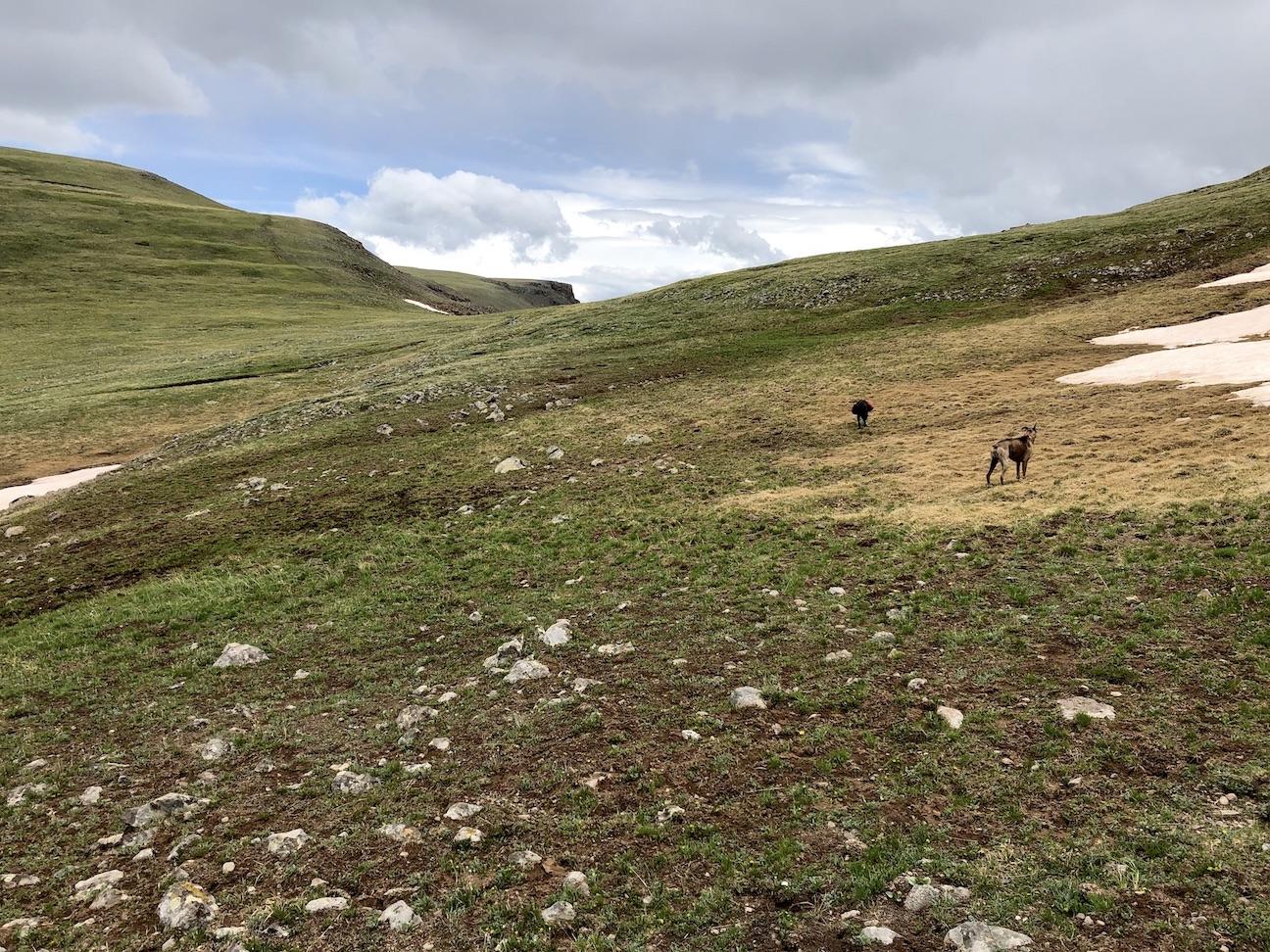
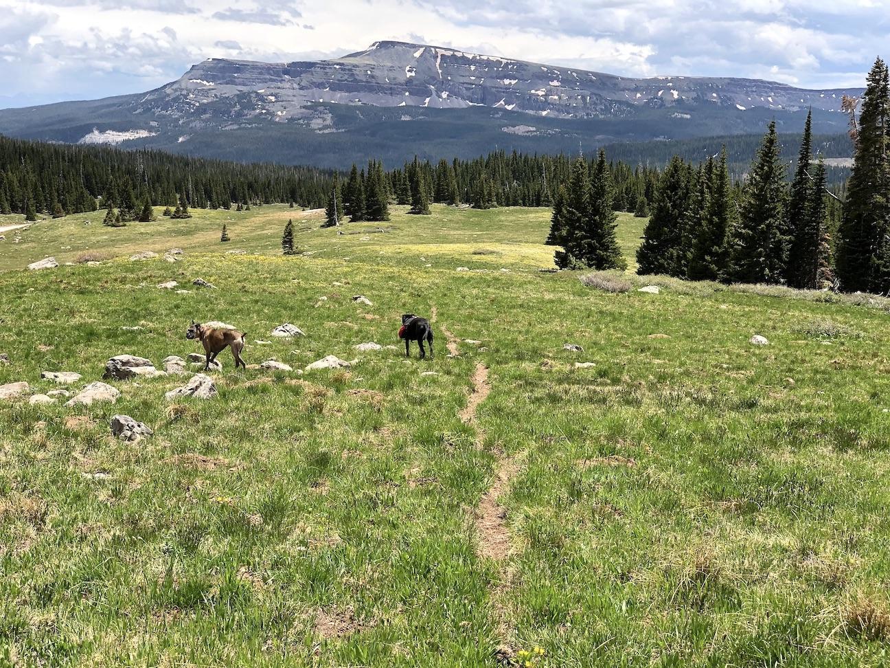
Approaching the pass, the route becomes clear and the views behind us open up as we climb (#9) .The pass itself is an impressive place (#10). From the pass, we can see our next destination, a valley full of lakes bordered by sheer cliffs (#11). Descending to the valley, we are on the trail again (#12). A few miles further, a short detour from the trail accesses a lovely campsite by an off-trail lake (#13).
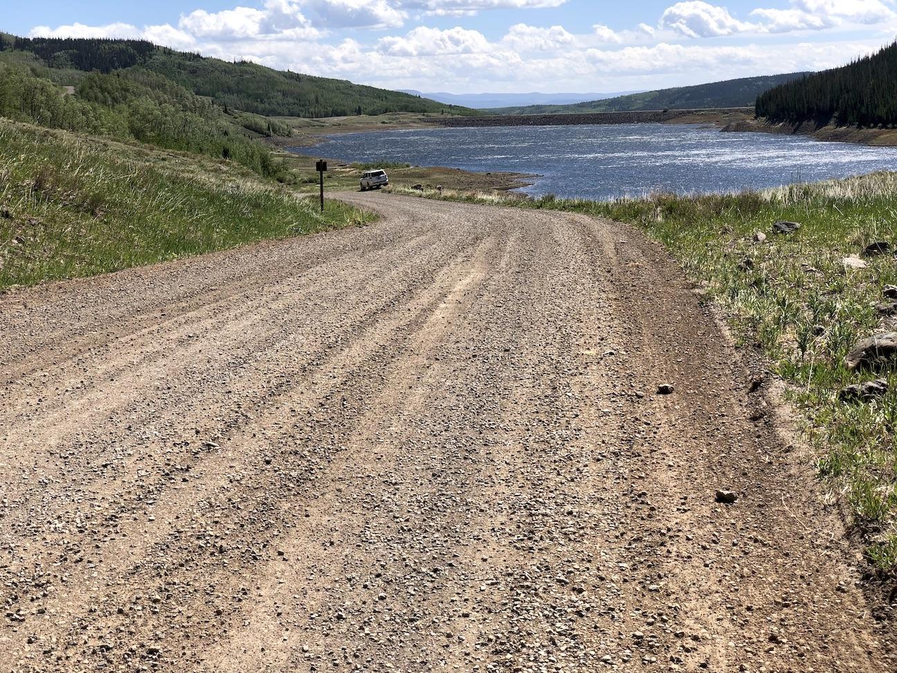
In the morning, we enjoyed a short hike out (#14), and circled back to our vehicle parked on the road near a reservoir (#15).