Topic

trail maps or GPS app for iphone

Viewing 9 posts - 1 through 9 (of 9 total)
PostedJul 13, 2017 at 3:05 pm

What are your favorite apps for trail maps or GPS?  And easiest to learn to use because my husband and I are somewhat technologically challenged.  We have iPhone 7.  We mostly hike in Washington state and California, Alaska and other western states.

Thank you, Debbie and Dave

Nick Gatel BPL Member
PostedJul 13, 2017 at 3:17 pm

Are you expert with paper maps and compass? If not, best to learn that skill first and take them along with the iPhone.

Seems CalTopo and Gaia are popular apps here on BPL. I haven’t used either so I can’t comment on them.

Ben C BPL Member
PostedJul 13, 2017 at 3:22 pm

Gaia is very good.  There are others.  There are a lot of threads if you search.  Gaia seems like the most popular though.  It’s pretty idiot-proof.

Brad Rogers BPL Member
PostedJul 13, 2017 at 4:32 pm

If you are asking if you take paper trail maps or a gps app for an iPhone, then paper maps for sure.  A GPS app is an excellent supplement to paper maps, but I wouldn’t rely on one completely.

David Thomas BPL Member
PostedJul 14, 2017 at 11:29 pm

Slightly off topic, but for urban travel and driving (and we drive to most of our hikes), maps.me has worked very well for me in the US, Costa Rica, Cuba, Iceland, NZ and Europe because you load the map on your device in advance. You need no connectivity, no wifi, no cell signal, no data plan while traveling. Your phone’s GPS shows you where you are on the map. It can search for place names, business (e.g. “hardware store”), and plot routes to them. I find it VERY helpful to confirm I’m still on the right route, or, within 100-200 meters that I made a wrong turn, especially in 2nd-world countries with poor signage.

Mine of the $5 I’ve spent, once, 7 years ago. Still works on all my phones since, loading maps before a trip and erasing them afterwards.

PostedJul 15, 2017 at 8:34 am

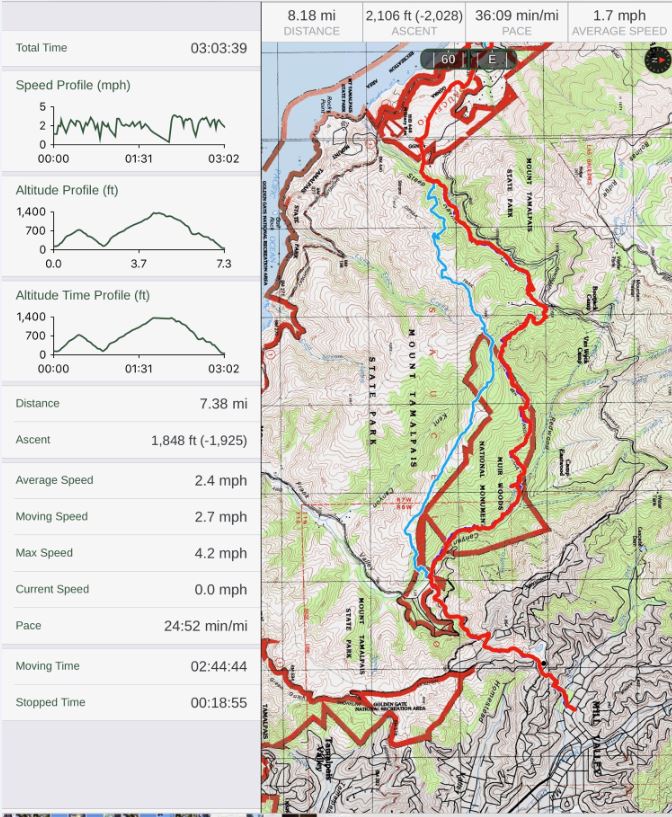
I highly recommend Gaia.  Very easy to use. One of the great reasons for using a phone gps app is it uploads your route for easy access in the future and it provides a lot of data such as total elevation change, distance covered, moving time, stopping time, instaneous speed, graphs, etc.  Plus you can take a photo and it’ll show up on your online track exately where you took it.

Viewing 9 posts - 1 through 9 (of 9 total)
Loading...