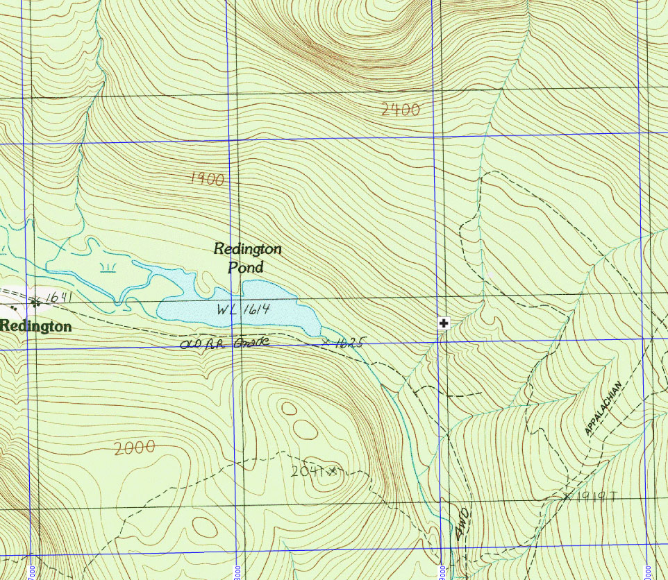
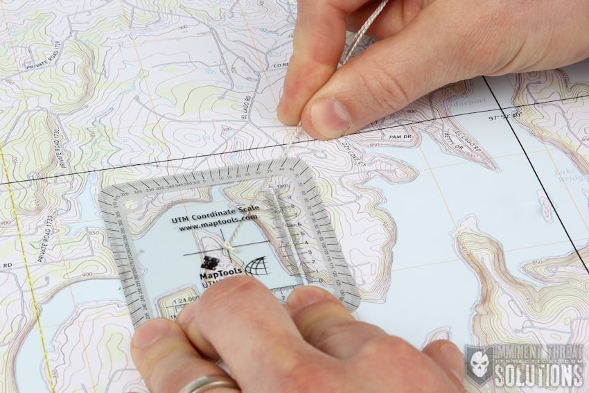
I’m trying to put together a short presentation on land navigation for an outdoor club. (There’s already plenty of very good resources out there so I tell myself I’m trying to integrate useful bits from all of them.) My main goals would be to cover:
- How to read and understand a topo map.
- How to use a grid system.
- How to use a compass.
The slide deck I put together is located here: https://docs.google.com/presentation/d/1Oo8RdRqMIFN5hVurcLEvlNKQ24TB8mIsJgiqUWv9zxM/pub?start=false&loop=false&delayms=3000
However, I wonder if I have too much detail in there for an hour’s time and may have overcomplicated some parts. Particularly after reading the Geraldine Largay thread, I’m wondering how best to re-work the material. One suggestion I got was to simply talk through a number of example scenarios and hide the concepts within them. I’m wondering what other ideas there might be?
-J

