This was my first trip in the Winds.
From Big Sandy Lake, I made a loop south via Temple Pass and Coon Lake Pass to Deep Creek Lakes; traversing Wind River Peak and following Skurka’s High Route back north to the Cirque of the Towers. I then made a shorter loop than planned to the north of the Cirque when rain and fog came in – via Texas & Illinois passes to Washakie Lake and across the Lizard Head plateau, with a few breaks in the weather to give me views to reward the effort.
The terrain is spectacular, with a more rugged feel that the Sierra Nevada. I was unimpressed with the amount of horseshit on every trail – certainly an incentive to get off the trails as much as possible.
The highlight was Wind River Peak, easy Class 2 via the NE ridge. I reached the foot midday, and held off the ascent with building convective cloud; but it dissipated late afternoon, allowing me to ascend and camp by Chimney Rock a little below the summit for a clear and perfectly calm evening, and head to the summit before dawn.
Most of Nancy Pallister’s “off trail” sections were easy and many had established use trails. The only difficult section (not in Pallister) was the descent of the west gully off Wind River Peak, a long stretch of steep loose talus.
Photos follow below in a post that I can edit.
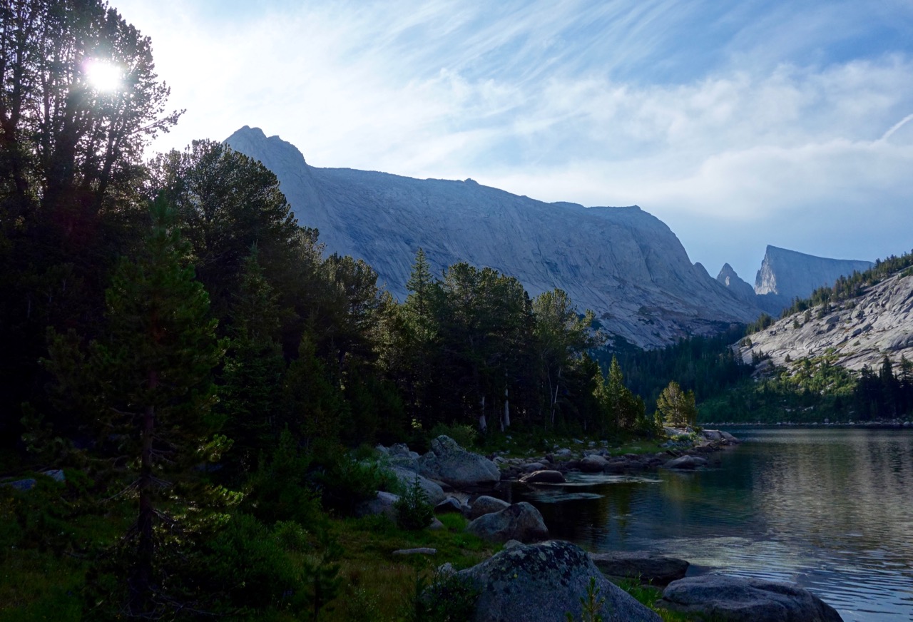 Haystack from Clear Lake
 Bench west of Coon Lake pass
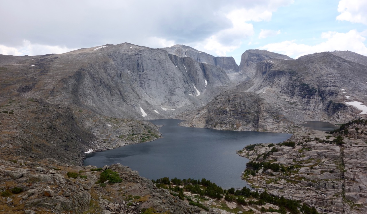 Upper Deep Creek Lake, NE ridge of Wind River Peak, Little El Cap
 Upper Deep Creek Lake outlet
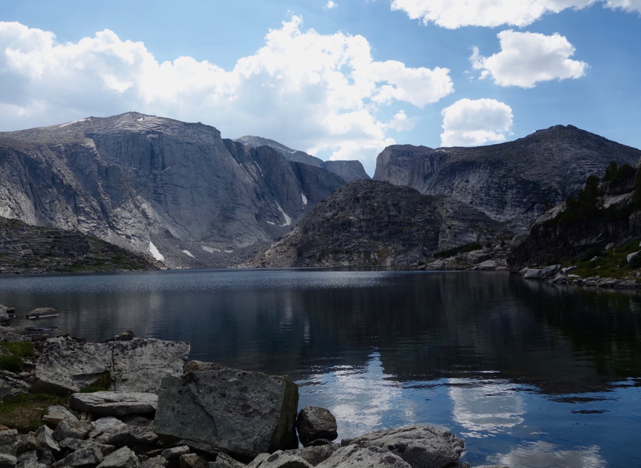 Upper Deep Creek Lake
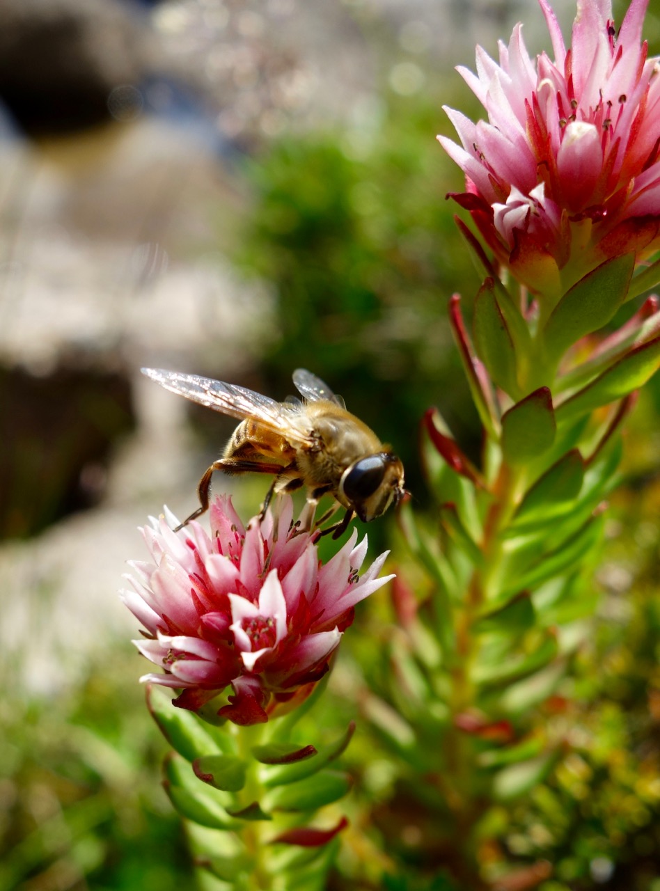
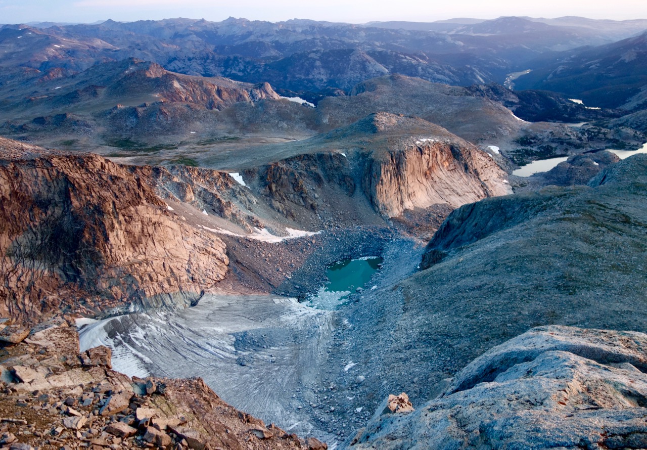 Glacier and N Popo Agie drainage to the NE
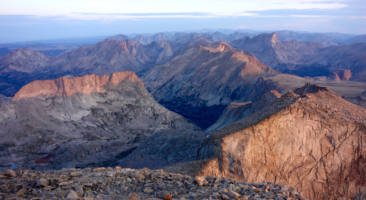 Looking N: Haystack to left, Cirque of the Towers behind; Lizard Head Peak is in the distance at middle right – this view shows why it was so named.
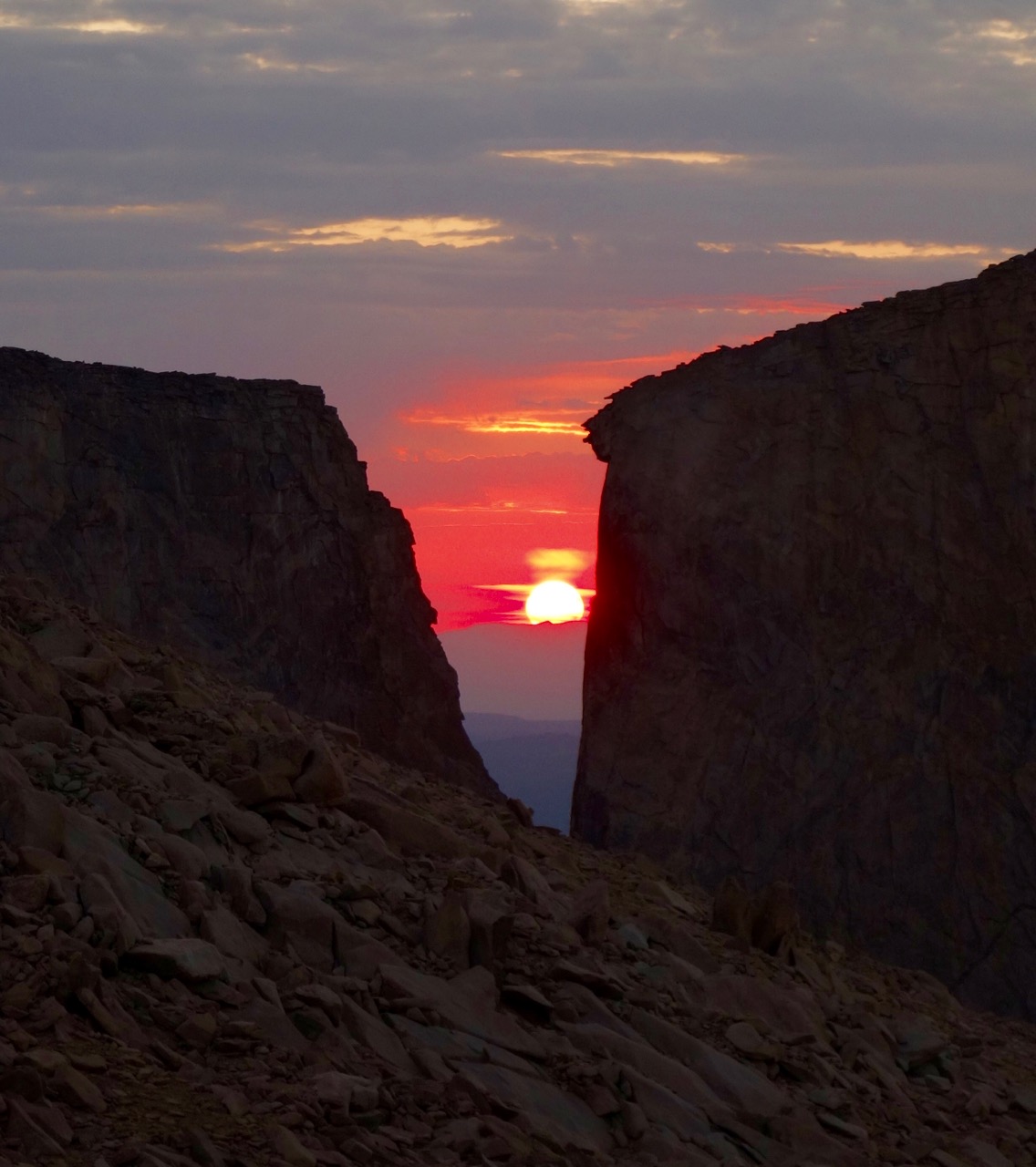
 Looking W to Temple Peak, with an early morning shadow from the V-shaped gap in the sunset pic above showing to the left of Lost Temple Spire.
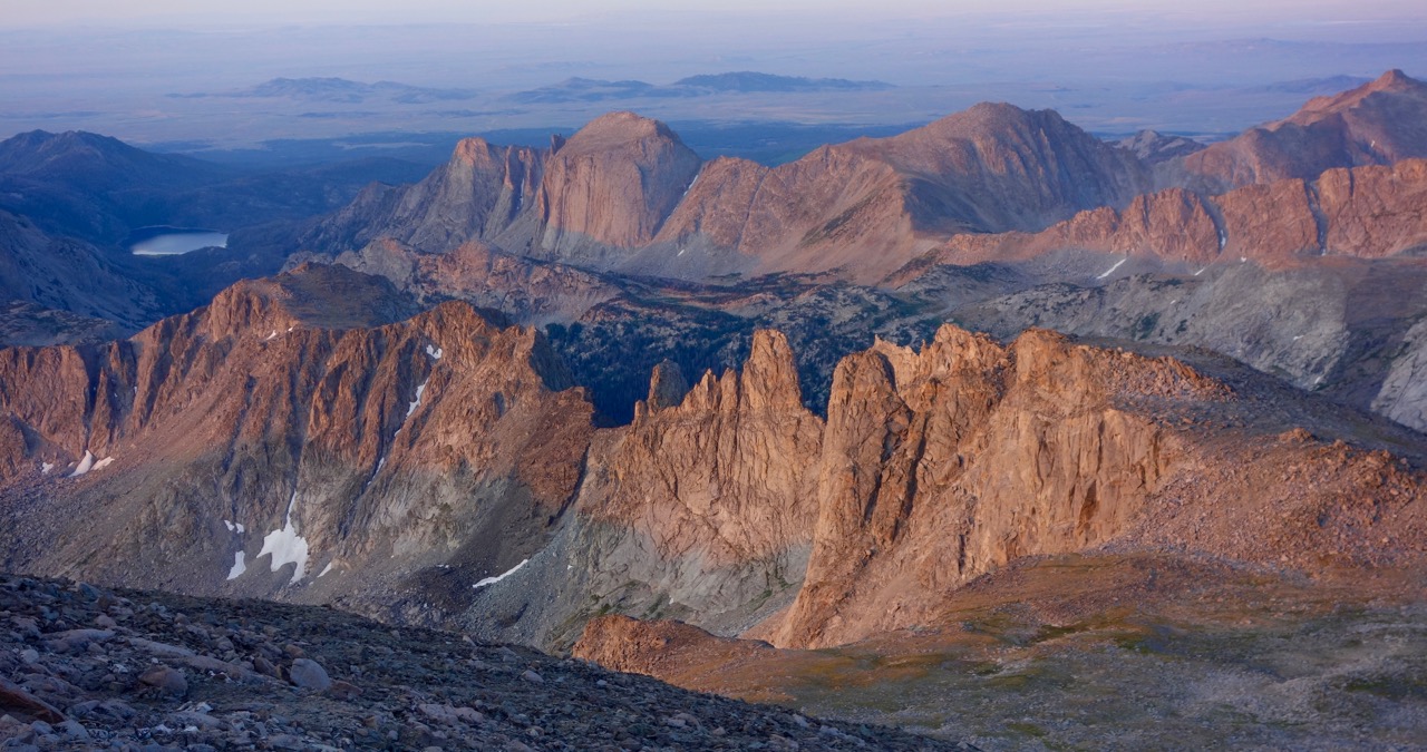 Looking SW.
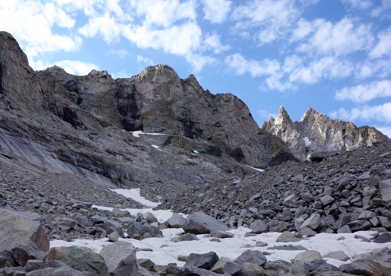
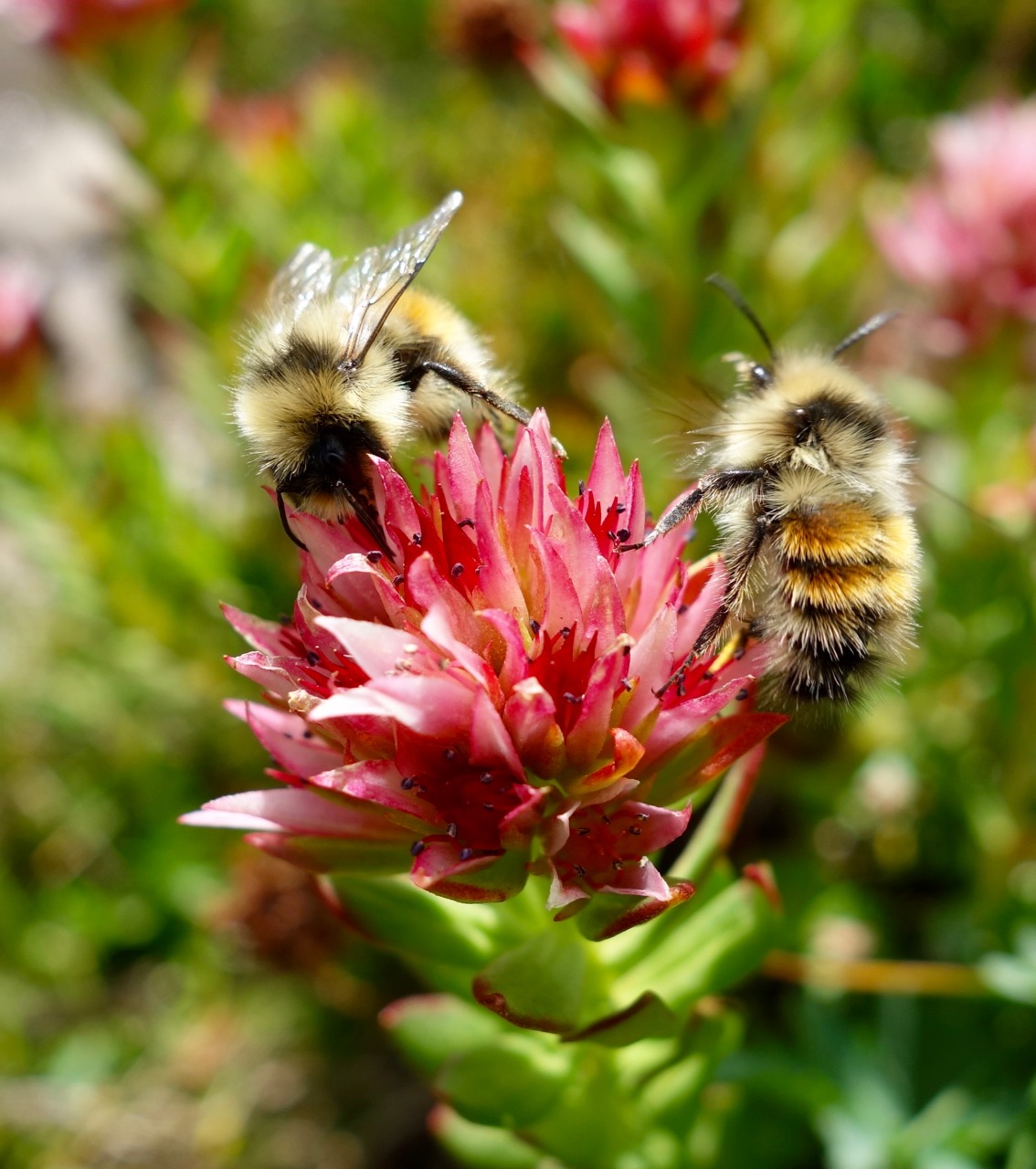
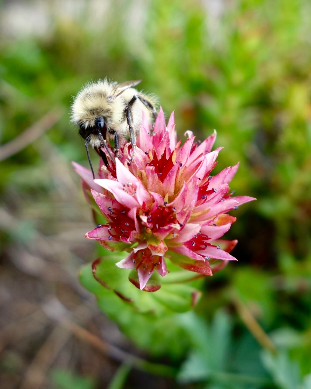
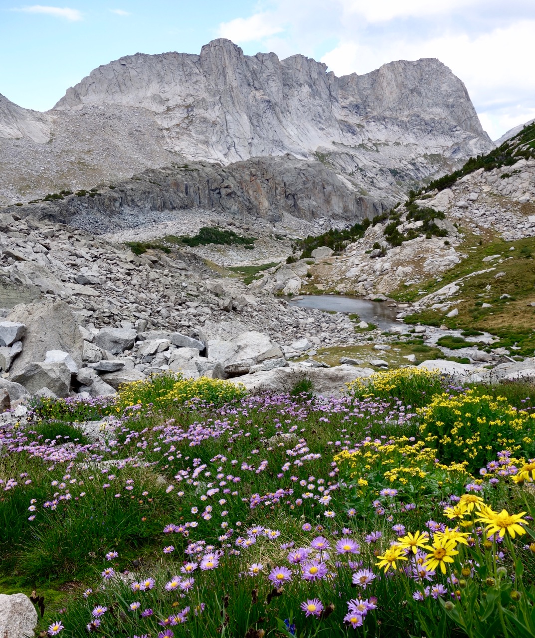 East side of Haystack from a flowery meadow.
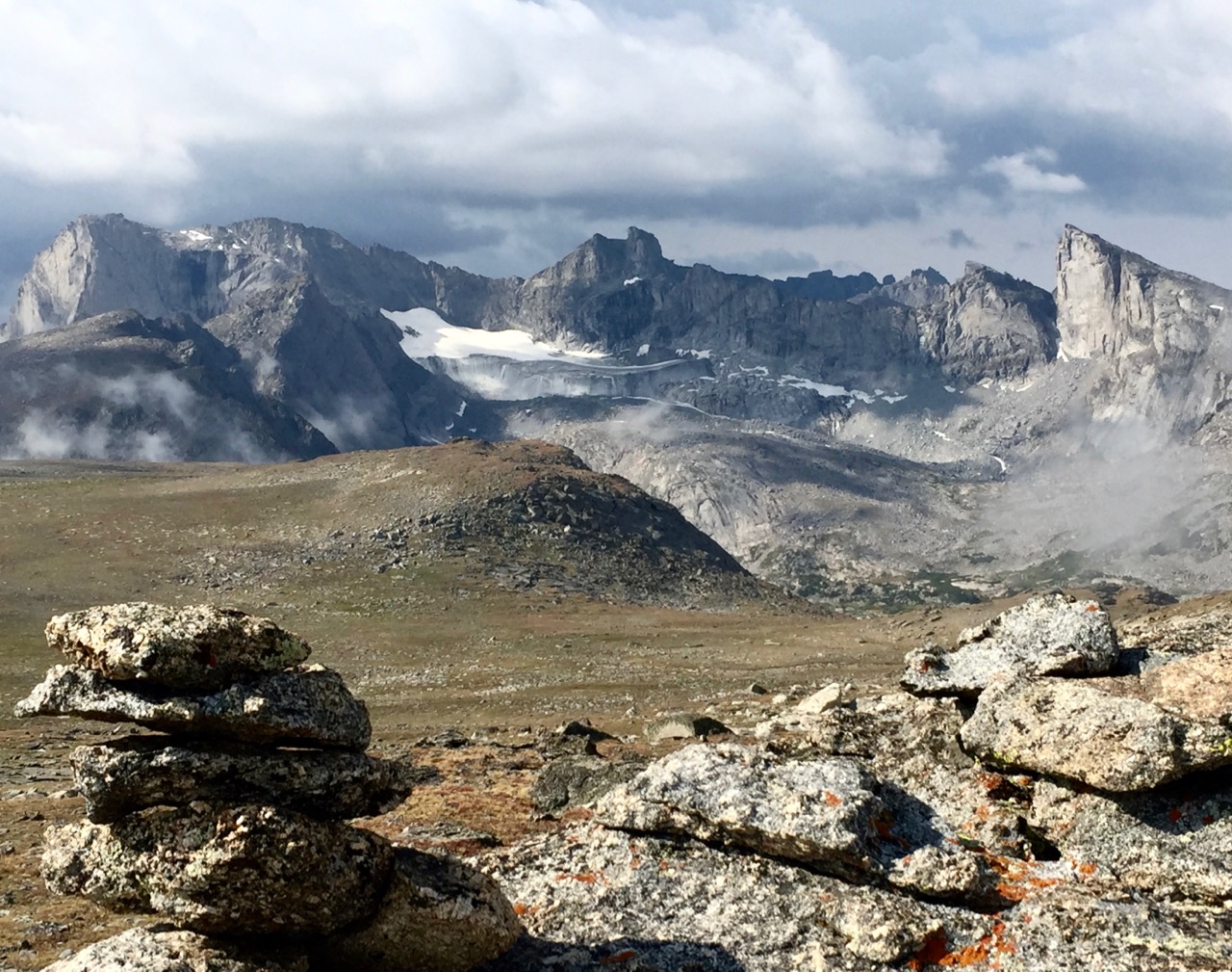 A short break in the weather gave me this view from the Lizard Head plateau.
