Topic

SoSHR Six 14er Trip Report

Viewing 8 posts - 1 through 8 (of 8 total)
PostedOct 30, 2016 at 10:47 am

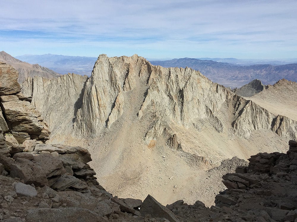
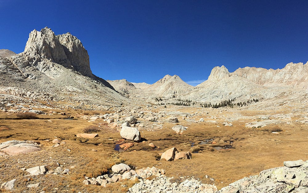
I follow a portion of the SoSHR (Southern Sierra High Route). I enter at Kearsarge Pass in the North on September 23 and exit at Cottonwood Lakes in the South, traveling cross-country for a total of ten days and 66 miles, visiting six 14,000 ft peaks (14ers) along the way. A COMPLETE trip report with many more LARGE photos may be found at: http://www.trailnamebackstroke.com/soshr-14er-2016/
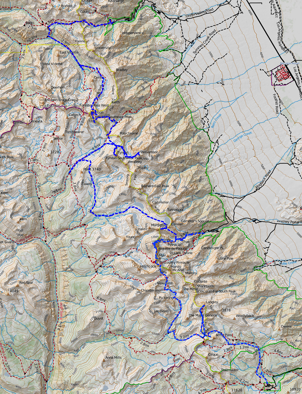
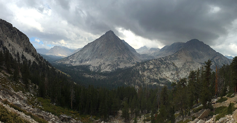
I join the JMT south and stop just before going off-trail up Center Basin. The weather is not good and becomes much colder that night than I expect, freezing several items I do not protect.

I follow Center Basin south to up to Junction Pass, then down a nasty talus field and then back up to Shepherd Pass to then finally reach my first two peaks, Mt. Tyndall and Mt. Williamson.

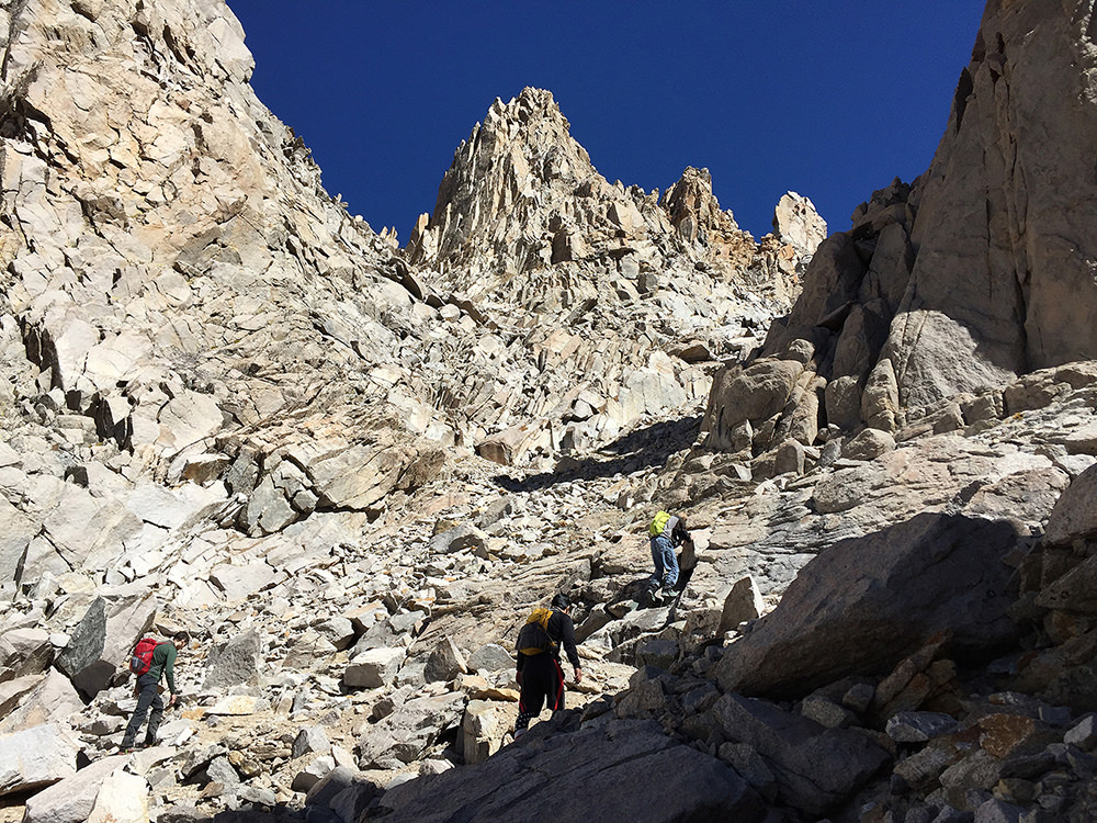
The ascent of Mt. Williamson is one of the more strenuous efforts, and the most fun.

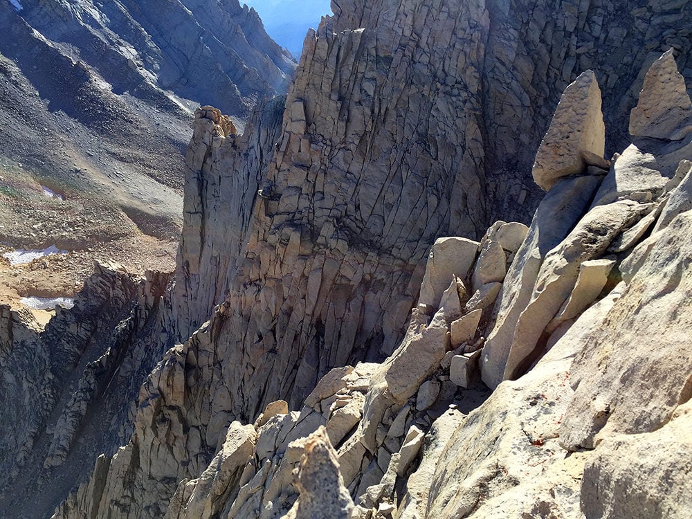
Mt. Russell is the stiffest, most creepy of the six peaks. I don’t quite make it to the summit; I am not mentally prepared for that kind of vertical exposure.

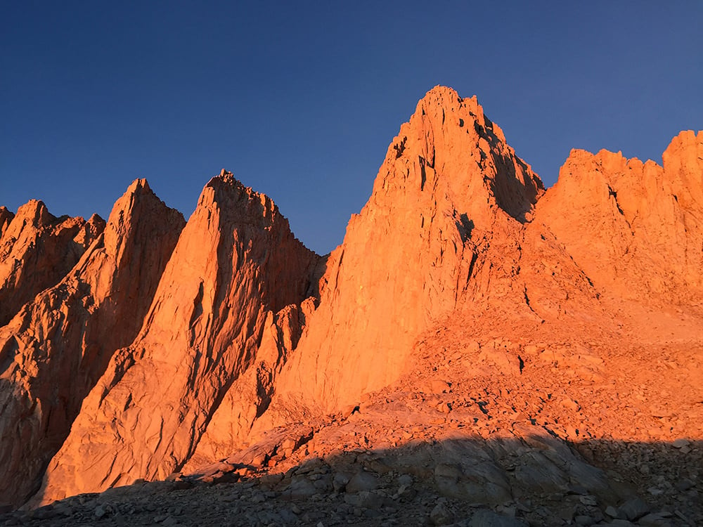
Mt. Russell and Mt. Whitney sit opposite each other. I take the Mountaineer’s Route up Whitney.

I conclude by descending the Miter Basin and visiting Mt. Langley on the way out Army Pass.

http://www.trailnamebackstroke.com/soshr-14er-2016/
PostedOct 30, 2016 at 3:31 pm

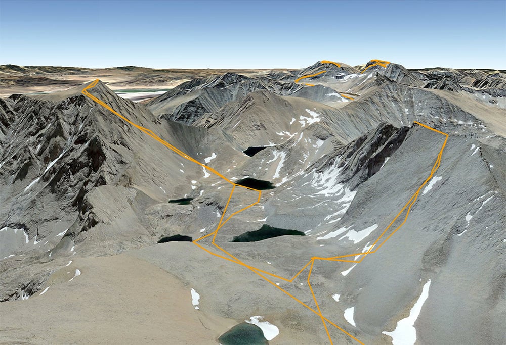
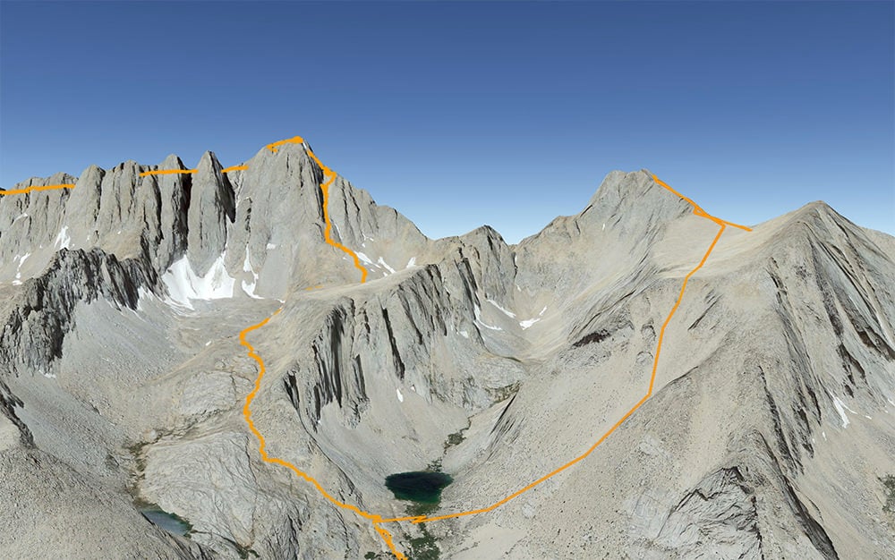
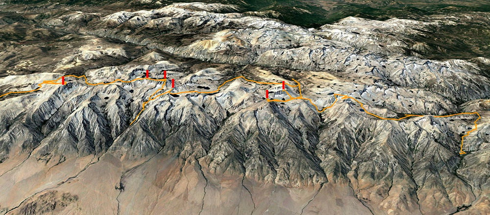
What an epic journey. Well done, Cameron. I enjoyed the entire TR thoroughly, and found the combination of photos, narrative, and Google 3-D maps very effective. Thanks for taking the time to put this one together.

Ben C BPL Member
PostedOct 30, 2016 at 3:58 pm

Looks like a really fun trip.  I need to climb a few more peaks next time I am out there.

Andy Duncan BPL Member
PostedNov 9, 2016 at 1:21 pm

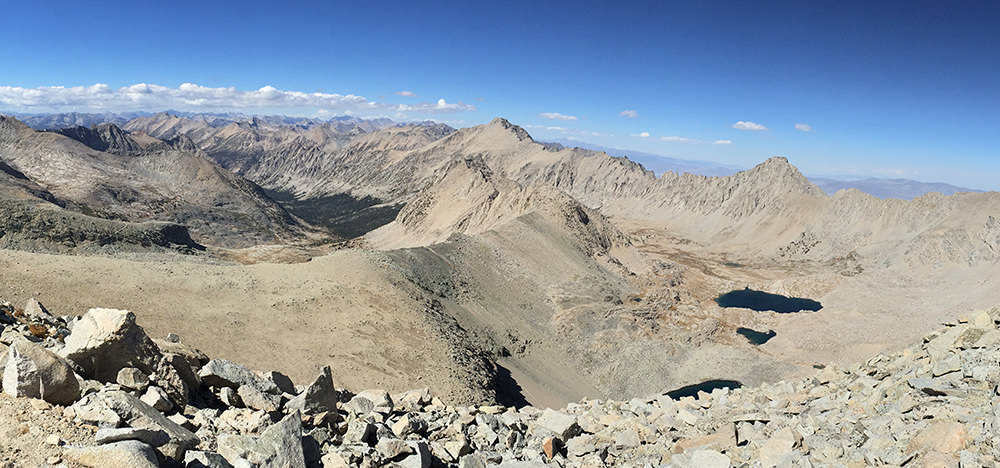
This must have been a great adventure! Thanks for the trip report, photos and gps route details. Your photos are beautiful and the clarity is impressive. Having covered some of the same terrain this summer it was nice to relive some of my favorite areas. BTW, your photos of the final chute to the plateau on Mt. Williamson give a good perspective of what to expect, they are much better than anything I’ve seen online. Thanks! The photos from Russell-Carillon Col looking down toward Tulainyo Lake are awesome. I had almost forgotten about the demoralizing endless talus fields. . . but your photos brought them right back, thanks for that:)

Jake J BPL Member
PostedNov 10, 2016 at 12:05 am

Haha! Such a small world! My friend and I were up there that same weekend and met you as you were making your way down the Shepherds Pass Trail through the Tyndall Creek Drainage after you summited Williamson. You were the only other person we saw on that stretch of trail and I distinctly remember your LaSportiva TX3’s and green Vapor Helmet.

My friend and I were planning a similar route originally, but instead of going through the Wright Lakes drainage and then up to Wallace and Wales we were planning on heading up and over Trojan and Barnard then down to Wallace/Wales and Tulainyo. My hiking partner underestimated the terrain and his preparedness so we ended up just sticking to the area around Tyndall. The day we ran into you were on our way back to our campsite next to the big boulders between Polychrome and Tyndall. We had transited Tyndall via the north rib and descending the south face, and then all the way around the south peak of Tyndall over Rockwell Pass.

Great TR! Now seeing your pics of the spots we skipped I’m bummed that we didnt get to complete out intended route..

PostedNov 12, 2016 at 7:52 am

@Andy- Next May or June I hope to cover some of the more northern terrain you walked this summer, but using snow cover to avoid the talus. The iPhone is extremely capable, you just have to work within its range, and of course good light always carries the day. I fine-tune most of the photos: sometimes adding less than a 5% saturation hike; I often slightly to bump up the low levels; and sometimes I slightly sharpen them, although rocky and fine detailed areas can get crunchy very fast.

@Jake- When I met you I was enjoying the relief of a trail, and that night I actually descended some distance off my route in order to go below treeline and out of the wind. That area up there with Trojan and Barnard is one great playground I want to return to.

Kattt BPL Member
PostedNov 12, 2016 at 8:59 am

Really impressive Cameron. Your pictures are stunning and the drawings on the images here to show your route are very helpful . Hopefully one day I can do something like this. Thanks for the inspiration.

Viewing 8 posts - 1 through 8 (of 8 total)
Loading...