Allen Currano and I did a cross-country trip through some of my favorite parts of the Sierras a couple of weeks ago. We had planned to try for an FKT in 14 hours, but got distracted by a marmot and took 4 days.
North Lake TH – Lamarck Col – Darwin Bench – Snow Tongue Pass – Humphreys Basin – Puppet Pass – Merriam Lake – Feather Pass – Bear Lakes (2 days) – Italy Pass – Pine Creek TH.
We took in the peak just south of Snow Tongue Pass on the Glacier Divide above Goethe Glacier – stable talus from the col, class 2 with a couple of spots of class 3. We had also planned on trying Feather Peak from Feather Pass, but rain and hail stymied those plans, and we retreated to our shelters for an afternoon at Bear Lakes. Unexpectedly, the next morning dawned completely clear, and we made our third target, the summit of Seven Gables. This non-technical summit must be one of the most spectacular view points in the Sierras.
The wildflowers were exceptional, notably on Darwin Bench and in the Seven Gables Lakes valley.
Seven Gables route
From the obvious col between the main summit and the north satellite, it’s straightforward stable talus to the summit, Class 2 with occasional easy Class 3, with no exposure unless you choose to clamber onto the tippy-top where Allen is sitting in the photo (I declined!). The easiest route to the col is the west side walk-up from Sandpiper Lake, on a spur trail off the JMT. From the Bear Lakes side, the col can also be reached (as we did) via the steeper gully on the east side. The east gully does hold snow until late in the season, but was not an issue on our trip in early August. On our ascent of the east gully we tried to take advantage of holds on the climber’s left (south) wall of the gully, but this was a mistake, proving steep and unstable. Just slogging up through the loose scree & gravel on the gentler right (north) side of the gully is tedious but safer.
Photos to follow below.

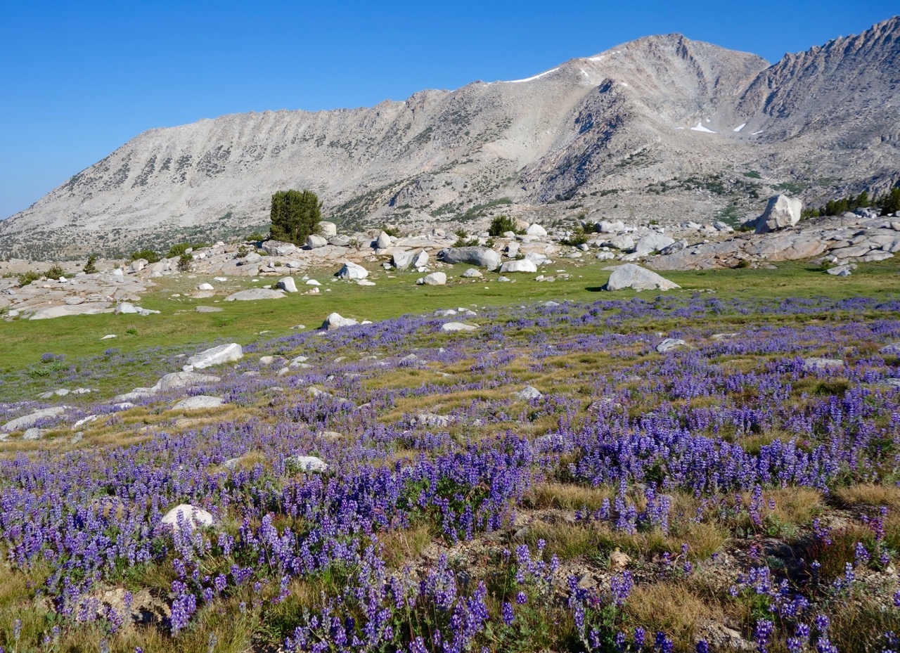
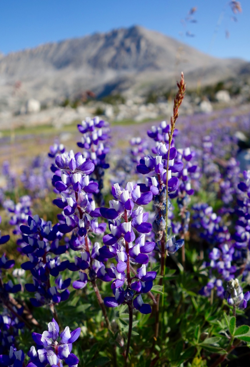 Lupines on Darwin Bench and the approach to Snow Tongue.
 Leopard Lilies on the slopes above Evolution Valley.
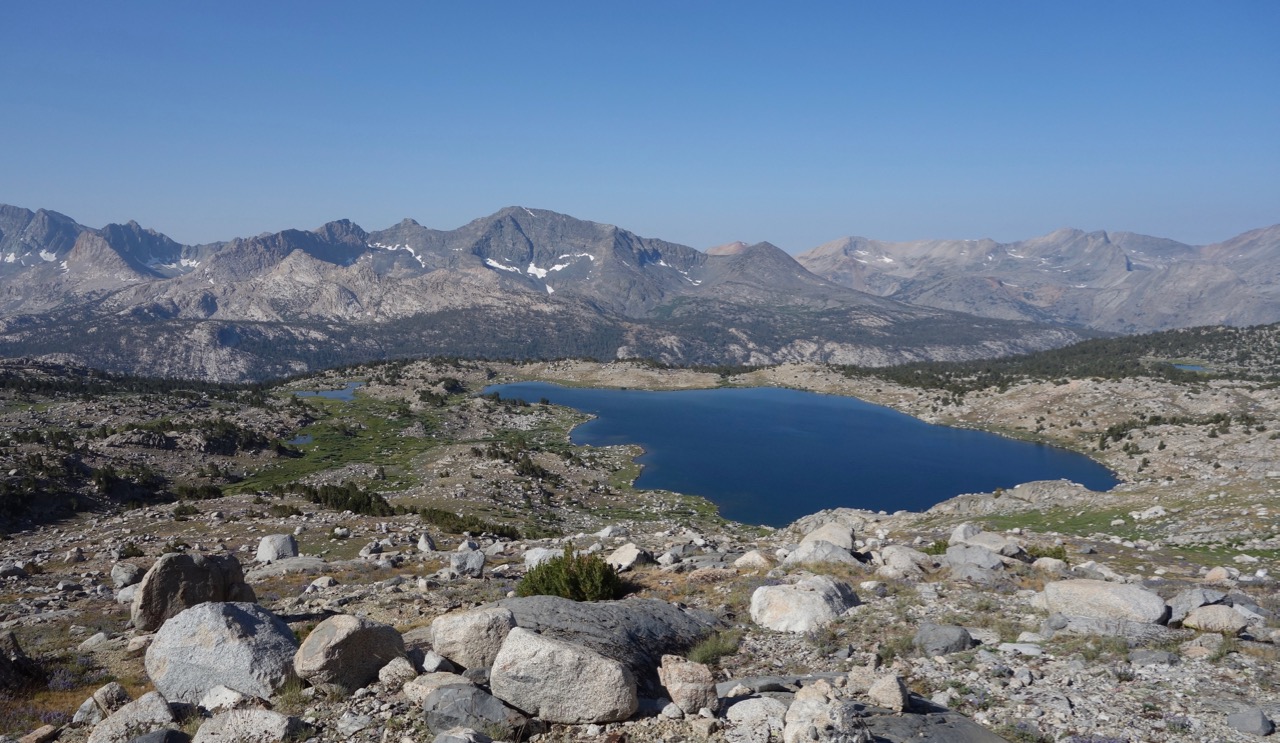 Lake (?) Frances above Evolution on the western approach to Snow Tongue
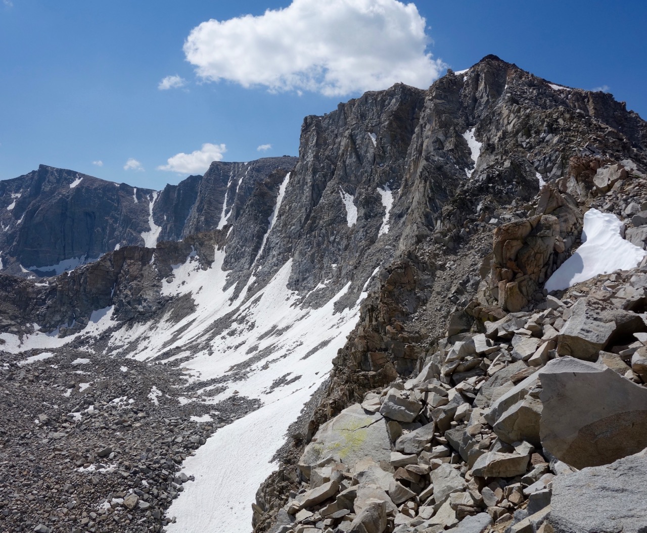 Goethe Glacier, from halfway up the ridge south of Snow Tongue Pass.
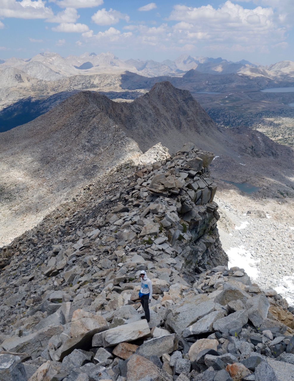 Ridge south of Snow Tongue, looking back down toward the Pass.
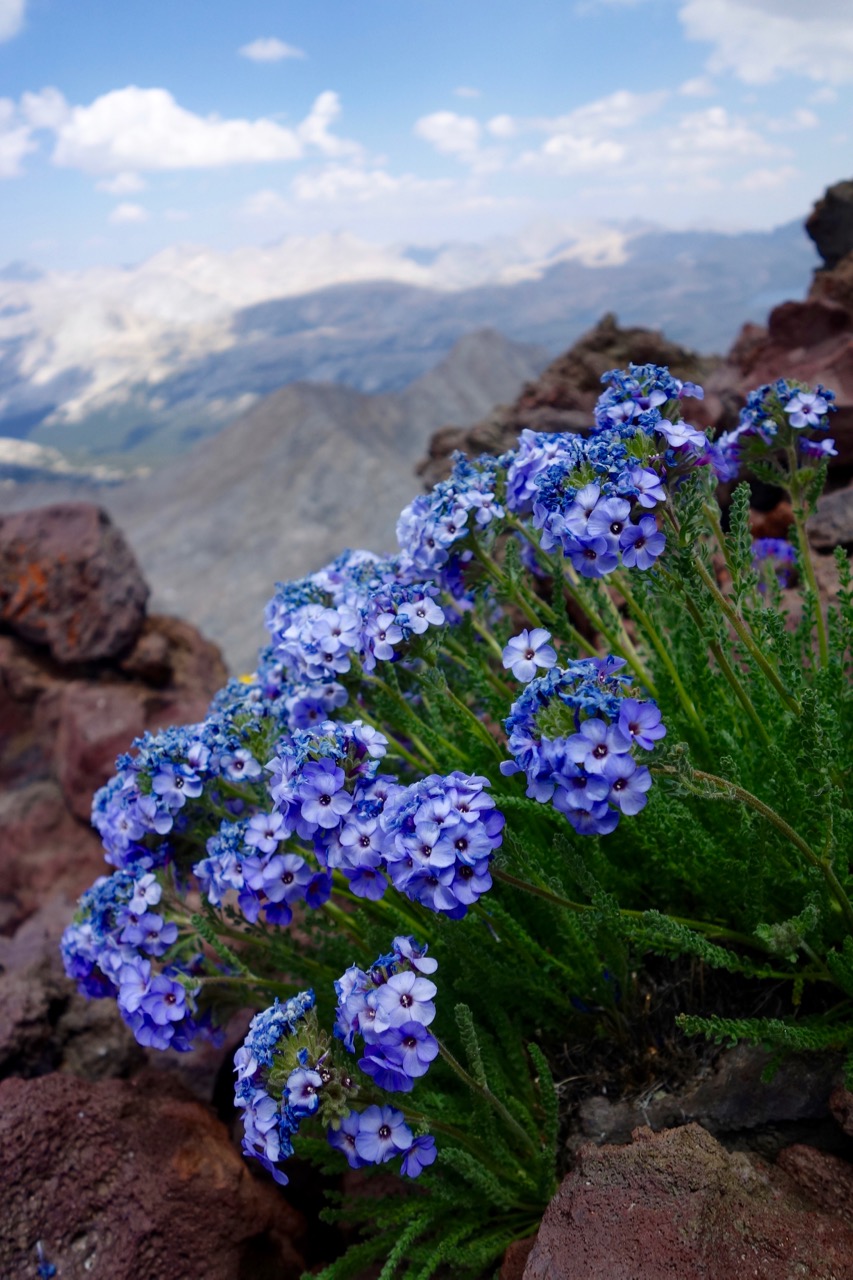 Sky Pilot on the summit south of Snow Tongue
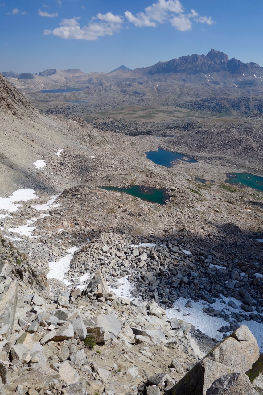 The chute on the east side of Snow Tongue, Mt Humphreys in the distance
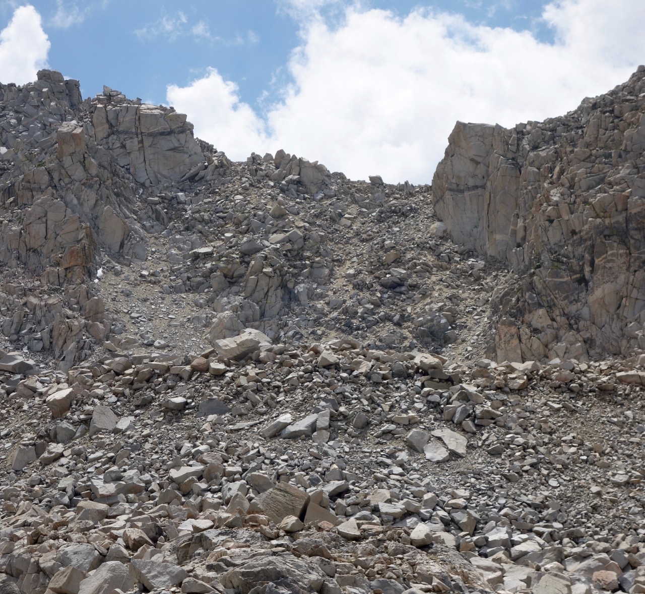 Looking back up at the east side of Snow Tongue. This was much less daunting that it seemed the first time a couple of years ago – loose crap for sure, but not nearly so steep as I remembered. Traveling cross-country in the Grand Canyon presumably eventually modifies your definitions of “loose” and “steep”.
 Sierra Shooting Star
 Mt Humphreys in evening sun from bench east of Puppet Pass
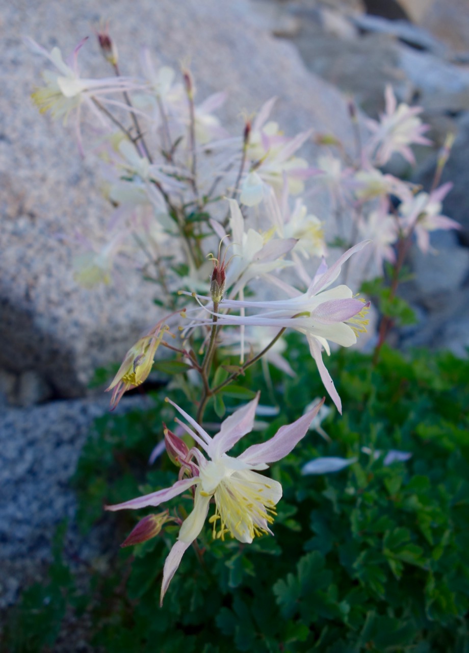 Columbine on W side of Puppet Pass
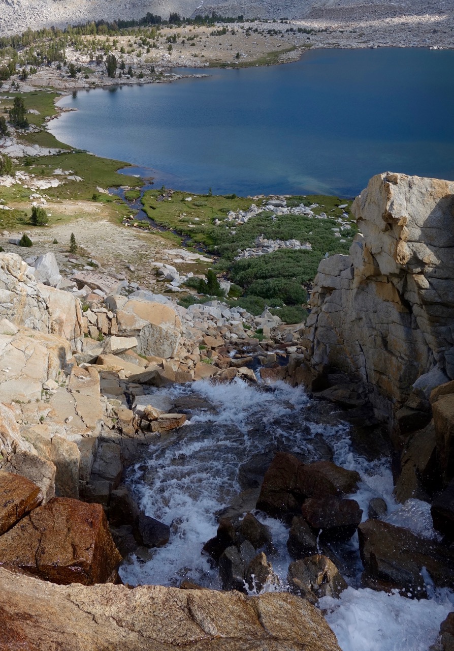 Merriam Lake inlet cascade. Note the sandy beach!
 Comfortable chin-rest aids in plotting downfall of puny humans
 Camp in Bear Lakes area, Feather Peak above.
 Seven Gables from minor summit north of Vee Lake outlet. The approach is via the obvious V-shaped col between the main summit and the north satellite at right, from either the east side shown above or the easier far (west) side.
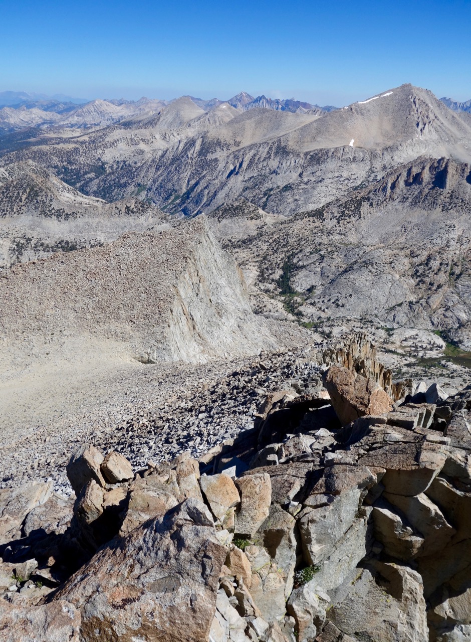 The talus-strewn ridge of Seven Gables, looking back down at the col and the north satellite peak beyond.
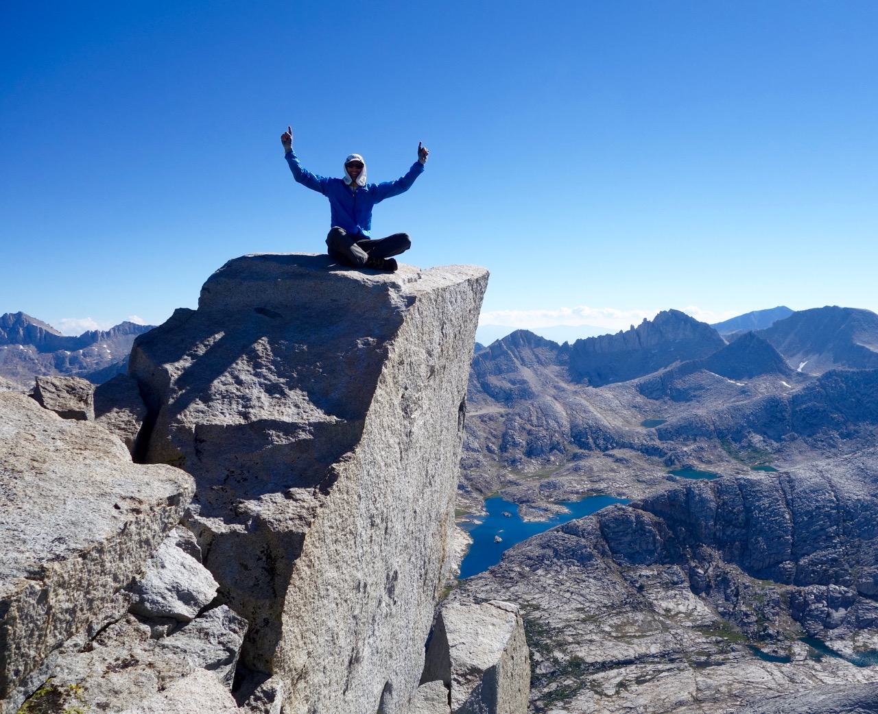 Allen on the summit.
 Looking west from the Seven Gables summit to Marie Lake and Mt Hooper.
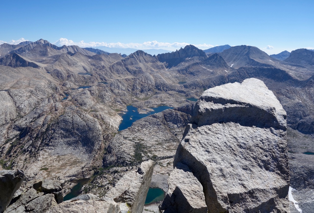 Looking east from the summit to Vee Lake, named for John Muir’s beloved mistress Violet “Vee” Murgatroyd.
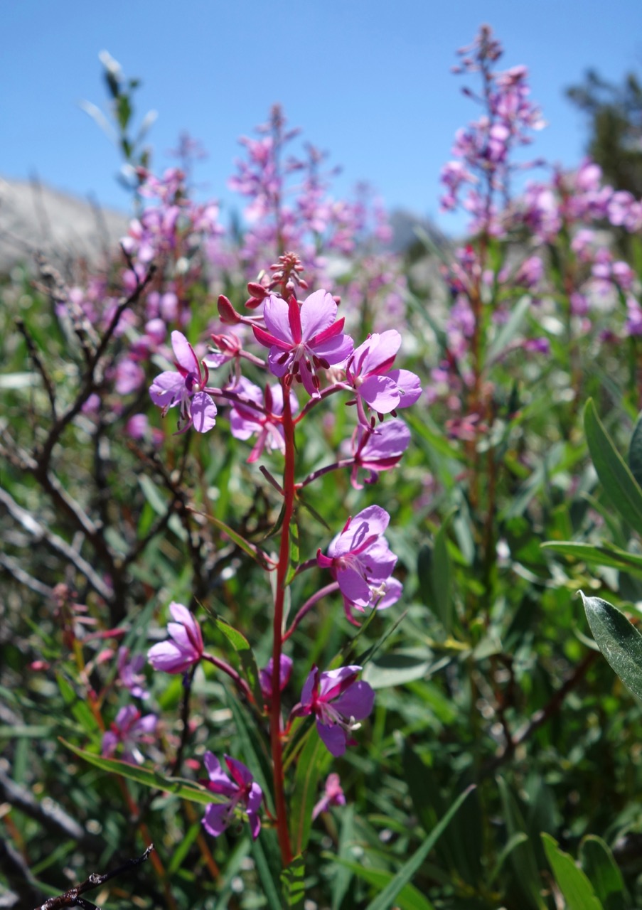 Fireweed
 Ranger’s Buttons
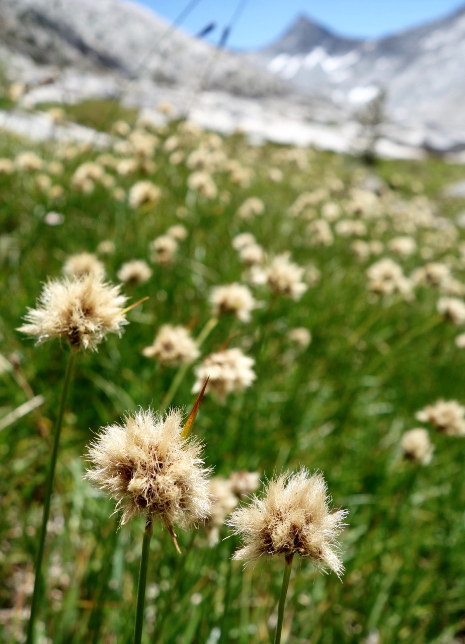 Unknown