Eight years ago I titled my SHR trip report Sierra High Route – The Trip of a Lifetime. Someone commented back then “Whilst it may be the trip of a lifetime, I have a feeling many trips of a lifetime are in your future.” How right he was!
While backpacking the John Muir Trail with my girlfriend last year, I would from time to time point at passes along the wayside and speak in glowing terms about the basins one would find on the other side when hiking the Sierra High Route. My girlfriend’s interest got eventually piqued and we decided to backpack the Sierra High Route this summer with 50% more time than Andrew and I took eight years ago so we can swim and fish whenever we like.
As the saying goes “A picture is worth a thousand words”. While I couldn’t describe the beauty, we experienced, in a thousand words, our photos give you a little glimpse into what it is like out there. Go and experience it for yourself if you have the chance – it is amazing!
Day 1: Road’s End to Lower Tent Meadow
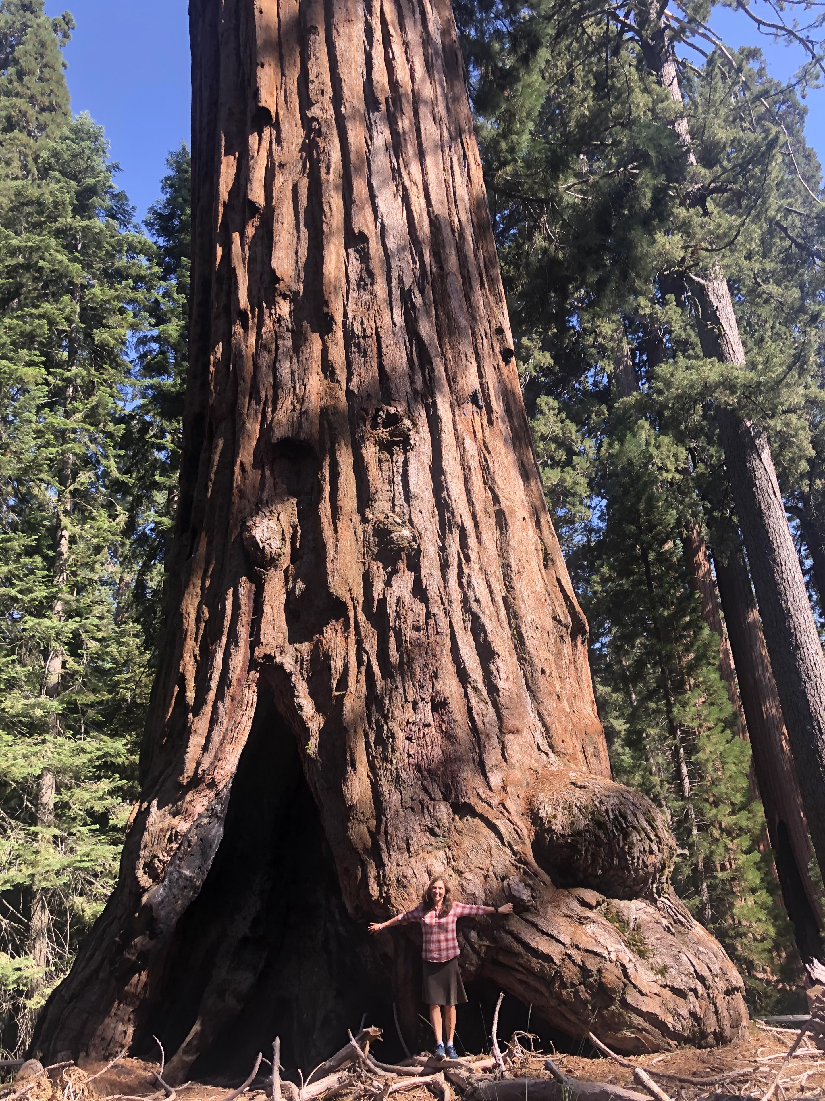
On our way to Kings Canyon National Park
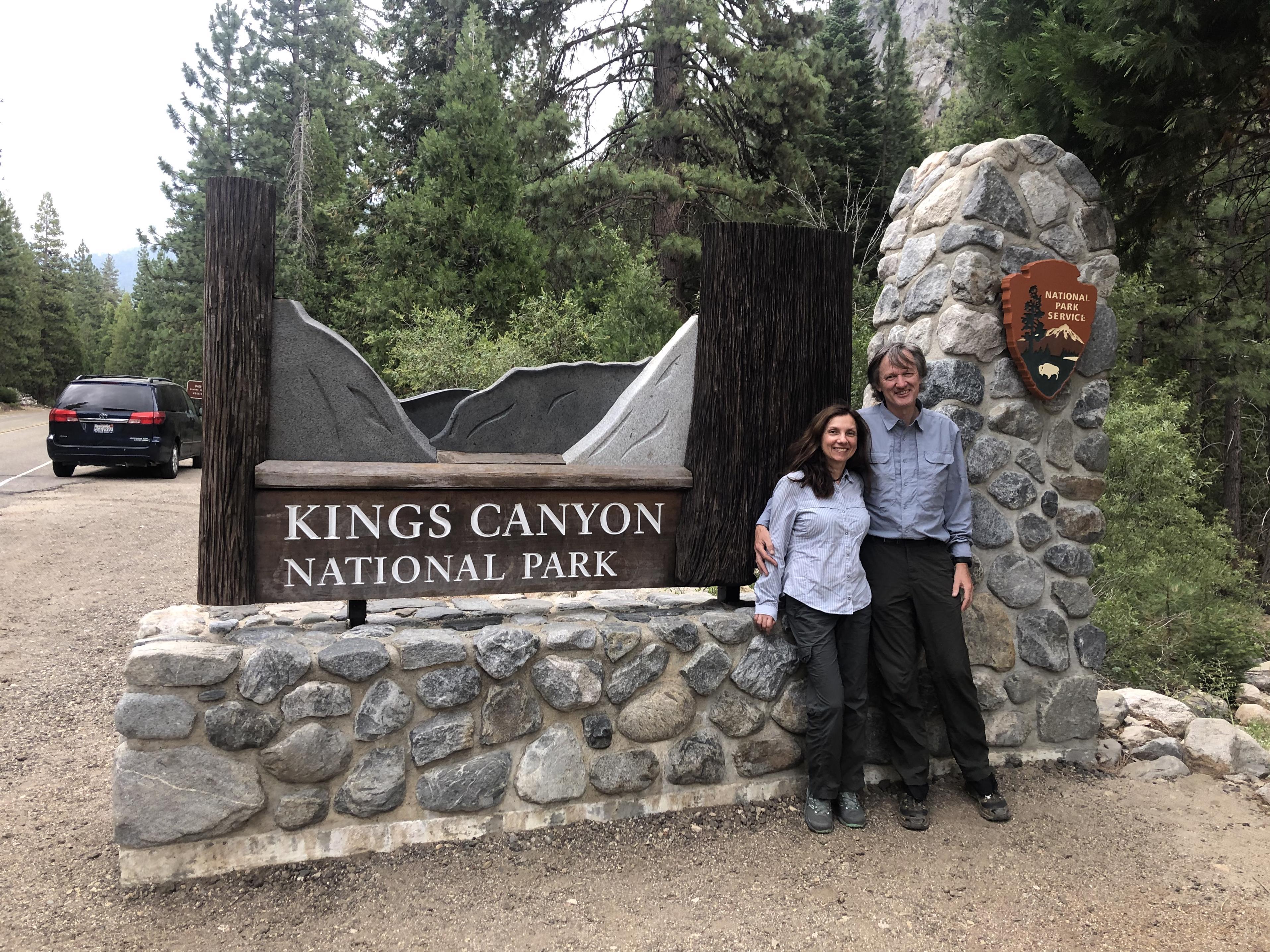
we stopped briefly at the General Grant Grove to admire the giant sequoias.
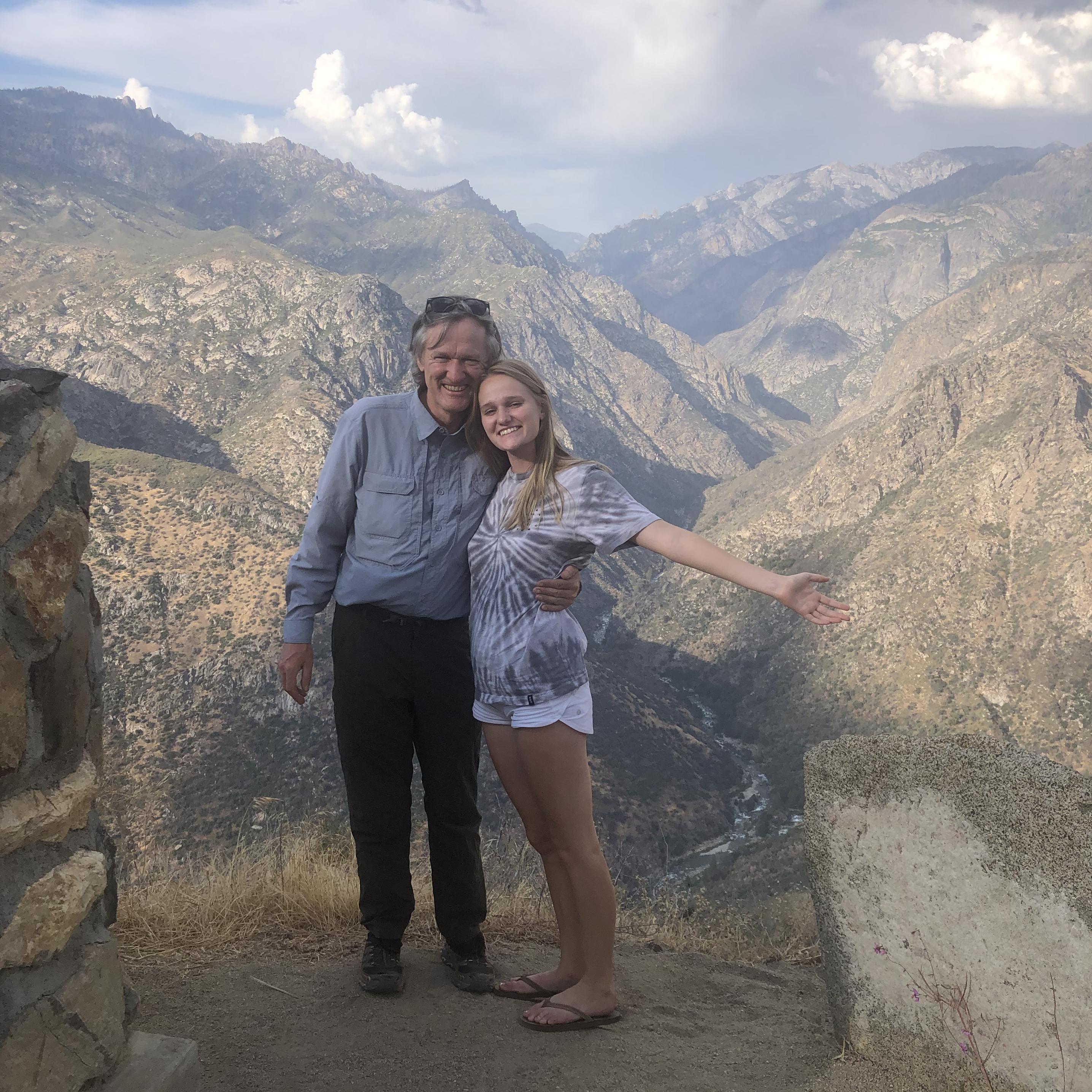
My daughter Hannah, who has been for many years a faithful companion on backpacking trips was driving us and we stopped briefly to take a photo together overlooking the confluence of the South and Middle Fork of the Kings River.
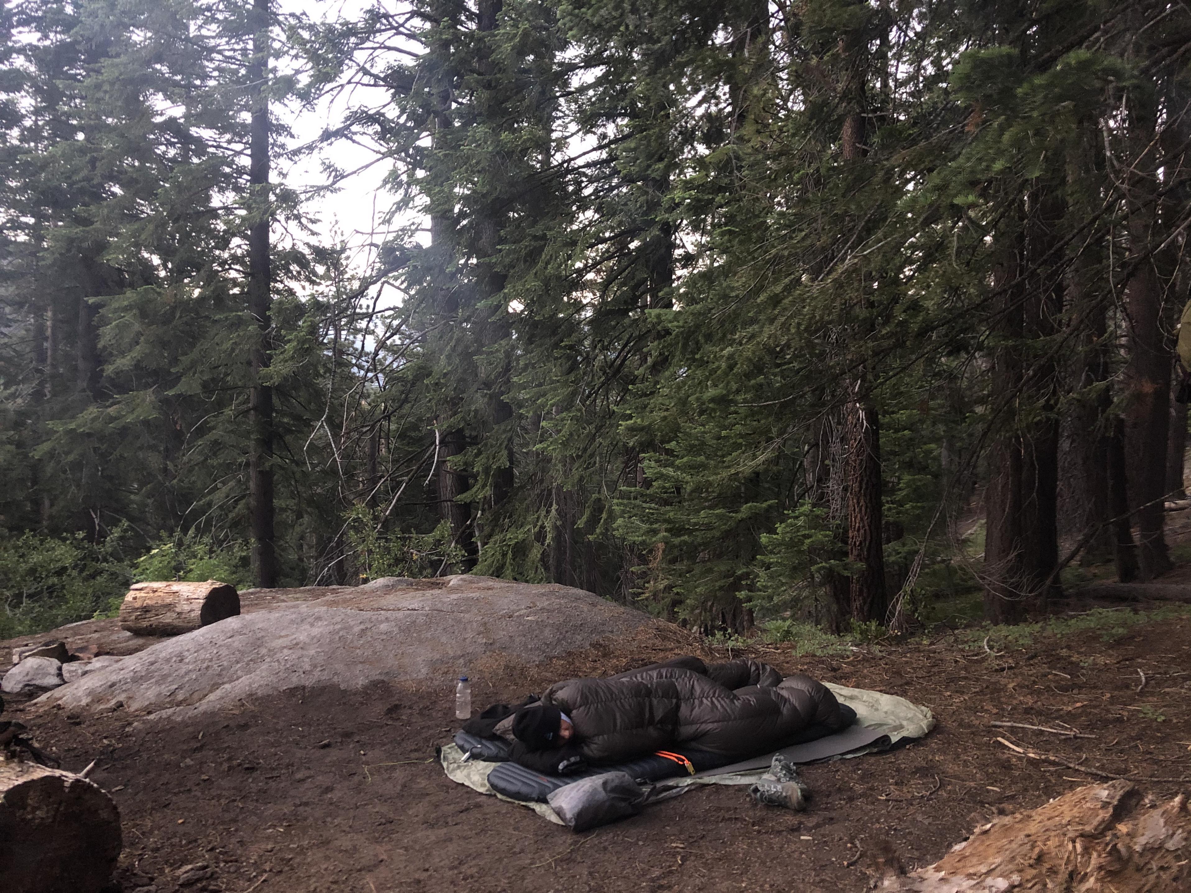
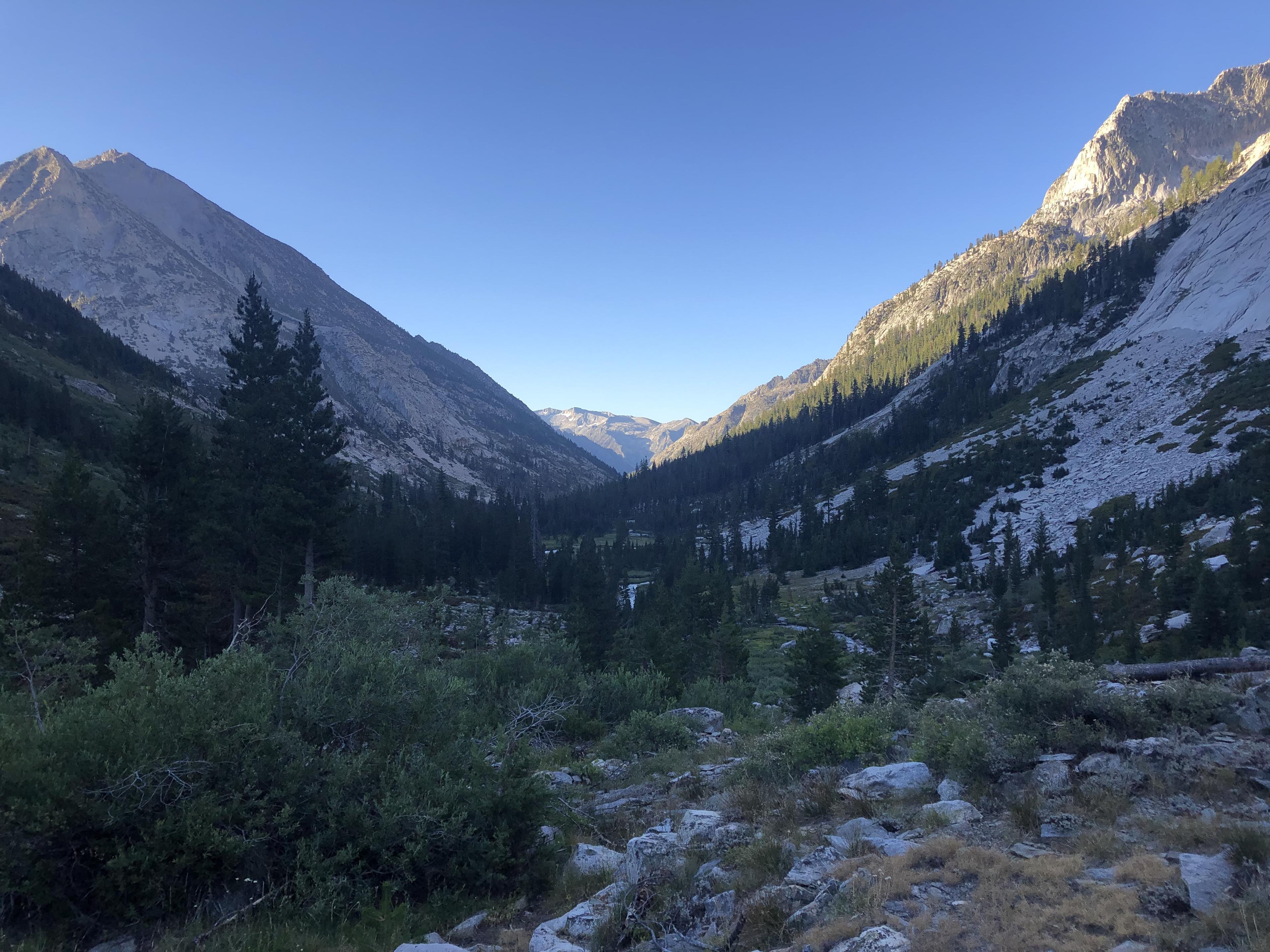
Once Hannah dropped us at the Copper Creek trailhead, Gela and I climbed the first 2,300 ft to Lower Tent Meadow for our first of many nights sleeping under the stars
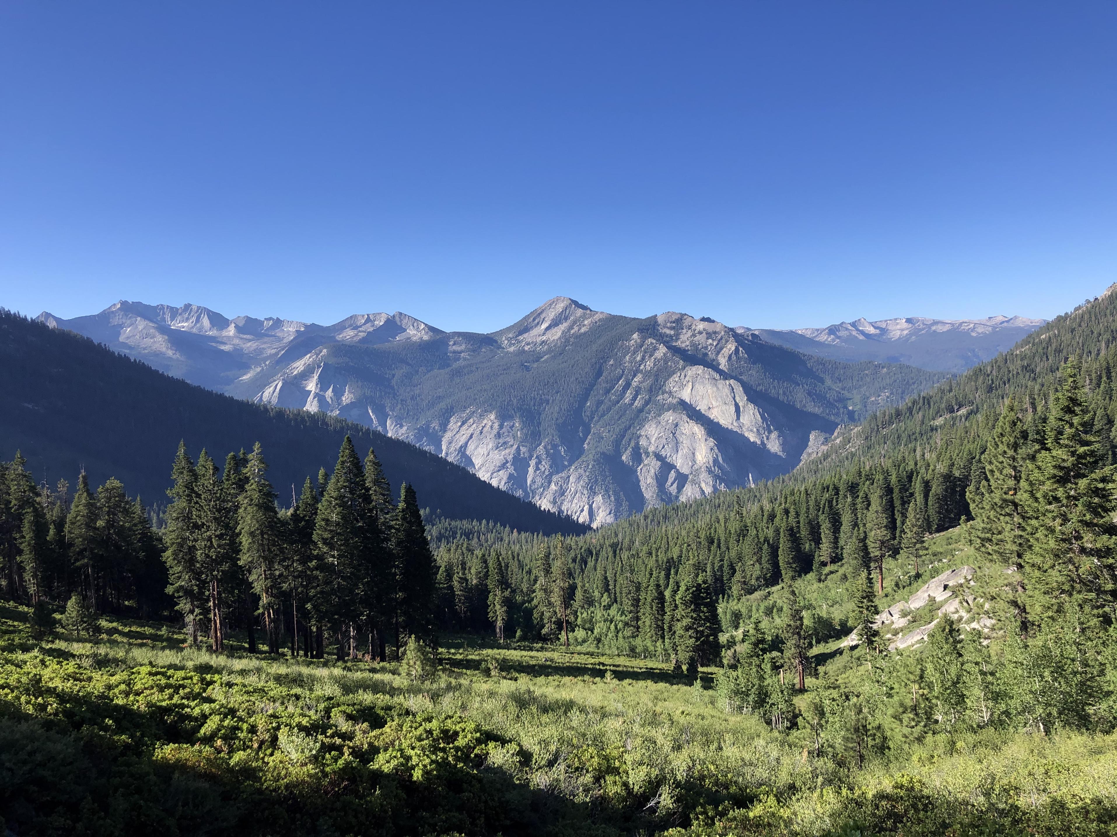
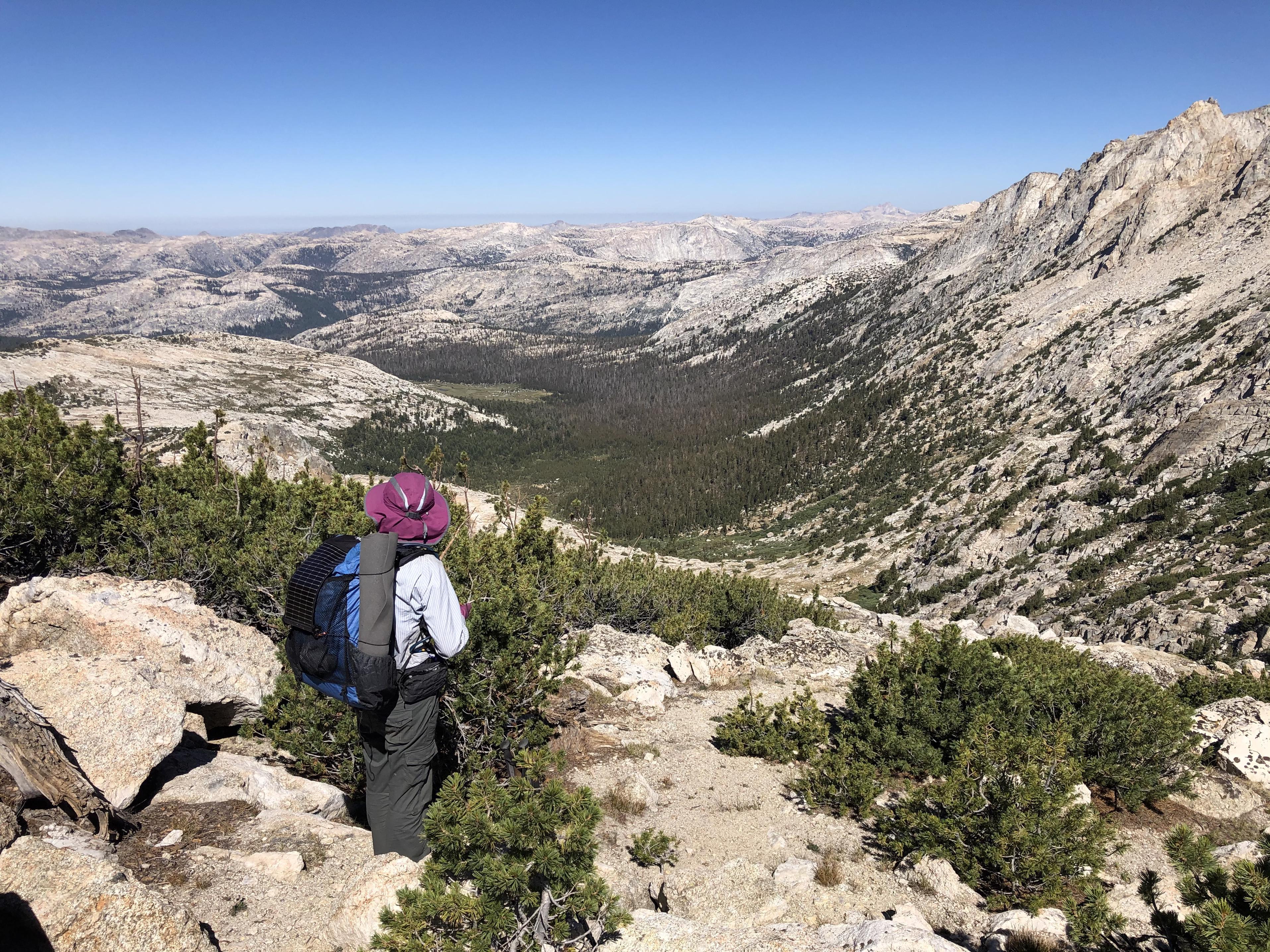
Day 2: Lower Tent Meadow to Lower State Lake
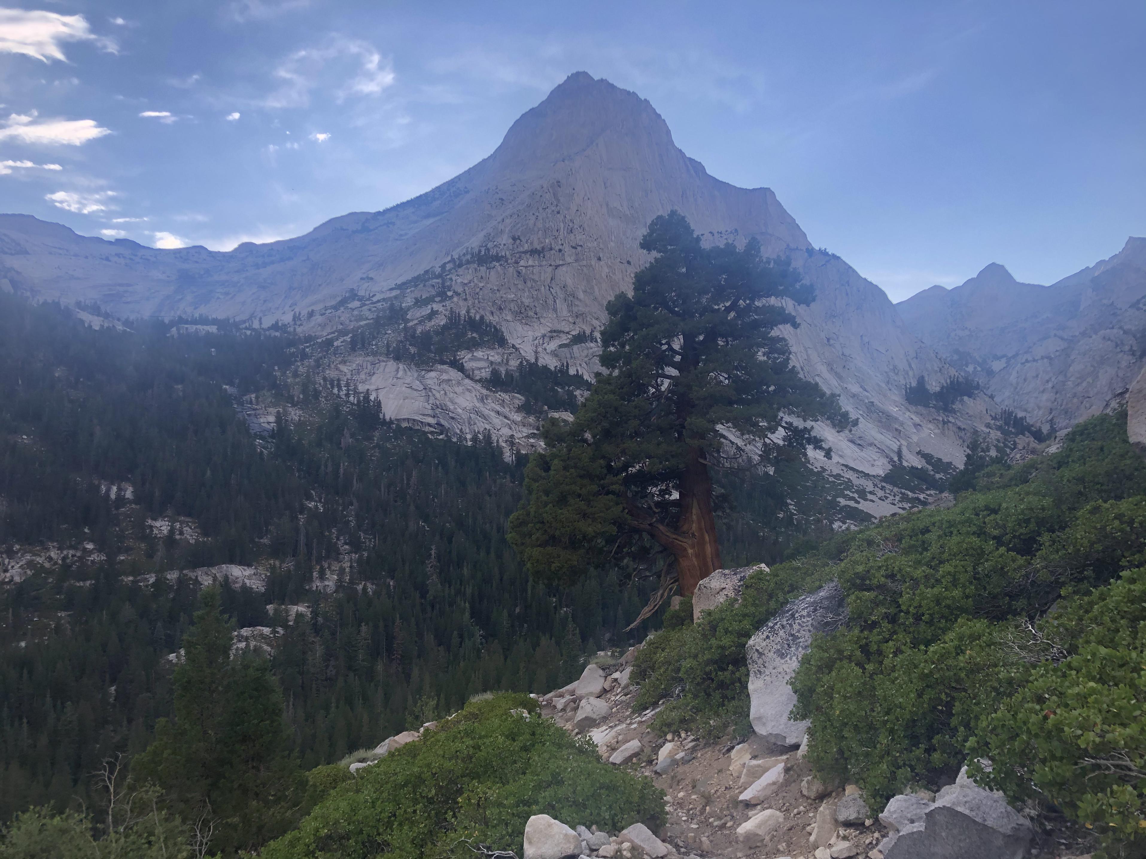
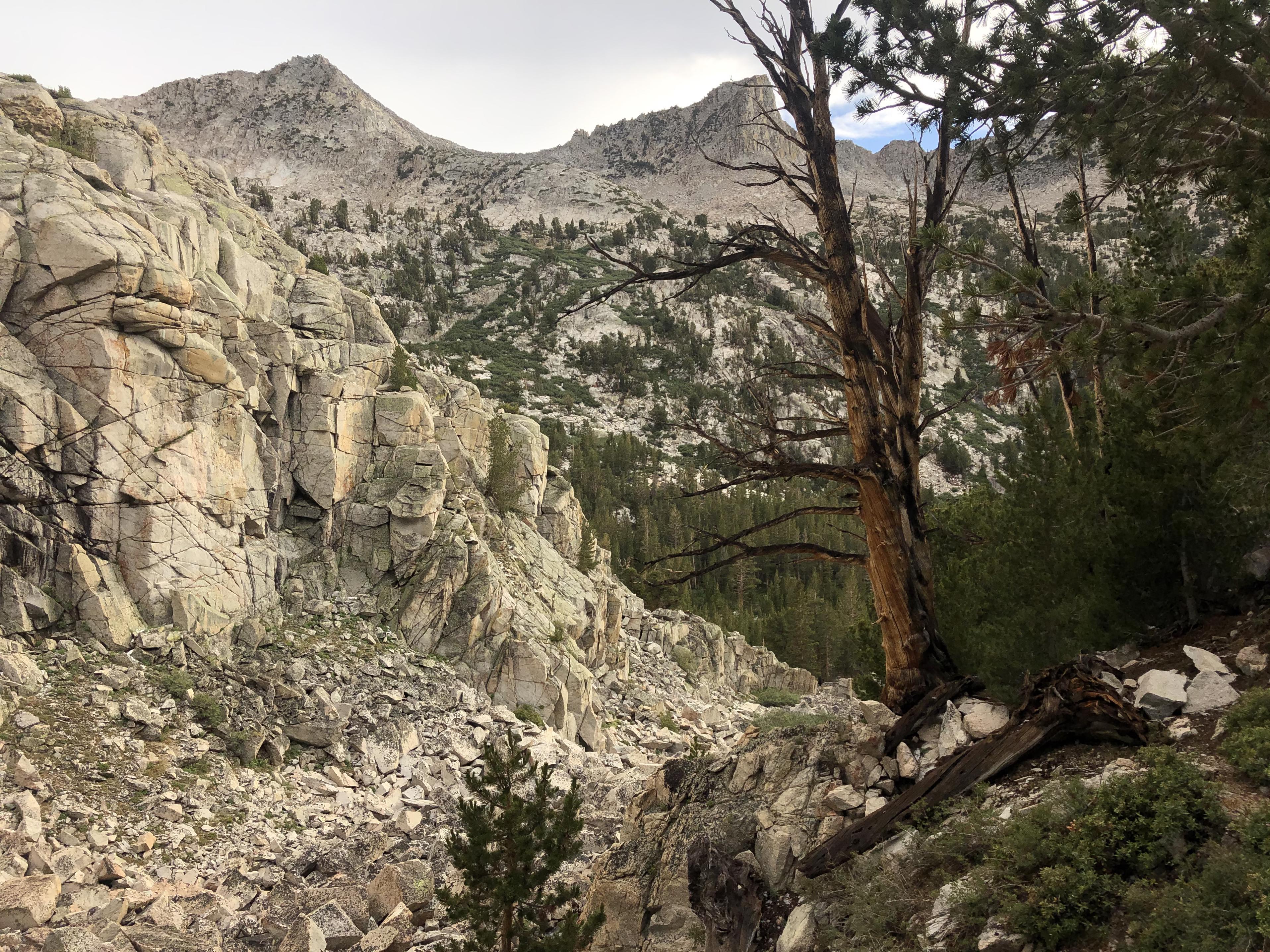
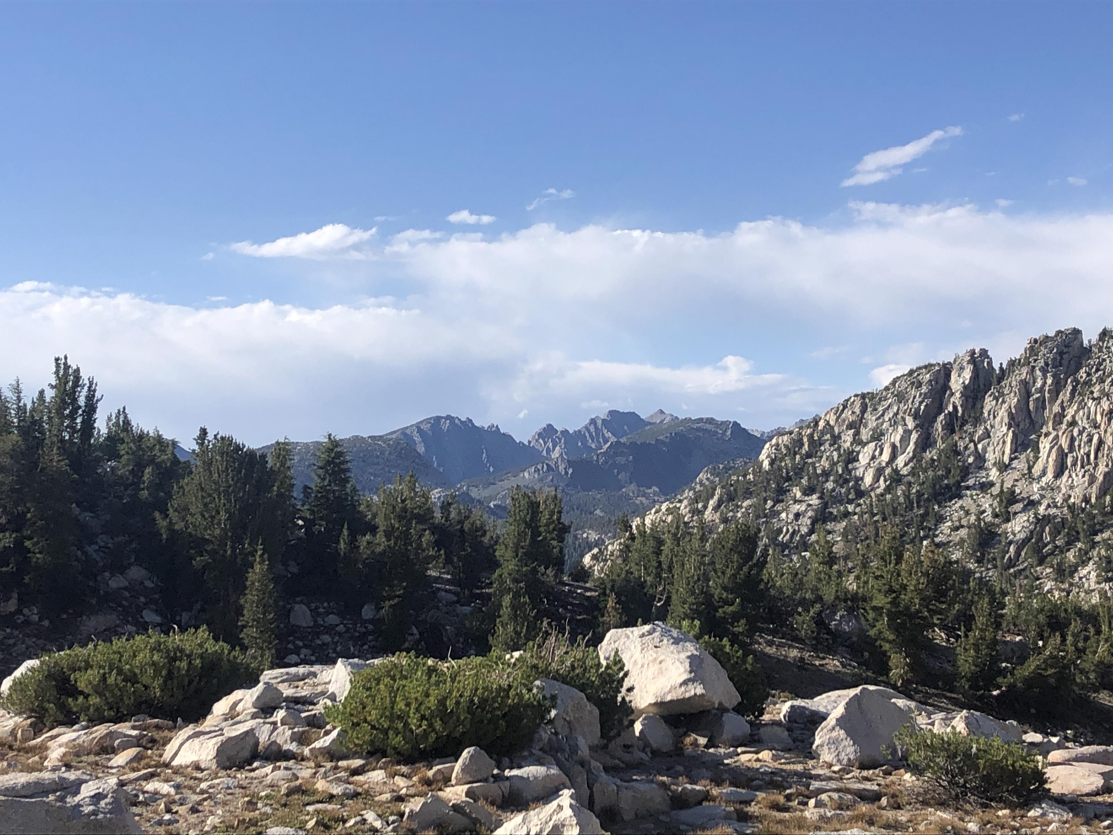
While climbing up another 2,800 ft we said ‘good bye’ to Kings Canyon and the Grand Sentinel.
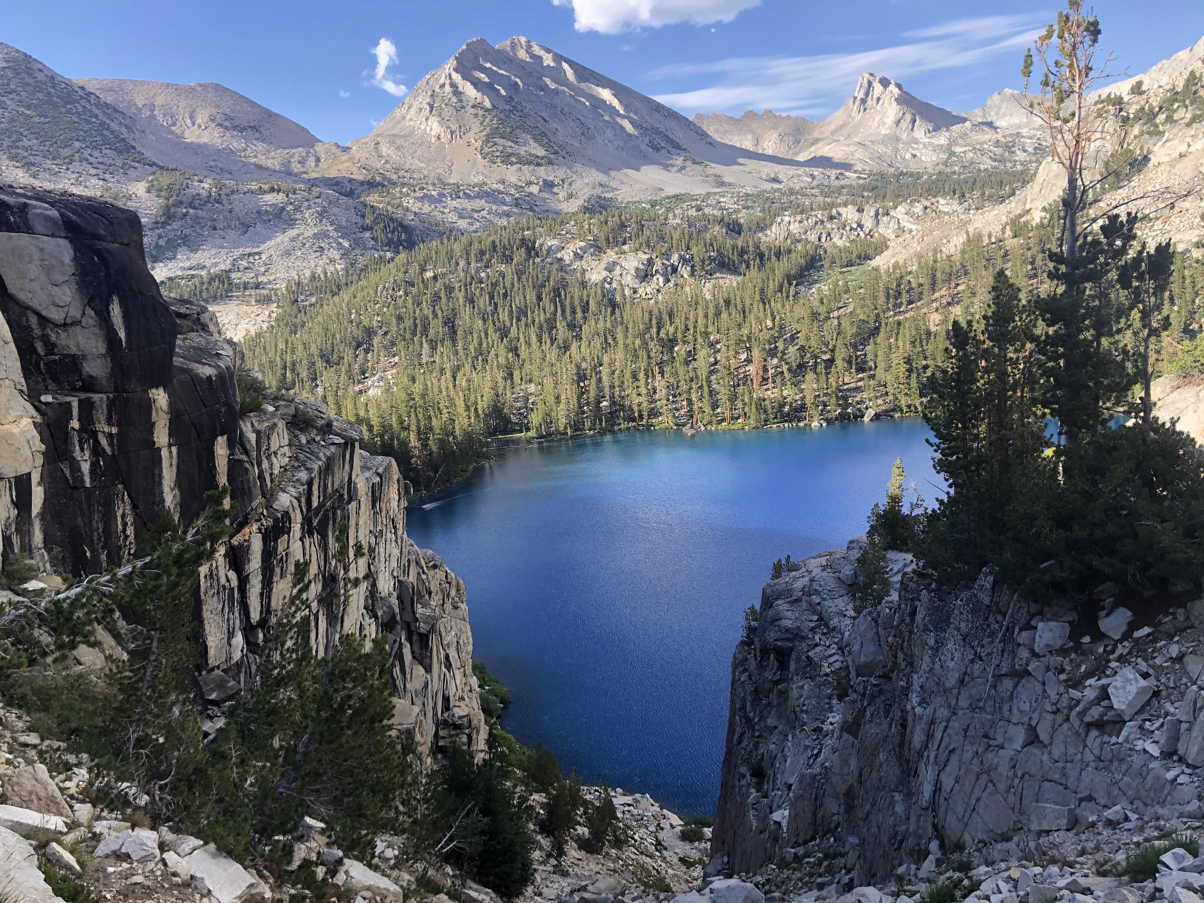
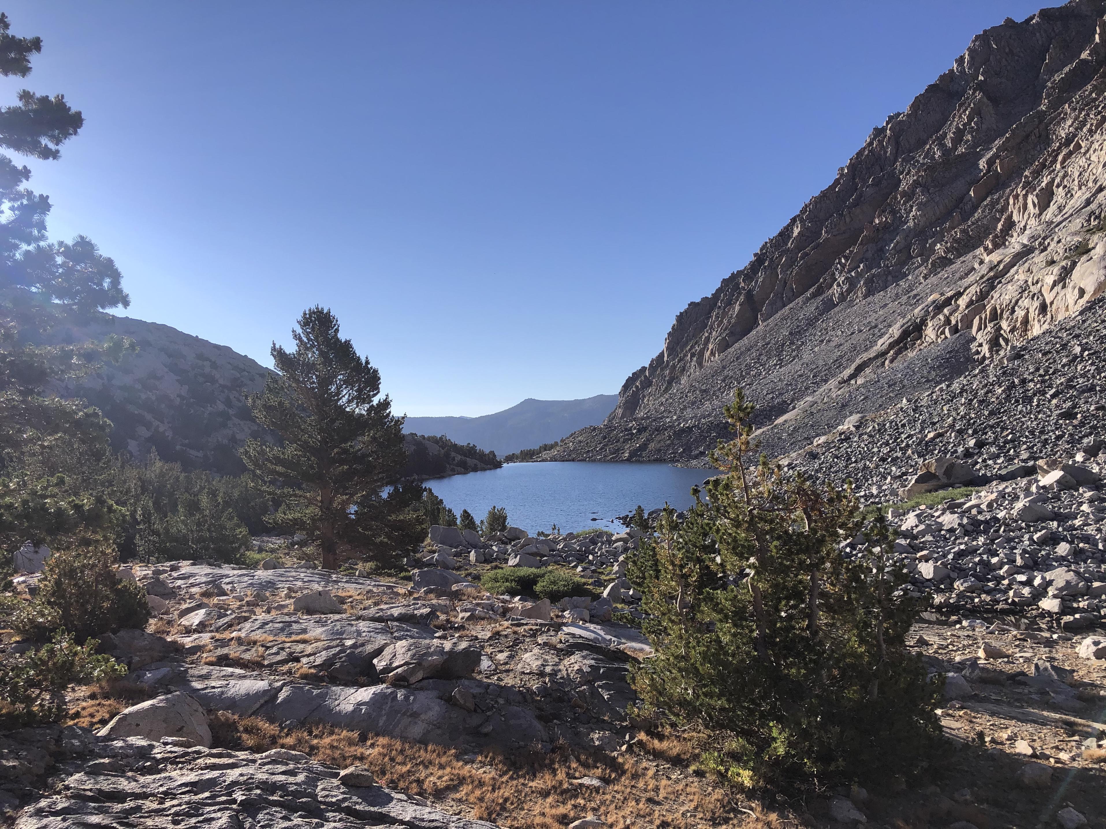
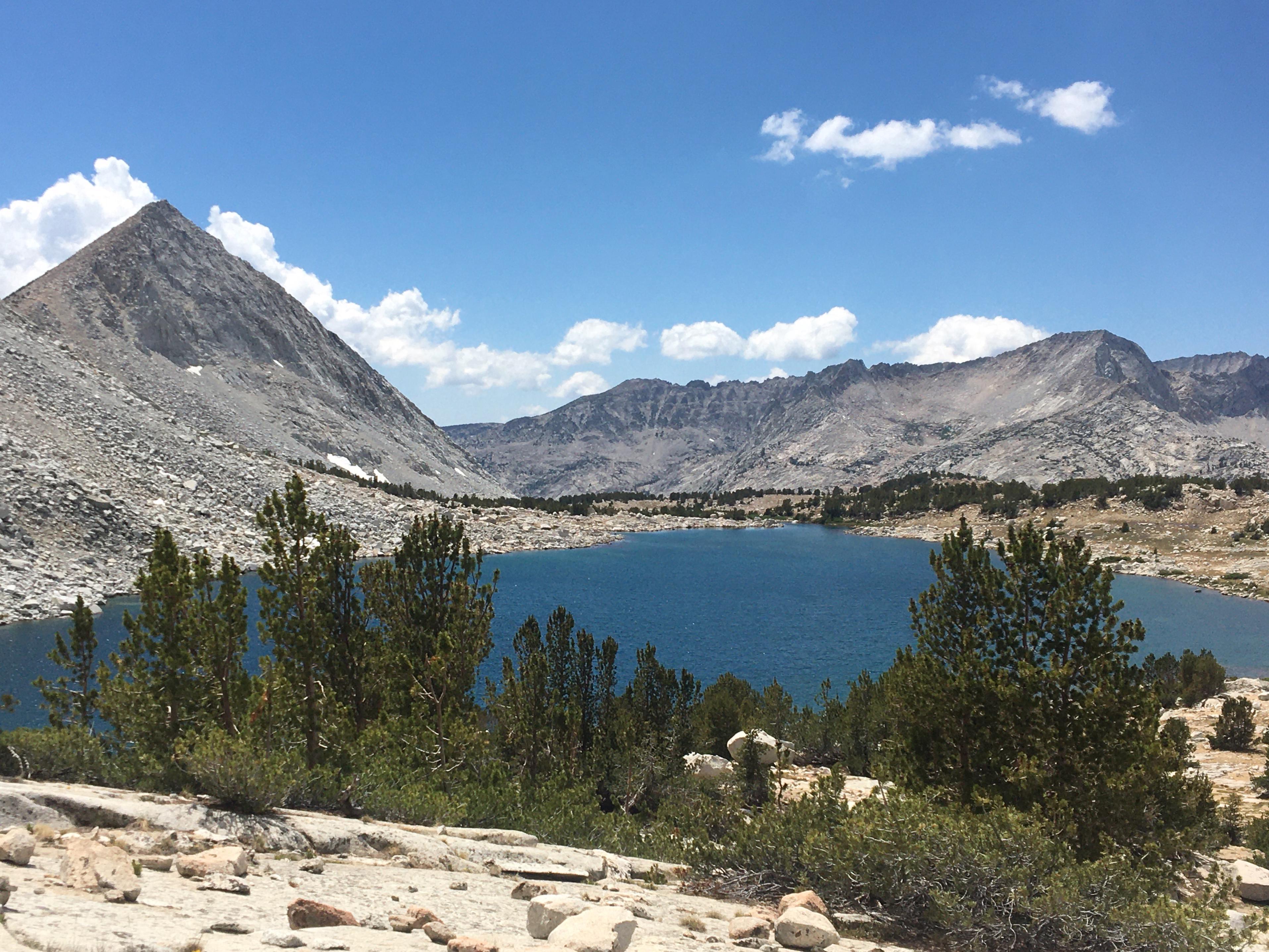
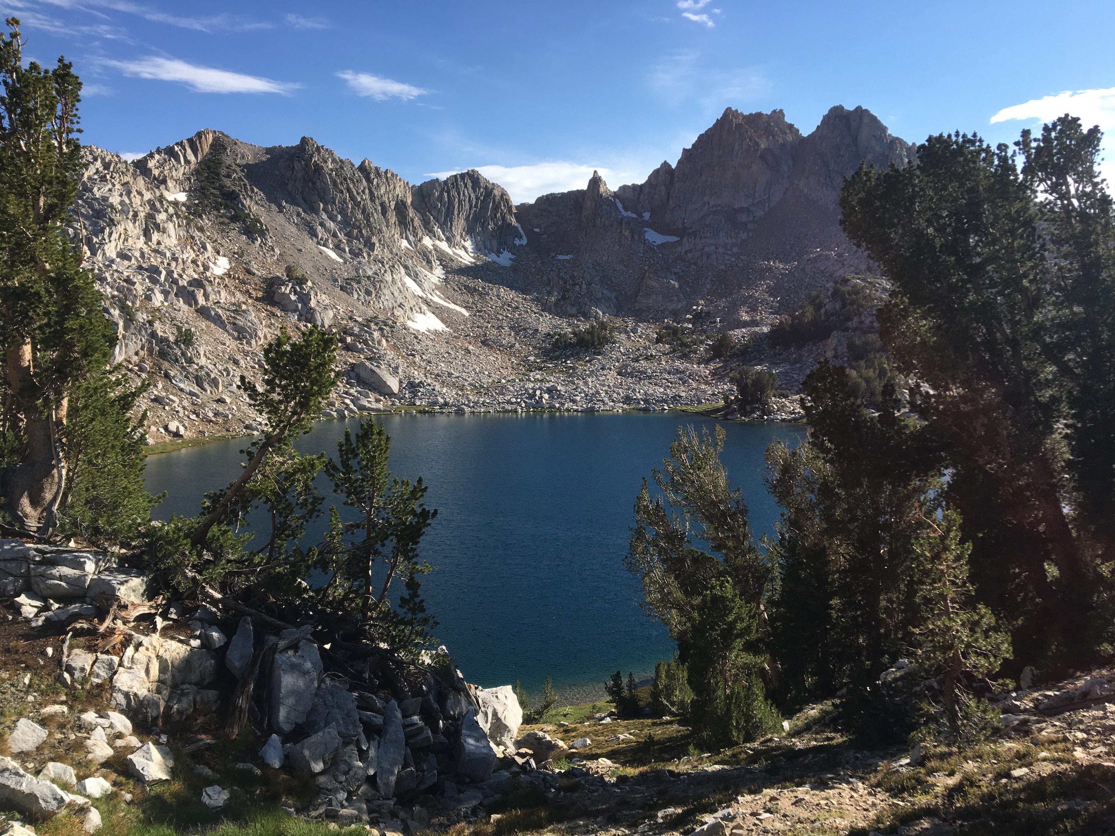
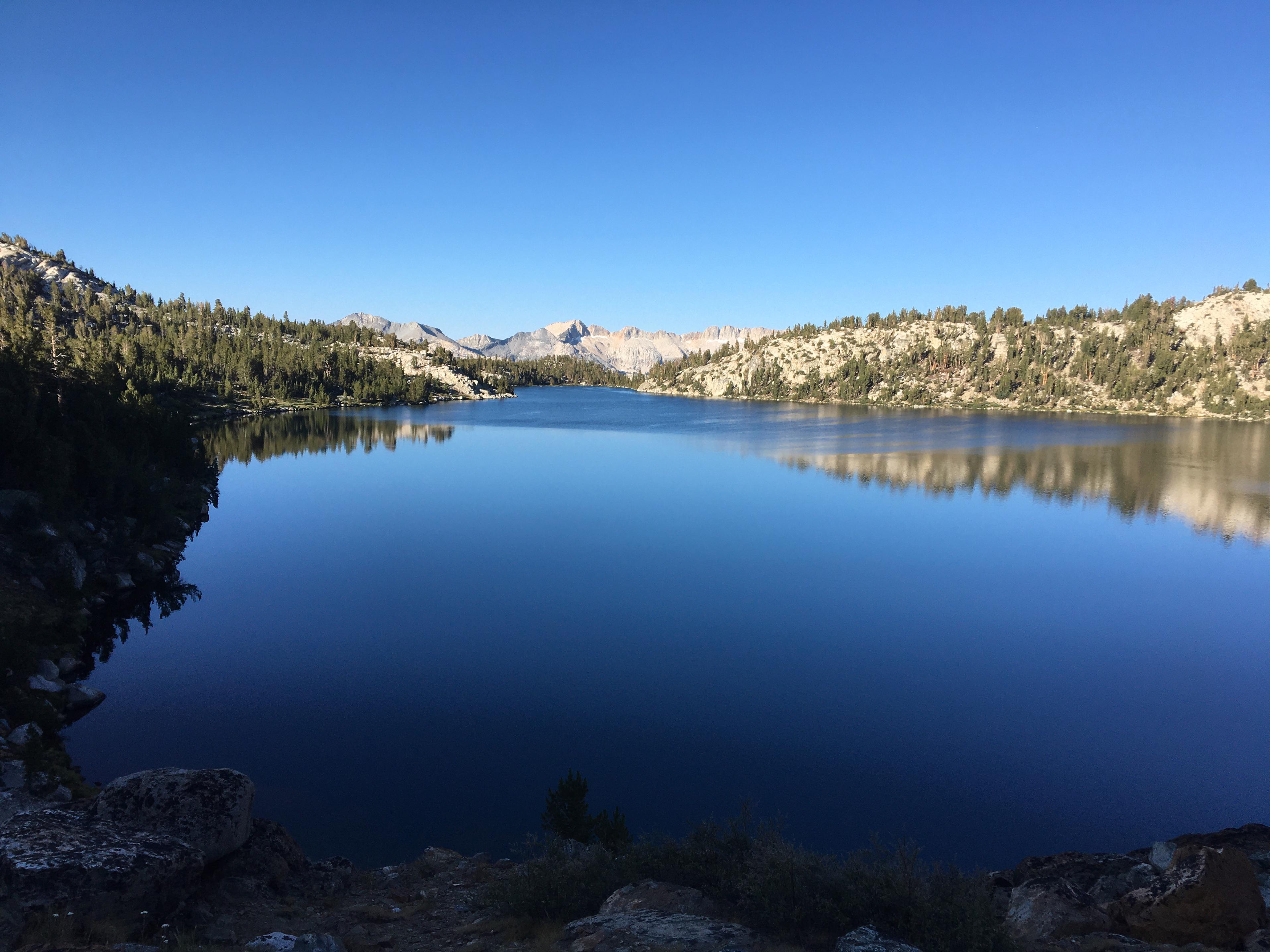
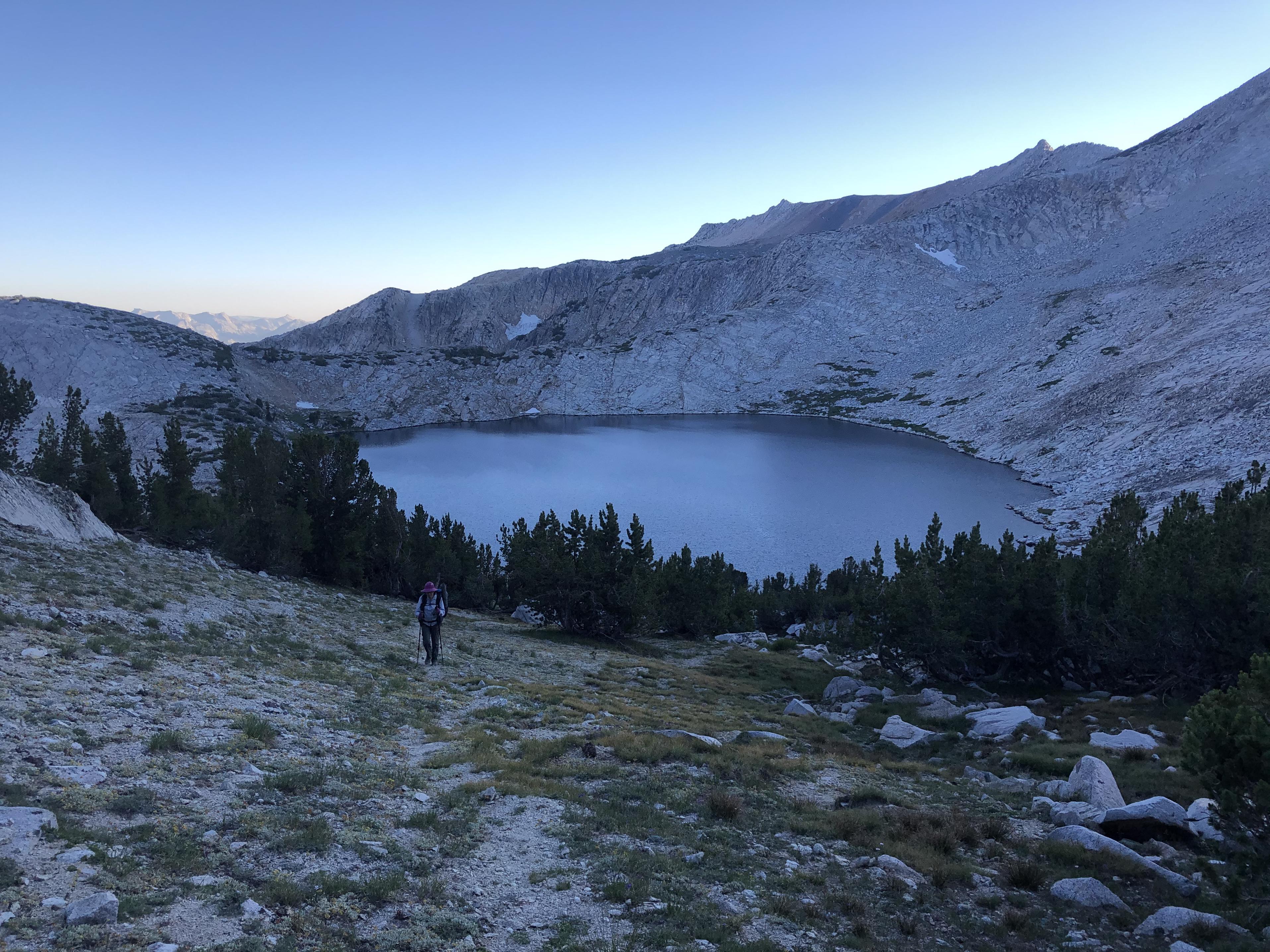
Grouse Lake makes for a fantastic first stop on the Sierra High Route. This time around its dep blue color wasn’t shining through like it did last time.
We took a little swim and continued over Grouse Lake Pass and Goat Crest Saddle to Glacier Lakes.
Gong through Glacier Valley
we arrived at Upper State Lake for the night.
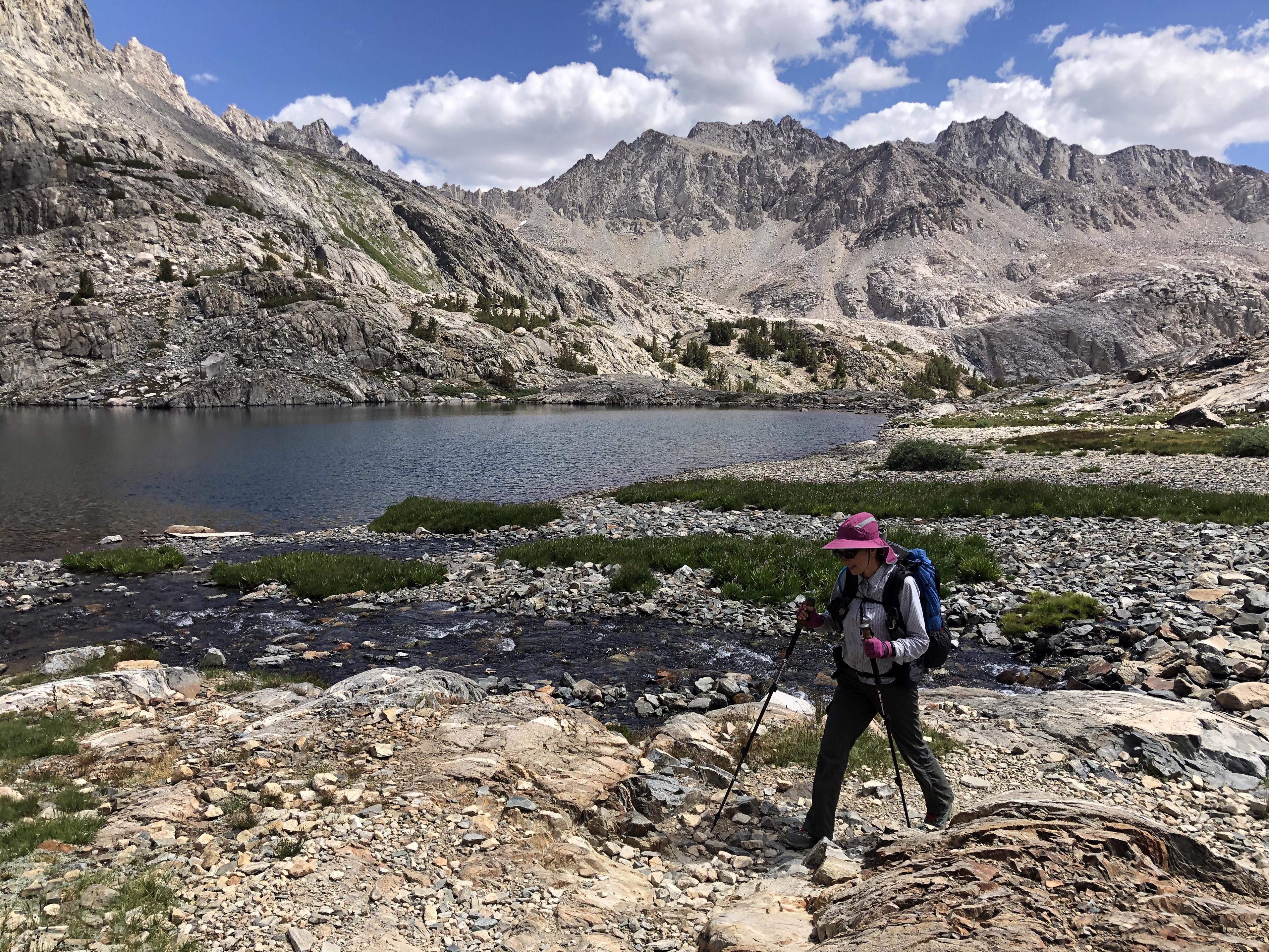
 Day 3: Upper State Lake to Marion Lake
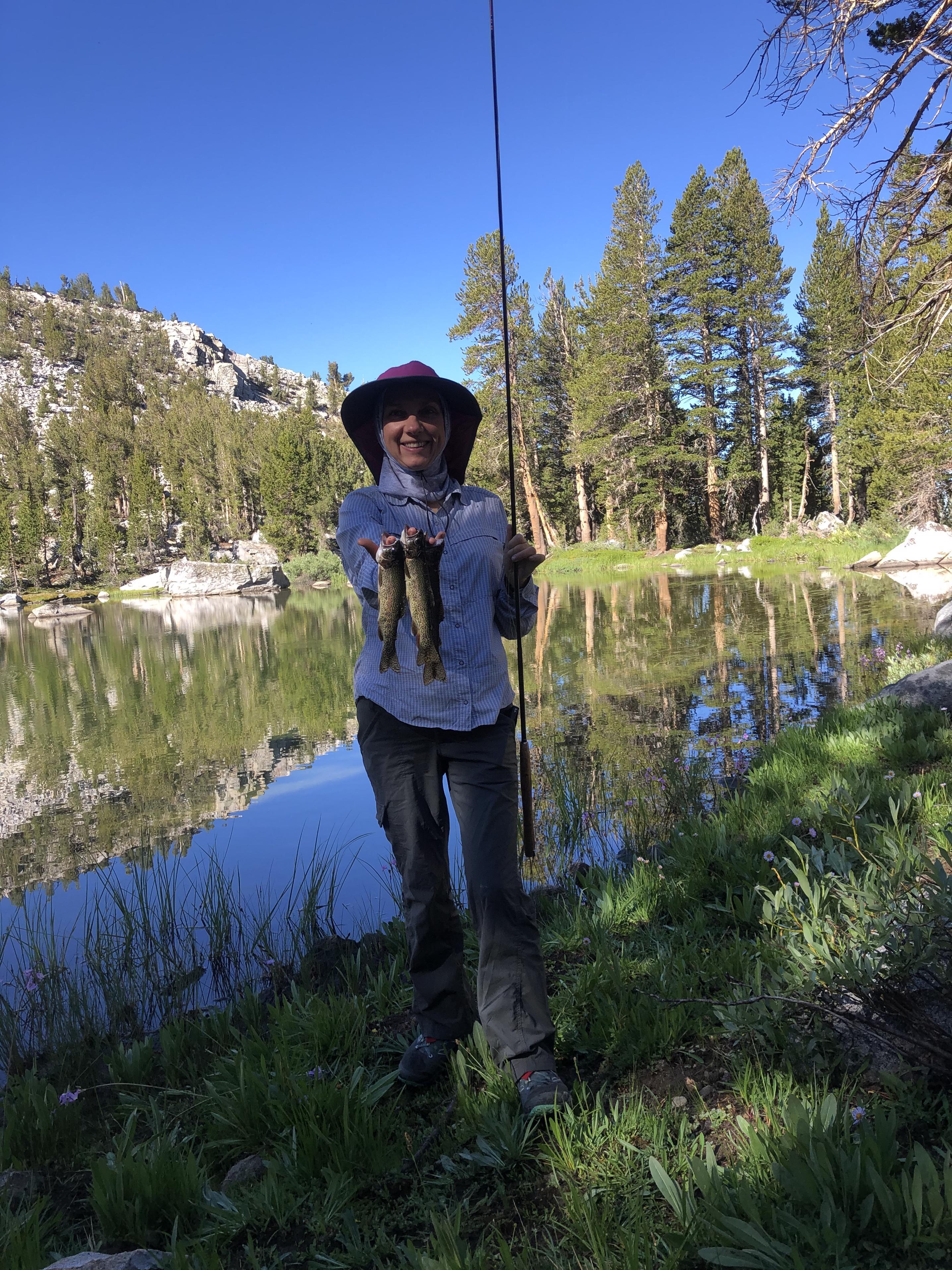
The day before I had provided fresh trout for our lunch. Gela took her turn today and caught fresh trout for us. We would continue to do that through our complete trip.
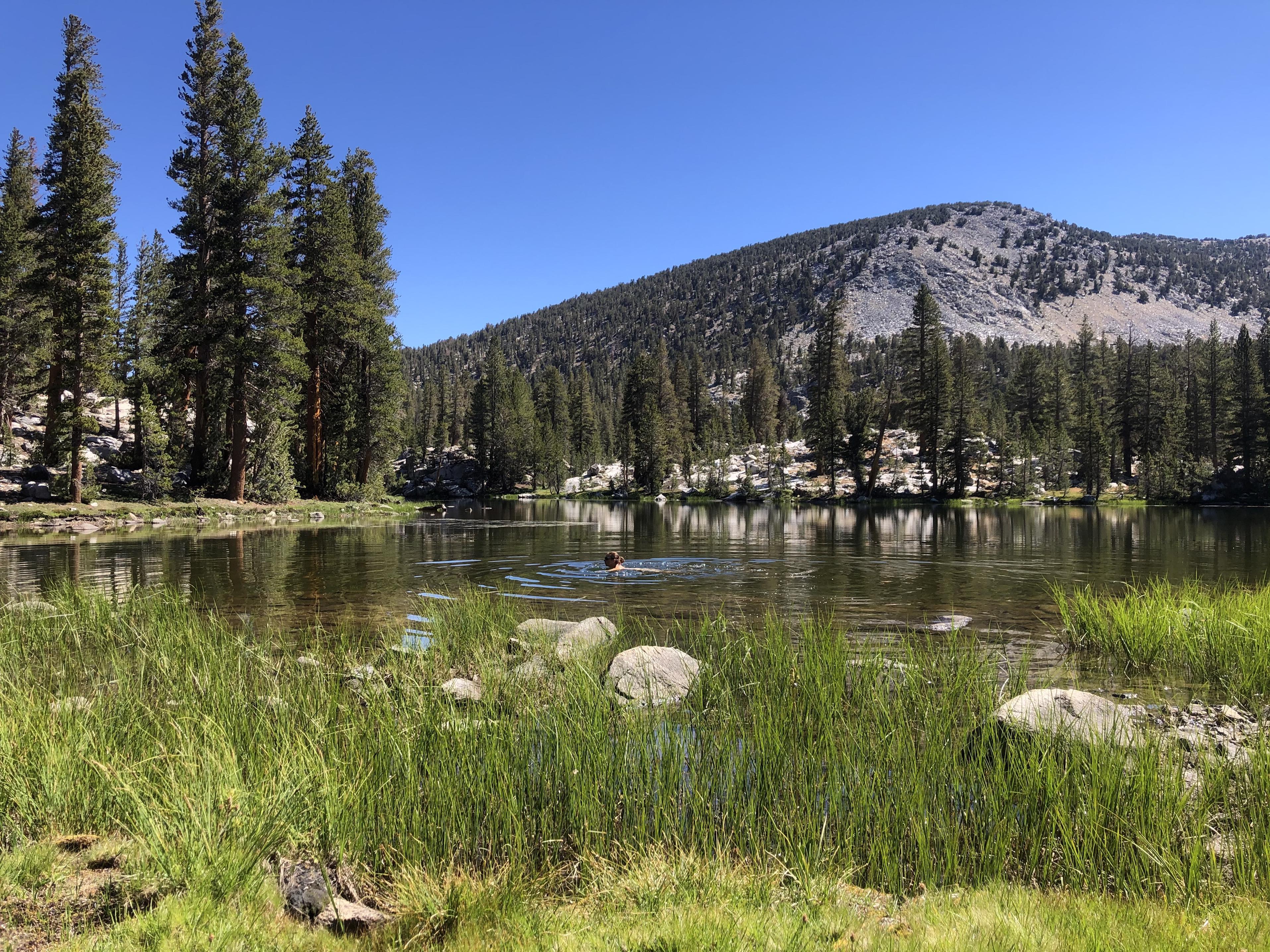
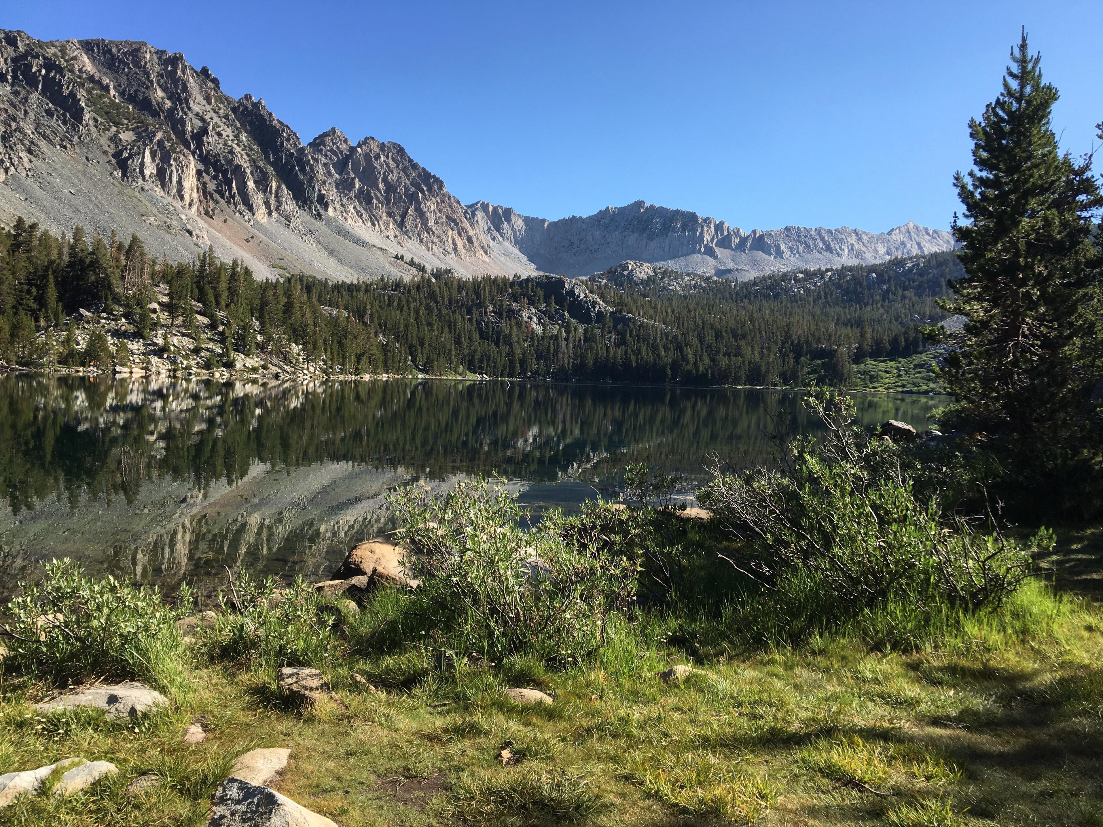
We swam at the Horseshoe Lake
before going over Windy Ridge and Gray Pass to Cartridge Creek from where we climbed
over White Pass and Red Pass before descending to Marion Lake for the night.
 Day 4: Marion Lake to Lower Palisade Lake
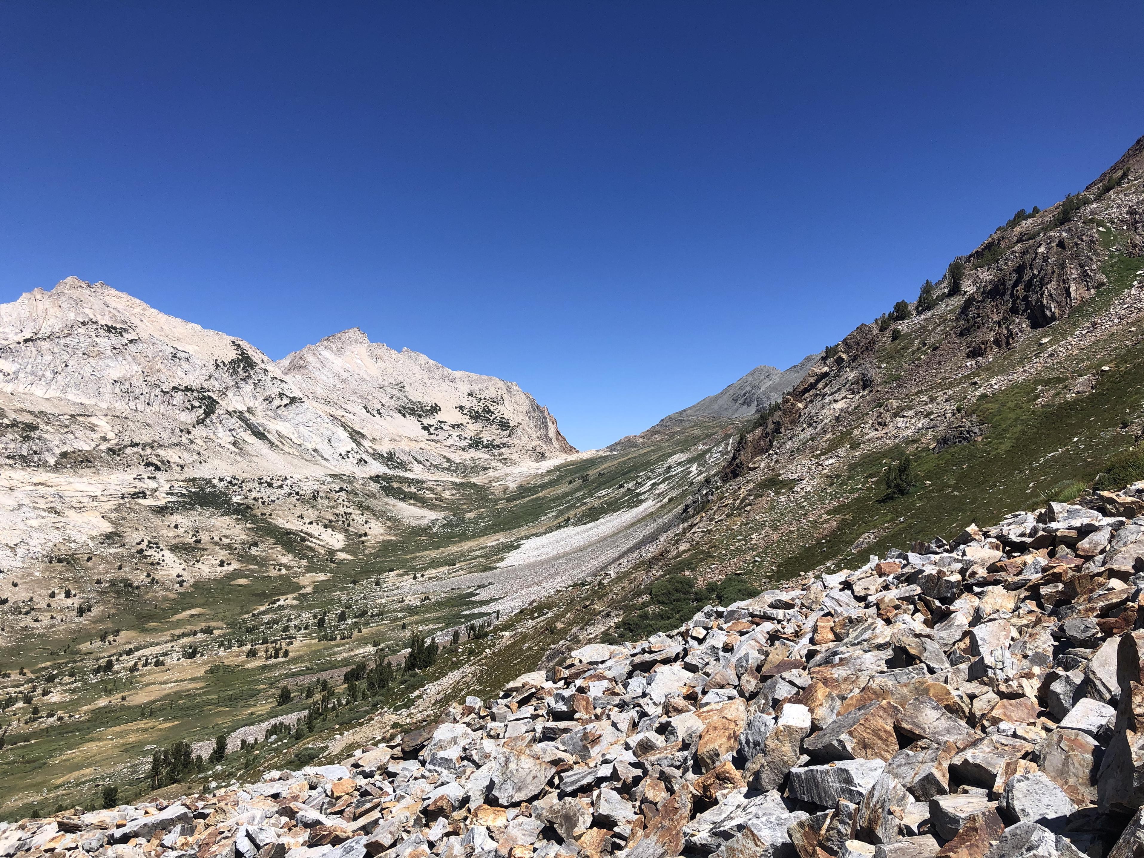
From Marion Lake we walked through the beautiful Lake Basin that always screams at me to come back and fish every single lake. One day …
Passing several lakes without fishing,
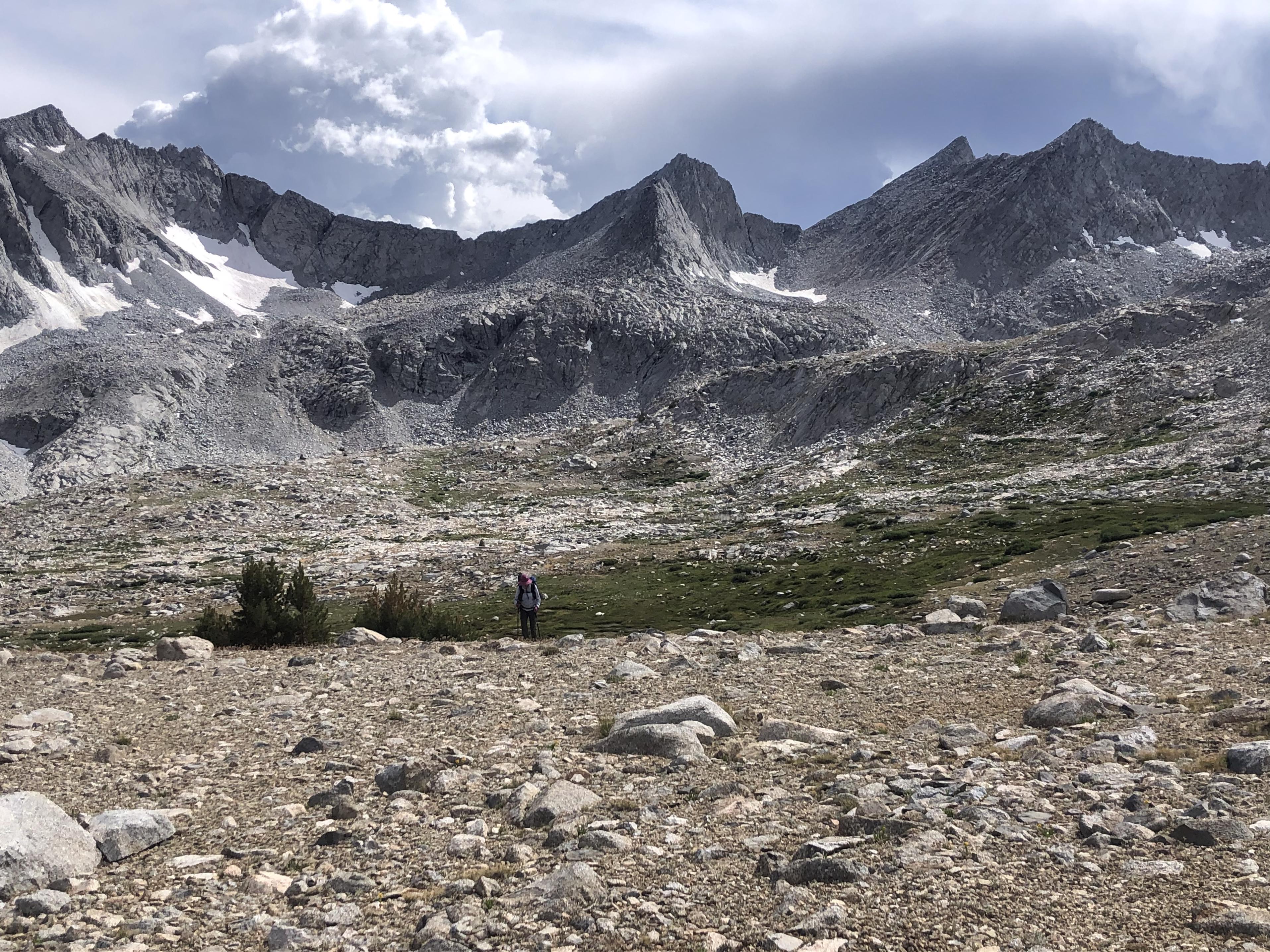
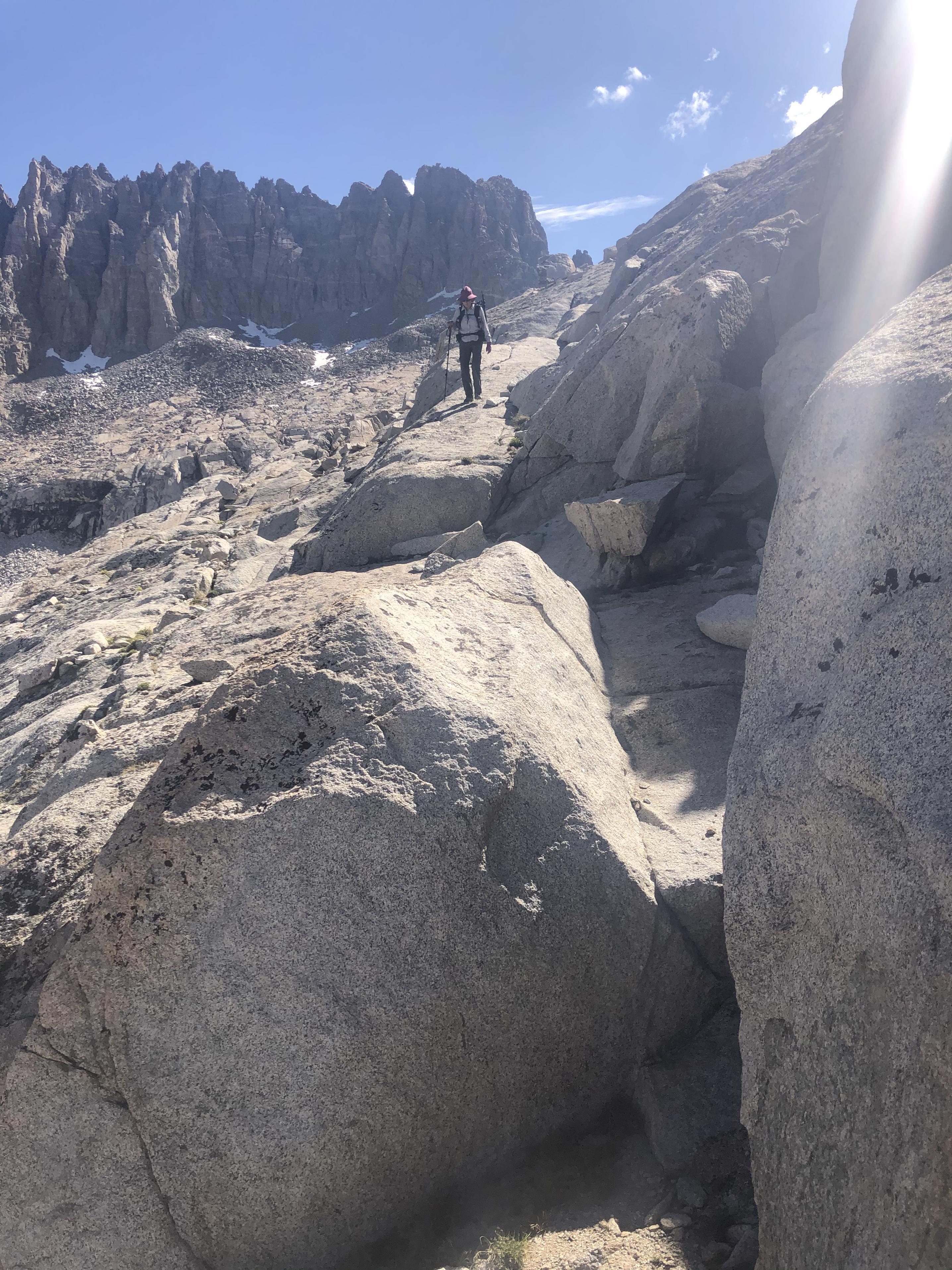
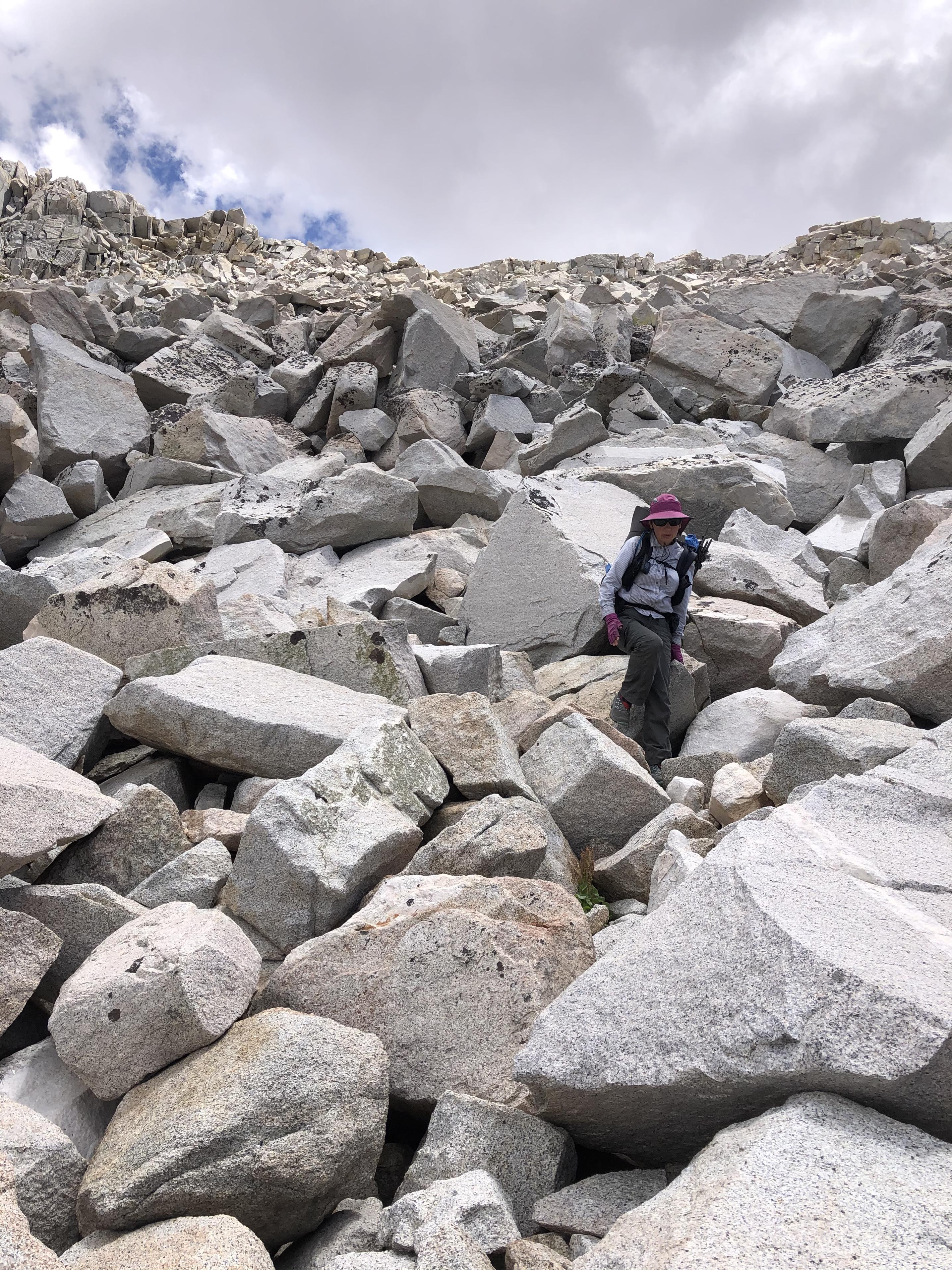
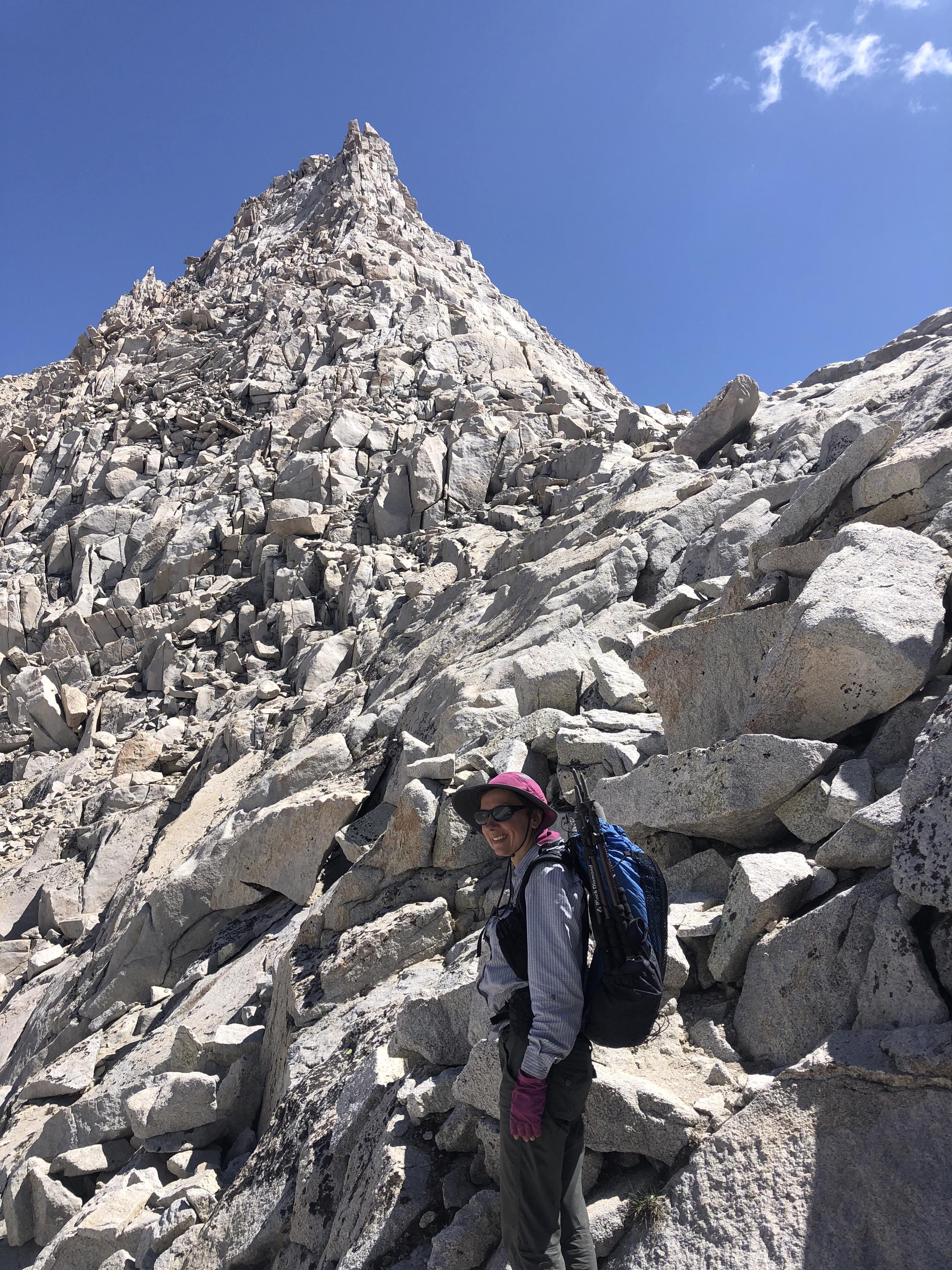
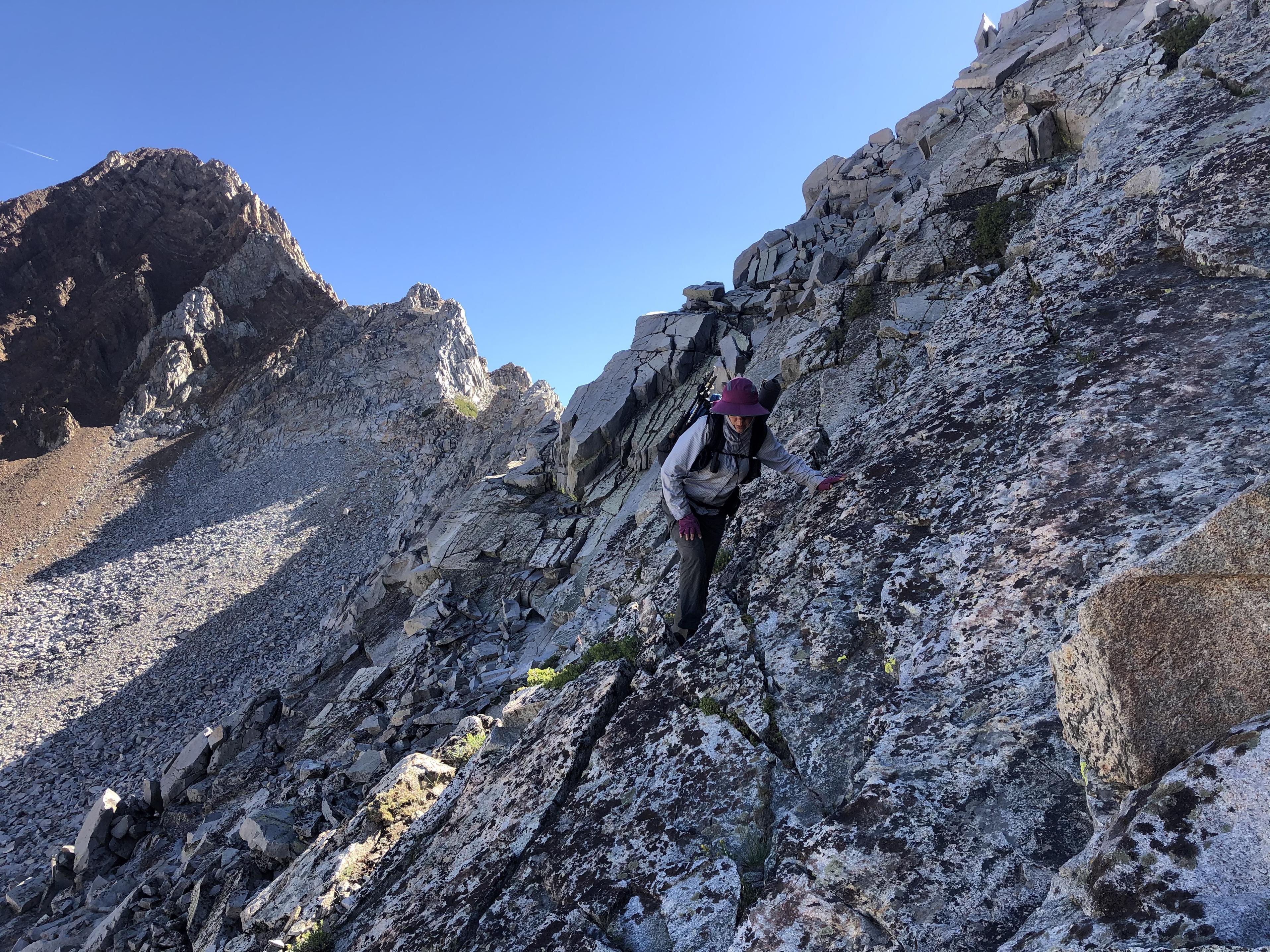
brought us closer to Frozen Lake Pass. This would be our first time of going through extensive talus
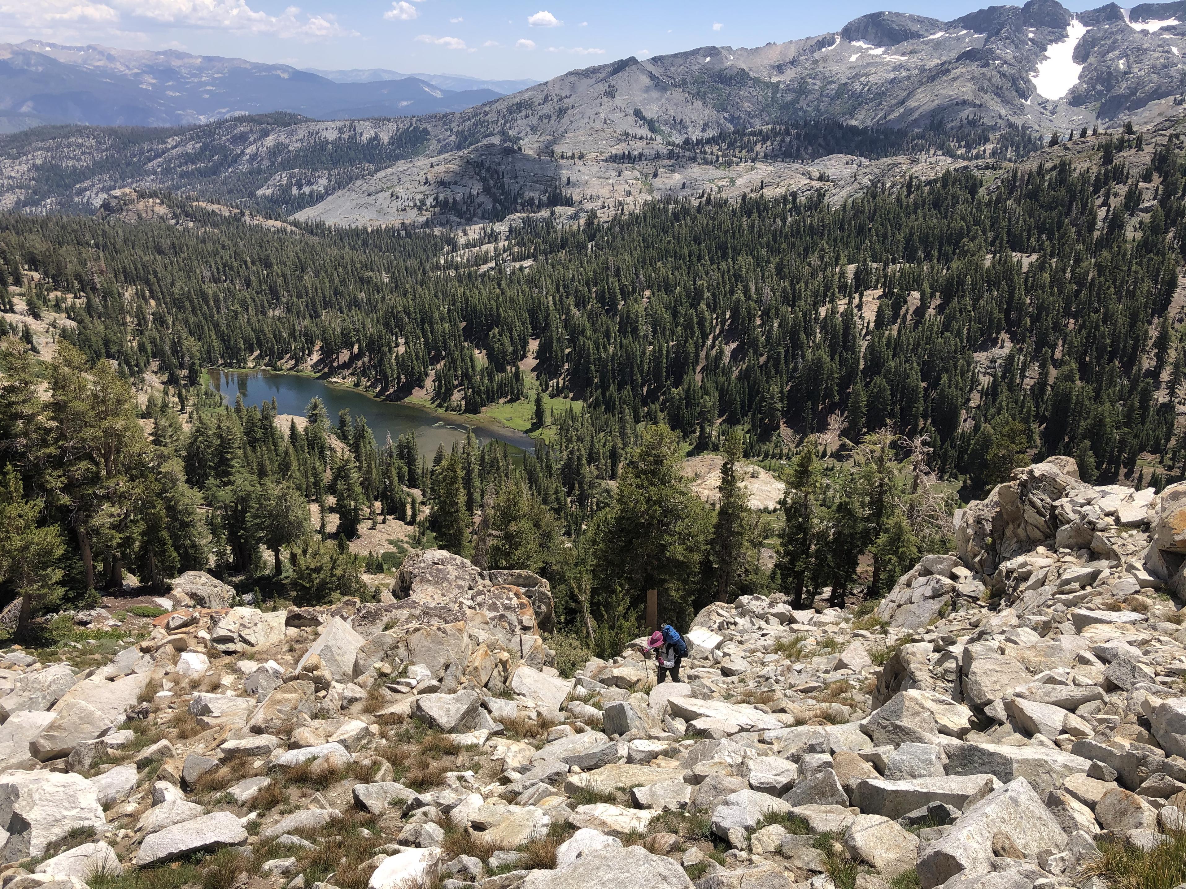
Standing on top Gela couldn’t believe that we went up here.
Once she started descending on the other side, Gela was asking herself whether this trip is really for her. At 5’2” she had a hard time with the talus.
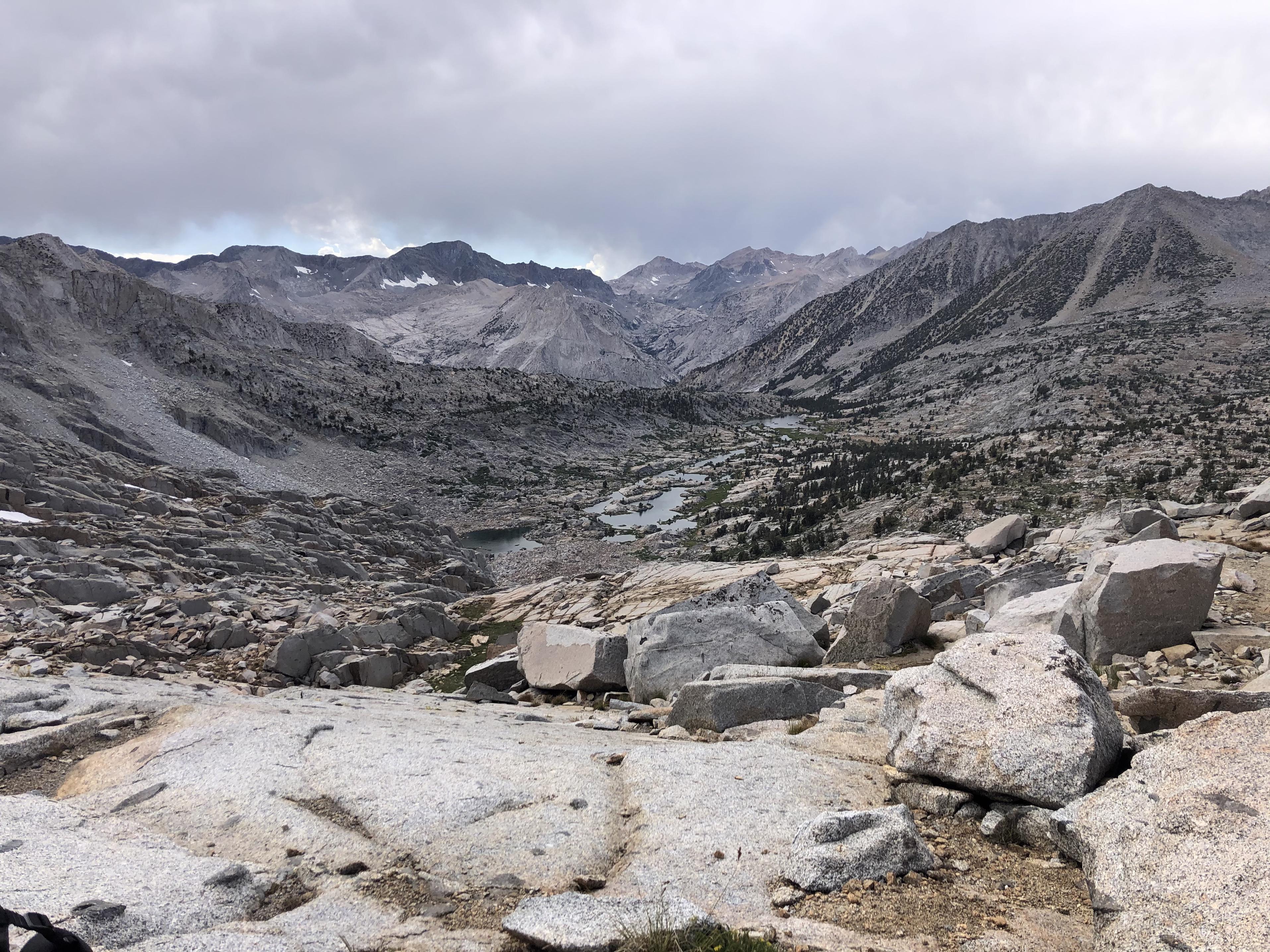
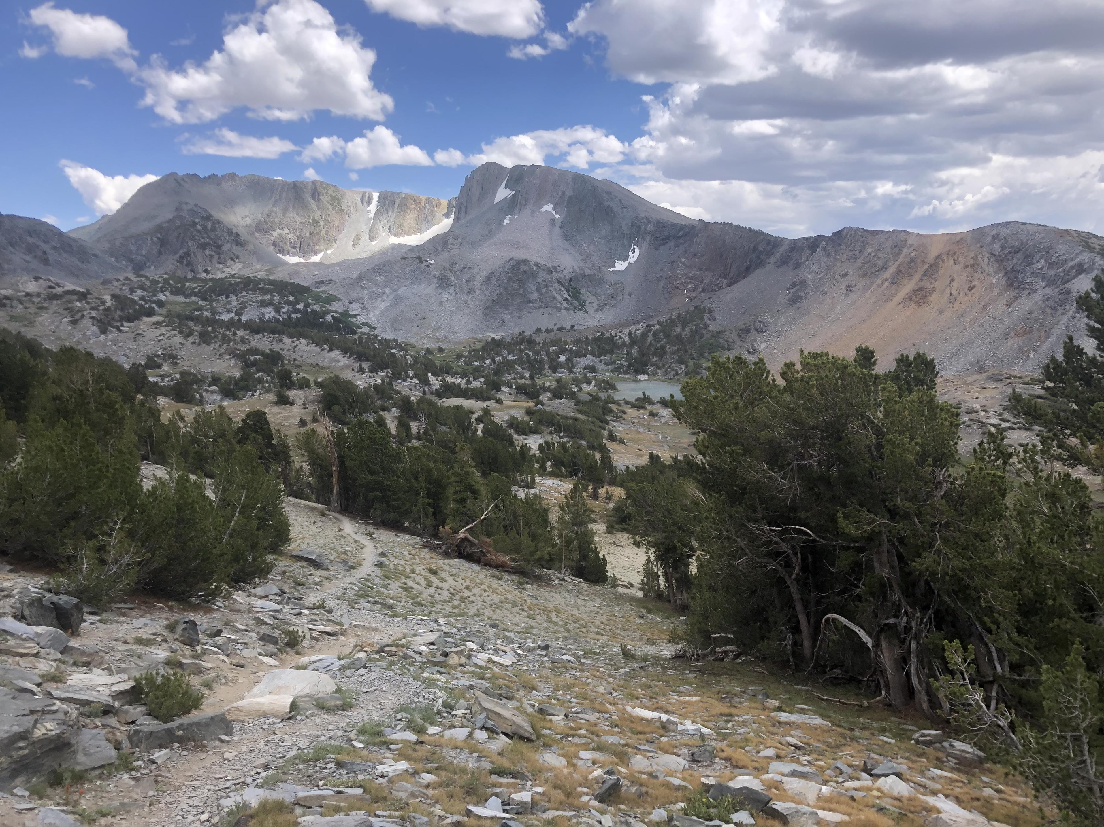
We descended safely down to the Upper Basin
where we found this interesting rock … and life was good again 😊
Looking back at Frozen Lake Pass
we hiked quickly on the JMT up to Mather Pass for a well-deserved break
before going down to the Palisade Lakes.
 Day 5: Lower Palisade Lake to LeConte Canyon
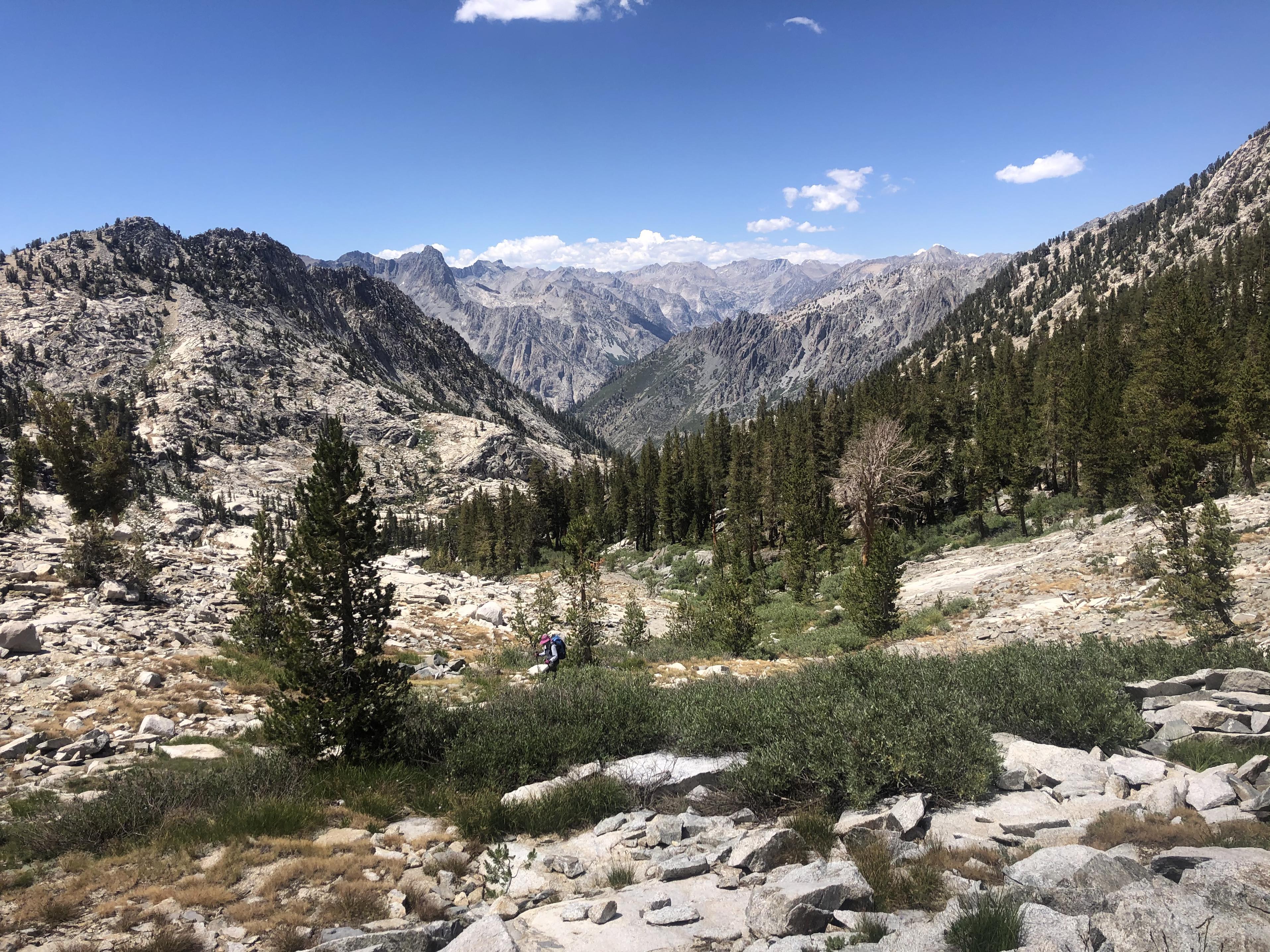
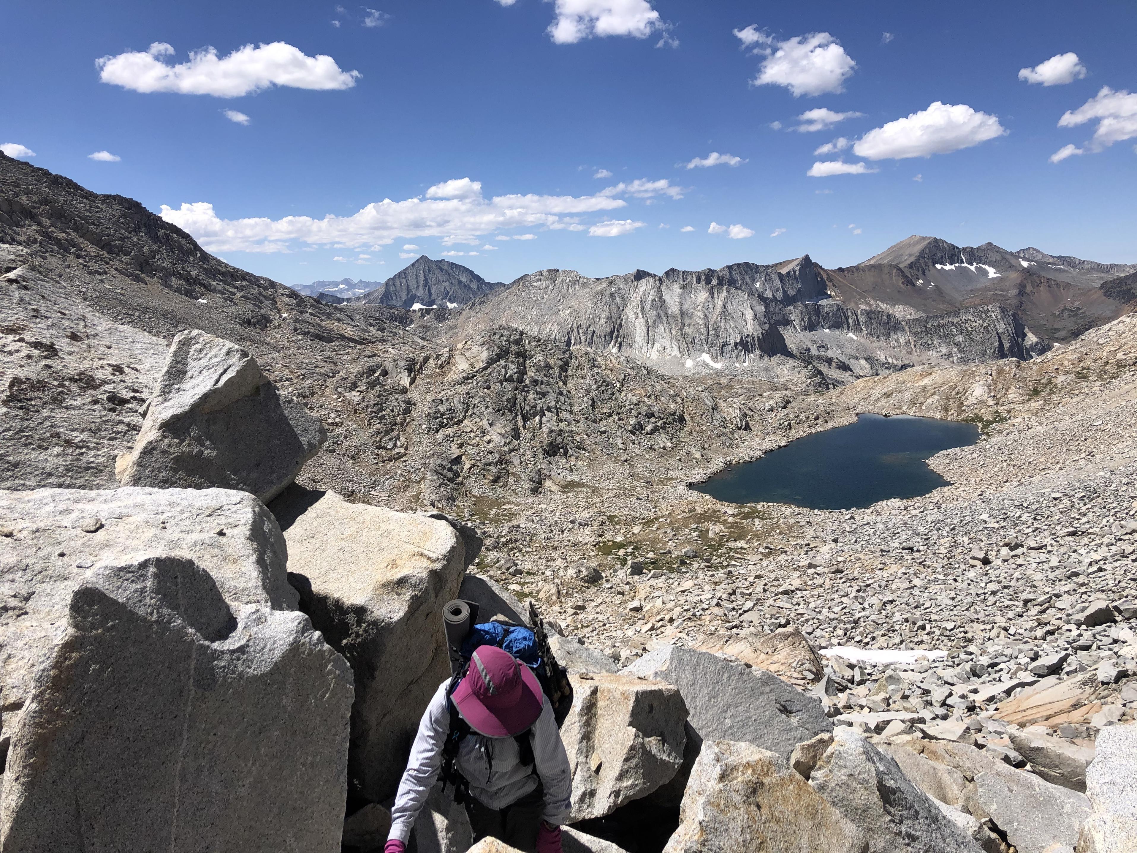
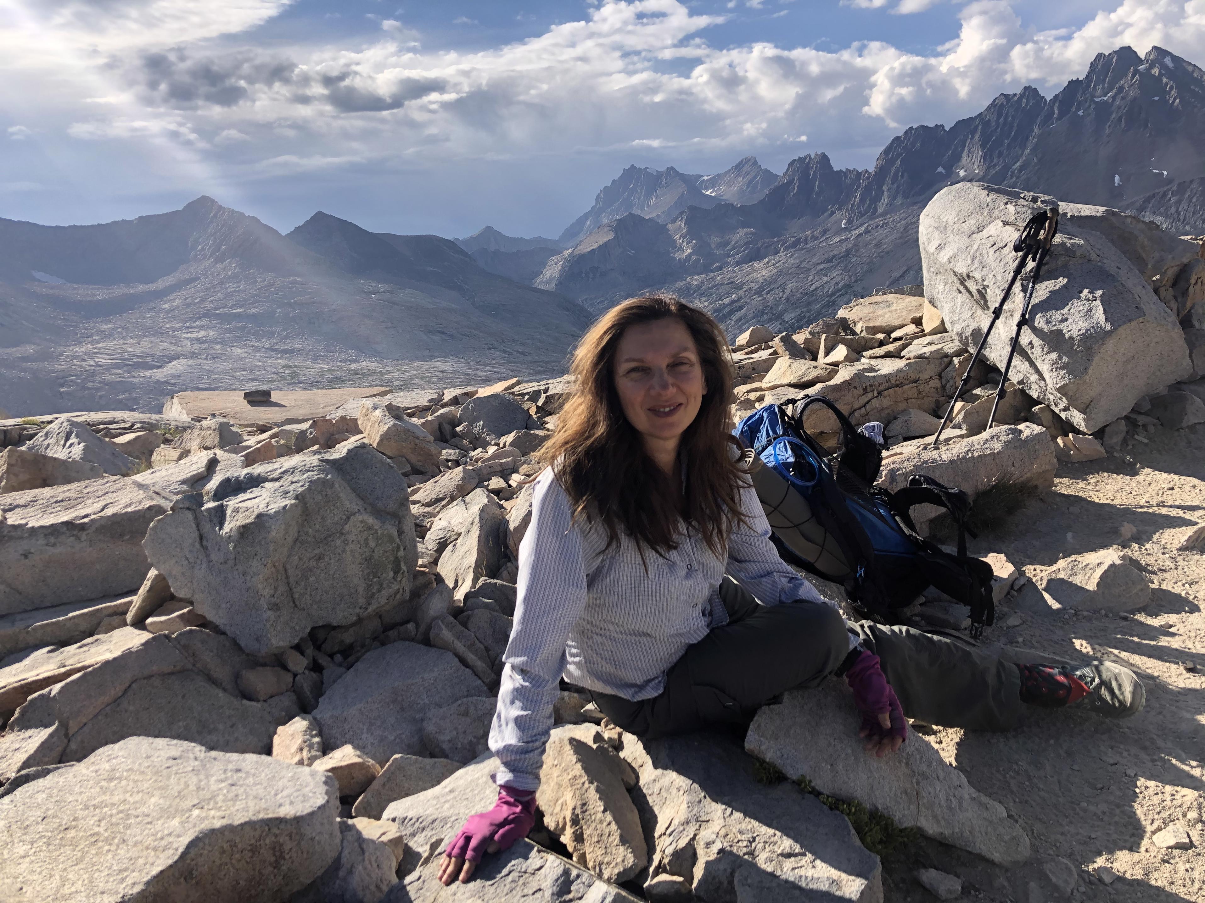
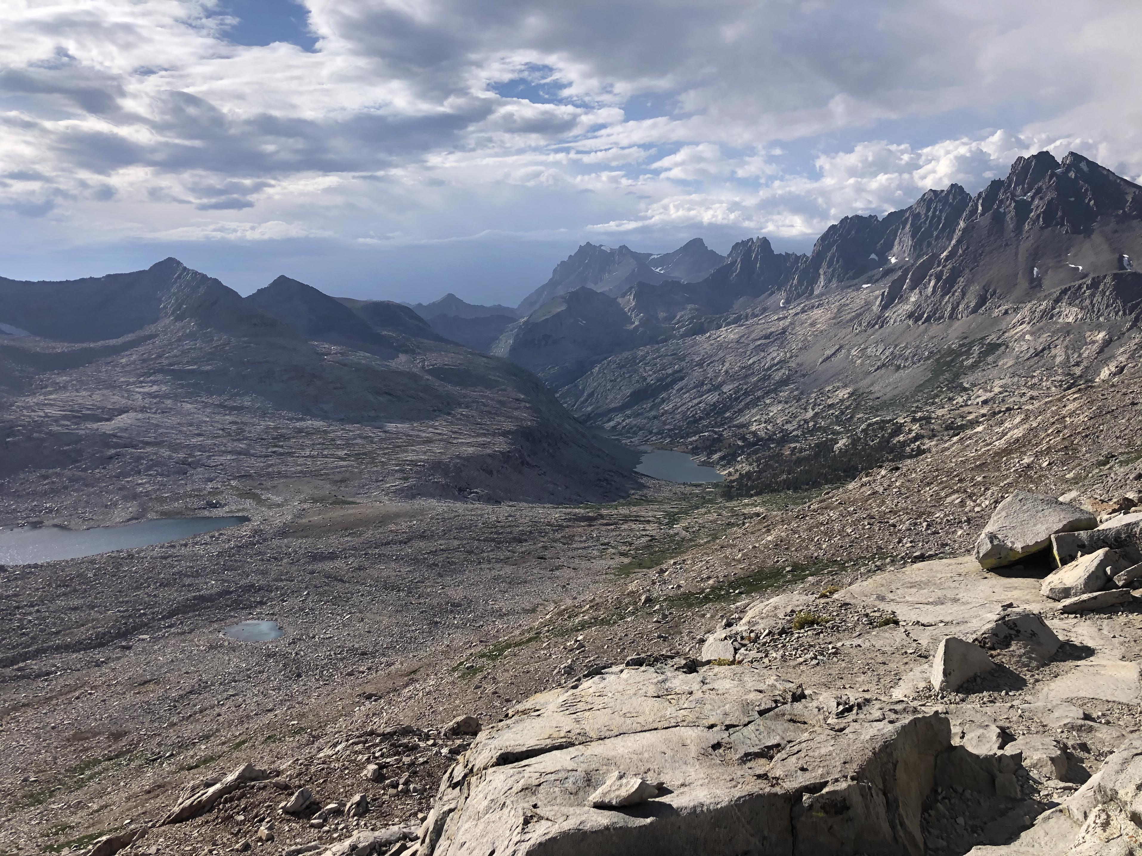
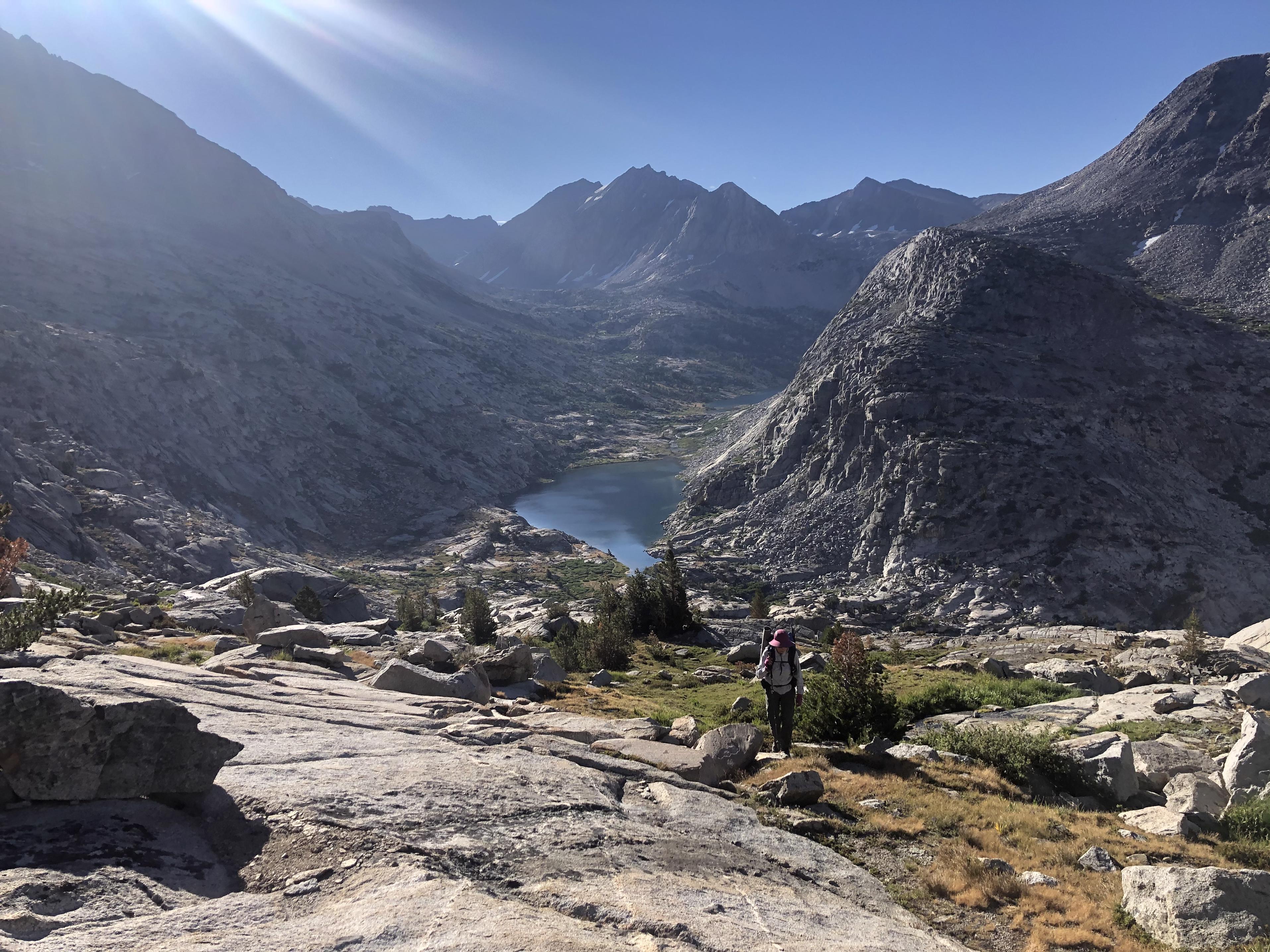
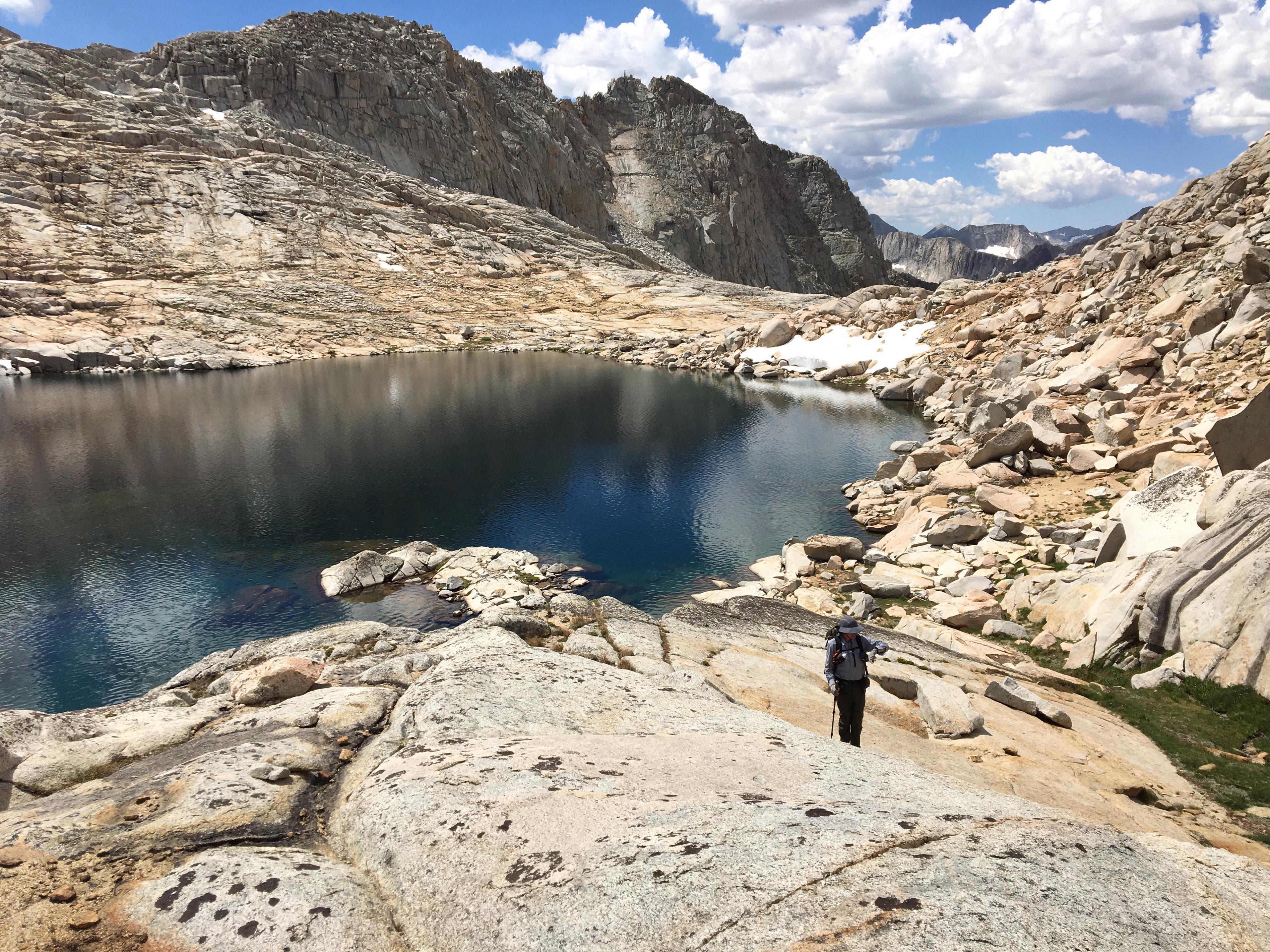
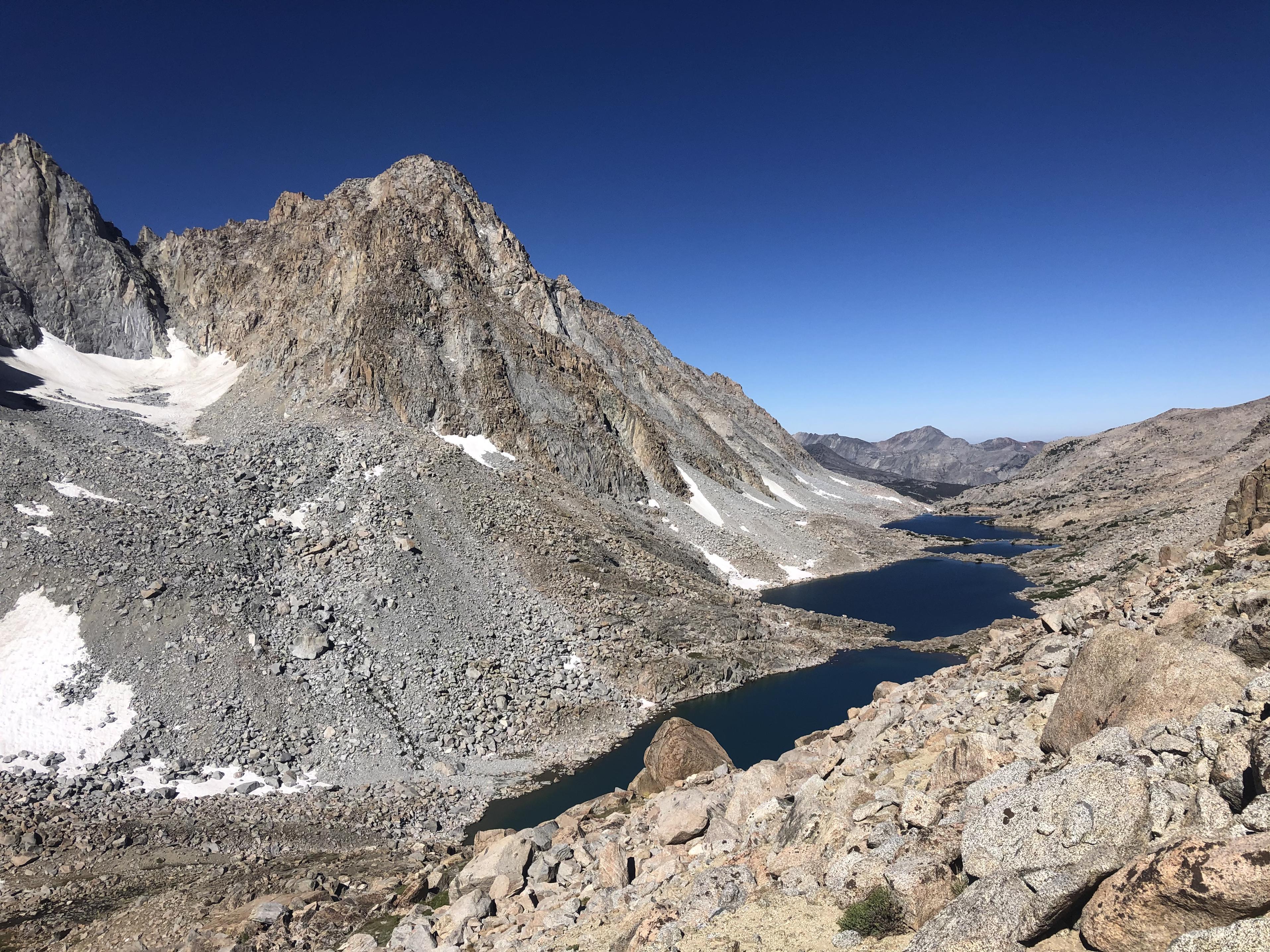
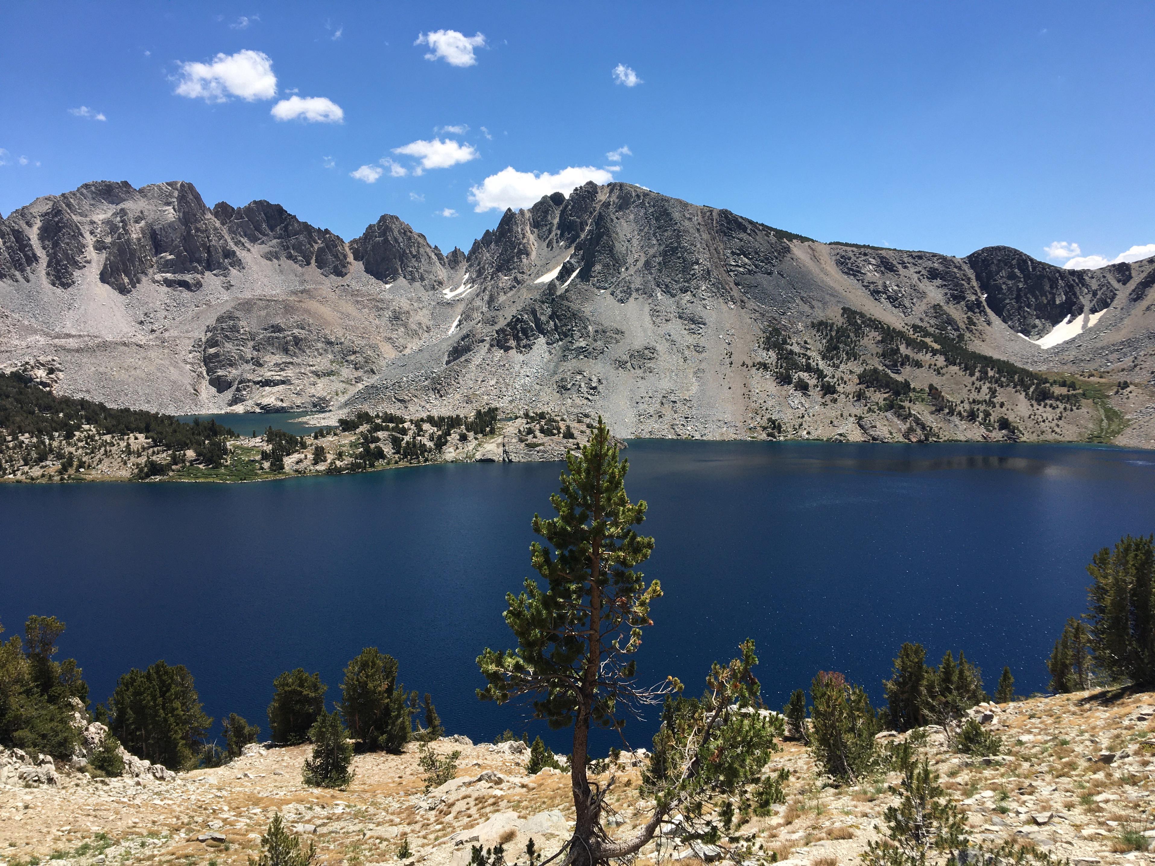
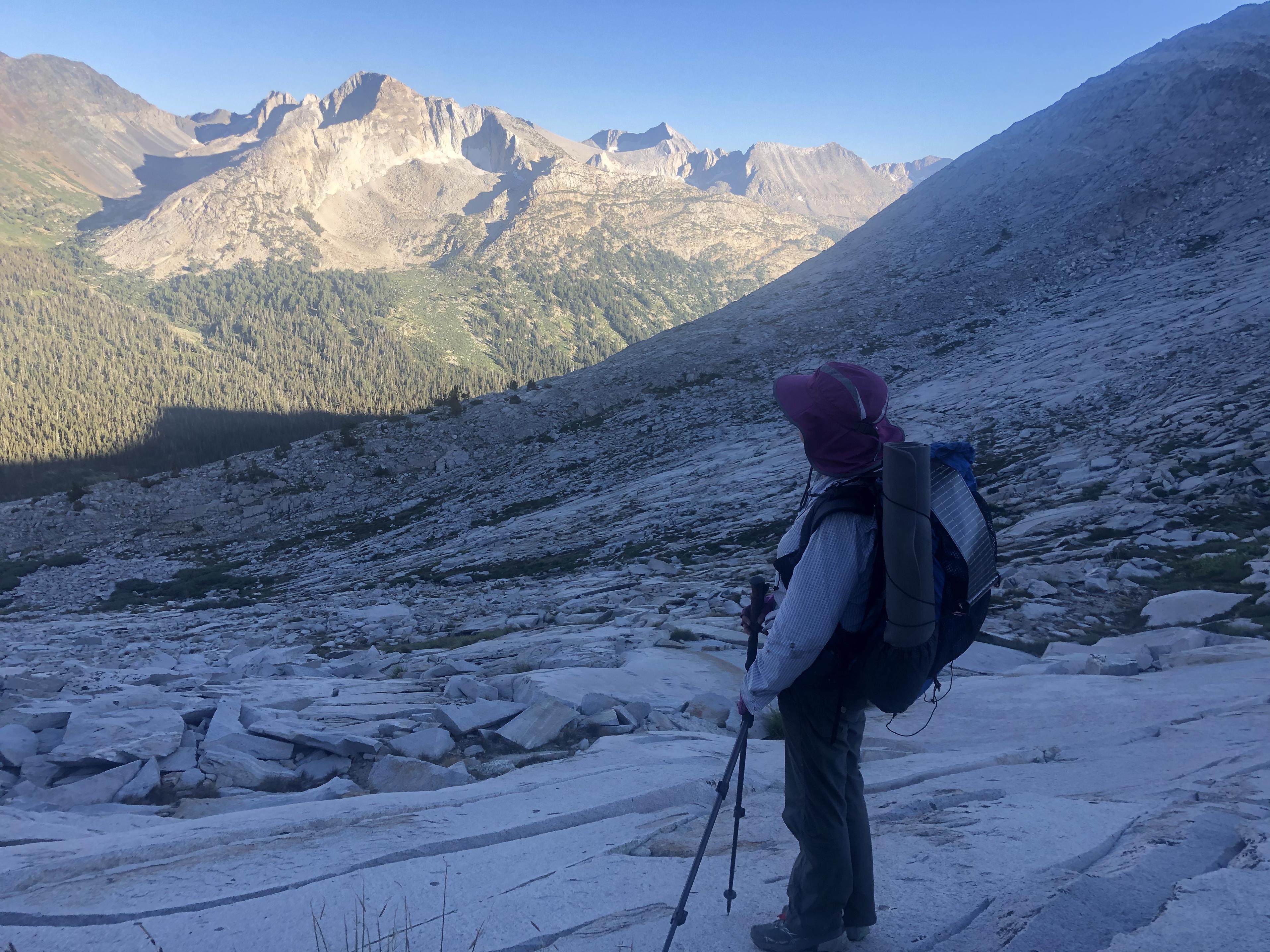
Climbing up to Cirque Pass was a pleasure – especially with the fantastic views back to Lower Palisade Lake.
Going down into Cirque Basin
we passed its lake on
our way to Potluck Pass with its gorgeous views
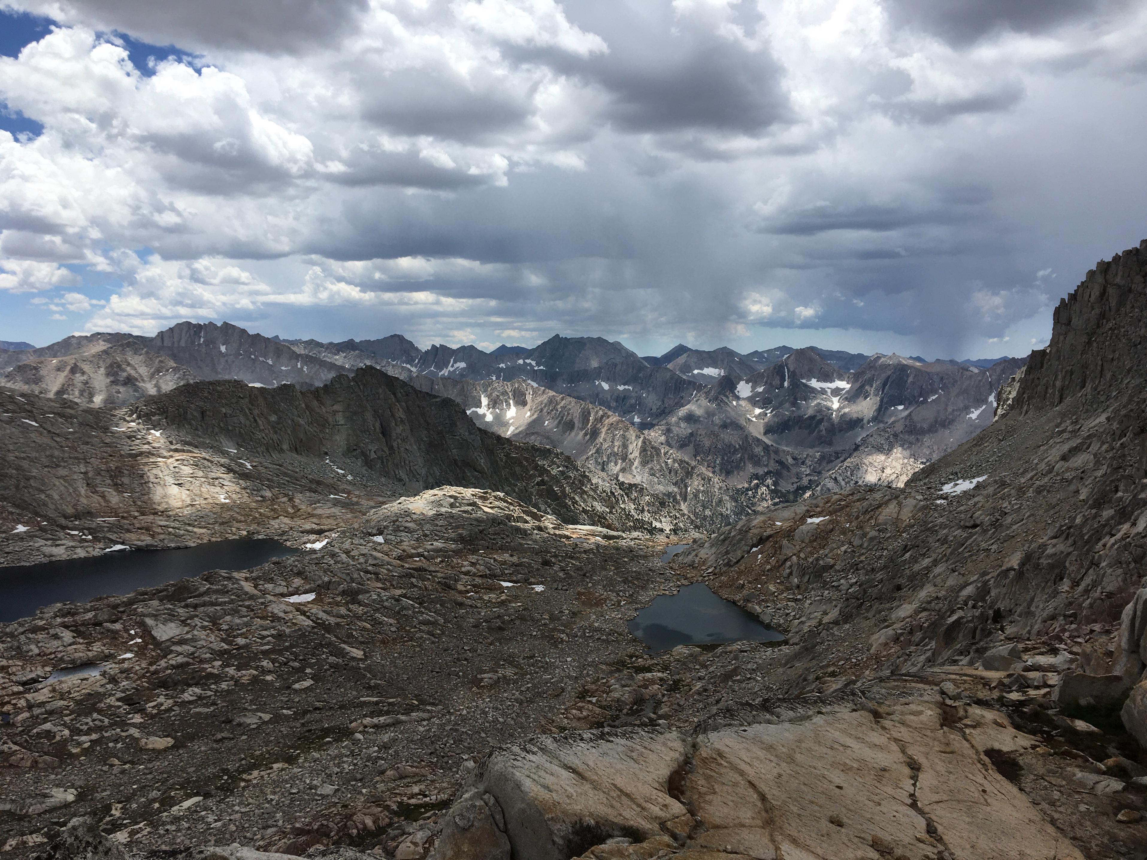
Going through Palisade Basin
we reached Knapsack Pass soon and enjoyed the view of Dusy Basin from there.
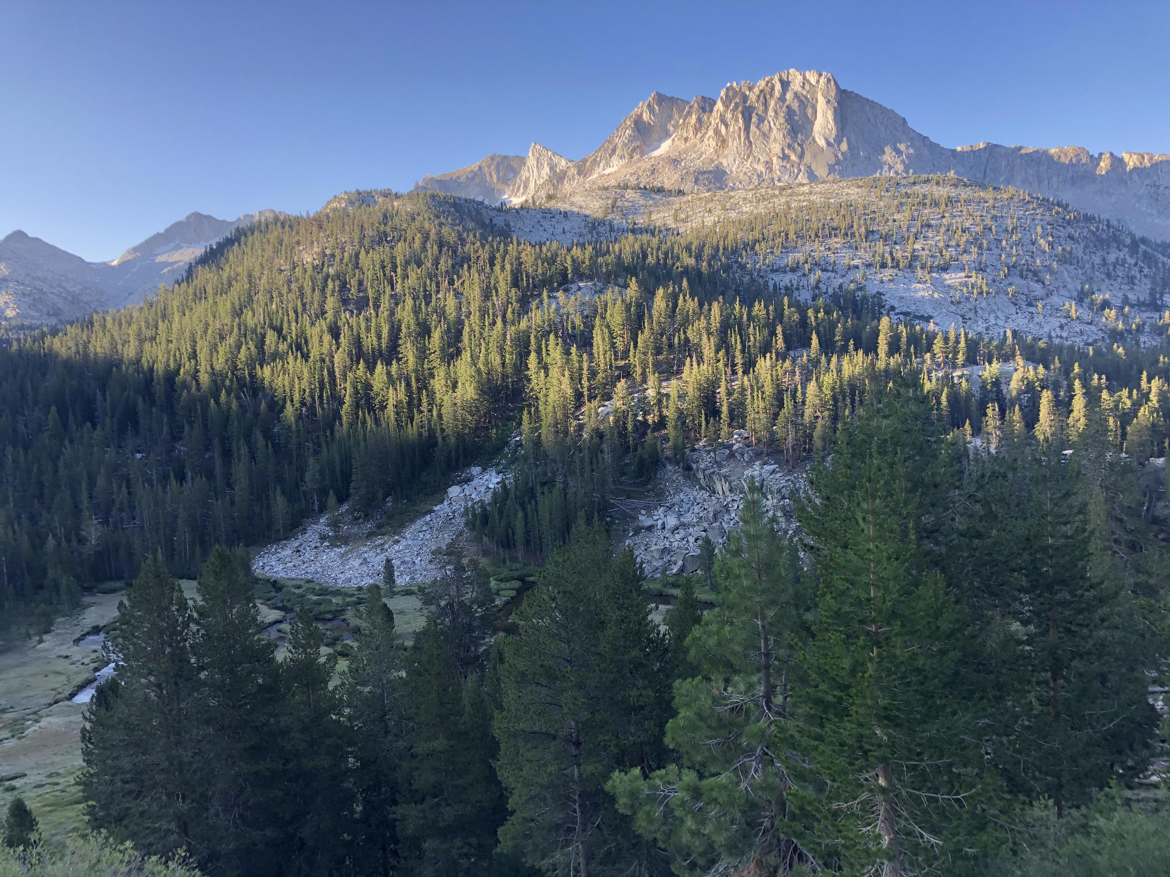
Once we reached the Dusy Branch it was down, down, down from there on the Bishop Pass Trail to LeConte Canyon while having a constant view of Langille Peak.
 Day 6: LeConte Canyon to Darwin Canyon
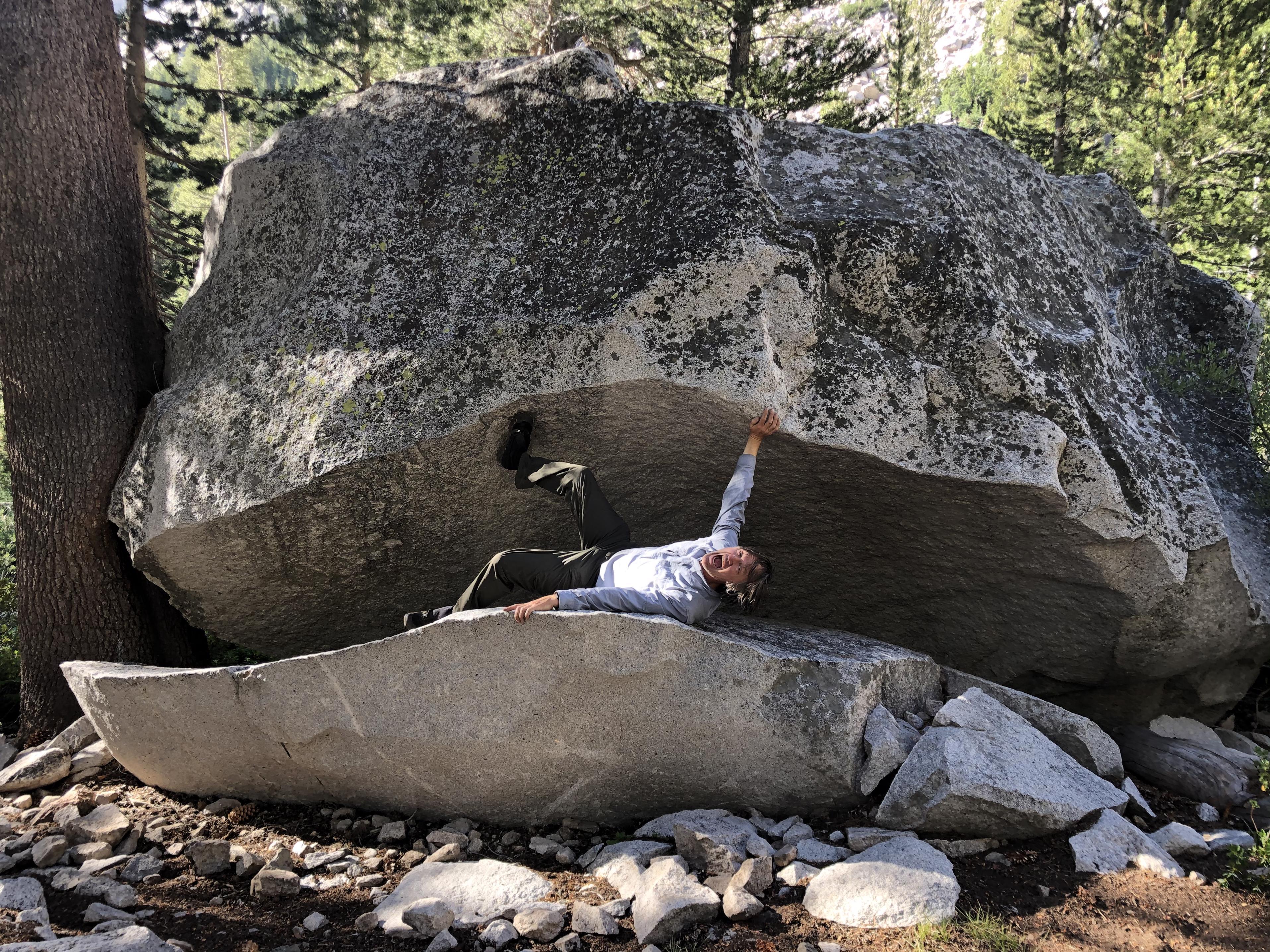
Any hike through LeConte Canyon
has to include a visit to the Rock Monster. As you can see it lost its teeth and eyes over the last couple of years, but it is still extremely hard to escape it 😊
Passing Helen Lake
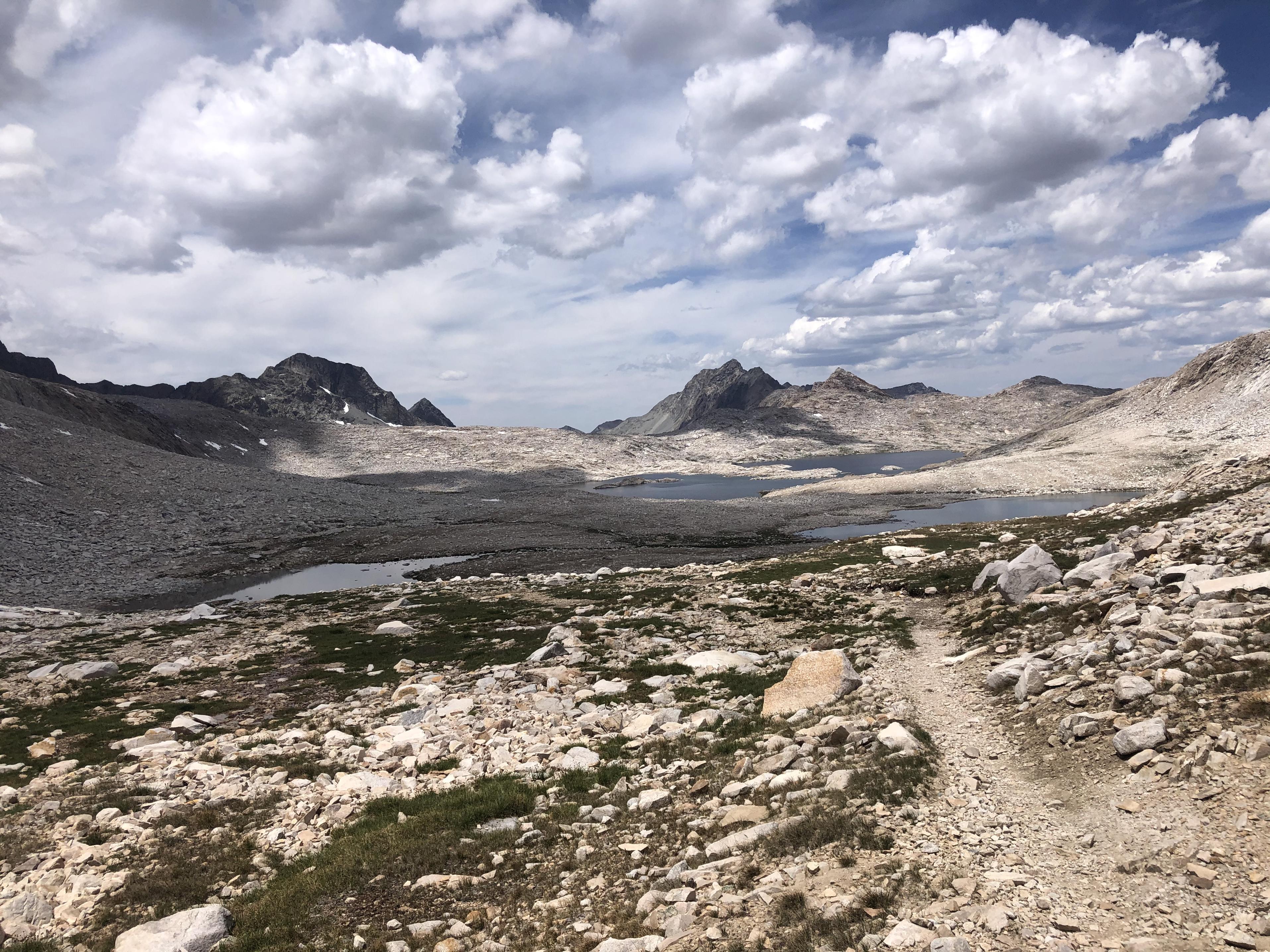
we were already thinking of Muir Pass with Muir Hut
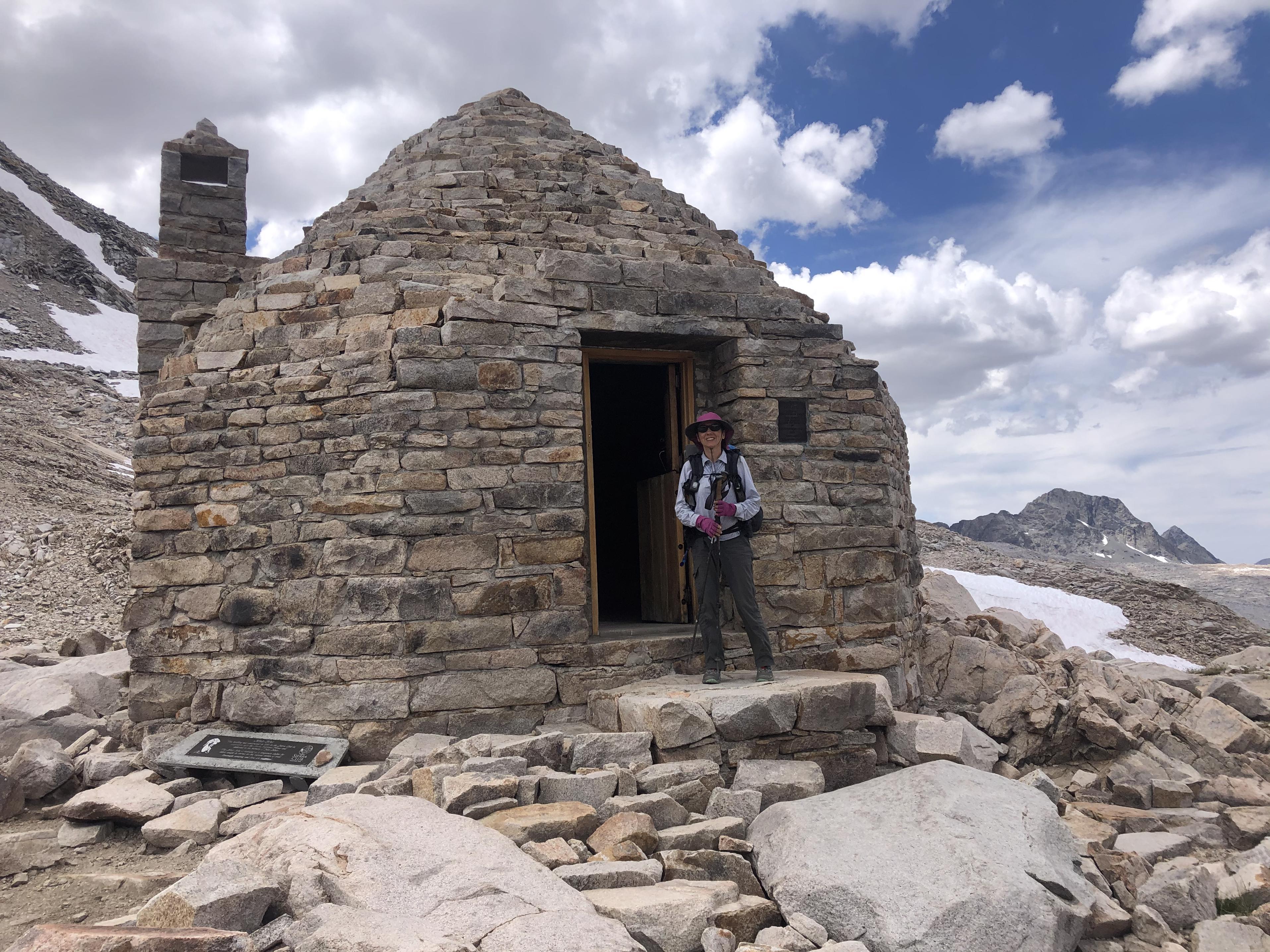
and the view down to Lake McDermand and Wanda Lake.
This was familiar terrain as we had backpacked the John Muir Trail last summer. It was still interesting to see everything coming from the opposite direction. We would notice things that we had missed going the other way.
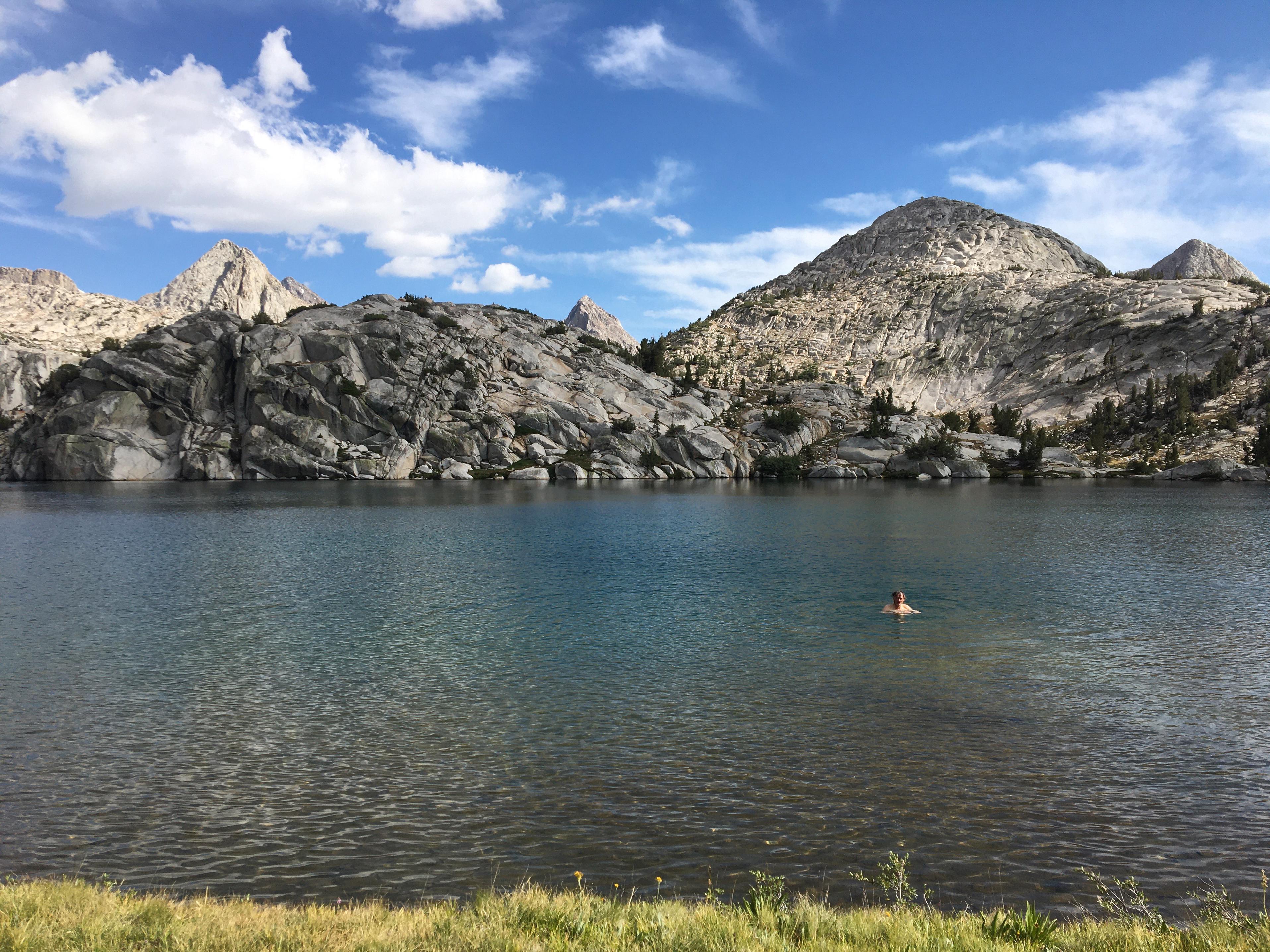
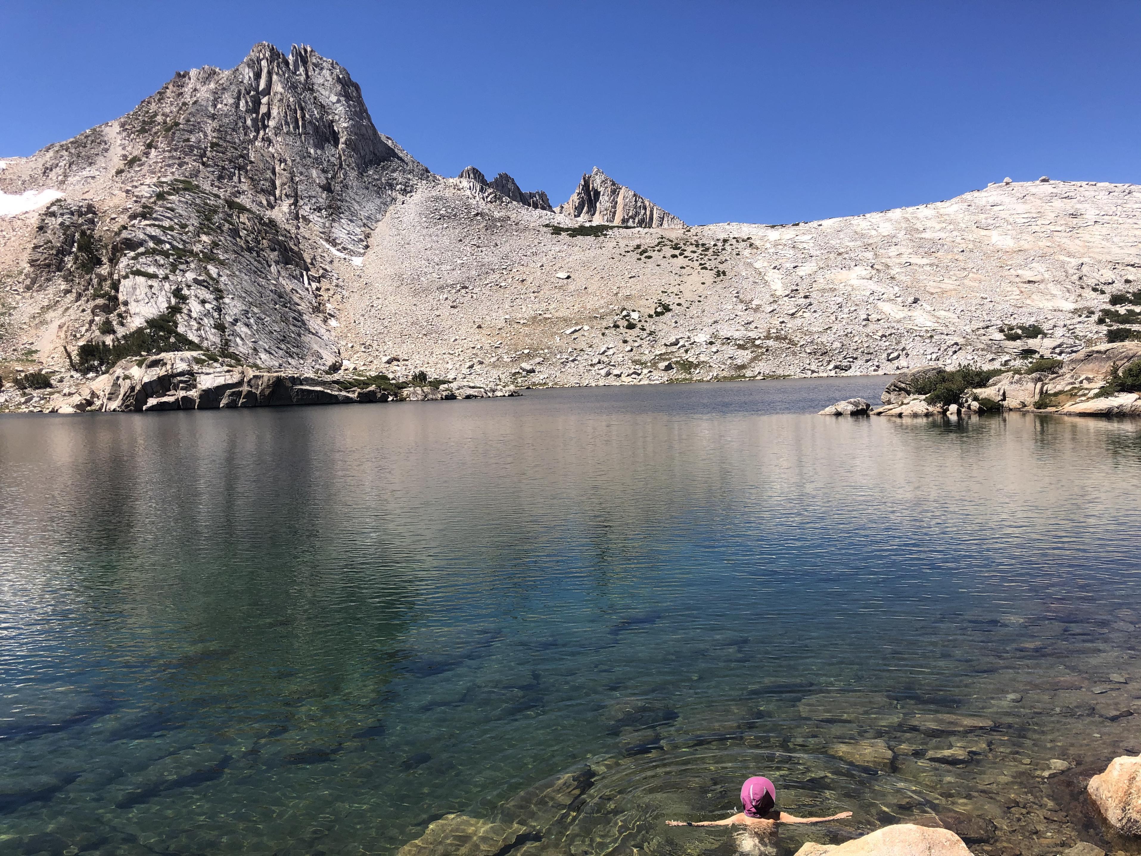
Our break at Sapphire Lake was relaxing
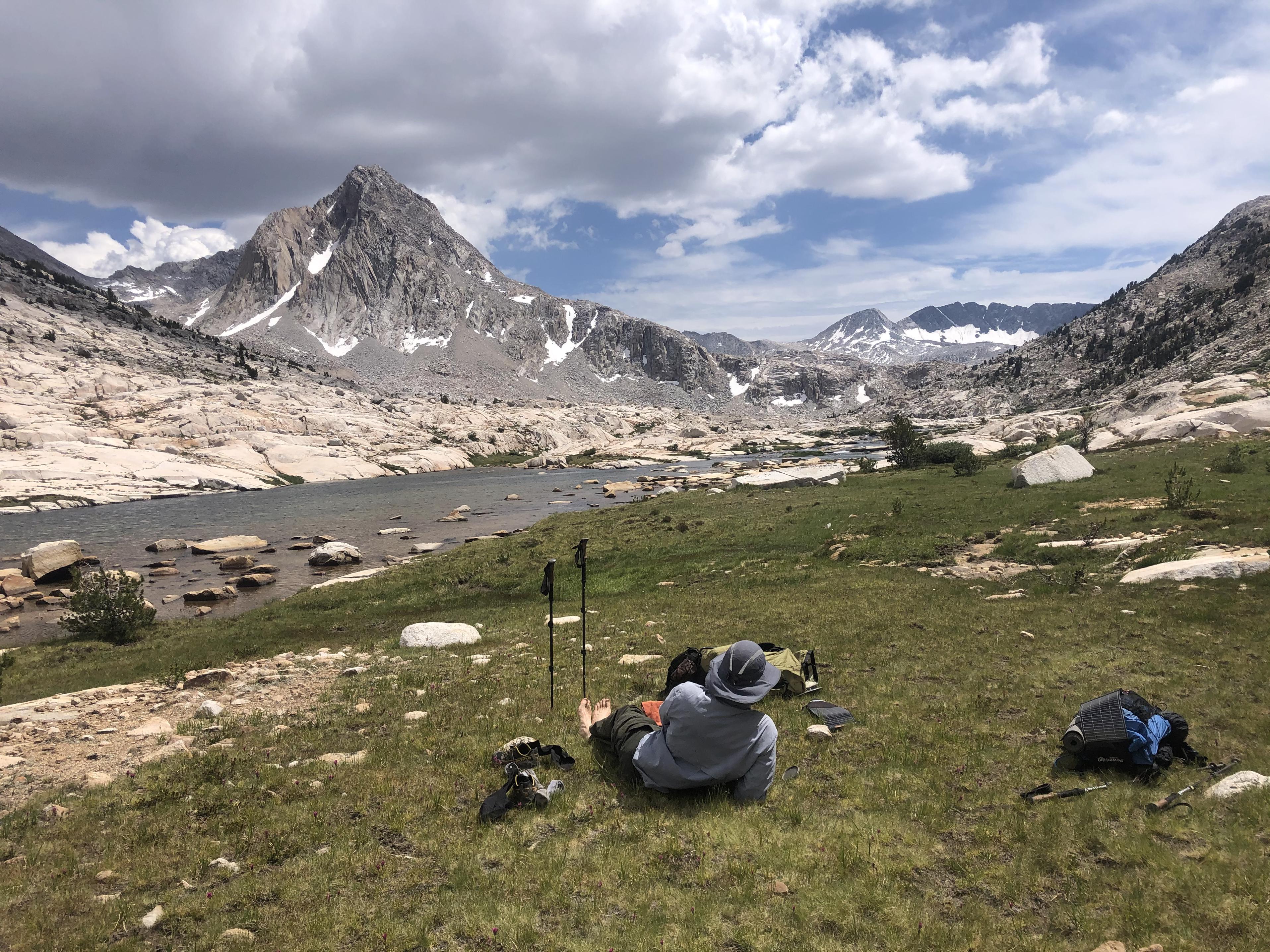
and swimming in Evolution Lake added to the feeling of relaxation.
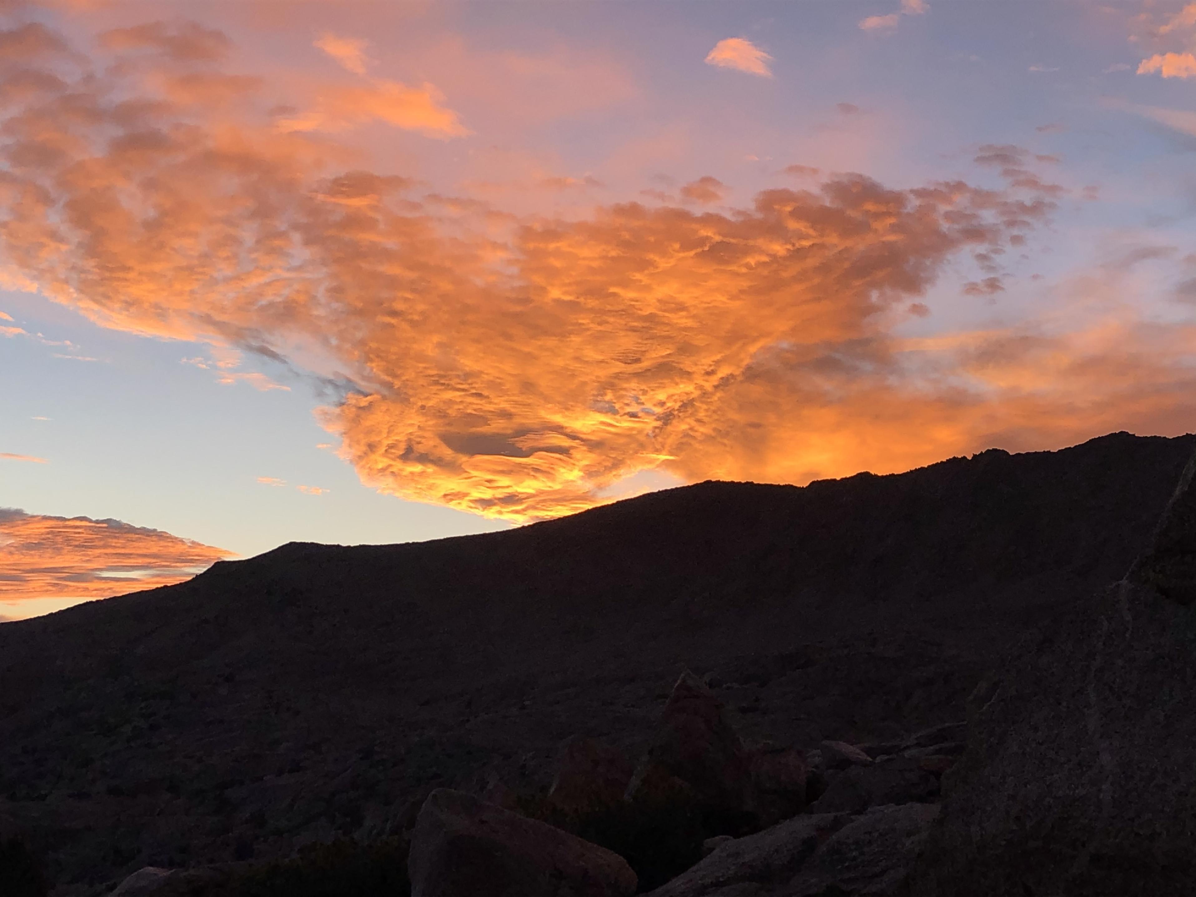
Now we would leave the JMT and climb up to Darwin Bench and eventually Darwin Canyon where we camped with a gorgeous view of the beautiful Darwin Lakes.
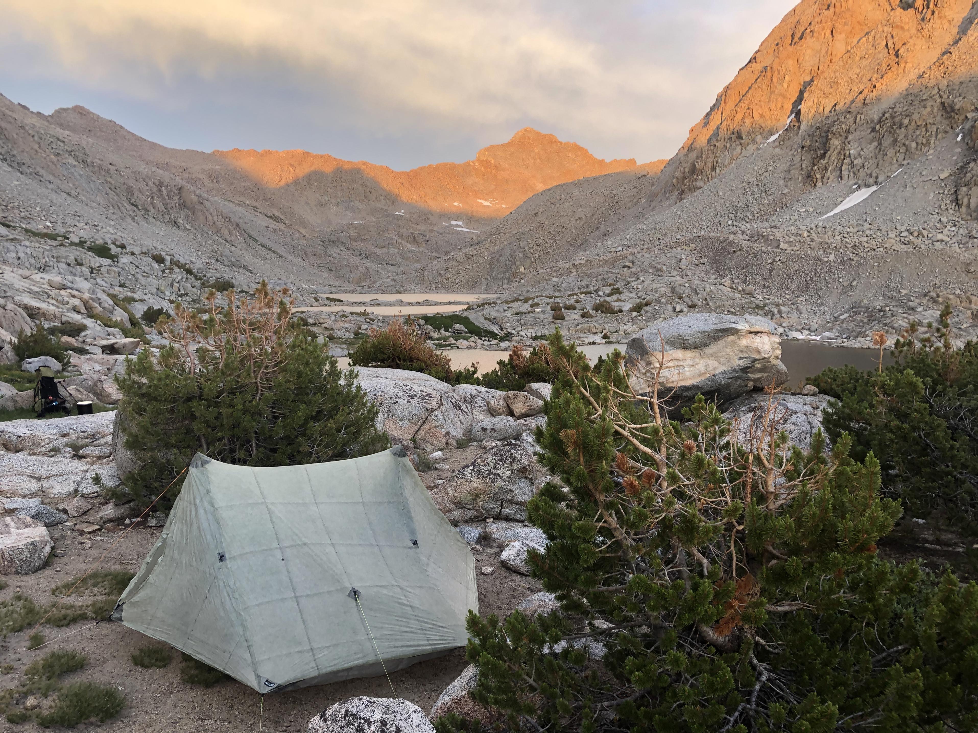
The sky seemed to be on fire that evening as we were looking forward to picking up our re-supply the next day.
We had decided to go first over Lamarck Col into North Lake for resupply and then from there over Piute Pass into Humphreys Basin to continue on the SHR instead of going over Snow Tongue Pass to get into Humphreys Basin.
Day 7: Darwin Canyon to Loch Leven
We saw a Bald Eagle in Darwin Canyon fishing in the Darwin Lakes. That was a first for us. So far we had only seen Golden Eagles in the Sierra.
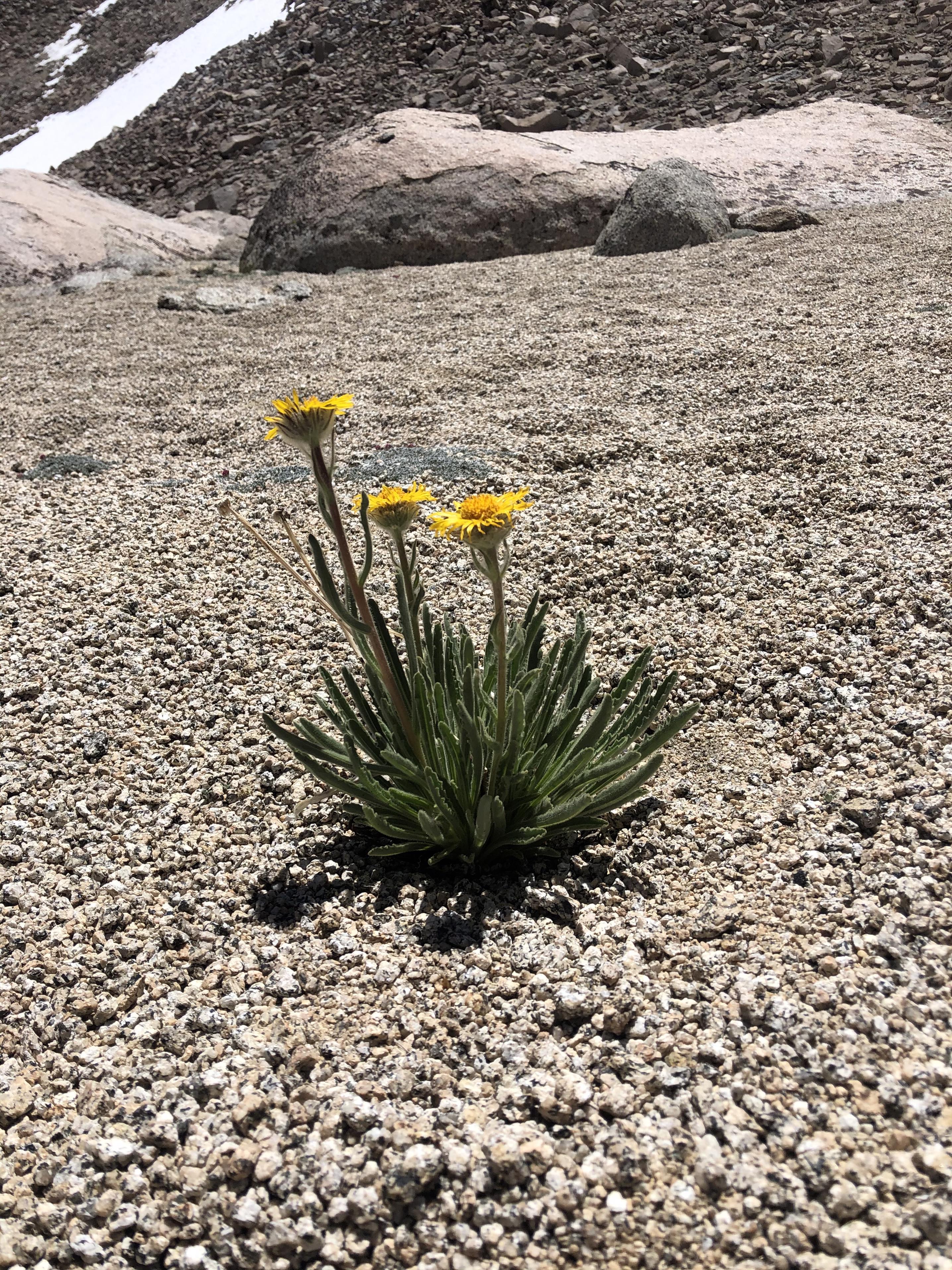
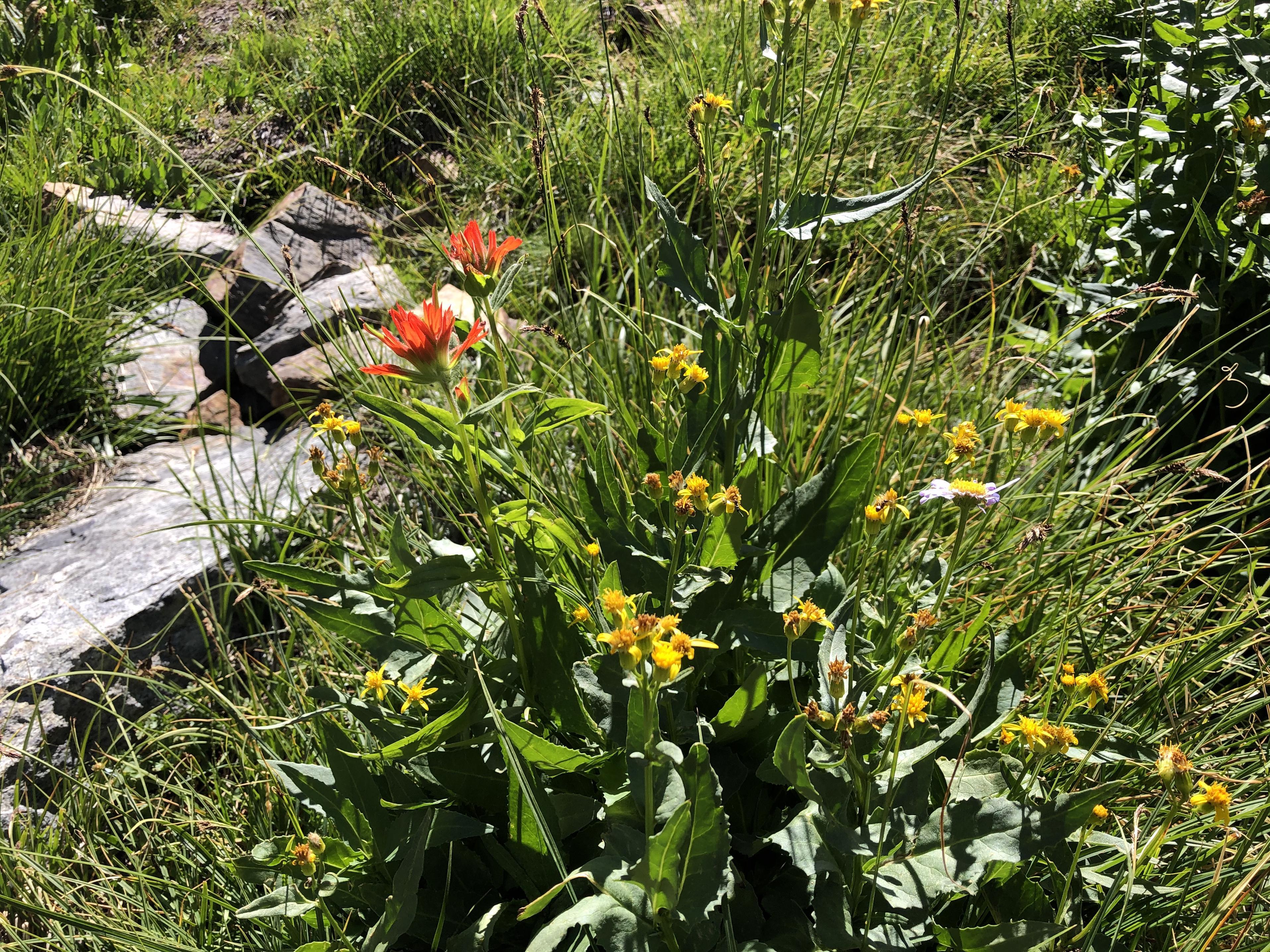
Coming down from Lamarck Col we crossed snow
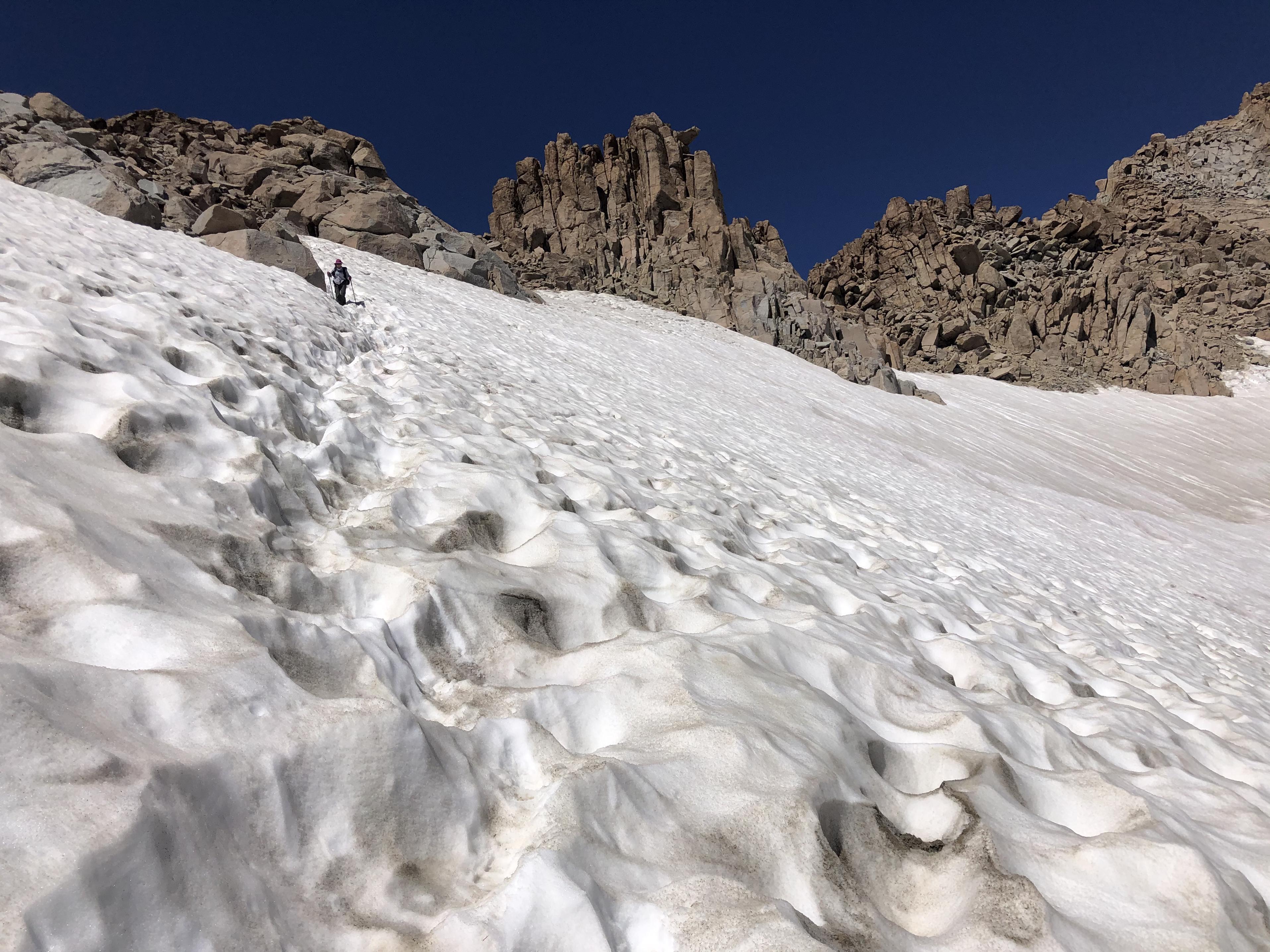
and right after that hit huge sandy area where we were once again surprised to see how wildflowers carve out a living in that environment.
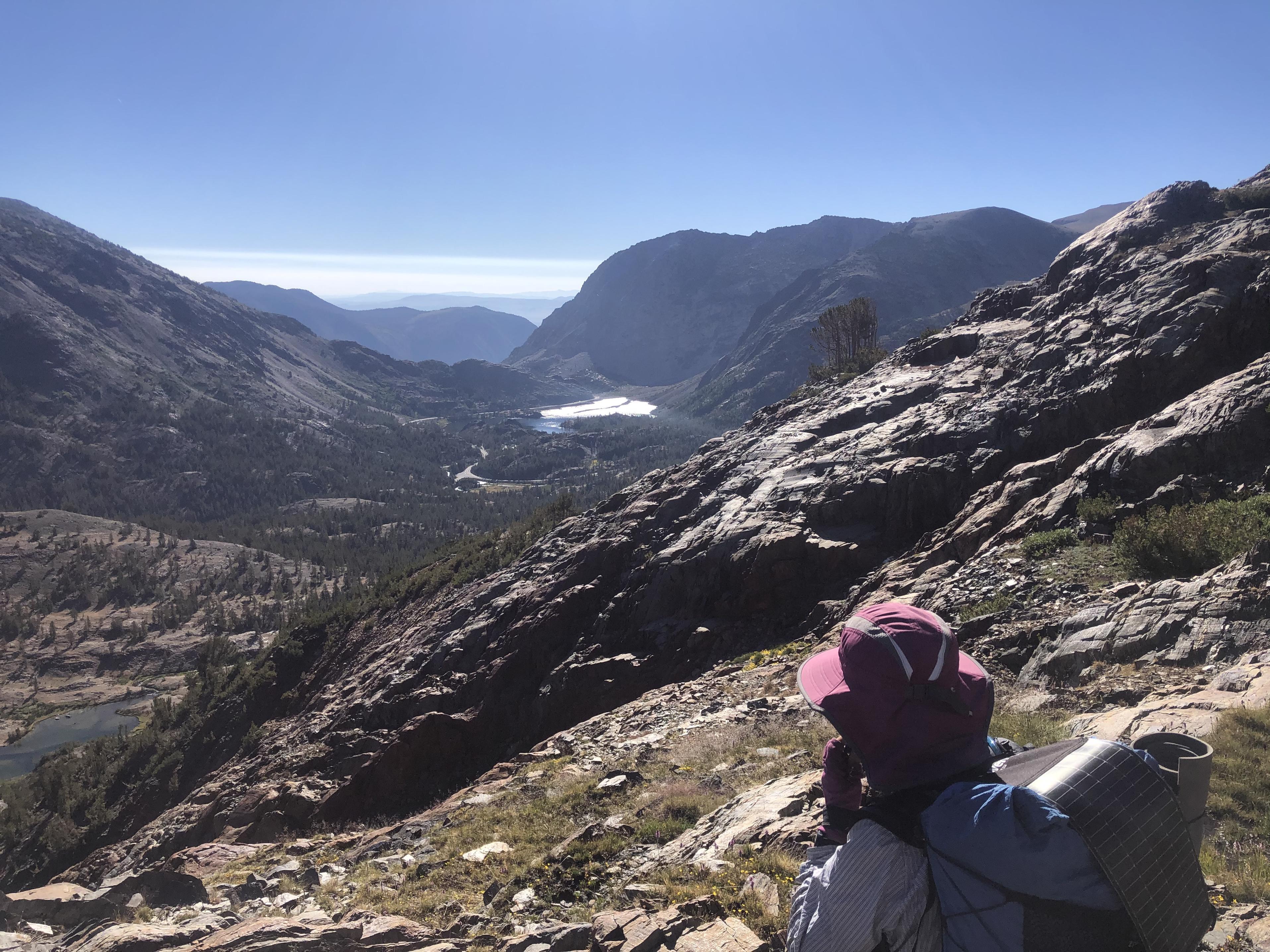
Seeing North Lake made us look forward to some goodies we had put into our re-supply bucket
and consequently we would get down pretty fast leaving the mountains behind us.
 Day 8: Loch Leven to Merriam Lake
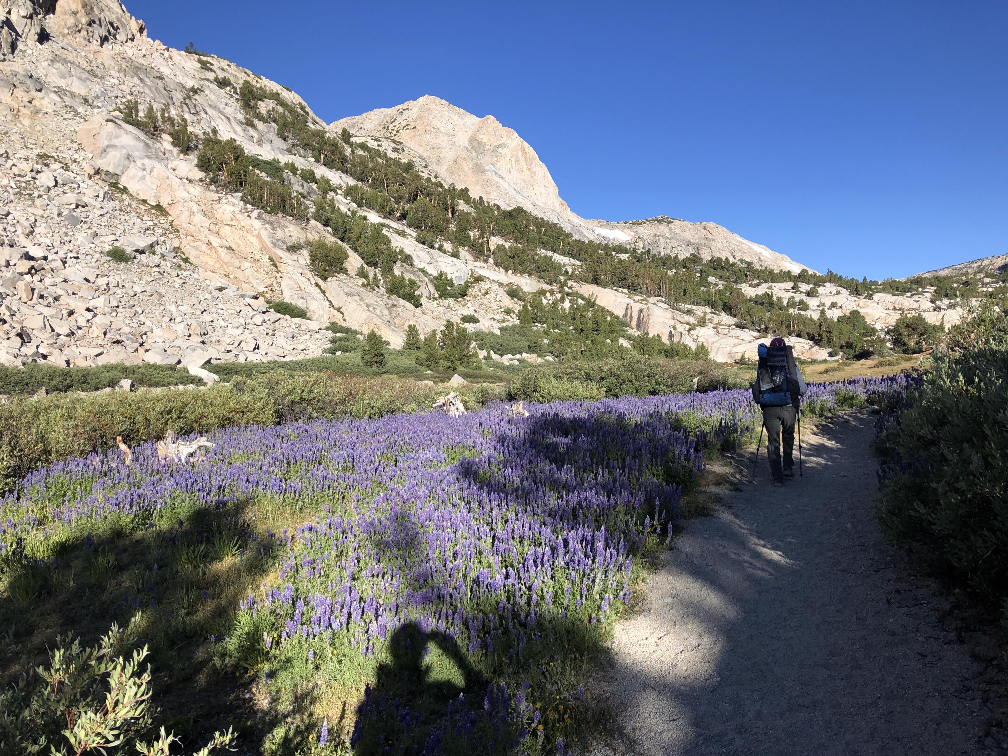
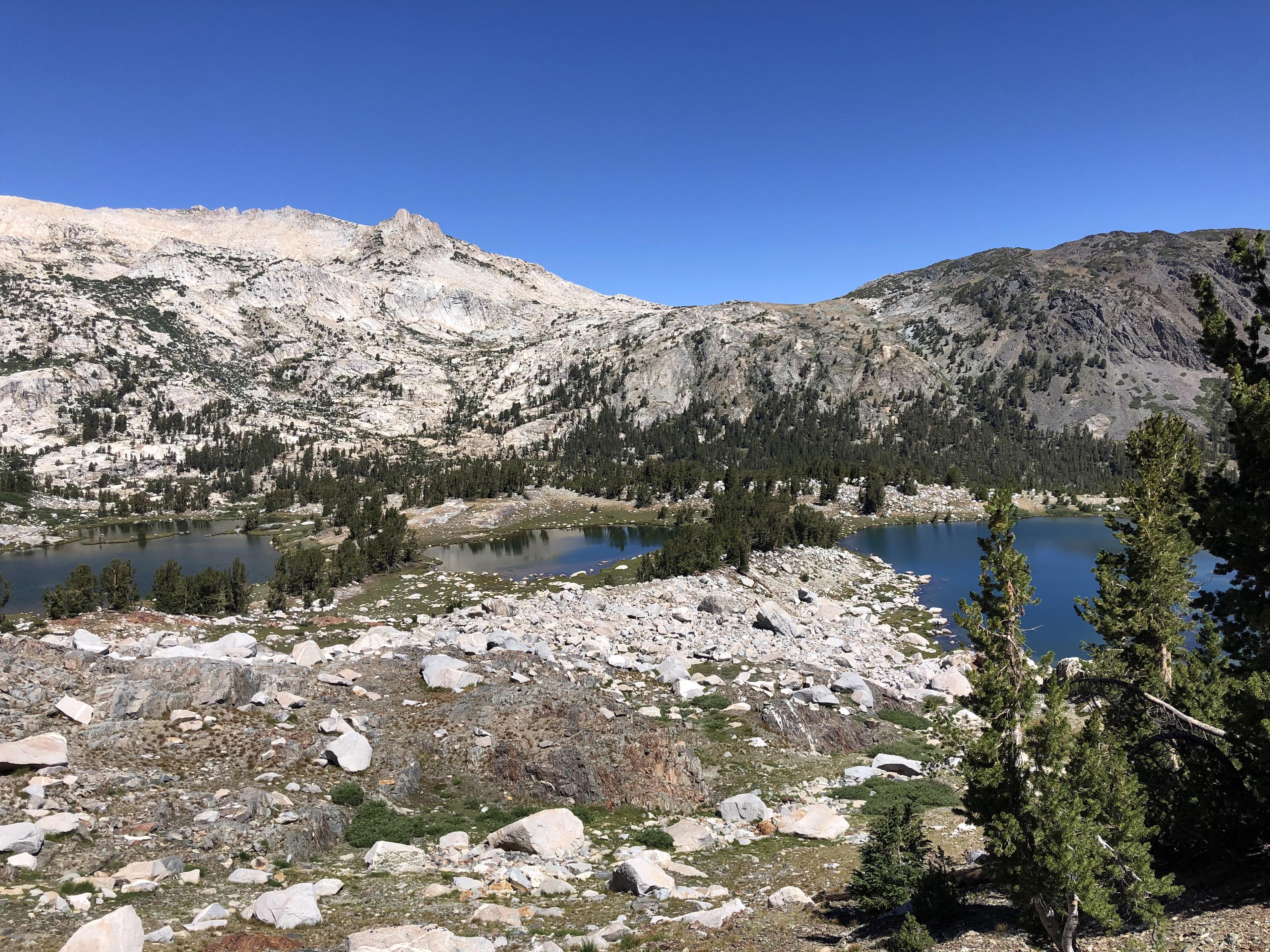
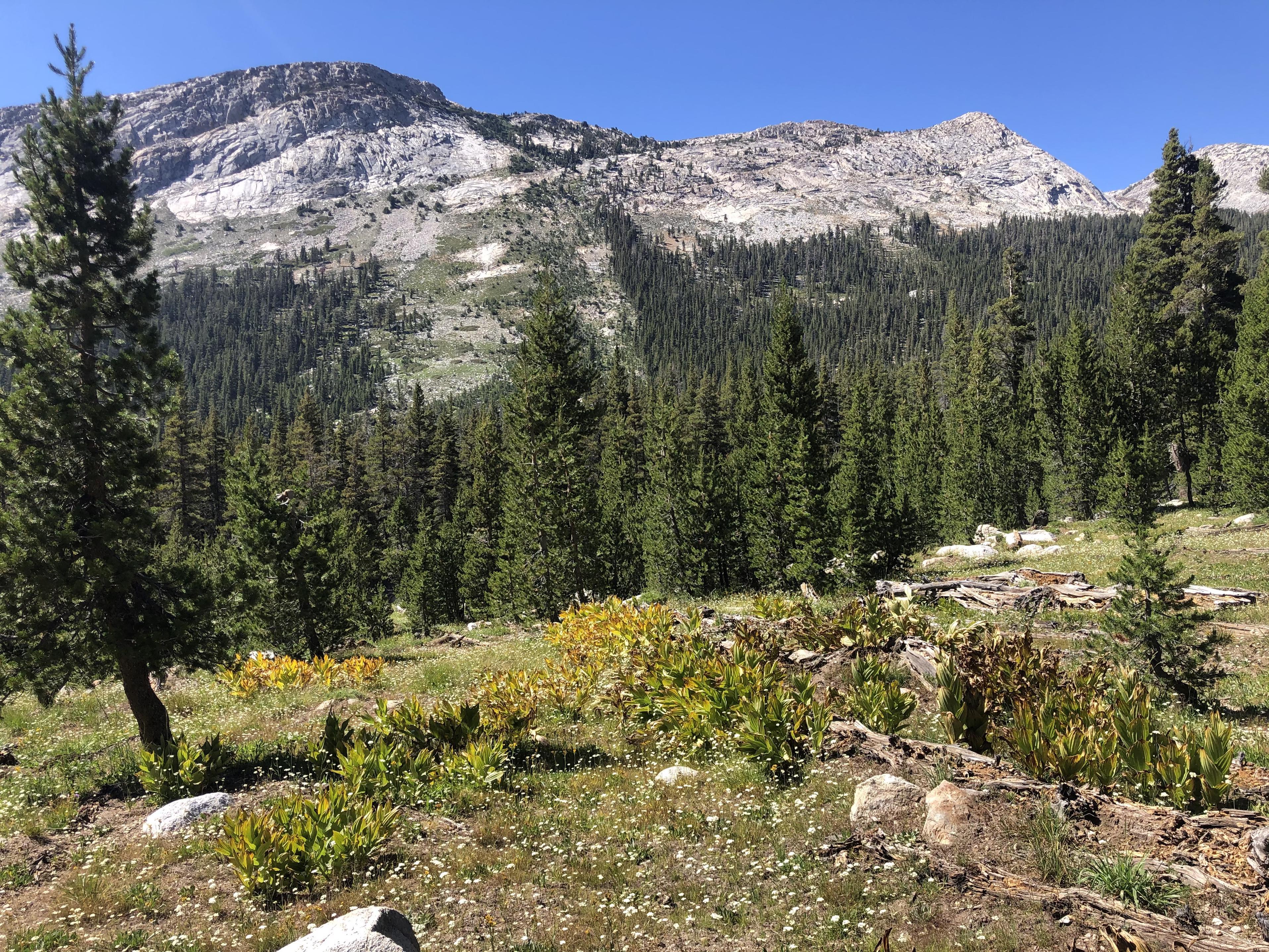
Starting our day at Loch Leven
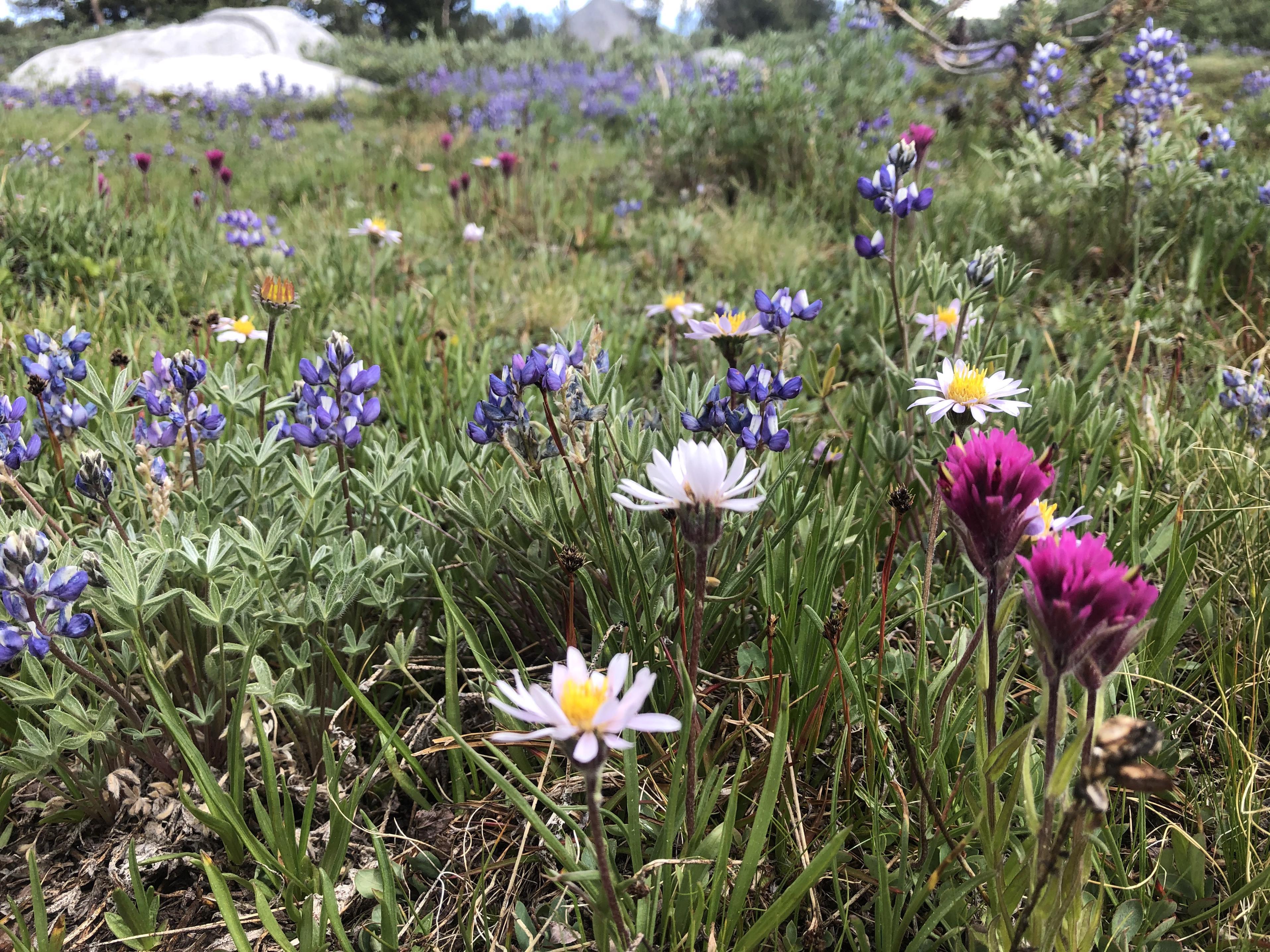
and walking through all the wildflowers along the way made for a great morning. The Sierra was in high bloom during our trip and one could write a whole trip report with just wildflower photos.
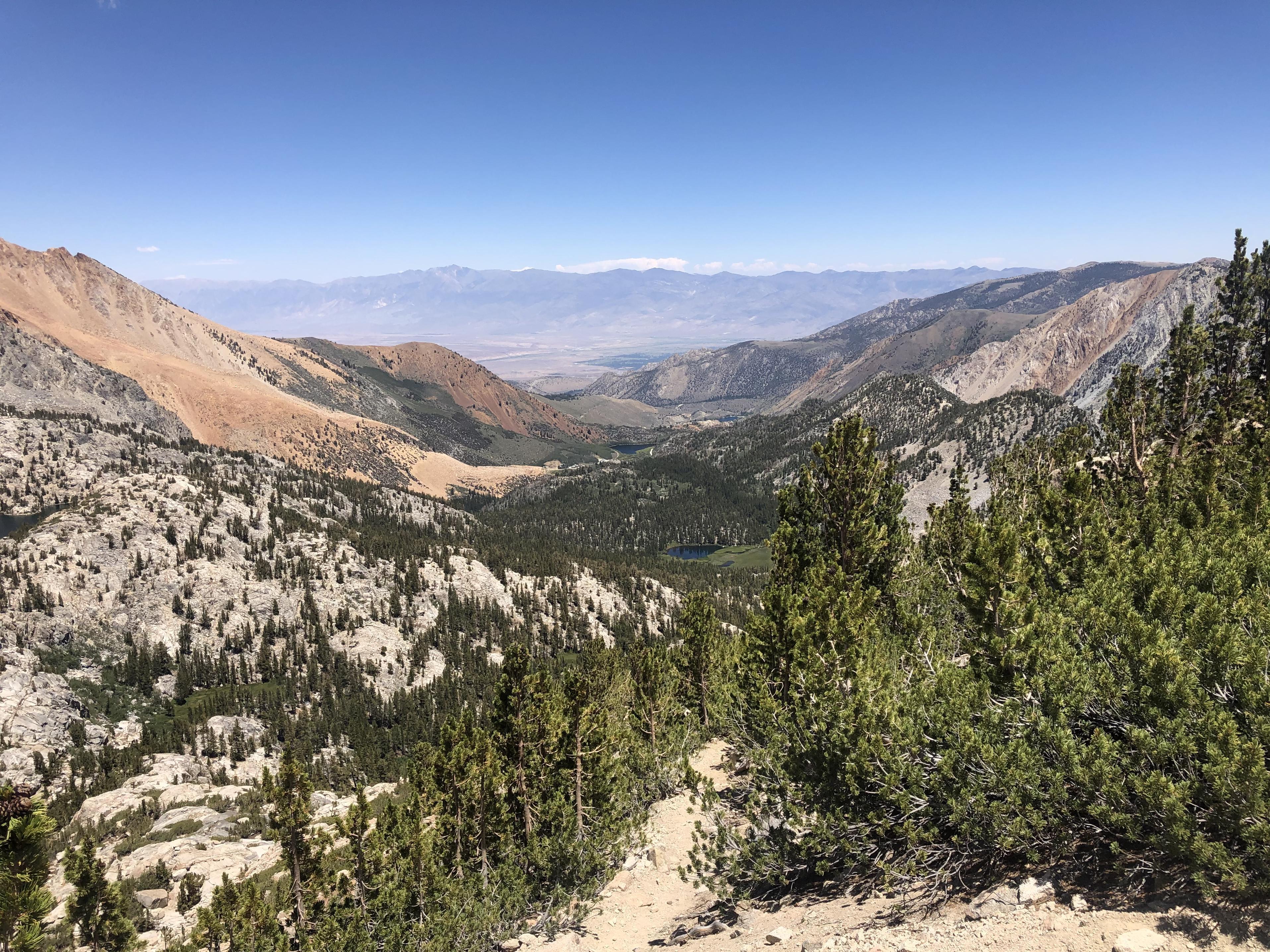
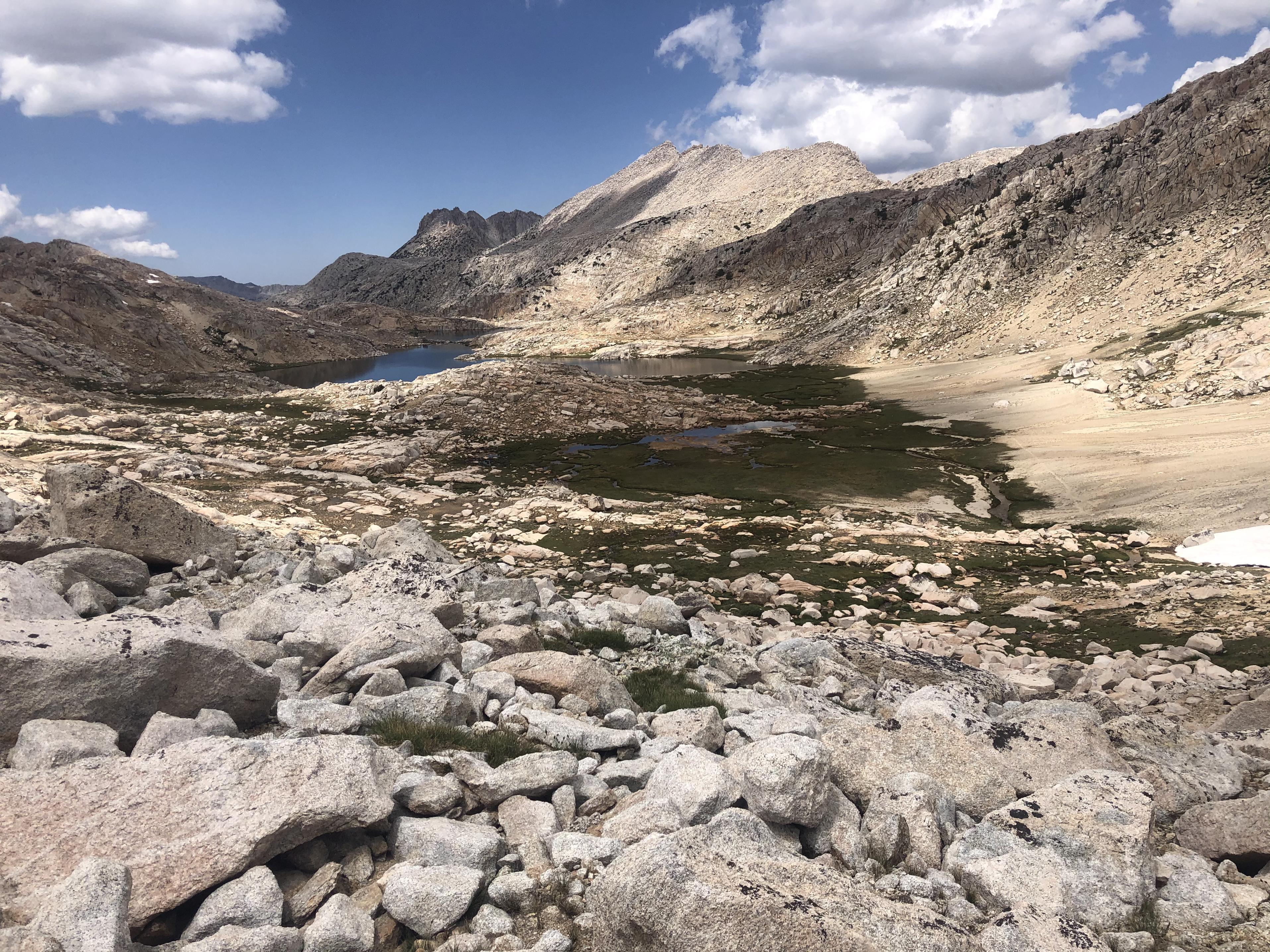
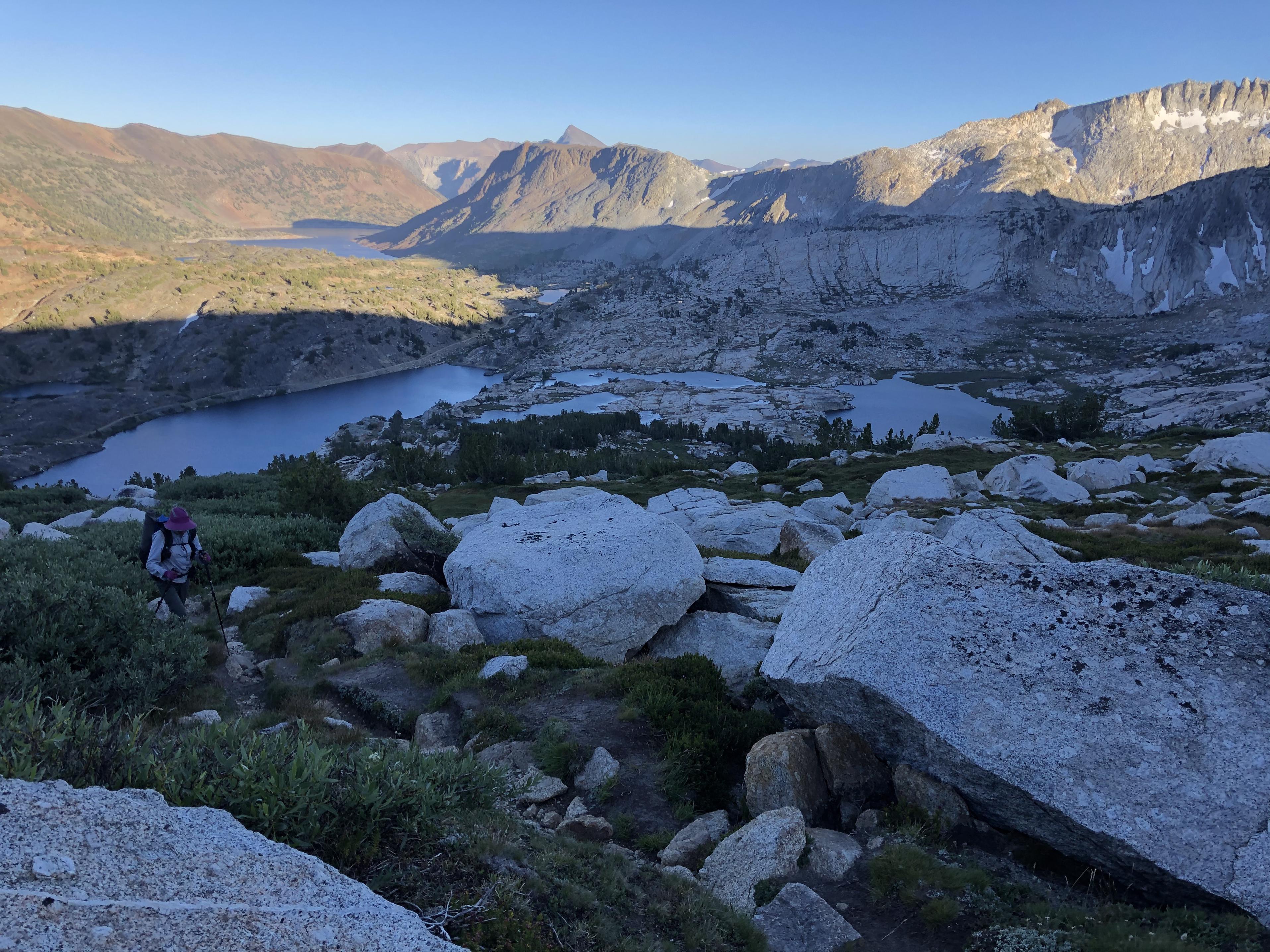
The view back at Piute Lake and Loch Leven from Piute Pass made us realize how easy Piute Pass is
and what a great gateway into Humphreys Basin.
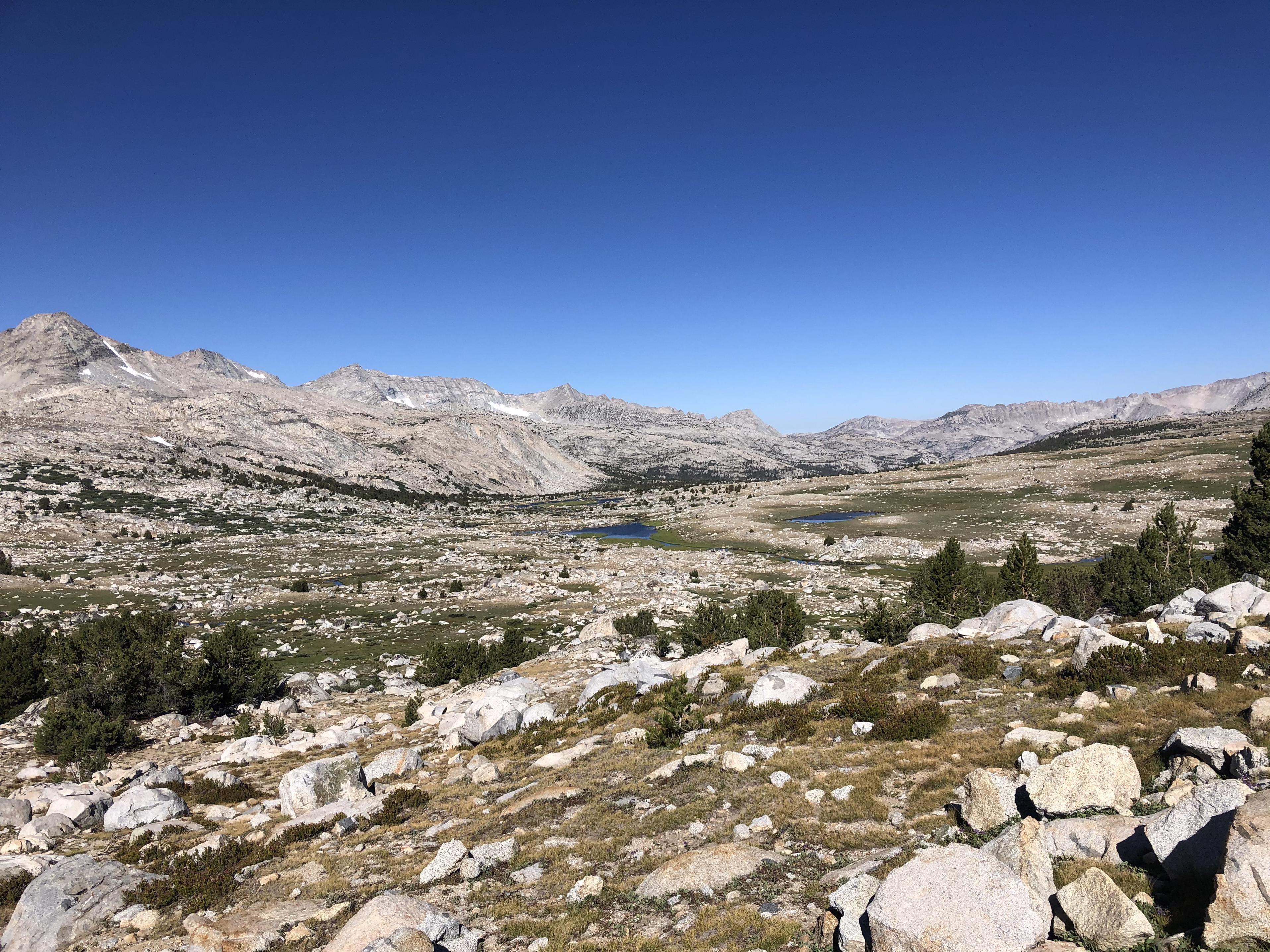
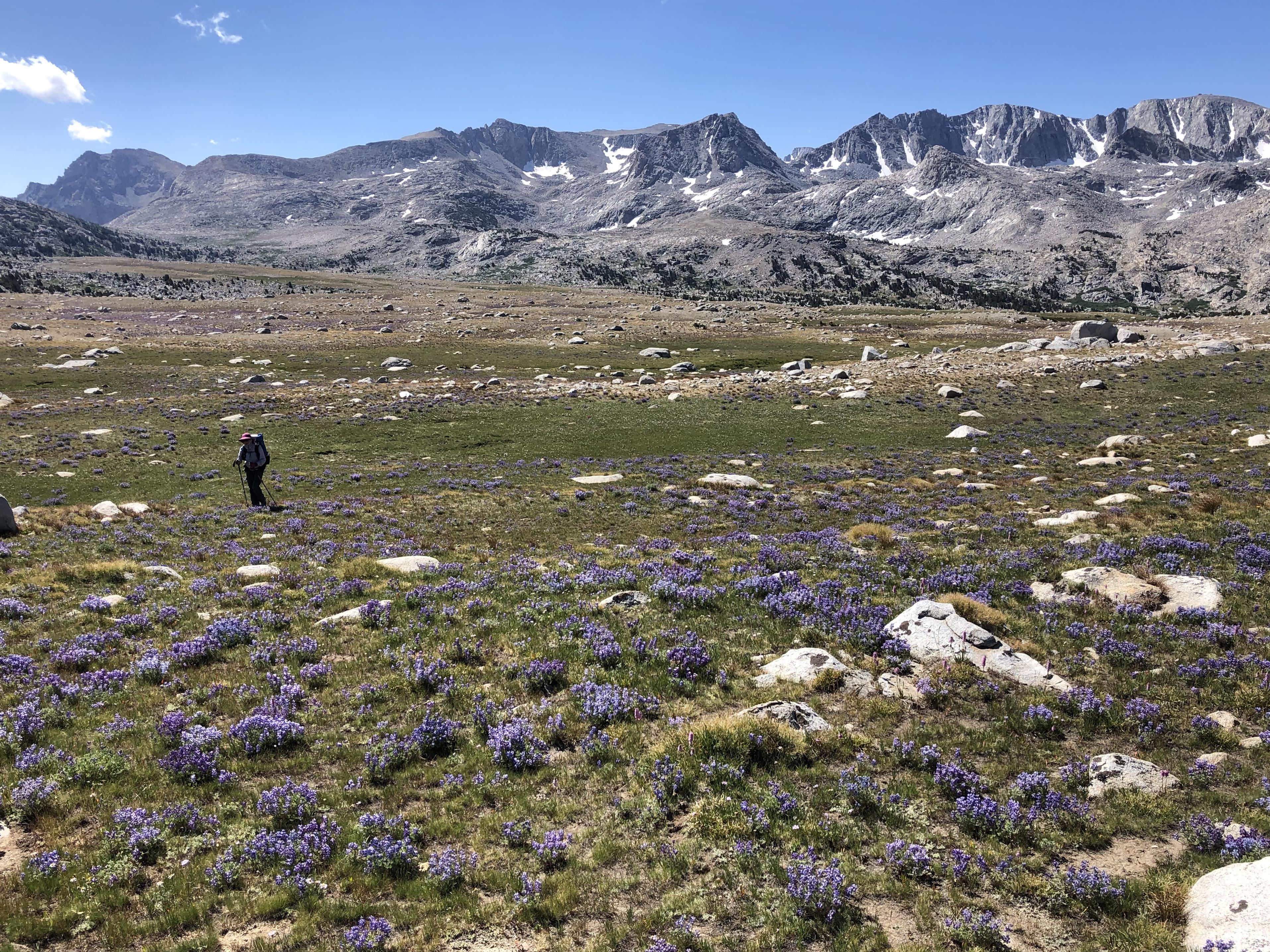
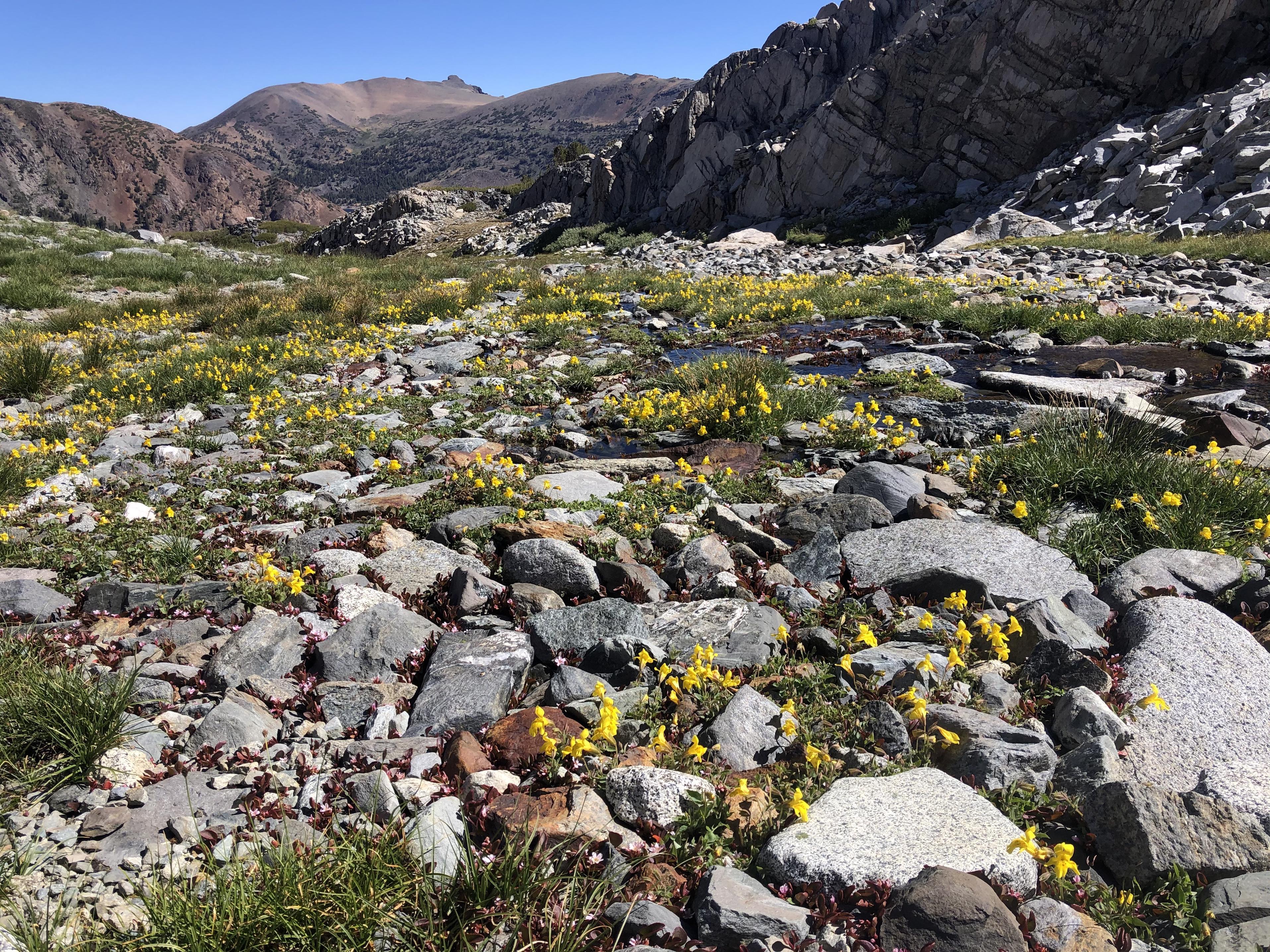
While crossing Humphreys Basin on our way to Mesa Lake
we were constantly in awe of the wildflowers.
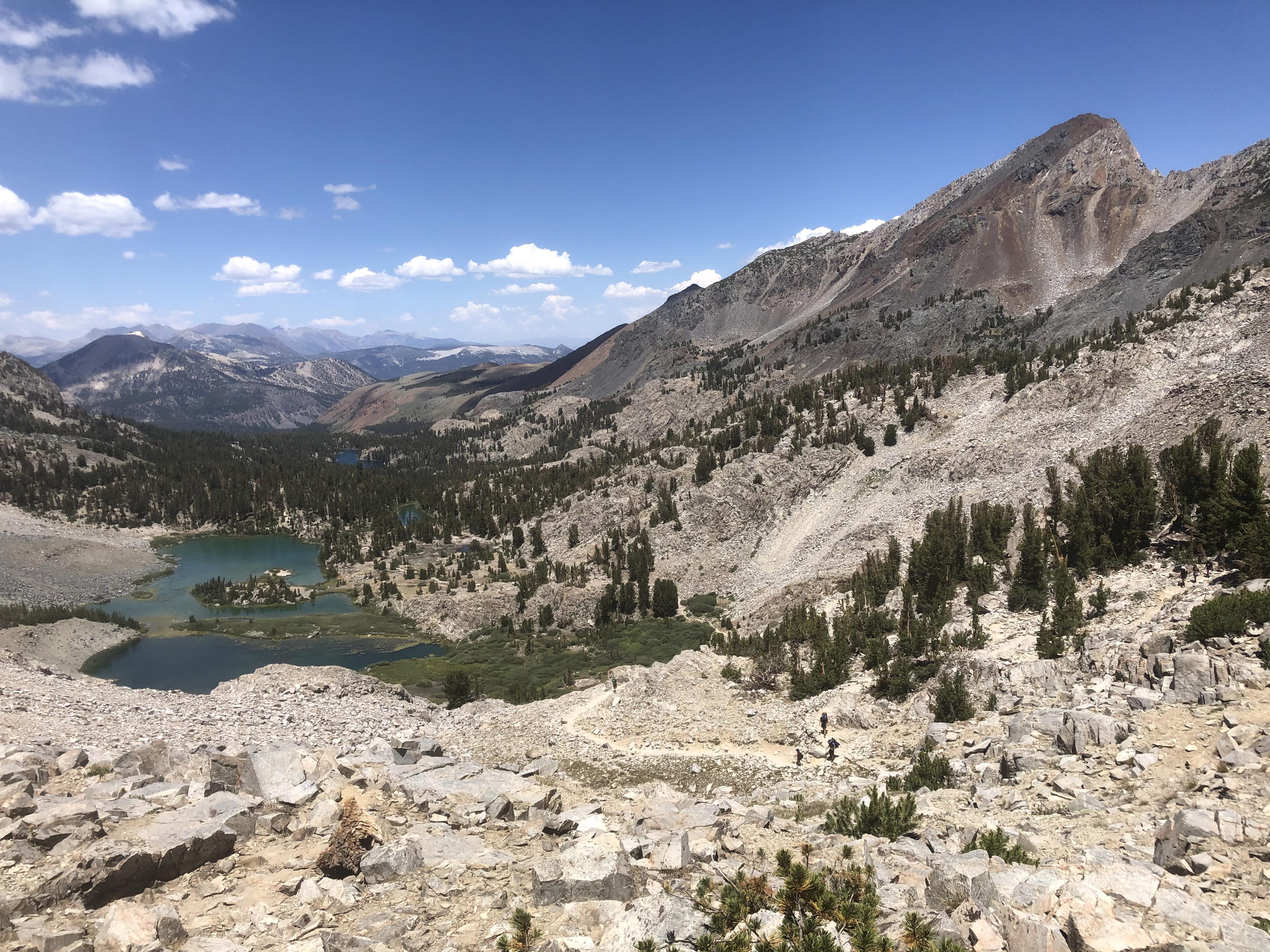
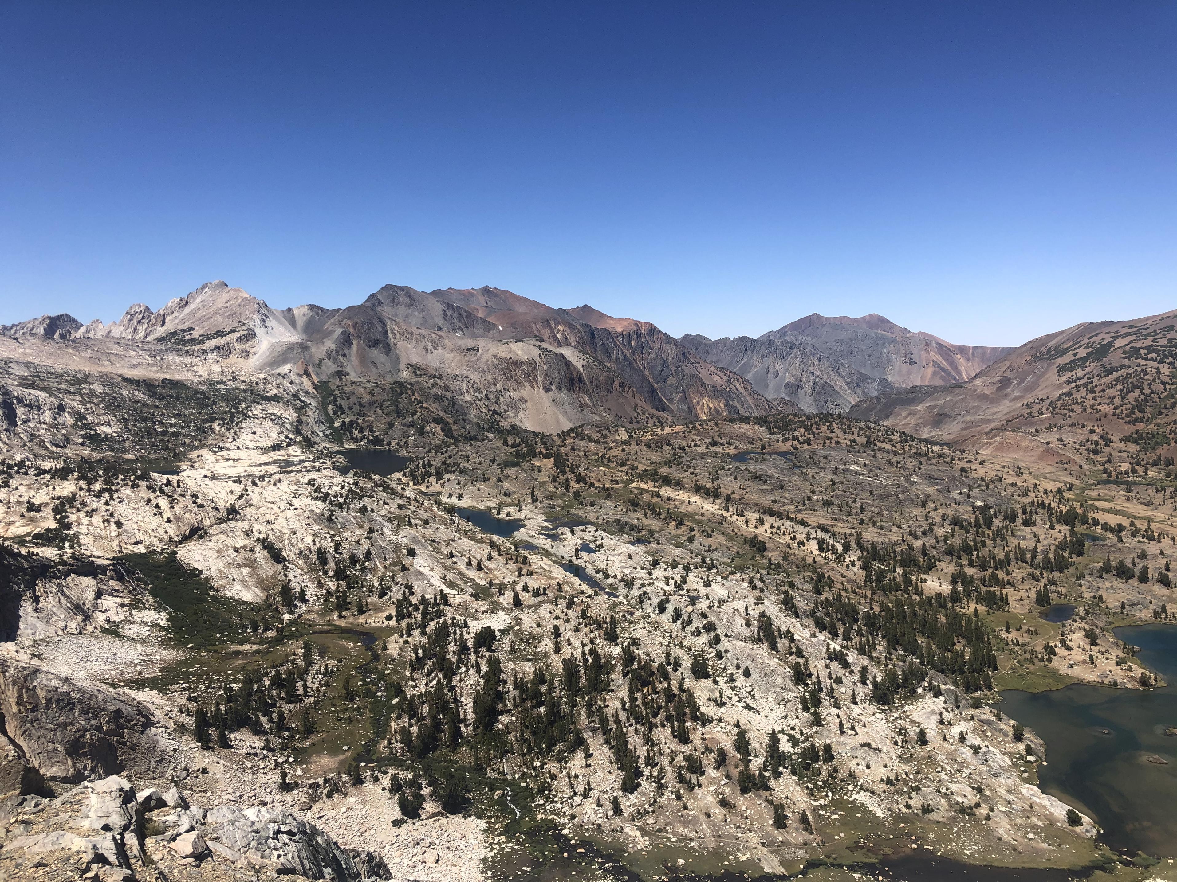
When we reached Puppet we got a great view of Puppet Lake, Paris Lake, Alsace Lake, Lorraine Lake, Roget Lake and Blanc Lake.
Descending the talus was once again hard for Gela,
but it brought us first down to those beautiful lakes
and more wildflowers
and eventually into French Canyon
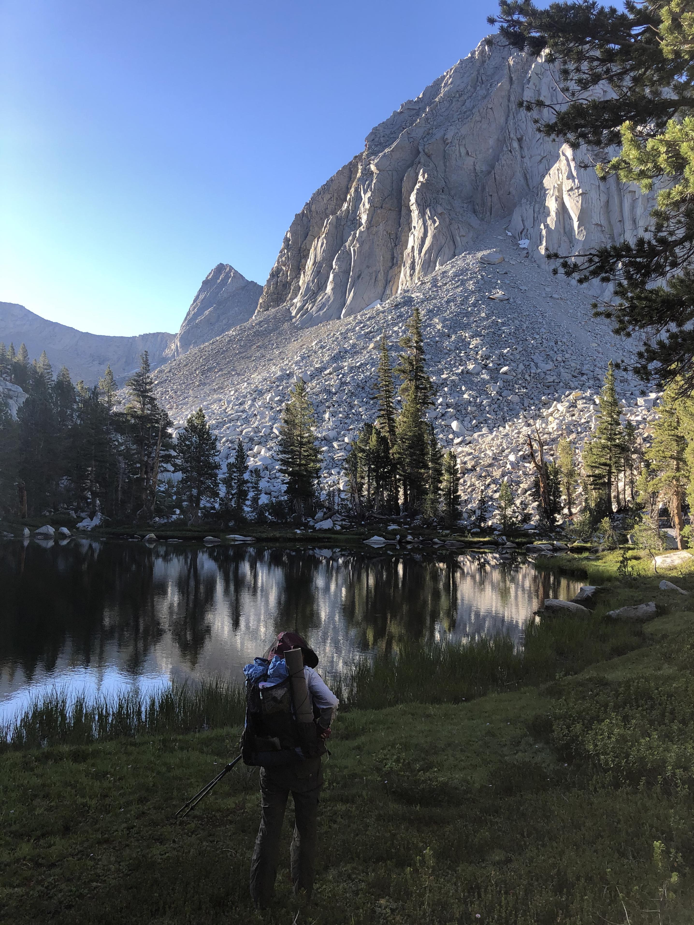
from there we climbed up to Merriam Lake where I would swim before the night.
Day 9: Merriam Lake to Bear Creek
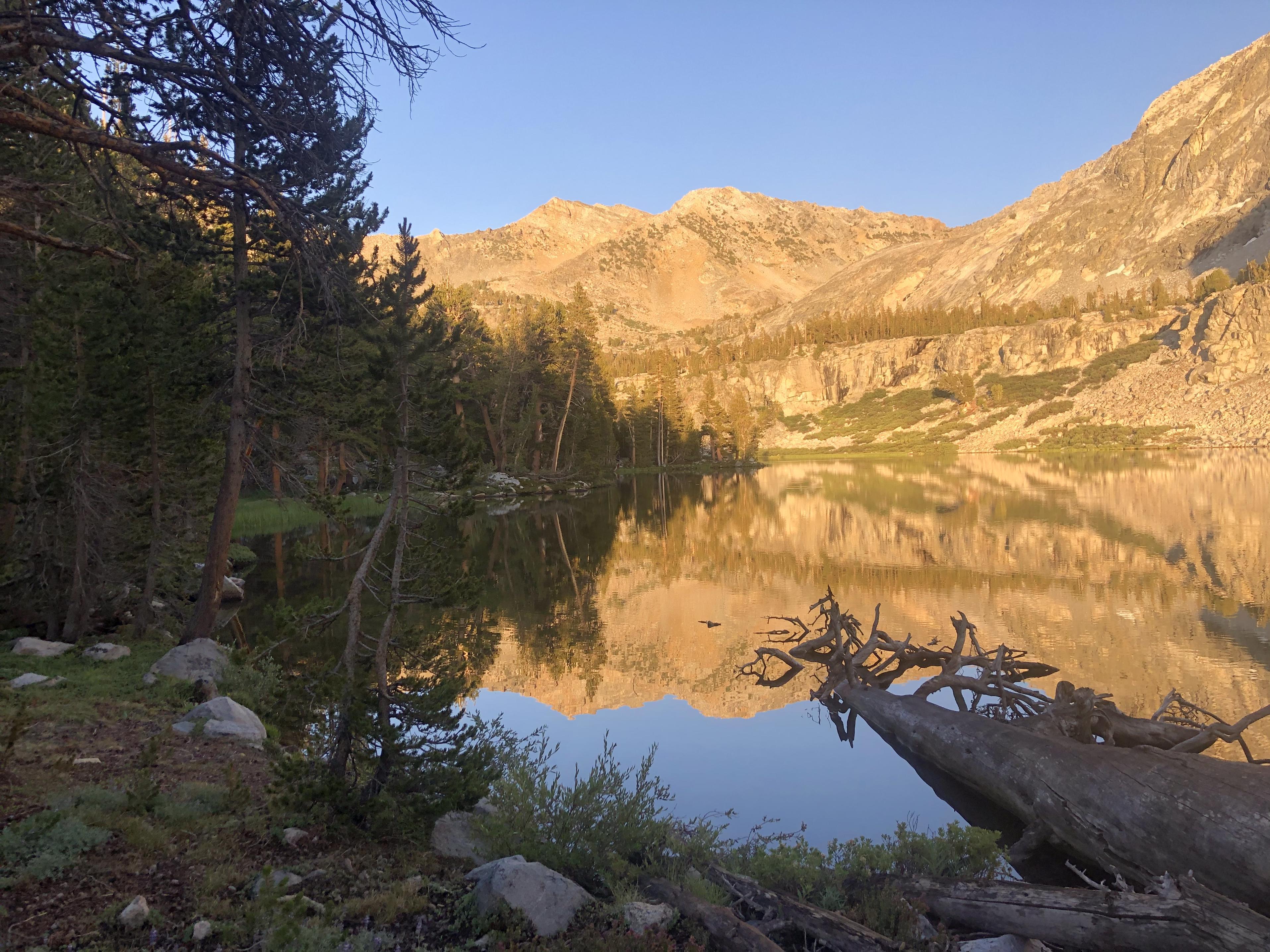
Merriam Lake greeted us with calm mirror-like water in the morning
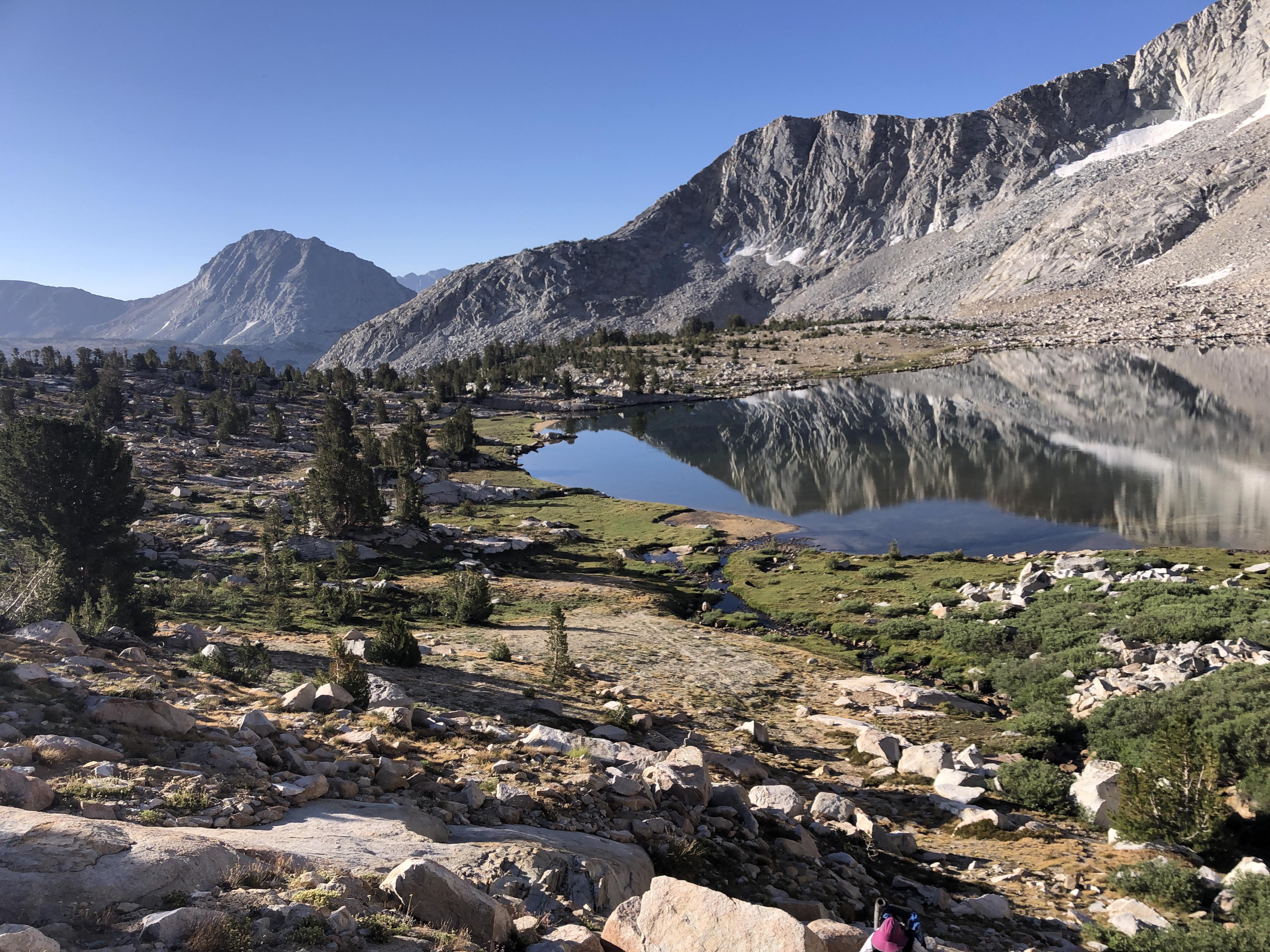
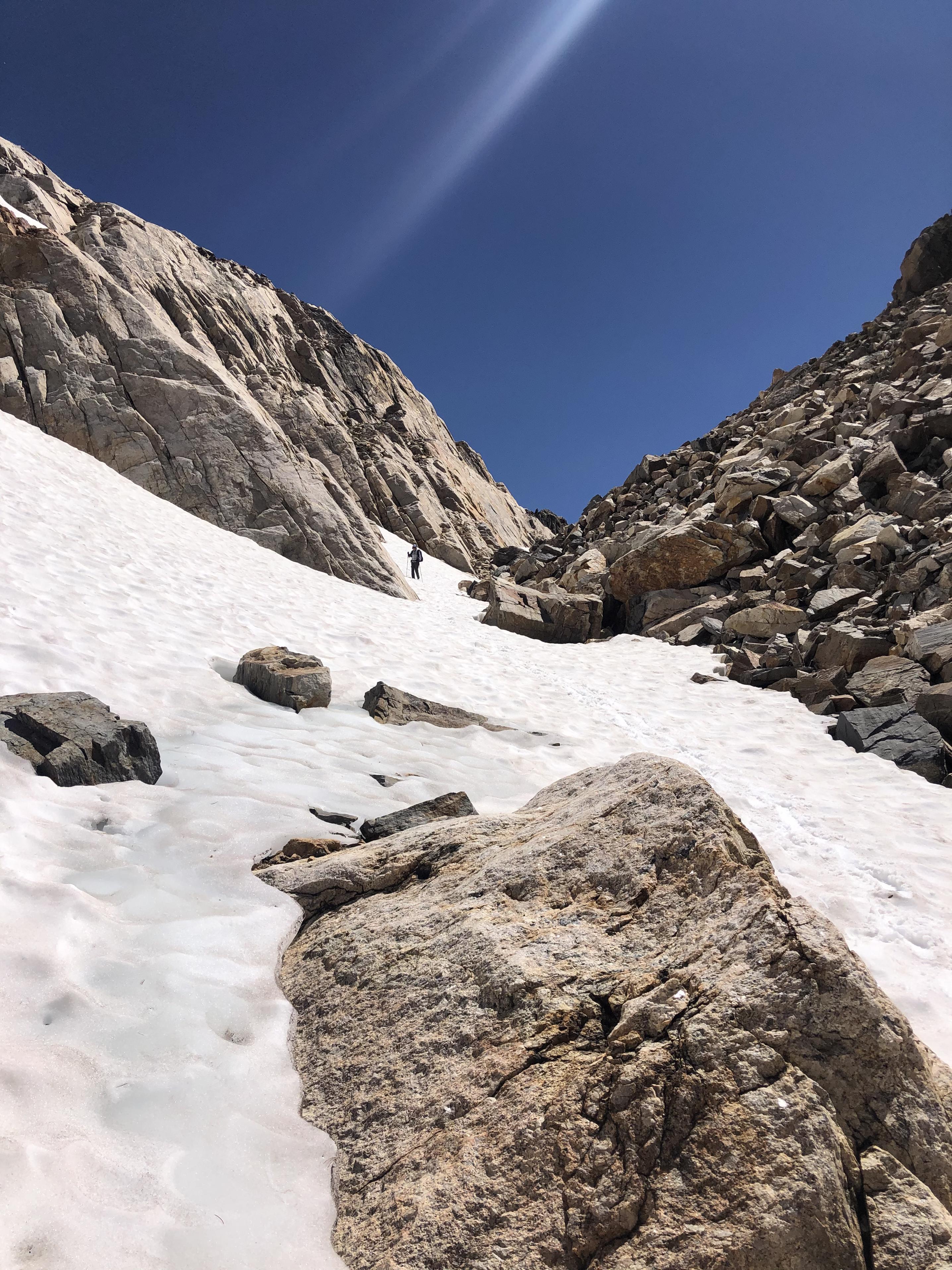
and we climbed from there along LaSalle Lake to the top of Feather Pass
On the way down through the snow
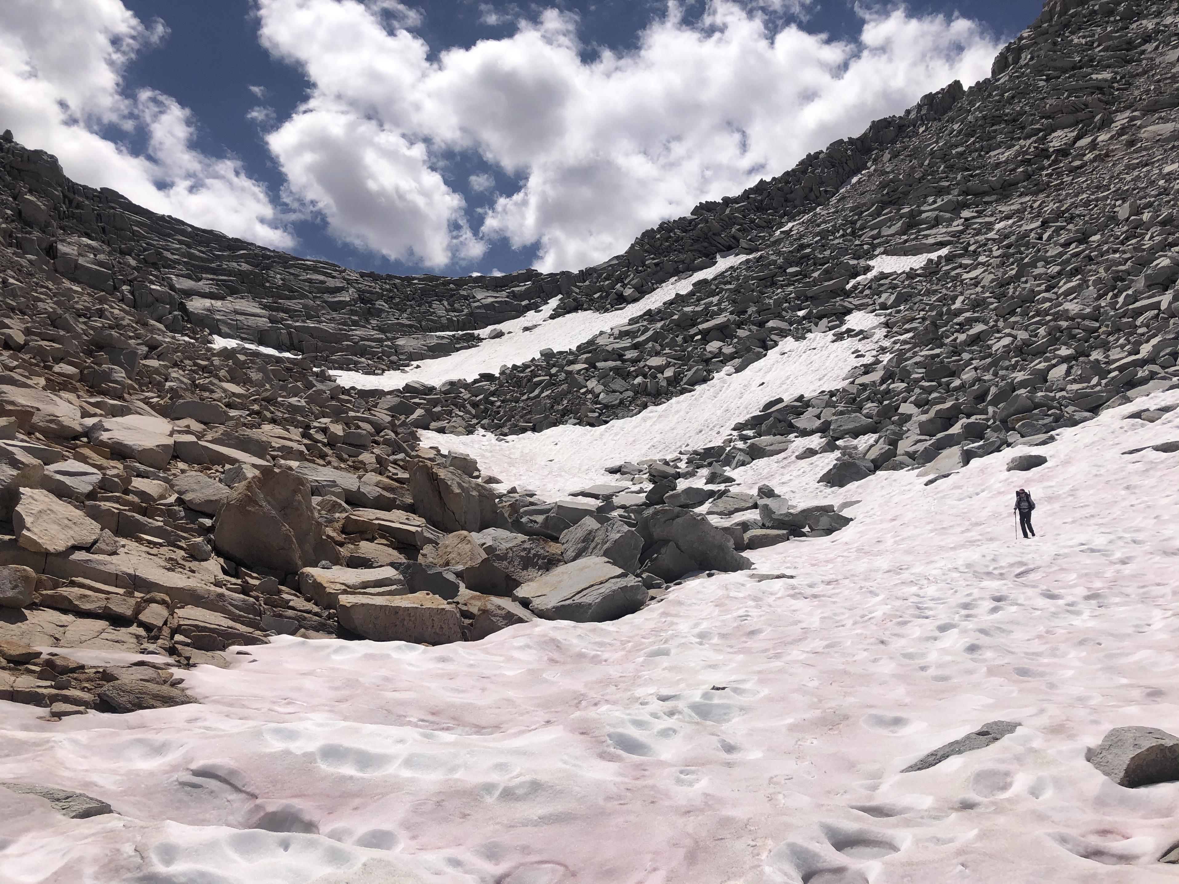
we admired the ‘feathers’ that gave it it’s name.
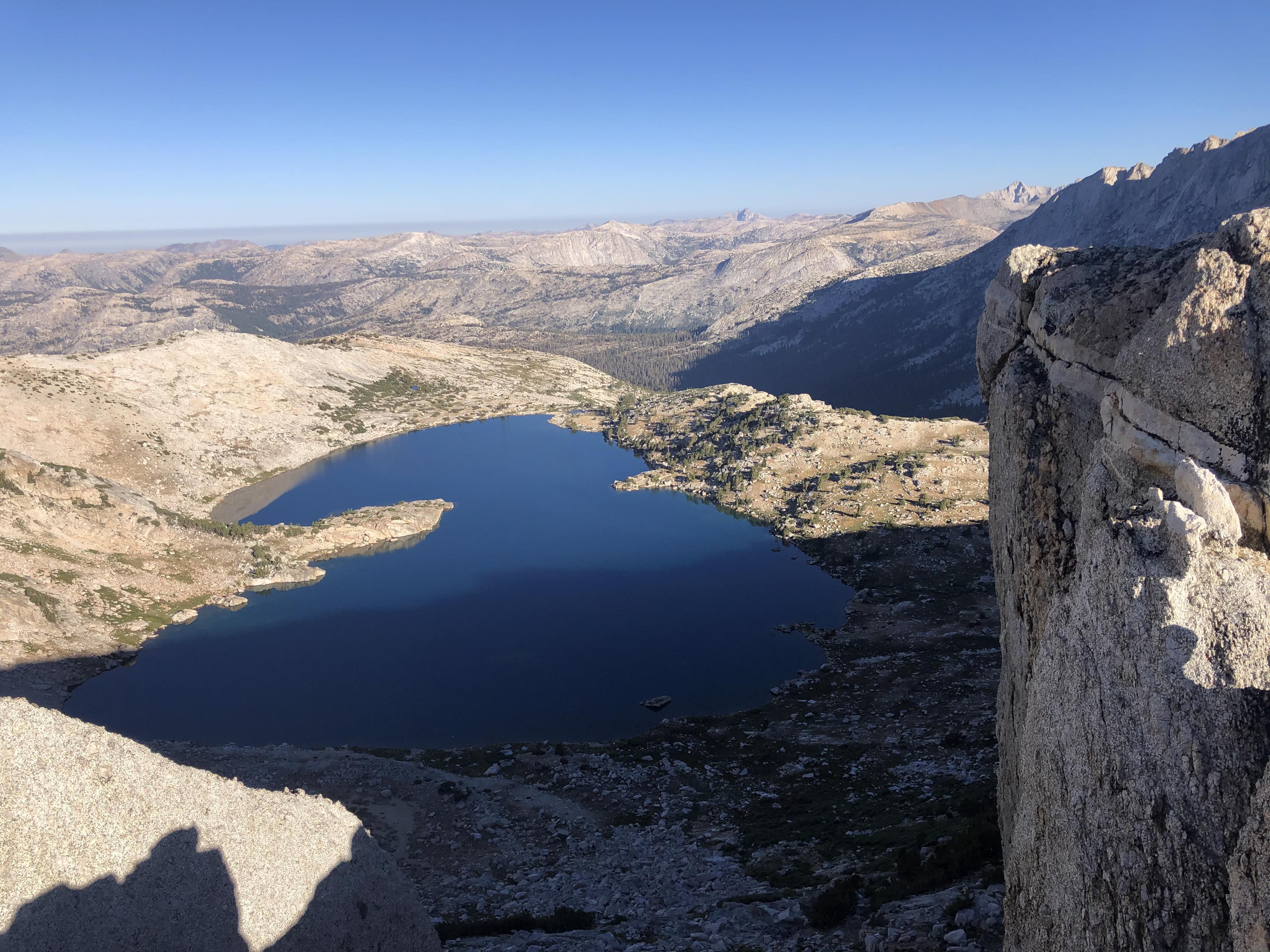
Bearpaw Lake was a perfect stop swimming and fishing.
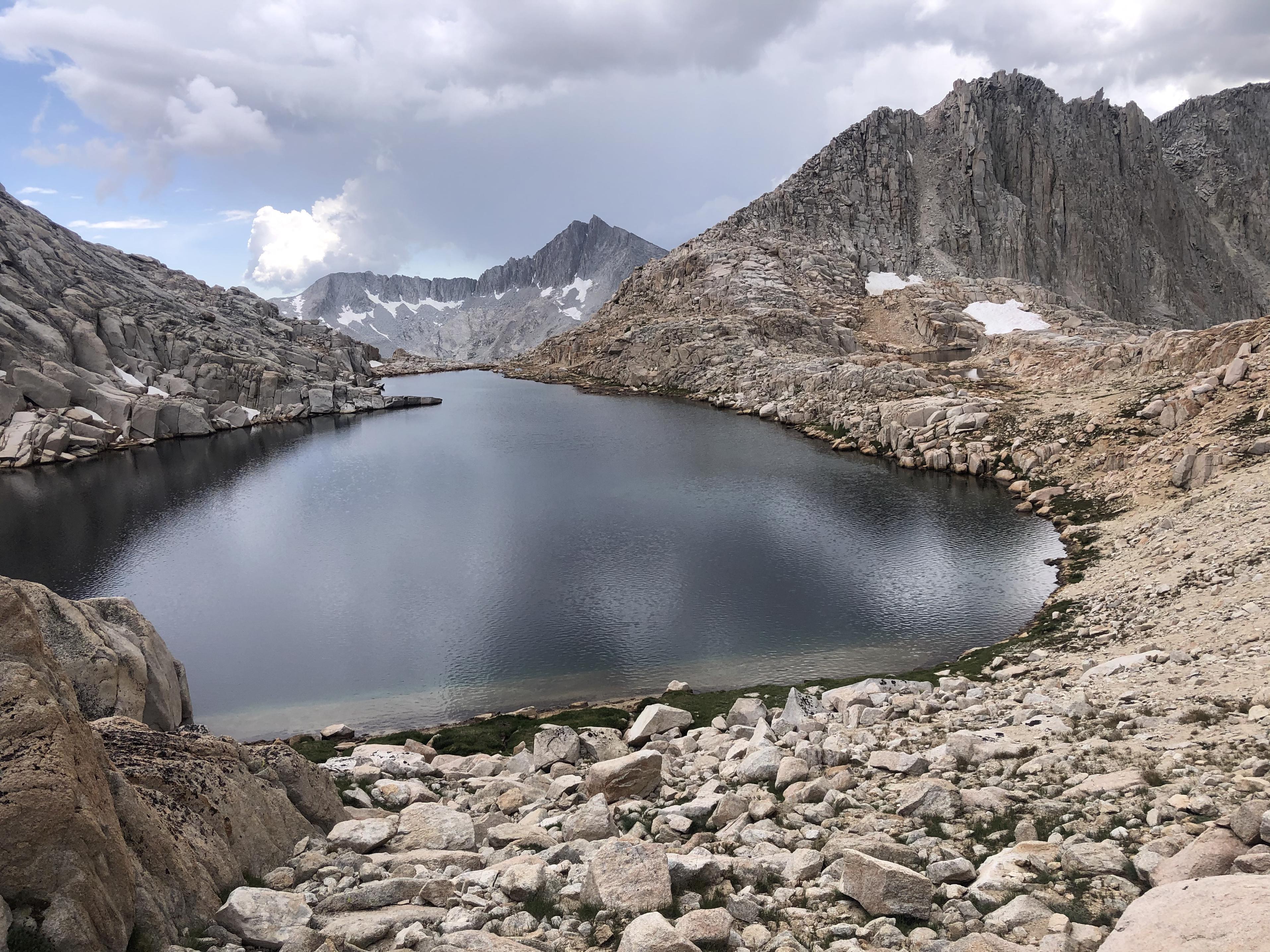
We spent a lot of time there before climbing from Ursa Lake
towards Black Bear Lake.
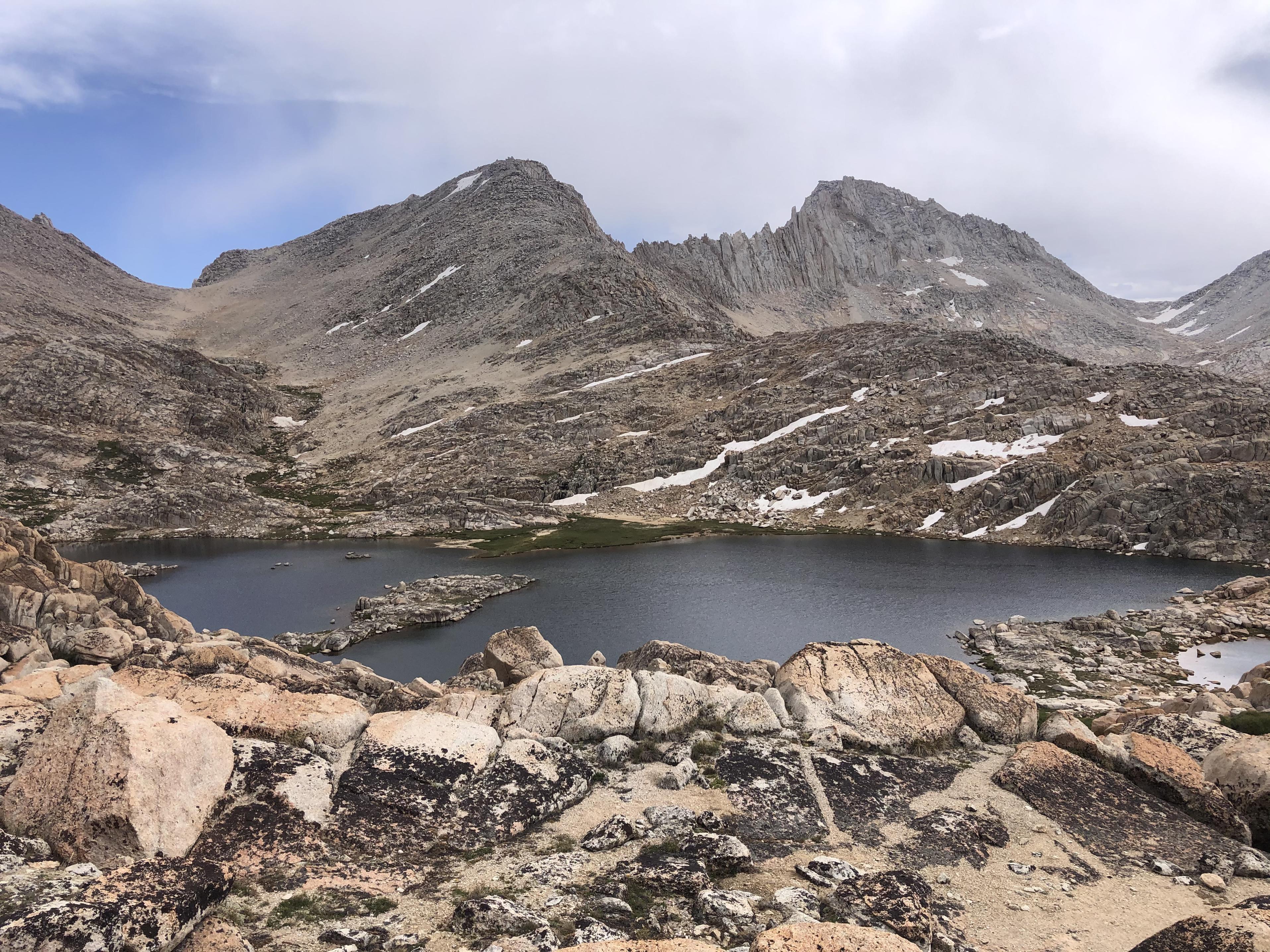
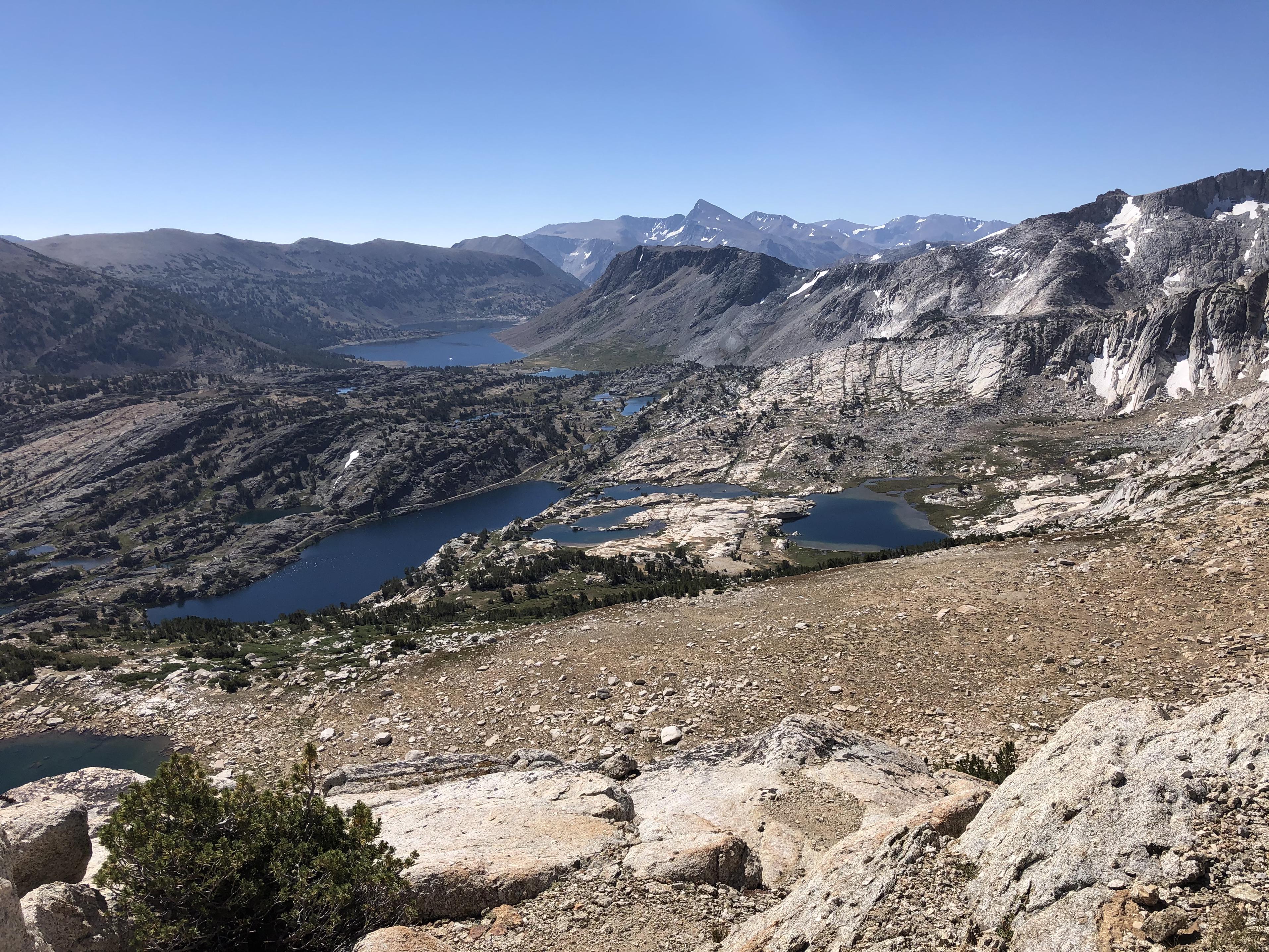
From there it was a short climb to White Bear Lake and White Bear Lake Pass which can be seen on the right of the lake.
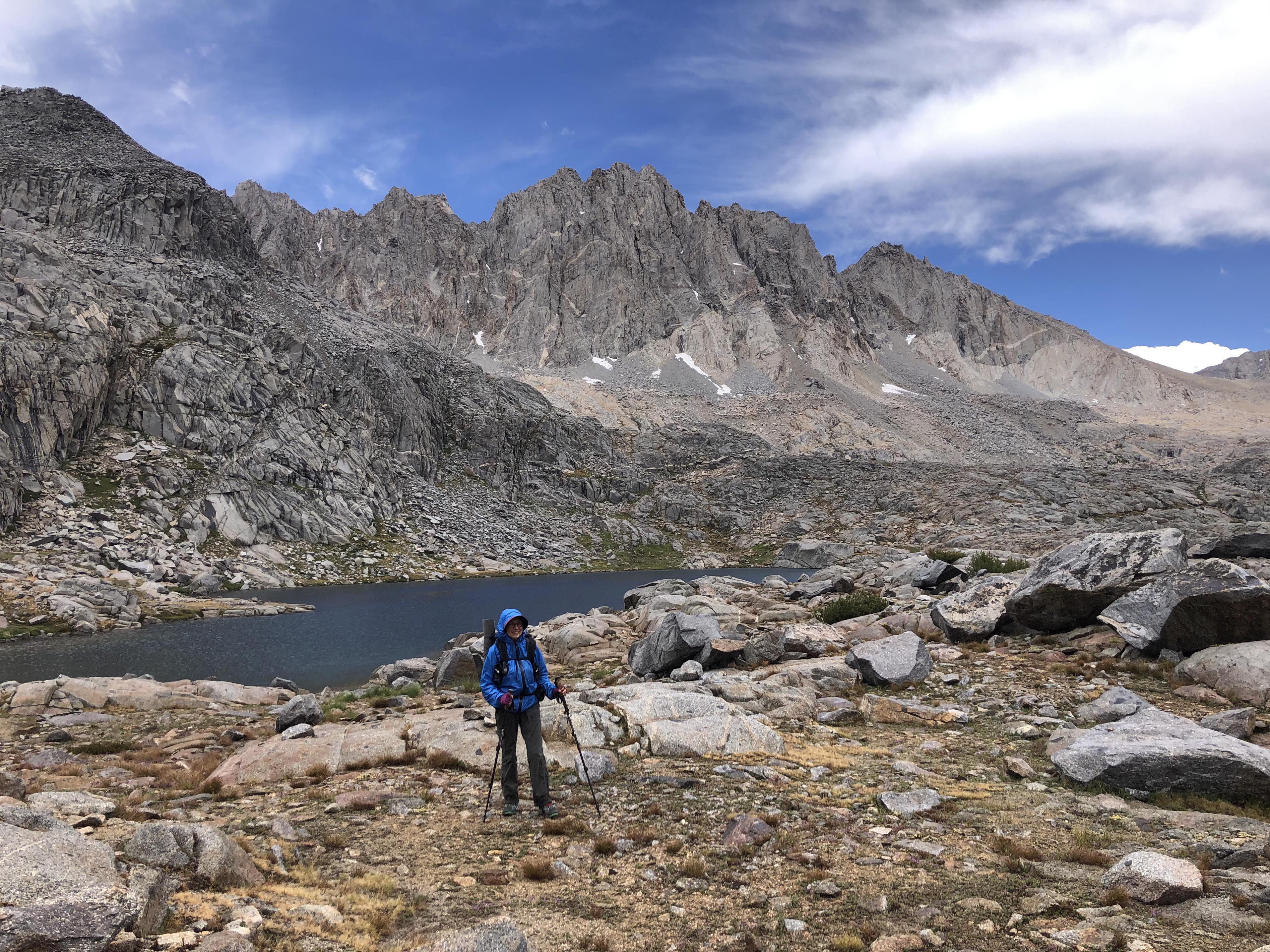
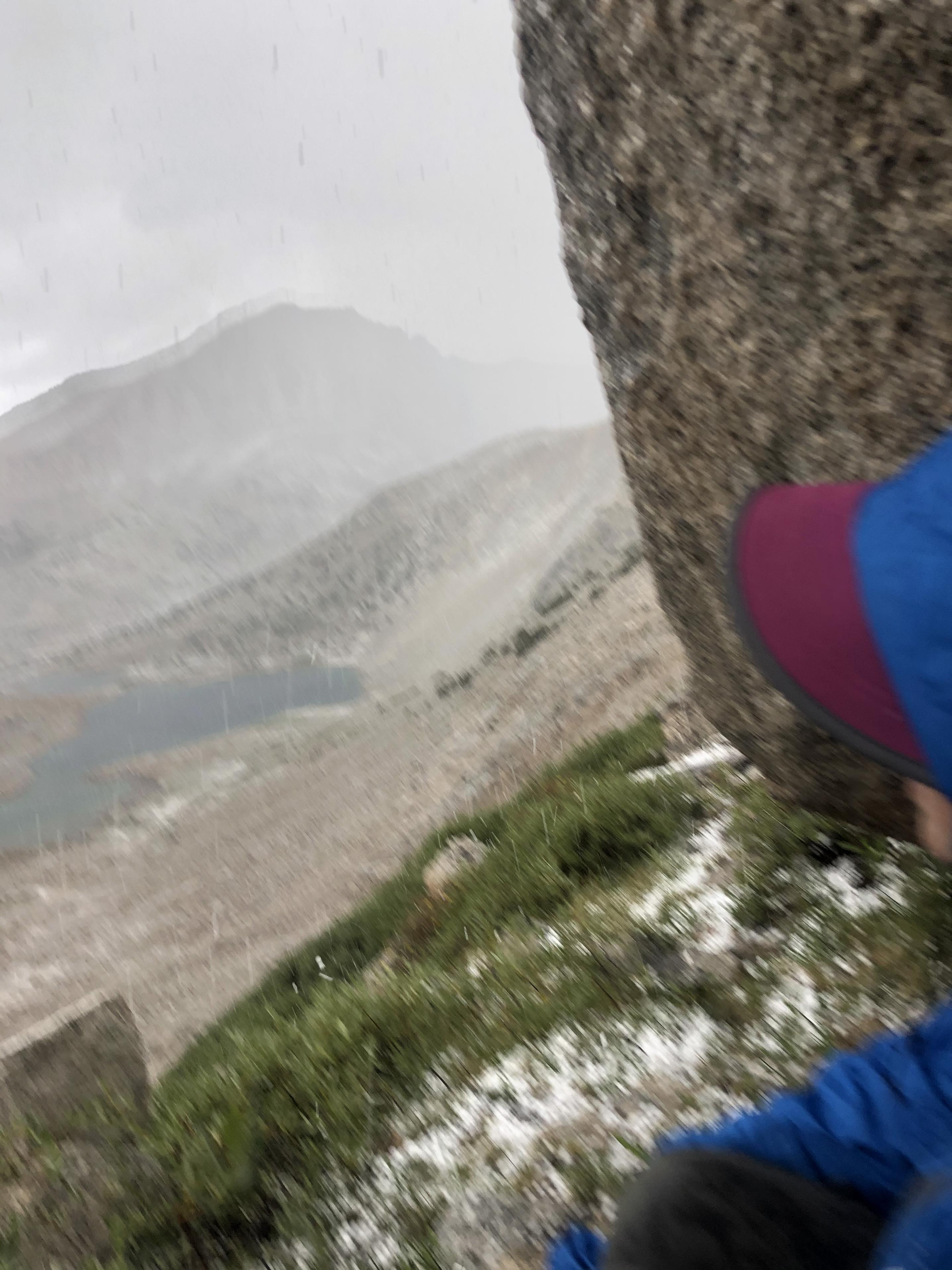
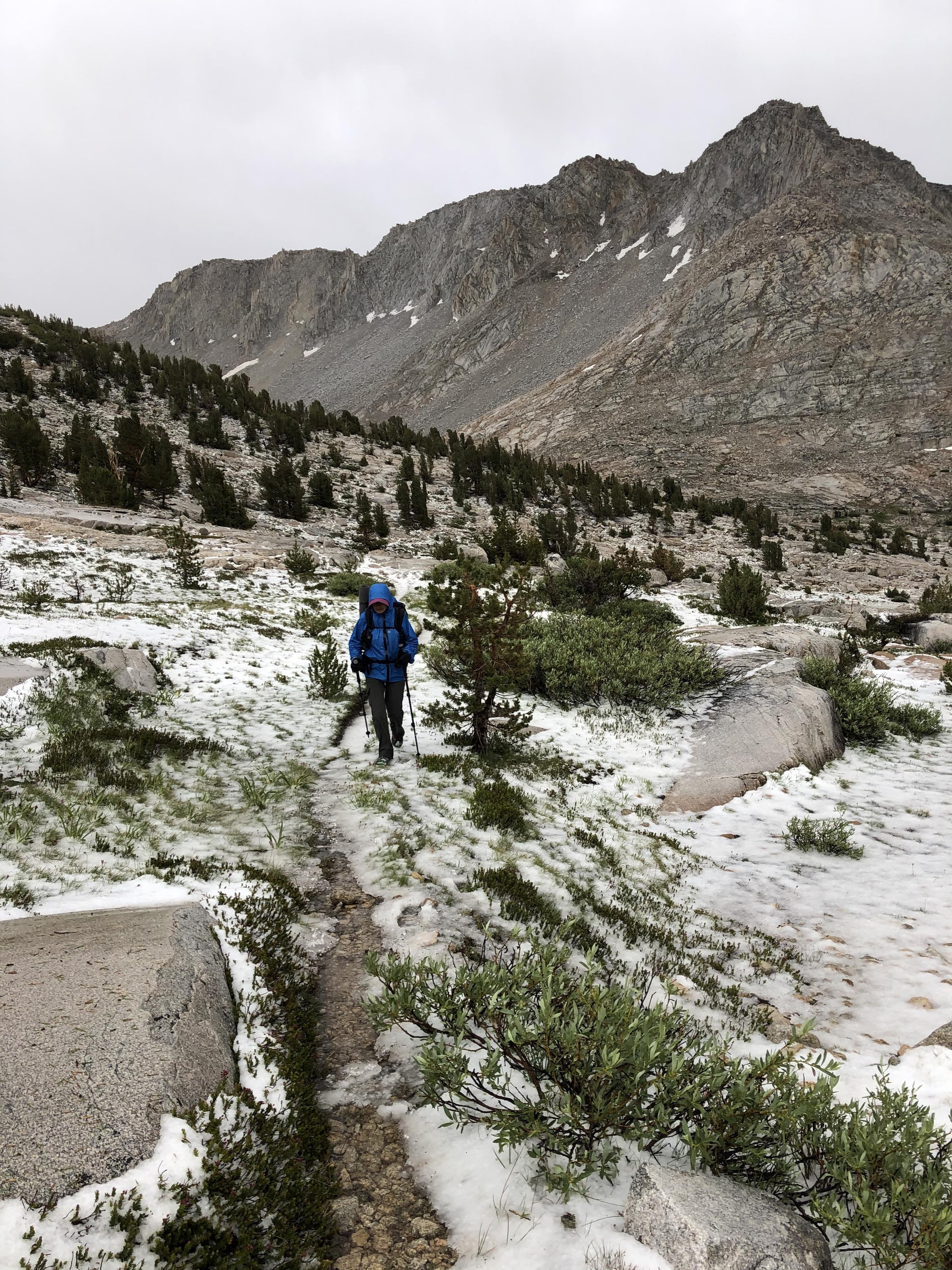
While descending from the pass we got into a thunderstorm with heavy hail the size of small grapes. We found cover under a big talus boulder and waited the storm out for almost an hour.
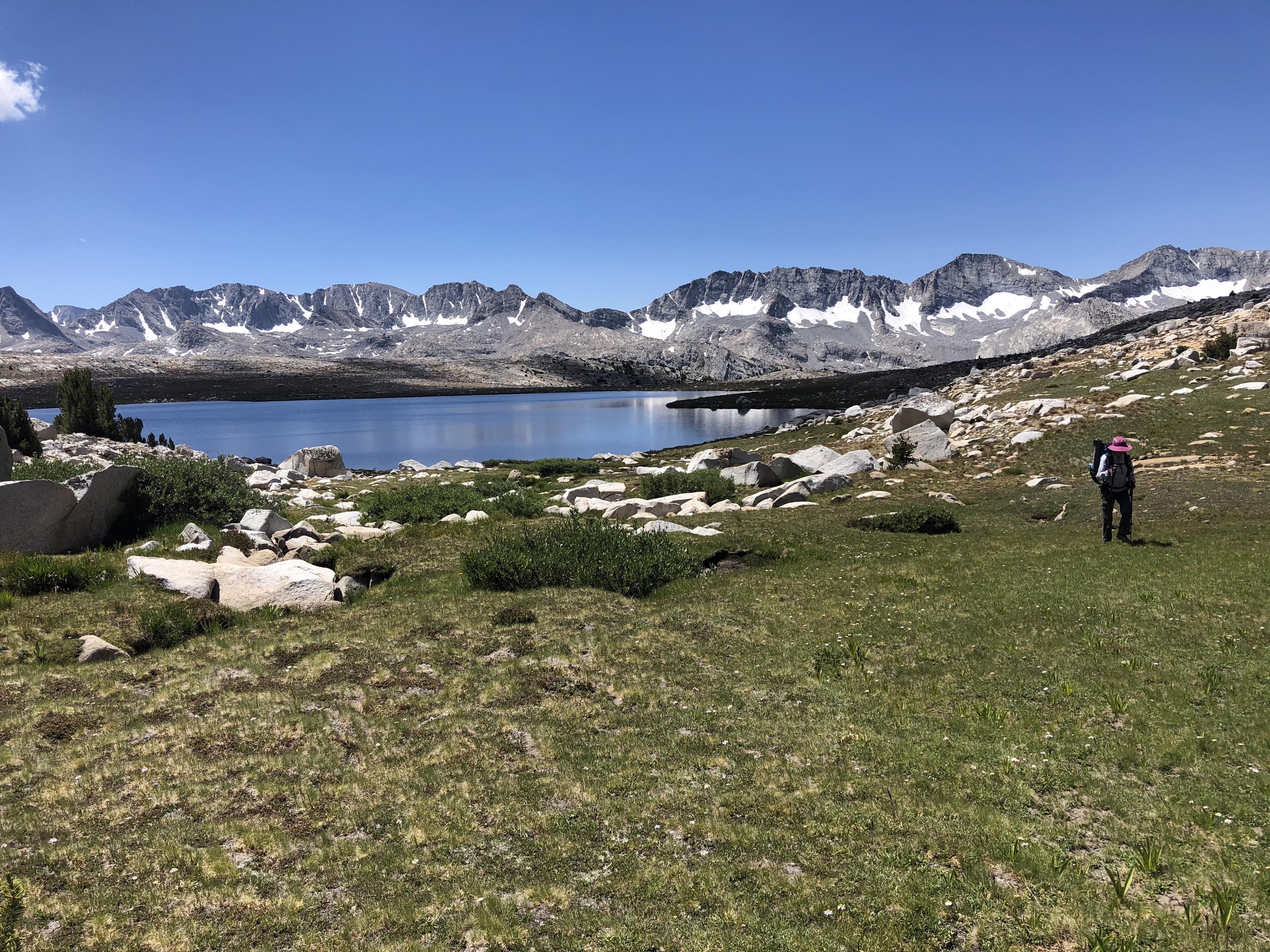
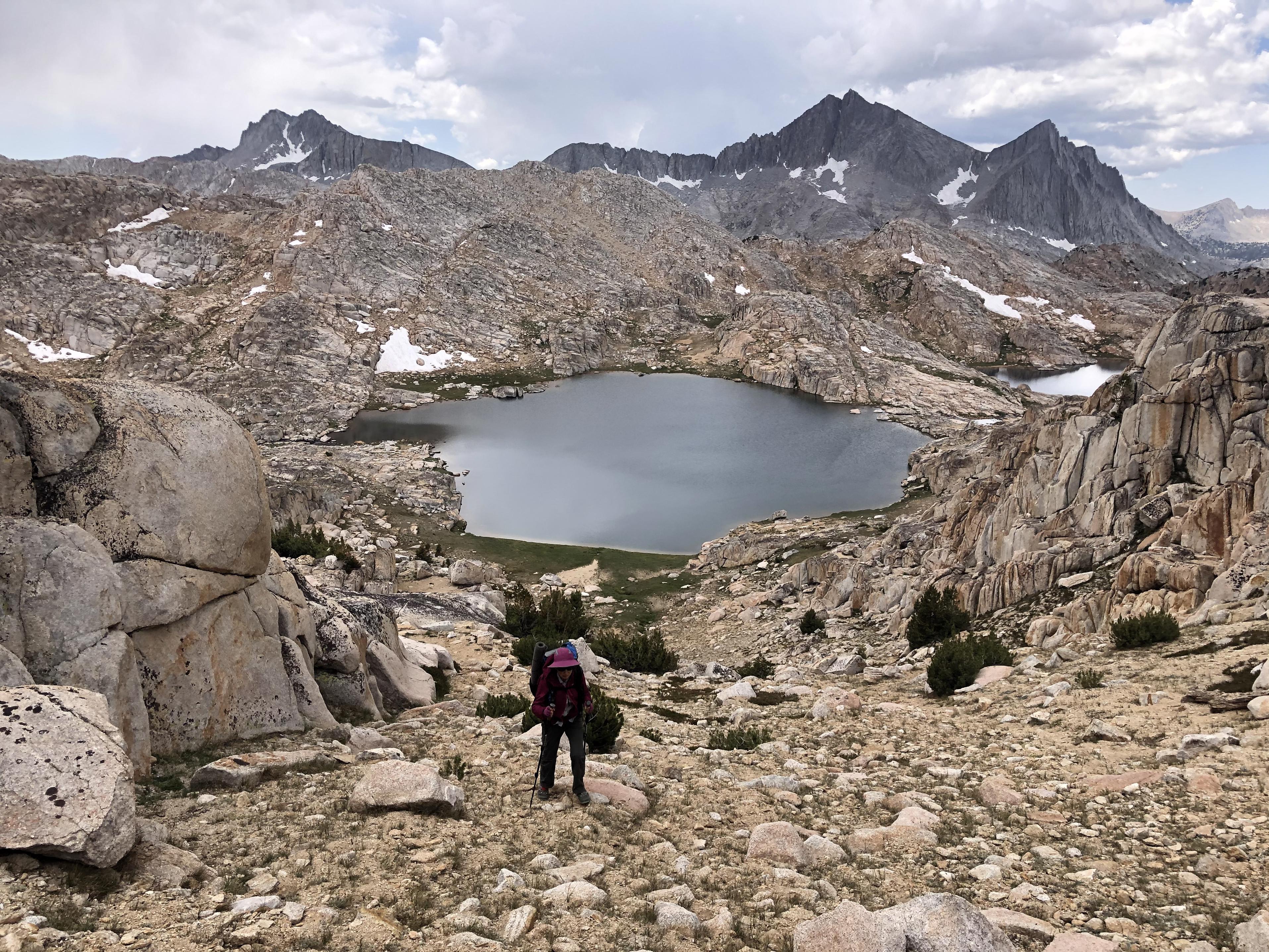
Those daily thunderstorms during our first 9 days had slowed us down and when we reached Lake Italy we decided to descend from the snow level
on Lake Italy trail
down to the JMT and pick up the SHR again the next day at Tully Hole.
Day 10: Bear Creek to Tully Hole
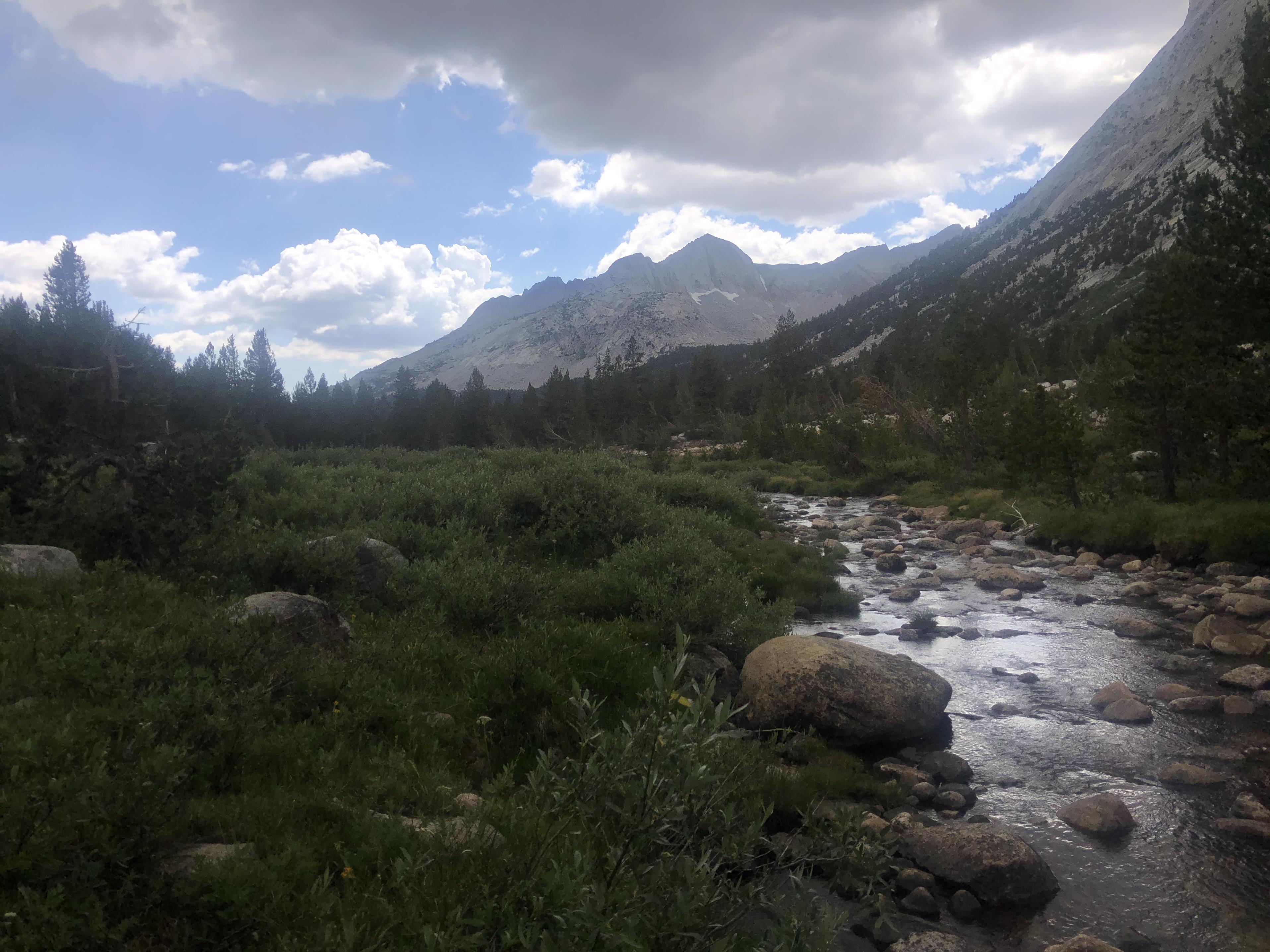
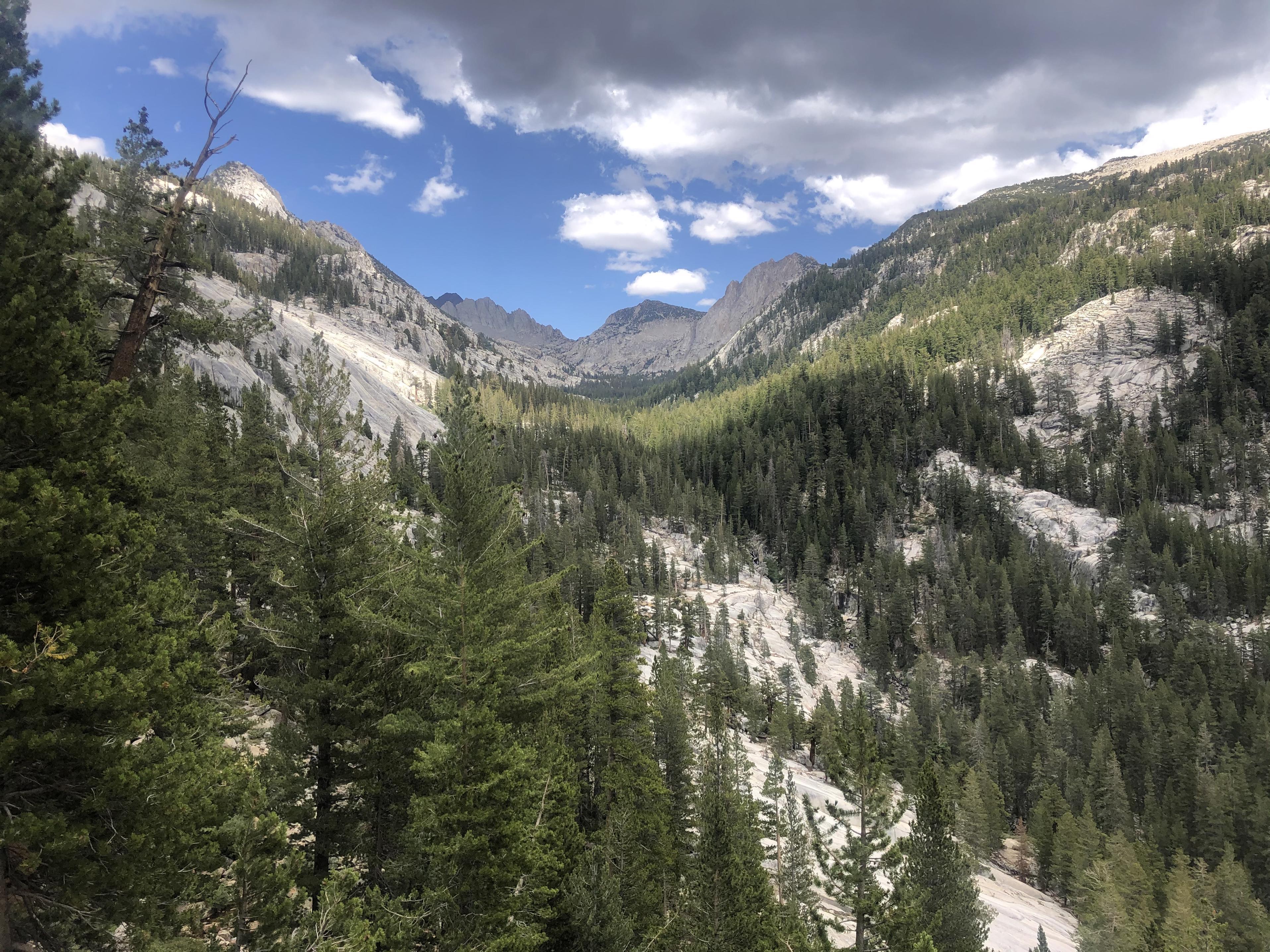
What a different world it was down there at the JMT with all the trees
As we were familiar with this stretch from last summer’s JMT trip, we advanced fast over Bear Ridge and started climbing up along Mono Creek and Silver Pass Creek from where we enjoyed great views back.
At Silver Pass Lake we once again sat out a thunderstorm for an hour before going over Silver Pass
and by Warrior Lake
on our way down to Fish Creek.
 Day 11: Tully Hole to Red’s Meadow
We were looking forward to comparing the SHR to the JMT on this stretch. The first part, climbing from Tully Hole
to Lake Virginia
and Purple Lake
is identical.
What we were looking forward to, was the route over Mammoth Crest and we were not disappointed.
After climbing to Duck Lake (with Pika Lake in the background)
 we went over Duck Pass down towards Barney Lake and Skelton Lake,
 but noticed our mistake right away and kept climbing a little to an unnamed pass to get to the Deer Lakes
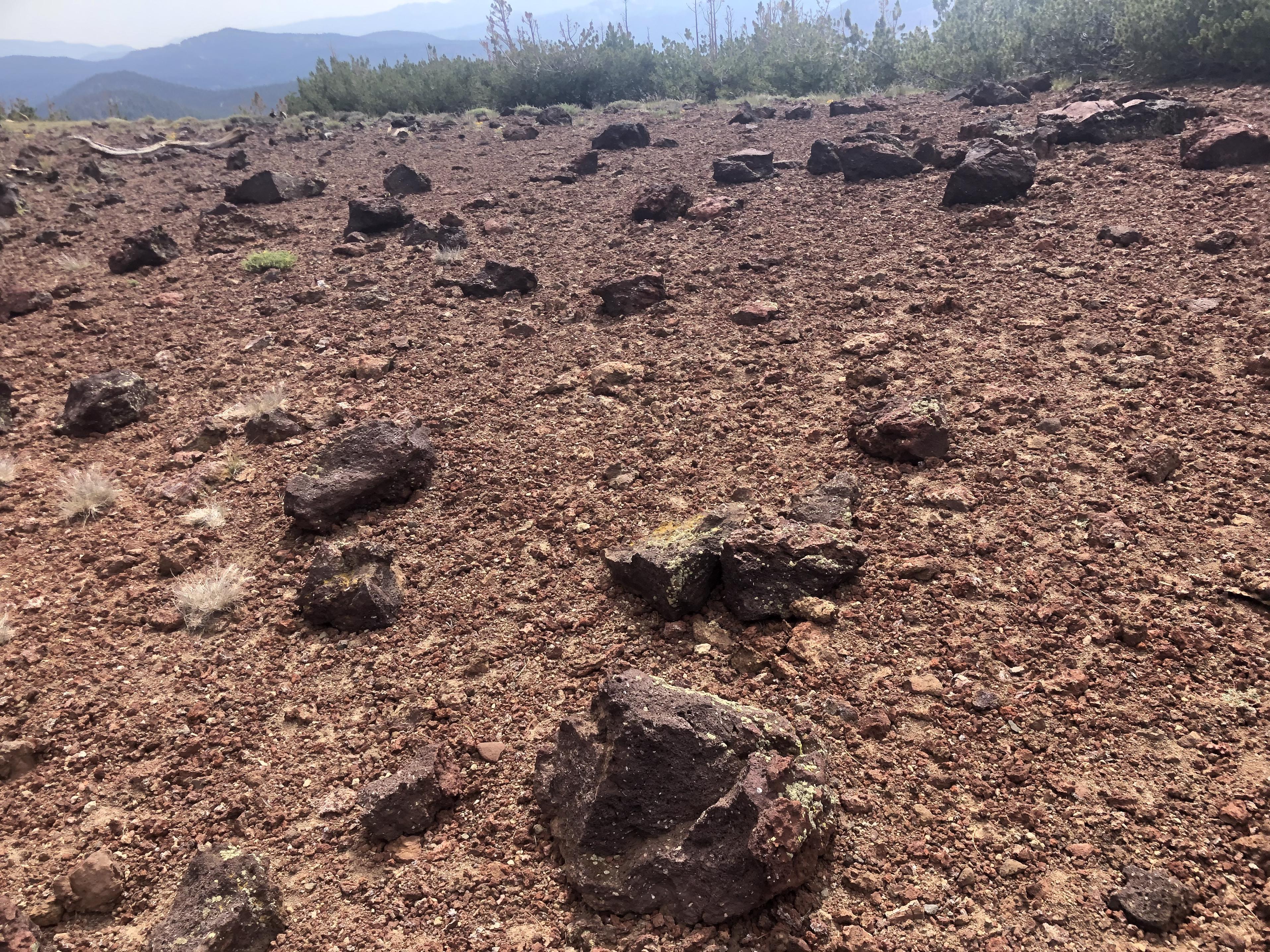
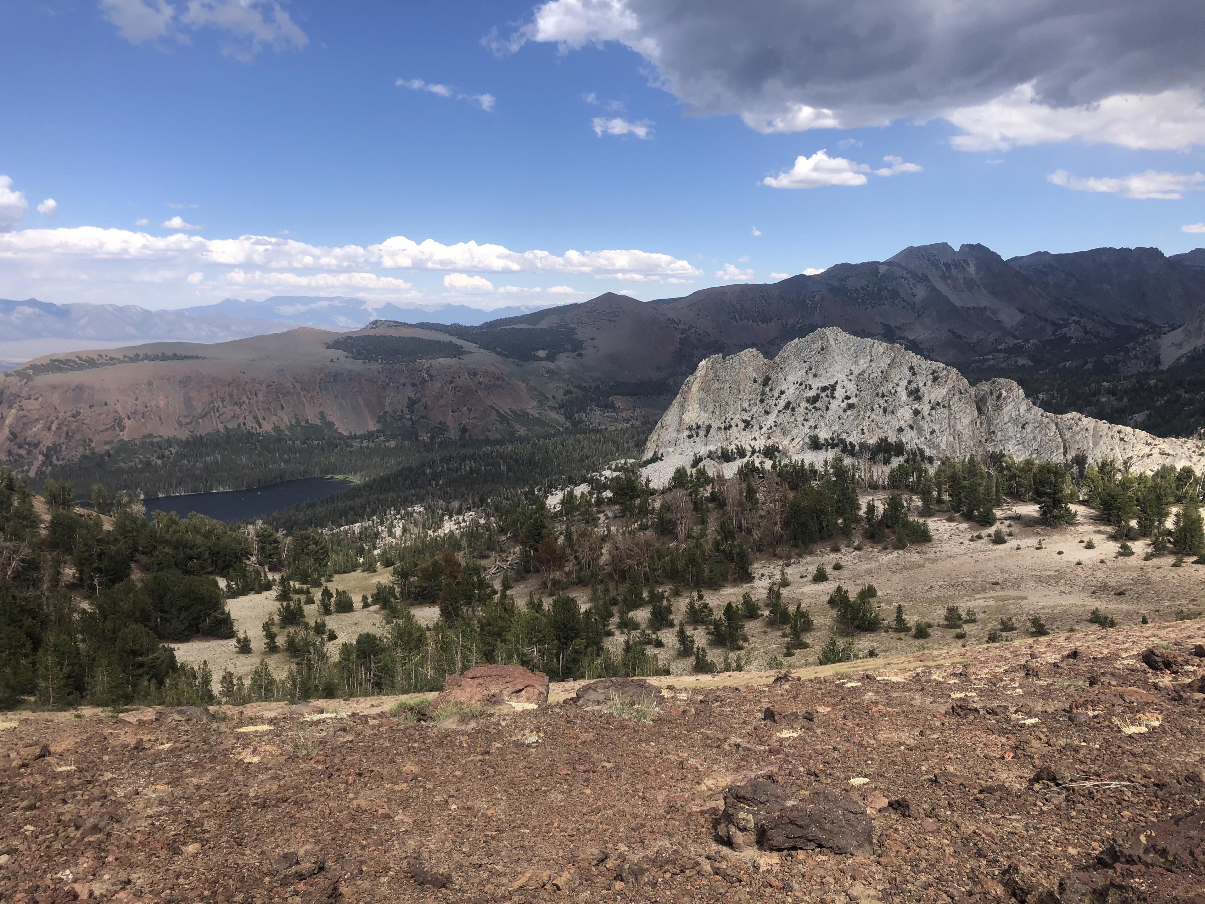
from where we climbed up to the Mammoth Crest with its interesting geological sights like these lava rocks
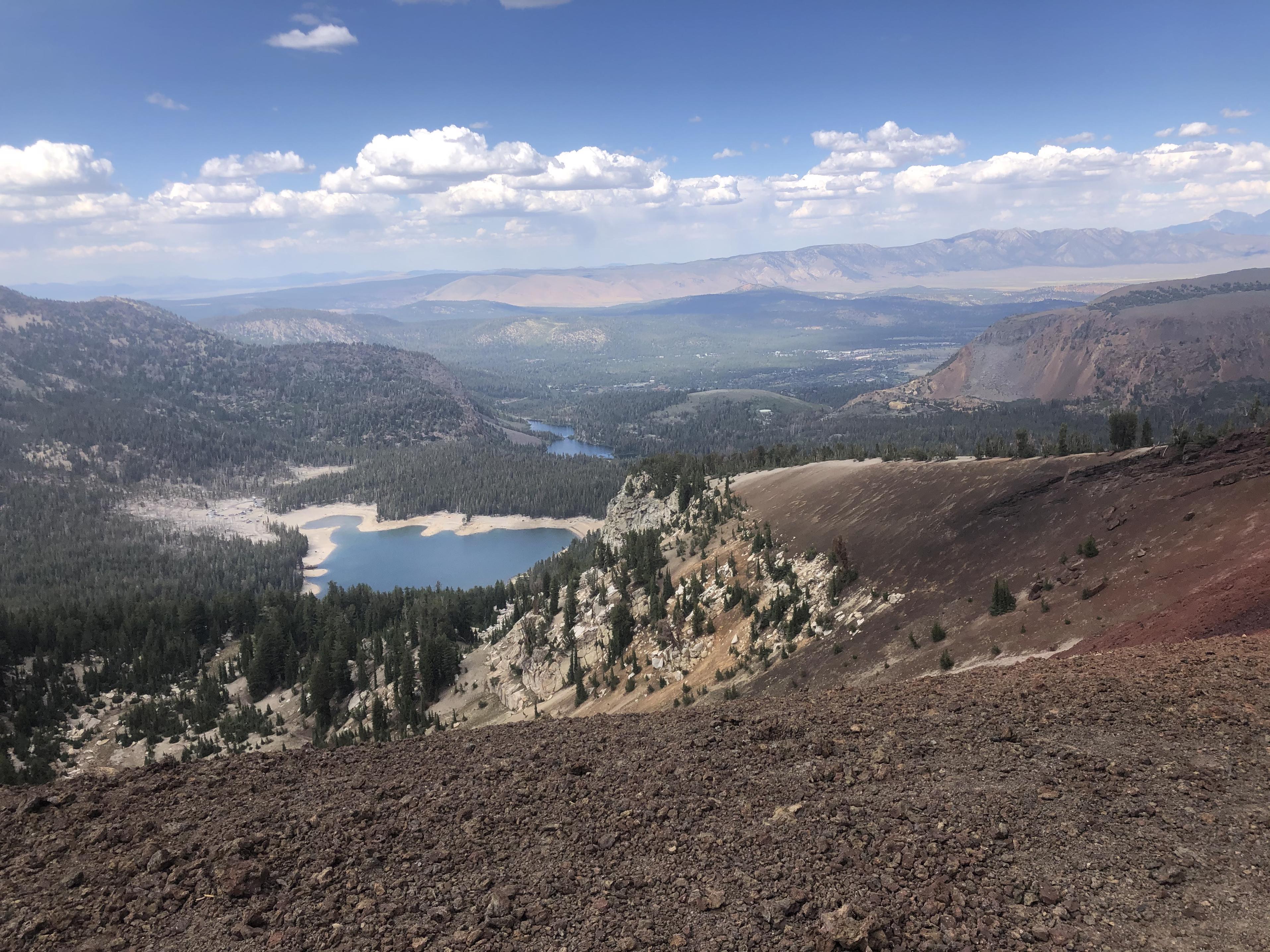
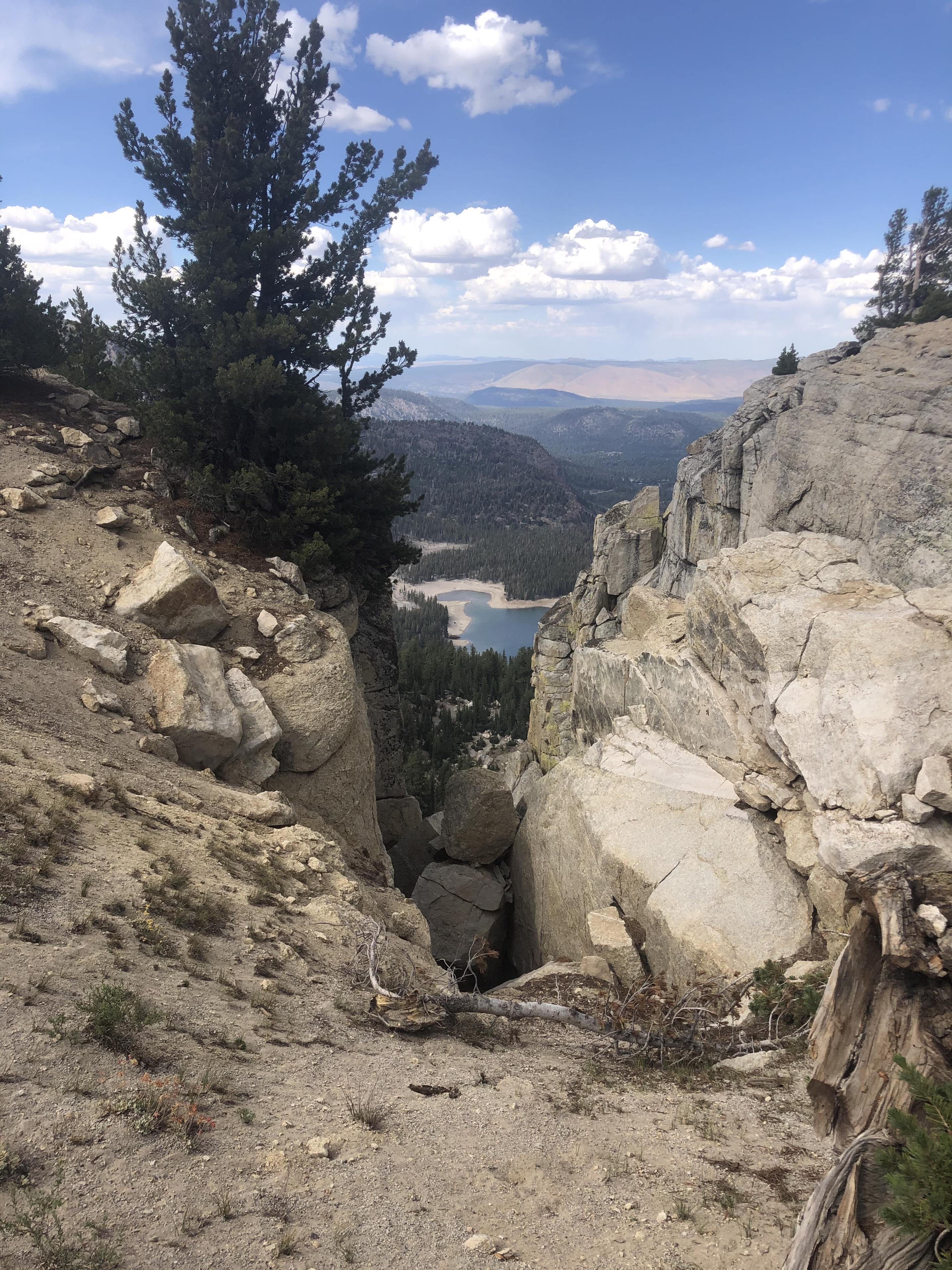
or these views down to Horseshoe Lake and the Twin Lakes.
Crystal Crag stood out
as did one of the Red Cones
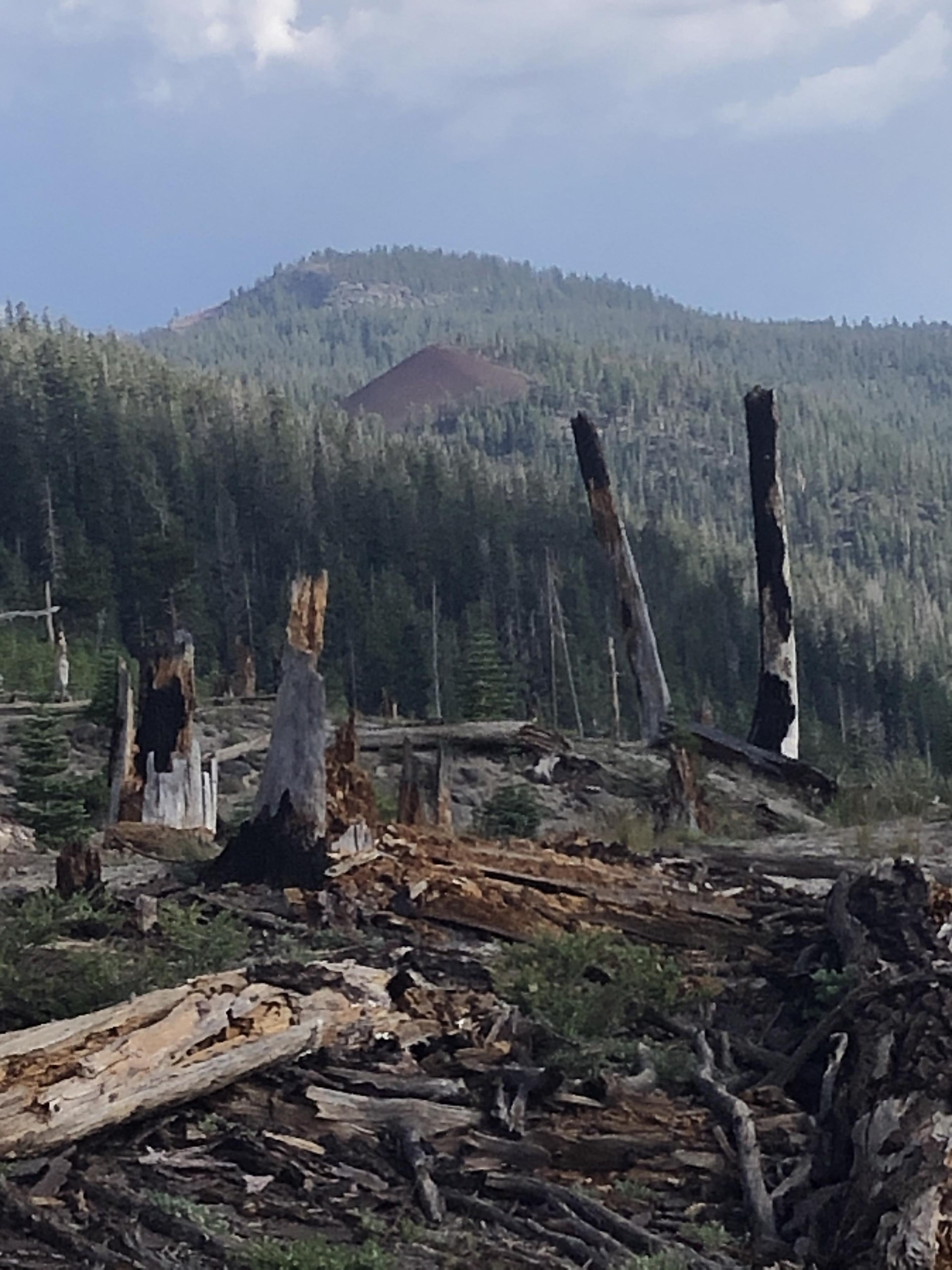
on our way through the burn area of the 1992 Rainbow Fire to Red’s Meadow. Once there, we enjoyed a dinner at the Mule House Café, took a hot shower and washed our clothes.
Day 12: Red’s Meadow to Cecile Lake
Passing by Devil’s Postpile

we hiked up to Superior Lake where we caught our lunch
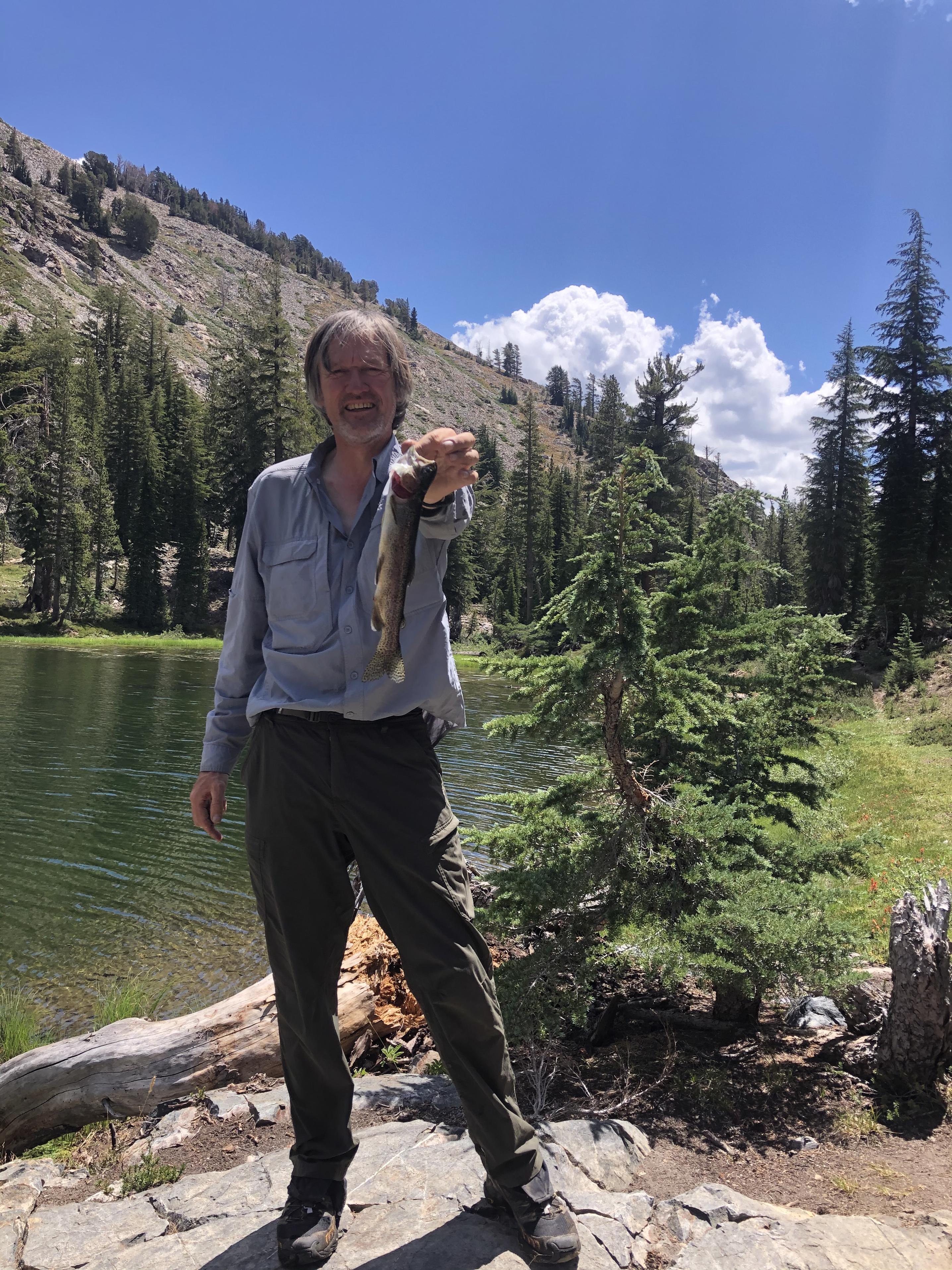
before climbing up to Nancy Pass.
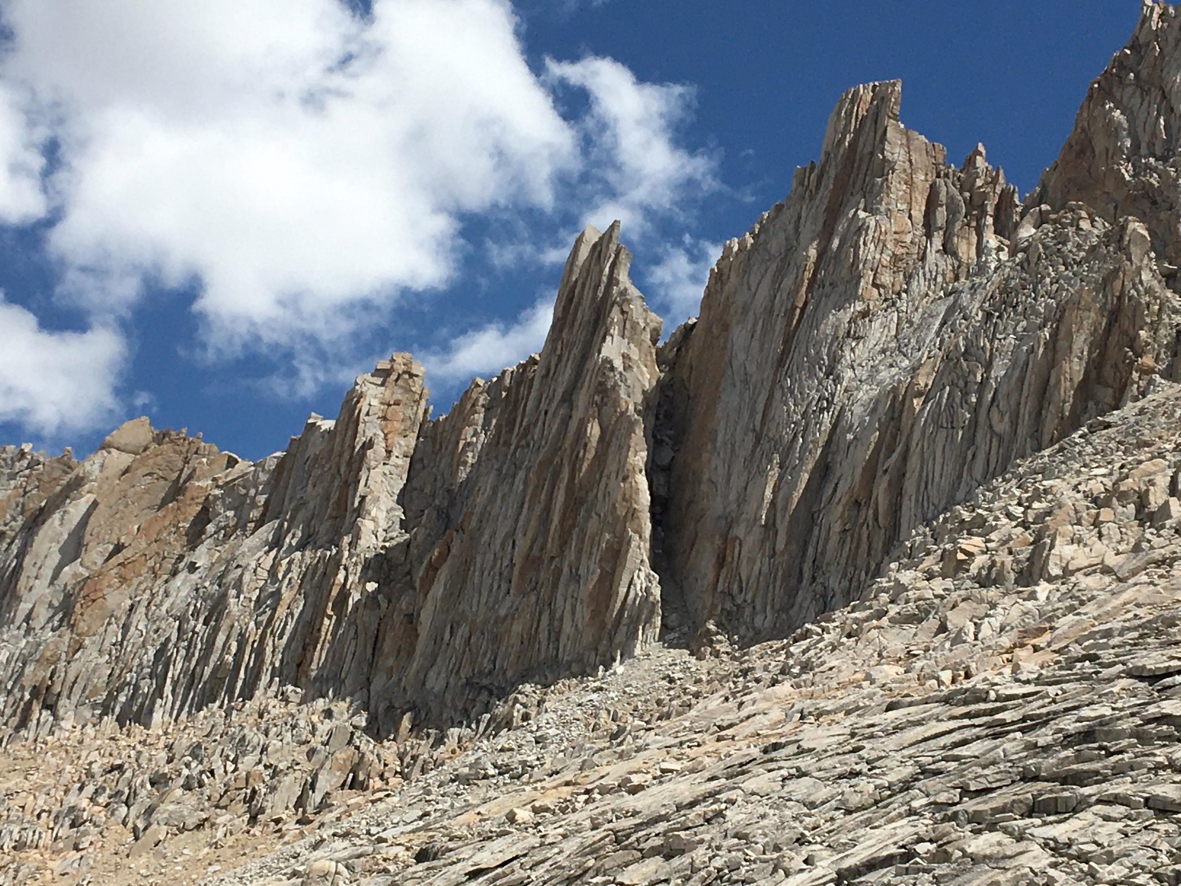
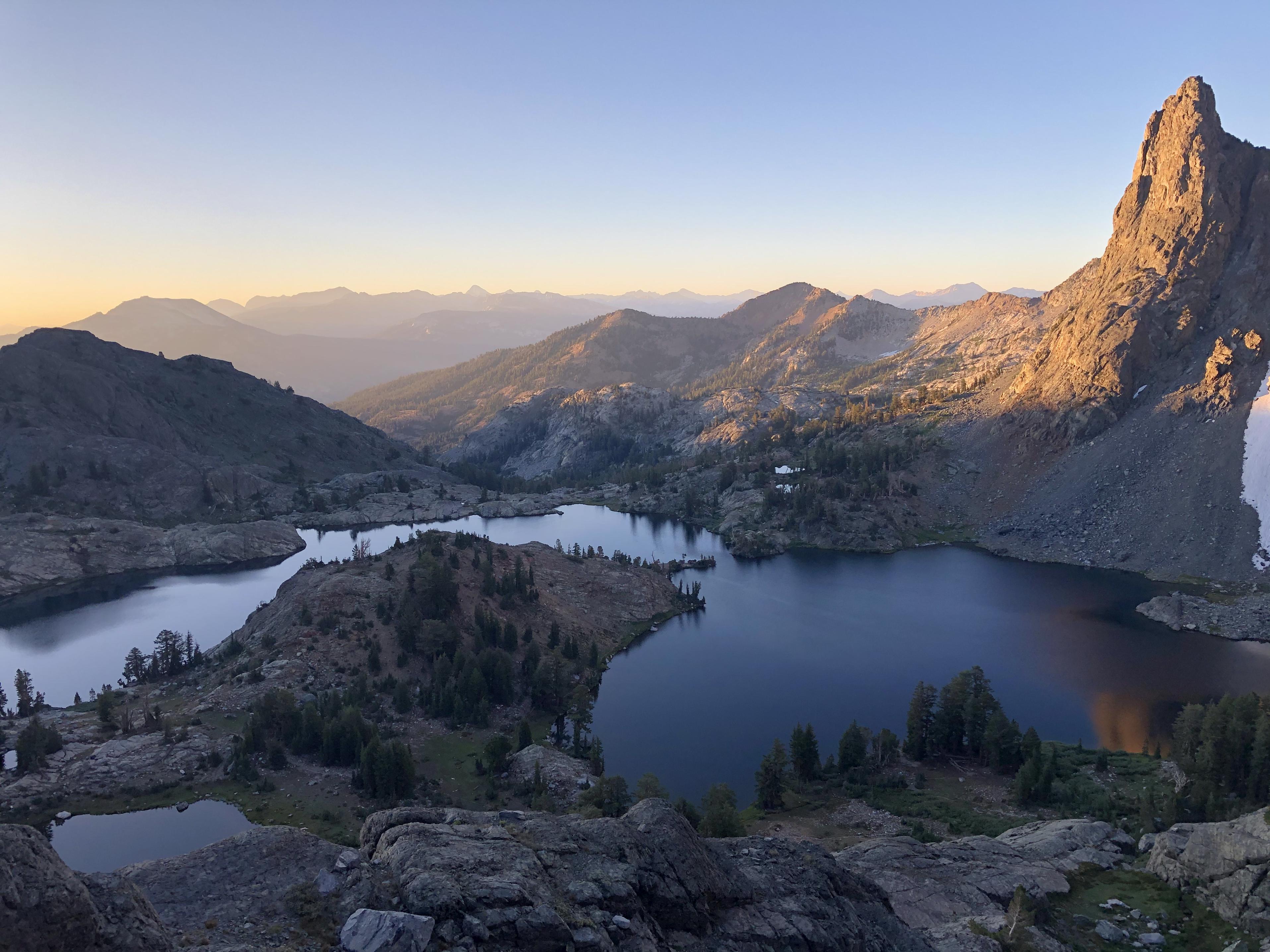
From where the Minarets became our next goal.
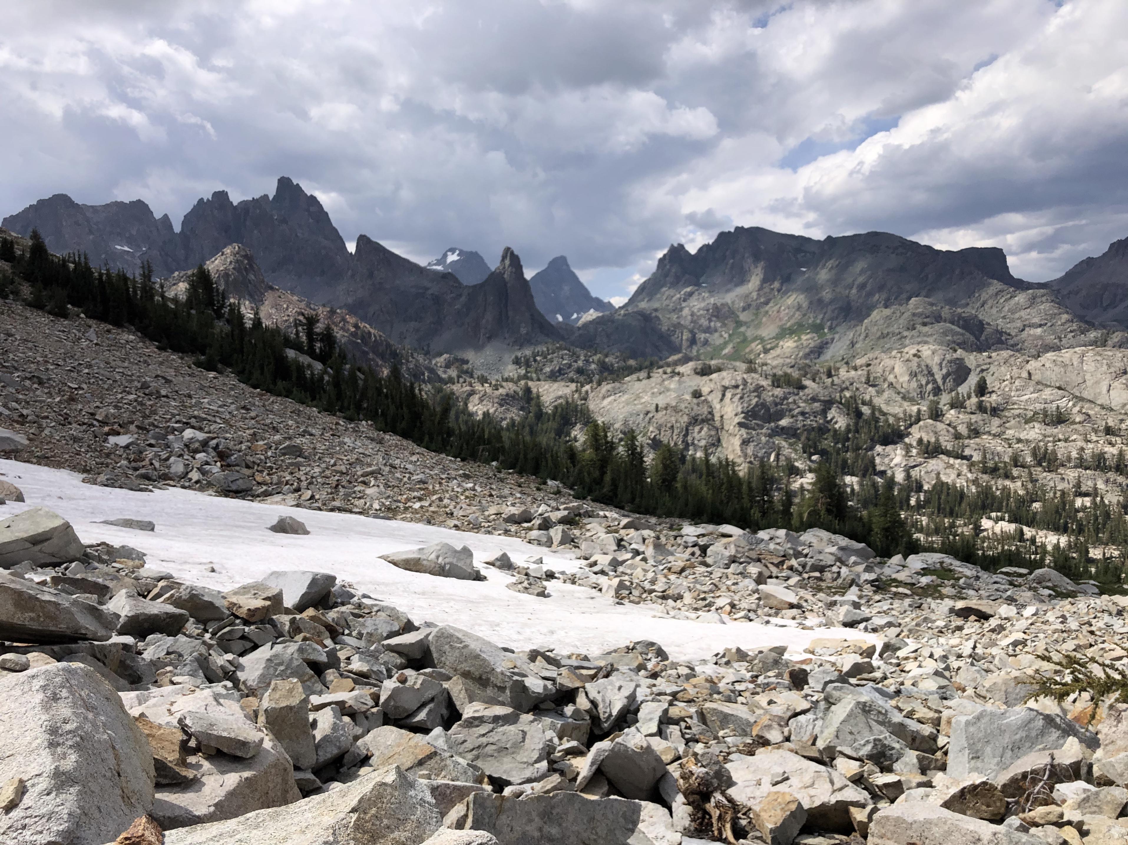
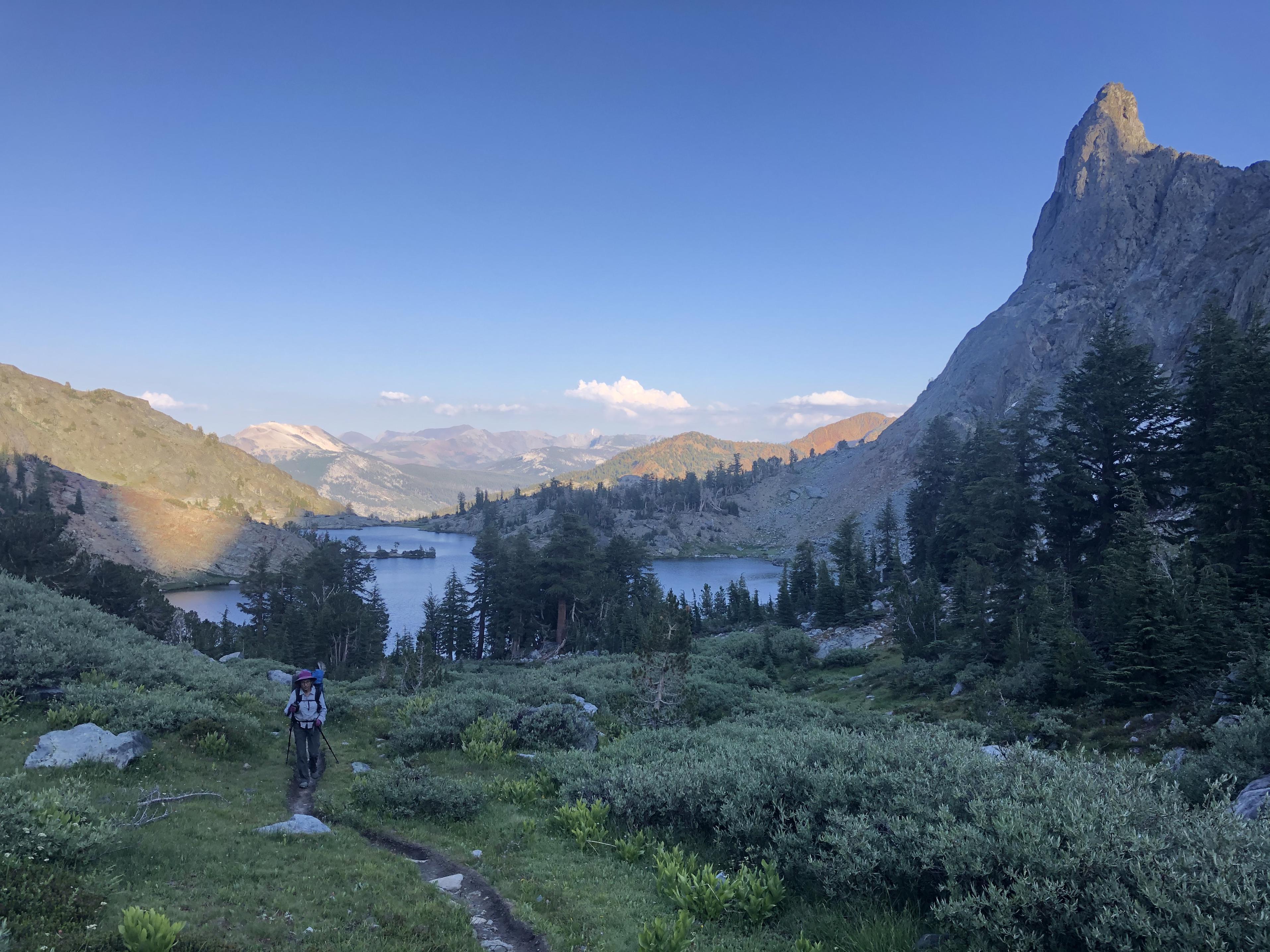
Walking along Minaret Lake seemed like a scene out of Tolkien’s Middle Earth.
Isn’t it interesting how different it looks when looking back?
 Day 13: Cecile Lake to Rush Creek
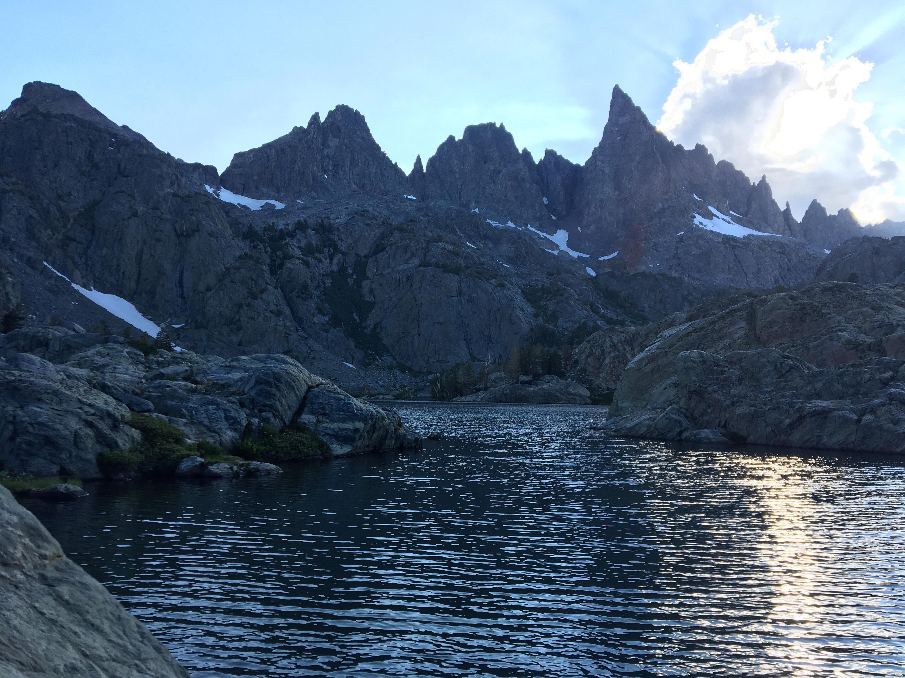
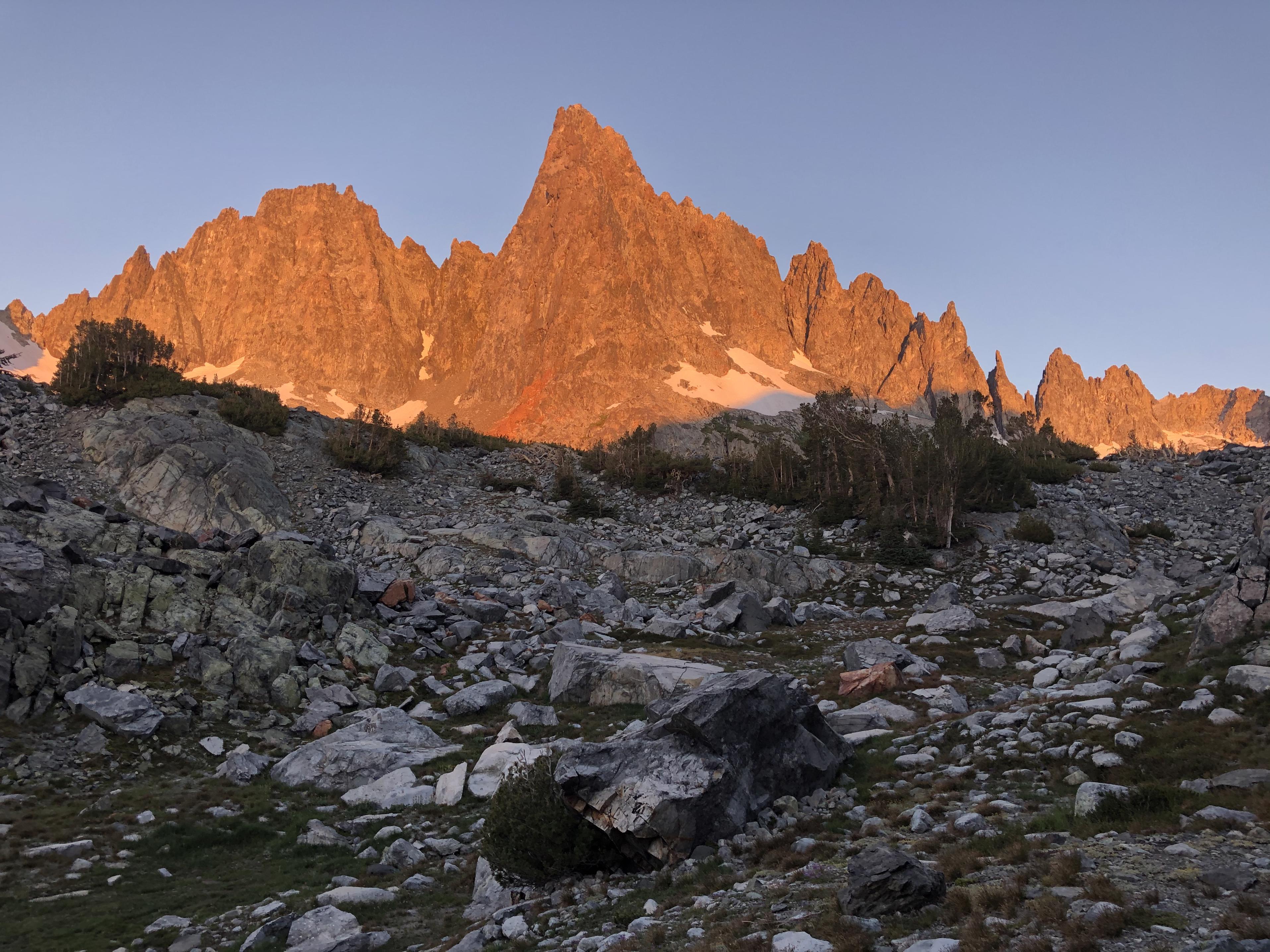
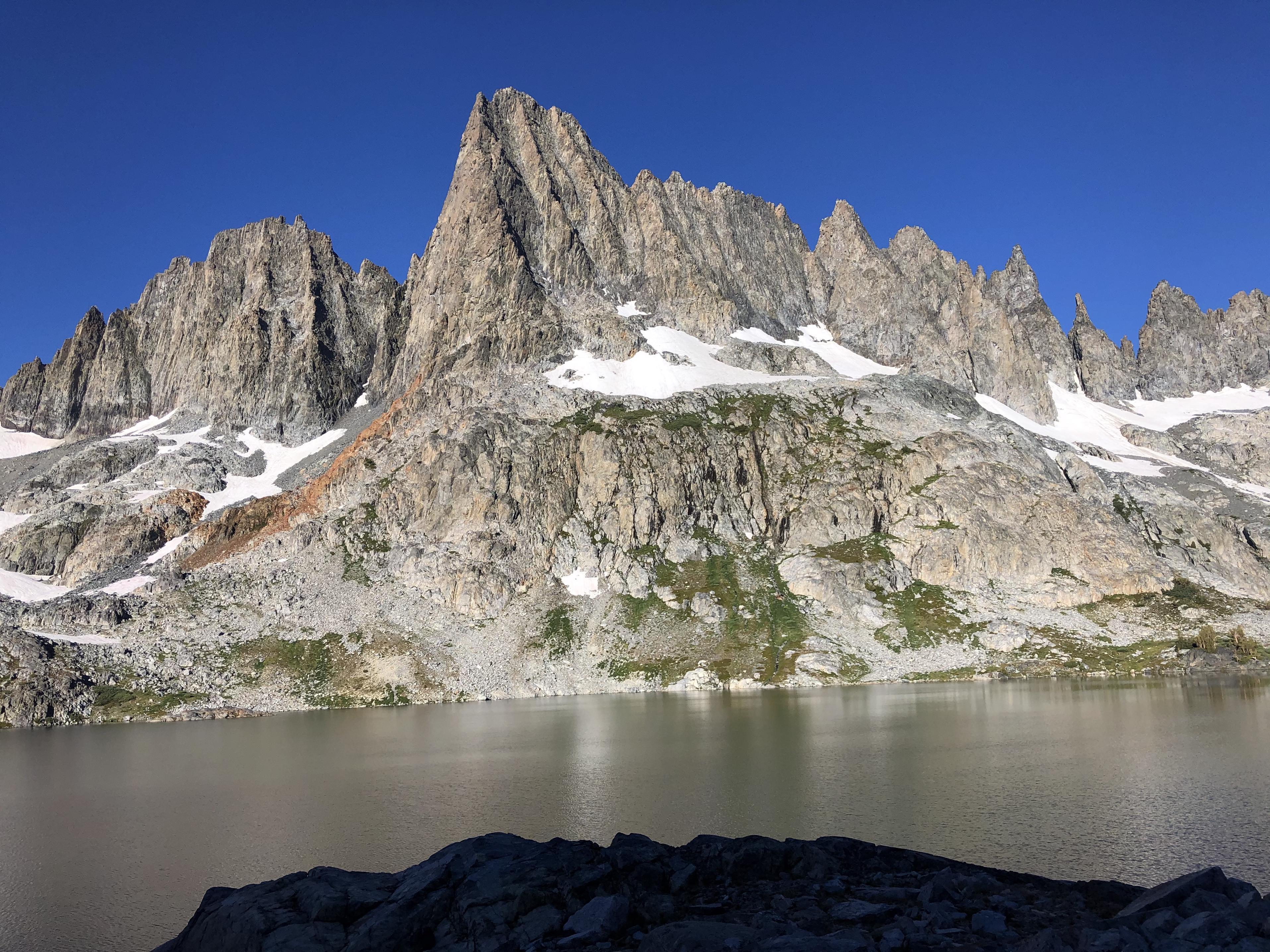
The view of the Minarets in the morning gave it once again a totally different mood.
The same was true for looking back at Minaret Lake
Now we descended all the way down to Cecile Lake
and began our descent to Iceberg Lake
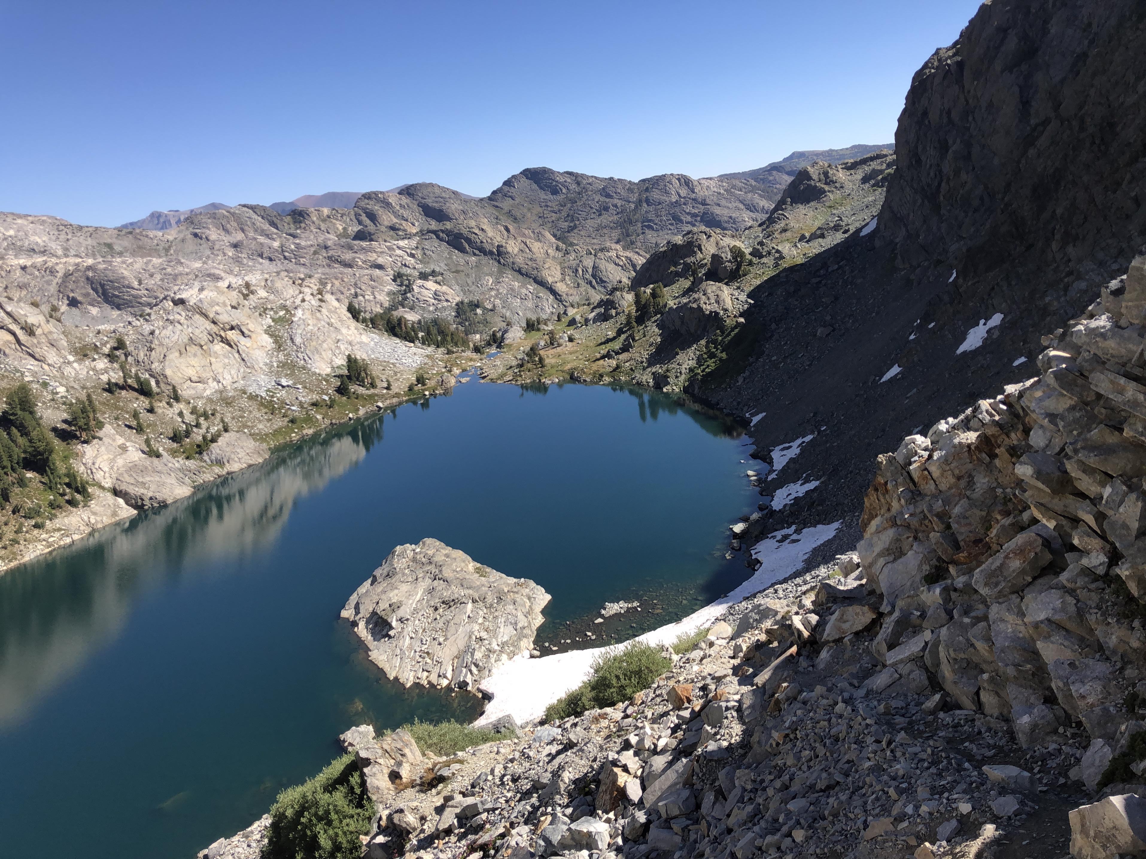
It took us way longer than anticipated as we eventually cliffed out and needed to climb all the way back to Cecile Lake before finding a suitable route down to Iceberg Lake. Lesson learned: Never follow use trails but think for yourself. Otherwise you might end up on the mountaineer’s route that exceeds your skill level.
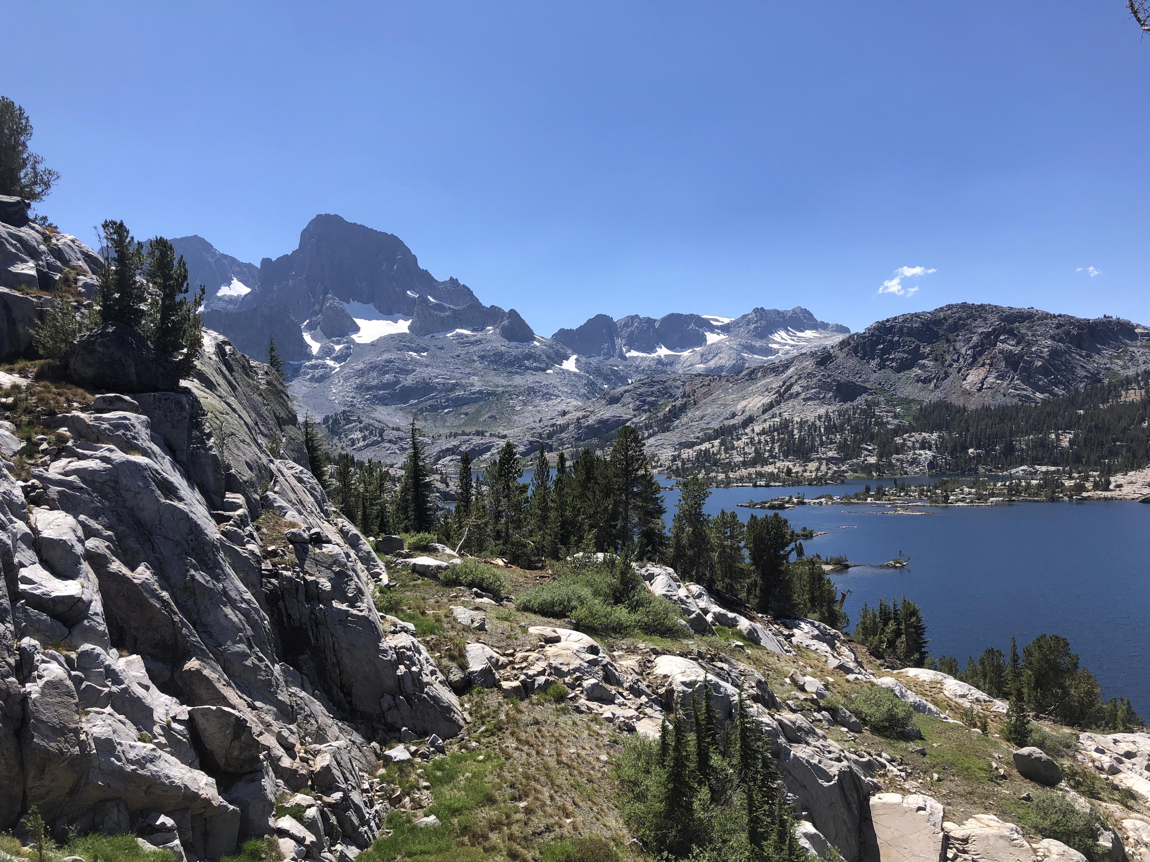
Once we reached Ediza Lake with views of Mount Ritter and Banner Peak,
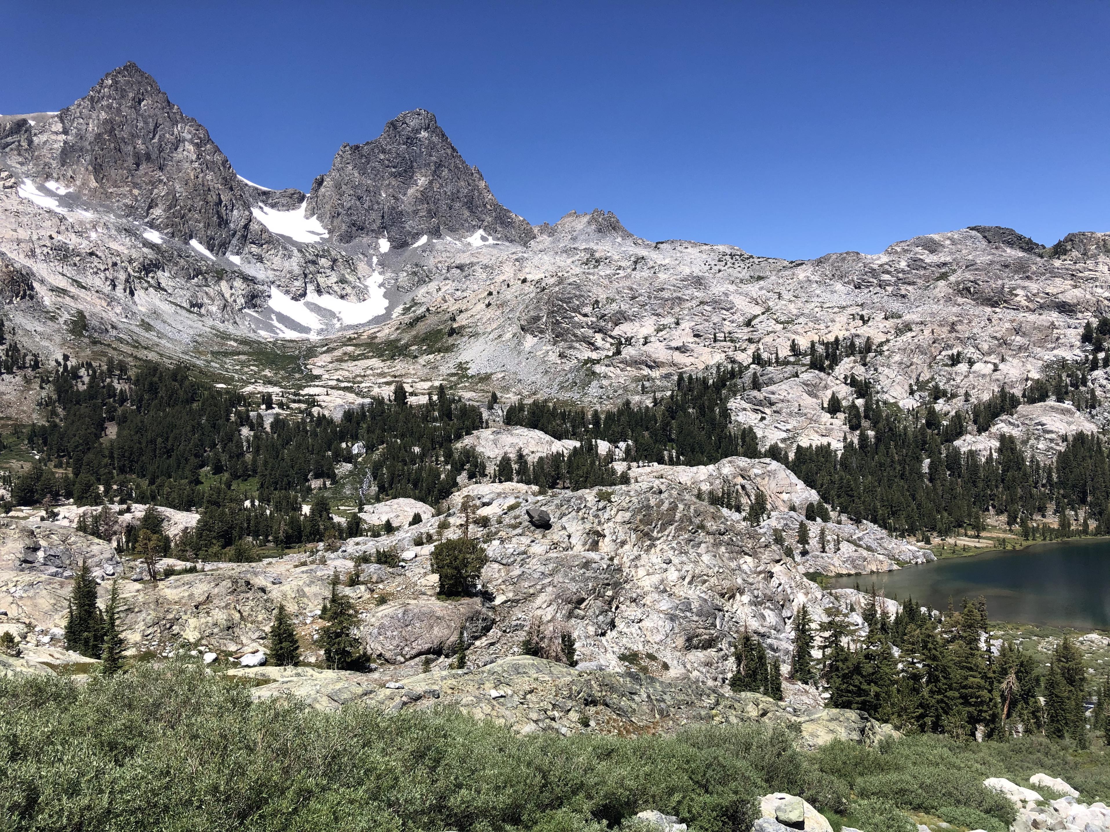
we decided to go down to Shadow Creek to use the JMT to Tuolumne Meadows instead of following the SHR to there.
Walking along Garnet Lake
and Thousand Island Lake
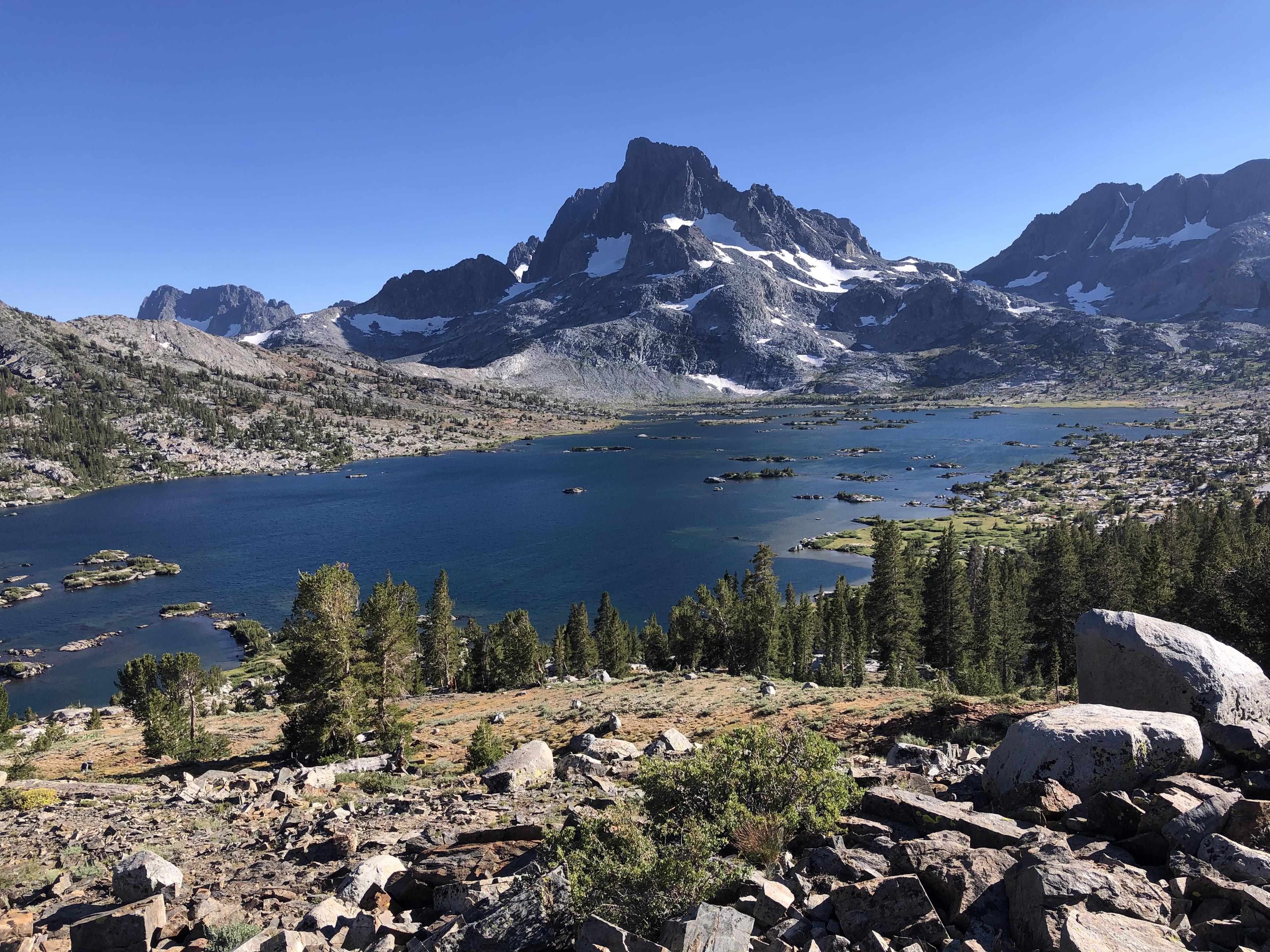
we wondered whether we should have staid on the SHR as the other side of the lakes looked so inviting. Island Pass went by fast and from Rush Creek we started our climb towards Donohue Pass before making camp.
Day 14: Rush Creek to Gaylor Lake
Going over Donohue Pass one is greeted by this great view of Lyell Canyon
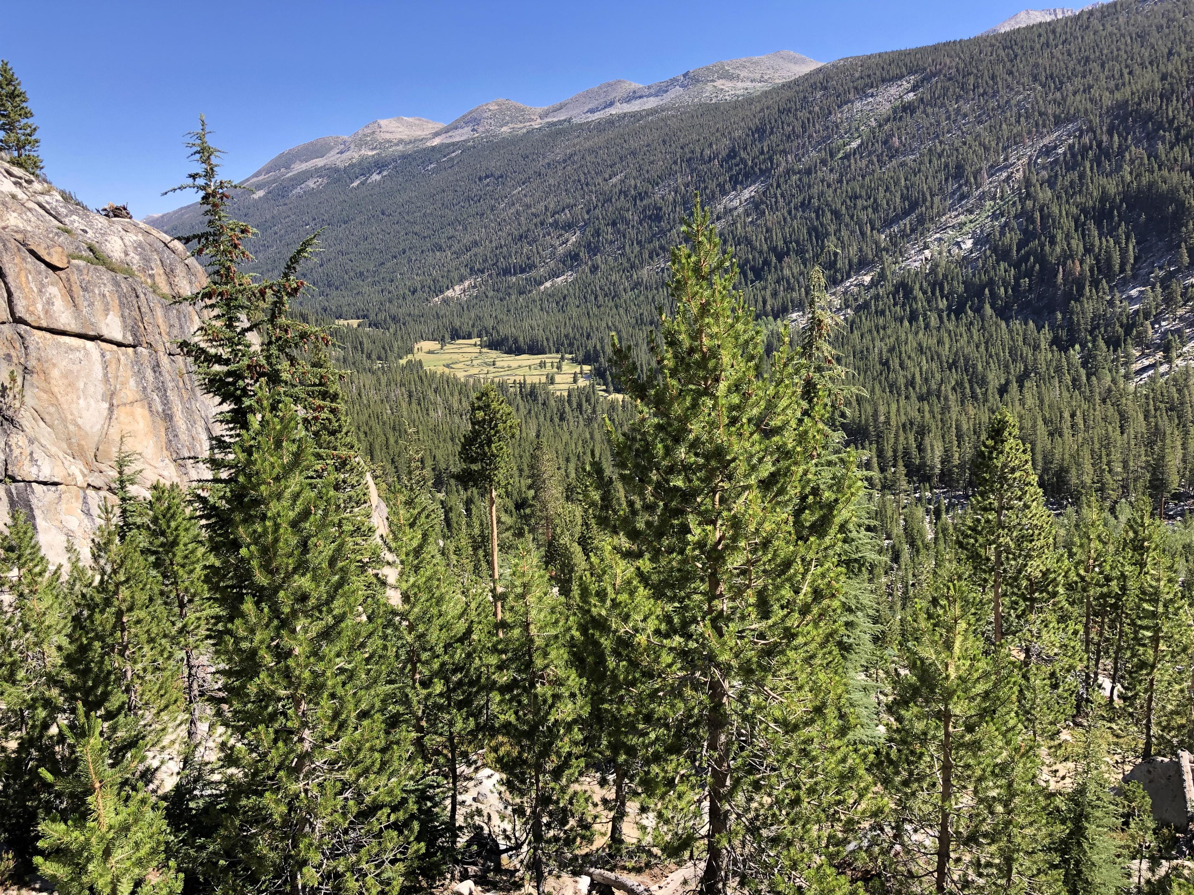
from where you can look back to Lyell Glacier.
Walking through the campground at Tuolumne Meadows was eerie. Seeing it completely deserted with all campsites empty should have been a warning to us. When we arrived at the store/post office/grill we were shocked to see — nothing. The whole building was boarded up and partially dismantled. We were stumped. After all we received a delivery confirmation from the US Post office telling us our priority mail package to the Tuolumne Post Office had been received. What would we do without our resupply?
Five other hikers were sitting at a picnic table having the exact same situation. One of them had walked to the ranger station and was told their packages are most likely at the Lee Vining post office – and that the YARTS bus would run there at 5 pm.
When thinking about it I, realized our trip would be over as we would lose at least two days if not even three days retrieving our package and getting back here. While we were all discussing why the postmaster, who received our packages didn’t send us a post card, why there is nothing posted on the building letting people know where to get their packages, etc. I had an idea.
The other five hikers had already decided to take the bus to Lee Vining, so I asked them whether they would be willing to sell us their remaining food. They looked at me in disbelief, but everyone dug out their bear canisters. There were several remaining Mountain House meals, Nuun tablets, a packaged cookie, etc. Everything together was just enough to save our trip. When I wanted to pay, everyone declined with a smile. They were happy to help us finish the last three days of the Sierra High Route and that was enough for them. Just experiencing that level of kindness in the backpacking community makes those trips so worth it – especially in today’s times.
Now we continued on through Tuolumne Meadows
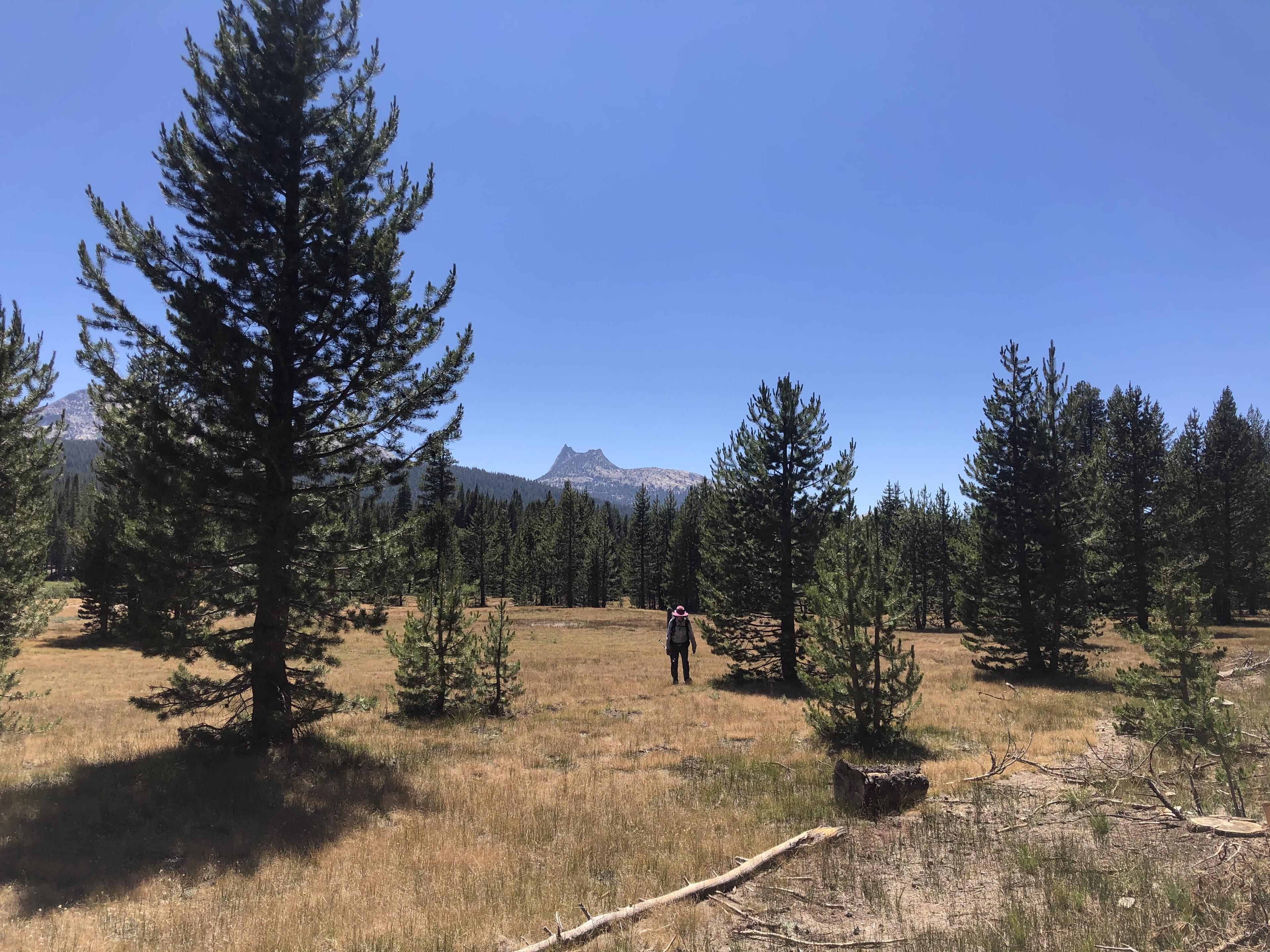
towards Gaylor Lakes where we slept once again under the stars.
Day 15: Gaylor Lakes to Secret Lake
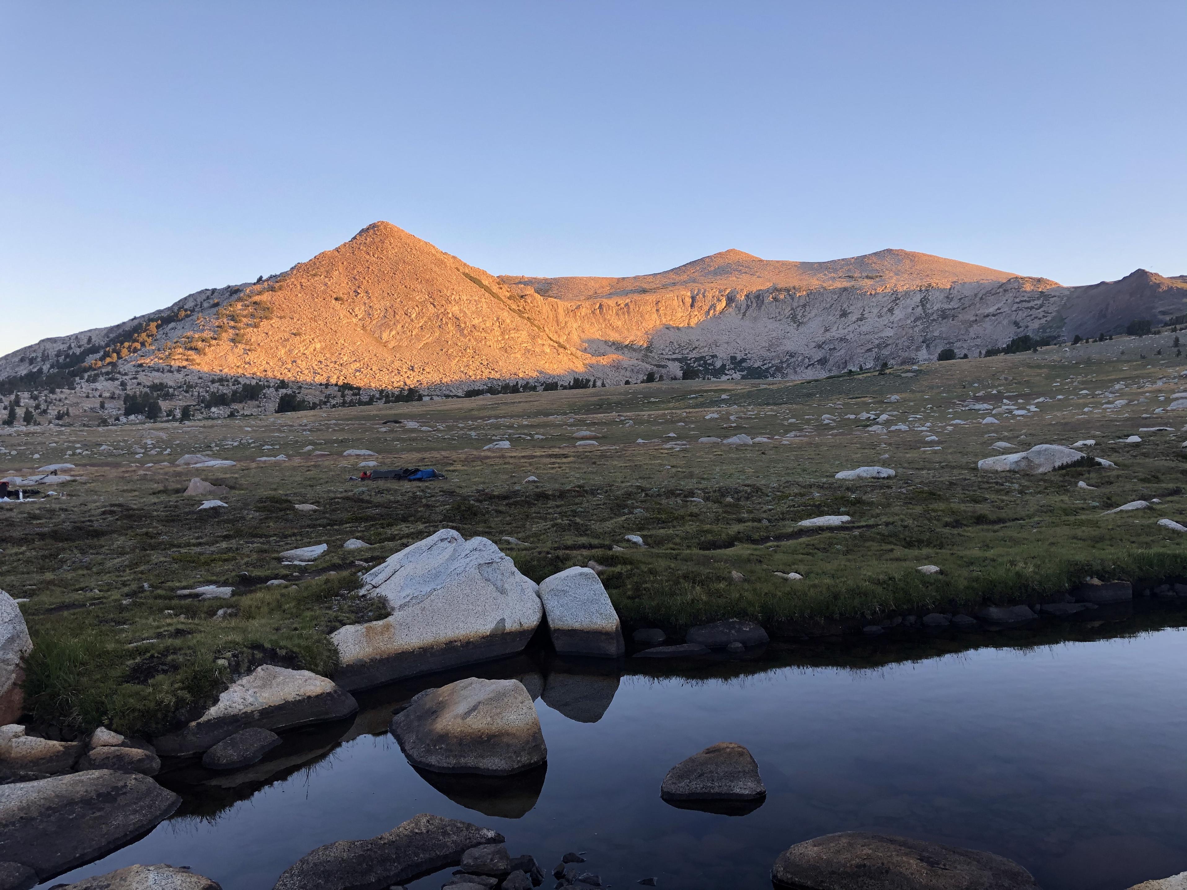
Sleeping under the stars is one of the great things that the Sierra’s good weather makes possible.
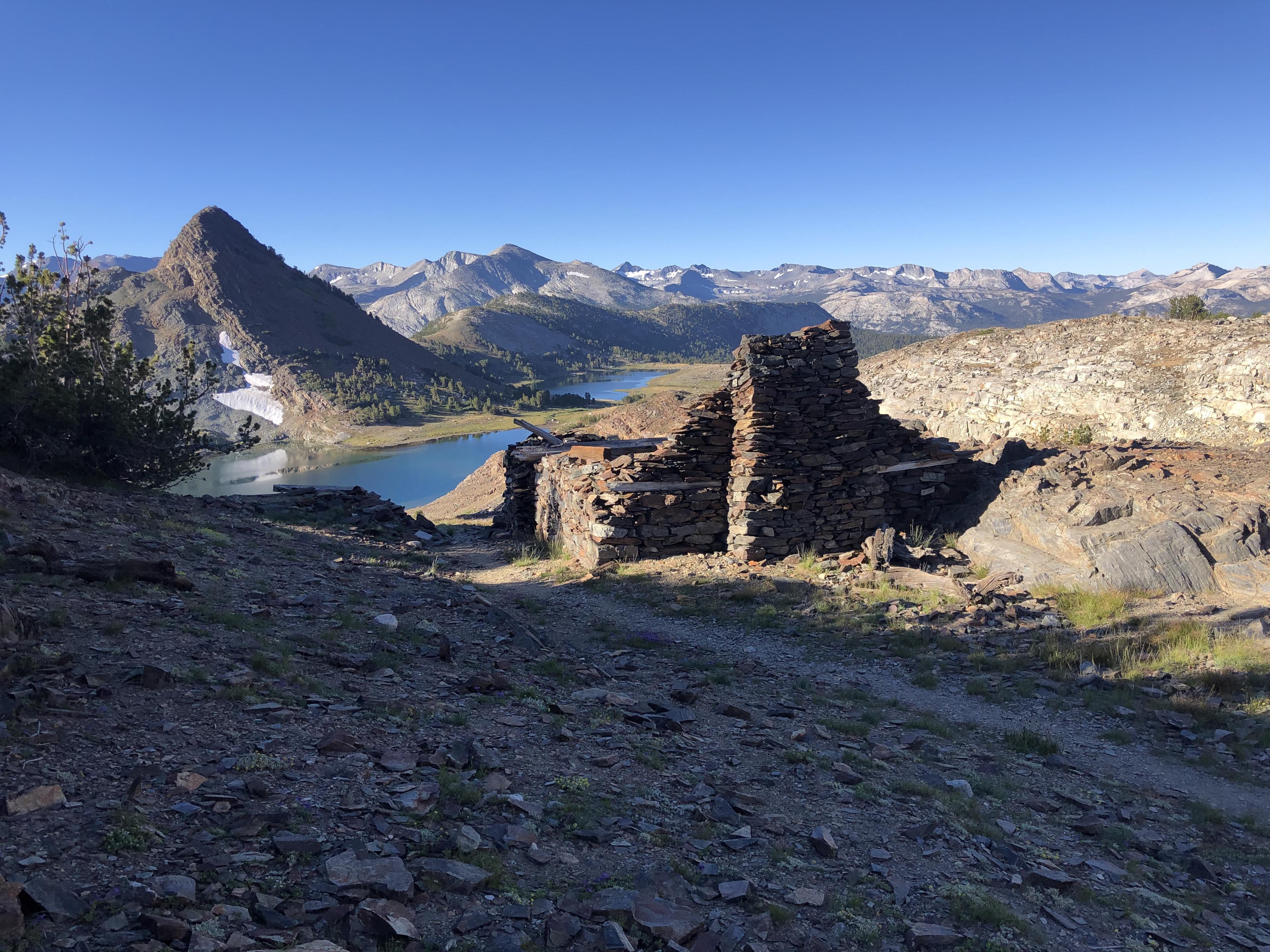
Great Sierra Mine (with Gaylor Lakes) was our first goal
On our way to Mine Shaft Pass
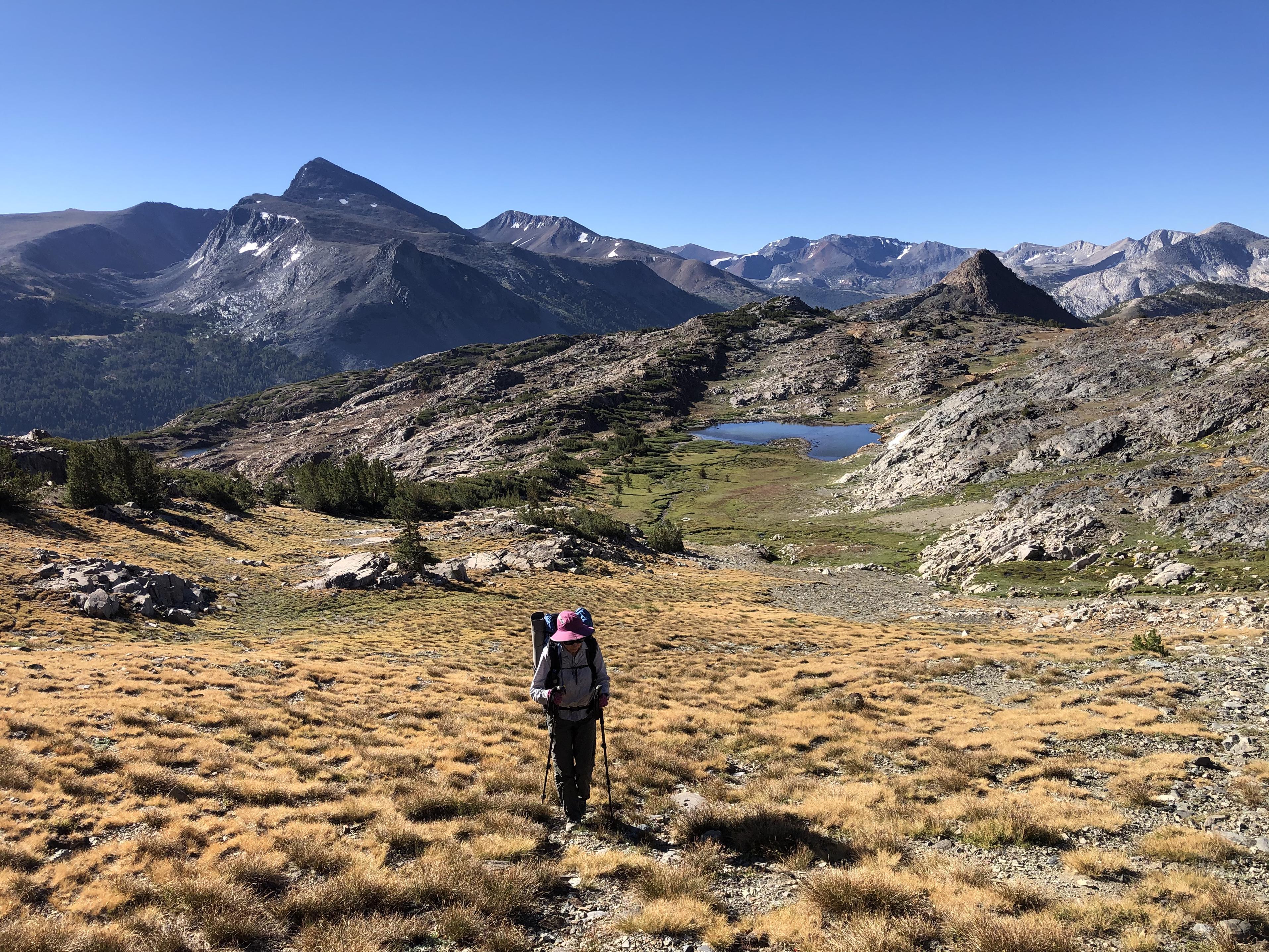
from where we could see Saddlebag Lake.
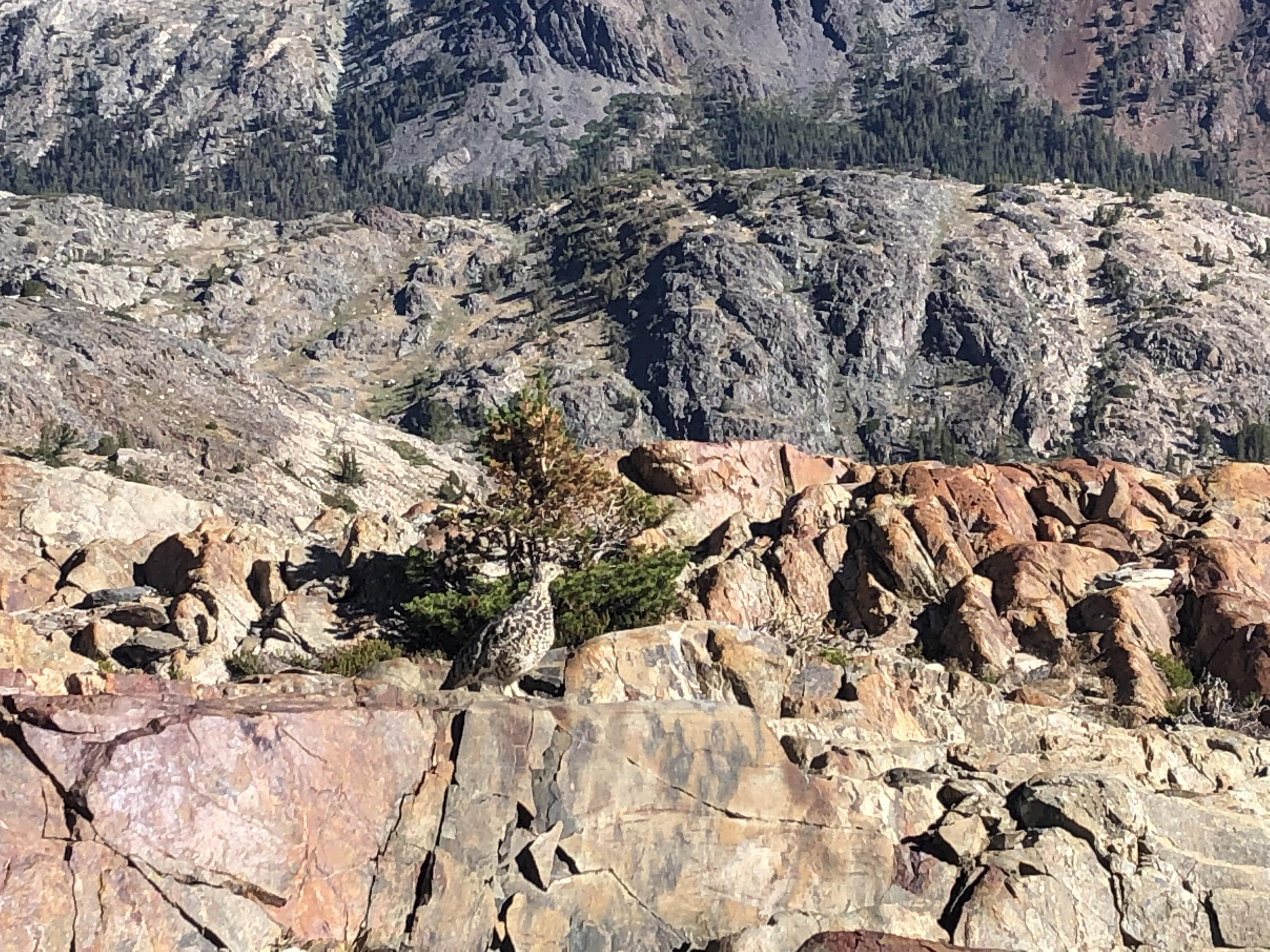
Going down to Green Treble Lake (with Maul Lake)
we passed once again endless wildflowers
and this ptarmigan. Do you see it?
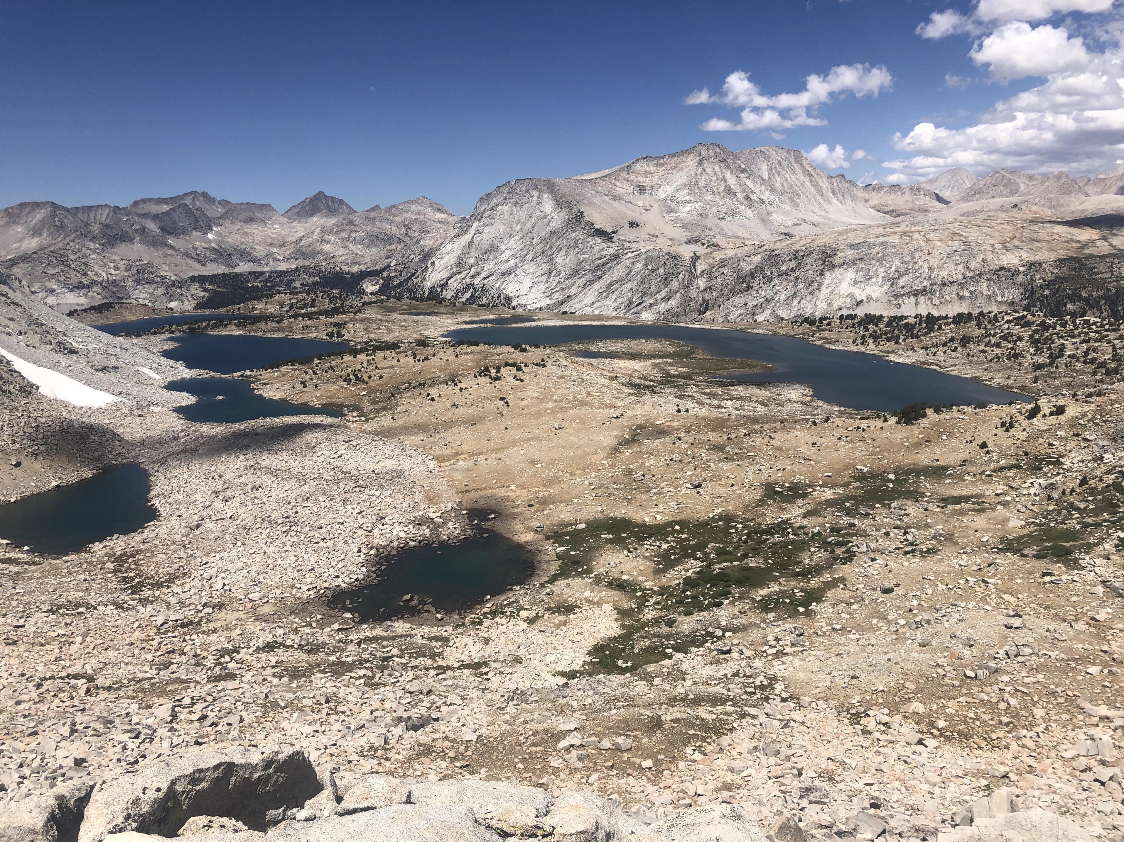
Finally, Wasco Lake, Steelhead Lake, Sky Pilot Pass and Secret Lake Pass came into view when we reached the top of the Mount Conness Shoulder.
From there we made our way down to the Conness Lakes before going up past Cascade Lake (with Steelhead Lake and Saddlebag Lake) to Secret Lake for the night.
 Day 16: Secret Lake to Soldier Lake
From the top of the shoulder between North Peak and the Shepherd Crest we had a straight view down to Upper McCabe Lake.
From there we worked our way over to Secret Lake Pass and enjoyed one last view back
before heading over the pass
to the lake for a swim
Going down into Virginia Canyon
was delightful. Going up the other side afforded us nice view of the Shepherd Crest
before reaching Soldier Lake for the night.
 Day 17: Soldier Lake to Twin Lakes
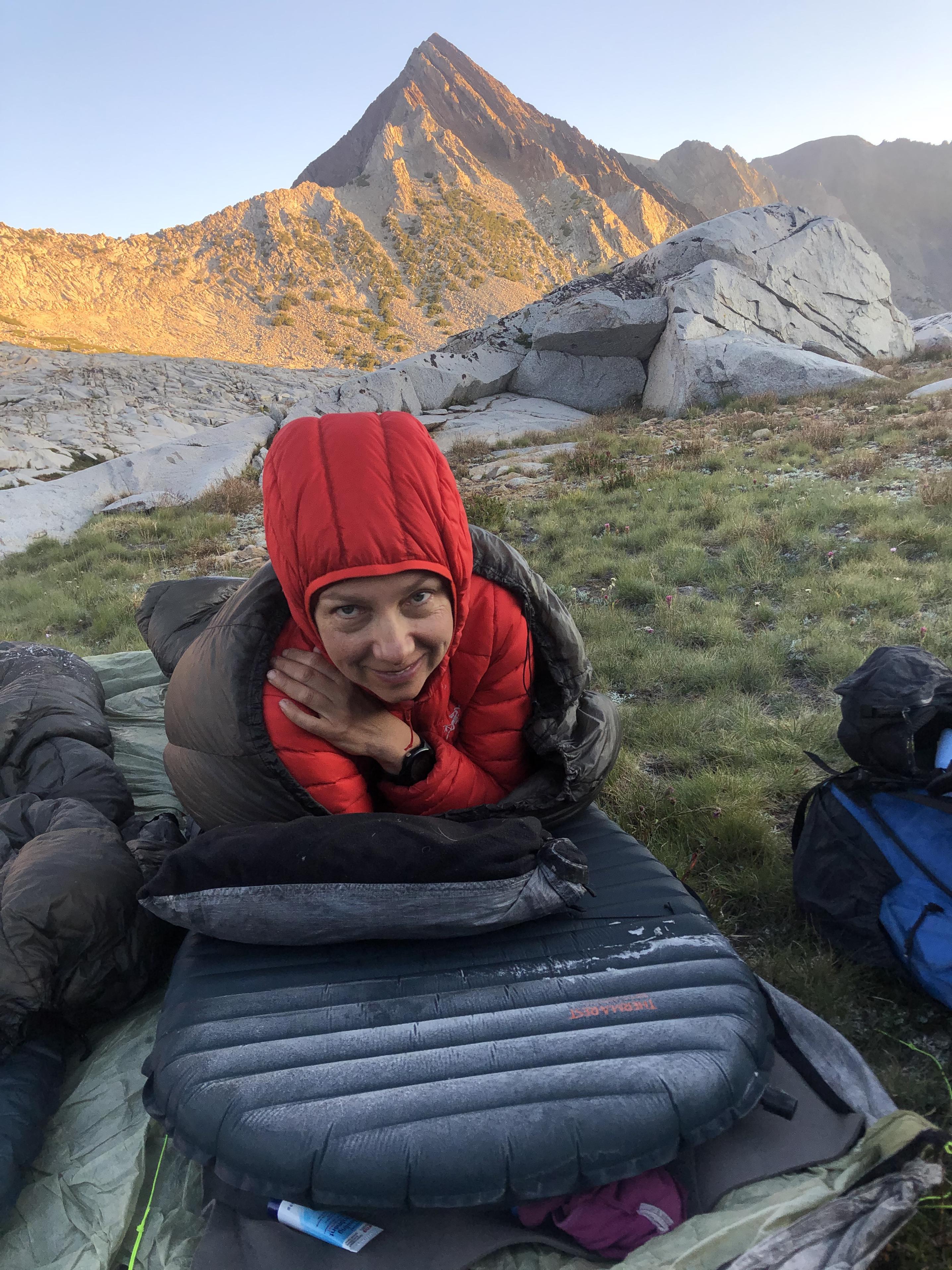
During the night the temperatures dipped down to 23.2F which produced a nice frosting on our sleeping pads. What a contrast to the high daytime temperatures we had to endure – often in the 90s. The morning was still lovely and we had a beautiful view of Virginia Peak and Stanton Pass from our campsite.
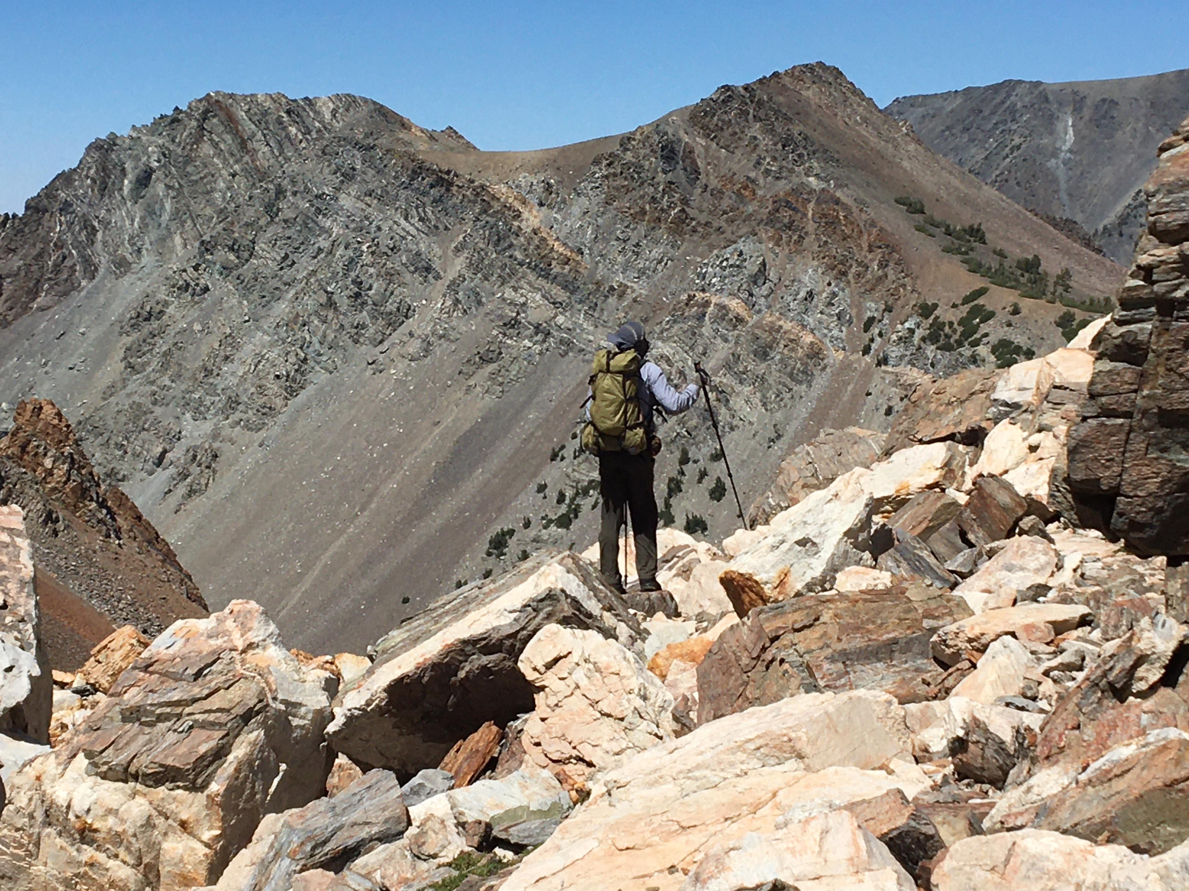
Return Lake came into sight when we climbed Stanton Pass.
While climbing down from Stanton Pass
into Spiller Creek Canyon we were greeted with views of our last pass – Horse Creek Pass.
Spiller Creek Canyon had more wildflowers for us.
That scenery changed abruptly when we reached the top of Horse Creek Pass.
Going down through talus and snow
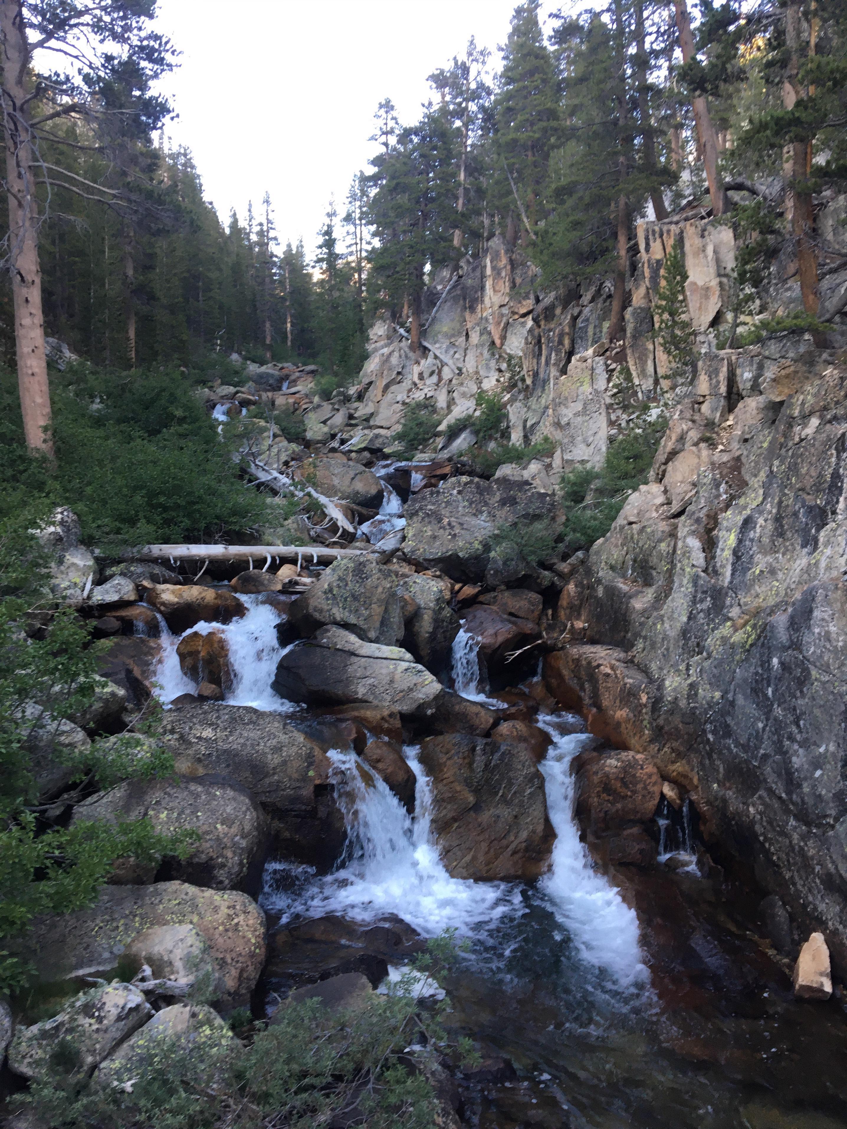
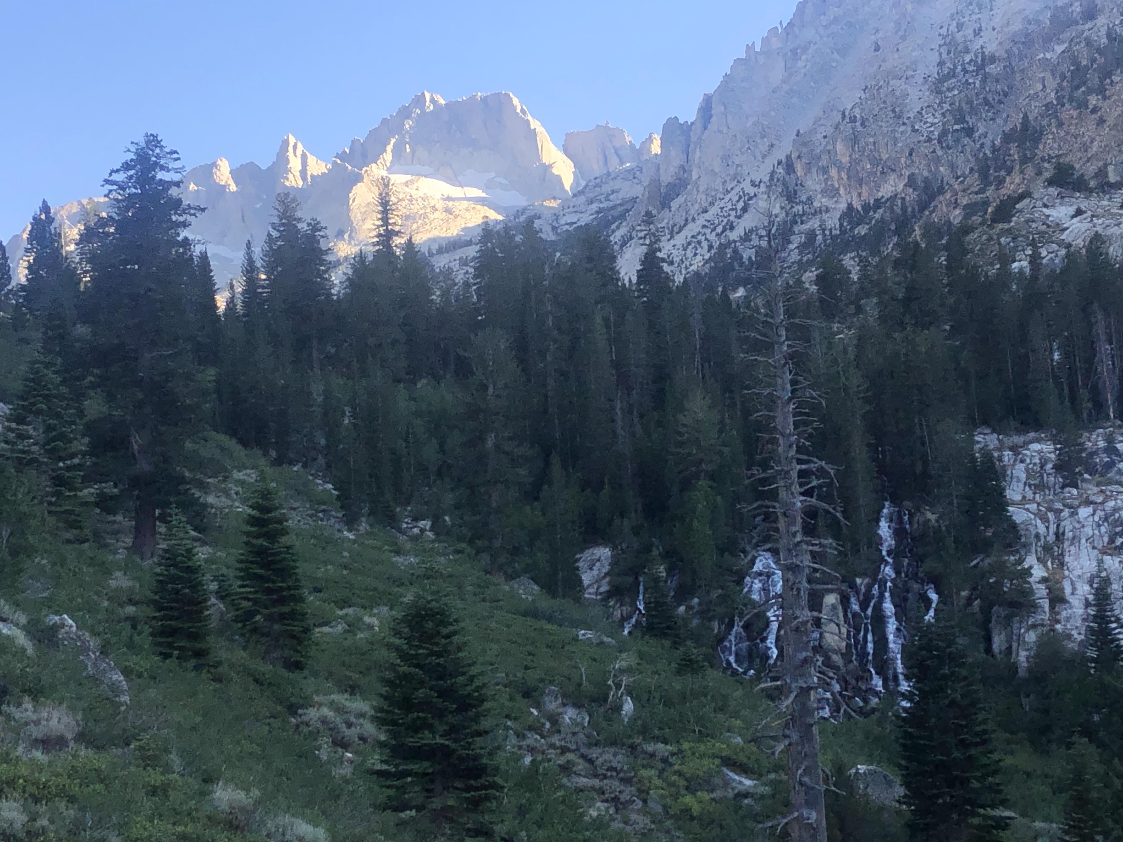
we reached eventually Horse Creek with its waterfalls and views of the Sawtooth Ridge.
A short while later Twin Lakes came into view.
That was an incredible feeling. We had made it – from Road’s End all the way to Twin Lakes!
Summary:
What could I possibly add to these photos? The scenery on the Sierra High Route is amazing. Being off-trail most of the time is enormously rewarding despite the navigation challenges that come with it. Going in July compared to September eight years ago meant we were greeted daily with an abundance of wildflowers while at the same time having to endure high temperatures up to the 90s, mosquitoes and almost daily a thunderstorm. While being on the Sierra High Route Gela suddenly asked me why I took her last year on the John Muir Trail with all its dust and horse manure. What could I possibly answer to that? The JMT is beautiful in its own way and it was a good way to find out what daily mileage we would both feel comfortable with. My estimates that were based on our JMT hike were nevertheless too optimistic. I didn’t realize how much big talus can slow down a 5’2” person until we were out there. I would just hop from boulder to boulder being 6’1” tall while Gela was constantly climbing up and down boulders or work her way around them. During this Sierra High Route I was often thinking back to Andrew and myself backpacking the SHR eight years ago. Back then we were explorers and challenging navigation was a major part of the experience. I will always hold that trip in a special place. Gela and I spent on our trip more time swimming, fishing and taking photos of wildflowers, which made for a different experience that is very special to me in its own way.

