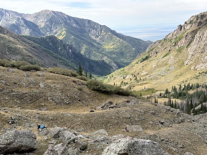
I realized earlier this summer that I hadn’t been to the SdC wilderness in several years, even though it’s one of my favorites. [Based on things he has posted, I suspect this may be member @Terran’s backyard wilderness, he’s a lucky guy.] Compared to many of the mountains in Colorado, it’s a steep and craggy place, so hiking often requires a lot of vertical, which isn’t getting any easier for me, but the views are spectacular.
We started at a TH on the west side of the Wilderness near the hippy town of Crestone, which is always interesting to drive through. Since it was a long drive for me, we reached the TH at about 11am. As I entered the parking area, I saw two men loading horses with feed, so I got started quickly to avoid being caught behind them.
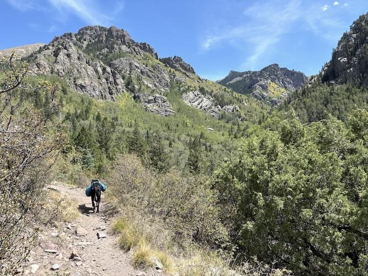
The trail climbed steadily through trees initially on the side of a ravine. After a few miles, we reached a junction where the views started to open up and eventually climbed above timberline. We turned off trail and trudged up a steep hillside and through thick willows, to reach one of my favorite off-trail spots, G Basin at 12,000′. It’s a funny name, but there were sure a lot of marmots there, and groundhogs are basically marmots, more or less. It took me more than 4 hours to go only about 5.5 miles, and I was seriously fatigued by the time we reached our destination because of the steady 3500 feet of climbing.

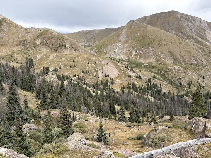
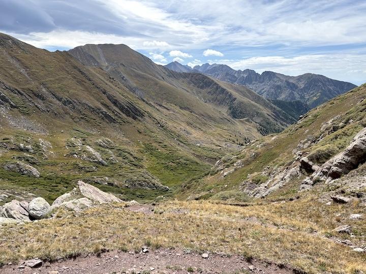
In the morning, we exited the basin, descended steeply into a ravine and up the other side. Reaching higher ground on the opposite hillside, we had views of the basin itself (disguised from a distance) and also back down the valley that we had ascended the previous day.
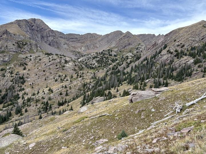

At that point, we continued north further up the valley towards a distinctive v-shaped pass in the distance. As we approached the route to the pass became apparent, and the climb was actually quite gradual except for a short steep section at the very end.
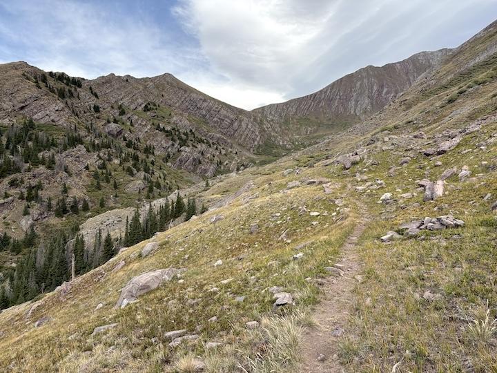
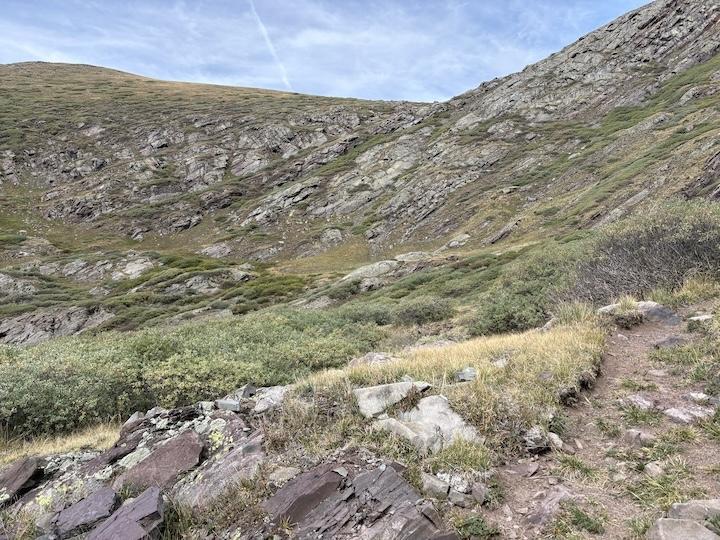
From the top, we took a break and enjoyed views of the valley behind us and also into the basin to the north. We ran into three younger guys also taking a break there, and thankfully learned that they were not planning to camp at the same lake that was our destination.

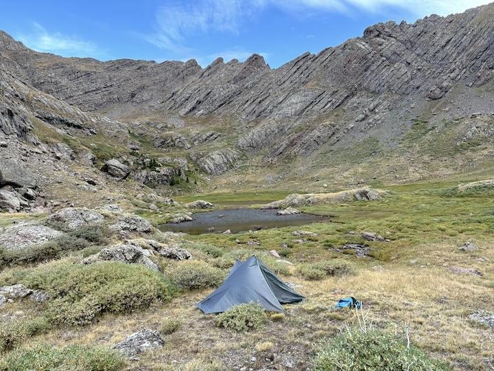
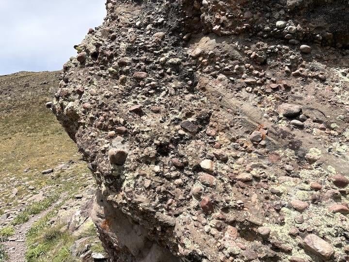
The trail descended a bit and then contoured around the east side of the next valley. I took a photo of a large boulder composed of the distinctive SdC “conglomerate” rock that you see throughout this area, which looks almost like concrete with aggregate. Looking west across the valley, we had good views of our destination lake. Before heading there, we continued north to the next pass and had a peek into the Rio Alto valley, and then doubled back to cross the valley and ascend to the lake and make camp. I got the tent set up right as some storms were coming in, but they didn’t last long and we enjoyed a peaceful night.

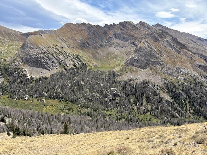
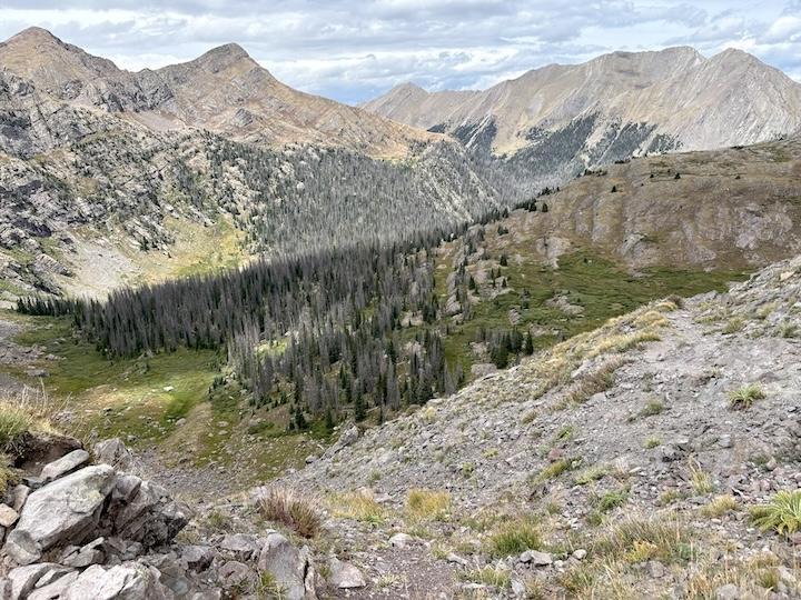

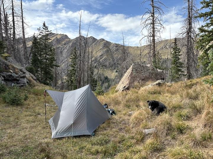
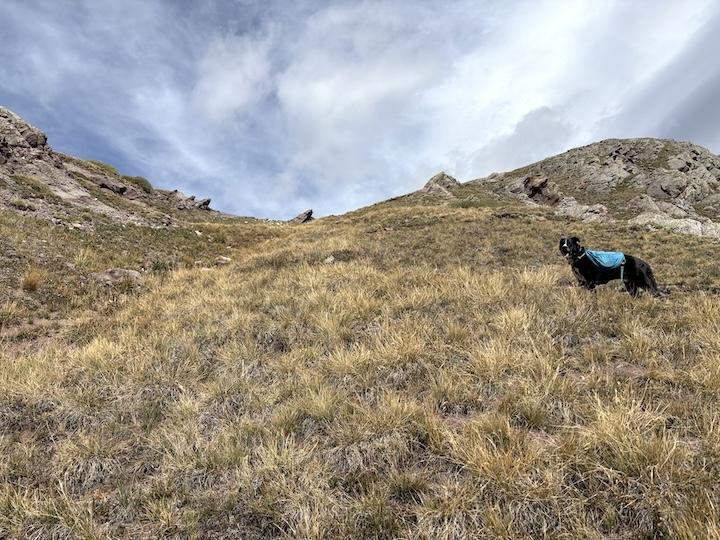
In the morning, we descended from the lake, but explored a bit and found an off-trail short-cut back down the valley to the south, avoiding some of the long hike on the trail in exchange for a steep climb up the tundra to the pass. From there, we re-traced our steps back to the TH as we originally came. Max was in a good mood exploring the tundra and boulders.
This is always a challenging place for me to hike because of the steep elevation changes, and I don’t know how many more years I will be able to do it. But it’s a beautiful place and worth the effort.