1:08 , I believe is Hell-for-sure canyon. See the previous post with link to Hiking Jim’s blog. A good days hike out of Mission Creek. There’s a hot dry section with some exposure. Cats claw to wade through. Lots of river rock to get around and over. I remember being up on the ridge to the east of it and then coming down. I think we found that easier. I did see 1 bear. There’s mountain lion. I’ve only seen sign. Otherwise a pretty easy walk. We’d usually go a little past HFS and set base camp by Middlefork. Claw our way up the west side of northfork a little ways to a lush area with a few more falls. A very nice spot, if you’re up to the walk.
Topic
Shelter choice for SoCal desert in winter?
Become a member to post in the forums.
- This topic has 48 replies, 12 voices, and was last updated 2 years, 5 months ago by .
Bruce I completely agree with you. I value the shelter feedback, but also like where the hijackers are taking us :)
I’m glad you don’t mind. I believe you did ask for suggestions in a previous post.
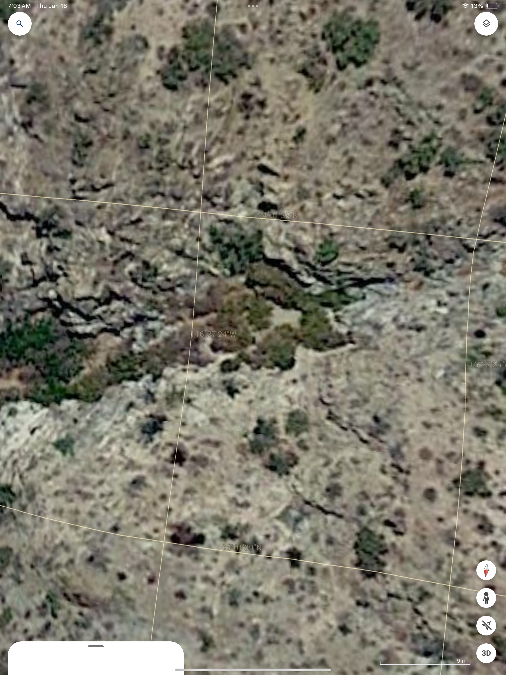
I have a Google Earth puzzle. It’s in the monument. See if you see it.
;-)
I know where it is. Only problem is that both trailheads are near areas of high crime nowadays. Not to mention the packs of feral dogs near the northern trailhead. So one needs to park further away and hike in; adding a day or two.
It’s the “face” of someone whistling or blowing a smoke ring…near the bottom on the right…?
Need another hint.
Zoom in and be observant
Yeah Nick. It’s been kind of a secret. It’s in the wilderness now, so it’s better protected. There’s an official trail close by as well, but it’s still a little difficult to get to. I usually got dropped off or hiked in from Morongo Valley. I believe we started at the tower.
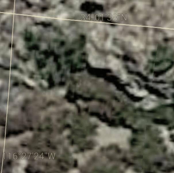
Hint: look at the shadows. Notice the different geographical features and colors. What looks like a bush, may be something else.
Collin Fletcher was there.
Alright, good hints.
Terran I DM’ed you some guesses.
Good guess Chris. The picture is inverted for a better view. Focus on the bush in the middle, the shadow, and what appears to be a shorter bush next to it on the right. GoogleEarth is blurry. You can see it from the hills, but not from the ground and you have to be eating lunch.
https://popupbackpacker.com/backpacking/trip-reports/a-nostalgic-hike-with-chuckawalla-bill/
OK thanks for humoring me. I have a few more guesses.
I won’t visit Nick’s post… yet.
Your hint was almost too good. I sent you another guess. Now I have to go do work :)
I wonder if you could do this with any random Google Earth image. The resolution is just enough for your mind to want to see things everywhere.
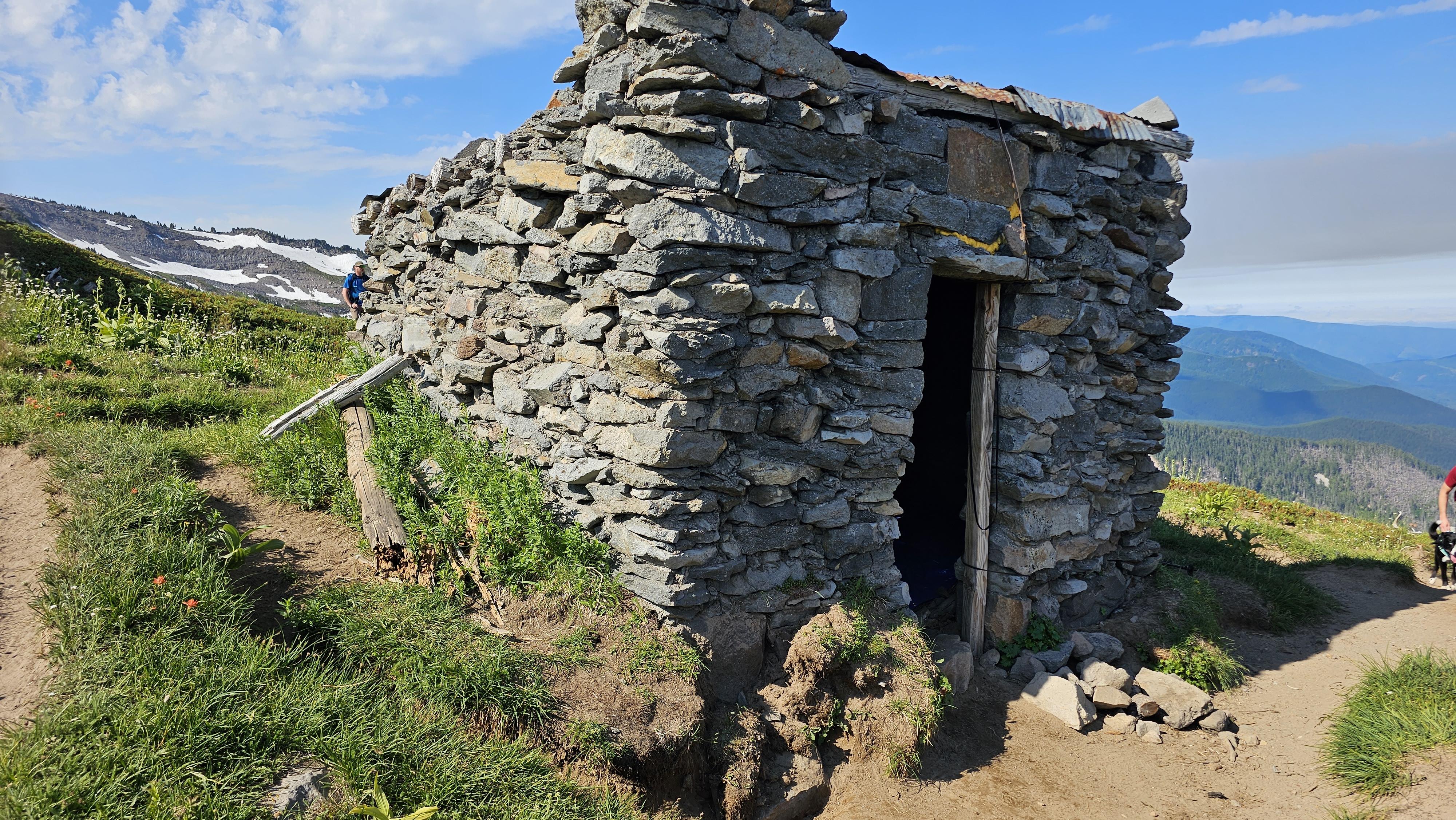
that’s like these shelters the CCC built around Mt Hood

That’s the McNeil Ridge shelter. I’ve camped in it before. During a blizzard.
Your hint was almost too good. I sent you another guess. Now I have to go do work :)
Zoom in and look at the gridlines — they show the longitude and latitude coordinates.
Don’t hit that stick…
Indeed – I looked up those coordinates first thing! My imagination sent me on a few wild tangents, quite far off track. For example, have you seen the green letter “H”? Or the moose ears? haha
Terran tipped me off as to what is there. Very cool.
Nick, I will read your post.
I’ll have to look.
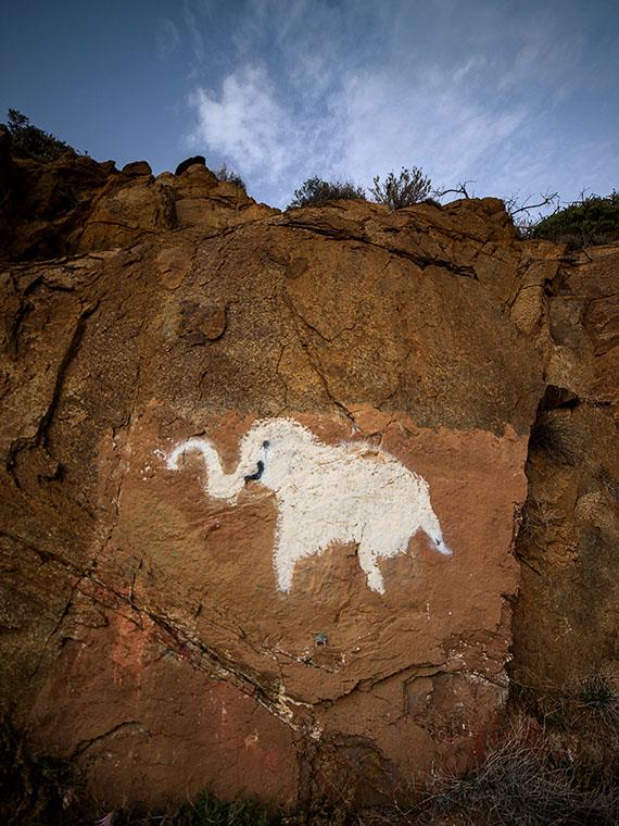
Have you seen this elephant?
The images are too blurry for me to spend any time on this. They do make a good Rorschach test however.
Why are you posting pornography on this site?
The elephant is actually near Prescott. I think it was painted in the 50’s. Every once in awhile somebody touches it up.
Regarding Chuckwalla Bill’s. All the Park in JT told me was there was a gold rush in the park from the 1880’s and 1930’s and they’ve closed off more than 300 abandoned mines….and it was obvious that they don’t know. Very little anyway.
If the cabin was already there when Chuckwalla Bill moved in during the early 30’s,  I would surmise that cabin was built to support the mine with rock from the mine used to build the cabin. I doubt Bill dug it, though it would perhaps make a nice shelter while refurbishing a cabin. (See how I said “shelter”. )  It was built with precision. Perhaps with machinery from the 20’s. While they didn’t find a lot of gold, they found a lot of investors . It was a handy place and it had water . It was a showpiece. After the market crashed, Chuckwalla Bill had found a much nicer cave and perhaps planted a bush to protect the entrance? Why does Fletcher not mention it? Did he not know?  Or did he mention it in passing? The story continues.
That’s why I like hiking. It’s the history. The desert has a very rich history. This area is in the wilderness now and I don’t think it can be closed off. It can be vandalized, but luckily most of those folks don’t make it very far out.
Quick follow-up… Due to unexpected events before the trip, we opted for a route with the lowest mental effort and the highest bail-out potential. This turned out to be a two-night out-and-back on the Boy Scout trail, with side trips and mellow exploring. A simple intro to the landscape.
I brought the 5 x 9 tarp and a water-resistant bivy. The first night called for wind but it calmed after dusk, remaining still and clear all night. I did not use the tarp or bivy. Low of 25ÂşF, lots of frost on the bag. Second night was also calm, but it did rain for a few hours. I pitched the tarp half under a rock and used the bivy as well. Warmer with a low around 40. Pleasant.
Will return to explore more cross-country next time. I appreciate the hints and tips mentioned in this thread. Beautiful terrain.
It can get chilly. Rain can be nice. It usually dries quick and compacts the sand. Smells good with the creosote. Springtime is really nice.
Your first few trips, you’re just as well off staying close to the road. You can see quite a bit and you don’t have to go too far out for solitude.  Sounds like a good trip.
I’m glad you enjoyed it.
Terran – Yes, agreed. Thank you!
That’s the first time I’ve smelled creosote. At first I thought it was wildfire smoke, but knew it was different. I couldn’t place it.
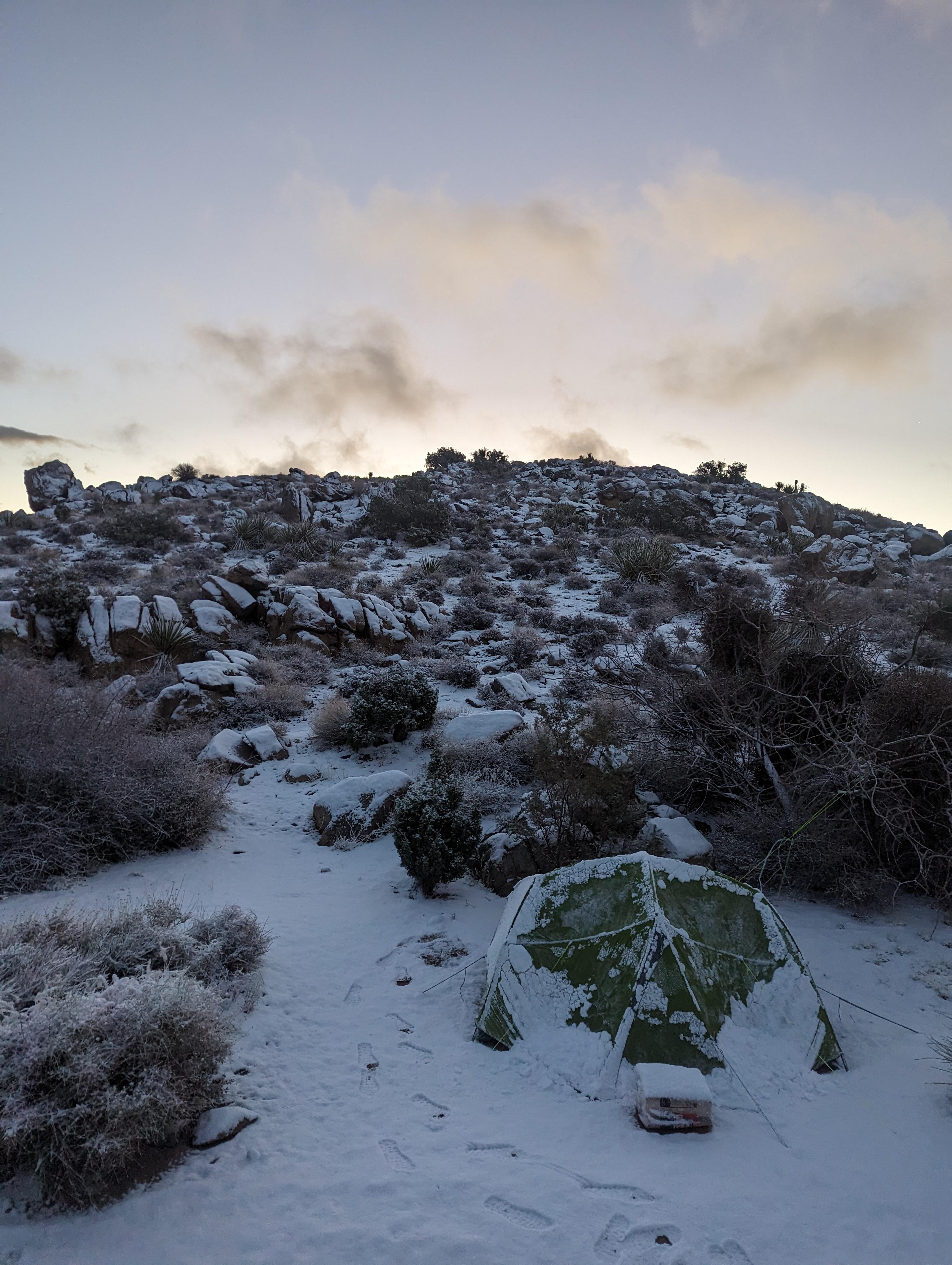
I just got back from a week in Joshua Tree. I was there during the Pineapple Express situation, and the wind, rain, and snow were very challenging. I planned to backpack but ended up car camping most of the time and sleeping in my Nemo Dagger 2P (I brought my TT Dipole 2 for backpacking but never used it). The winds were 20-25 mph sustained all week. We had gusts of 50 plus multiple times as well as rain and snow. It was a challenging week. I got sanblasted in my tent several times, and one morning, I woke up with everything in the tent covered in dust. If I did it again, I’d have taken a tent with a solid inner for dust and wind protection. Your weather might be much better. Without these conditions, dipole 2 would have been fine.

Become a member to post in the forums.