Granny could build a woodfire in two seconds.
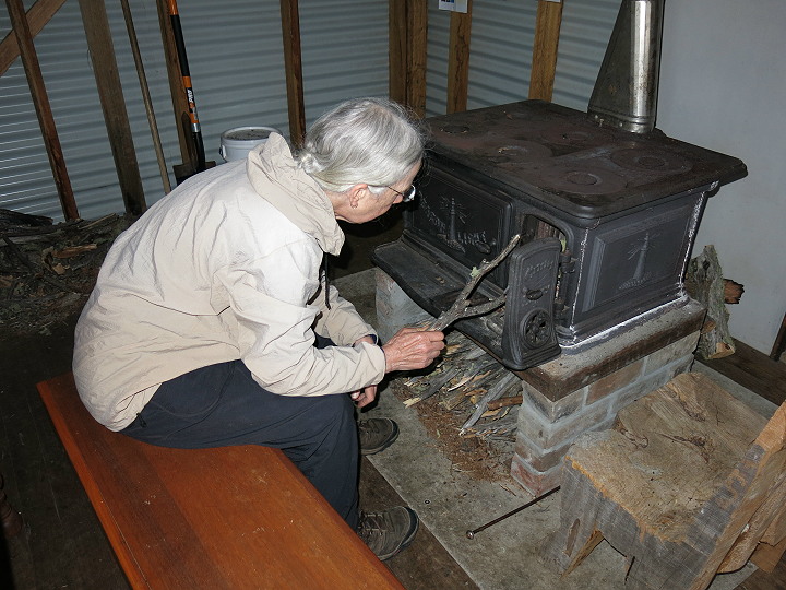
Slightly longer than 2 seconds, but not much.
Cheers
Topic
Become a member to post in the forums.
Granny could build a woodfire in two seconds.
Slightly longer than 2 seconds, but not much.
Cheers
I think there is a lot of assumption here that people are “lost” when the reality is that they just don’t know their GPS coordinates. There is a difference. In the examples cited in the article, there was a heart attack and a mountain bike injury and the parties helping the injured didn’t know how to tell people exactly where they were. That doesn’t make them lost- they likely knew where they were and how to get out themselves, just not how to communicate that knowledge to a rescuer. There are many places I go to that I know exactly where I am- but could I explain that to someone over the phone in such terms that they could find me? Sometimes yes (“in between echo bend and rapids camp…”) and sometimes no. And I find it interesting how usually any thread about GPS technology causes rapid sneers in the ultralight community but you have a thread like this and all of a sudden people are saying that everyone ought to know how to use a GPS.
I’d bet … if systems like this are brought into place widely that SAR will start to get more and more call outs
I’d attribute any increase in call-outs to cell phones and the establishment of 911 systems. The easier services are to access, they more they will be used and abused. The author of the newspaper story isn’t helping by describing a twisted ankle in a suburban park as worthy of a call to 911.
Dena,
That’s an important distinction, and a far more likely probability in near-urban areas. But, either way a 911 call is presumably because something went wrong (heart attack, broken hip, giant spider) and being able to specify a location becomes rather important.
You shouldn’t have to say “I’m between echo bend and rapids camp”, or “I’m a half-mile from the manatee-shaped hilltop, bearing 67° NW” if you have a good map. The grid has been in place for at least 50 years; whether someone uses a GPS device or a map & compass to work with it doesn’t actually matter!
For the newer tech crowd, I think lat/lon defaults hurt this. “47.6565, -122.5476” leaves a huge trigonometric chasm between the coordinate representation and the paper map. One has no idea how the numbers correspond to actual distances; to most people they are useless without an electronic aid. Thus, people aren’t able to make the connection between the “GPS” coordinates and the map. A holistic solution eludes them, and they are pushed into a false choice between the old ways of map and compass, and the new ways of satellite positioning.
-J
drifting ….
REGA (above) presumably works well is Swirtzerland, but size matters –

Switzerland is pretty small compared to Colorado, let alone the USA.
… end drift
^^^^ yes, Switzerland is small.
I didn’t say it would work here, but thanks for making me clarify….
OK, since this is going to become the national standard I will learn to love it. :^)
Caltopo now has USNG as an option so I will print some local maps and play with them. And I didn’t even realize that my Etrex 30 has USNG position format option. I’m ready to go.
I got out yesterday and did my little familiarization exercise.
Very easy, in fact, when I realized that the 100km blocks are now represented by letters, and quickly grasped the utility of truncation.
Count me a convert. :^D
Become a member to post in the forums.
 Loading...