Topic

Pacific Crest Trail 2017 (Pt 1)

Viewing 5 posts - 1 through 5 (of 5 total)
HkNewman BPL Member
PostedJul 31, 2017 at 8:27 am

Decided to take the plunge and hike the PCT for most of 2017.  The large amounts of precipitation made SoCal deserts green, but unfortunately made the Sierra dicey, with a number of close calls and 2 fatalities due to massive amounts of water at traditional crossings.  My trip report (so far) is below the link for one of the missing (and found deceased) hikers:

http://www.fresnobee.com/news/local/article163638873.html

HkNewman BPL Member
PostedJul 31, 2017 at 9:06 am

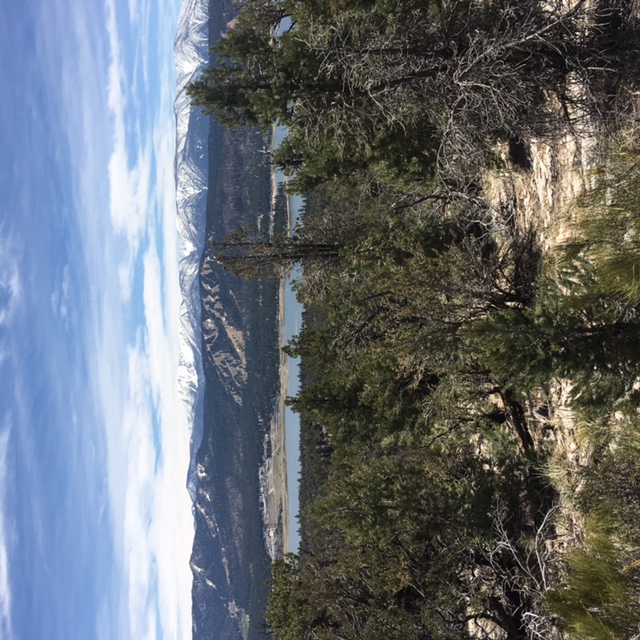
Big Bear Lk from north:

Day 1 of trip around mile 10:

Preface: It’s been great so far.

General:  I planned a PCT hike for 20 years, plus the AT, CDT, etc.. With the green due to rains, my rationale was this year would be great for desert water sources (and it was), while summer heat would melt the Sierra quickly (er, .. some problems there).


The Desert: I started mid-March and though green, the trail already got hot. The host who brought me to the southern terminus insisted on 6L of water but water was everywhere, with only a 4L carry required in some places.  I’ve settled on 1L per 5 miles in hot and cold.

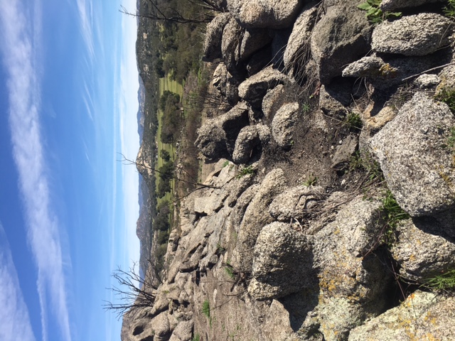
Plenty of stopping and enjoying views at the beginning .. overlooking the Salton Sea past Mt Laguna or Big Bear Lake from the trail as the pics above demonstrate.  Eventually, I stopped taking pictures to focus on hiking and the trail in front of me  … unless the picture begged to be taken by my iPhone.  Lots of ups and downs, and hikers were already starting to run into basking rattlesnakes.  One big old rattler just crossed my path a couple miles out of Warner Springs with not a care in the world, whereas others had more exciting encounters (no bites I’m aware of though). Getting to Scissors, picture-taking was no longer a priority, but, for me, pace became a priority to get a choice of campsites.

To be continued..


HkNewman BPL Member
PostedJul 31, 2017 at 9:11 am

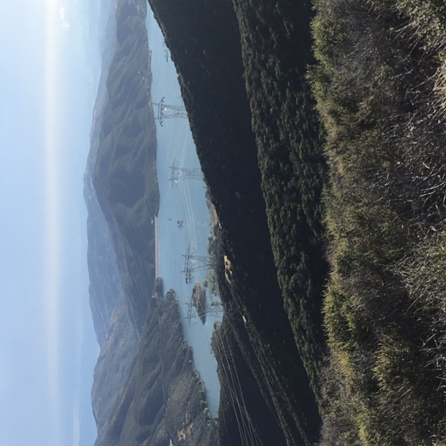
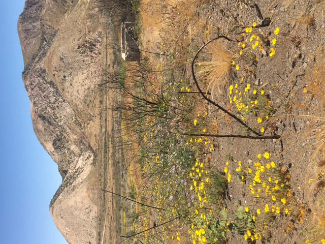
Pictures above … “Hot and wet” going into Green Valley vs “Hot and dry” coming out of Cajon Pass .. The Cajon Pass had a burn area enroute to Wrightwood following this, all uphill.

While there were some beautiful portions, much of the trail was a hot/dusty climb to the next water/camp as the above photos show.

My iPhone as camera showed it’s limits on the flowers pic above, further reducing picture stops.  Unlike Northern Cali, my pack in the desert was a framed Zpack ArcHaul (grid dyneema) for the 4L water carries. Some frame squeakage but the lightest tool to do the job. EE quilt, MLD Cuban Cricket.

PostedAug 1, 2017 at 12:48 pm

Can you rotate your photos?  They show up sideways on my computer.

Other than that, I want to see more!

HkNewman BPL Member
PostedAug 3, 2017 at 6:33 pm

Thanks, Mike.  The pics are right side up w/ iPhone but sideways on an Android tablet <insert cougar scream of frustration>. Thanks again for pointing that out, so I’ll work on it and may need a some alternative way to post pics if they keep going sideways.

Viewing 5 posts - 1 through 5 (of 5 total)
Loading...