I don’t think I had any idea what I’ve gotten myself into when I first started hiking in the mountains last year – the joy, the peace, the solitude. Being a southerner I’ve never been to the mountains; always hiking below treeline, joining friends and family on hikes through the forests of the lowlands. The mountains were something entirely different – open landscape with views you could only dream of. This year I’ve spent most of my vacation days in Dovre, Rondane and Jotunheimen National Parks.
<span style=”text-decoration: underline;”>
Dovre and Rondane National Parks – July 2016</span>
After having a rough start of the year, this trip was necessary to maintain my sanity. I planed a 3-day hike from Hjerkinn in Dovre to Rondvassbu in Ronane. At Rondvassbu I wanted to take a day to hike up to one of the 2k meter tops before traveling home. This was my first trip:
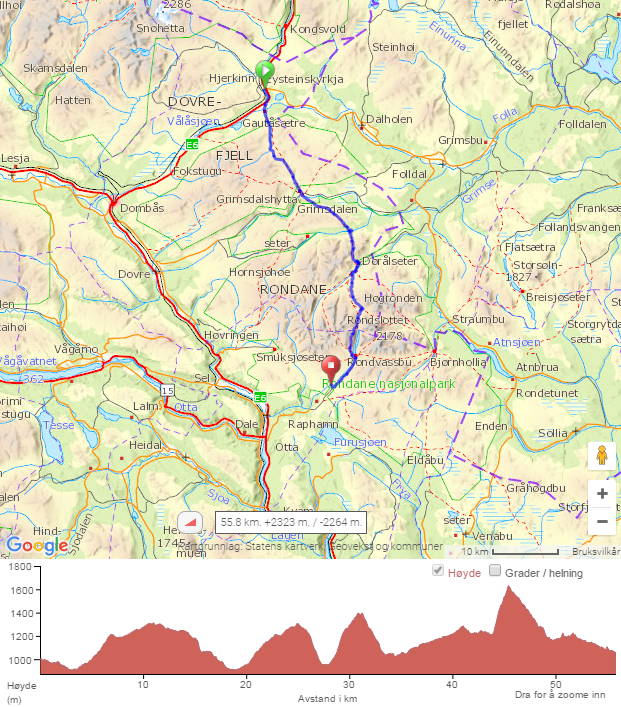
Route: Hjerkinn – Grimsdalshytta – Dørålseter – Rondvassbu – Spranget
Length: 55.8 km (34.7 miles)
Ascent: 2323 m (7621 ft) / Descent: 2264 m (7428 ft)
<span style=”text-decoration: underline;”>Day 1:</span> Oslo – Hjerkinn – Grimsdalshytta
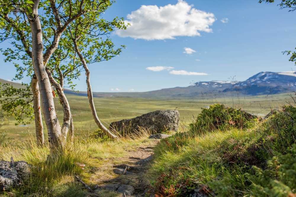
I started my day early, taking the 8am train from Oslo. It was around 12.30 pm by the time I arrived at Hjerkinn train station, at the southern edge of Dovre National Park. This first stretch of the hike was to be the easiest (and the wettest) with 18 km of gentle ascents and steep descents.
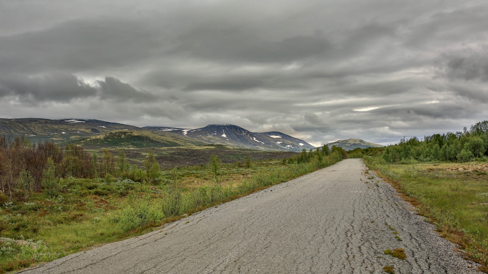 Crossing roads to get to Hageseter

The river Gautåe
Looking back toward the trail to Hjerkinn

The descent to Grimsdalshytta (Grimsdalen Hut)
<span style=”text-decoration: underline;”>Day 2:</span> Grimsdalshytta – Dørålseter – Rondvassbu
Waking up at 6am to cow and sheep crossing the campsite was not ideal, but it got me up for an early start on the trail. I initially planned on stopping at Dørålseter, but as I arrived there at 2 pm, I decided to do the last stretch to Rondvassbu… at some point I regretted that decision quite intensely… 32.5 km (20.2 miles) in total. Anyway, waking up to the sun shining got me into a very good mood, almost made me ignore the annoying cows.
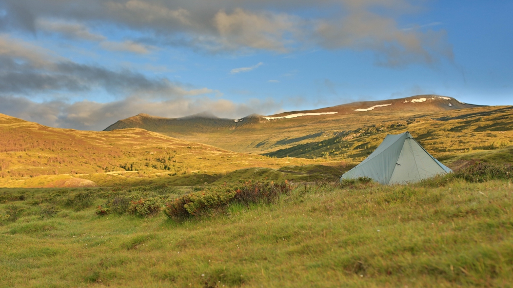
My campsite in Grimsdalen (Grimse Vally)
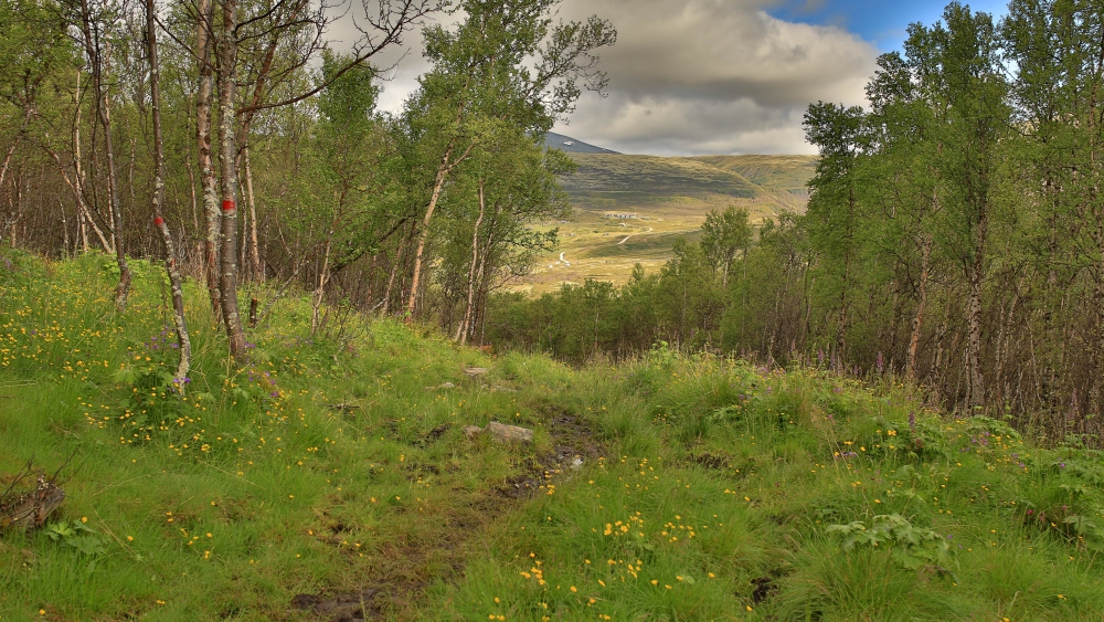
Grimsdalen lies below treeline at ~925 m (3035 ft) and the trail ascending up above treeline was one of the most beautiful parts. You walk across a small plateau before descending into Haverdalen (Haver Vally).
Grimsdalshytta in the background

The trail up from Grimsdalen, maked with red T’s by the Norwegian Trekking Association (DNT)
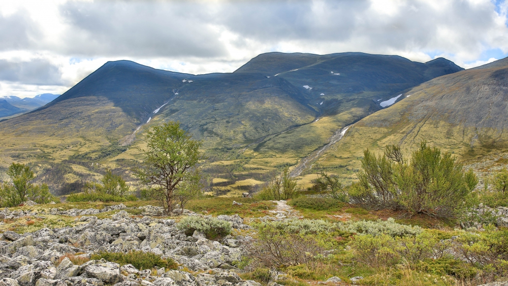
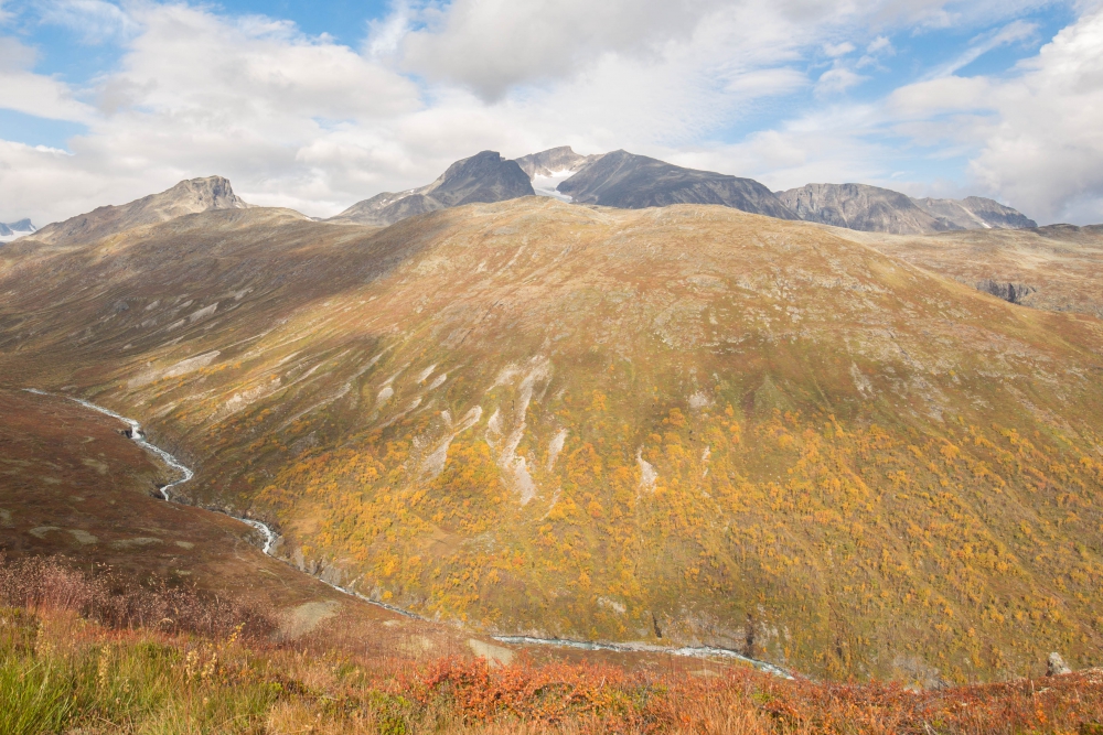
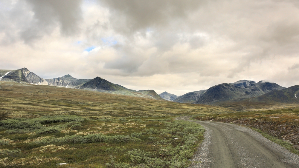
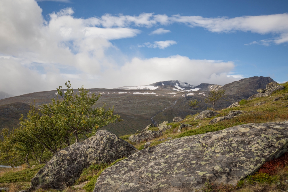
At the edge of the plateau looking across Haverdalen and toward Dørålsglupen. At the right side of the photo you can see a small river running down the side of the mountain. On the right side of the river is the trail up towards the pass below Stygghøin (roughly translated to “ugly top”, maybe someone was a bit tired when reaching the top :P).
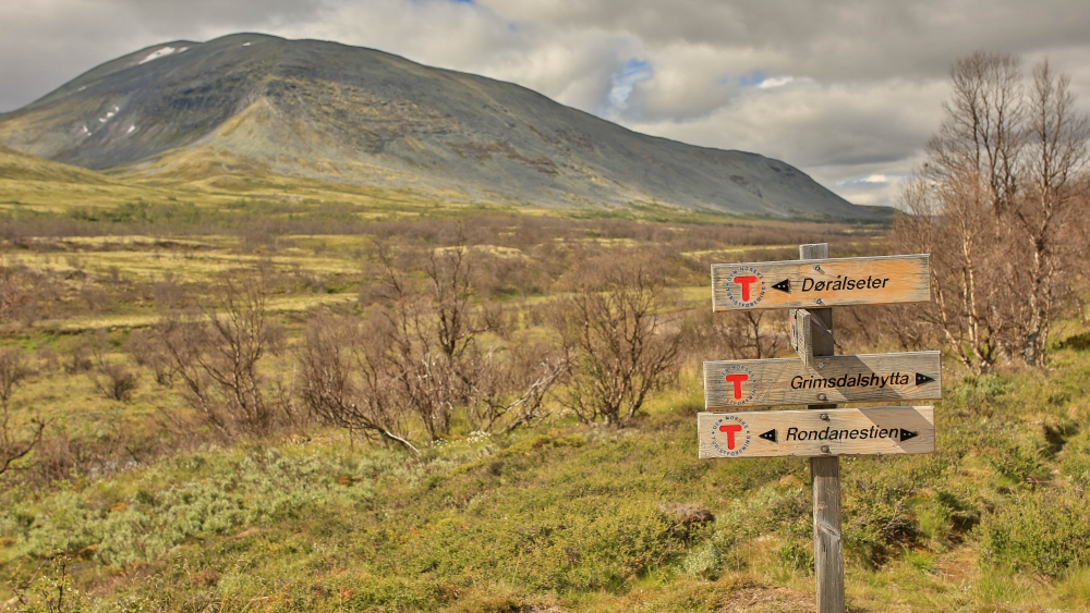
The trails in national parks are clearly marked with signs and red T’s…

The bridge across Haverdalsåe at the bottom of Haverdalen

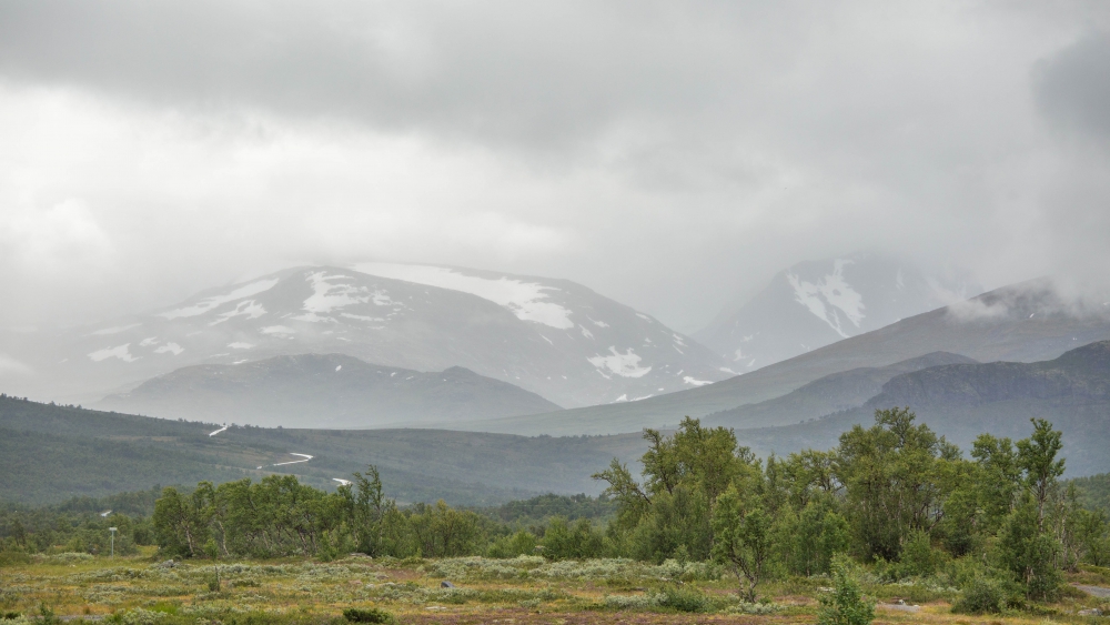
Ascending toward Dørålsglupen from Haverdalen

Looking back toward Haverdalen and the plateau, and YAY! Scree…
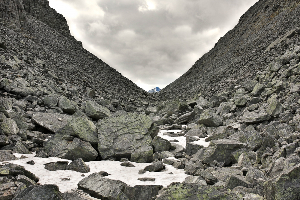
I remember almost getting emotional when seeing the peak after a tiring ascent and crossing this scree in Dørålsglupen. At the edge of this pass is a short descent to Dørlålseter (hut), where I decided to continue on towards what would become an 7 hour extra hike to Rondvassbu (hut).
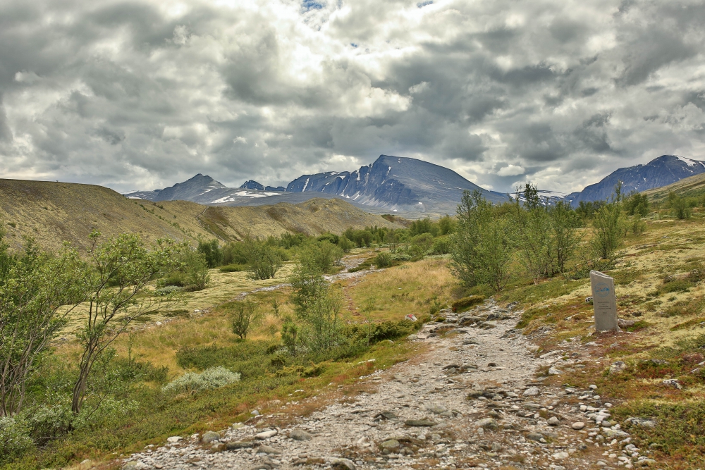
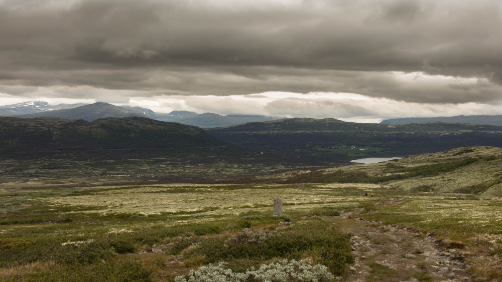
Welcome to Rondane National Park! This lies just a short walk from Dørålseter (hut) and is usually called “The Gate to Rondane”. This is my last photo before reaching Rondvassbu (I forget to take photos when I’m that exhausted :P), but most of this trail was easy even if it was long. What pushed me towards exhaustion was the last climb up Rondhalsen (400 m ascent, 20-30 % incline), but after 12-13 hours of hiking I reached Rondvassbu:

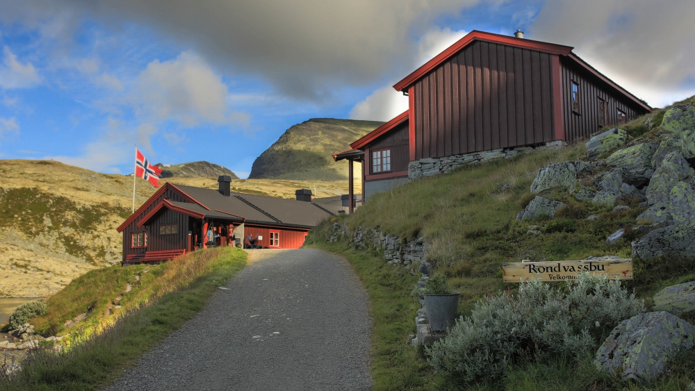
Rondvassbu hut

This is taken at the southern end of Rondvatnet (Rond lake). I came down from Rondhalsen (the top on the left side of the lake). Both of the photos are taken the next day, too exhausted to do anything but eat and sleep.

The campsite in the land of tunnel tents!
<span style=”text-decoration: underline;”>Day 3-5:</span> Storronden, Rest day and the road home…
The next day I hiked up to Storronden 2138 m/7014 ft tall, which was my first 2k peak!
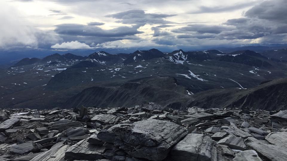
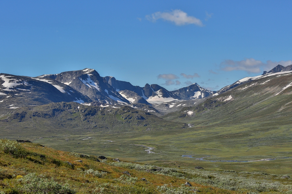
The view from Storronden looking toward Jotunheimen in the horizon.
After a much needed day of rest I walked the short distance to Spranget where the bus would take me to the train station in Otta.
Bye Rondvassbu!
Ah, the views….
Taken at Spranget toward Rondane and Rondvassbu.
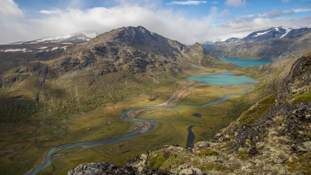
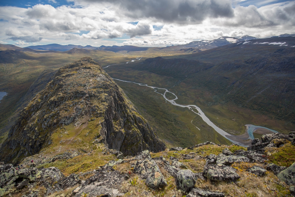
I’ll post my trips to Jotunheimen soon!


 On our way towards the next peak (Midtre Kalvehøgde) looking back toward Nørdre Kalvehølotinden. The tiny black spots on the snow to the left are raindeer
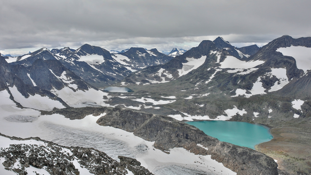 This is taken at Mugna (2159 m/7083 ft) toward Leirungsdalen (vally) with the glacier Leirungsbrean below and the small lake Leirungtjønnin.
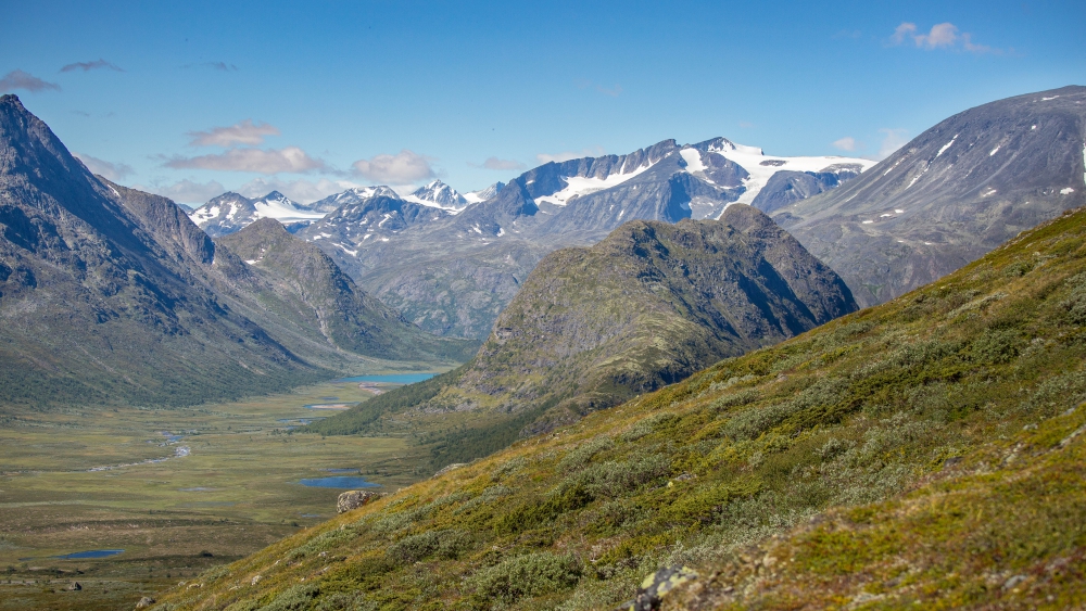
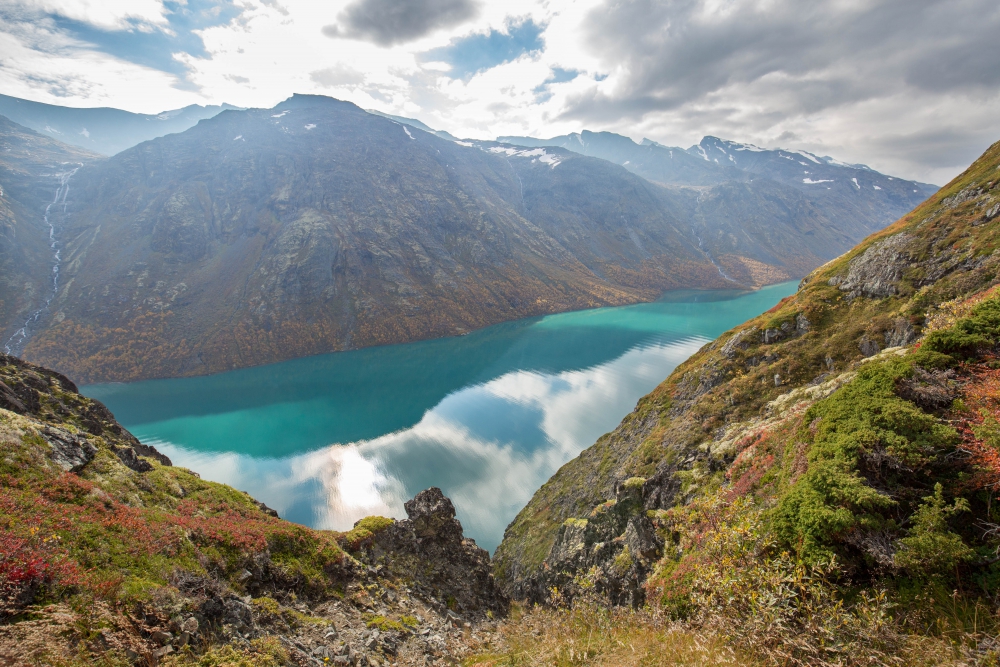
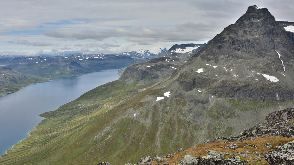
 At the bottom of Knutshøe, with the lake Gjende on the right side
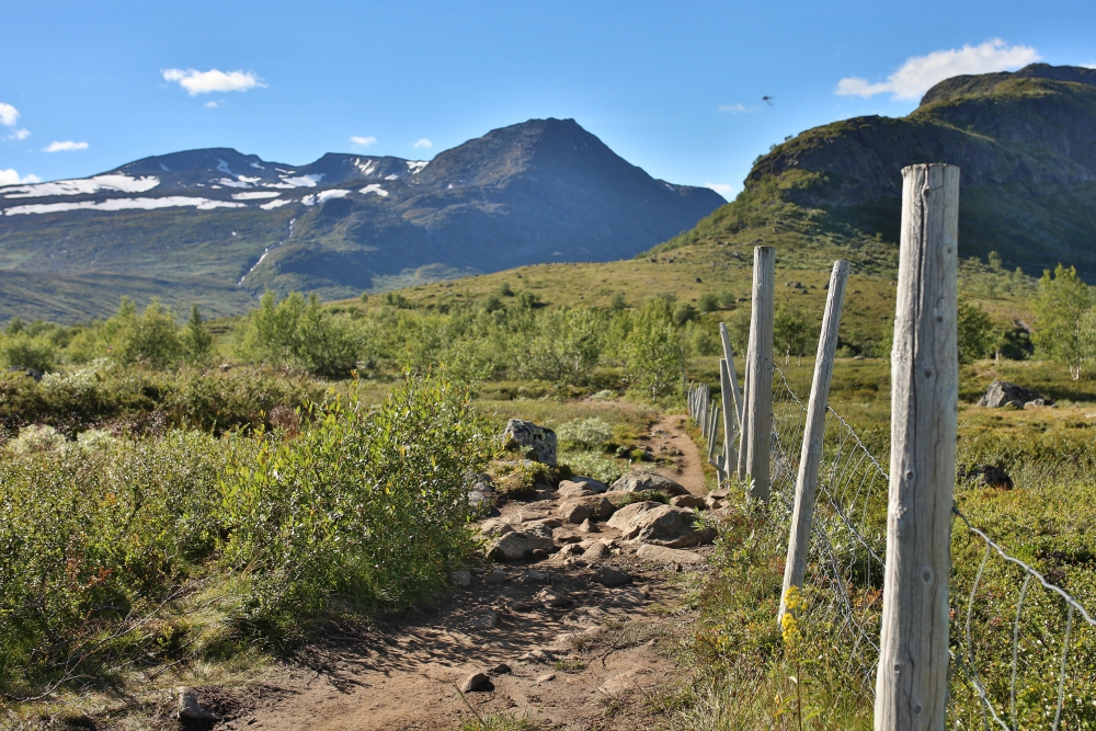
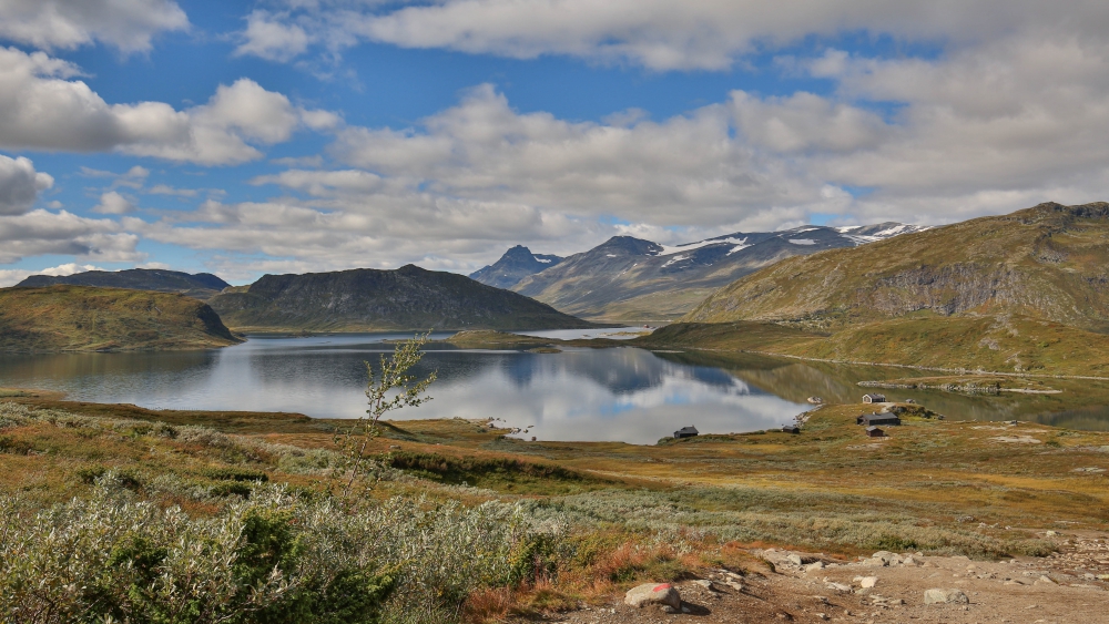 The lake Bygdin and the start of the trail up to Bitihorn