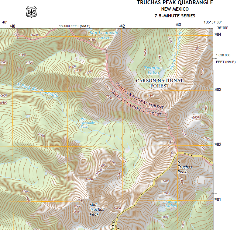
Ah, I see. You mean that no one is out there with a sextant and chains and wearing a USGS polo shirt verifying road locations. But they’re still collecting data.
Here, I’ll repost your quote with better emphasis:
“In all cases, new content depends on receiving data from authoritative sources. For non-natural map features, the USGS no longer gathers data by direct field observation or from primary sources.”
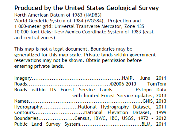
So the non-natural data just comes from other more specialized government surveys. For instance, the USFS provides the data on their roads from their surveys, the FRA provides data on railroad tracks, The BLM’s Public Land Survey System inputs it’s data, the Army Corps of Engineers collects data, etc. And, hell, their road data is from a commercial source (TomTom). So, admittedly, the USGS is currently acting as a sort of a clearinghouse. (This all from your link.) And they are still correcting errors and changes in topography that are reported to them.
I mean, this isn’t totally unreasonable. Barring Mount Saint Helens and similar events the gross topography doesn’t change often or drastically, and most that do are related to hydrography, which they specifically do update, or acts of man, which admittedly they may not since that is so decentralized.
EDIT– I have to disagree strenuously. They are “real” updates- it is newly collected data. They just aren’t complete updates- not all data is updated at once. Jesus, Brother, the first complete survey took over 50 years, 1940-1992! Back when that started the USGS was the only game in town, which isn’t the case now- as you can see surveying is much more decentralized now. And most importantly, the regions that they spend the most effort on keeping current are public lands, which is sort of apropos to us. Yes, the USGS map of southern Manhattan is, I am quite certain, ridiculously out-of-date. (Mean USGS data currency is 1979.) But I don’t really care, either.
I will add that I’ve gotten great use out of the 7.5′ quads. But then, I admit that I’m the sort of guy for whom puzzling over old data is sort of part of the challenge. (I’m a bit of a mapping fanboi.) And I too enjoy wildernesses much more than the national parks.
Assuming that the person producing them is a competent surveyor, I’m sure that those mapsets you mentioned are great. I would have a lot of trepidation about a map produced by some random dude on the internet that I didn’t know anything about, though. But that’s sort of the whole problem with the internet, isn’t it? Knowing how much to trust the sources.