Planning a four day/three night hike beginning April 21, ’18 with a group of friends. Most of them are not avid hikers so daily mileage needs to be low (6-10 miles/day). Also, we all hammock camp so I need to ensure we end up in areas with trees each night. Could anyone help me out?
advertisementYour privacy is protected: We do not transmit your user data to third-party ad platforms or advertisers, and we do not host third-party tracking pixels. Backpacking Light serves ads on its own custom, native, and internal platform.
Anniversary SaleMay 15 to 25 - REI's biggest sale of the year.Topic
Help with Roan Highlands
Become a member to post in the forums.
- This topic has 12 replies, 5 voices, and was last updated 8 years, 4 months ago by
 .
.
Viewing 13 posts - 1 through 13 (of 13 total)
Sure, it shouldn’t be too hard to find hang spots at all. It’s not too complicated logistically. There are good options for loops or lollipops. It’s a great place any time of year. What specific questions do you have?
This link will help with planning mileage:
It’s a great area to hike. Do you have either the ATCs guidebook or AWOLs guidebook? Uncle Johnny’s in Erwin TN is a great hostel and can help with shuttels.
Thanks guys! No I do not have either guide book (yet).
@alexdrewreed, my questions would be around generally good starting points for getting a shuttle and ending back at the car. ~25 miles would be perfect but a little more or less is fine if there a prefect route that fits the bill. Input on water would be great as well if possible.
You can do Roan just fine with no shuttle. Last time I went, we started on Hwy 603 near the Grindstone campground. We went up Mt. Rogers trail to the AT at Deep Gap. From there, we went around Mt. Rogers. We continued on until we got near Wilburn Ridge; at that point we took a left off the AT over what is called Pine Mountain on the map. This trail leads to “Scales”, an intersection of multiple dirt roads that includes a bathroom. At Scales, we got back on the AT. We walked across the Quebec Branch and up to Wilburn Ridge. You’ll see signs there mentioning you are in Grayson Highlands. Keep following the AT up a beautiful open ridge. You’ll eventually connect back with the AT where you left off before. There is a short spur up to Mt. Rogers; it’s a nice hike to the highest peak in Va. Back on the AT, you can continue back to Deep Gap and back down the trail you came in on to your car. Look at caltopo and you can follow this pretty easily.
I like the route mentioned above, but there are other good options too. You could start in Grayson Highlands and do a loop. Or start at Elk Gardens on Hwy 630, Scales, or Fox Creek Horse Camp on Hwy 603.
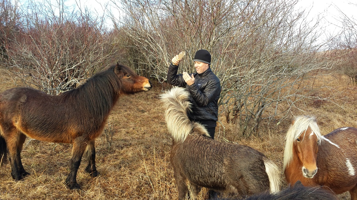
And don’t forget to keep your eyes open for ponies:
Ben – I think you are thinking of Grayson Highlands (a little further north on the AT and a fantastic place) The main part of Roan Highlands (between Roan Mountain and Doll Flats) is pretty open, so you will have to be specific on where you camp. Bradley Gap is a decent area that could be hammock camped and it has a spring. You won’t be doing a loop there, but you could get a shuttle from Mountain Harbor B&B (US 19E) or Kincora Hostel (Dennis Cove) which is further north, or Uncle Johnny’s Hostel which is further south in Erwin.
I’ll try and pull the maps out tonight and see what they look like, its been a few years since I was there.
I also have the ATC handbooks and maps if you would like to borrow them.
Brad, you are correct. I was definitely referencing Grayson. Sorry about that. Yeah, I have not found a way to avoid a shuttle in Roan unless you do an out and back. Sorry for the confusion, Hoosier.
I assume you’ll go from Carvers Gap to 19E. It’s easy walking. You could easily do an out and back in that time. You shouldn’t have a problem hitch hiking there either.
Thanks, guys.
@mocs123 I would definitely borrow them if you’re okay with that. The trip is in April so whenever you feel comfortable sending them. I will cover the shipping cost.
I would actually prefer to get a shuttle instead of doing an out and back so I will have to try to find a more suitable mileage. Sounds like Carvers Gap to 19E might not be quite long enough.
https://photos.app.goo.gl/6TPAwHha6GHwx0rJ2
<p style=”text-align: center;”>I hope these are helpful</p>
Hoosier- I did this hike afew years ago with my brothers. Below are my suggestions:
- Park off 19E at Mountain Harbor B&B and Shuttle to Iron Mountain Gap
- Day 1: Hike 12.1 miles to Ash Gap. There is a spring here and also room for tents and hammocks
- Day 2: Hike 9 miles to Overmountain Shelter. If room in shelter, hammock from rafters. If not, I am sure you can find somewhere along tree line to hammock.
- Day 3: Hike 9 miles back to car.
Stop at Highlands BBQ for a beer and BBQ before departing area.
If you leave a car a 19E be sure to park at Mountain Harbor B&B as Sean said. It’s maybe a half mile walk down 19E from where the AT crosses and the charge a couple of bucks a day, but there have been reports of break ins of cars parked at the AT crossing.
If you want to go further north, Bob Peoples runs a fantastic hostel on Dennis Cove Road (Kincora Hostel) and has had very fair prices on shuttles in the past as is about as nice of guy as you could ever hope to meet. I am trying to remember but Dennis Cove is probably 30-35 miles past 19E.
Viewing 13 posts - 1 through 13 (of 13 total)
Become a member to post in the forums.
advertisementYour privacy is protected: We do not transmit your user data to third-party ad platforms or advertisers, and we do not host third-party tracking pixels. Backpacking Light serves ads on its own custom, native, and internal platform.
 Ultralight folding polesCarbon fiber, adjustable, 15" collapsed length.