On the SEKI map it shows that the trail from Big Whitney Meadow to Little Whitney Meadow “may be undefined in areas”. My Tom Harrison Golden Trout wilderness map shows that trail as a dotted line. A trip report I found made it seem not too bad. Has anyone been there? I want to go to Rocky Lakes Basin if possible and then continue on to the Kern. This trail along Johnson Creek is definitely a shortcut.
Topic
Has anyone hiked in the Golden Trout wilderness?
Become a member to post in the forums.
- This topic has 2 replies, 2 voices, and was last updated 5 years, 10 months ago by
 .
.
Viewing 3 posts - 1 through 3 (of 3 total)
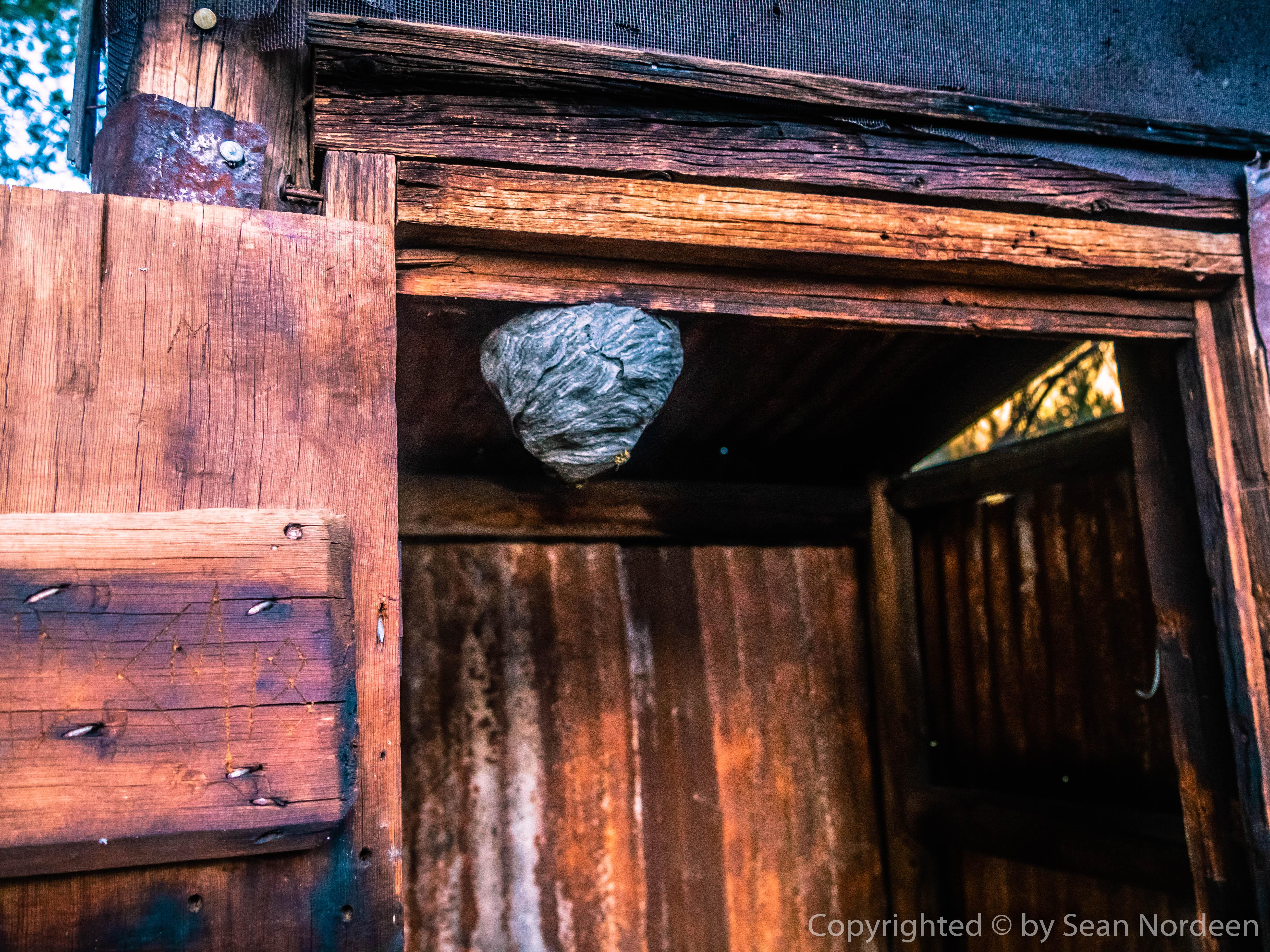
I hiked through there the opposite direction in August of 2019. Trail gets very faint in a few places though if you have a GPS to occasionally check when that happens, it isn’t a hard hike. Don’t use the outhouse at the cow camp near Little Whitney. It had a huge hornet nest on the ceiling last summer to my horror when I opened the door when I was debating camping nearby.
I’ll give you what I found backwards from your proposed trip. The trail junction at Golden Trout Creek near Lt Whitney Mdw isn’t marked and very faint right on the creek edge so it likely gets washed out. You can follow it a short ways into the meadow and then you’ll lose it from the new grass growth and a lack of traffic. You may get lucky and see the grass slightly trampled down on the way over. As there are a few cabins on the far side of the meadow, just aim for them. At the cow camp, there is a trail to follow up the hill until you get once again into an open area. Trail is faint in a few places and I missed a turn as I followed the more defined cow or animal path into another small meadow. Backtracked via my GPS and I did spot the path I should have taken. After that I was able to follow it pretty much the rest of the way, double checking occasionally on the GPS that I was at least going parallel to the trail. Issue is once you leave the meadow, pack trains have rerouted the trail that you can actuallly see since they clearly lost it. I know this because after awhile, the supposed trail takes a sharp turn to the right and goes straight up the slope until it comes to the real trail. Going further north, the trail was well defined for the most part, going south past the pack train trail, you could make out a very faint trail. I stated if I ever went pack in the other direction, I’d follow that faint trail with my GPS to see how the trail is suppose to be routed.
Did not see anyone through there but did occasionally see one or two pairs of faint shoe prints from prior to the last big thunderstorm.
If you send me a PM with your email, I can provide GPS tracks of the route on that trail, but it may not actually follow the visible trail exactly for the entire distance as I only realized we’d drifted off the official data only after being on it awhile. I do a lot of hiking in the Golden Trout Wilderness (probably have hiked 90% of the trails) due to it being closer to the LA Basin and the trails being mostly non-quota. So I have GPS tracks of the pretty much the entire thing, it mostly uses the official data, but I’ve modfied it in some places to match the real trail (even the Tom Harrison map isn’t correct 100% of the time), but only if I noticed it deviating significantly while hiking.
Thank you Miner. Wow, that hornet nest is actually quite beautiful. The trail itself sounds a lot like the stuff we have in the Los Padres. A GPS track wouldn’t hurt. I’m dragging a friend through there but I’ve never been. My email is my first and last name without spaces at gmail.
I’ve planned a crazy route to start at the Cottonwood entry, spend a couple days in Golden Trout aiming for the Kern, then hiking up the Kern and maybe if we are making good time go up Colby and Avalanche Passes to Bubbs Creek and down the PCT. I paid for (but have not yet obtained) a permit for 10 days.
Trying now to figure out the bear canister situation. If I can waste a couple of days with food outside my canister at the beginning and then use bear boxes for another day or two I can make it with a small canister. Otherwise I have to carry a huge one.
Viewing 3 posts - 1 through 3 (of 3 total)
Become a member to post in the forums.
advertisement
Garage Grown Gear Hidden Gems
Discover under-the-radar ultralight gear from small brands.

