


Guess I should put info in second entry, eh?
Topic
Become a member to post in the forums.
.
Guess I should put info in second entry, eh?
This route was based on a couple of trip reports I found at http://www.highsierratopix.com/community/.
Drove to Bishop, got permit, walked to Shat’s bakery and camping store.
Drove to Lone Pine and had bad Mexican food at Bonanza.
Drove a short way up Horseshoe Meadow Road and slept in car.
1st Day
Drove to trailhead. Borrowed Leatherman from man in parking lot (whose wife had 20 year old McHale) to put pack strap back on with pocket.
 approach to Trail Pass
Crossed two creeks, wound up to soft Trail Pass, easy.
Downhill most of the day. Passed a couple long meadows on the left: Mulkey and later Tunnel.
Had lunch at old broken down corral.
 lunch spot at old corral
Saw old water (?) tower next to Forest Service building.
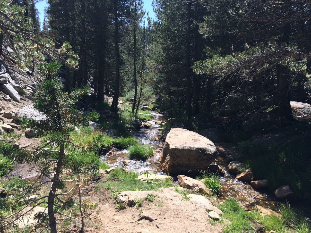 stream along the way
No water till end of day at creek crossing that I wasn’t sure was the trail.
1st Night
 big rock backdrop with fire ring and split log benches!
Slept in Wild Oasis. Not too buggy during dinner, none at night. Listened to John Grisham novel about poor law students (“The Rooster Bar”).
2nd Day
Crossed creek barefoot and found continuation of trail (hard to see before crossing).
Beautiful clear skies, perfect weather for second day in a row.
Crossed creek on my left I’d been following while lava rocks were on other side. Found log downstream to cross. Then came to wire fence.
Wrong trail. Back across log, follow run-down wire fence on my right.
GPS track lead me across meadow. Very wet. Up to knees at last wet area—a stream.
Up to old little buildings and hit trail.
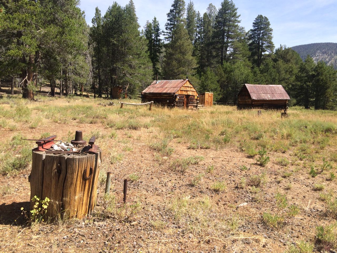
old buildings after crossing wet meadow
Turned left (west).
Followed weak trail for a while, then the GPS, then I was way off to the west. Worked my way back traversing long side hill.
A bit later I avoided hiking higher into lava rock and found I was too far East.
Got back on track and found a trail!
Lunch at creek.
Followed trail for a while then lost it again. Creek on left is my guardrail.
 somewhere off trail (again)
Slow up long hill. Not in top shape.
Knew I wouldn’t make Rocky Basin Lakes. Finally got to rounded top of uphill stretch, lost trail again. Down to meadow, crossed stream, found good trail, camped at north end of meadow.
2nd Night
Set up shelter, cooked and ate as it grew dimmer.
Got a little feeling of not wanting to be out here. Maybe due to not seeing anyone since first hour of first/previous day.
Dinner revived me. Later dark chocolate while listening to book pepped me up.
3rd Day
Immediately came to trail junction sign.
Excellent!
Followed good trail gently up to “Horse Trail” sign. It matched my route, but I took the “Foot Trail” option since it looked shorter.
Lost trail soon and picked my way through some boulders.
Got to big Rocky Basin Lake. Took break.
Made my own way angling up toward chute to saddle. Worked out well.
At top got view down into Siberian outpost. Easy walk down.
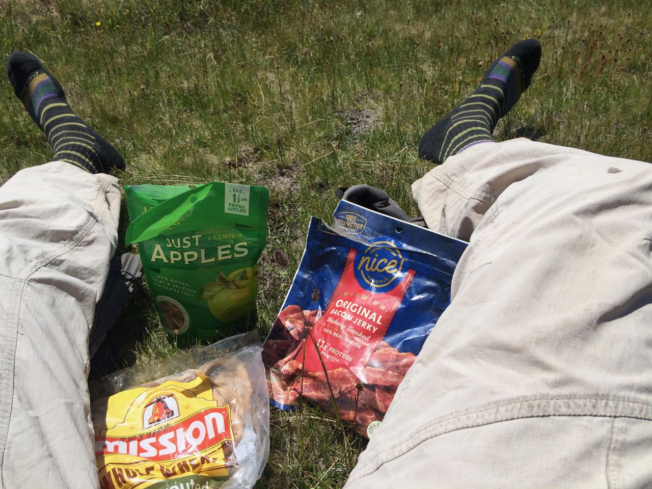 lunch
lunch
 view from lunch spot
Wide open country through that area.
 Siberian Outpost
Worked up through some trees to hit the PCT. Saw a man hike by north just before I got there. Then passed two women who said hello but didn’t seem inclined to stop and chat. They had the look of PCT thru hikers—might have come back to do the Sierra section.
Skipped Rock Creek Trail access trail thinking I’d find my trail soon. No luck. Went off trail again following GPS track. After a while found that trail I’d skipped.
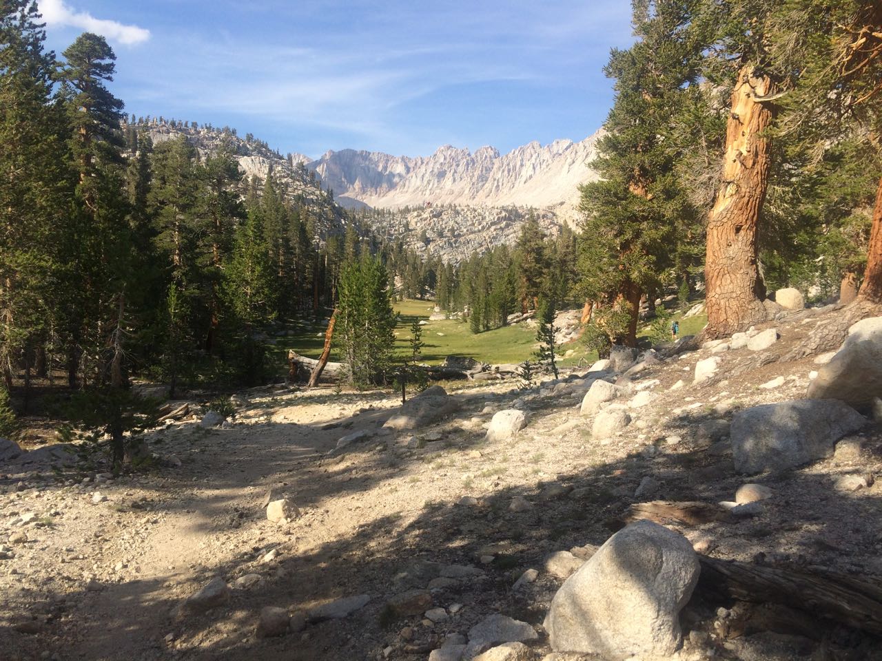
trail to Soldier Lake
Got to Soldier Lake trail junction, went a short ways and camped near two guys from Slovenia starting the JMT. One had a new HMG Dirigo tent.
Too tired to push 4 miles off trail uphill to Blue Sky Lake. Set up camp near bear box just above lovely meadow.
3rd Night
Big site for one person.
Not sure if Picaridin bug lotion is working.
Talked to one of two guys from Slovenia.
Bugs a bit buggy—Listened to my audio book while watching sun set behind slanted ridge across the green meadow.
4th Day
Started up toward Upper Soldier Lake on day hike (and hopefully up to Sky Blue Lake). Bushes down low, GPS track went up high, too much boulder hopping—turned around, went back to tent and packed up and headed back toward Army pass.
Long uphill approach to Army Pass.
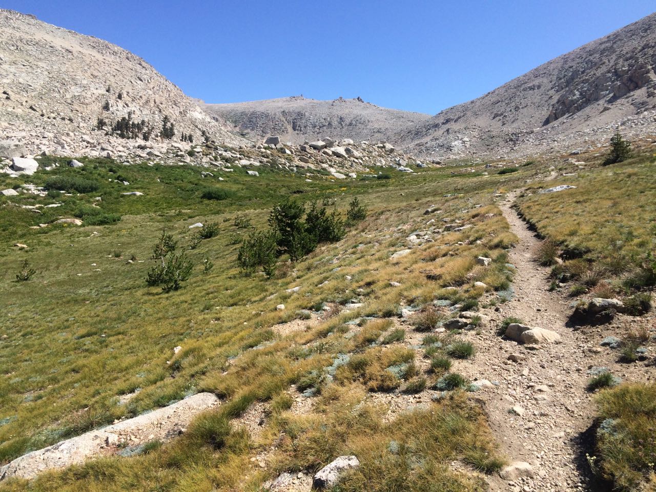 approach to New Army Pass
Got to unmarked trail junction, saw hikers in the distance going up and down a trail. Waited till one came near me to ask directions.
67 year old man said all those other hikers were peak-bagging Langley. He’d gone part way up, then thought better of it.
He thought old Army Pass was too rugged (he’d done it day before) due to snow and big exposure. So, I followed him up New Army Pass. Had lunch at top.
Down from New Army Pass.
 view down other side (south) of New Army Pass
Got to trail turning left to Cottonwood Lakes (with no sign!). Talked to Asian man waiting there for his two friends. They were all long distance trail runners who were doing Langley as a 22 mile day hike the next day. Yikes!
Walked up the trail to Cottonwood Lakes 4 and 5, chose first site I saw (not ideal spot).
4th Night
A bit windy listening to audio book sitting awkwardly in Wild Oasis—chilly outside. Sleeping was fine—no colder than other nights.
5th Day
Hiked up along Lake 5 a bit, then back along Lake 4 to its end to watch four trail runners go up old Army Pass to see where the trail went.
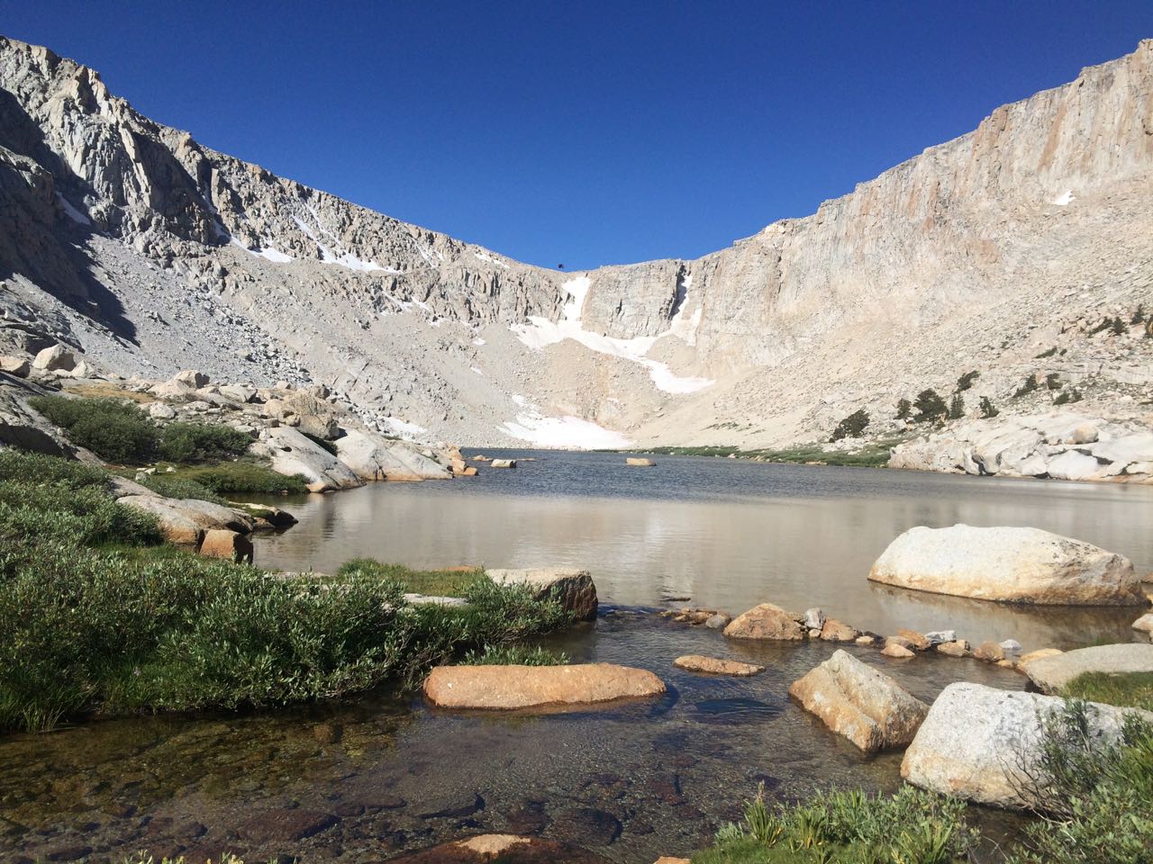 Cottonwood Lake #4 / looking toward (old) Army Pass approach
Lots of people told me yesterday afternoon it wasn’t really so bad, lots of people were doing it. Maybe another time.
Ran into older, very experienced, very know-it-all guy going toward pass. He said he now preferred off trail hiking—more interesting. He knew all about how to get to Miter Basin (Sky Blue Lake, etc). Said you need to go to the left side of Soldier Lake to get to Upper Soldier Lake (not the right side like I tried).
He and his two partners were doing that and then going over Crabtree Pass and out by Whitney.
Made me think I ought to try that sometime!
Hiked down what I thought was the trail I’d marked on my map, but was on a more popular one to the east a bit. Got down to parking lot by 2:15 pm and chatted with man my age about to start the JMT solo (starting with Cottonwood Pass—easier permit than Whitney Portal). Dave—nice guy.
Wandered over and found my parking lot and car. Done!
Shower at Whitney Portal Hostel, ice cream bar from grocery. Drove up to Bishop, had dinner at Jack’s (not so good this time). Drove into dark and slept in car on forest service road (?) on right.
Drove home next day, taking long tour of Bodie ghost town, then a nice long look at Kennedy Meadows resort and pack station (never been there before), chatting with retired, energetic woman in the saloon there.
Sizzler dinner (my post-trip tradition) in Manteca. Home by nine or so.

Great report. Cool trip. Liked photos. Appreciate brevity. Where to buy magical BACON jerky product?!
Thanks. These are the notes I wrote on my iPhone during the trip, hence the brevity.
First time I’d seen or tried the bacon jerky. Got it at Walgreen’s drug store here in Berkeley, CA. It was very good!
Great report. Very Nice photos. Thx for sharing.
Bruce—Thanks.

Love bacon jerky – I also get it from my local Walgreen’s in Seattle. No added sugar, unlike regular jerky.
SB
Doug,
Great area and report. I’ve spent a lot of time there.
A bit of trivia — before it became a designated wilderness area, Tunnel Meadows had a small airstrip. Back in the ‘70s my first wife and I were camped on the edge of the meadow and early in the morning a small plane landed and a couple of people deplaned with packs and fishing poles. Then the plane departed. My wife, who was on her first and only backpacking trip, thought those hikers were infinitely smarter than me, given the amount of walking we had done at high altitude.
Become a member to post in the forums.
 New Ultralight GearSee the latest releases in ultralight cottage-brand gear from small makers.
 © Beartooth Media Group Inc.
 Loading...