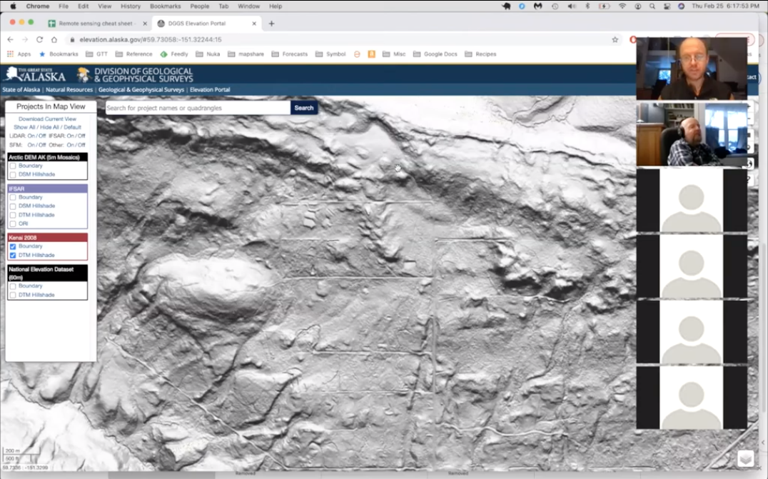
UL uber-adventurer Hig did a webinar last night (I’m the one in a green shirt) introducing multiple remote sensing worldwide data sets. Mostly in visible light like Google Earth, but also some with Lidar, Radar and Bathometric data sets as well:
Google Earth, ESRI Wayback, DGGS, Strava, our local Borough (county) parcel viewer, Sentinel EO, USGS, Digital Globe, NOAA, Shorezone and Arctic DEM

Even for (especially for?) people with GIS experience, he comments about which datasets are better for different tasks and some tricks for using them.
Runs 30 minutes. After 90 seconds of intro, he jumps into the websites/apps.
His spreadsheet of resources is in the notes as a Google document. Here it is: https://docs.google.com/spreadsheets/d/1b_Dy0tQoCOq4yJIxzQ3zAC38Lp7CqfUXsiNgc725oyQ/edit#gid=0

