My buddy David texted me. He was graduating from med school and would have a few weeks off before starting rotations and wanted to go on one last adventure.
A few years ago he had signed on for a backpacking trip to the Gila Wilderness with a few other people, but he had had to back out at the last minute because of an academic conflict. Would I be interested in going with him to the Gila? Well, I’d never heard of it before, so, yes! He called the ranger and asked for advice on a nice 5-day loop through the wilderness.
When the day finally arrived, I stopped to pick him up on the way to Detroit Metro. He said he had some troubling news. He had just made his first diagnosis as Dr. David — he had a kidney stone. Not sure what to do, we headed for the airport. We checked in, went through security, and arrived at the gate. He paced around and frequented the men’s room. He was in a lot of pain. It would be a long flight to Phoenix if something went wrong, I told him. How much would I hate him if he bailed, he asked. One has to do the right thing, I said. He informed the airline personnel, called his girlfriend for a ride to the ER, and waited for his backpack to be pulled from the plane. What would I do, he asked. I was going, I said.
I read his guidebook on the flight and looked for a shorter, more popular loop, as I am not very experienced in route-finding and would want to be more conservative going solo. I also considered alternatives like driving a car to the coast and visiting expatriates from San Diego to Seattle. When I arrived, I picked up my bag and hopped into my rental car. Before I left the lot, David called.
The stone was 3mm. It looked like it had progressed to his bladder and would be little danger now. He had loads of drugs. Would I wait the night in Phoenix? At 7:30am the next morning, I picked him up from Sky Harbor International Airport, and we headed for New Mexico.
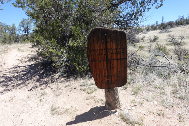
We started hiking late. The plan was to start on Miller Springs Trail. It was more of a wash than a trail, we thought. After an hour, the sun had set, we camped, and David worked on taking star pics with his new camera. In the morning we realized we hadn’t started on Miller Springs Trail, but on a dry creek bed. We bushwacked up to the trail.
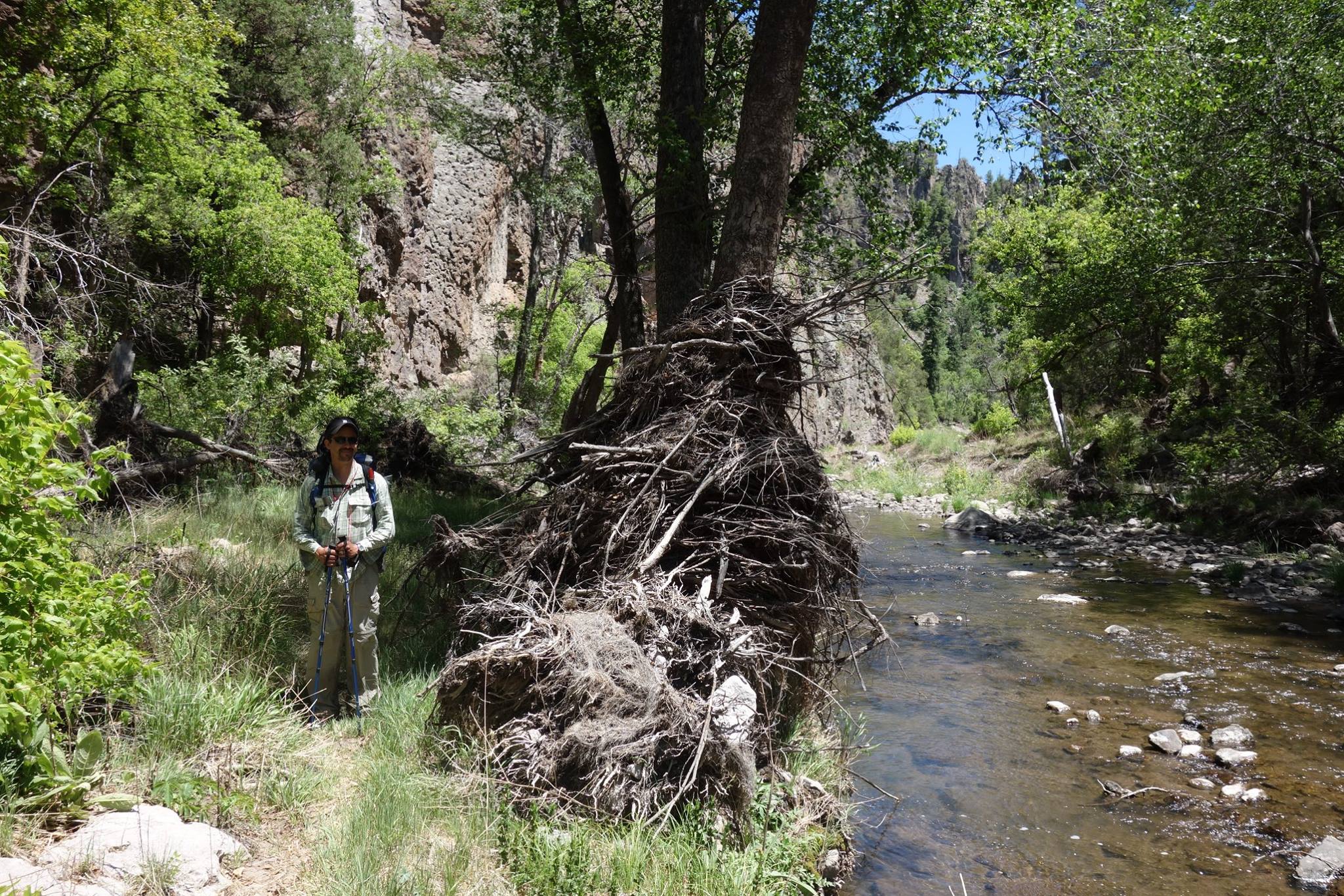
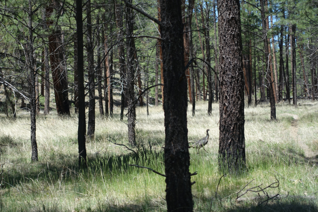
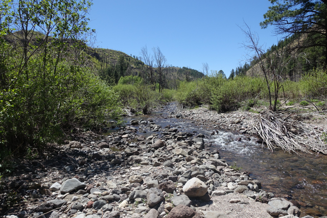
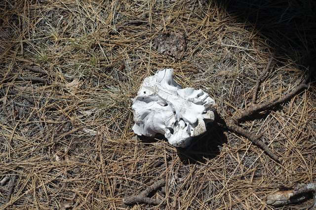
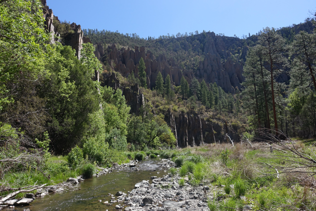
I was happy to be on an actual trail, and we proceeded to Little Creek where we would stock up on water. But Little Creek was dry. David was out of water. I shared a half liter with him and we continued on Little Creek Trail toward Little Spring under the unrelenting sun. We were now uncertain as to where reliable sources of water would be, and I have to admit that put me in a sour mood. We had close encounters with turkey and pheasant, but I couldn’t enjoy myself while worrying about the water. A couple hours passed before the water reappeared in Little Creek, and we filled up, and we started singing that miracle song from Fiddler on the Roof. Spirits were high, thirsts were quenched, and we proceeded on. But I started to bonk.
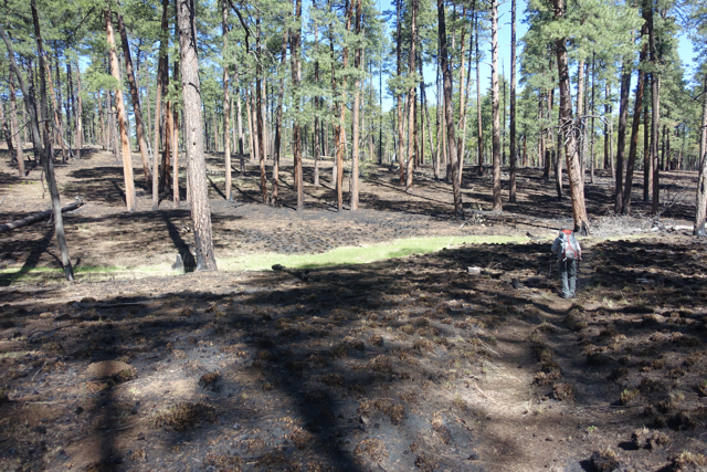
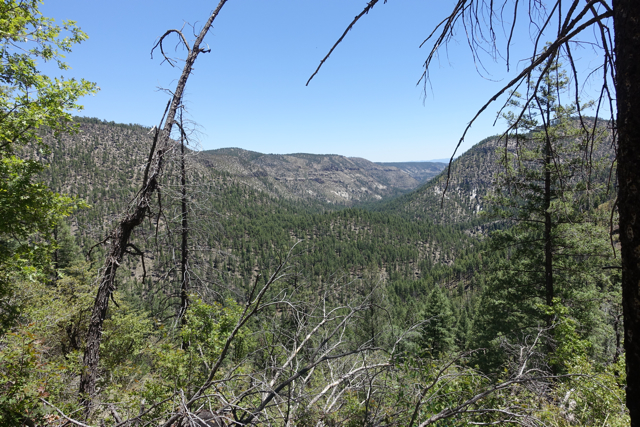
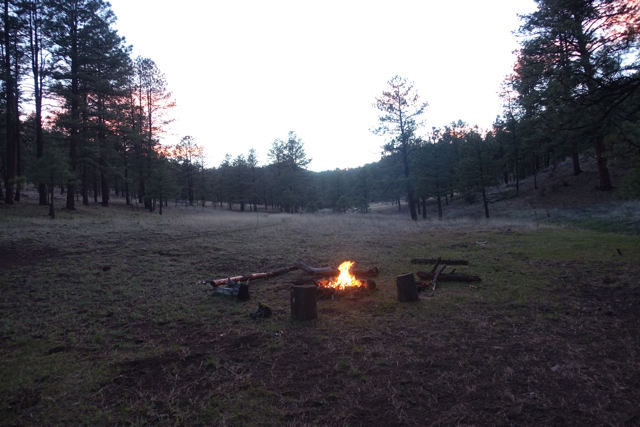
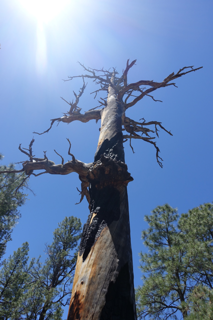
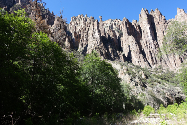
At Little Spring, David suggested I eat. We sat down in the bucolic setting and took off our shoes. I ate a bar and started to feel really bad. I couldn’t quite place the problem, but I was extremely uneasy. David massaged his feet on a giant rock. Finally I barfed. Dr. David said it was a classic presentation of exhaustion. I wanted to camp right there, but we had four more miles to go. I happened to know we had our biggest climb ahead of us, but David didn’t. I probably should’ve mentioned it. Anyway, David gave me an anti-nausea pill and we proceeded upward toward McKenna Spring. I felt sick and dehydrated and out of shape and I couldn’t imagine making it over the ridge, but it didn’t really matter — there wouldn’t be anywhere to camp until we got over the ridge and down to the spring. Near the top, everything was burned. Not only that, parts were still smoldering! As we began our descent, the terrain on the other side of the ridge was burnt too. Darkness was enveloping, my legs and feet were jelly, everything was crispy, and I was beginning to do what I usually do once per adventure: consider taking up golf. David arrived first at the bottom and surveyed for campsites. I got to the bottom and barfed again and howled when a charlie horse sprung on me. David told me to cross the spring where it narrows and come over to him. There were a couple of flat spots in the green grass along the spring for tents. Everything else in the valley was toast. A miracle? I had a cookie and tea and went to bed.
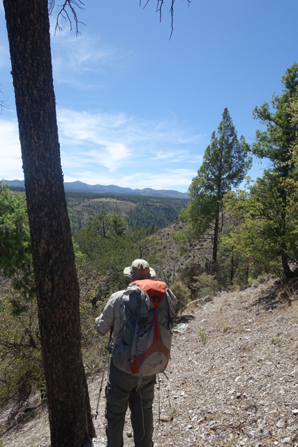
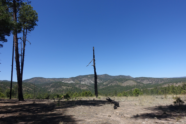
The next morning David looked at the map and arranged a shortcut to make up for the time lost to the kidney stone. We headed out through more fire-ravaged country toward White Creek, in which idyllic setting we had lunch. We proceeded up the scenic switchbacks of the Trotter Trail and headed for a campsite at Clear Creek. The next morning we continued on the trail and tried to connect with Trail 706, but it is no longer extant, so we followed the ridge and game trails and whatnot to the Middle Fork.
Finally on the fourth day we saw our first human, a CDT thru-hiker named Clutch.
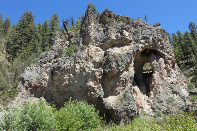
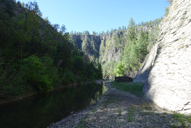
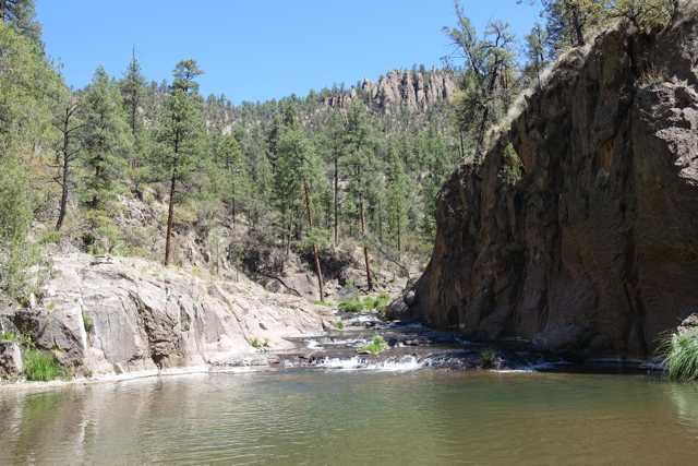
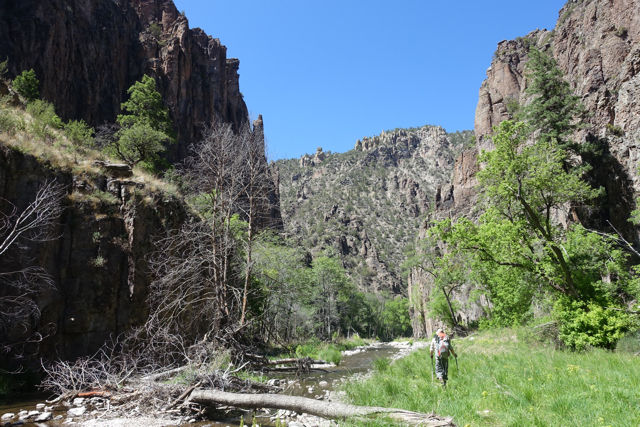
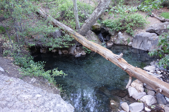
Now trails on the Middle Fork come and go, and one gets used to proceeding on one side until there is no land and then crossing the river and locating a trail on the other side and repeating. It’s wet, it’s rocky, it’s confusing, but it’s crazy beautiful. The looming canyon walls with their hoodoos and spires and caves go on for miles and miles until you just don’t care anymore. And then you get to the gorgeous Jordan Hot Springs where you soak your weary, stinky bones and camp in another ridiculously sublime setting and wonder what you ever did to deserve this.
Well, we met a nice fellow from Texas at the springs and walked out with him the next day through Little Bear Canyon. When we got to the car a Gatorade we had left was still cold and refreshing. That was a miracle, too.
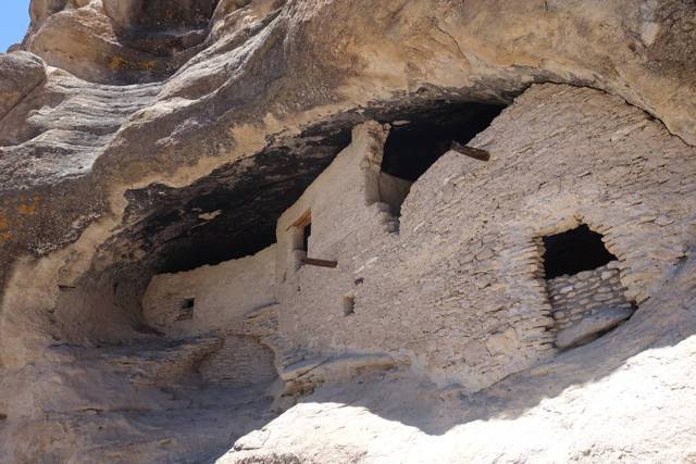
We visited the stunning Gila Cliff Dwellings.
On the way out on winding NM-15 we saw a sign for Doc Campbell’s Post: Homemade Ice Cream. I slammed on the brakes, did a three-point turnabout, and we had the best whatever-berry ice cream we will ever have. And I winced through the first couple ounces of an ice-cold Coke.
We stopped in Tucson to have dinner with a childhood friend of David’s. I asked her how they deal with the constant sun. She replied: We … are always happy?
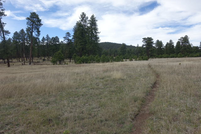
River bed or trail?
A trail! A sign!

Gobble…

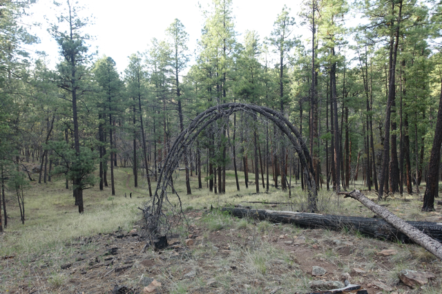
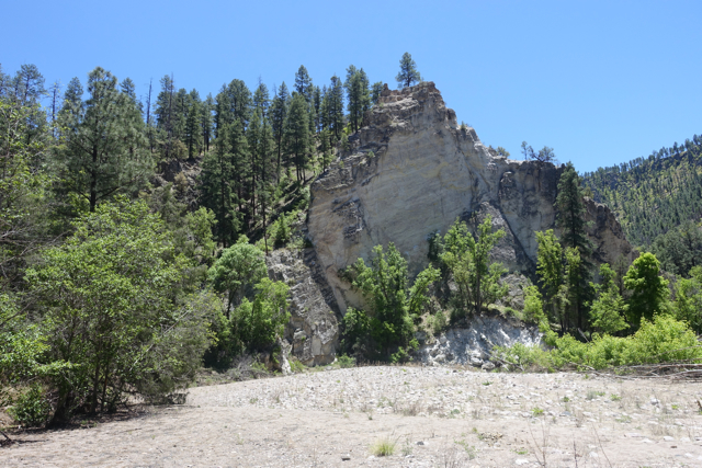
Slice of life in a scorched land.
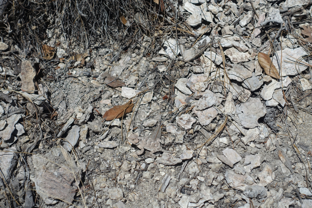
Camouflage.


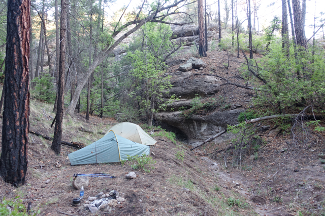
Jordan Hot Springs. After five days of hiking, positively, the most wonderful place on earth.

Gila Cliff Dwellings.

-Pete