I just did a 12 day hike connecting part of the Condor Trail to the PCT. I made videos. Here is a link to the playlist.
The Condor Trail is a backpacking/hiking thru-trail that extends the length of the Los Padres Forest along the coastal mountains of Central California. It’s a little over 400 miles long and the official route has Piru lake as one end and Botcher’s Gap in Big Sur at the other end. I’ve been lobbying Bryan Conant to make the Condor Trail less of a definitive thing like the AT or PCT and more of a route with alternates like the CDT. My hike was sort of an alternative to the southern portion of the trail. More information about the Condor Trail here. I think there have now been 3 successful thru-hikers of it.
My plans included some road walking around I5 near Gorman, but I yellow-blazed that area, so it’s not a pure hike. I cut off about a day or half a day with my yellow-blazing.
The Condor Trail portion of my hike blows most of the Southern California PCT away as far as beauty. There is total solitude there. With the exception of the popular Manzana trail, I did not see any other person on the trails for the first 9 days.
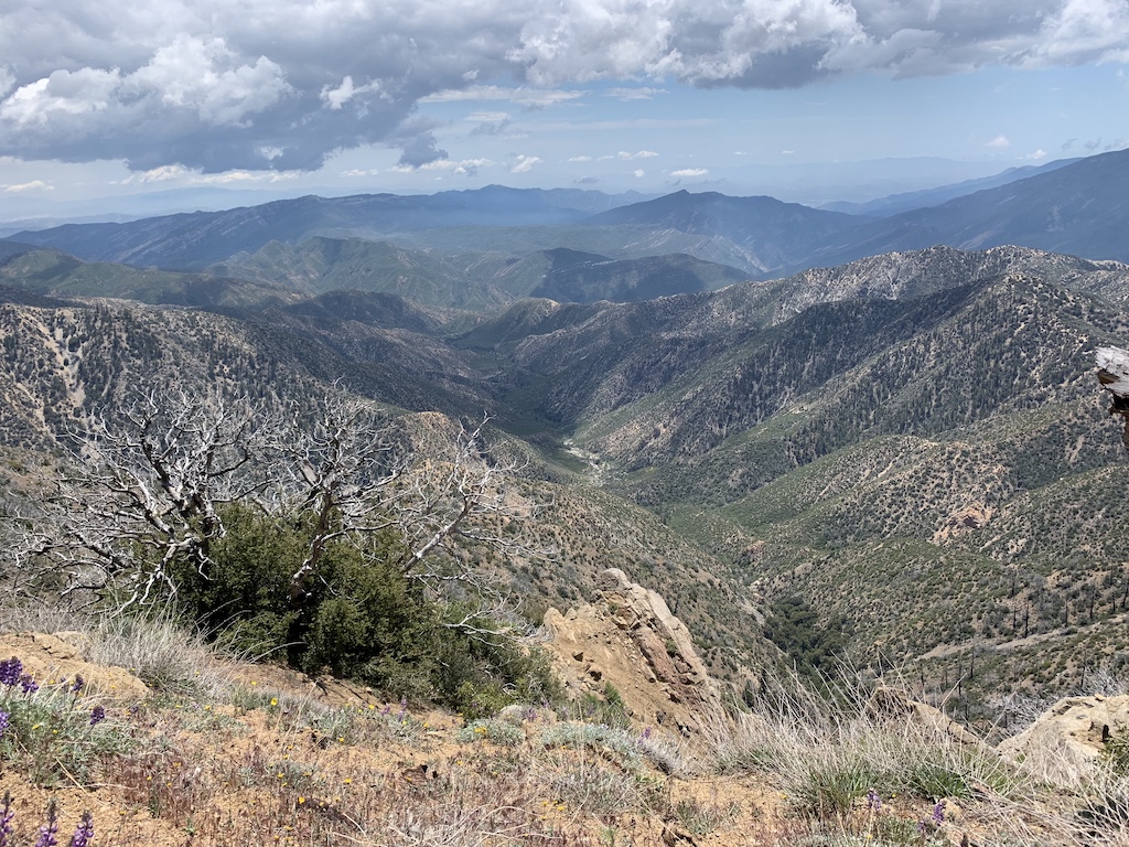
Here are a few pictures of the non-PCT part of my trip.
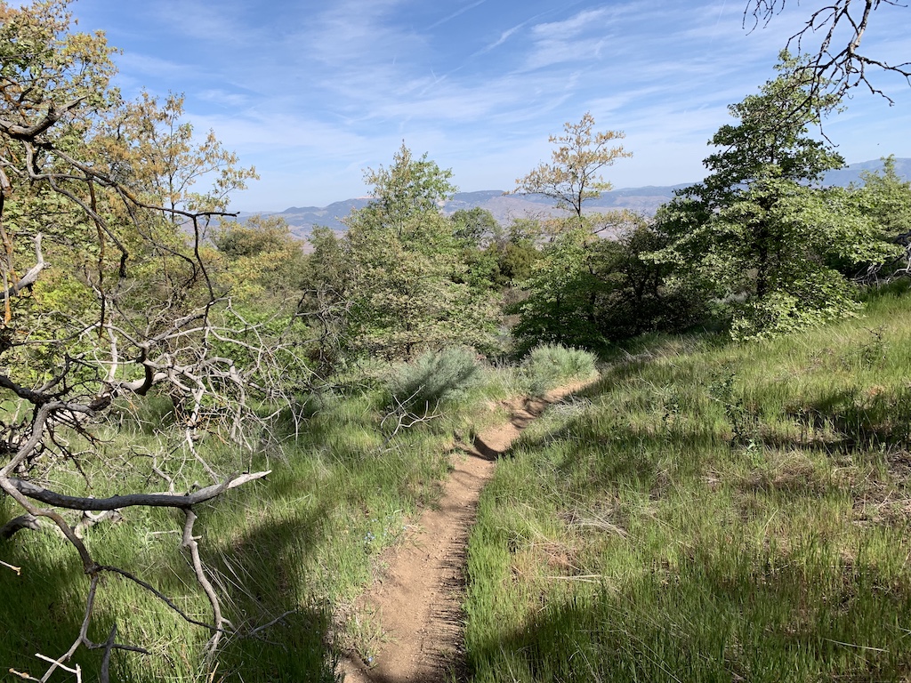
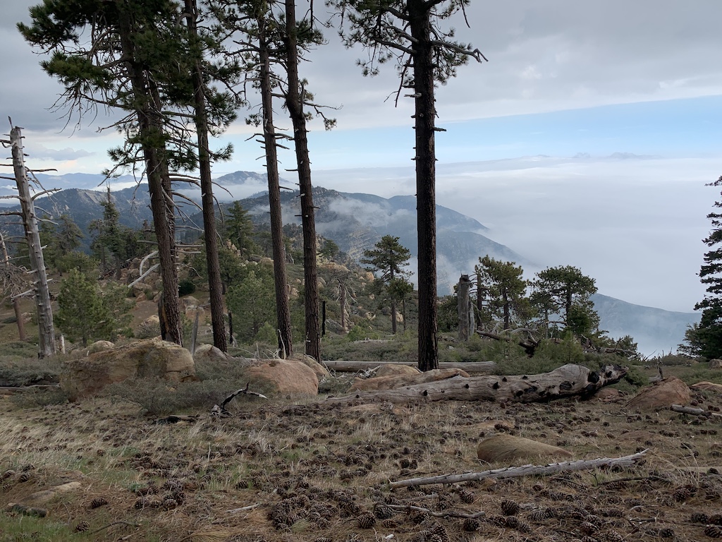
This is from near McKinley saddle in Santa Barbara County:
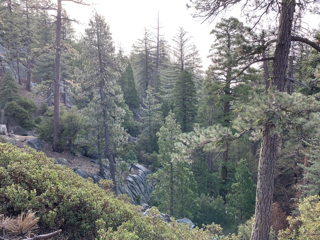
This is near Mission Pine Spring in Santa Barbara County:
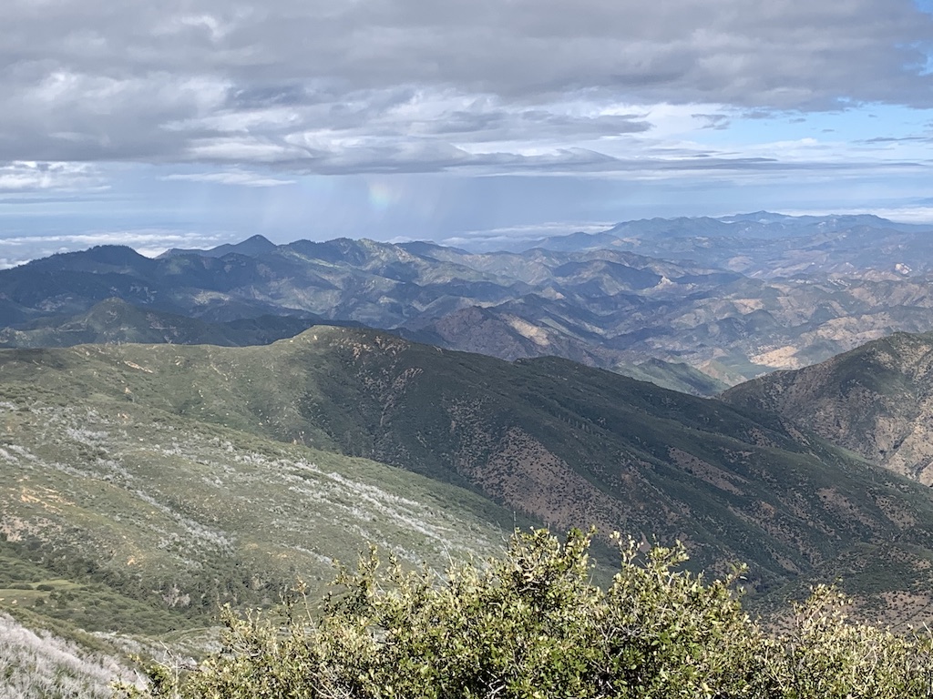
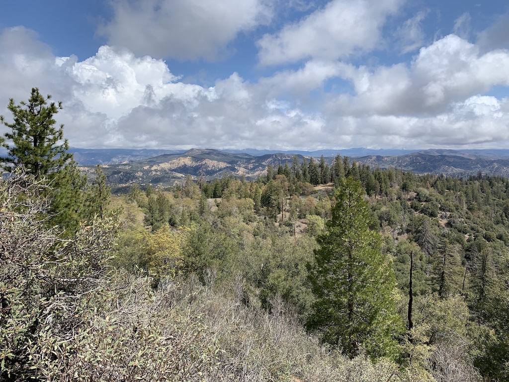
This is from Haddock Mountain in Ventura County:
From Haddock Mountain again:
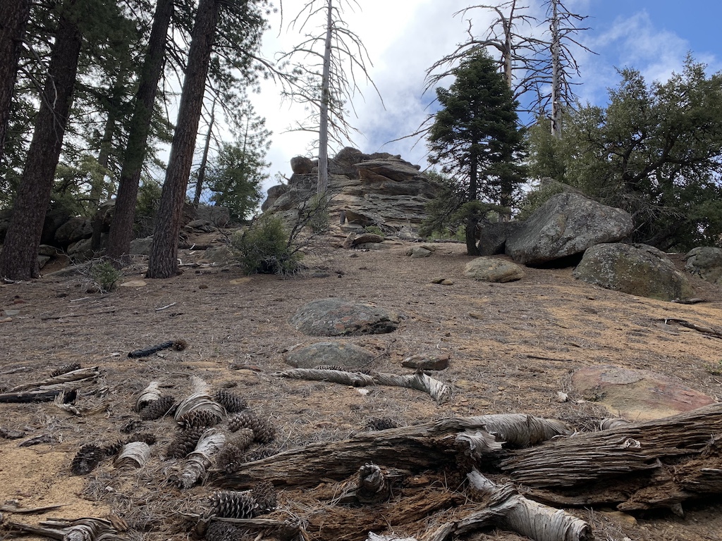
This is on the Gene Marshall Piedra Blanca trail in Ventura County:
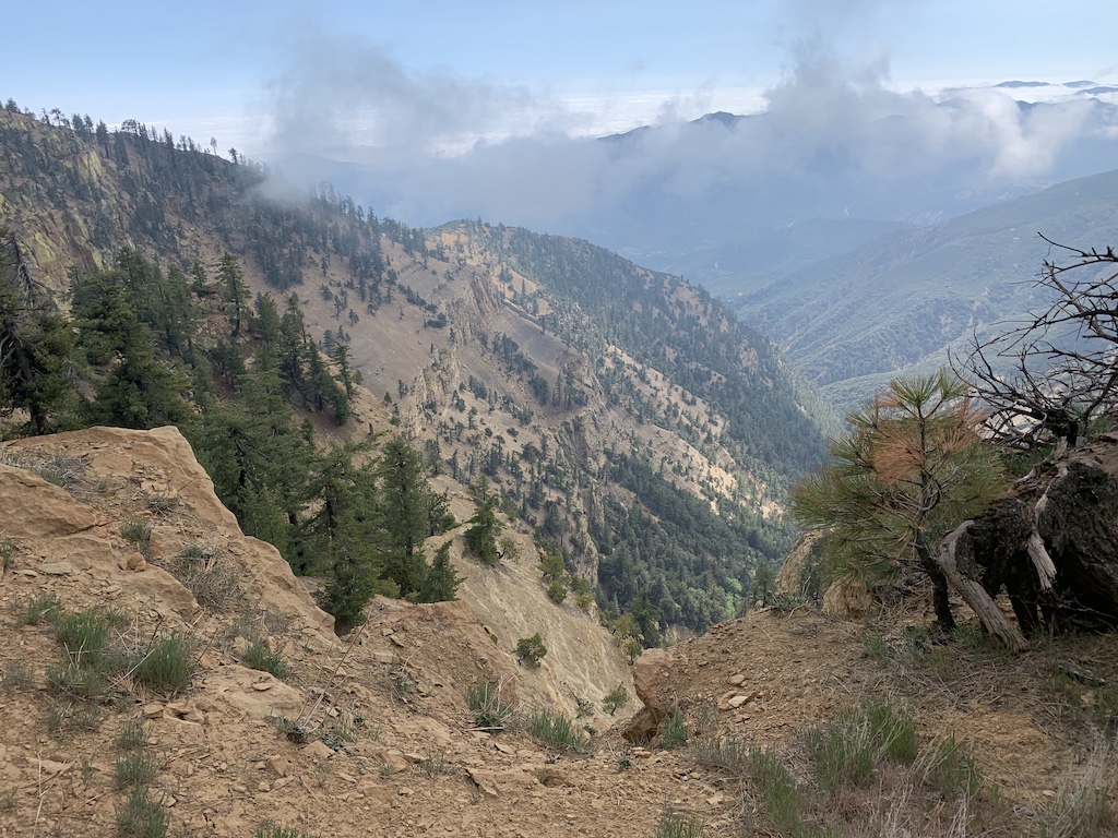
The Cedar Creek Trail in Ventura County:
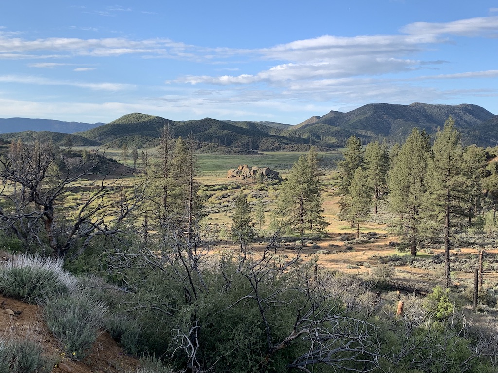
Mutau Flat in Ventura County:
Little Mutau Trail in Ventura County:
The mountain bike trail that starts from Sandberg on the topo map near I5, Los Angeles County. This connects to the PCT and will probably become the PCT someday when they purchase enough Tejon Ranch property to connect to the Tehachapis.