I’ll be doing some difficult and often unmarked traverses next summer and am a bit confused if I want to download gpx route or track files from 14ers.com. I’ll be using the Caltopo app on my iphone and with gps active want to be sure I’m correctly following the downloaded route.
advertisementYour privacy is protected: We do not transmit your user data to third-party ad platforms or advertisers, and we do not host third-party tracking pixels. Backpacking Light serves ads on its own custom, native, and internal platform.
Anniversary SaleMay 15 to 25 - REI's biggest sale of the year.Topic
Caltopo — gpx Route or Tracks
Become a member to post in the forums.
- This topic has 6 replies, 5 voices, and was last updated 5 years, 6 months ago by
 .
.
Viewing 7 posts - 1 through 7 (of 7 total)
You will want to do Tracks for anything with cross country. Tracks will display as a line that you can follow.
Also make sure you practice following a track before your trip.
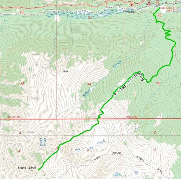
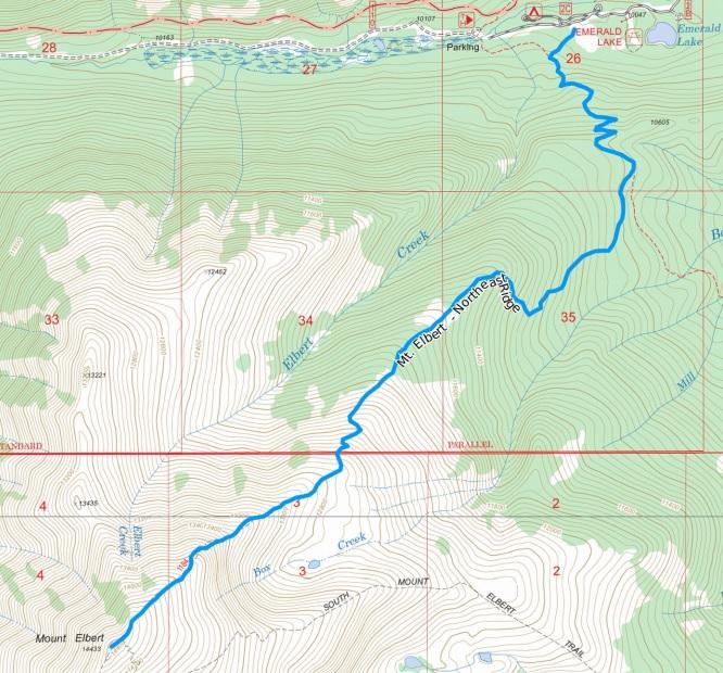
I haven’t honestly found a difference. Ultimately they import and display the same way on Caltopo. Below, the first image in Green is the Track, the second image in Blue is the Route. Ultimately you are just following a line on your map and as long as they plot the same there is no notable difference.
A track is something recorded by a gps device carried by a hiker, etc. The tend to be more detailed (more points defining the path) but replete with any gps location errors, the traveler going off the desired path, and whatever else the gps recorded that may not be useful for your navigation. It is literally a gps record of where someone traveled.
A route is a planned path that someone drew ahead of time. They tend to be less detailed but can still be very accurate if the are ‘snapped’ to known trails, or the person drawing them is seriously experienced at it.
Comparing a route (planned) to a track (actual travel) for a given trip can be interesting. I’ve gotten very good at planning my routes for Alaskan backcountry travel and the subsequent tracks often trace them closely. But not every obstacle can be anticipated and sometimes I get to a section of the route and think, “yeah, that’s not gonna work.” And so my ultimate track differs, lol.
I experimented this past weekend on a short 7 mile hike. I outlined the known route before I left then “recorded tracks” on my iphone synced Caltopo app. gpx followed and recorded my steps and I could see when I went off my drawn trail a bit. I was confused by the option between tracks and route “type” in the option box. Your responses are helpful. Thanks.
The original question was specifically addressed about 14ers.com website where it has routes and tracks for the same destination. I posted a thread on that website and the website owner responded on the question with this statement “Yes, they represent the same line but are treated differently when loaded to a GPS or mapping app so the the one you want depends on which functionality you prefer to use in the GPS/app.”
my assumption is on 14ers.com the track has many more points in the gpx file vs route however the route seems to have enough points in the right place to follow line pretty closely.
https://www.14ers.com/forum/viewtopic.php?t=59292&p=727960#p727960
On many dedicated handheld GPS units, like my Garmin GPSMap 62s, a single route can contain a MAXIMUM of 250 points.
That still applies to newer models like the GPSMap 64x.
By contrast, a track log can contain 10,000 points.
A GPS route is something you can follow using the “Follow route” feature on the GPS, and it will guide you point to point. A track log is something you record, and maybe view on the GPS, but you don’t follow them.
The 250 points per route limit is why when preparing a route in Caltopo that’s going to be used on a dedicated HandHeld GPS, it’s important to use the “Resample” tool to resample the route to a max of 250 points.
I’m not sure if any of the smartphone GPS apps have similar limitations (Caltopo, Gaia, BackCountry Navigator). One may have to dig through their specs or contact support to ask.
By the way, my Lowrance handheld GPS receivers had a much higher points per route limit. They were pretty darn good back in the day, but the dedicated GPS market really imploded when smartphone apps became viable and popular.
Viewing 7 posts - 1 through 7 (of 7 total)
Become a member to post in the forums.
advertisementYour privacy is protected: We do not transmit your user data to third-party ad platforms or advertisers, and we do not host third-party tracking pixels. Backpacking Light serves ads on its own custom, native, and internal platform.
 Anniversary SaleMay 15 to 25 - REI's biggest sale of the year.