I was recently able to sneak in a short trip to the W wilderness in the San Juan range during monsoon season. This was the third in my series of trips trying to recreate the route that my wife and I took in 2009 through the Grenadier and Needle ranges. That was before I was using GPS so I have no waypoints to follow, and we have been trying to recall where we went based on photos and our fuzzy memories. My main goal on this trip was to visit the off-trail V Lake and see if I could identify how we got in and out in our previous visit.
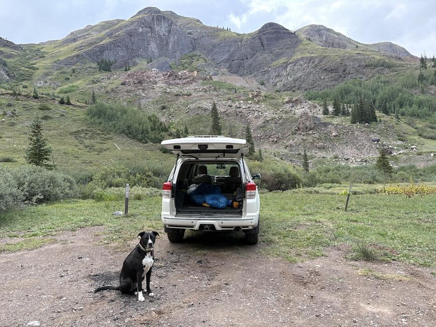
I drove to a high TH near Silverton and slept at the TH to get the most of the next day, which was expected to be wet. I’m still hanging on to my Gen5 4Runner because I can sleep in the back.
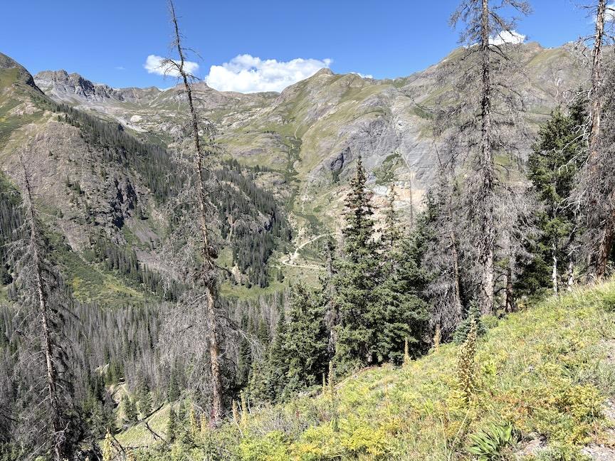
In the morning, we climbed steeply through spruce forest and emerged into rolling tundra at about 12k’. Shortly afterwards, we joined the CT/CDT, which are briefly the same trail.
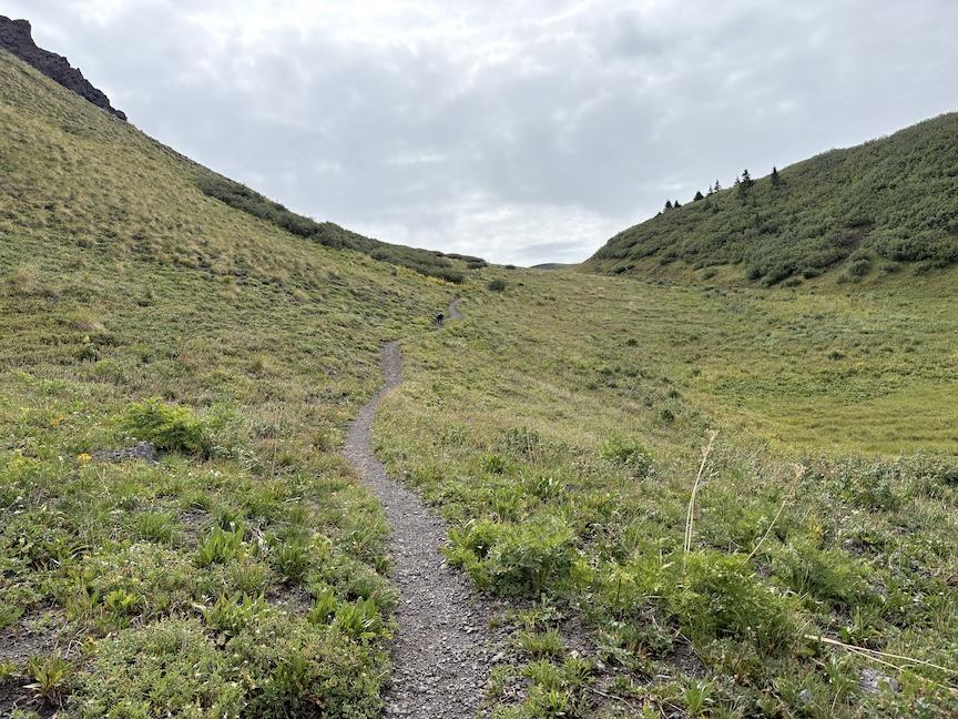
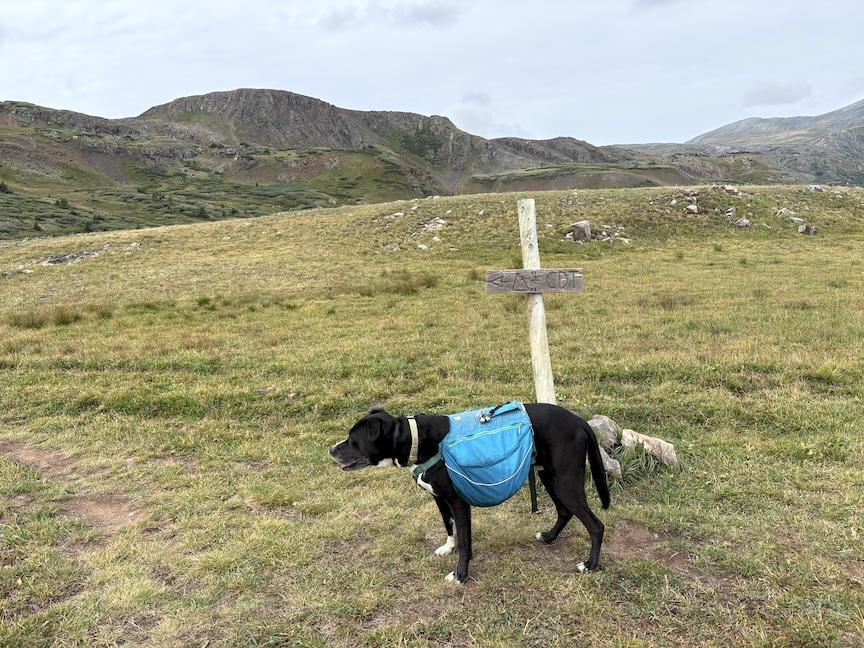
The combined CT/CDT track rolled across the tundra above 12.5k’ for several miles, the CDT split off first, and eventually the CT turned west down Elk Creek canyon, and I stayed on a high ridgeline heading towards Hunchback Mtn, which was my landmark.
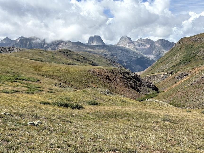
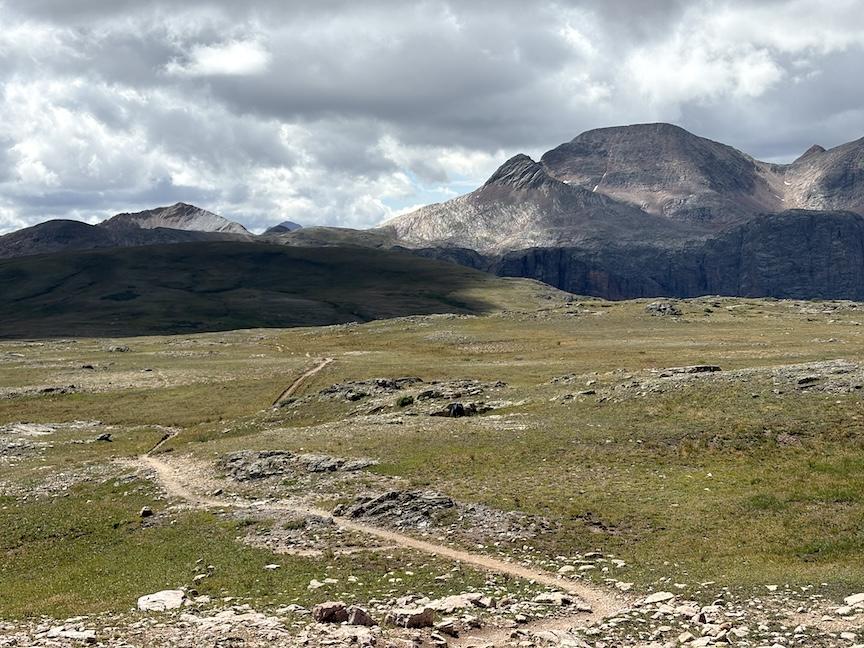
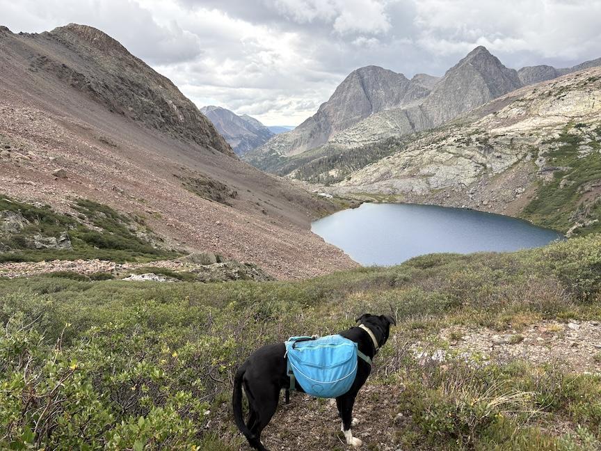
To that point, we had luckily been dodging storms all day, and fortunately I was able to get through a pass and across a ridgeline. However, as we descended a steep drainage through dense willows, our luck ran out and we got hit by a thunderstorm with violent hail. We had to shelter as best I could in the willows, because Max really hates hail, and we couldn’t move quickly in that terrain. When the storm slowed to just showers, we finished the descent and made our way around the rocky shore. I set up the tent near where we had camped in 2009 and tried to dry out a little before dark.
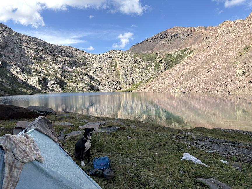
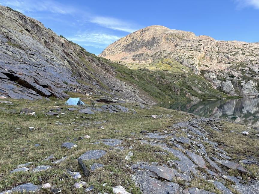
As I scouted around below the lake near our tent, I was able to confirm the route we followed to get to the lake in 2009. We had bushwhacked from below up the V Creek drainage below the lake. However, there was still the question about how we left the lake, and our best guess from looking at photos and maps, was that we had climbed out to the left of the rocky slope, made our way to the west of a nearby peak (White Dome), and descended down a gully towards the Elk Creek drainage. I confirmed that there were public tracks on Gaia showing that people had done this, but it looked very steep both climbing and descending.
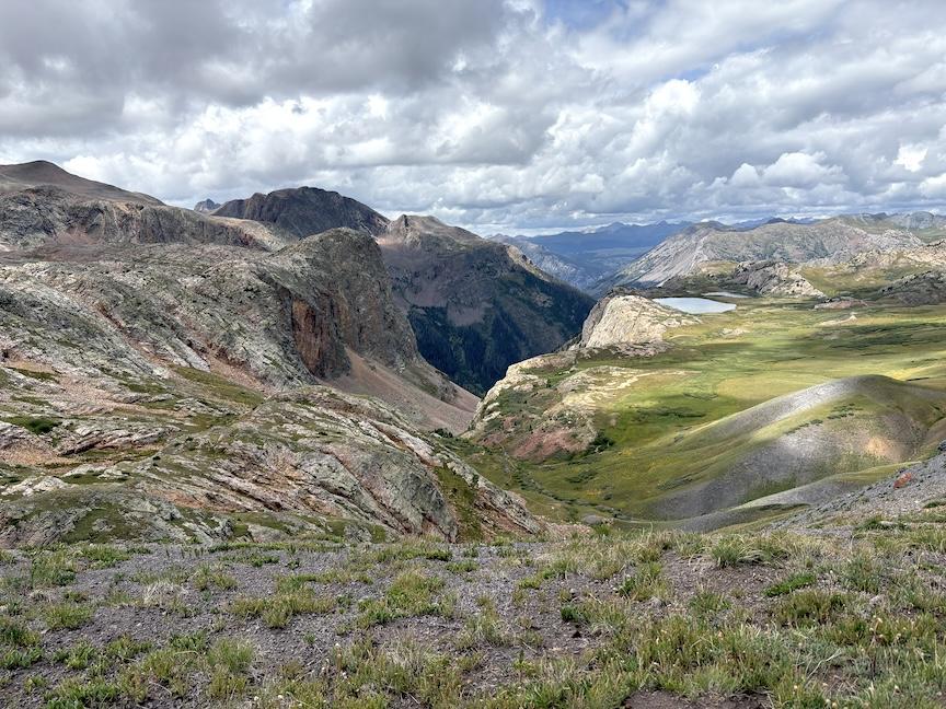
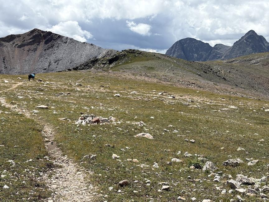
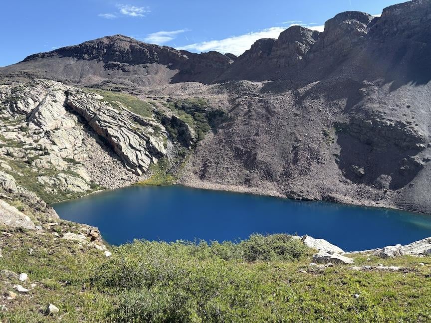
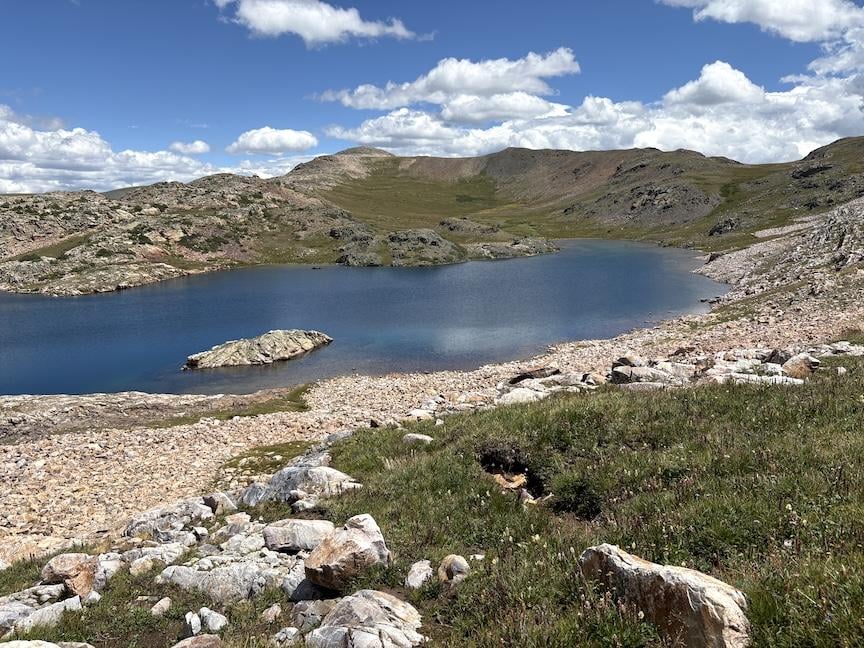
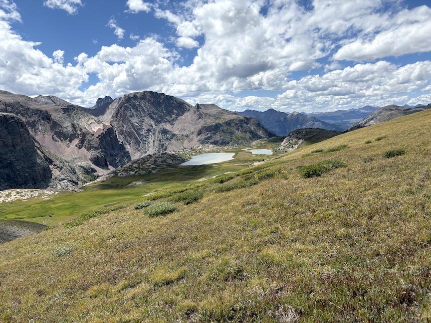
As it turned out, the climb up to the unnamed pass west of White Dome was pretty easy going. The weather was beautiful and I took a photo of the lake as we passed it from above. We were able to follow strips of tundra most of the way, and even the last few hundred feet, while rocky scree/talus, were easy to navigate. Max got way ahead of me, but stopped to wait at the top of the 13,200′ climb.
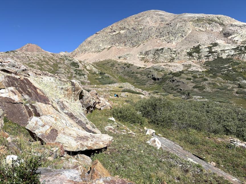
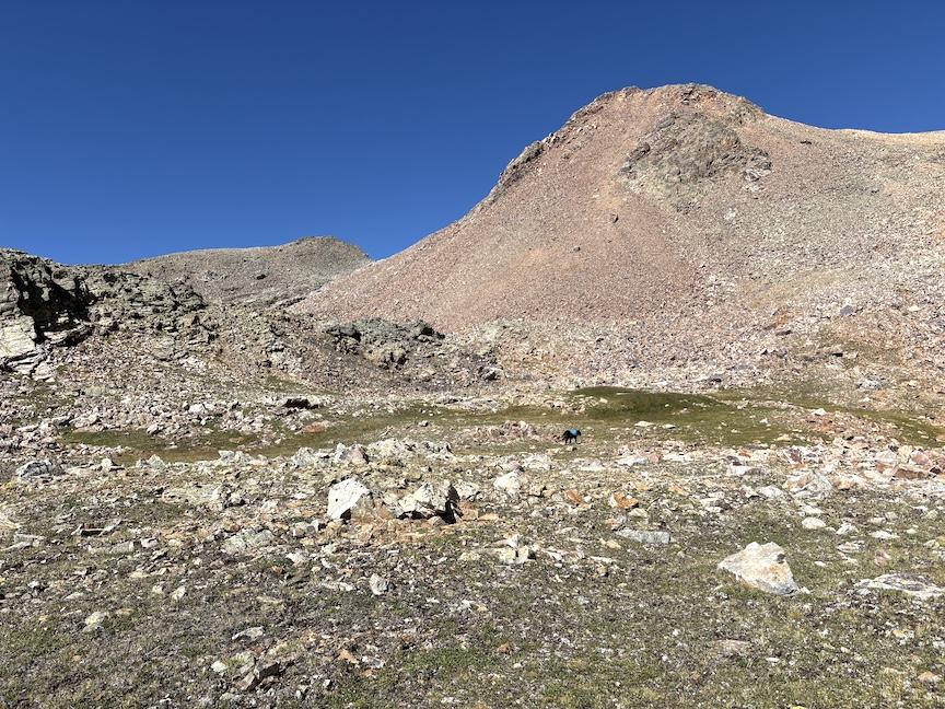
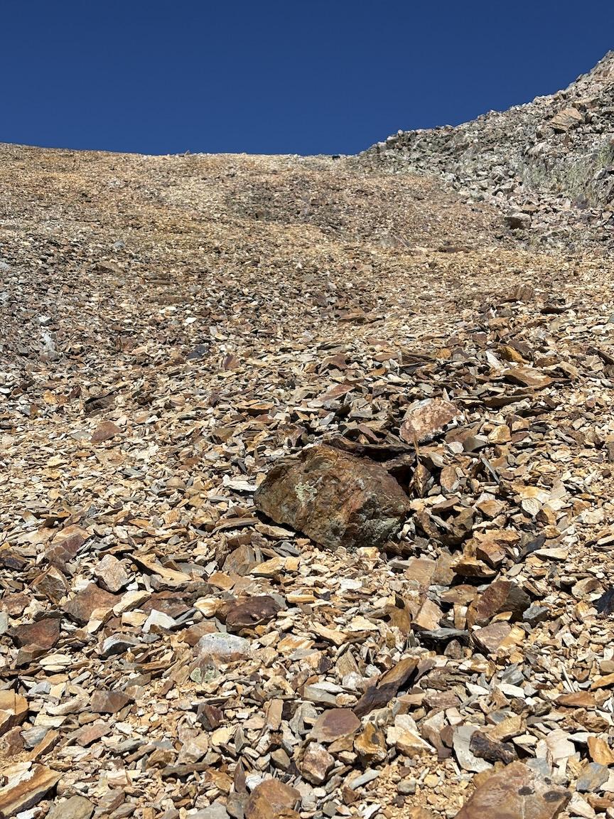
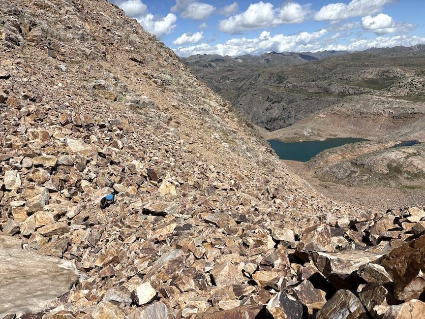
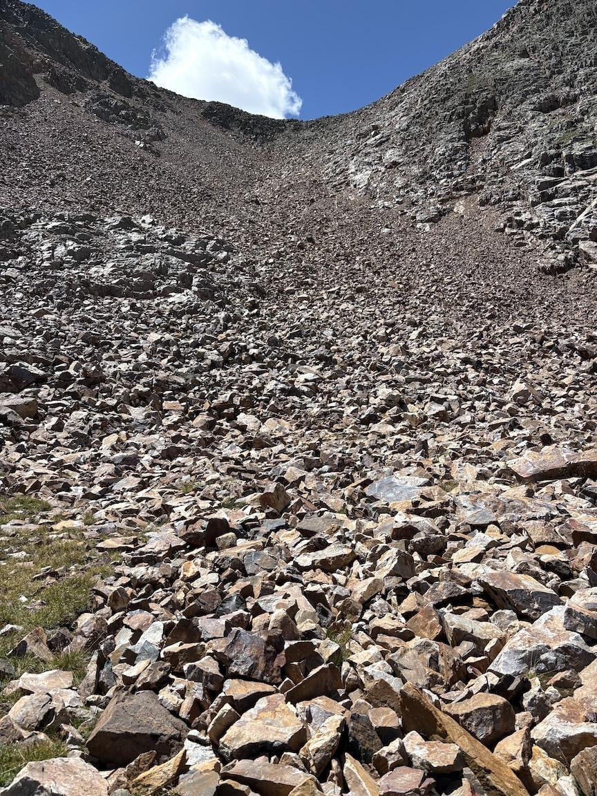
However, when I looked over the ridge at the descent, it took my breath away and I definitely felt some trepidation. I had no memory of this from 2009, and even if there had been some snow, I think I would have remembered it. We had two dogs with us at that time, and one of them was a lot smaller. I seriously considered back-tracking, even though it would have meant adding thousands of feet of vertical and several miles to the day. As I studied it, I felt that I could scramble down slowly. TBH, with any of my other dogs, I wouldn’t have tried it, but Max is an excellent climber, strong and sure-footed. So I put away my trekking poles and started down, on my butt at first, and then using my hands as much as my feet. It was an avalanche chute with loose rocks of every size, so I needed to make sure that Max wasn’t following me, it was a relief when he started to lead the way. It took us more than an hour to safely descend, and I think we were both relieved and happy to take a break and have a snack when we reached the pond at the bottom. (FWIW, when I showed these photos to my wife, she immediately said that we hadn’t taken that route. But indeed there are several public tracks on Gaia.)
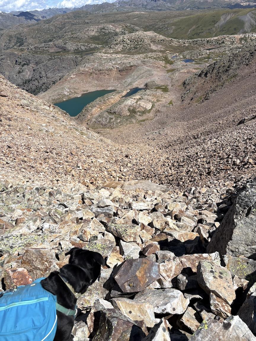
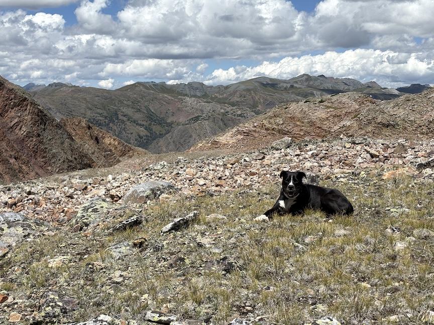
Afterwards, we passed by lovely Eldorado Lake and a fisherman who was surprised to see us there, and climbed back towards the CT heading back to some unnamed ponds where I had camped before. We spend a peaceful night there in the company of a cow moose and her baby (they were far away across the lake and I didn’t take photos.)
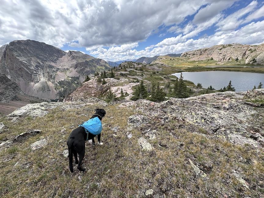
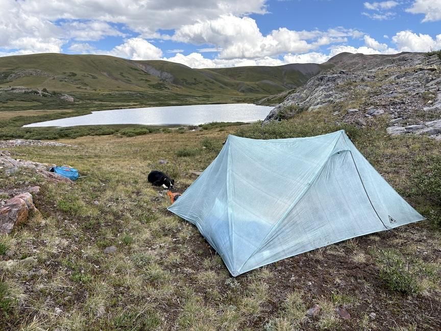
In the morning, we took a cross-country shortcut back to the CT/CDT, crossed the tundra and then descended back into the gulch and the TH.
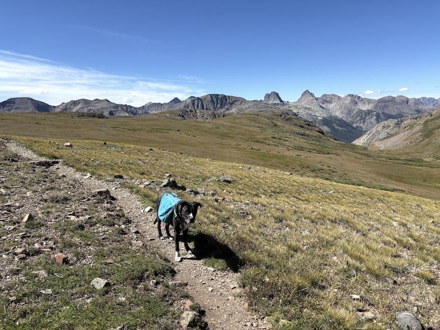
FWIW, after returning home, my wife and I were able to use my observations to reconstruct our route from 2009. As I suspected, we had not descended that avalanche chute, but instead climbed out of the lake more towards the right, and gone around the east side of White Dome. :facepalm: