I am planning a hike across the Southern Los Padres National Forest. My plan is to start at Nira and hike to Agua Dulce (which means to leave the LPNF and hike into the Angeles National Forest.)
So far I’ve got a route. I planned out the route using a combination of the Condor Trail website, Gaia GPS and Google Earth as well as various google searching. I would map out a portion of the route on Gaia’s website, export it and import it into Google Earth and see if I could see the trail or see if I could see anything interesting, potential shortcuts or whatever.
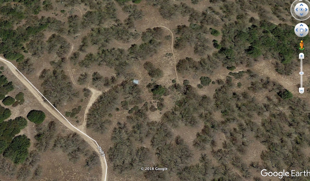
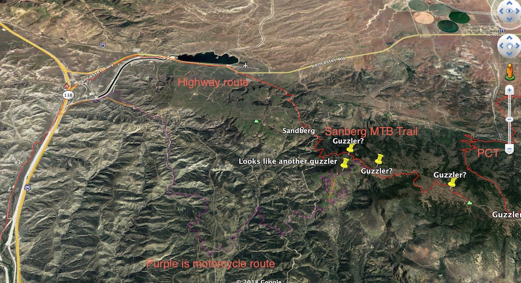
One thing I saw that was interesting were guzzlers. You can see guzzlers from space!
The PCT Data book and most other PCT resources only list two guzzlers in the segment that runs from Horse camp to Agua Dulce. There are a lot of guzzlers up there in the Liebre mountains to the west of the PCT so I marked them all on my route.
Google Earth also shows a trail near all these Guzzlers.
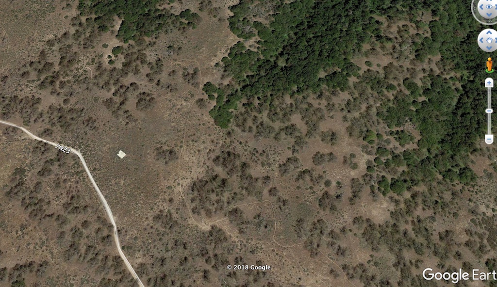
I was curious because there is no trail on the topo. It appeared to start at a place called Sandberg and went all the way to the PCT. A google search led to me learn that there is a mountain bike trail there. I found a nice slideshow of someone’s MTB ride on the Sandberg trail from Sandberg to Liebre Mountain and someone’s horseback ride on the same trail. Another name for this trail is Golden Eagle Trail and this guy has a map. Wow, cool! Now I just have to figure out how to get to Sandberg from the west of I5.
Turns out there’s a motorcycle route people take that starts near Quail Lake. With a lot of twists and turns, it adds extra distance to take the motorcycle route to get to the Sandberg Trail over the alternative which is to hike on Highway 138. Well, this is a backpacking trip after all so maybe that’s not so bad.
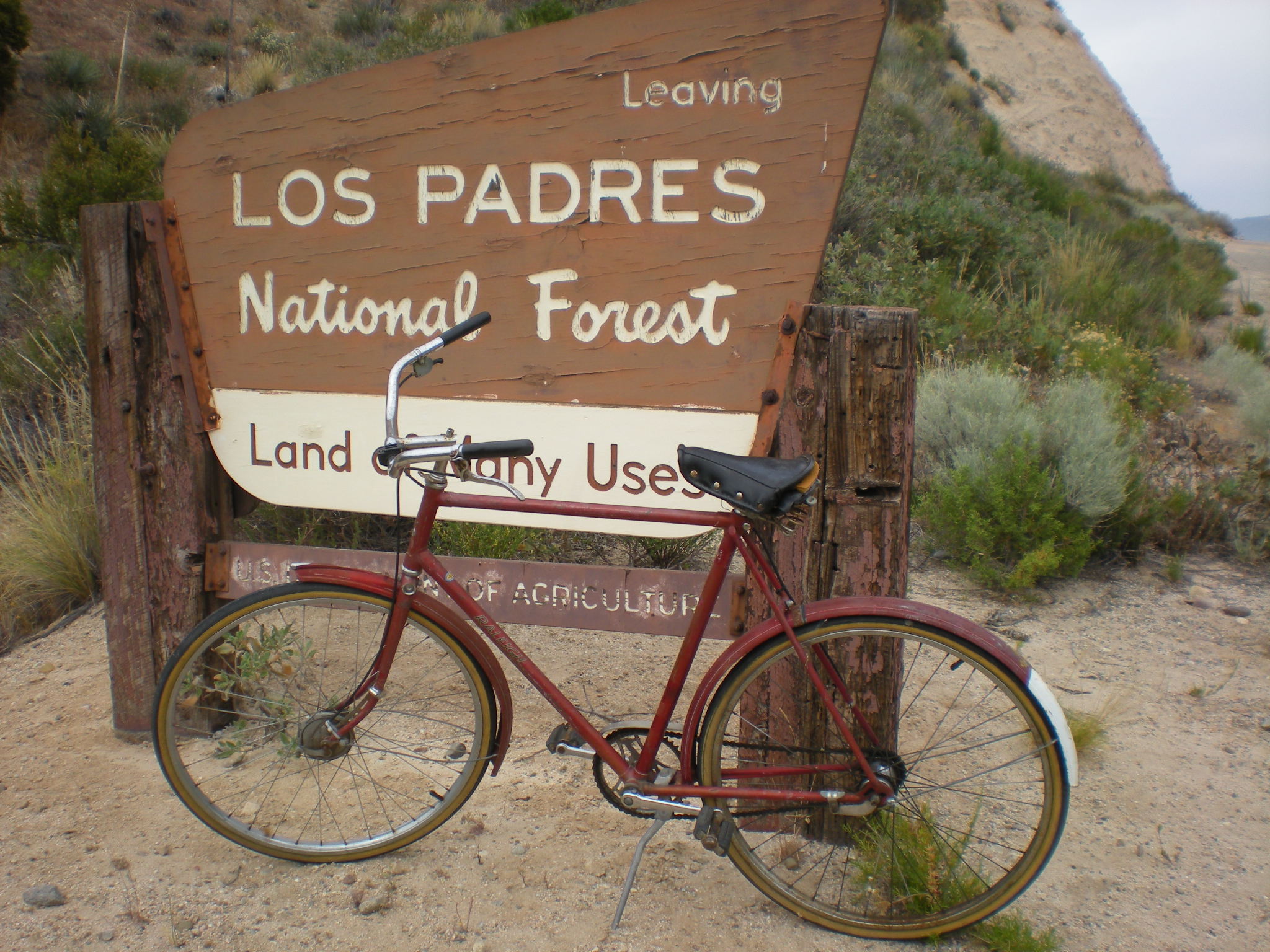
In 2009 I hiked from Santa Barbara to the PCT, (I started further east and hiked further south than most of this route I’m planning) but when I got to Los Alamos campground near Pyramid Lake, which is next to I5, I had planned to ride my bike along highway 138. When I got my bike out of the bushes where I had hidden it, it turned out it was really hard to ride a bike with a big backpack on, especially this bike that had only 2 out of 3 working speeds, shitty brakes and was too big for me.
So rather than ride my bike all the way to Hikertown (Neenach) on Highway 138, I got a ride. Maybe this time I can hike the OHV route and thus spend only a minimal amount of time on frontage roads around Interstate 5. I found videos online of people riding these OHV routes and it does look pleasant much of the way. A lot of people seem to like to ride OHVs in the Lake Hughes to Gorman area. I found this video and hope that my route will include the gigantic tree that is shown.
Back in 2009 when I did my hike from Santa Barbara to the PCT I got lost near the start of the Buck Creek Trail and ended up going down what I have now learned is the Big Cedar Creek trail. This was a lovely trail, but since I wasn’t sure where I was, I became alarmed when it started taking me to Hungry Valley, so I bushwhacked down Snowy Creek instead, which was horrible. It turns out that had I stayed on Big Cedar Creek it would have met with Piru Creek and I could have bushwhacked down Piru Creek a lot easier. I may decide to do that on purpose this time.
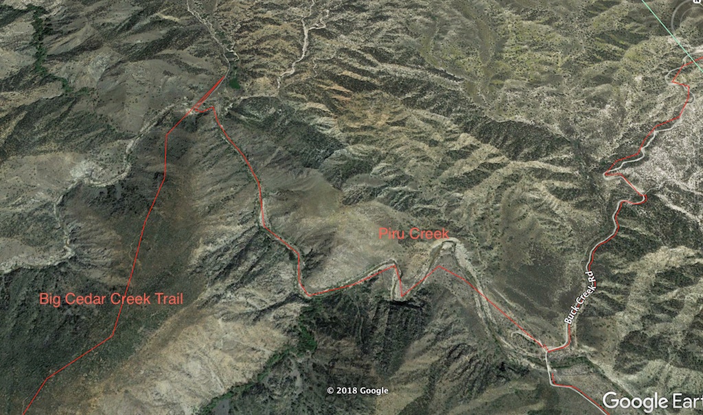
A local guy seems to go out in that area a lot and he posted a recent trip report of the area around Big Cedar Creek.
So all this planning had me so excited to do this trip in April. I did some testing with my gear, I picked a date, and then…a combination of my boss being on vacation at that same time, our big release date for the update we’re doing and me being the only programmer in the group who knows how anything works conspired against me. I have had to put this off to May. But May’s good. I just have to live with the anticipation for an extra month.