Topic

Great Western Divide ~ July 2014

  • This topic is empty.
Viewing 15 posts - 1 through 15 (of 15 total)
Andy Duncan BPL Member
PostedOct 6, 2014 at 2:12 pm

Earlier this summer I left from Horseshoe Meadows in the Southern Sierra for ten days of solitude, ten high Sierra passes, challenging cross country climbs and whatever (mis)adventures that might happen along the way. The plan was to crisscross the Great Western Divide from the Kaweah Peaks to Mt. Brewer but along the way the trip took some unexpected turns. . .

Great Western Divide ~ 2014

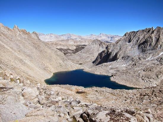
Kaweah Basin:

Kaweah Basin

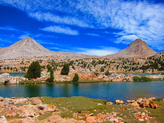
Cross country route finding:

Cross Country

After thunderstorms:

After the storm

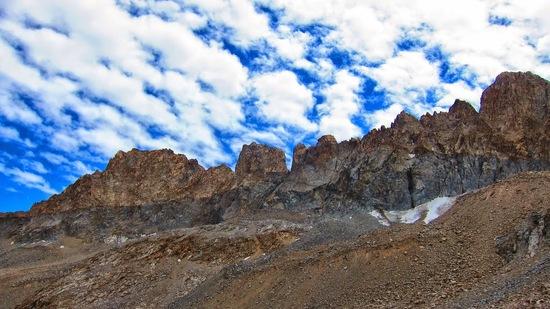
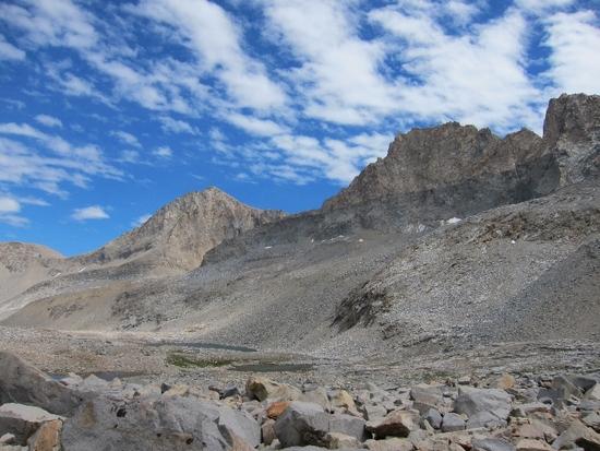
Kaweah Peaks:

Kaweah Peaks

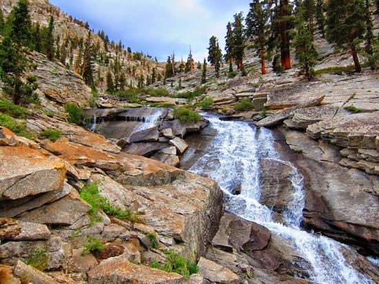
Rocky creek:

Rocky creek

Picket Creek pass:

Picket creek pass

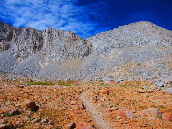
Colby Pass trail:

Milestone plateau

Milestone Col:

Milestone Col

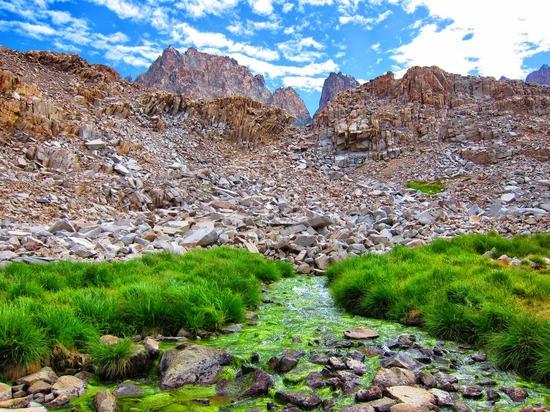
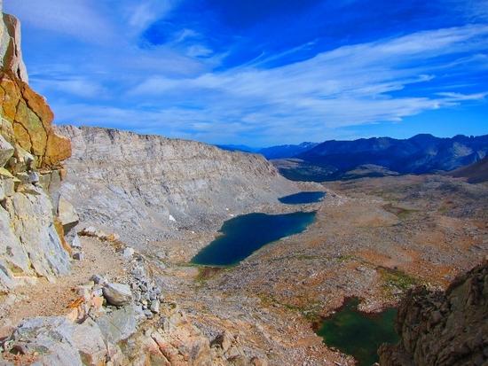
Milestone Basin:

Milestone Basin

Thunder Basin from Thunder Pass:

Thunder Pass

Upper Kern Basin:

Upper Kern

Forester Pass:

Forester Pass

View from Forester Pass:

Forester Pass view

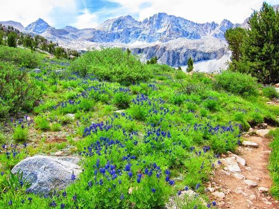
Wildflowers along the JMT:

Wildflowers

Bob Gross BPL Member
PostedOct 6, 2014 at 2:54 pm

Is it my imagination, or is it the calibration on my monitor?

It looks like the Technicolor button got turned on.

–B.G.–

Andy Duncan BPL Member
PostedOct 6, 2014 at 3:12 pm

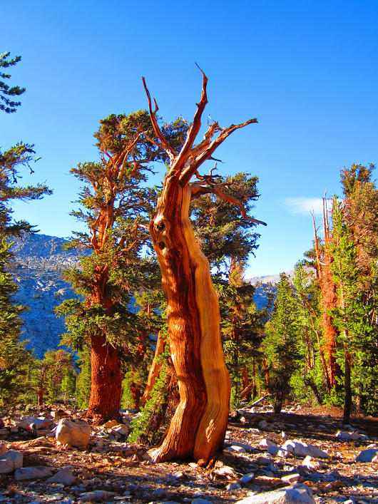
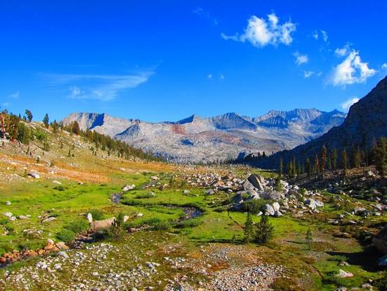
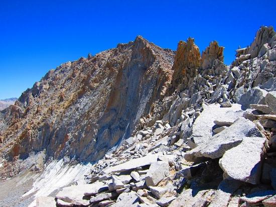
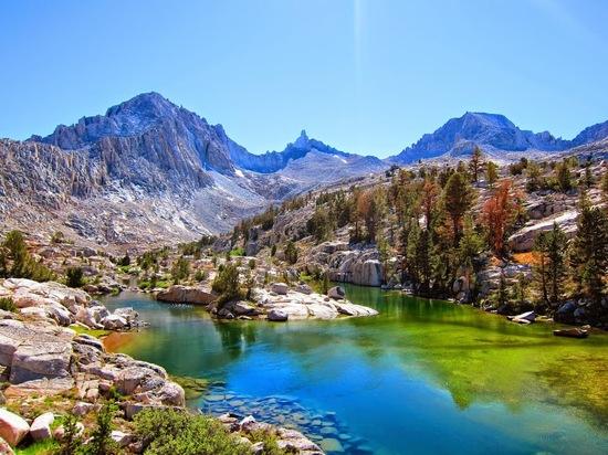
Thanks for noticing. I carried some orange colored UL rocks on this trip to brighten things up:) Your monitor settings are probably just fine. I shot many of the photos on this trip in "Super Vivid" on a Canon S95. Instead of going through to edit each one I left them as-is. I haven't made the jump to a DSLR, but maybe it's time. . .

PostedOct 6, 2014 at 3:16 pm

Great pics Andy! After reading your report and Tom Kirchner's report from earlier this year I'm going to have to pencil in a longer (4-5 day at least) trip to the upper Kern area next summer. Looks like there's a lot of stuff to explore up there.

This falls squarely under personal preference and "beauty is in the eye of the beholder". But the Kaweahs always seem very… linear to me. Like they are always looming in the background but you aren't necessarily "in" the mountains quite the same way you are, say, in Upper Basin or at Evolution Lakes. Maybe it feels differently when you're in the middle of it, though.

PostedOct 6, 2014 at 3:17 pm

Also, that chute on the north side of Thunder Pass looks gnarly.

Bob Gross BPL Member
PostedOct 6, 2014 at 3:27 pm

Andy, I don't know that particular camera very well, although I use several other Canon cameras, and they are somewhat similar in how the image files can be handled.

If you like the look of the Super Vid color, then you are OK to use that. However, perhaps you want to make them look best to the public viewers.

My own personal belief is that I want to shoot and record them as accurately and true as possible in RAW format. If it is necessary to Photoshop them to eliminate some unusual color shift or unusual sky conditions, then that is OK, but I certainly would not like my own results if I hit them all with deep color this way.

Here is a suggestion in case you want to experiment. Shoot everything as accurately as possible, whether that is RAW, JPEG, or otherwise. Once you have them saved on the computer, a utility like Canon Digital Photo Professional will allow you to shift them if you find it necessary. You can shift them individually or in one big batch operation, and you can shift them as little as you want. Plus, if you had originally shot them as RAW and then changed them, you can always revert them back to the original true state with a single click.

Some people take snapshots. Real photographers make photographs.

–B.G.–

Jay Wilkerson BPL Member
PostedOct 6, 2014 at 3:46 pm

Seams like you had a EXCELLENT trip Andy plus you took some AWESOME photos! What is next on your To Do list?

Thanks, Jay

Michael L BPL Member
PostedOct 6, 2014 at 3:57 pm

Yeah, the colors are pushed WAY too much. That said, I enjoyed the composition of most of them. Besides, they just help me visualize the trip as described on your trip report. Great job there btw. I especially like it when somebody takes the time to write up this length with pictures. Well done sir.

Andy Duncan BPL Member
PostedOct 6, 2014 at 3:59 pm

Thanks Andrew. Lots of good stuff to explore on the other end of the Sierra! After seeing the Kaweah Peaks from across the Kern for years it was cool to see them up close. They have a different look from inside the basin, but the basin is so large they still look far away from the lower lakes. Once I got closer they had more of that big mountain feel.

kaweah ridge

I spent a long time trying to find a route down that chute on the north side of Thunder Pass. It was frustrating to hike back down, but I went back about a month later and continued on from Longley Lake.

Andy Duncan BPL Member
PostedOct 6, 2014 at 4:06 pm

"Some people take snapshots. Real photographers make photographs".

Well said Bob, especially considering the current use of cell phone cameras. I appreciate your suggestions.

Andy Duncan BPL Member
PostedOct 6, 2014 at 4:10 pm

Thanks Michael and Jay. I went back the following month to finish the northern section of the GWD via Longley Pass, Brewer Basin, Mt. Brewer, Sphinx Basin, Roads End. I am hoping the weather holds for a shoulder season trip!

PostedOct 6, 2014 at 8:07 pm

You climbed Brewer, Andy? That's been on my to do list for awhile. Lots of good history surrounding that peak.

PostedOct 6, 2014 at 8:21 pm

Nice route, spectacular country.
Milestone basin is magical. Hoping to go again with Tom Kirchner next summer during a full moon.

Andy Duncan BPL Member
PostedOct 7, 2014 at 8:30 pm

I got to within 200+- feet via the north chute before being turned back by weather.

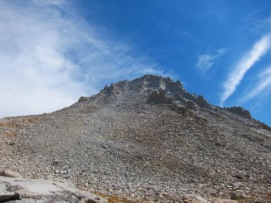
North Ridge route:

mt brewer north ridge

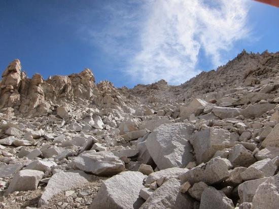
Close to the top of the chute:

mt brewer north chute

Backing away once the storm arrived:

mt brewer storm

PostedOct 11, 2014 at 4:08 pm

What a wonderful TR, Andy! Beautifully conceived and executed, as usual. You really got your money's worth on this one. Never mind about Pyra-Queen And Thunder Cols; you made the right call on both of them. Pyra-Queen is no place to get caught out in a thunder storm, as the south side is pretty slow going, and Thunder will still be there for next time. You found the right place to descend, and I'm pretty sure you'll dial it in next time. The pictures of your ascent of Pickett Creek going into Kaweah Basin really brought a lot of fond memories flooding back. It is flat out my favorite piece of off trail hiking, and you nailed it. Did you happen to see an Ouzel working the section of the east fork on the smooth slabby section just before it drops down to the lake with the log jam when you were hanging out there?

Thanks for posting this. It is one of the very best TR's I have ever read.


@Andrew
. You really have to get up there. It's made to order for you.

Viewing 15 posts - 1 through 15 (of 15 total)
Loading...