Packrafting is a sport I have wanted to do for a long time. I’d begun to ease into it gradually in the early summer but I had been very cautious. I’ve learned the hard way how quickly rivers can get dangerous.
So when Dave C. suggest a group packrafting trip in the Bob Marshall I jumped at the chance. I didn’t care where or when if I could go with someone that knew what they were doing I was going to take advantage of the opportunity.
The group ended up being me, Dave, M (his wife), and Spencer.
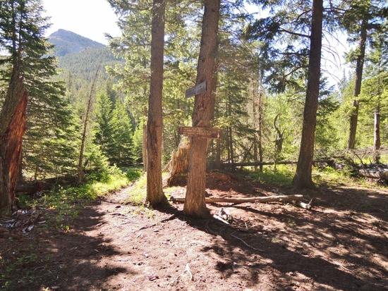
The plan changed several times as weather and ideas evolved, I didn’t really care as long as we went.
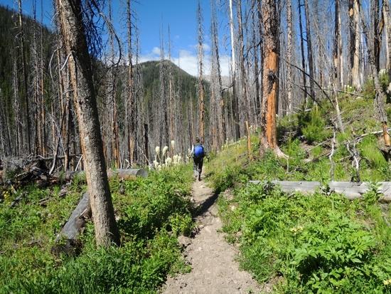
The rough plan was to hike from Benchmark (on the East side of the wilderness) to Danaher Creek and float down it to the South Fork of the Flathead. From there we’d raft North, and eventually hike back east.
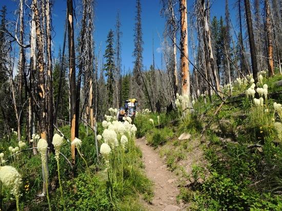
After a hike in the cool forest we moved into a burnt out forest. This year the bear grass was unusually good. Dave’s wife M is great at identifying plants. Unfortunately I was often too busy keeping up with Dave to properly appreciate her expertise.

It was warm for the rockies and I was carrying a lot more weight then I was used to. I figured my packrafting gear added about 10 pounds plus a lot of bulk to my pack.
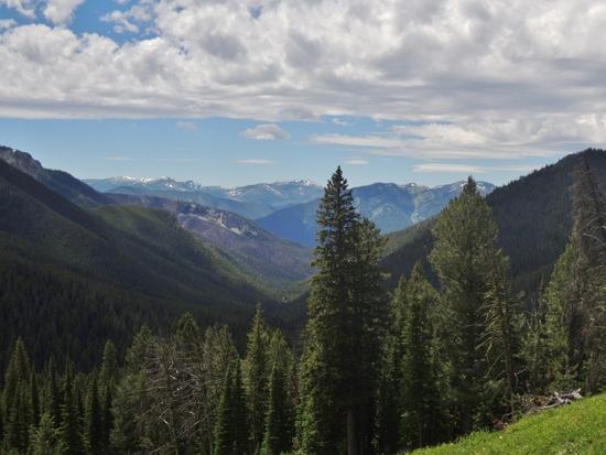
After a morning of hot hiking we got a glimpse of the high country at what Dave called Stadler Pass (some maps don’t seem to name it though so its a bit confusing). We sat in the grass and ate our lunch.
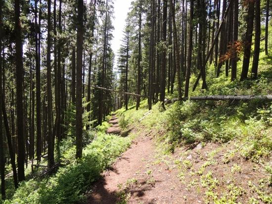
After lunch we dropped back into the forest and began following Stadler Creek toward the headwaters of the Flathead. M and Dave kept us entertained with stories about Glacier Park and the various ways staff there had managed to kill themselves.
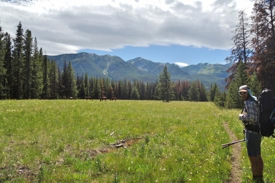
Eventually the forest opened up into a broad valley. The Bob makes a great packrafting destination partly because the valleys are wider.
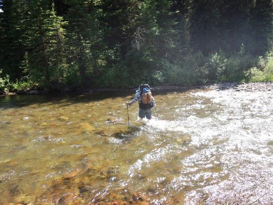
Unfortunately this shot of Dave wading Danaher Creek was the closest I got to a picture of our first day packrafting. The creek was like this but winding with lots of wood and log jams. A few required portaging, most just required careful paddling.
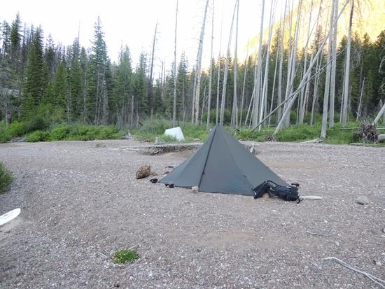
When Dave spotted a nice gravel bar and suggested we stop I was ready. Somehow that gravel bar reminded me of happy memories of taking troubled boys down rivers and camping on similar gravel bars.
While we were setting up Dave scared up a moose that ran across the river in front of us.

Packrafting is different then backpacking. On a long backpacking trip I can pitch camp eat dinner and roll into bed very quickly so I often hike until dark. But when you are rafting both you and your gear tend to get wet so its nice to stop early enough to dry things out and build a fire.
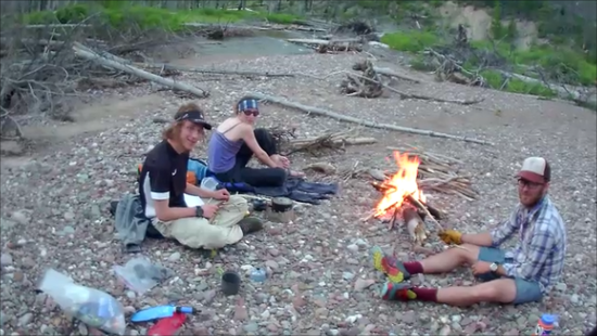
After pitching my rather finicky tarp I went looking for a bear hang, only to discover that Dave had already found one. He’d also caught three trout which were a welcome addition to dinner.
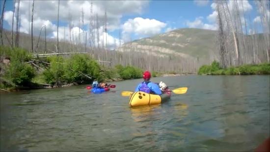
In the morning we paddled off the Danaher and onto the South Fork.
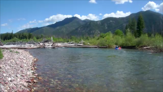
The South Fork of the Flathead is bigger but there were still a few log jams that we had to get out and portage.
I only got a few pictures of the day and none of the rapids we went through. Most were small Class I or II but there was one nice long wave train that was the biggest thing I’d paddled myself up to that point.
Where the river braided out sometimes the currents converged in tricky ways. Spencer took a swim in a spot that really didn’t look that bad, except that you were surprised by the current. Dave filled his little Scout raft with water but stayed afloat. M and I were behind them and could see what to avoid
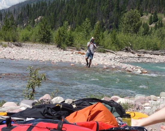
Eventually we reached the White River where the plan was to hike up, pitch camp and possibly raft back down as a day trip. While we dried out Dave caught a few fish but lost the big one we wanted for dinner.
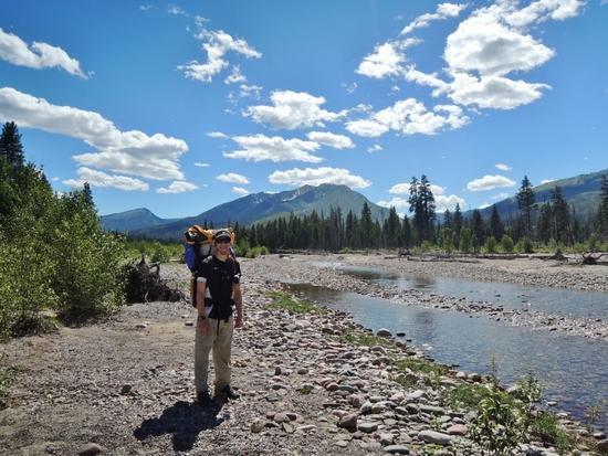
We started hiking up the White River (after fording its braided mouth).
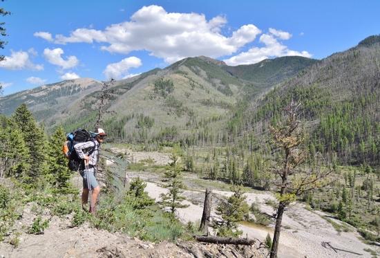
The sun was brutal, I would guess it was about 90 degrees and the trail was dusty. Pretty soon we began to think that rafting down wasn’t worth it if we’d have to hike this trail again.
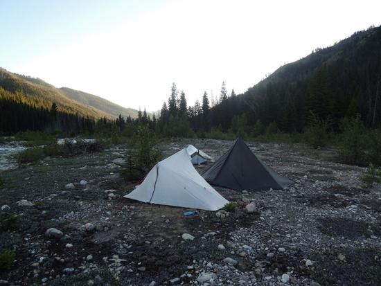
I’d requested a non-gravelly campsite because I’d accidentally left my sleeping pad at the car. I could make do with two life jackets and Dave’s sit pad but I didn’t want gravel. Dave did his best and but when he found a site was so tired I could have slept on a boulder.
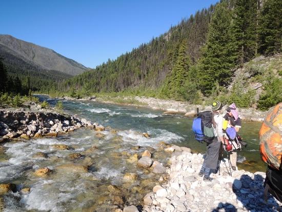
We tried to start early the next day because we knew the hike over White River Pass would be a killer in the afternoon sun.
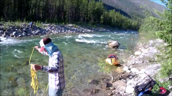
The White River was a bit deep to ford so we inflated Spencer’s raft and lined it across the river with a throw rope so we could all cross without blowing up rafts.
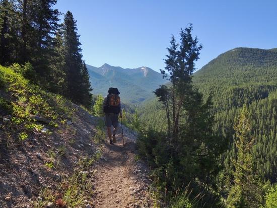
The climb was steep but not horrible. But once the sun came up the fun factor went down a bit.
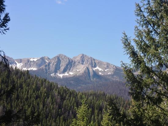
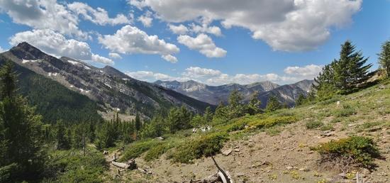
But we were rewarded with some great scenery as we got higher.
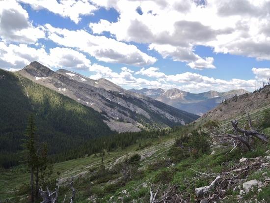
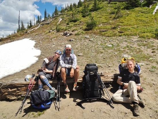
We took a lunch break at the top. I’d brought adequate food but hadn’t planned on a really full day. Then Dave and M started complaining that they’d planned poorly and brought way more food then the need. So Spencer and I finished off their Nutella and taco shells and a few other odds and ends. I was full and Dave’s pack was lighter.
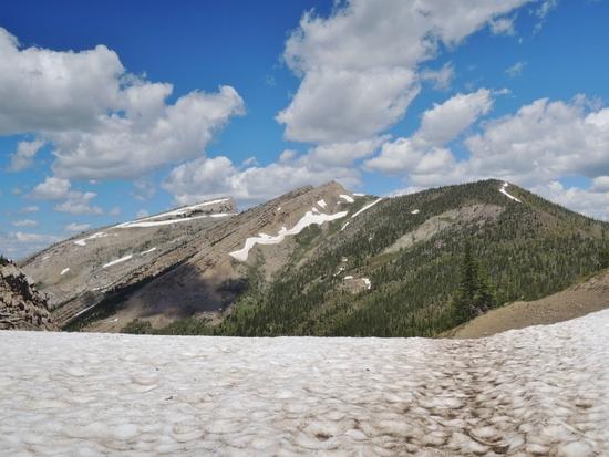
Soon we had to get moving, though there were a lot of miles between us and home.
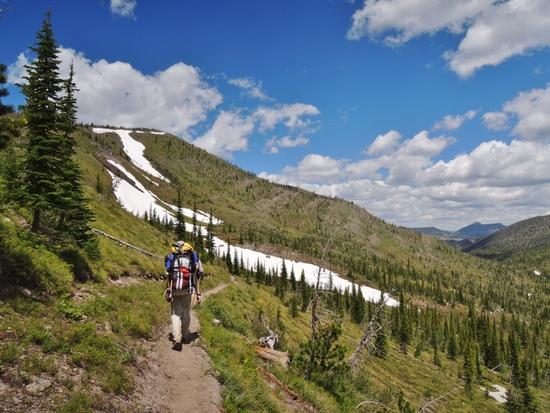
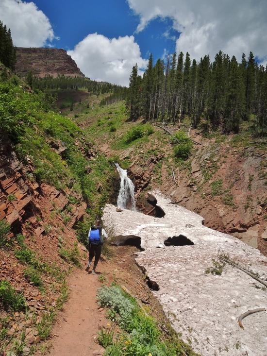
The hike down from the pass was if anything prettier then the hike up too it. And it was very nice to be going downhill.
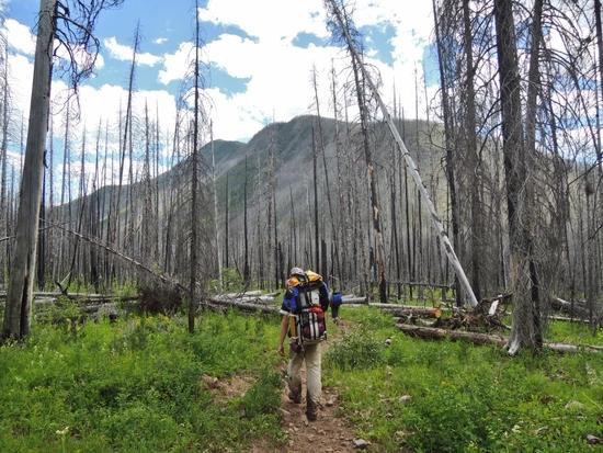
As we hiked through a burned out forest I wondered how all this wood would affect the floatablity of the West Fork of the Sun River that we were planning to float.
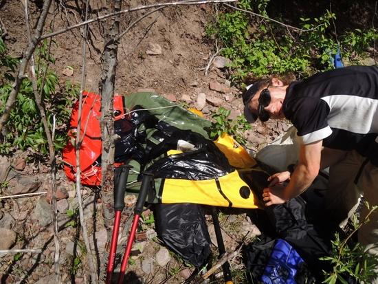
Impatient to get on the water we went down a steep bank and blew up our rafts crammed between willow bushes.
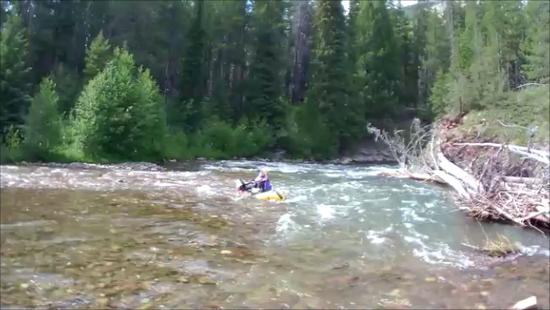
The West Fork Sun didn’t have the volume of the Flathead but it was tricky, it had lots of twists and turns and enough wood to keep you on your toes.
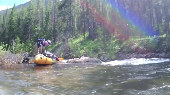
We portaged one rapid in a small gorge. The river was blasting through a narrow spot that looked tricky. I was tempted to try it but Spencer thought it was a bad idea, since he has more whitewater experience I took the hint. Also if you tipped there you’d likely have to swim through a rock garden.
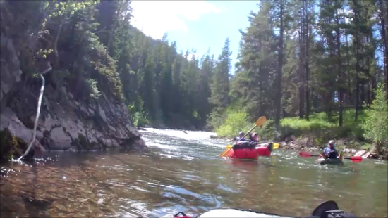
Below the tricky spot the river went through a beautiful forest with an almost Northwest feel to it.
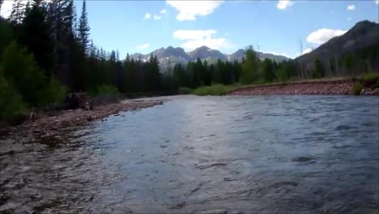
Farther down the forest opened up a bit and we had some great views of snow topped mountains behind us. Still shots from my waterproof helmet camera don’t come close to doing it justice.
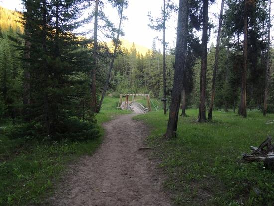
Eventually we got out and had “4” (probably more like 6 or 7) miles to hike. I fell behind and had a hard time catching up. The dust from the trail stuck in my wet socks and rubbed my feet like sand paper.
I worried at one point that in my brainless rush to catch up I’d taken the wrong trail. It would have been most embarressing if I’d hiked off into 2.5 million acres of wilderness and got lost. Yeah I wouldn’t have died but having SAR called because I didn’t stop to look at the map would have ruined my outdoor reputation forever!
I confirmed I was actually on the right trail when I found the foot print of Dave’s Innov8 shoes in the mud. I eventually reached the trailhead and found out the others were only a little ahead of me the whole time.
That trip was one of the highlights of the summer and a fantastic learning experience. I learned a lot by using my gear on a multiday trip and watching how the others, especially Dave, dealt with the challenges of hiking and rafting at the same time.
I have higher resolution pictures as well as other rafting and hiking reports here.