Just a quick paddle,climb and hike to see how some of my local trails faired. 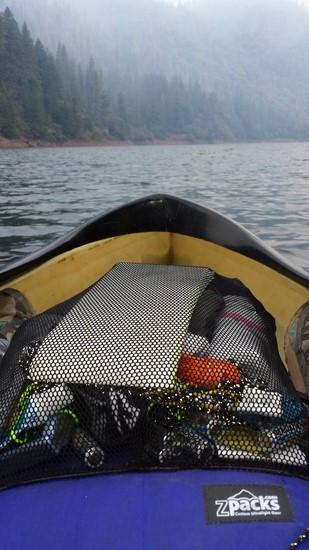
These are the only photos small enough to upload :/
Topic
Become a member to post in the forums.
Just a quick paddle,climb and hike to see how some of my local trails faired.
These are the only photos small enough to upload :/
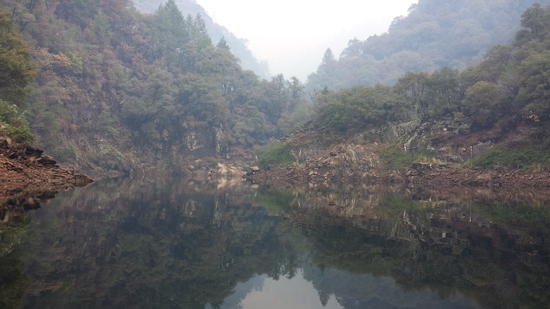
Is that Slab Creek Reservoir/Silver Creek?
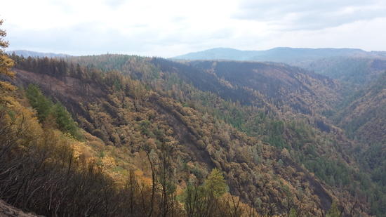
Note that the Eldorado NF has reopened areas east of Ice House Road, but majority of the forest to the west is still closed. See forest order & associated map here: Eldorado NF Alerts & Notices.
Yes I paddled up Slab Creek Reservoir and passed Brush Creek. I hiked up the old Chute Camp trail until it disappeared. There was a bit or rain in the afternoon and debris flows were common, a few hundred more yards of the trail are now covered. Silver Creek is a few miles East of this location. I am aware of closures.
I really enjoy exploring that area, and south of 50 near Kyburz Silver Fork/Caples Creek, especially in the shoulder season when higher altitude locations pose more risks.
Have you heard when they plan to remove restrictions west of Ice House Rd.?
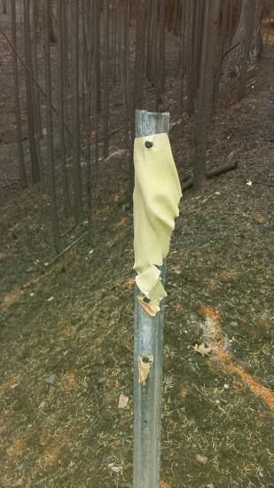
I haven't heard any estimates of opening to the public other than "When it is safe to do so". Judging from other large wildfires that could be a year or more from now after the soils stabilize and hazard trees are removed from access paths. I am packing a chainsaw and hand tools over again this weekend to make progress on the Chute Camp trail. Most of the trees have stopped smoldering and removing overburden from the trail bench isn't going to get any easier as the season progresses.
Become a member to post in the forums.
 Loading...