Weminuche Wilderness, CO. September 17-23, 2014.
Elk Park to Needleton loop with side trips to:
-Vestal Basin
-Highland Mary Lakes and Verde Lake
-Rock Creek Trail almost to Rock Lake(cut a bit short by weather)
-some wandering after losing the CT near a 4×4 road due to the TH being mismarked on National Geographic's map, plus backtracking looking for my lost Buff.
~66 miles total
Day 1.
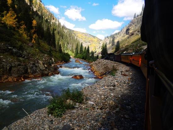
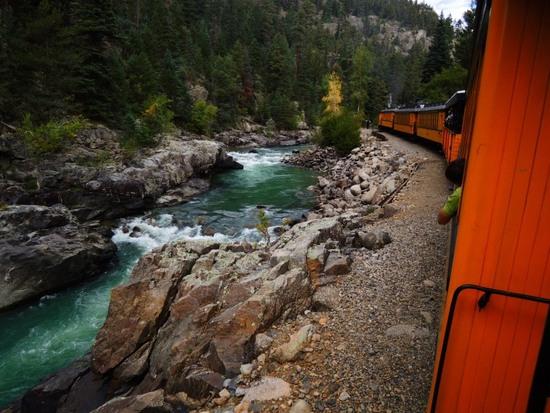
Arrived Elk Park TH via the Durango & Silverton train.
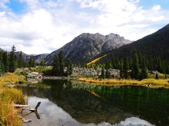
Hiked to the beaverless "Beaver Ponds",
..and from there to Vestal Basin.
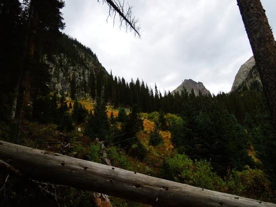
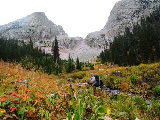
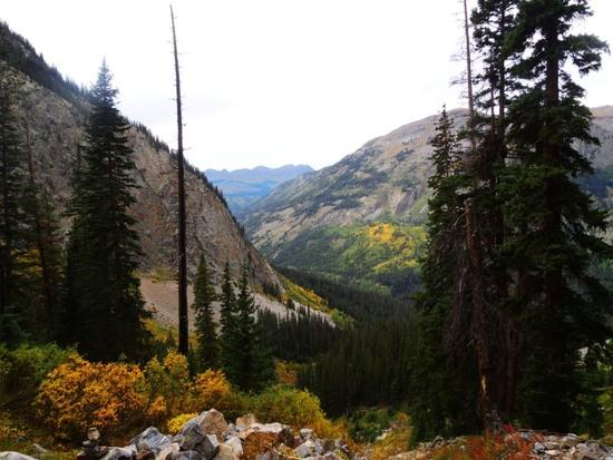
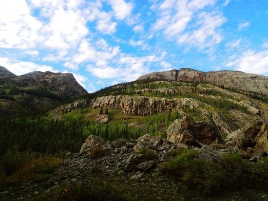
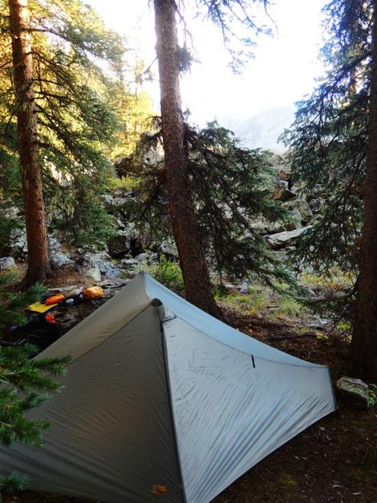
Returned to the Beaver Ponds, and continued about 3/4 mile before making camp near a stream. It was in the 60s during the day, and ~40F when I woke in the morning.
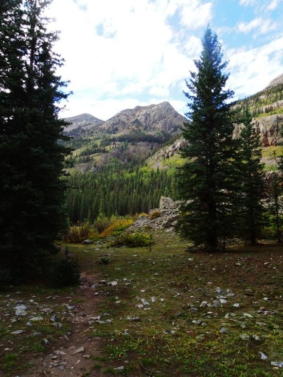
Day 2.
From camp to the switchbacks up to the CT.
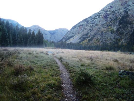
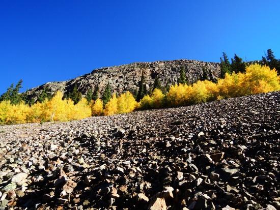
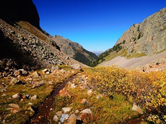
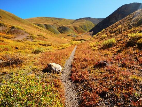
On the CT, which shortly joins the CDT. The second I broke over the top of the hill, I was assaulted by the wind, and had to put my Ferrosi hoody on over my t-shirt.
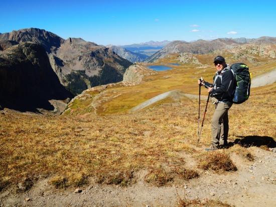
That setup was shortlived, as the temps quickly rose with the sun. Soon it was ~80F and by the time I reached the CT/CDT junction, the direct sun was turning my exposed skin red. I ditched the t-shirt and jacket, and donned the Capilene2 zip neck that I would wear for the next four days. Along with my cap and sunglasses, I also put on gloves, and used my Buff to cover my neck and the sides of my face before setting out for Highland Mary Lakes.
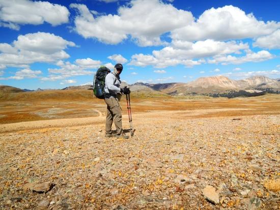
The Highland Mary Lakes Trail, and onward into the Lakes area.
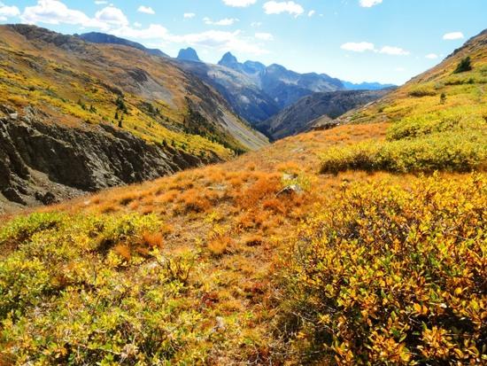
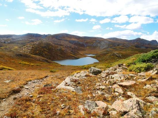
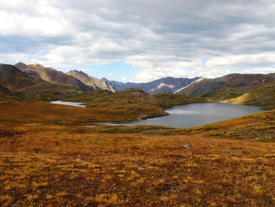
I soon made camp near one of the lakes. Big temperature difference here! It was 80F when I made camp, and 29F in the morning.
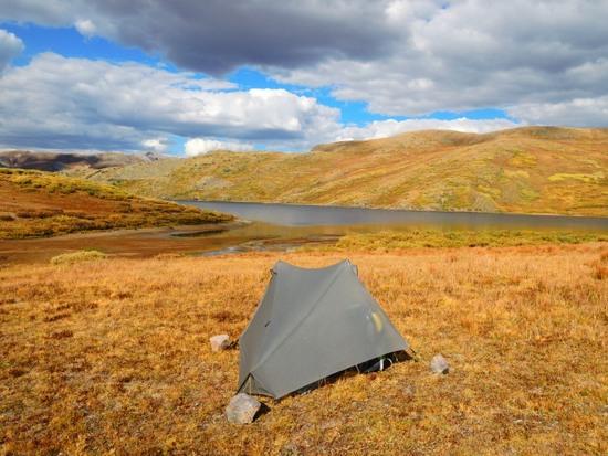
Day 3.
Here are a few pics from touring around the lakes in the morning.
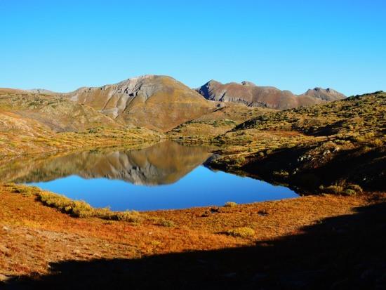
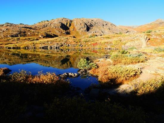
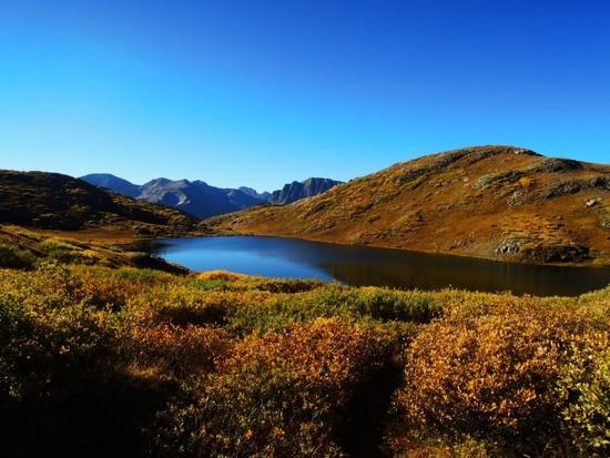
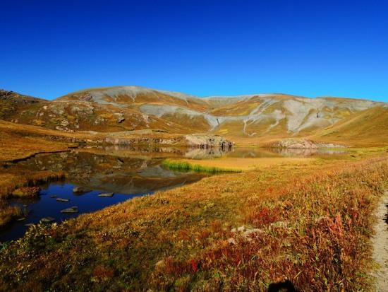
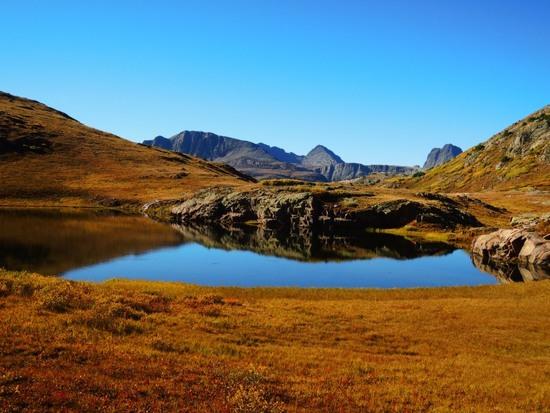
Hiked back to the CDT/CT, and headed toward Hunchback Pass, enjoying some wonderful scenery all the while.
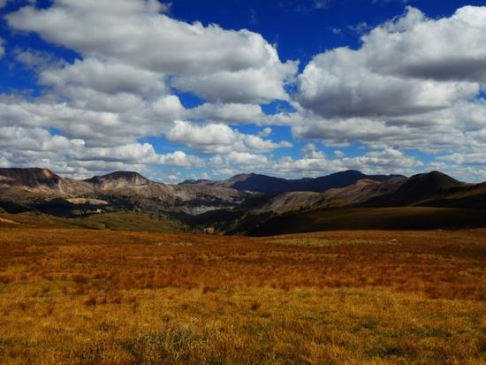
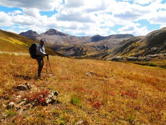
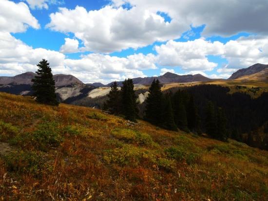
Here, I broke away from the trail for a spell, and when I went to return to it, it was gone…
Rather than backtrack, I continued to follow the ridge I was on, catching glimpses of the valley below and a 4×4 road. As it turned out, the road is not properly shown on my map. Neither is the fact that the trail turn to meet and then merges with it, or that you have to follow that road almost to Kite Lake to reach a TH below Hunchback Pass.
As it was, I eventually made my way down to the road and unthinkingly turned the wrong way. I continued for a bit, realized my mistake, and was going back when I met a couple on an ATV who told me about the road going up to a lake and there being a couple of THs along it.
I followed the road to where it turned up toward the lake, and made an early camp due to threatening skies. Got a little hail and rain, but it didn't last long. I also met some hunters and horsepackers going in both directions, and a couple of young people who worked for the CO parks who confirmed the location of the TH for me.
Day 4.
Hiked up to the TH for Hunchback Pass, over the pass, and along the Vallecito Trail. I detoured briefly at a trail junction(continues up toward Nebo Pass) to get a better view of some peaks I was seeing through the trees, and took a snack break there.
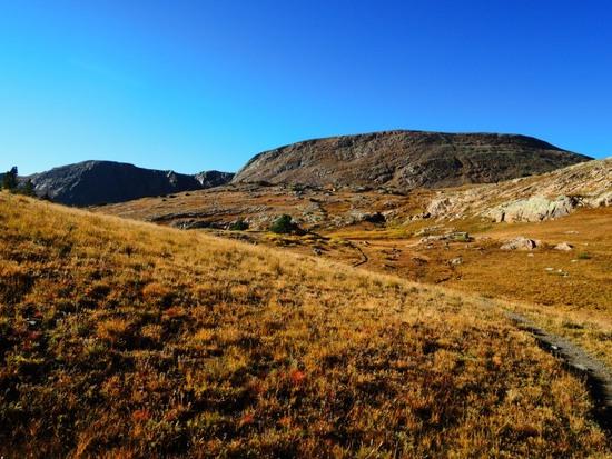
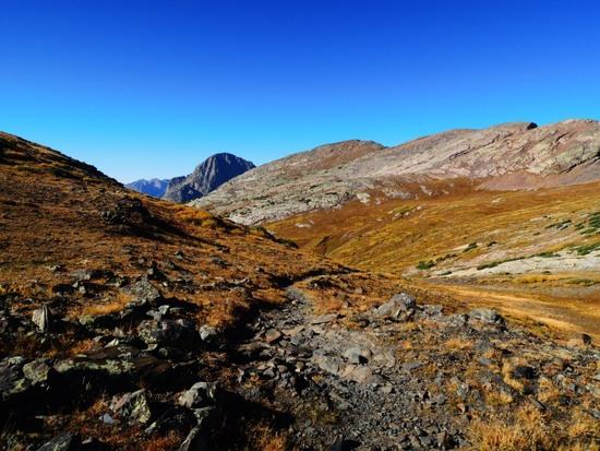
The Vallecito Trail.
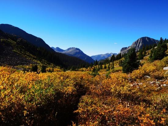
From my detour.
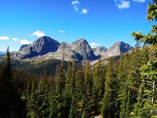
The Vallecito Trail is at lower elevation, wooded, and interspersed with drainages and waterfalls, several of which I took time to check out. I also met a group of elk hunters from Louisiana and an older couple from British Columbia.
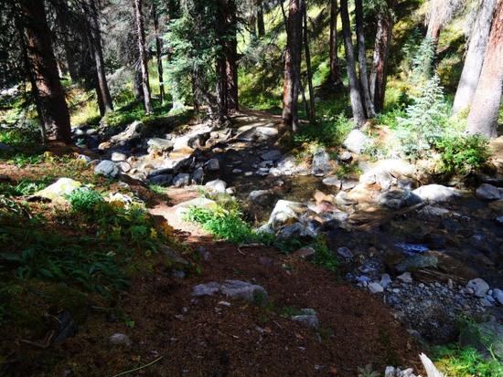
Having nixed my plan to spend a night at Sunlight Lake due to being very sluggish on all the steep uphills(never acclimated in that respect), I instead made a left onto the Rock Creek Trail, which is a much gentler climb, and made my way toward Rock Lake.
Here are some pics from the Rock Creek Trail.
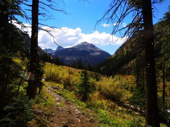
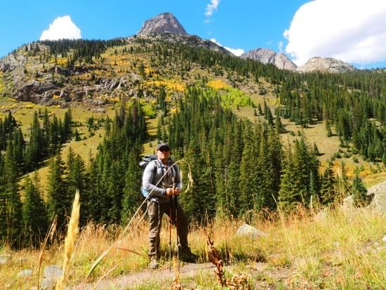
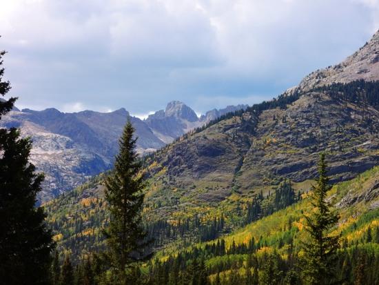
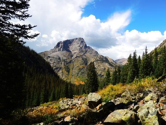
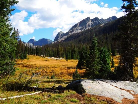
I found the scenery particularly beautiful, but got stuck just before the final climb up to Rock Lake when a cloud came over the cliffline just above me and started dumping rain and hail. I pitched my tent next to the trail at that very spot, and the rain continued for 14 hours.
Day 5.
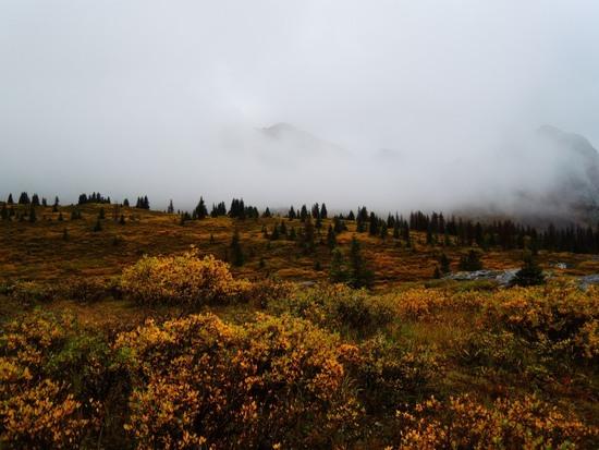
The rain slowed in the morning, and it was very foggy. I put on rain gear with a pair of grid fleece bottoms under my rainpants, packed up my wet stuff, and started hiking back toward the Vallecito Trail.
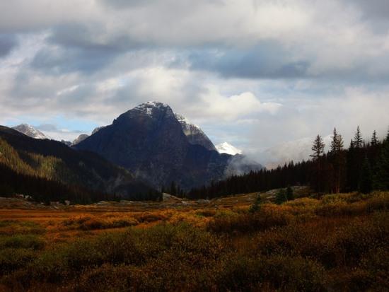
Snow on the peaks that had been covered in clouds the afternoon before.
Soon after rejoining the Vallecito Trail, I had my first "real" creek crossing of the day, and got about waist deep in the water.
I have a strange phobia of things under the water that I can't see, so creek crossings are a big deal to me!
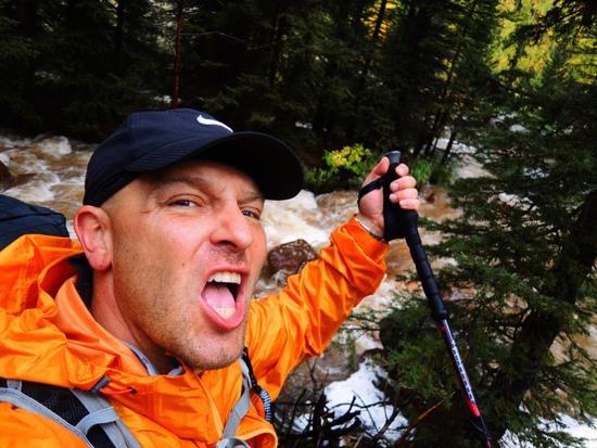
The rain soon cleared, and everything was beautiful again, but the flooding continued. The trail was still often underwater, especially near drainages whose output would flow with the path.
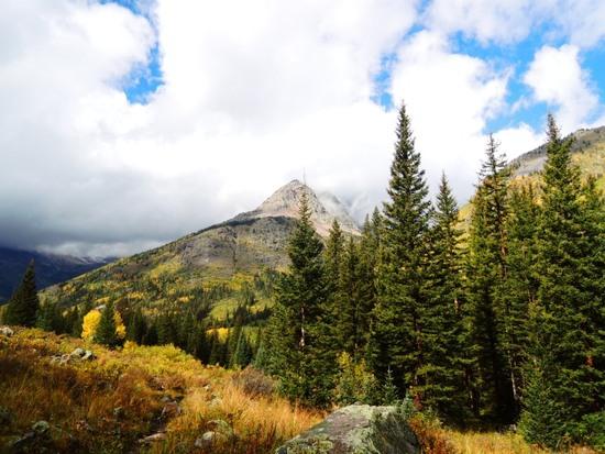
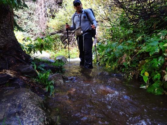
I made my way to the Johnson Creek Trail junction, and continued until it passed over Johnson Creek, camping just on the other side. I hung my wet gear up to dry, ate a big meal, and built a fire(surprised how easy it was given all the rain-no wonder they have all those wildfires out there!). The skies stayed clear for three hours. Then it started raining again, and rained all night.
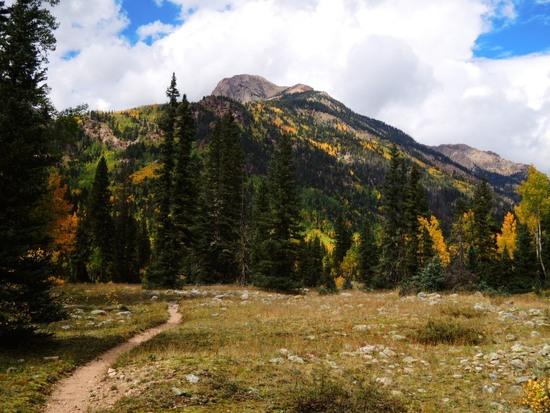
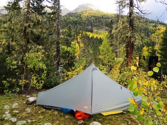
Day 6.
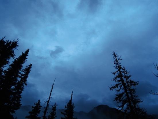
Still raining in the morning.
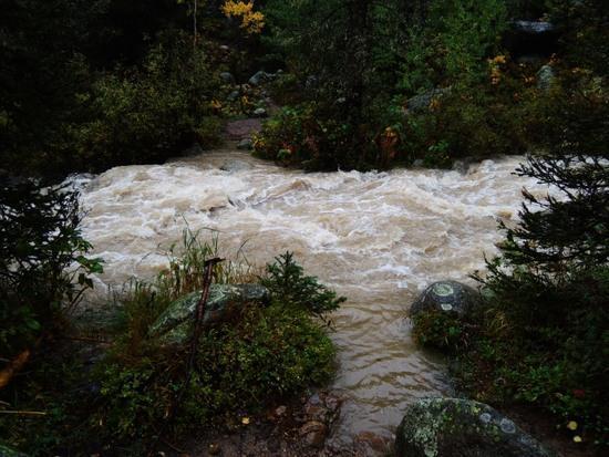
The creek where I crossed the day before is flowing much stronger.
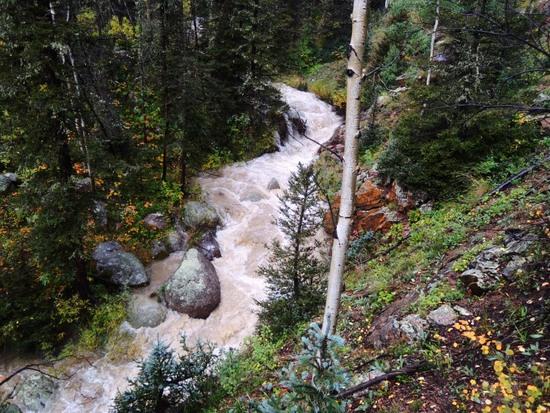
I didn't wade this one, but bushwhacked upstream until I found a tree across it.
As the trail continues to climb, it comes closer to the side of the gorge where the actual Johnson Creek flows-the water I'm having to cross several times is apparently fed by drainage from Columbine and Hazel lakes along with streams that are joining them.
I certainly wouldn't be crossing…this:
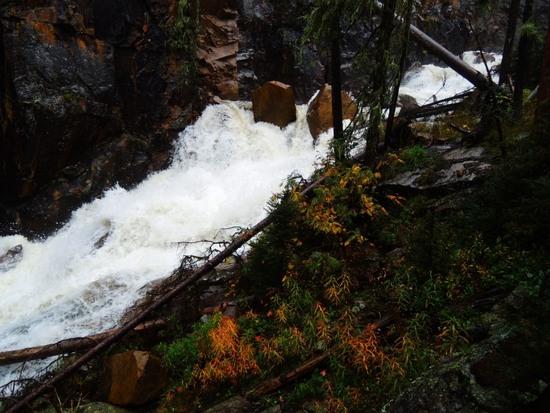
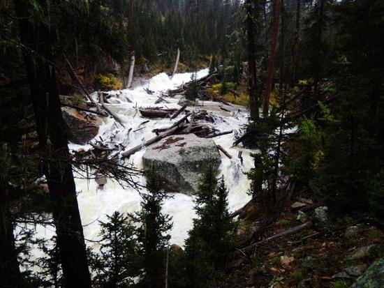
Finally, after multiple crossings, and continuous uphill progress, I begin the approach to Columbine Lake, and Columbine Pass.
Looking back toward Johnson Creek.
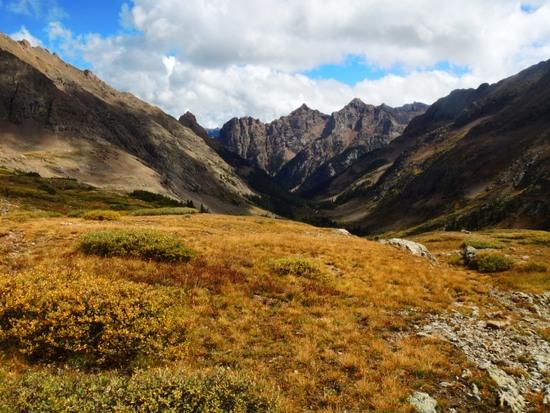
Looking up to Columbine Pass.
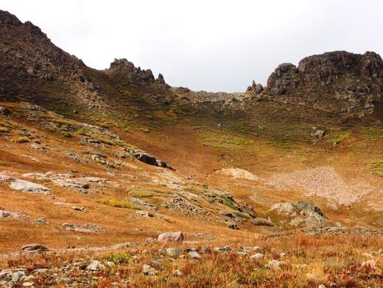
Columbine Lake.
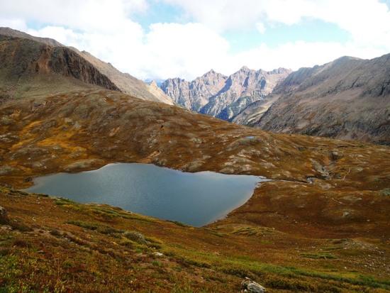
Looking out into the Chicago Basin area-almost all of my remaining trail is blessedly downhill! The skies also cleared, and stayed that way overnight.
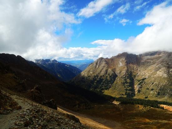
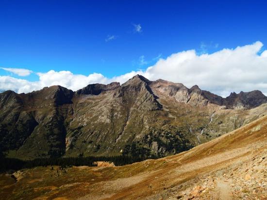
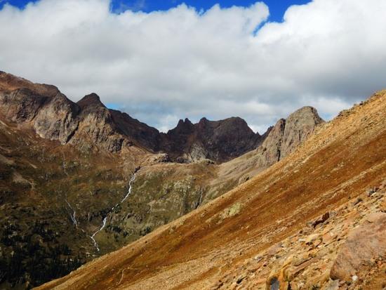
Into Chicago Basin…
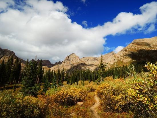
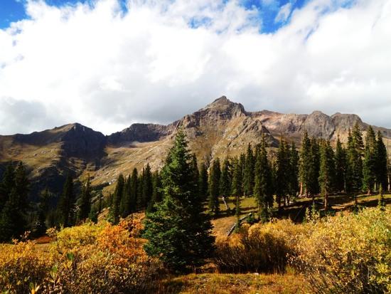
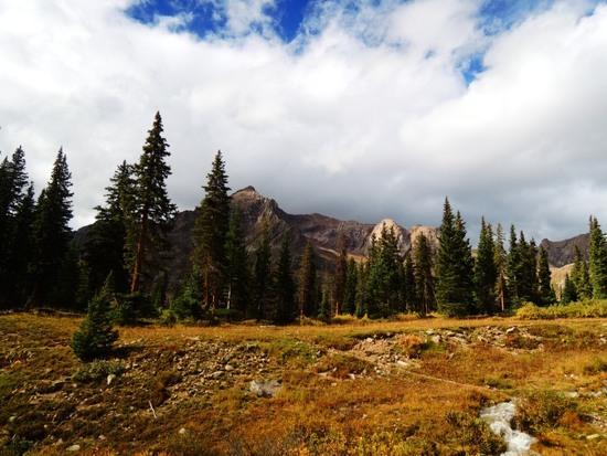
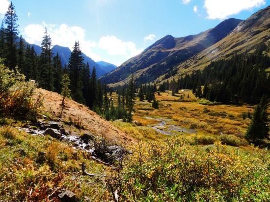
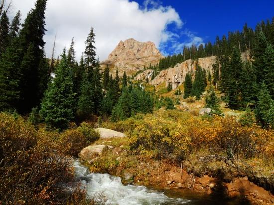
I did not camp in Chicago Basin, but continued another mile or two past it.
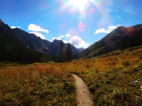
You can tell it's been one of those days…
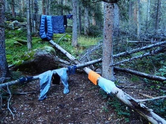
Day 7.
Up in the morning, and down the few remaining miles to the Animas River and Needleton TH.
Rather than wait for its return trip to Durango in the afternoon, I'd decided to catch the morning train on the way to Silverton, then ride back from there.
The Animas River.
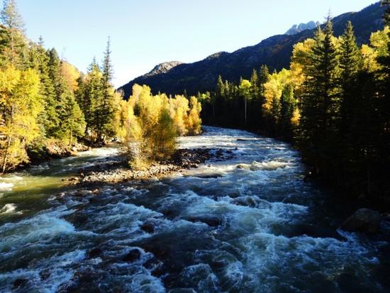
Here comes my ride!
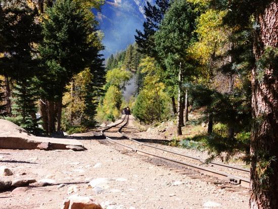
And away we go…